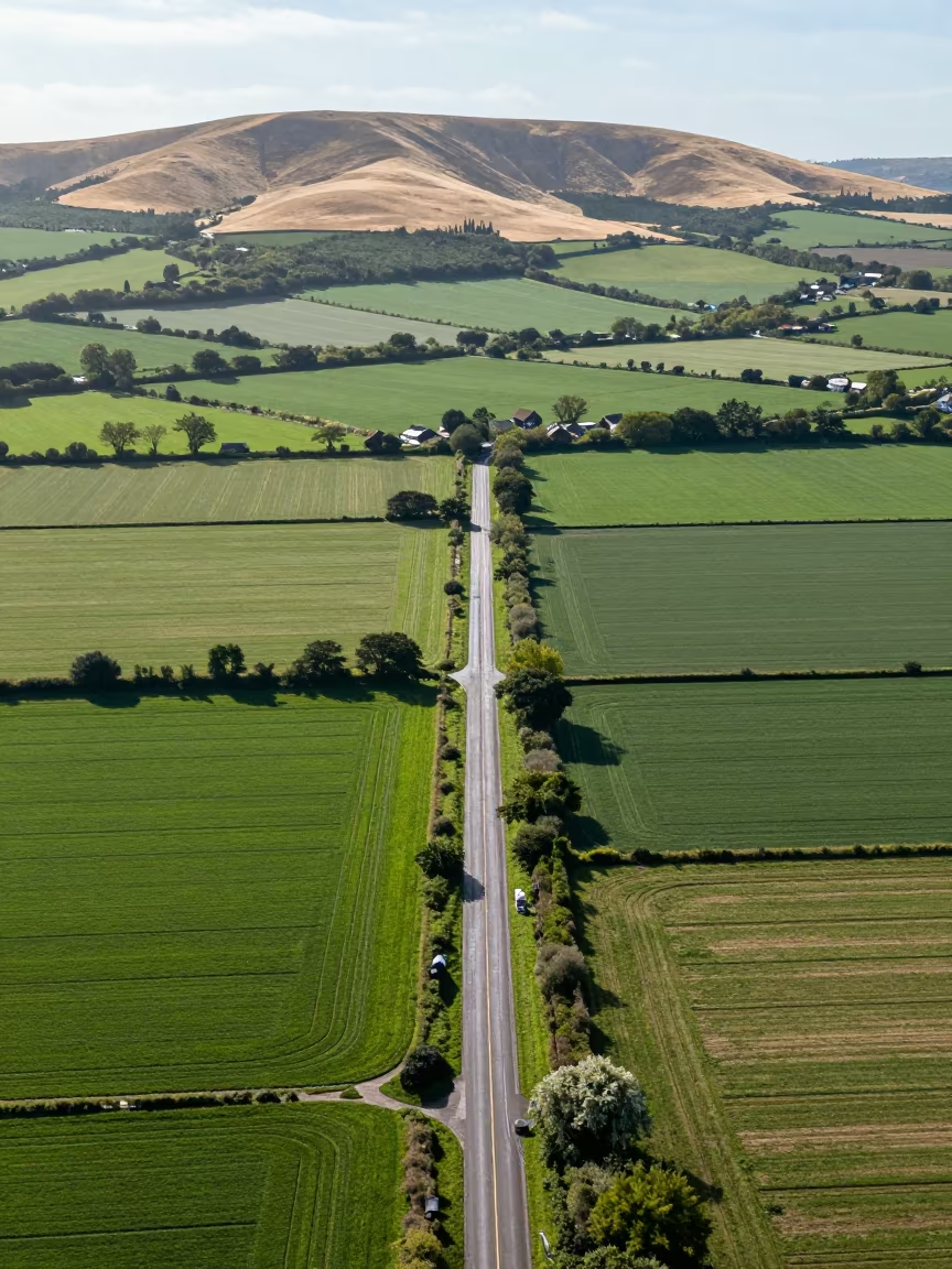
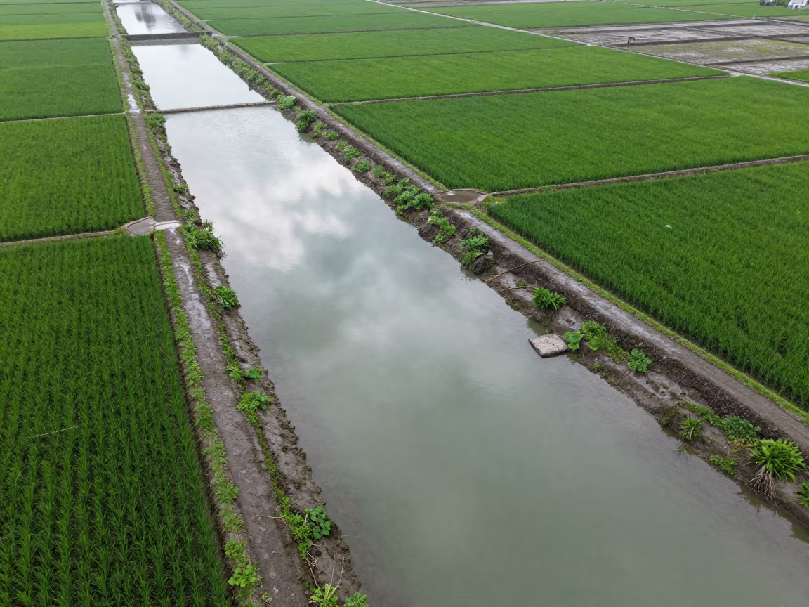
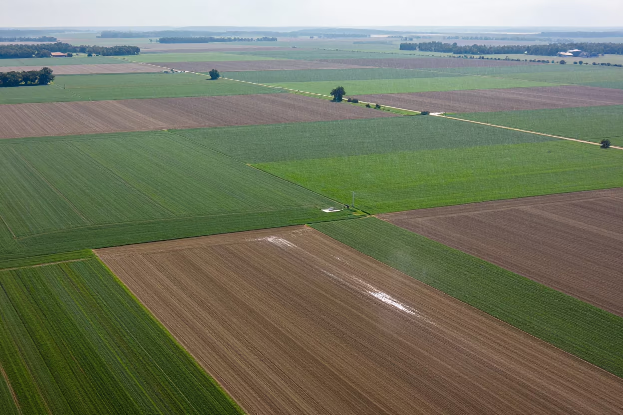
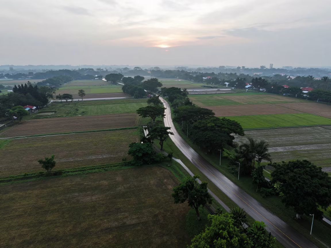
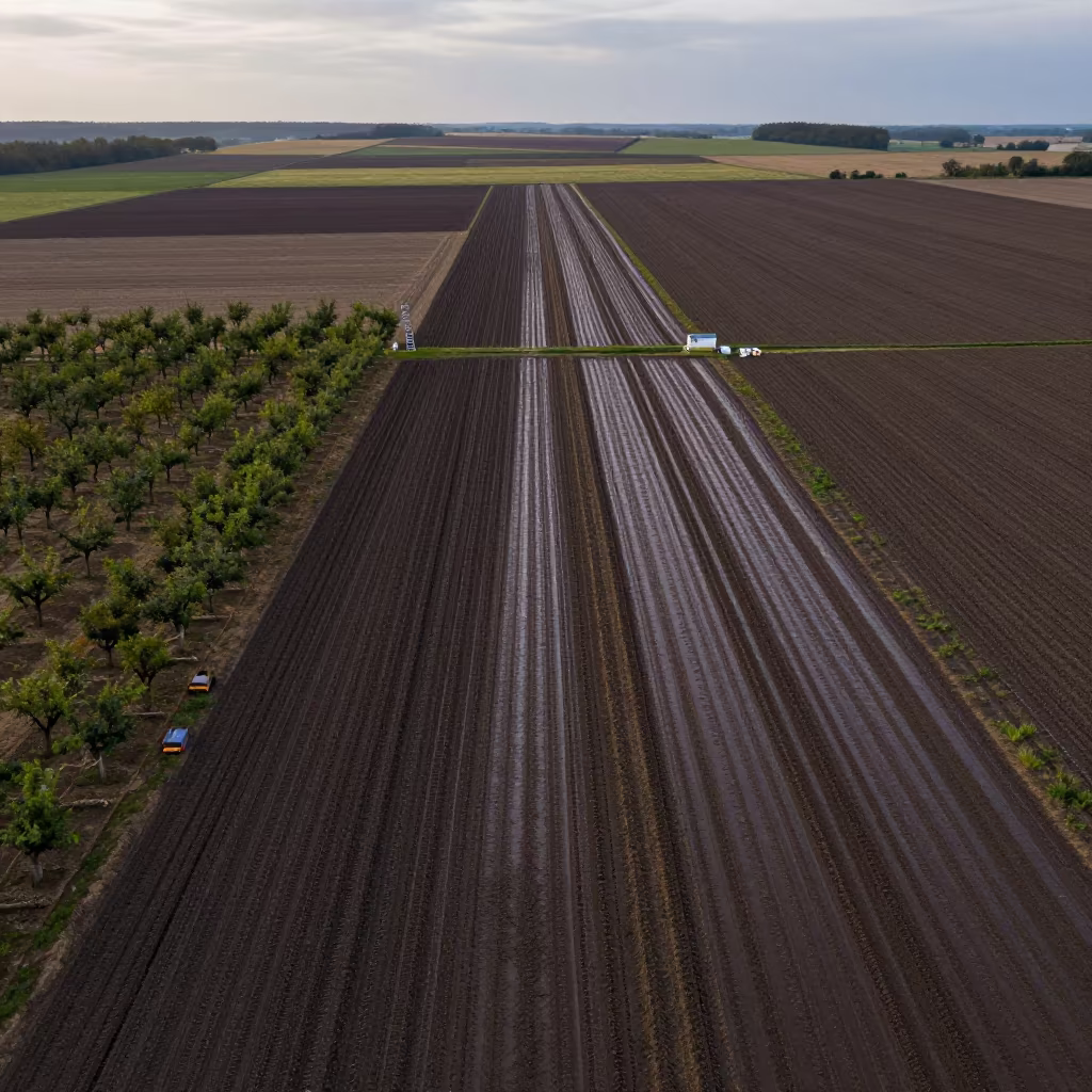
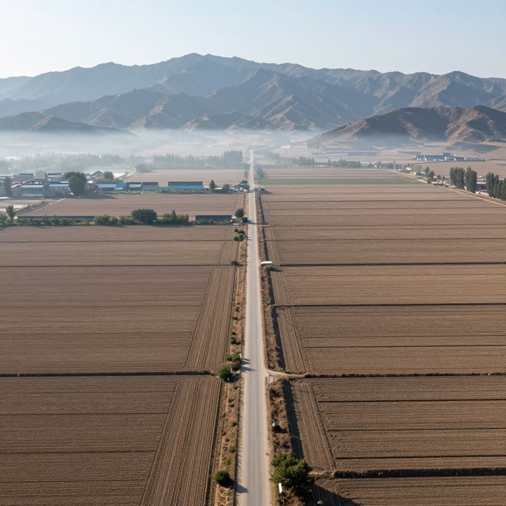
Aerial View of Country Lanes and Irrigation Fields
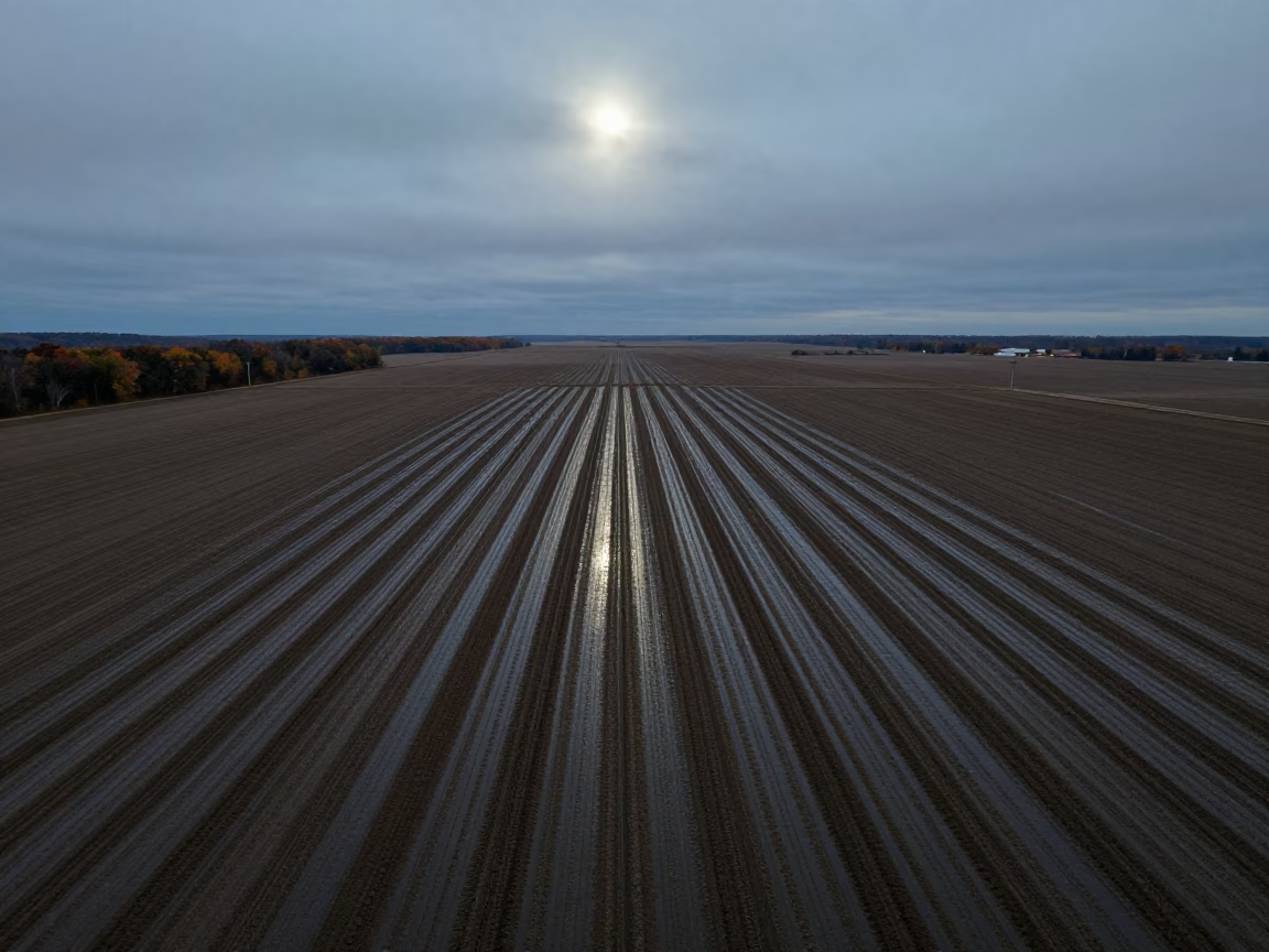
Bright midmorning light illuminates a geometric tapestry of fields below, where irrigation channels carve precise lines into the earth. Thin ribbons of country lanes cut through the green and brown plots, forming a network that stretches toward the horizon. The ground appears wet, reflecting the overcast sky despite the bright illumination, suggesting recent or steady rain. Layers of depth recede as the lanes narrow and the field boundaries become less distinct in the distance. The scene displays cartographic clarity, with every furrow and path visible from high above. A dark shadow from a low cloud falls across a cluster of trees, breaking the uniform texture of the landscape.
Free to download. CDN hosting requires a link back to this page. Terms
Similar Images
Aerial View of Irrigation Patterns Near Chelmsford
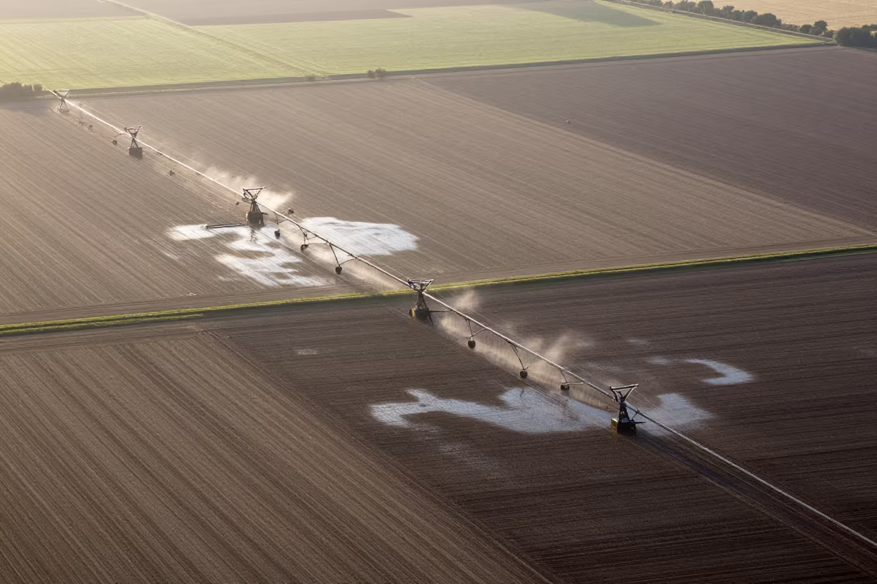
Aerial View of Swedish Irrigation After Rain
Aerial Kansas Farmland Irrigated Rows
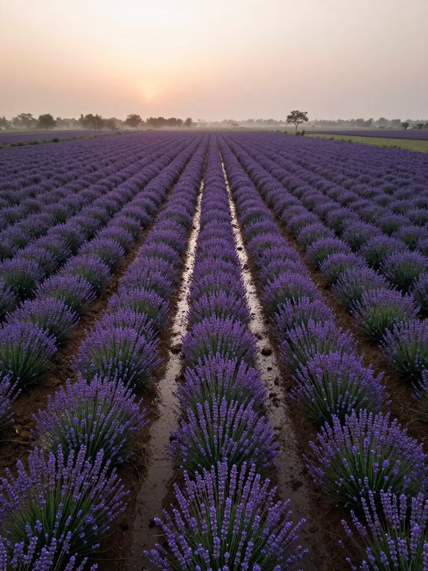
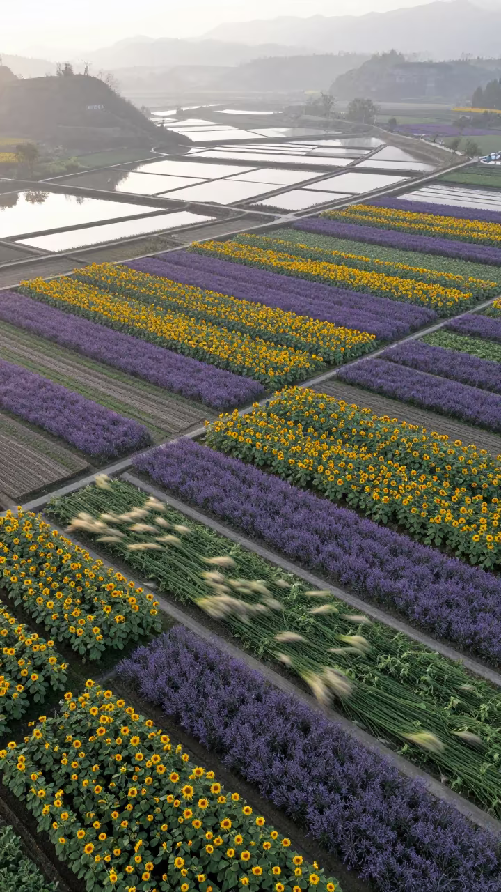
Aerial Lavender Fields India Rainy Season
Aerial View of Taiwan Irrigation Canals at Low Tide
Monsoon Orchard Patterns Above Kamsar
Aerial View of Corn and Soybean Fields in Anand
Kansas Farmland Patchwork Under Drizzle
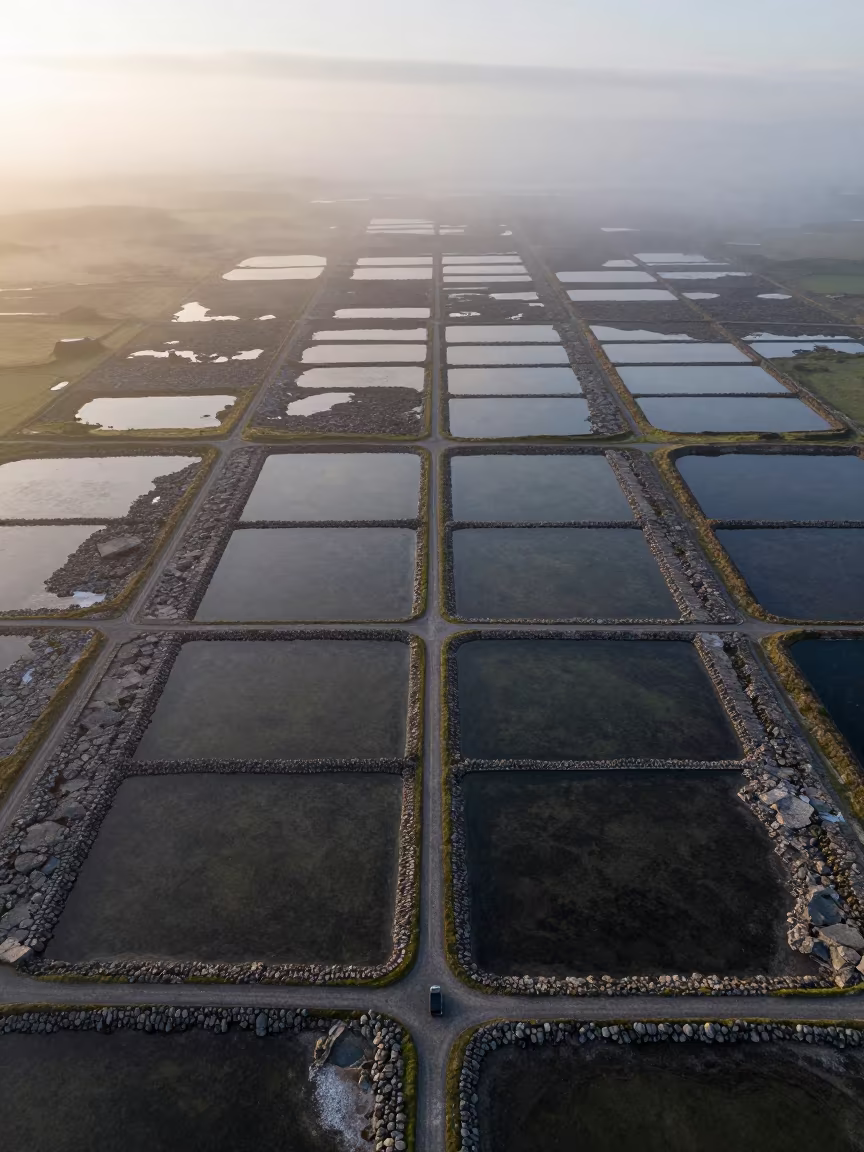
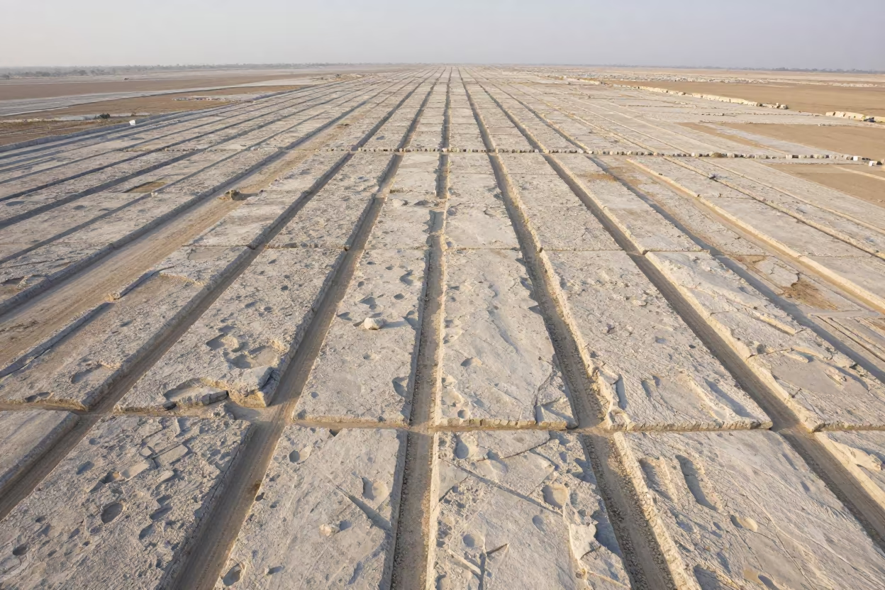
Irish Salt Ponds Aerial Limestone Karst View
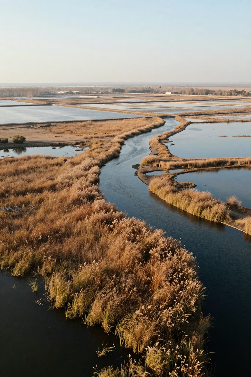
Aerial Spring Dawn Over Salt Ponds Fields
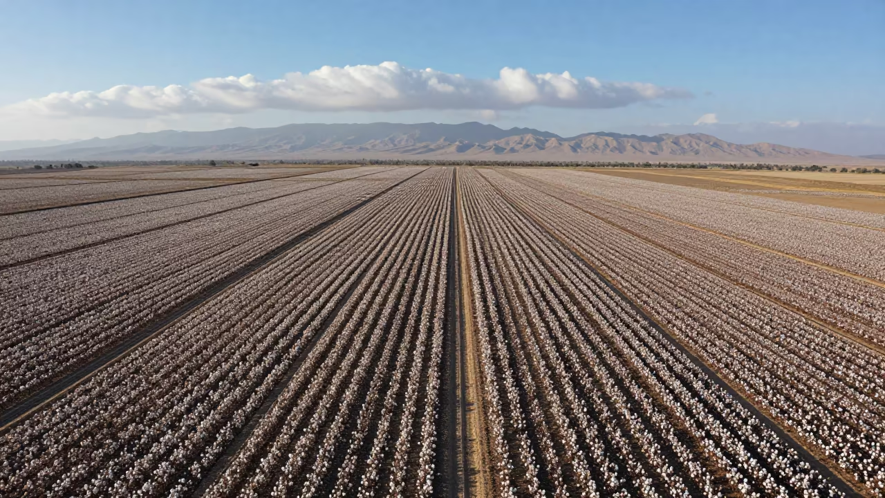
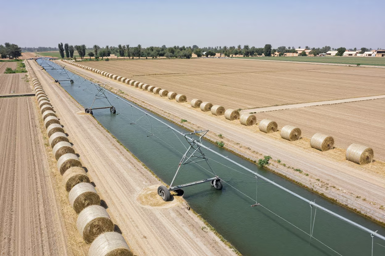
Aerial View of Cotton Fields Near Ramadi
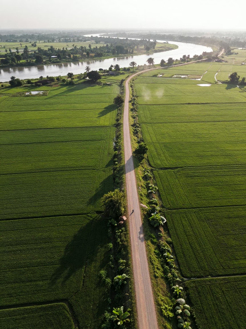
Dawn Aerial View of Singapore Country Lanes
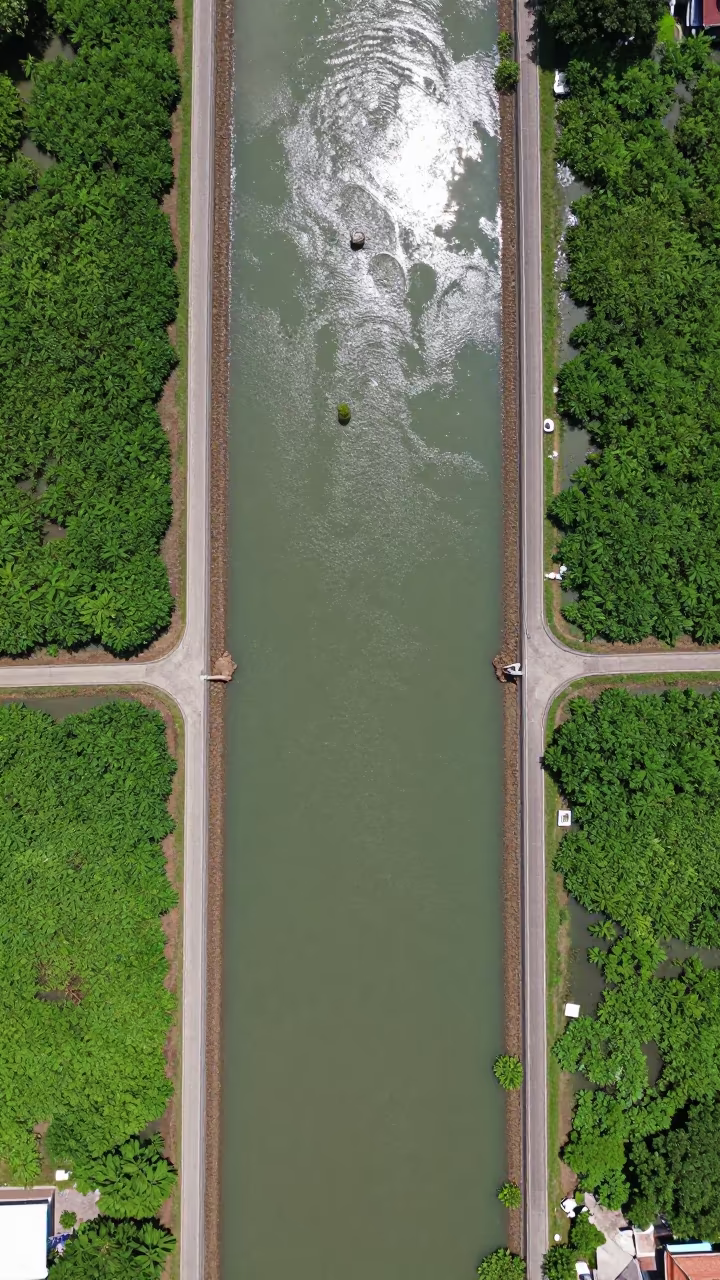
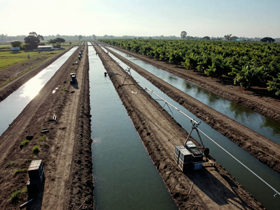
Aerial View of Irrigation Channels Near Bangkok
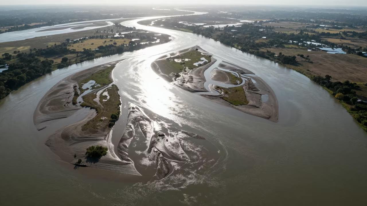
Aerial Lanes Over Braided Rivers Near Hpa An
Midnight Moonlit Farm Fields Kansas Autumn

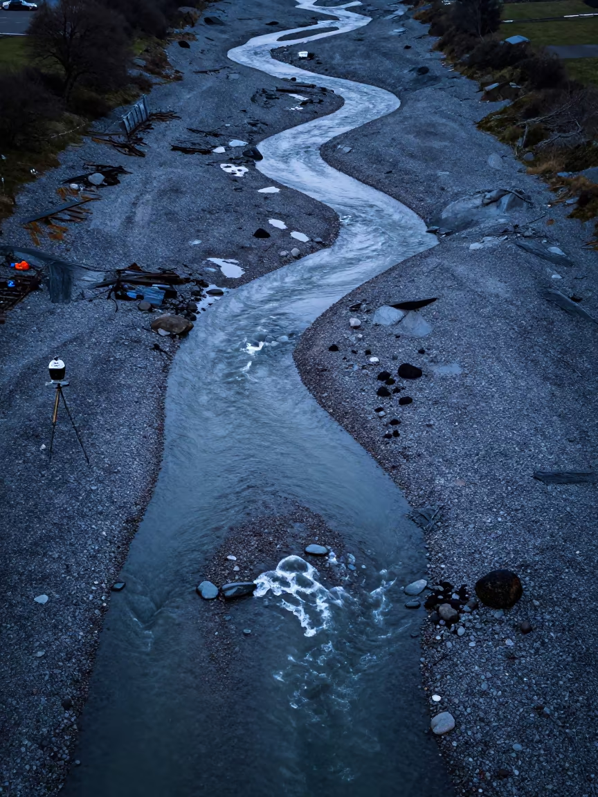
Rice Terraces Over Braided River Channels
Aerial View of Hubei Irrigation Fields at Dawn
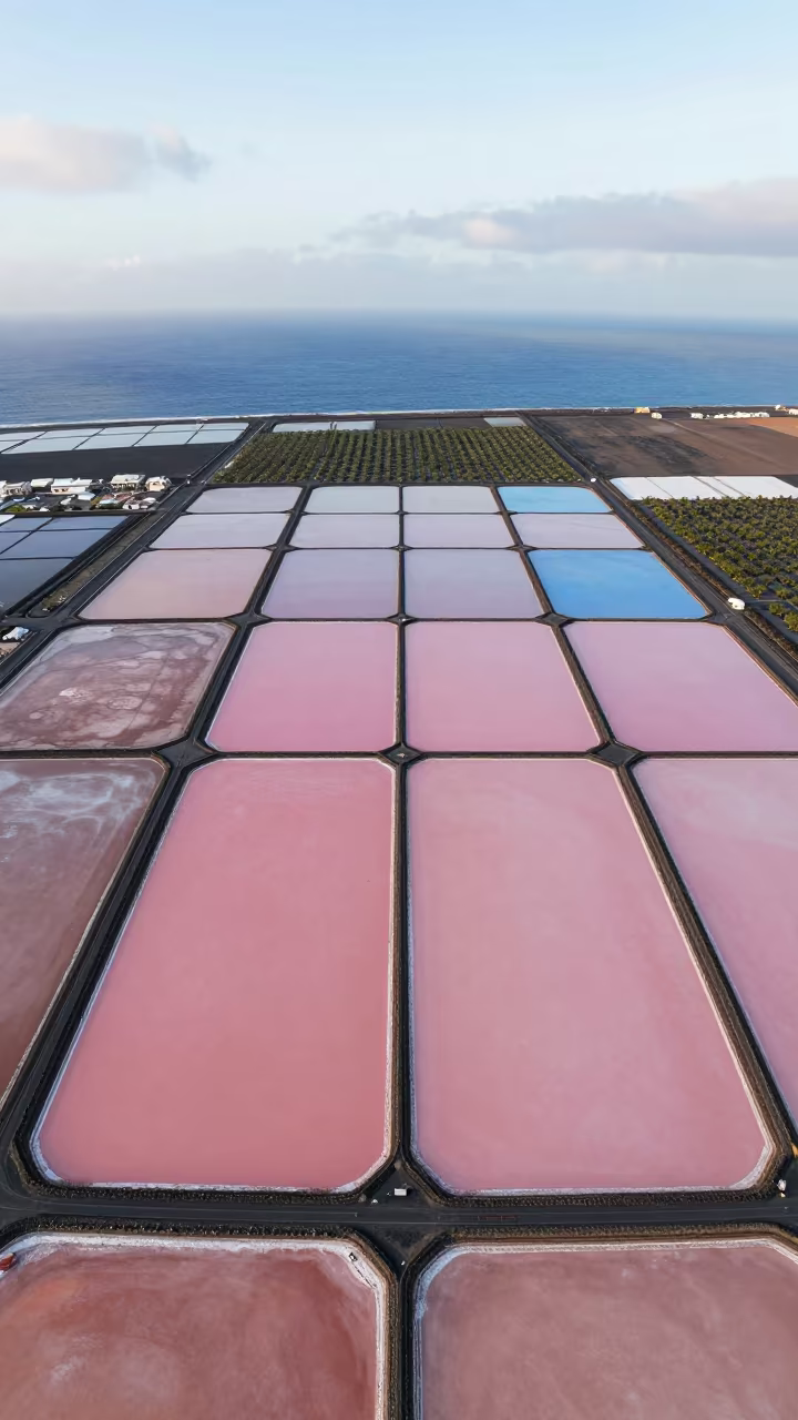
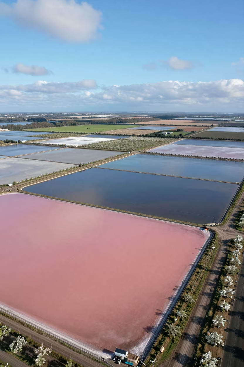
Pink and Blue Salt Ponds Aerial View
Kansas Farmland Patchwork Under Overcast Sky
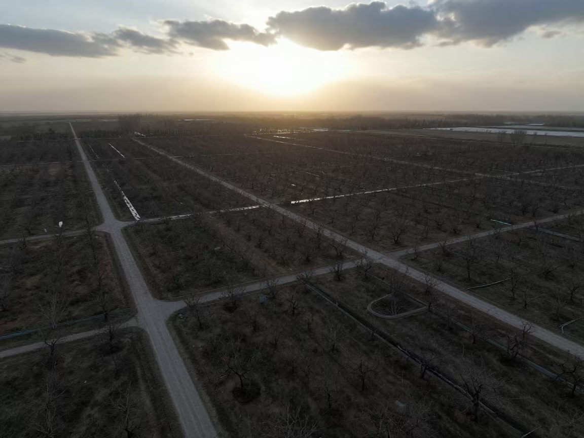
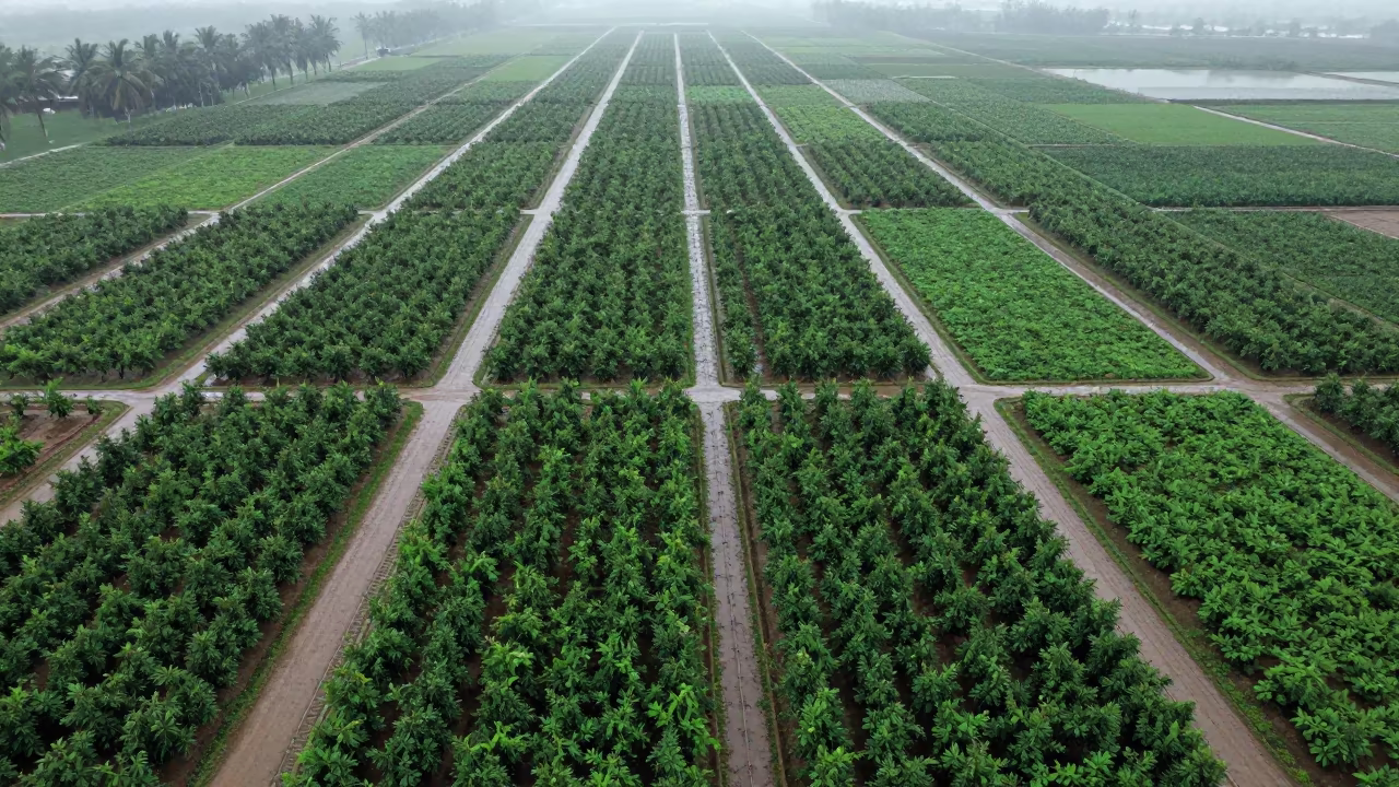
Aerial Orchard Grids Morning Haze Low Sun Bokhtar
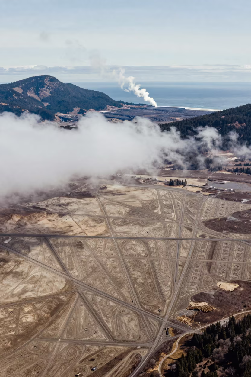
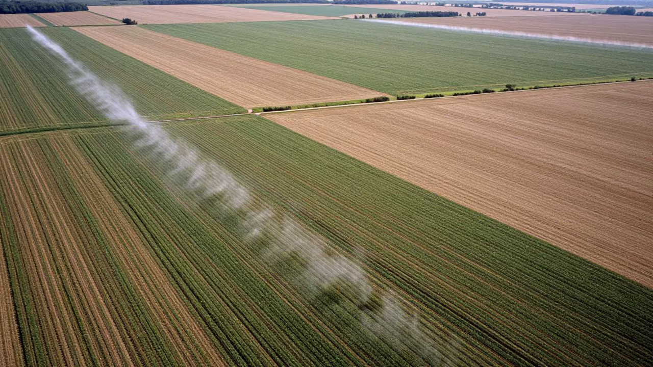
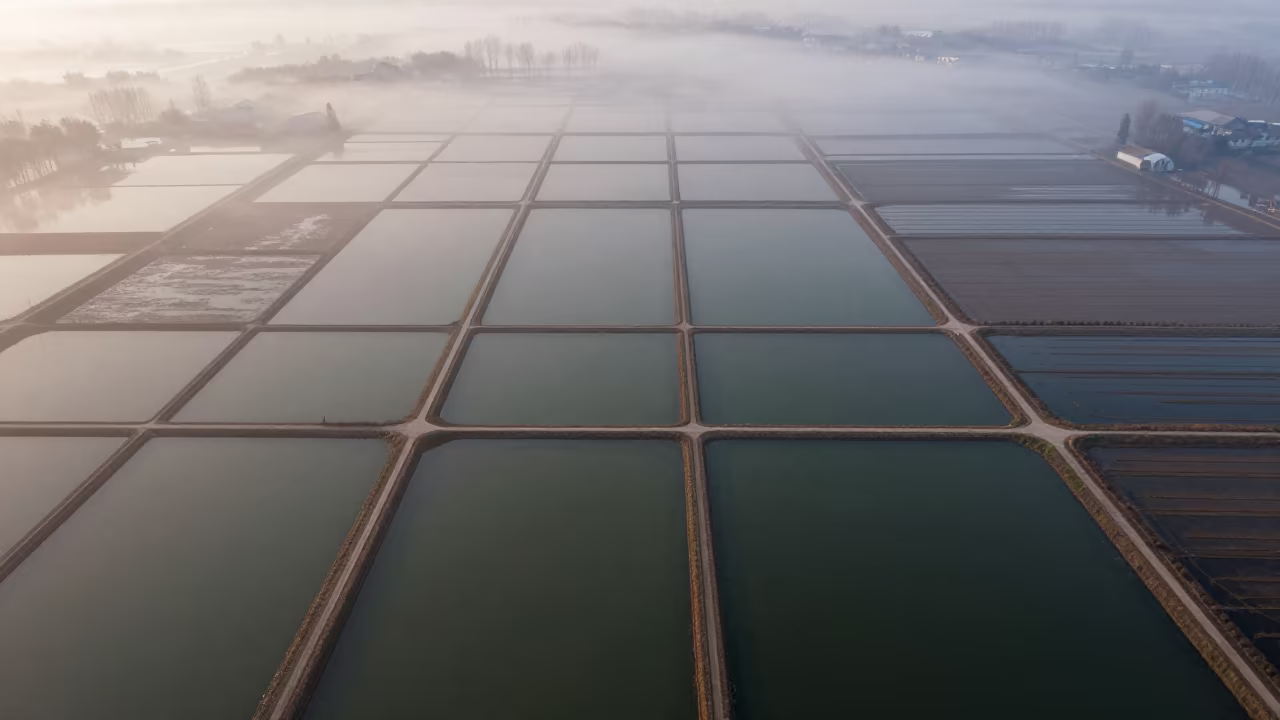
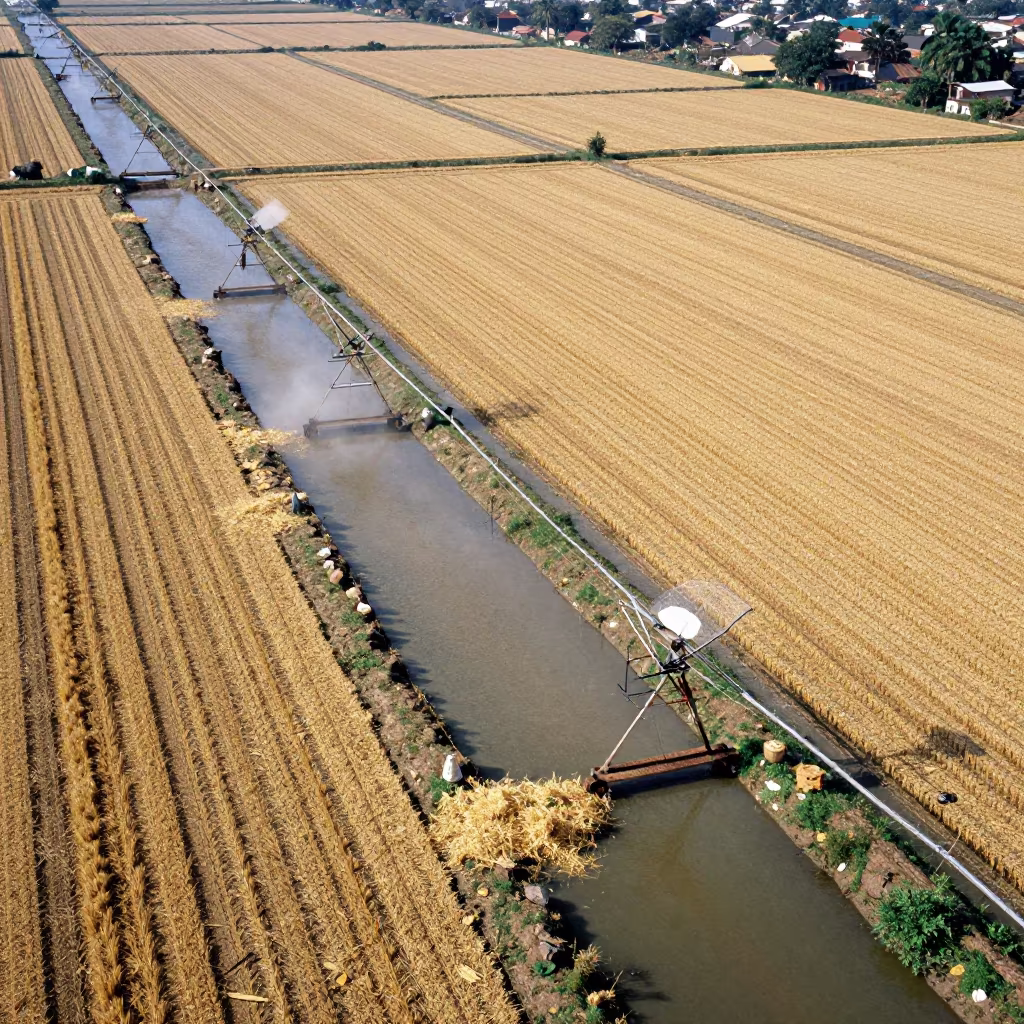
Aerial view of irrigation geometry and steam
Aerial Country Lanes Near Anyang Fields
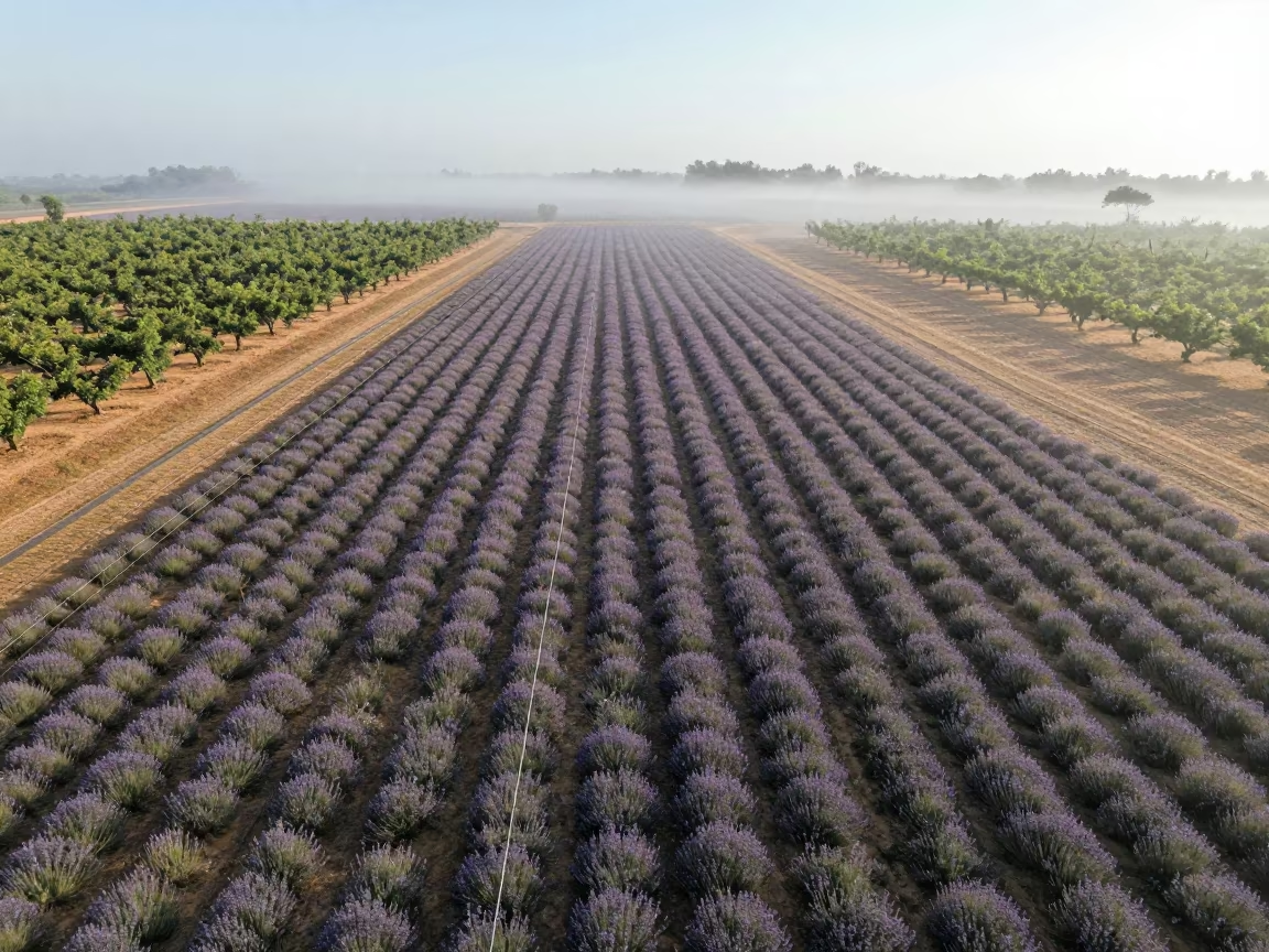
Aerial Lavender Fields Geometric Rows Mist
Irrigation Canals Silhouetted in Late Afternoon Light
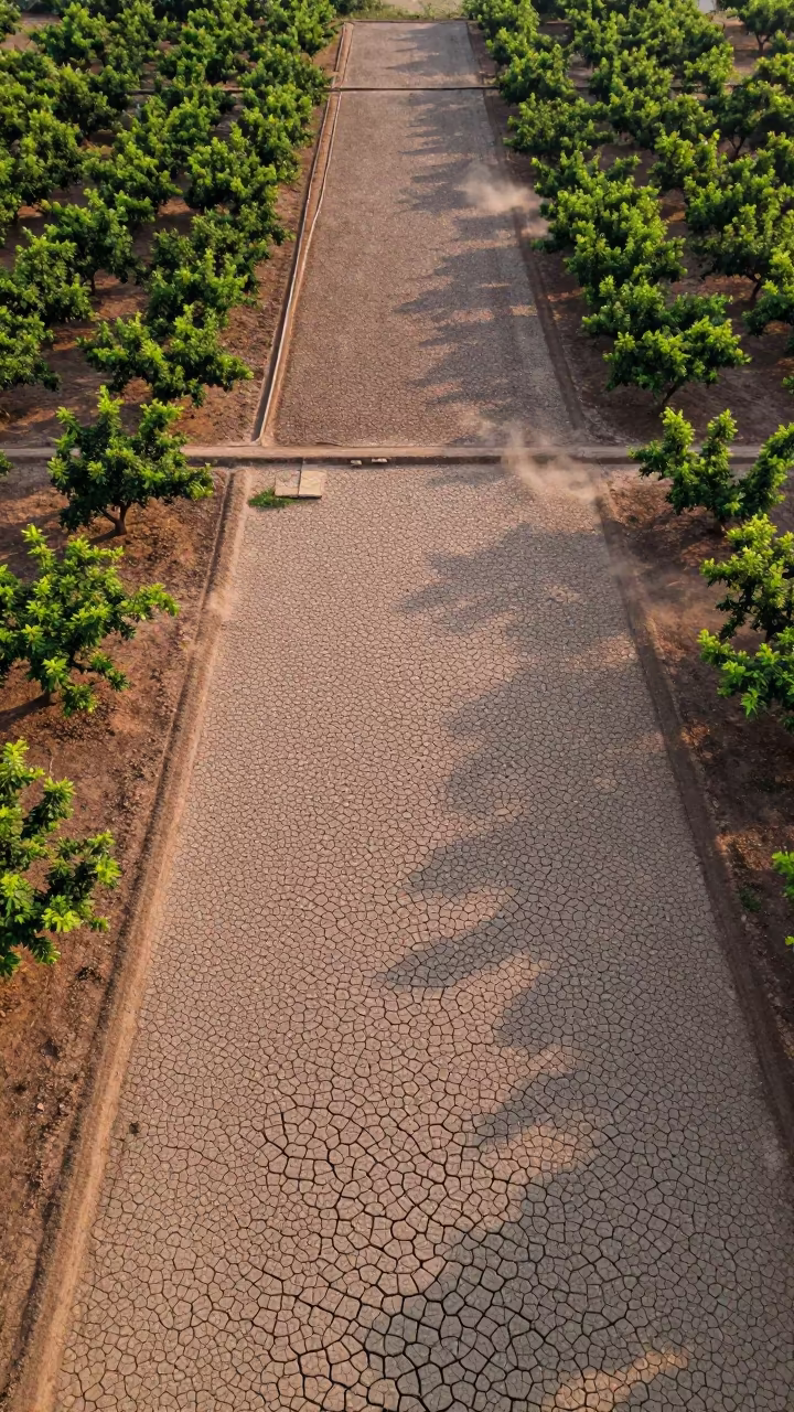
Cracked Mud Patterns Over Cambodian Orchards
Pink Blue Salt Ponds Aerial View England
Jade Lagoon Irrigation Geometry Aerial View
Aerial View of Irrigation Canals in Jashore
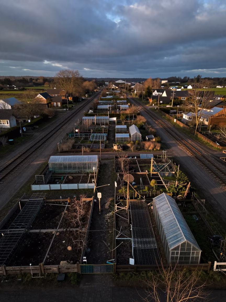
Aerial View of Georgia Allotments at Blue Hour
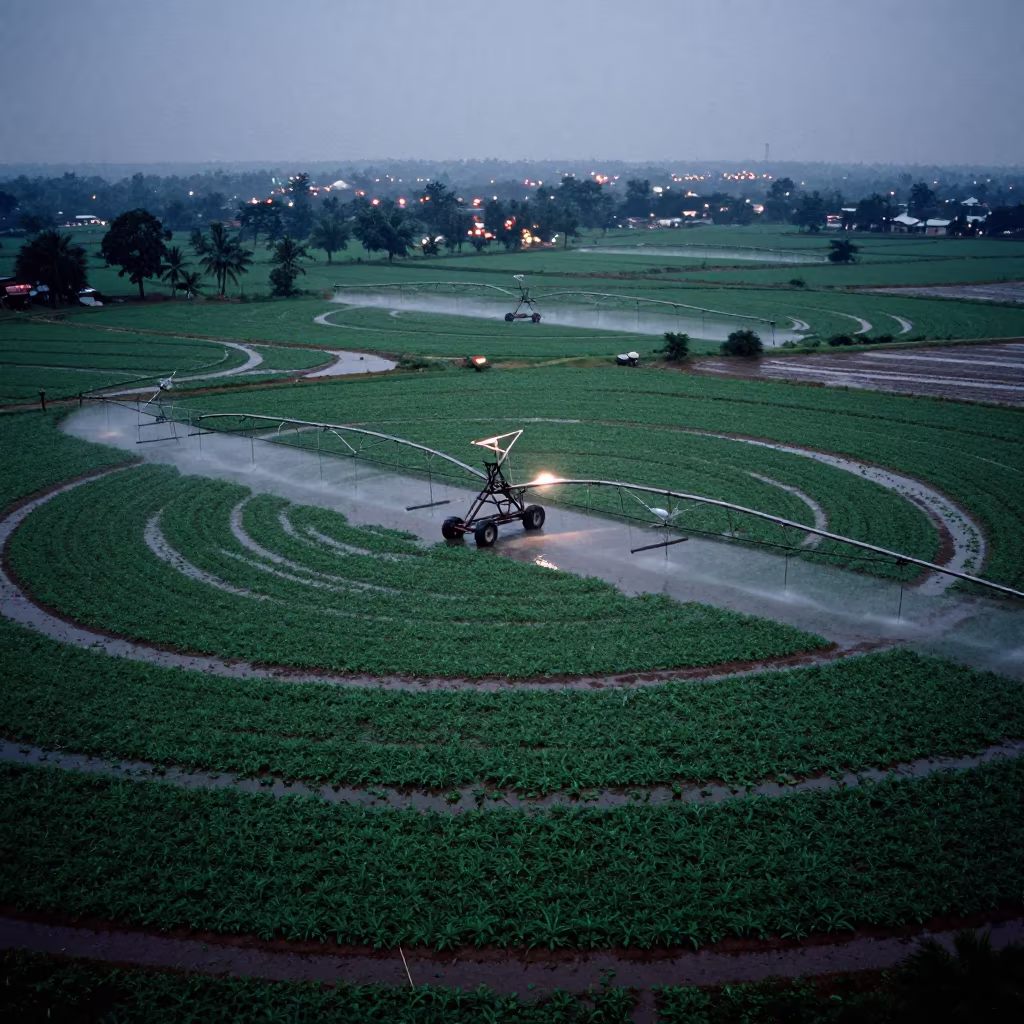
Circular Irrigation Patterns Karnataka Rainy Season
Aerial View of Irrigation Canals in Iran
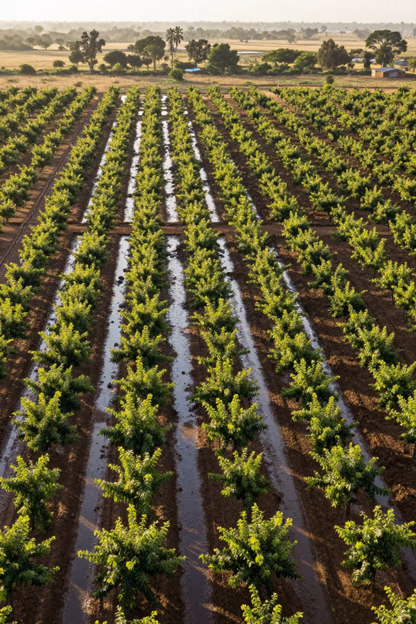
Aerial Orchard Grids at Dutse Dawn
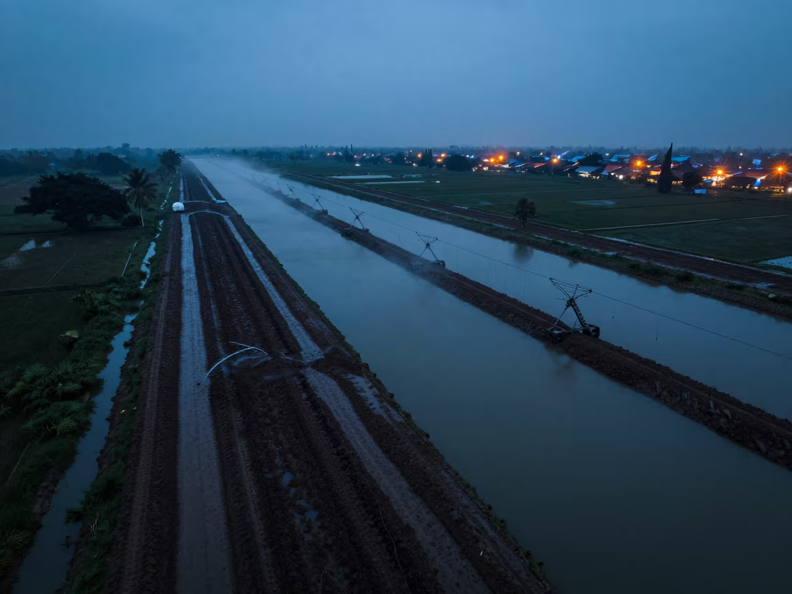
Surabaya Irrigation Canals Blue Hour Drone View
Aerial Wetland Channels Near Jalalabad
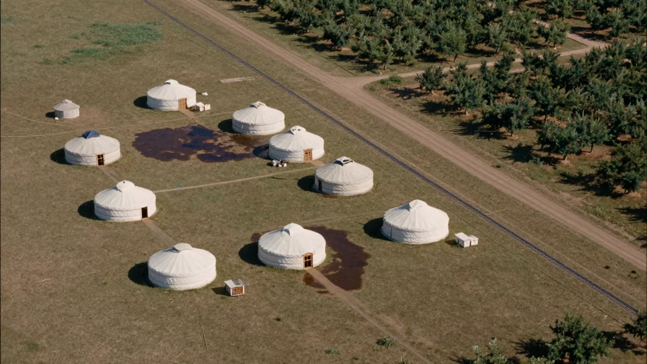
Aerial View of Nomadic Yurts on Grassland
Aerial River Delta Braided Channels Cabimas
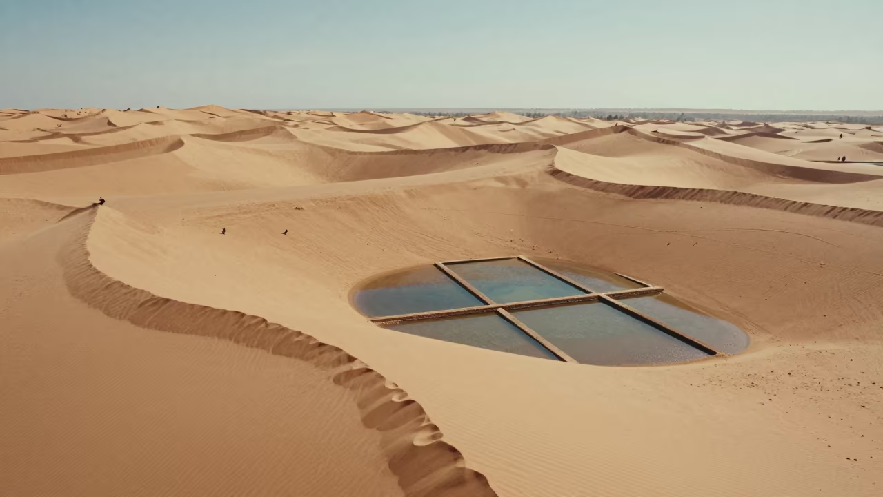
Aerial Morocco Sand Dunes Noon Shadows
Aerial Limestone Karst Irrigation Geometry Kismayo
Comments