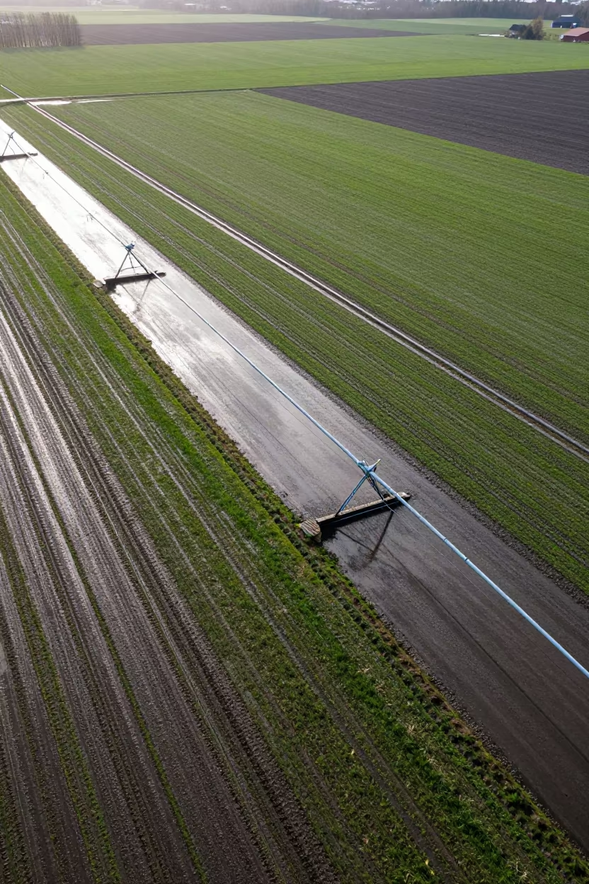
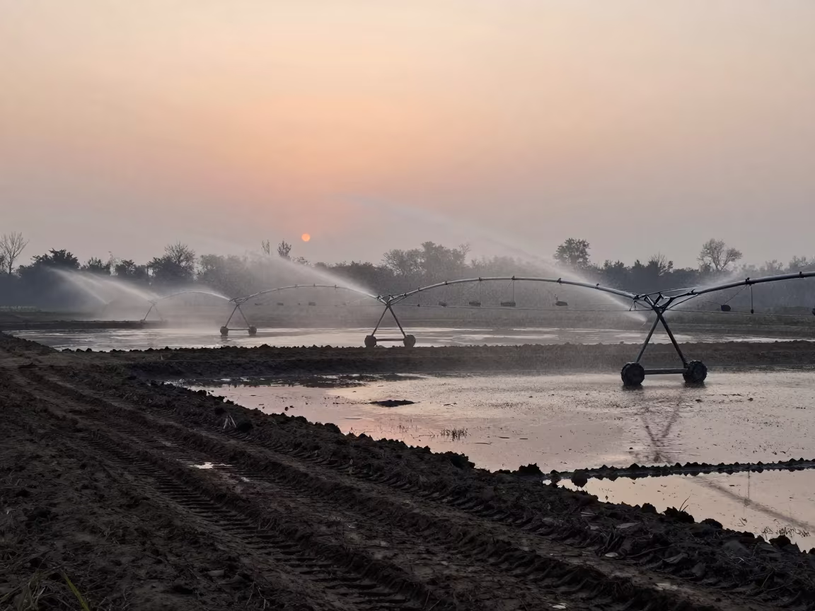
Aerial View of Swedish Irrigation After Rain
Bright midday light reflects off wet soil in a grid of irrigation channels stretching across the Swedish landscape. The thawed earth shows dark brown textures where water has pooled in shallow trenches, contrasting with patches of emerging green grass. Puddles mirror the pale sky, creating sharp geometric lines that define the agricultural geometry. Humid air hangs over the fields, softening the edges of the furrows without obscuring their precision. The wide panoramic view shows the scale of human intervention in the natural terrain, where straight metal pipes and dug earth form a rhythmic pattern. One reflection in a shallow puddle shows the underside of a cloud moving slowly overhead.
Free to download. CDN hosting requires a link back to this page. Terms
Similar Images
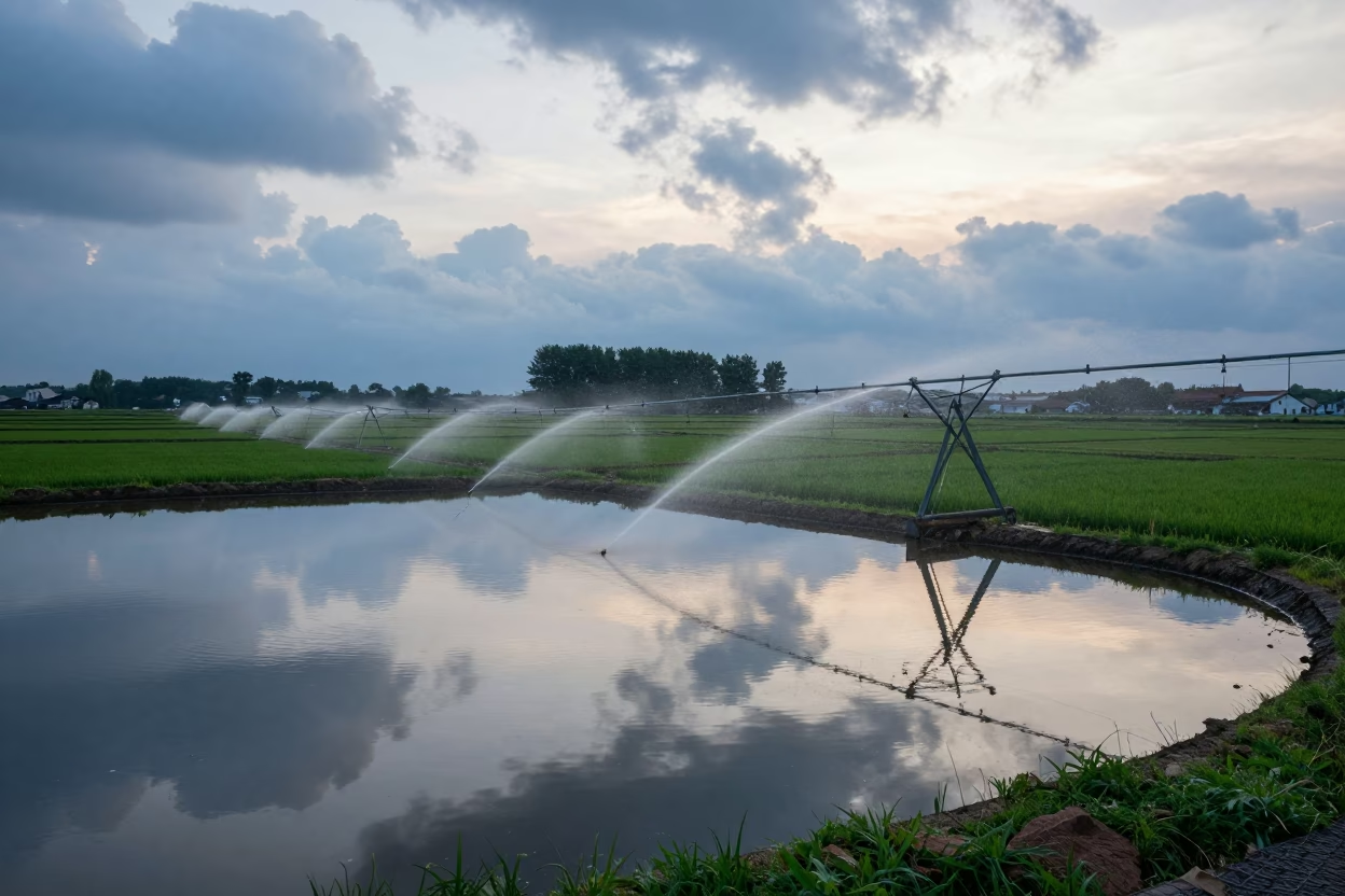
Irrigation Sprinklers Reflecting in Twilight Farm Pond
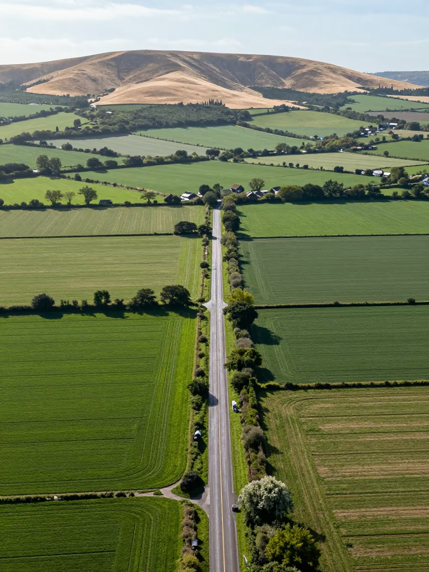
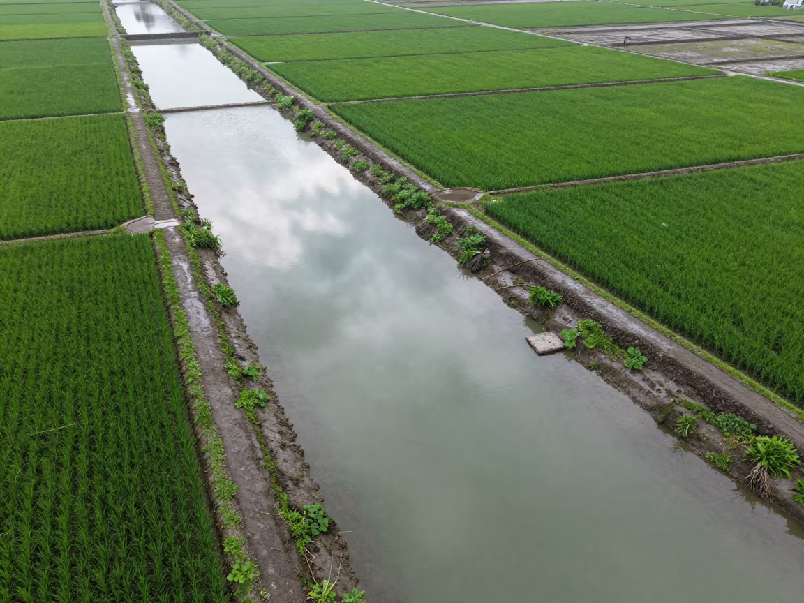
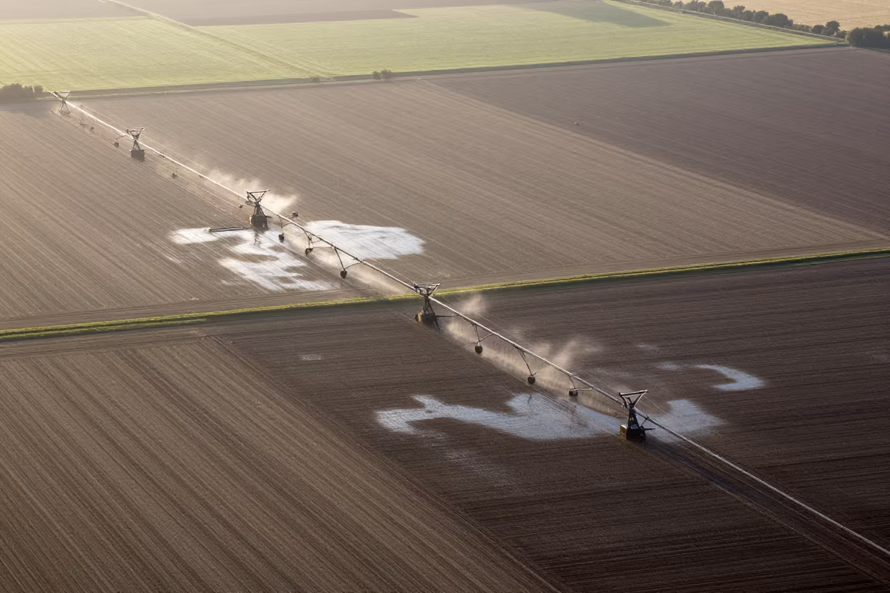
Aerial View of Country Lanes and Irrigation Fields
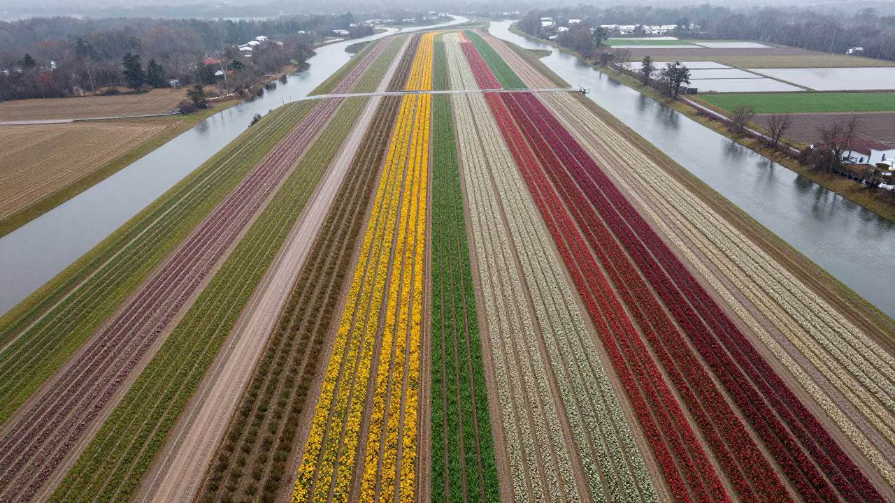
Aerial View of Maryland Flower Fields After Rain
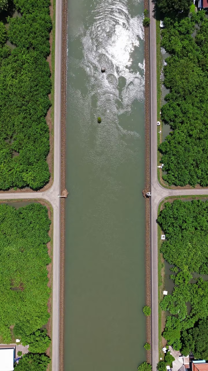
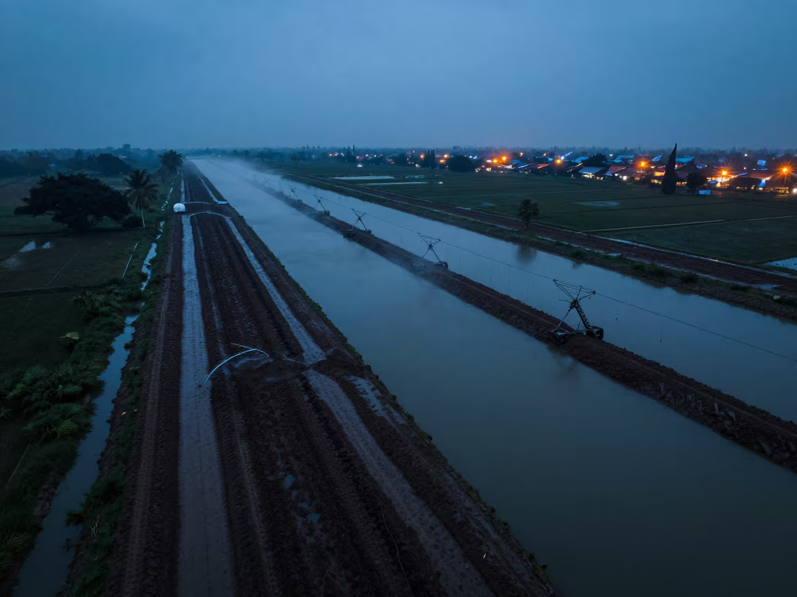
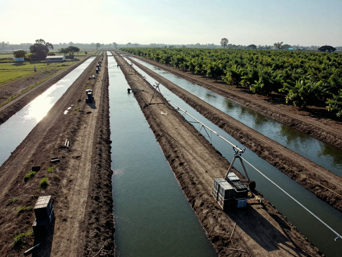
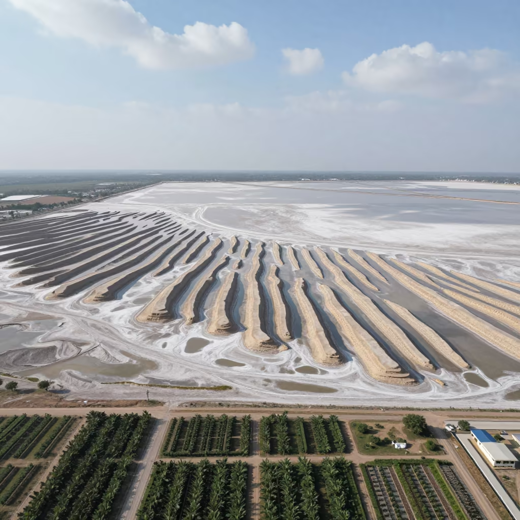
Aerial View of Irrigation Channels Near Bangkok
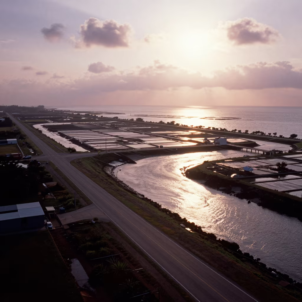
Aerial View of Taiwan Irrigation Canals at Low Tide
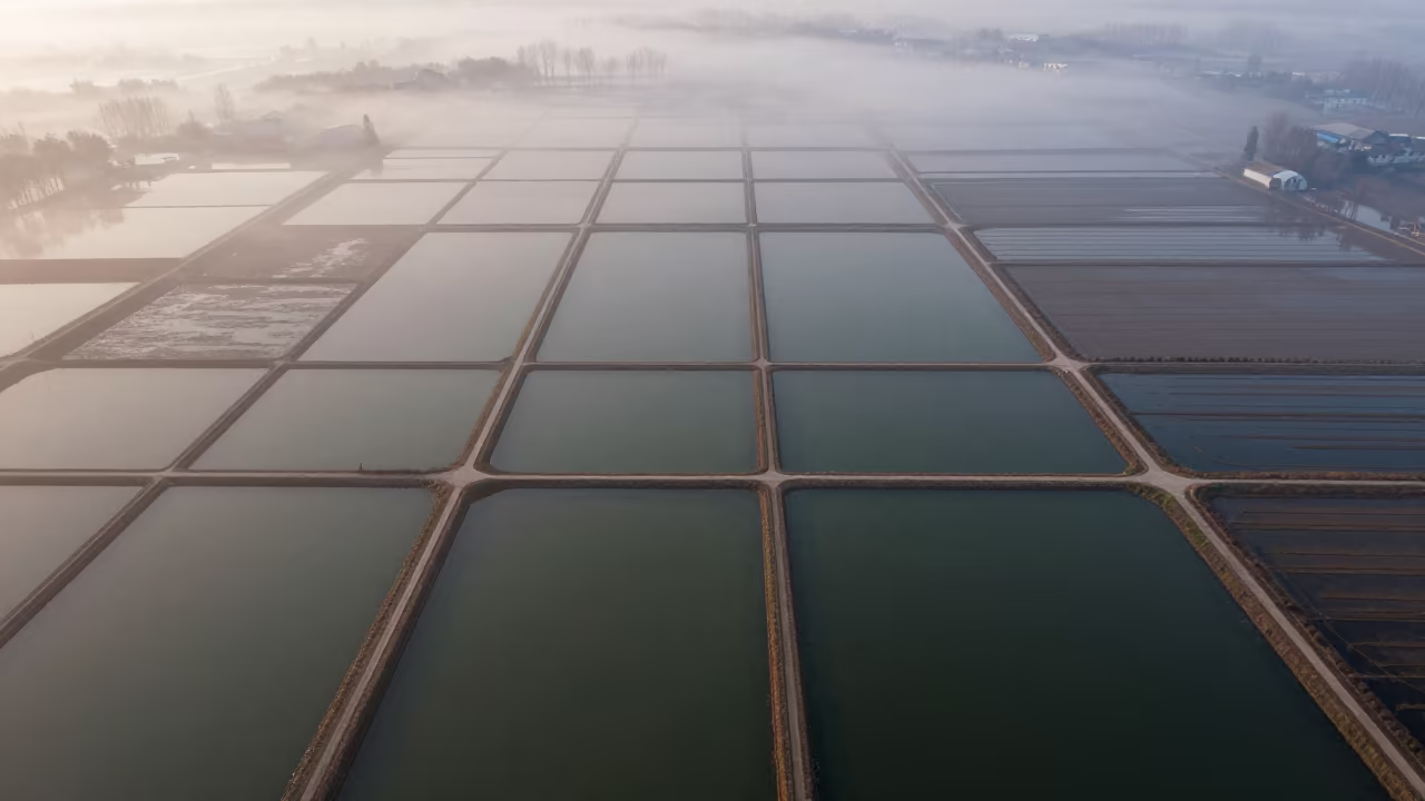
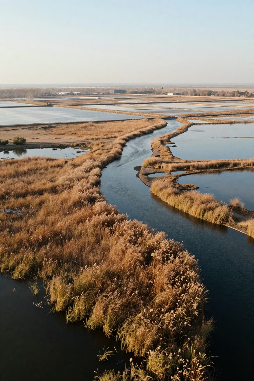
Aerial View of Hubei Irrigation Fields at Dawn
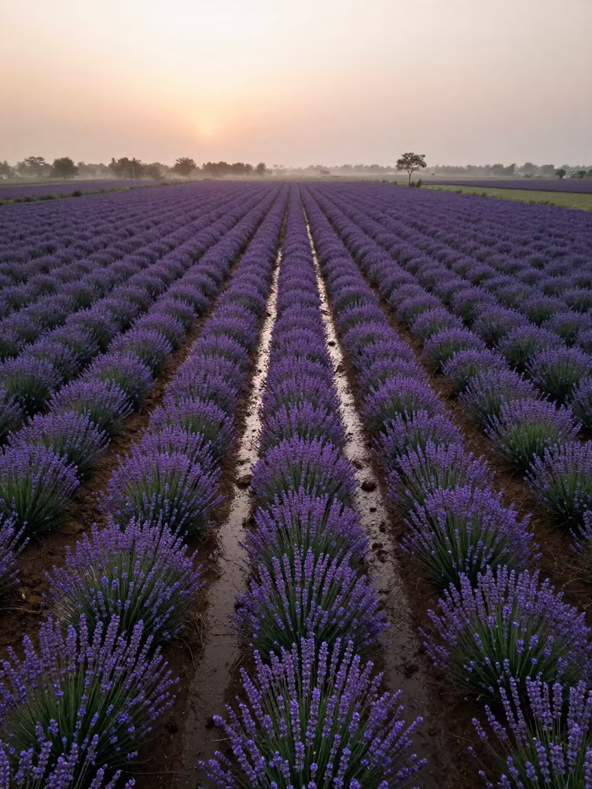
Aerial Lavender Fields India Rainy Season
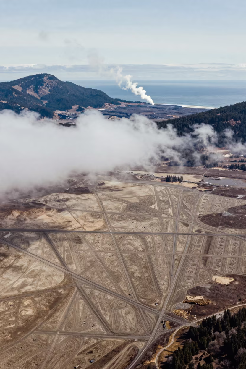
Aerial view of irrigation geometry and steam
Aerial View of Irrigation Patterns Near Chelmsford
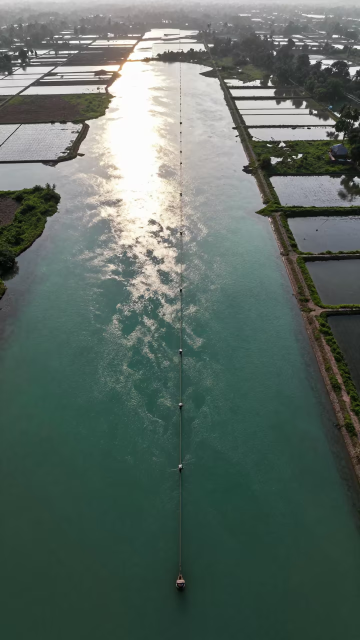
Surabaya Irrigation Canals Blue Hour Drone View
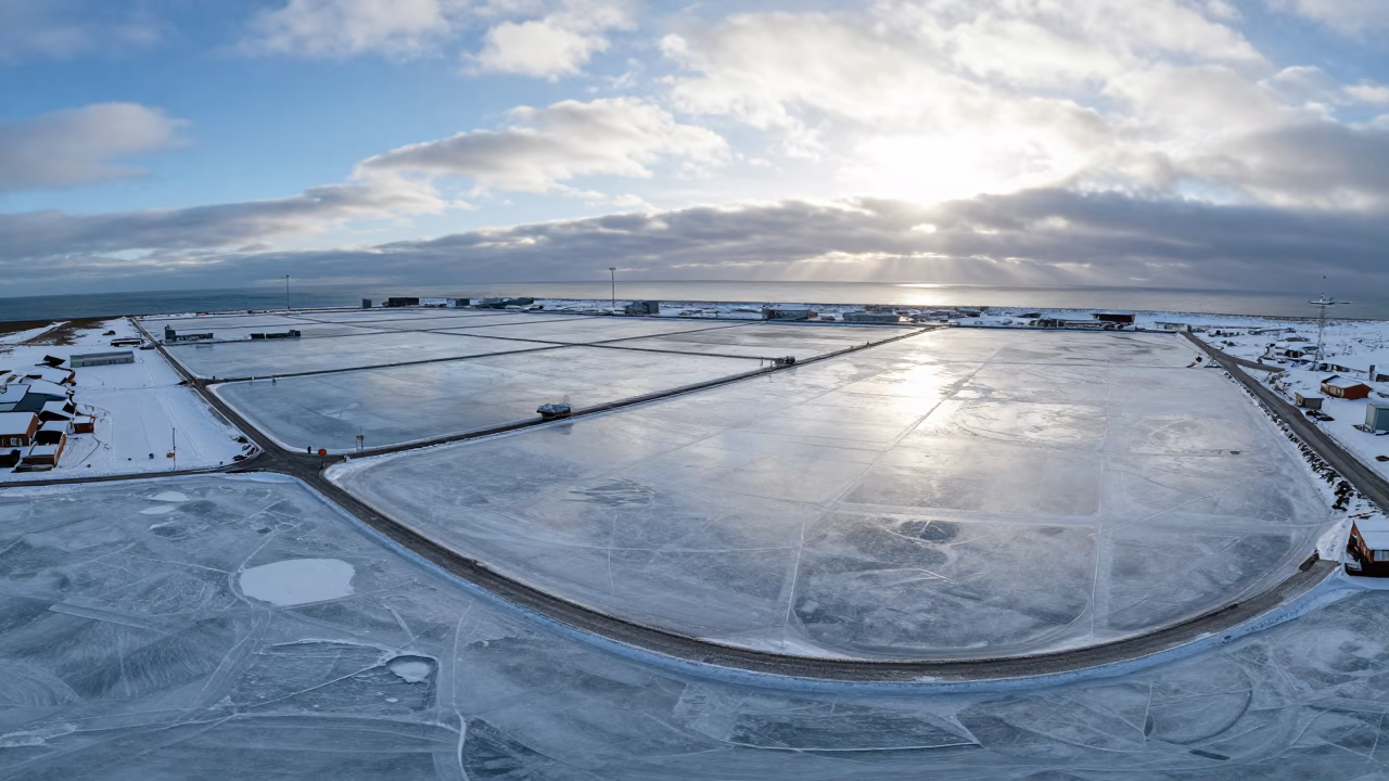
Aerial Winter Harbor Ice Sweden Dawn
Aerial Wetland Channels Near Jalalabad
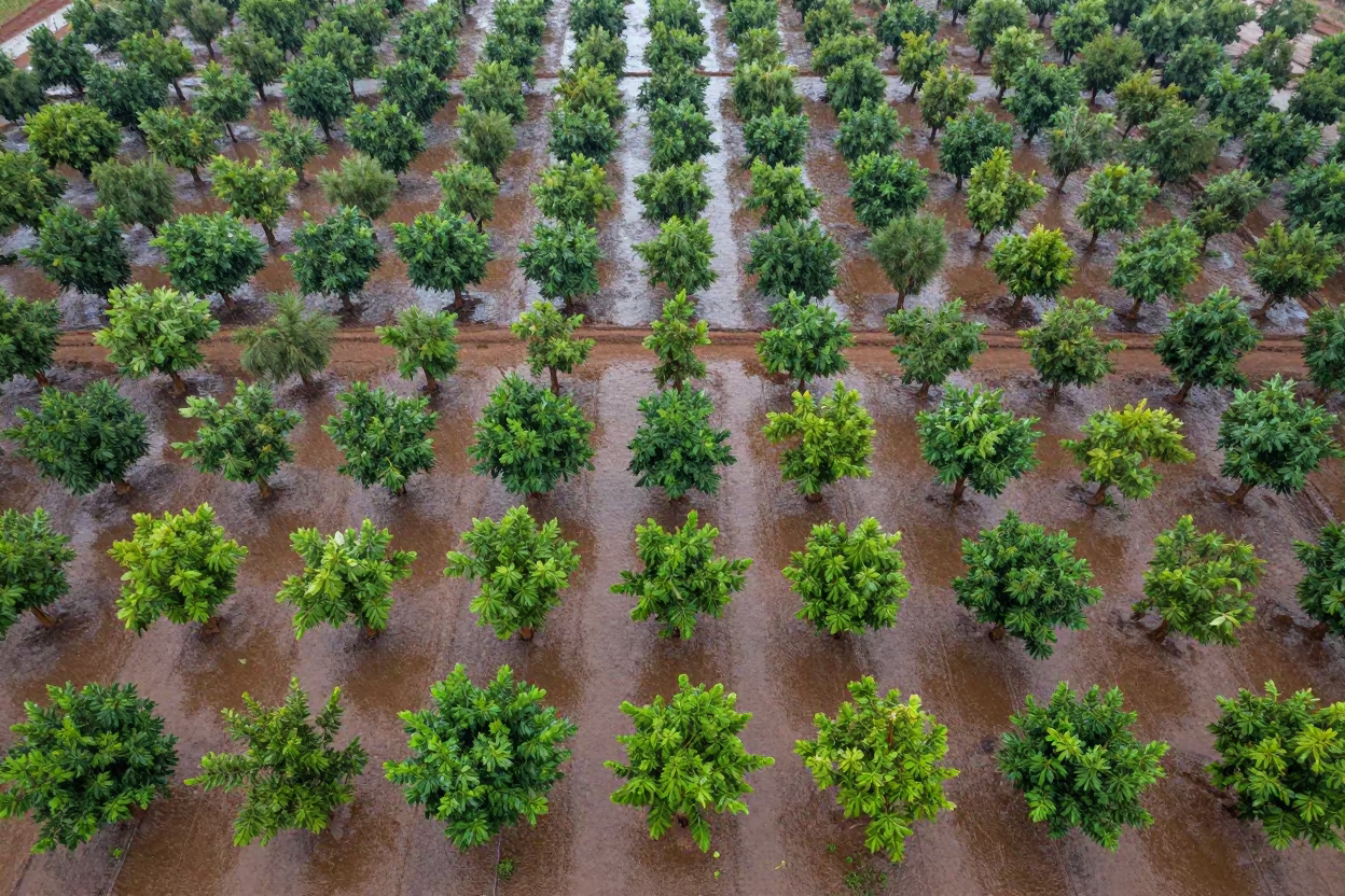
Aerial View of Mali Orchards in Rainy Season
Jade Lagoon Irrigation Geometry Aerial View
Aerial Tidal Creeks San Luis Haze
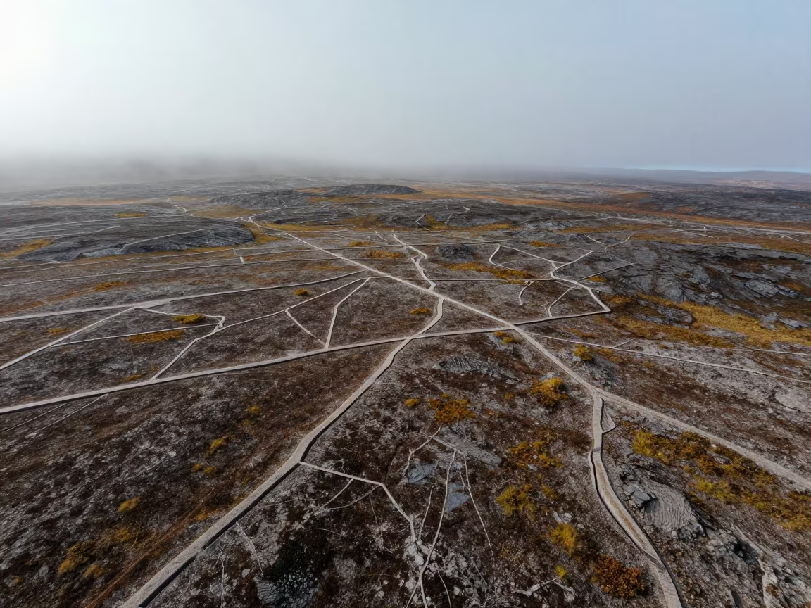
Aerial view of ice wedge polygons in Swedish tundra
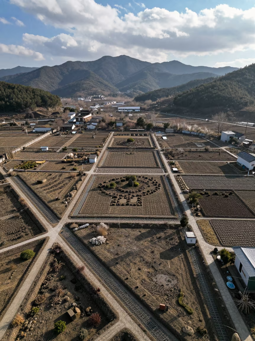
Aerial Winter Garden Irrigation Patterns Zhejiang
Aerial View of Winter Rice Paddies Near Zaragoza
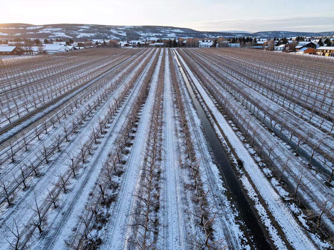
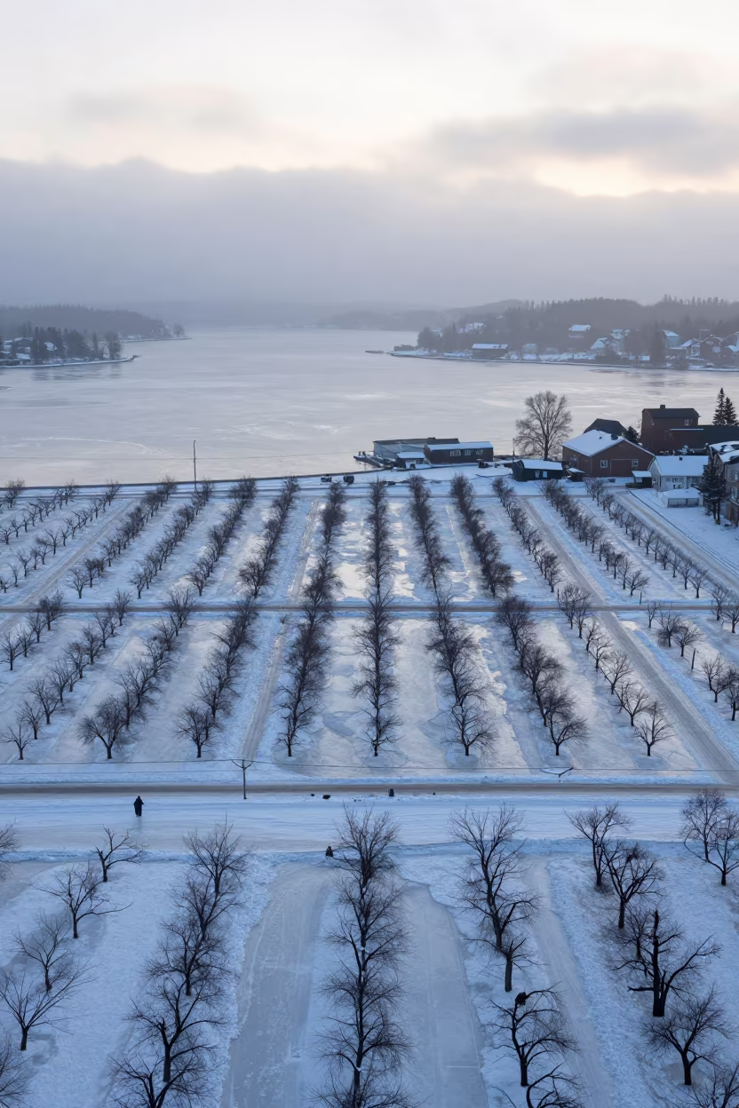
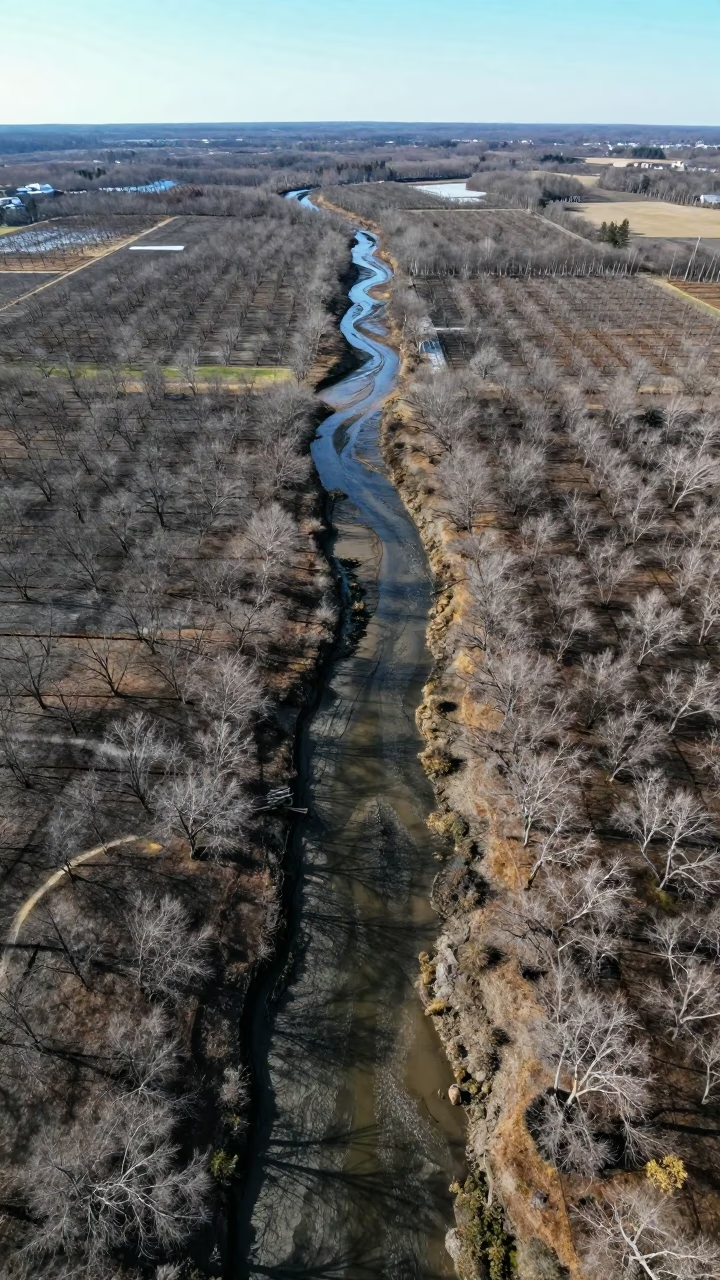
Winter orchard rows striped by snow and irrigation water
Aerial Orchard Grids at Dutse Dawn
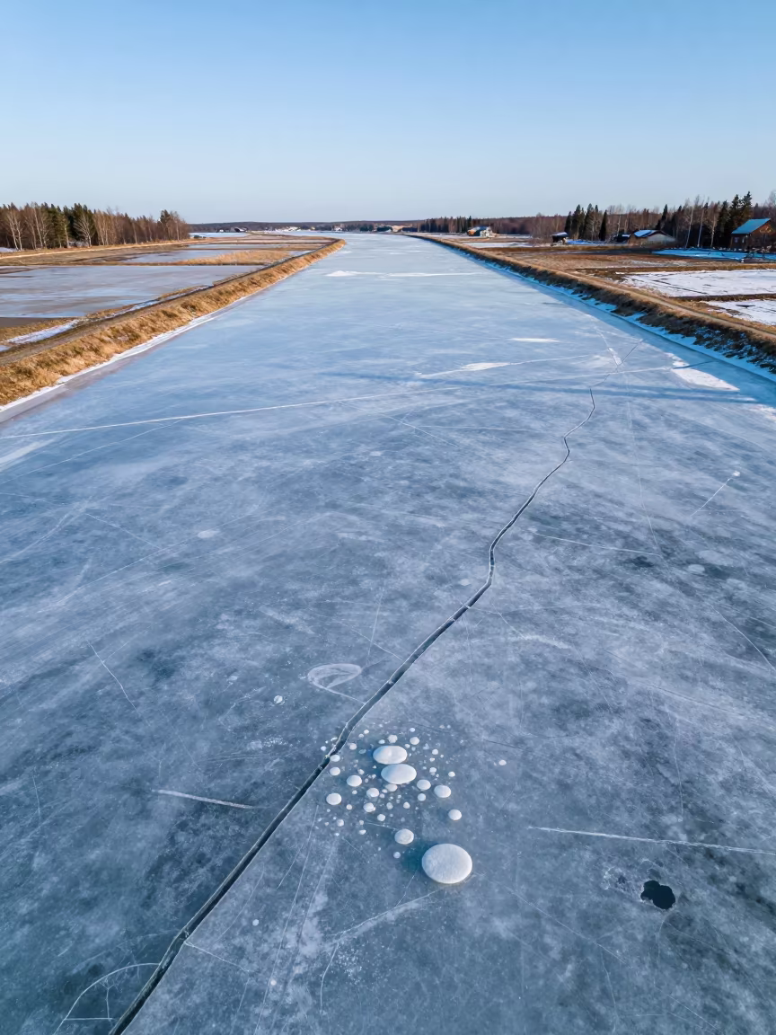
Frozen River Cracks Bubbles Aerial Salt Ponds Sweden
Irrigation Canals Silhouetted in Late Afternoon Light
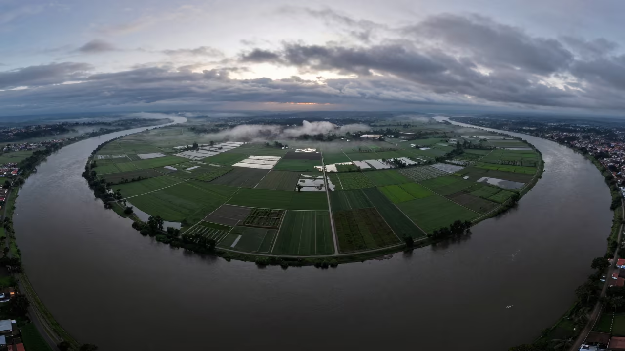
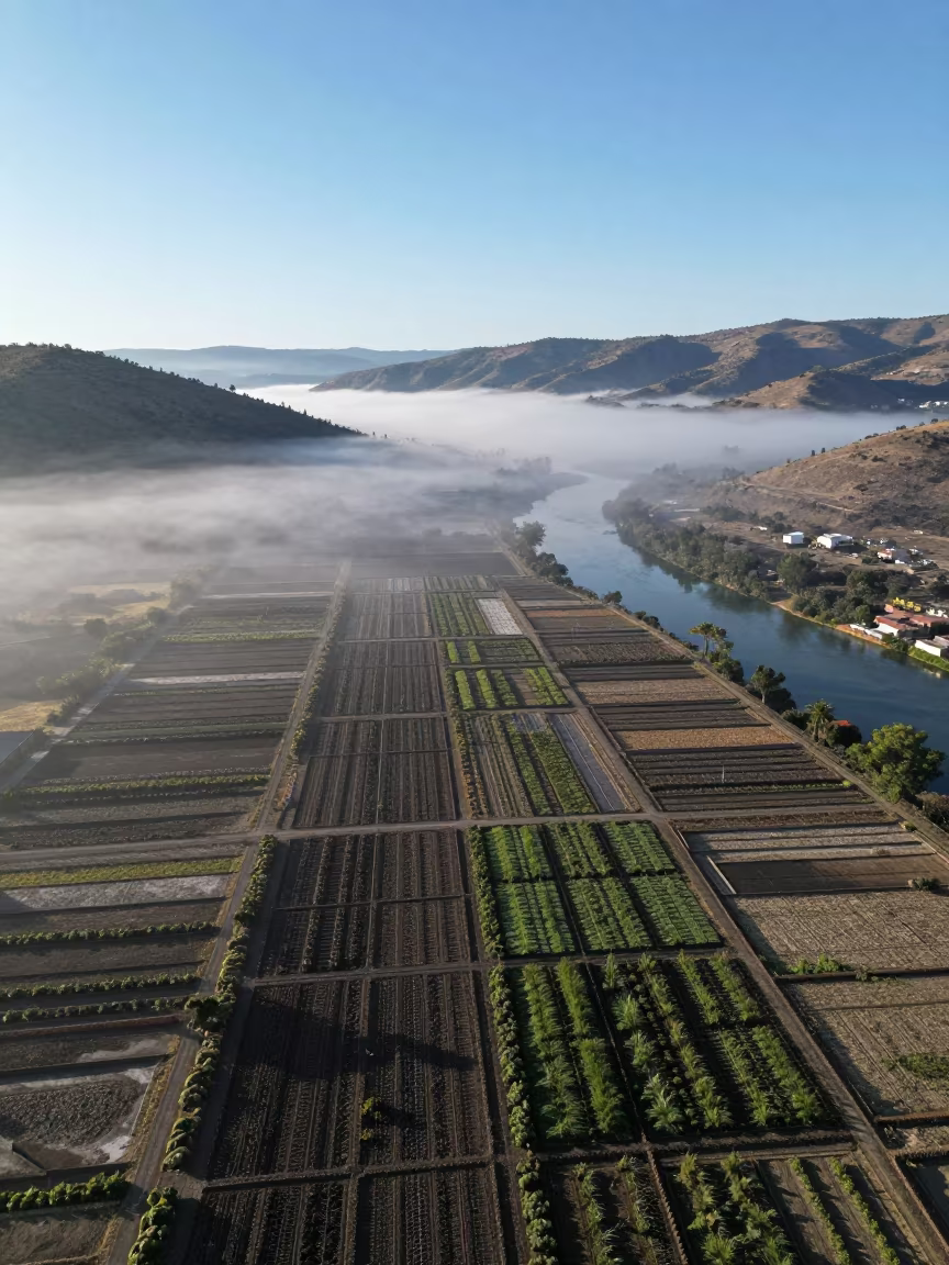
Aerial River Delta at Dawn Near Cajamarca
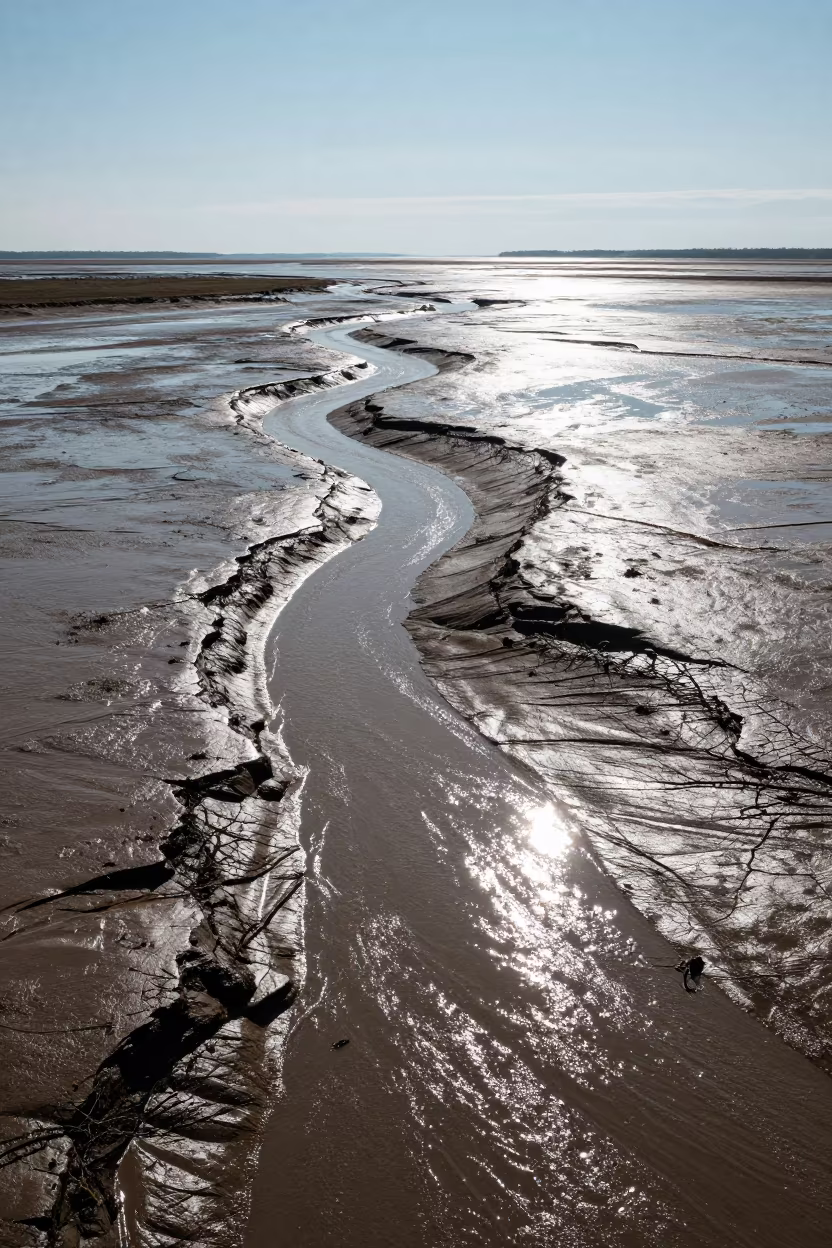
Aerial Maine Tidal Creeks Early Winter Drainage Lines

Aerial View Glacial Moraine Striped Debris
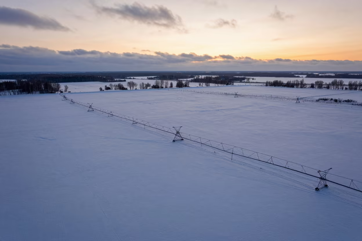
Aerial Winter Sunset Over Russian Irrigation Fields
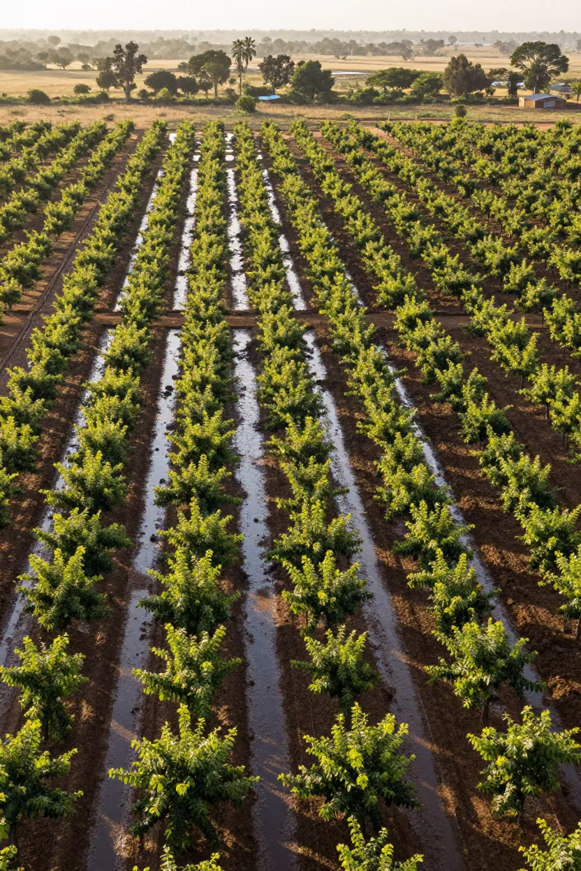
Aerial autumn forest sunset irrigation geometry Arua
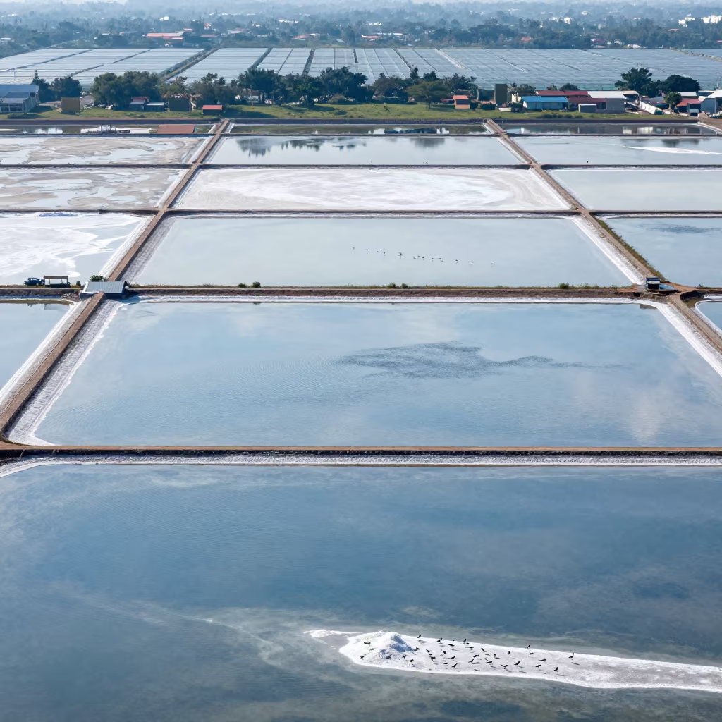
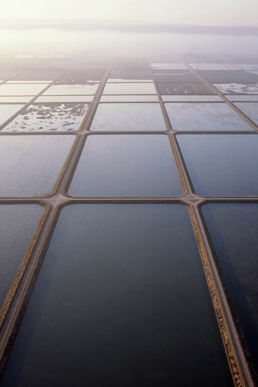
Aerial Salt Ponds Greenhouse District 3

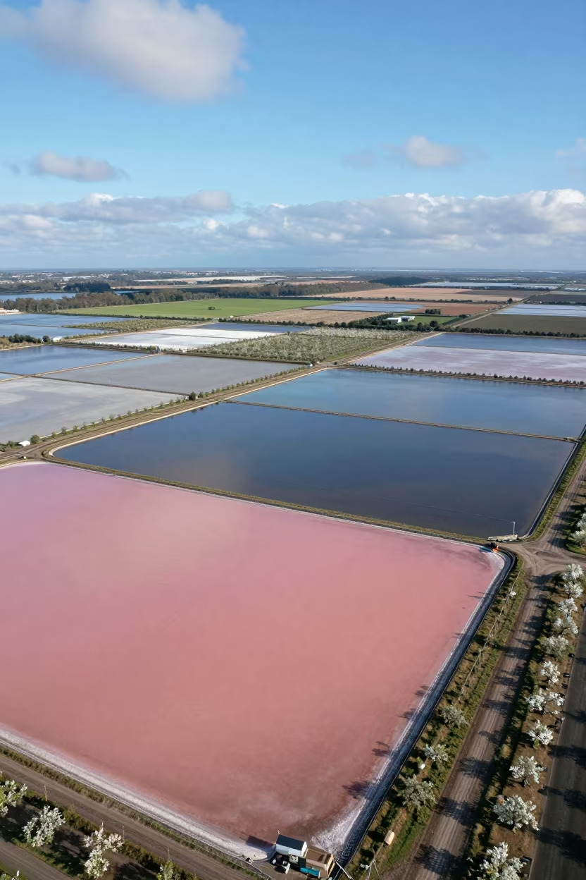
Aerial View of Pink Salt Ponds Near Quezon City
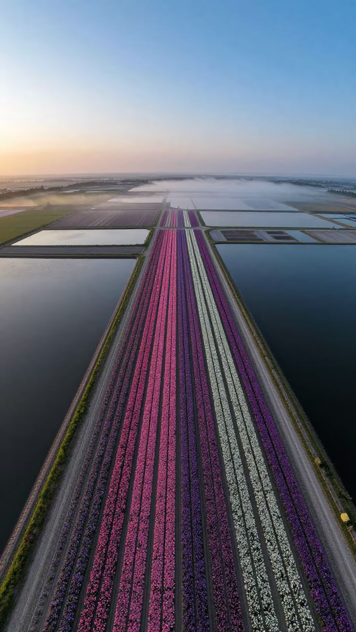
Aerial Flower Bands Over Salt Ponds at Blue Hour
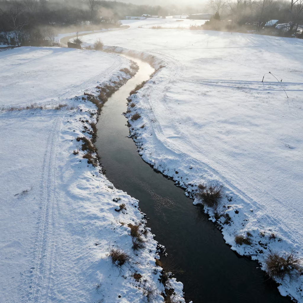
Aerial Creek Winding Through Snowy Meadow
Pink Blue Salt Ponds Aerial View England
Silhouetted Irrigation Sprinklers Reflecting in Farm Pond at Dusk
Aerial Winter Harbor Ice Iceland Salt Ponds
Aerial view of rain-soaked allotment plots near Guadalajara

Rice Terraces Over Braided River Channels
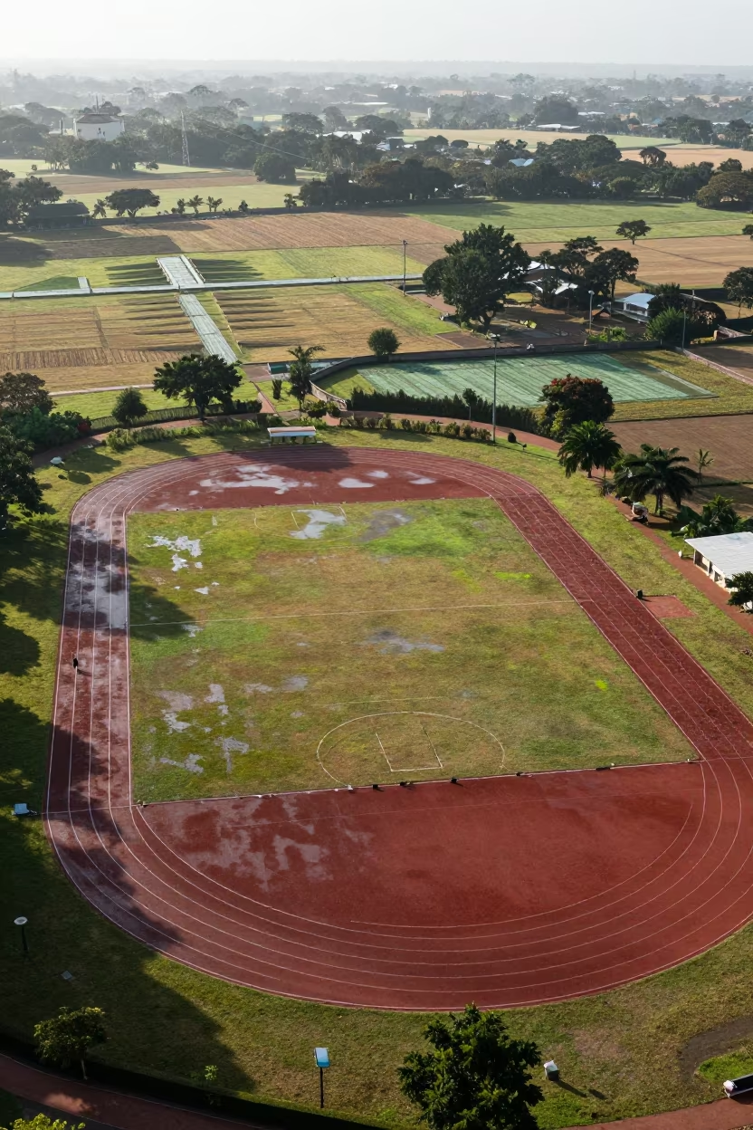
Aerial View of Zimbabwe Sports Complex Tracks
Aerial Tidal Creeks Austria Winter Mud Veins Noon
Comments