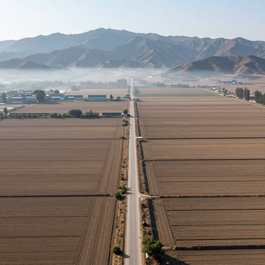
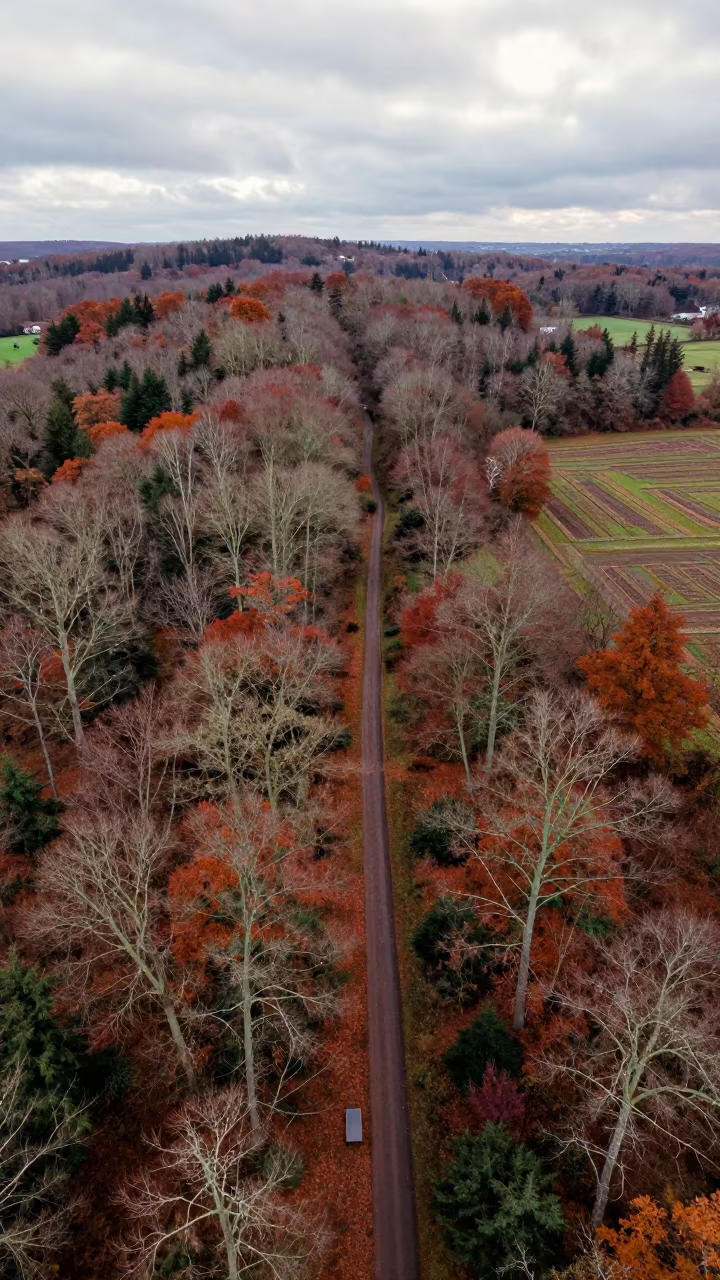
Aerial Country Lanes Near Anyang Fields
Clear dry mountain light illuminates a patchwork of fields and a network of narrow country lanes cutting through the landscape near Anyang. A light fog hovers just above the ground, softening the edges where the earth meets the sky. The view reveals geometric patterns of green and brown crops arranged in precise blocks. Tiny rooftops cluster in the distance, their muted tones blending with the surrounding terrain. The roads form dark, winding lines that contrast against the lighter vegetation. Shadows remain short and sharp under the midday sun. At the bottom edge, a single stone marker stands isolated in a corner of a field.
0
6 views
Free to download. CDN hosting requires a link back to this page. Terms
Similar Images

Aerial View of Corn and Soybean Fields in Anand
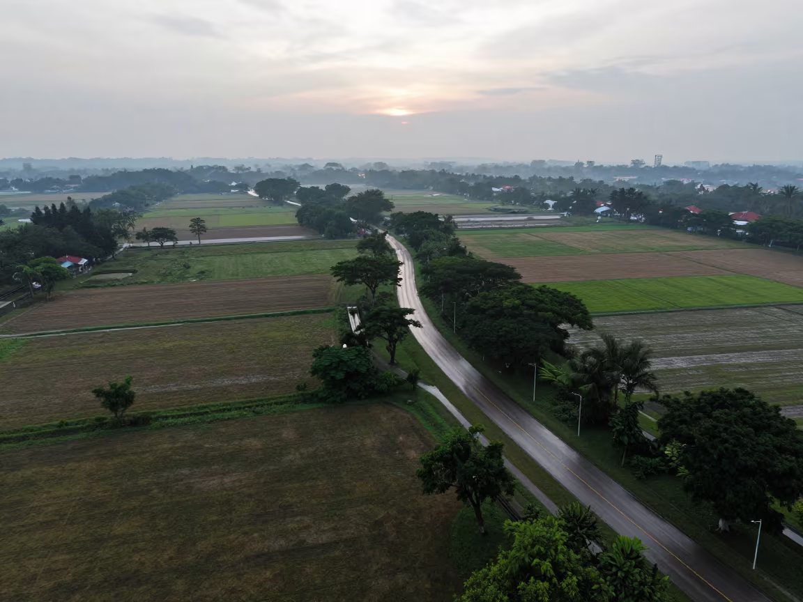
Dawn Aerial View of Singapore Country Lanes
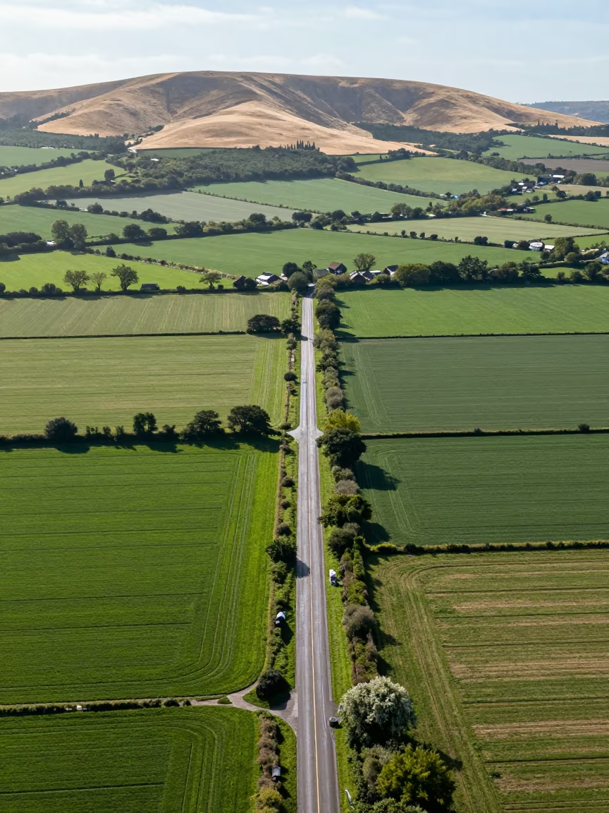
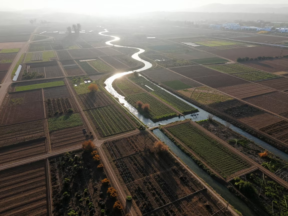
Aerial View of Country Lanes and Irrigation Fields
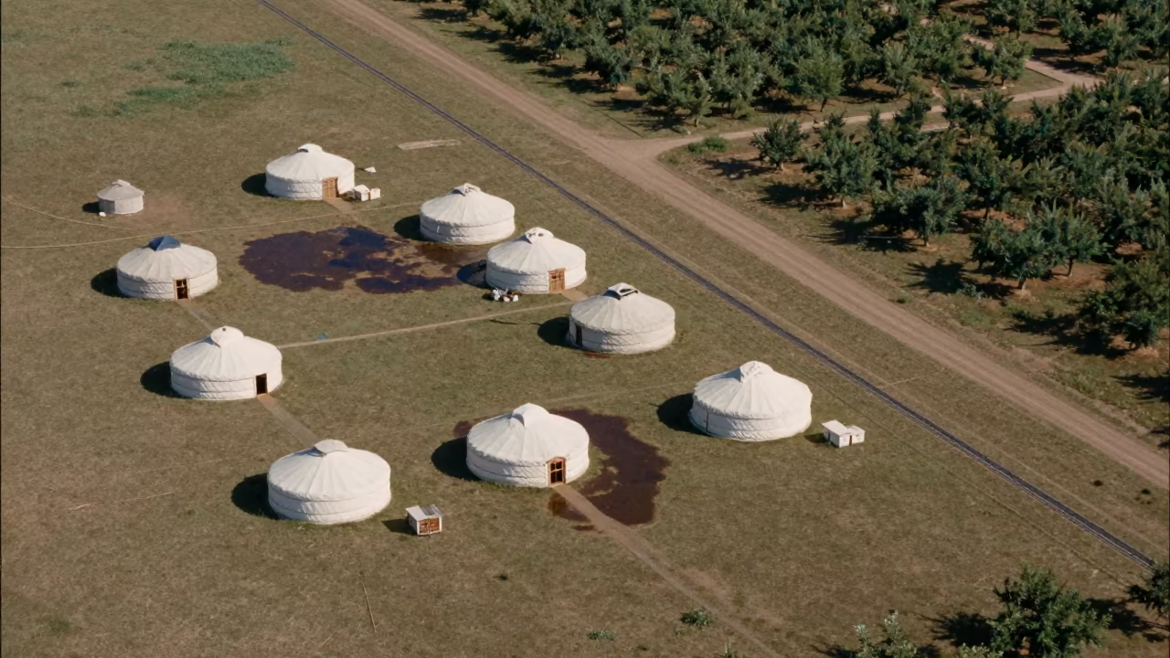
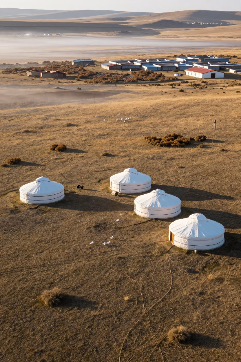
Aerial View of Nomadic Yurts on Grassland
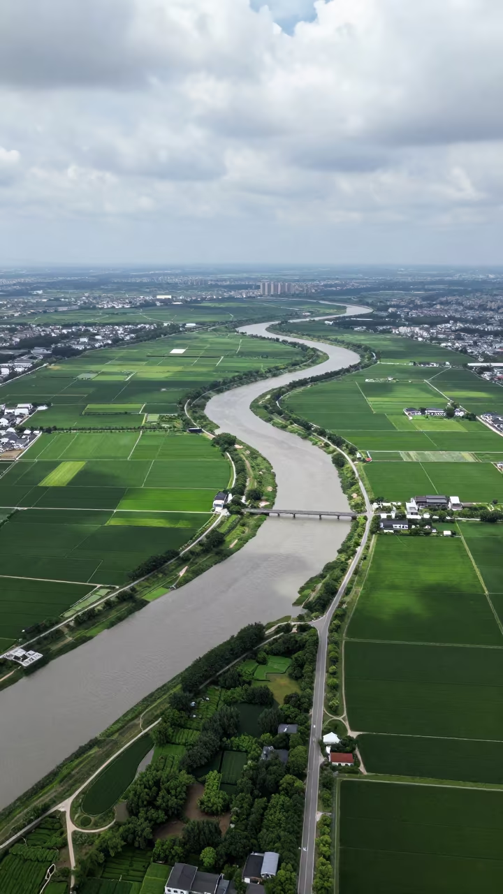
Aerial Country Lanes Near Zhujiajiao Shanghai Fields
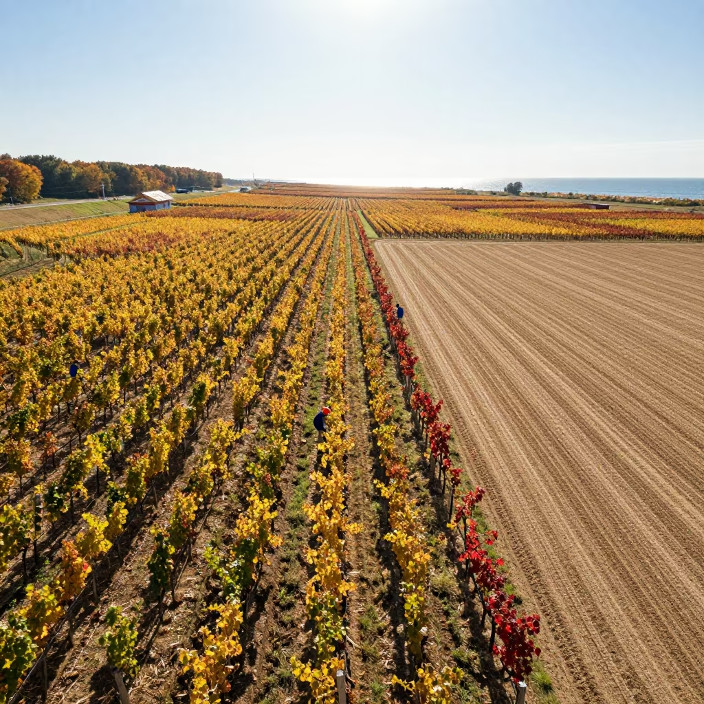
Autumn Vineyard Patchwork Near Changchun
Aerial Lanes Over Braided Rivers Near Hpa An
Aerial Mountain Switchback Road in Spring Dawn Light
Aerial Nomadic Camp Yurts Grassland Late Afternoon
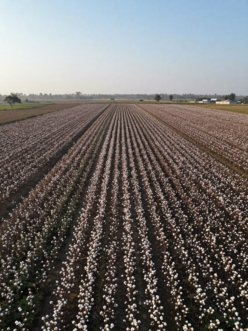
Dawn Cotton Fields Indonesia Aerial View
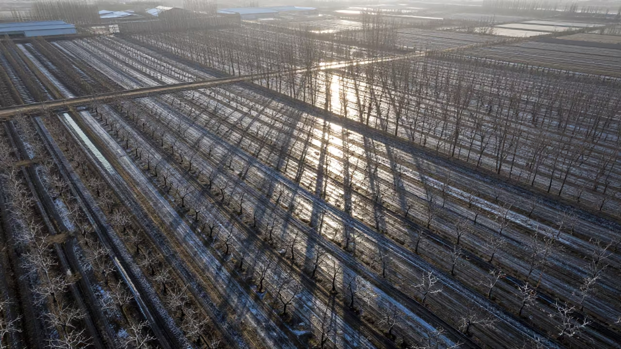
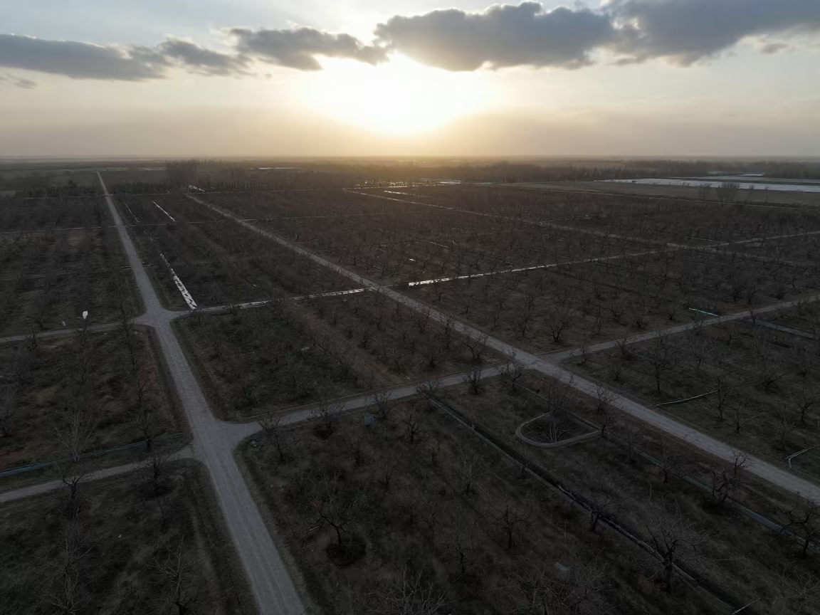
Midnight Aerial View of Liaoning Orchards in Silvery Light
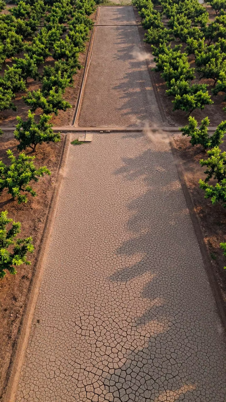
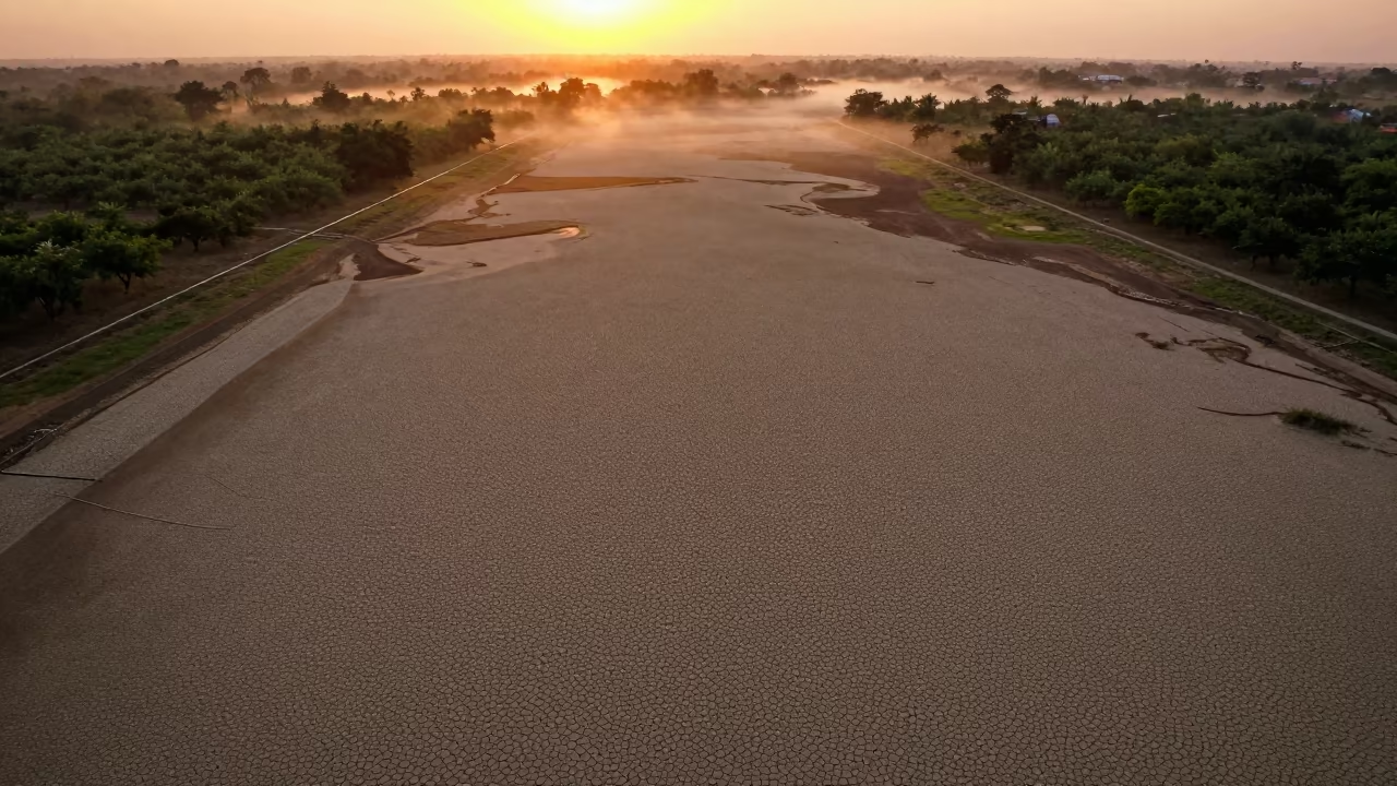
Cracked Mud Patterns Over Cambodian Orchards
Cracked Mud Lakebed Sunset Aerial View Ranchi
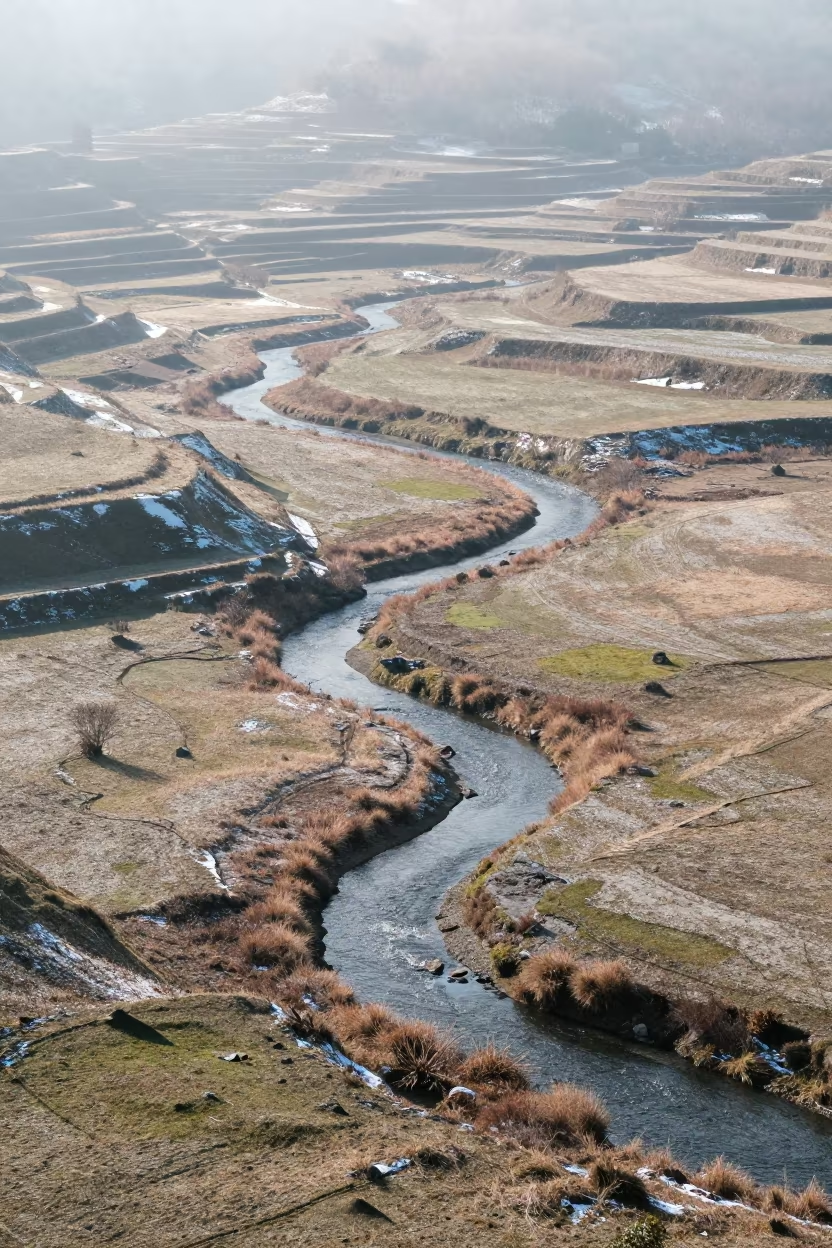
Aerial View of Creek Winding Through Snowy Autumn Meadow
Aerial View of Rajkot Allotments and Sidings
Aerial View of Medan Plantation Rows
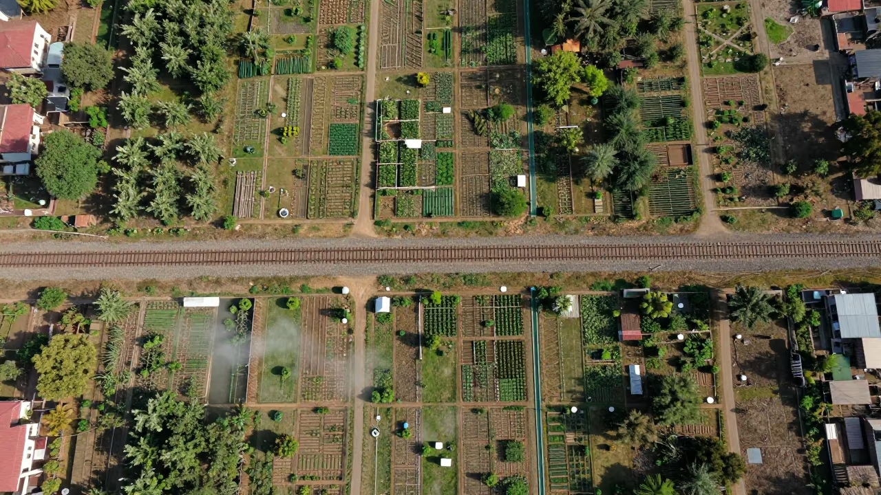
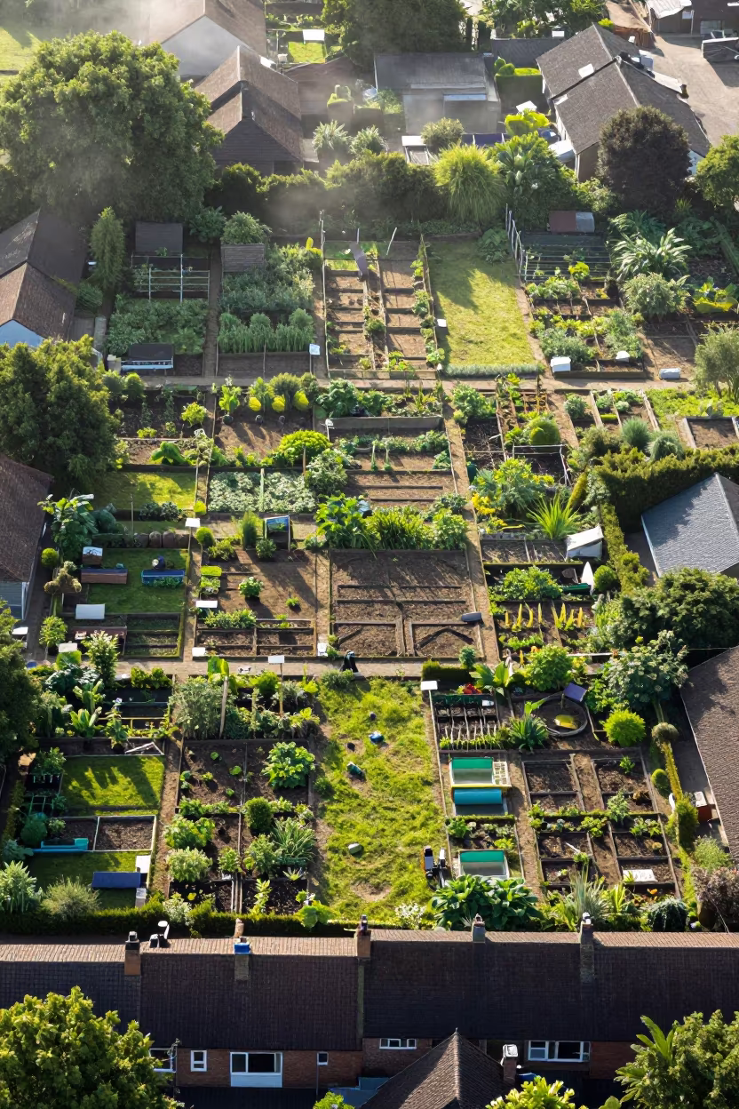
Aerial view of autumn allotment gardens
Aerial View of Indonesian Allotment Gardens
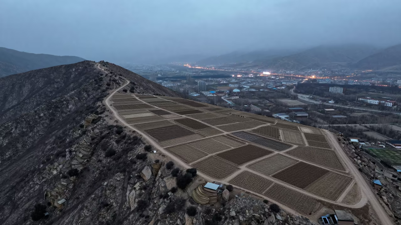
Aerial View of Lhasa Allotments in Steel Blue Mist
Aerial View of Autumn Allotment Gardens Near Namangan
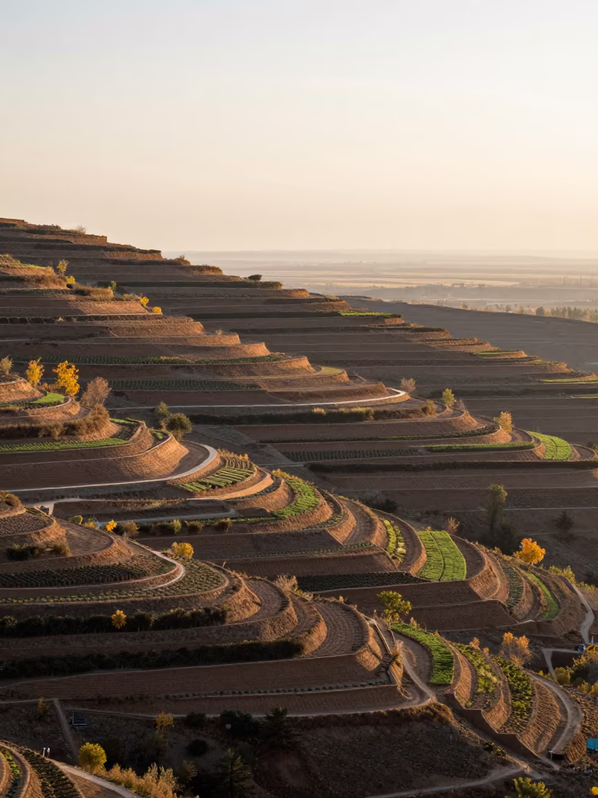
Aerial View of Pali Allotment Gardens in Low Sun
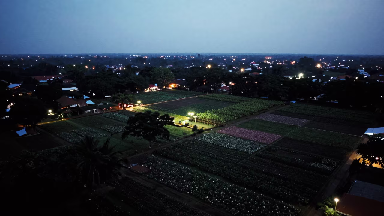
Medan Orchard Patchwork Silhouette City Lights
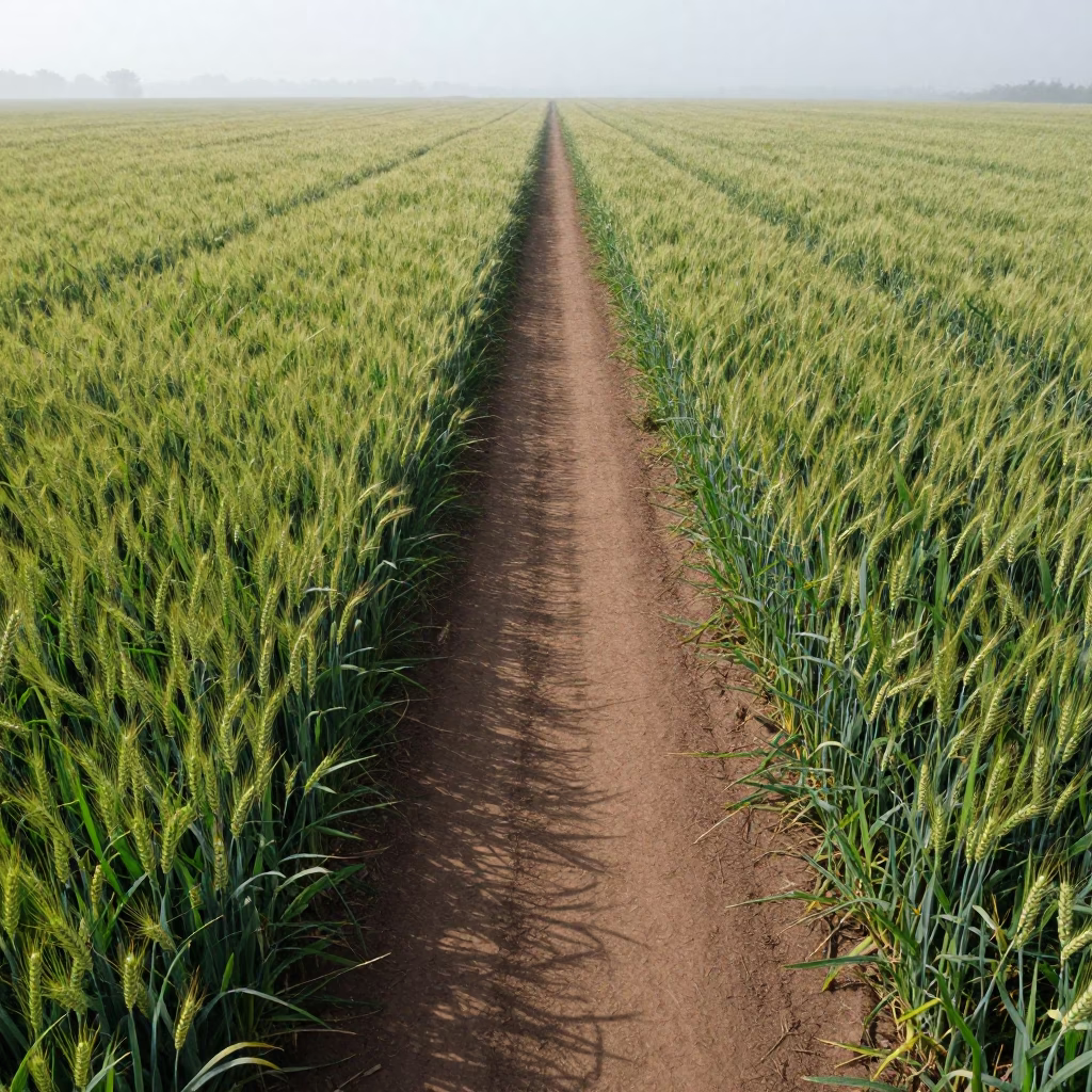
Aerial View of Wheat Path in Dundo Field
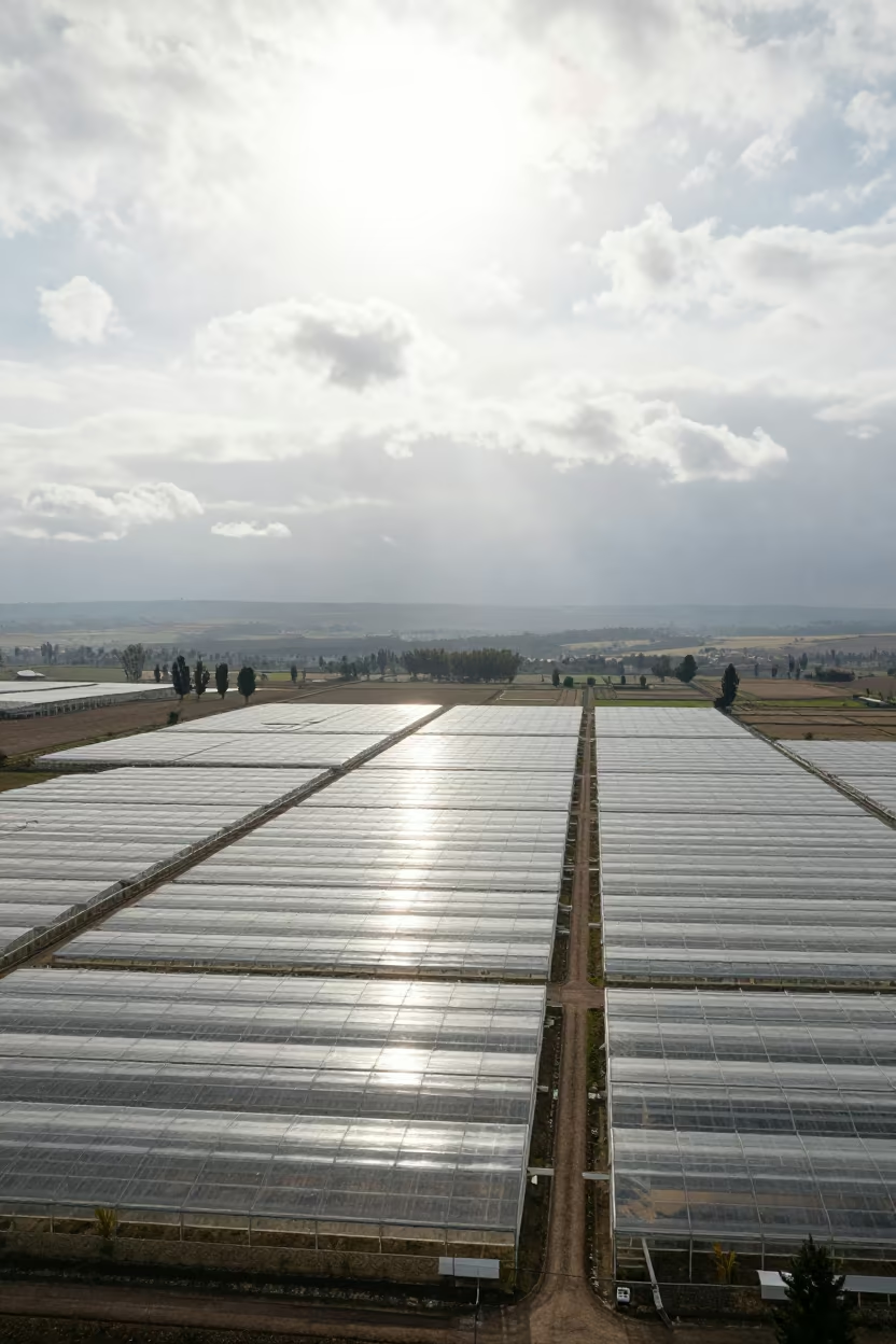
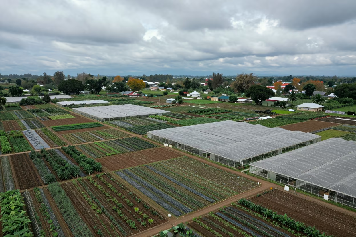
Aerial View of Lesotho Greenhouse Grids Noon

Aerial autumn forest road Mongolia salt ponds
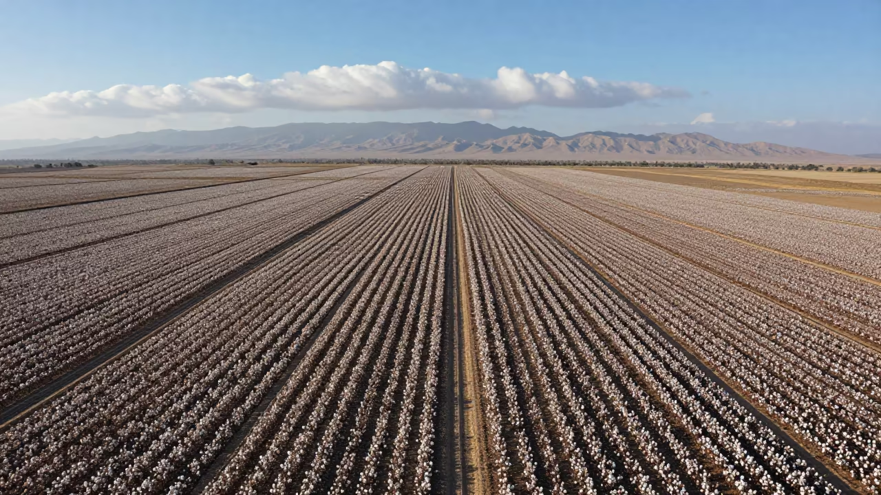
Aerial View of Cotton Fields Near Ramadi
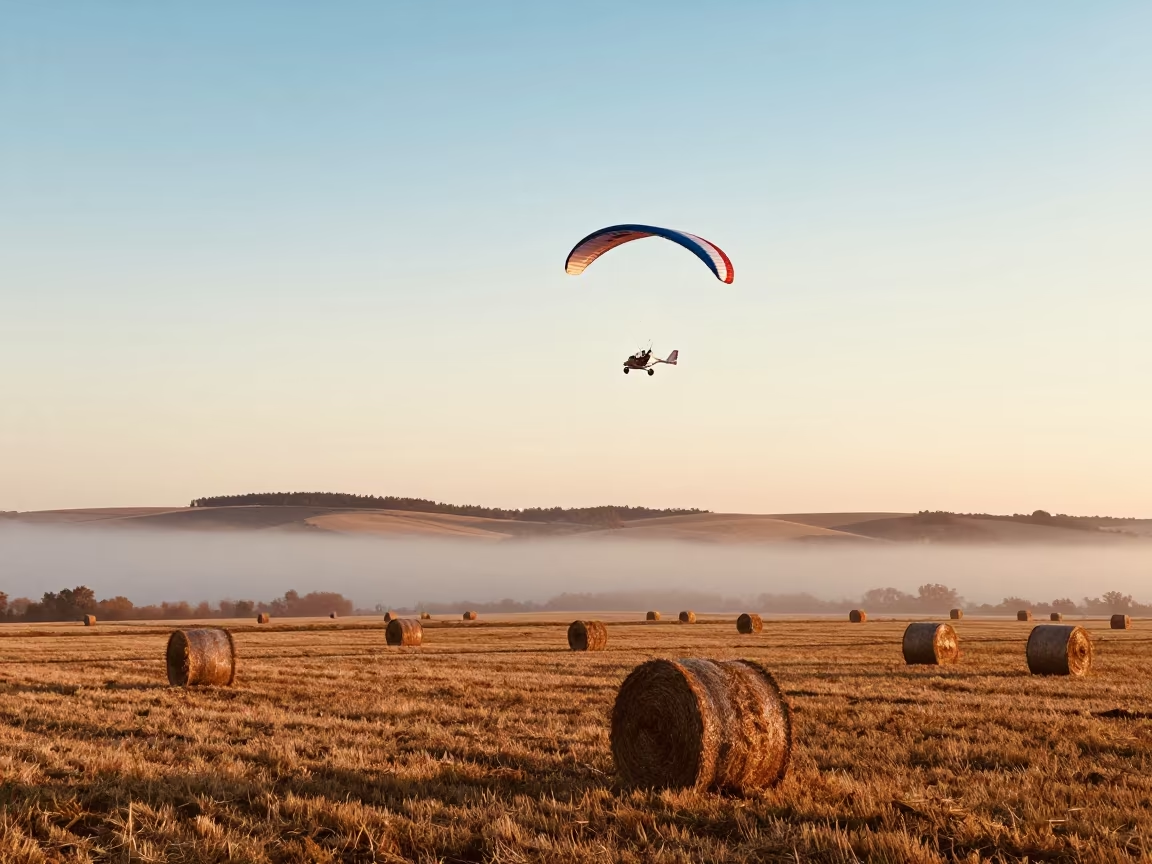
Microlight Over Autumn Farm Fog
Sichuan Orchard Grids Above Golden Sunset Fog
Aerial View of Nomadic Camp on Salt Ponds

Long Jumper Mid Air Mountain Path Ulaanbaatar
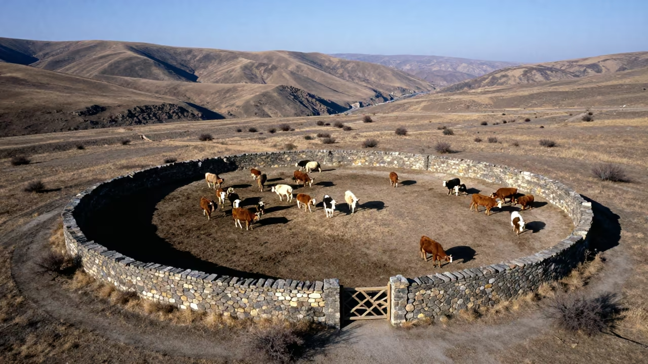
Aerial View of Armenian Cattle Corral Noon
Aerial Orchard Grids Morning Haze Low Sun Bokhtar
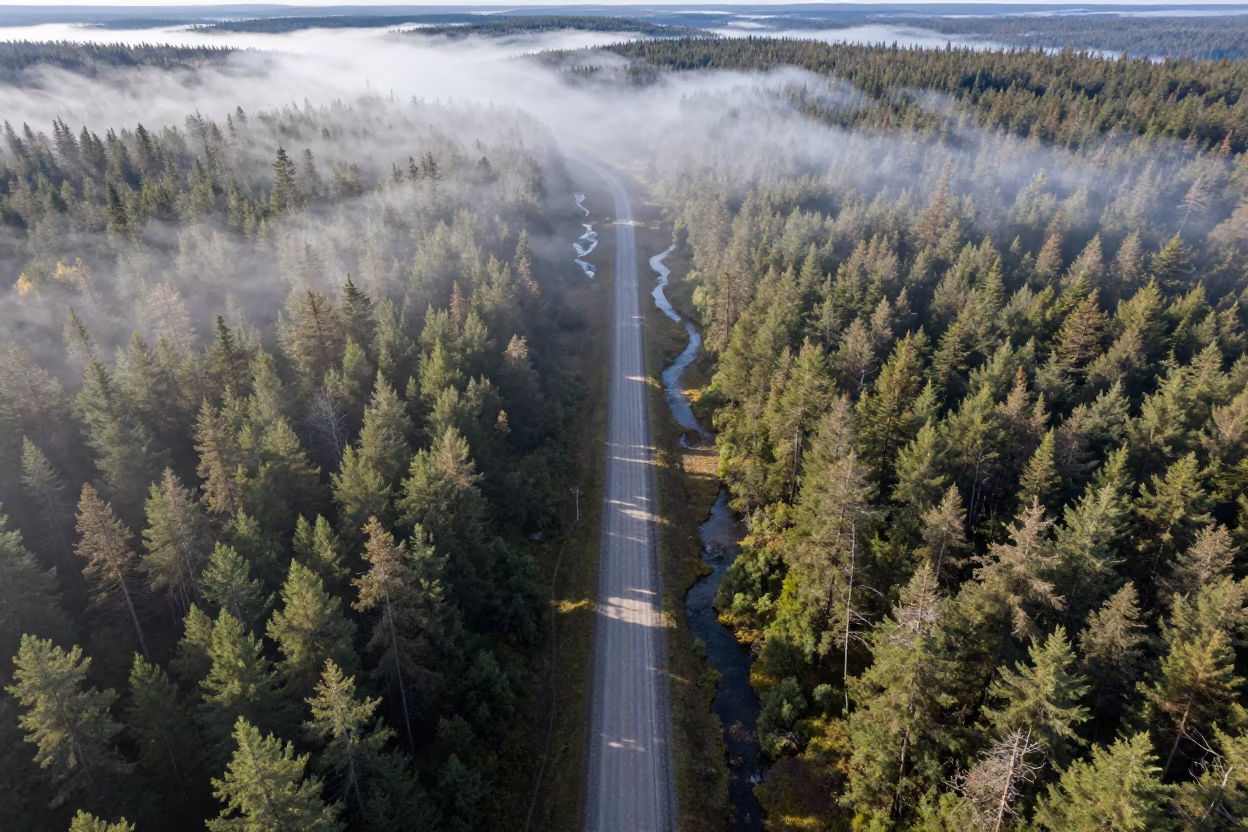
Aerial view of logging road through misty forest
Aerial Causeway Traffic Storm Clearing Lhasa
Aerial View Winding Trail Through English Forest
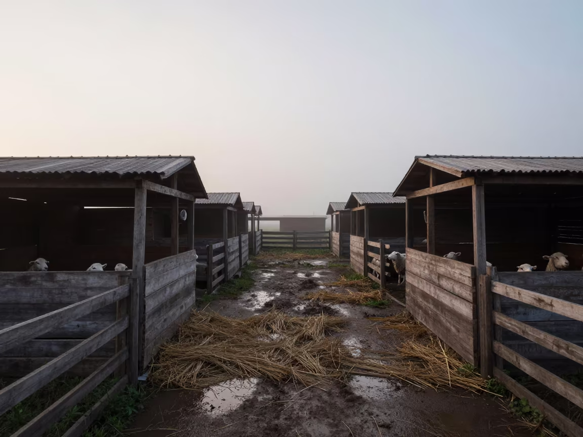
Mongolian Lambing Barn in Misty Afternoon Light
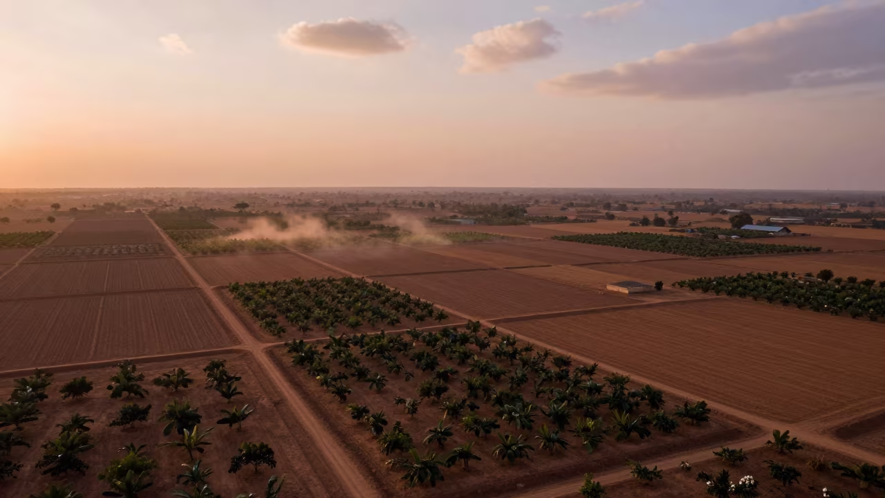
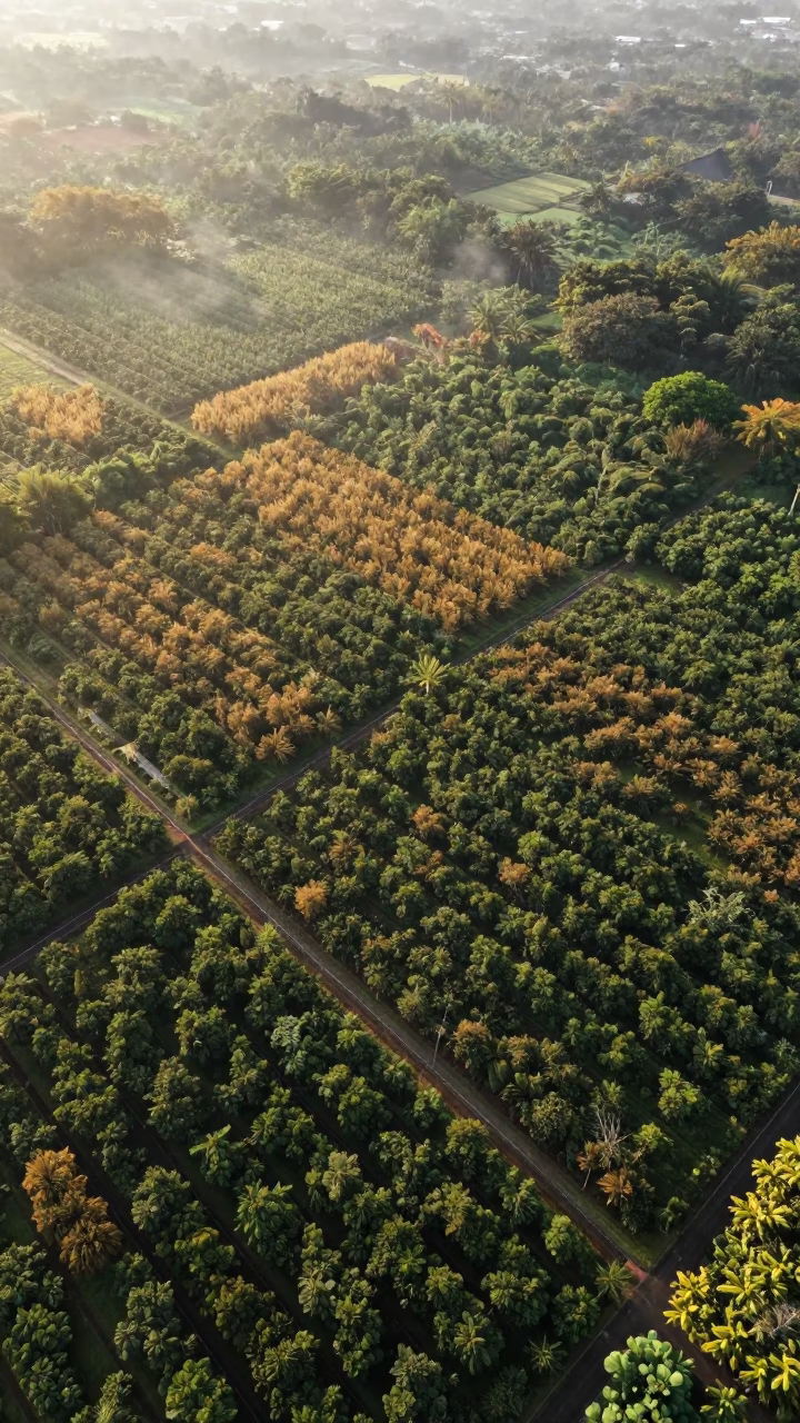
Nigerian Orchards Copper Light Aerial View
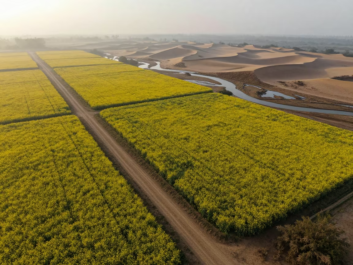
Aerial View of Mustard Fields and Wadis
Comments