Monsoon Orchard Patterns Above Kamsar
by Kelsey Page
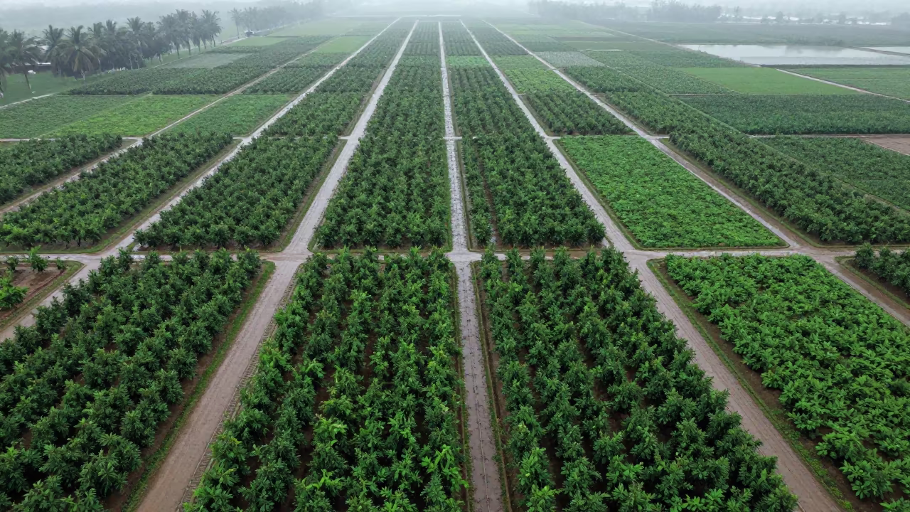
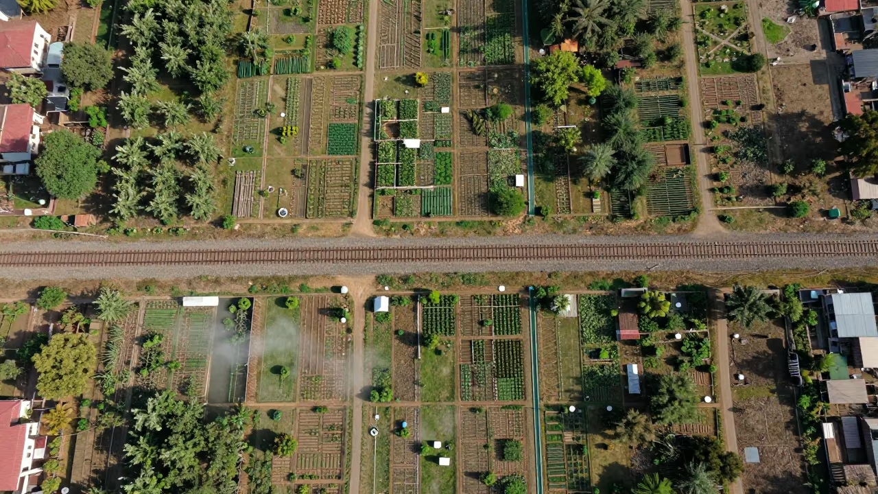
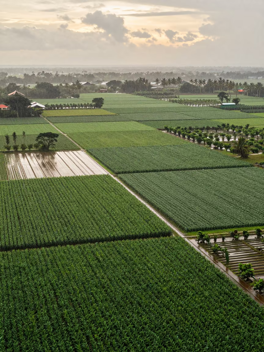
Pale morning light spreads across a vast expanse of cultivated land near Kamsar, revealing a precise patchwork of irrigation geometry. Deep emerald squares of dense foliage alternate with lighter, wet soil paths that glisten under the humid post-rain sky. The grid lines cut sharply through the terrain, forming a rhythmic mosaic of rectangular plots that stretch toward the horizon. Moisture coats the leaves, creating a uniform sheen that softens the edges of the trees while the dark earth absorbs the diffused glow. Thin white lines of irrigation channels snake between the blocks, defining the boundaries with cartographic precision. The composition divides the frame, leaving the lower right corner to emphasize the scale of the agricultural grid against the pale sky.
<a href="https://img.veeter.com/monsoon-orchard-patterns-above-kamsar"><img src="https://cdn.veeter.com/img/monsoon-orchard-patterns-above-kamsar" alt="Monsoon Orchard Patterns Above Kamsar in high above irrigation geometry near Kamsar"></a>
Free to download. CDN hosting requires a link back to this page. Terms
Similar Images
Aerial View of Corn and Soybean Fields in Anand
Canon EOS R3 · far above orchard blocks and irrigation lines near Anand
Aerial View of Irrigation Patterns Near Chelmsford
Nikon FM3A · high above irrigation geometry near Chelmsford
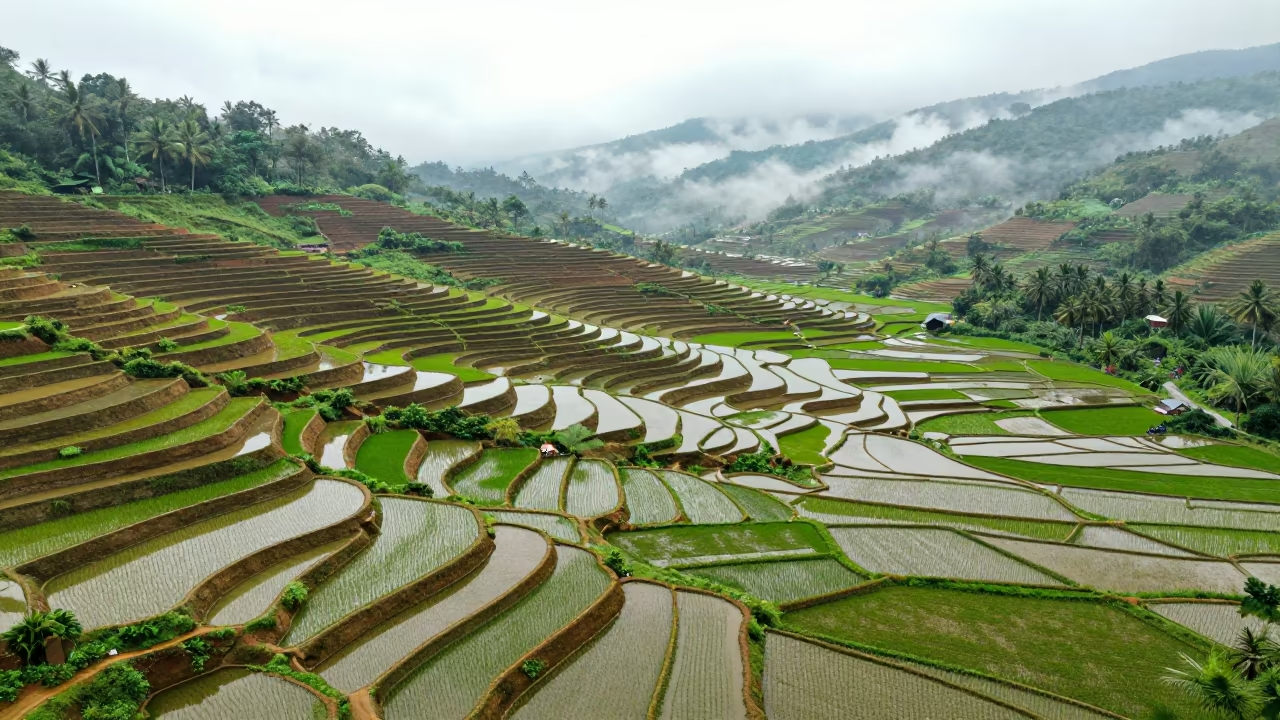
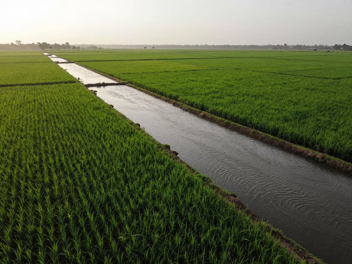
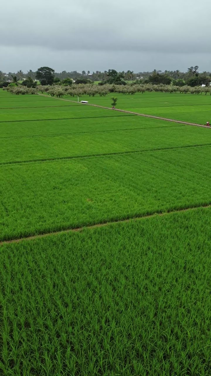
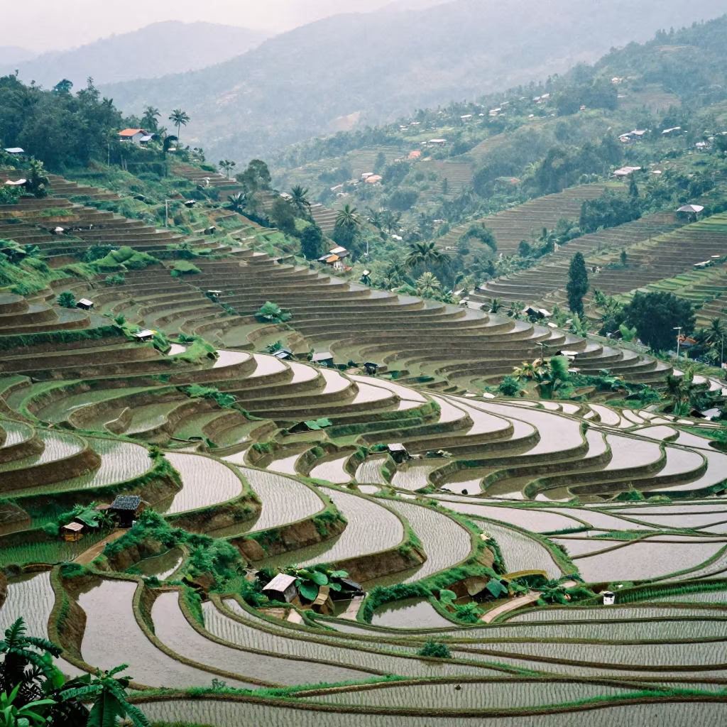
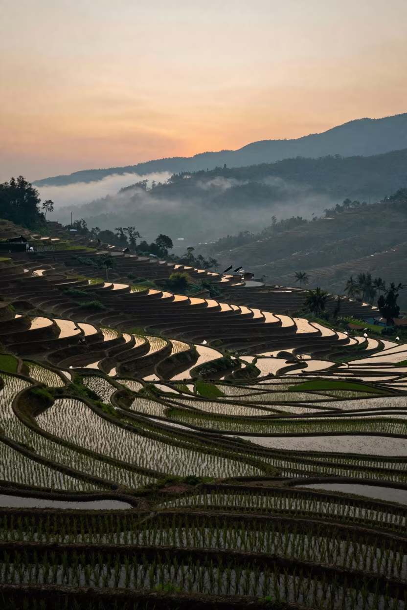
Aerial View of Rice Terraces at Dawn
Olympus OM-10 · along freshly irrigated rows in Ho Chi Minh City
Aerial Lavender Fields India Rainy Season
Samsung Galaxy S10+ · high above irrigation geometry in India
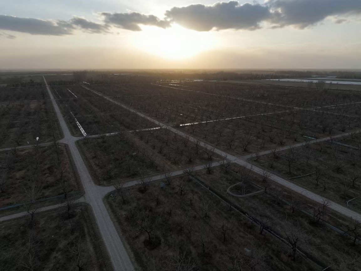
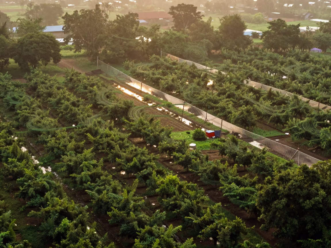
Aerial Orchard Grids Morning Haze Low Sun Bokhtar
Leica M11 · high above irrigation geometry near Bokhtar
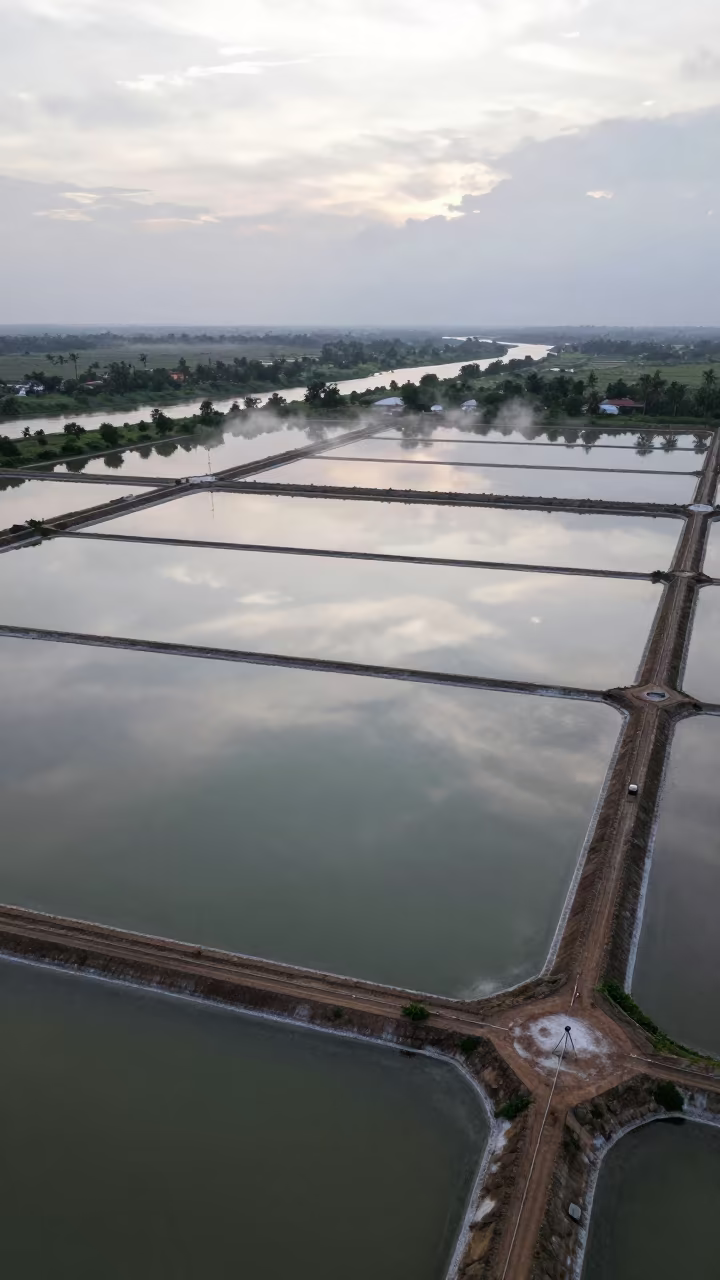
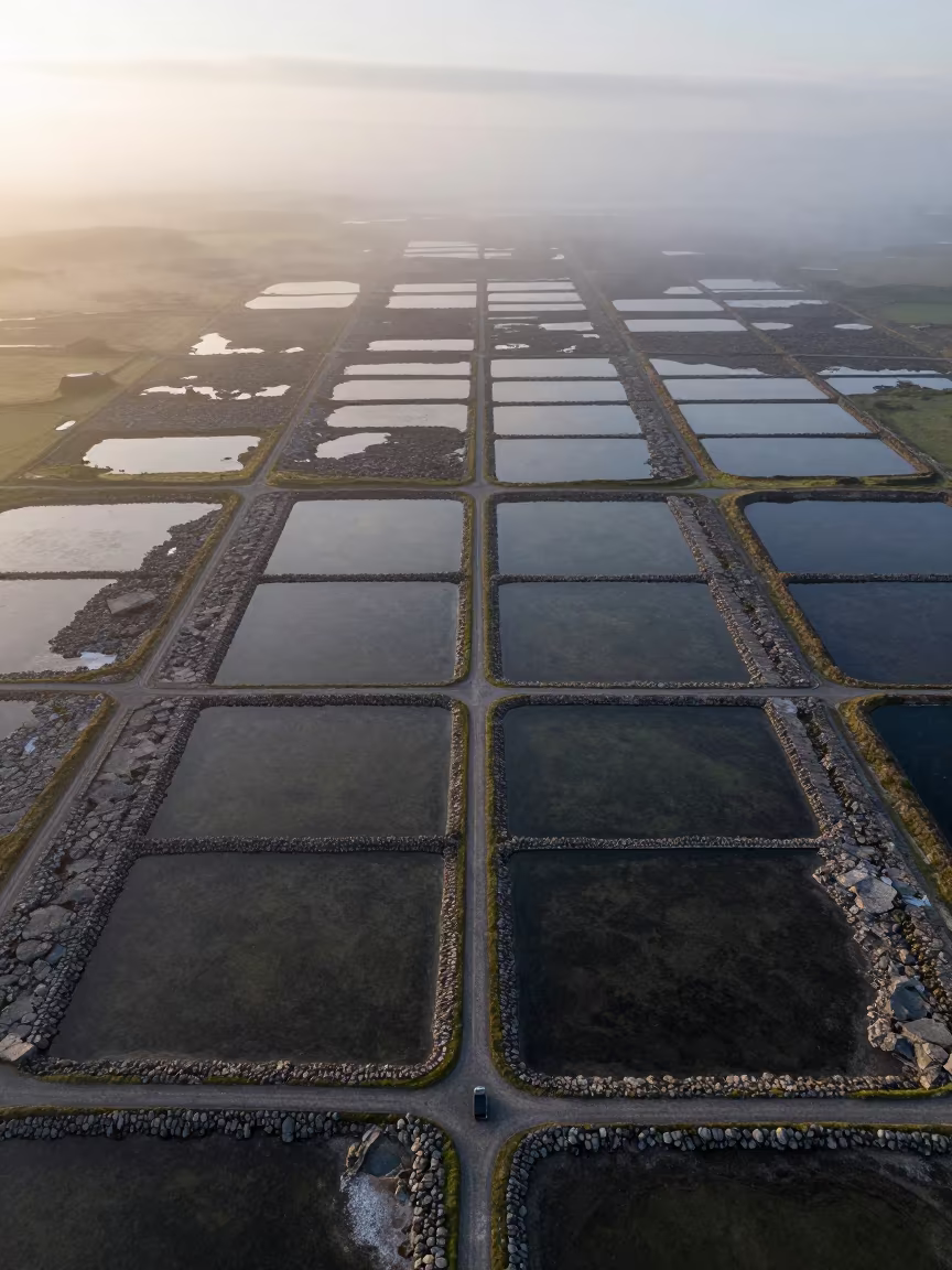
Aerial Salt Ponds Monsoon Bidar
Google Pixel 4 XL · far above river meanders near Bidar
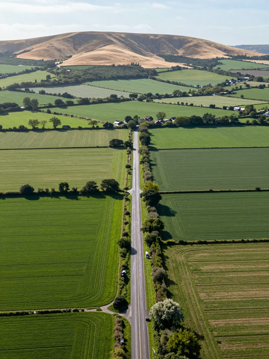
Aerial View of Country Lanes and Irrigation Fields
Canon EOS R7 · high above irrigation geometry near Canterbury
Wet Season Rice Terraces Tamil Nadu Morning Fog
iPhone 15 · in Tamil Nadu
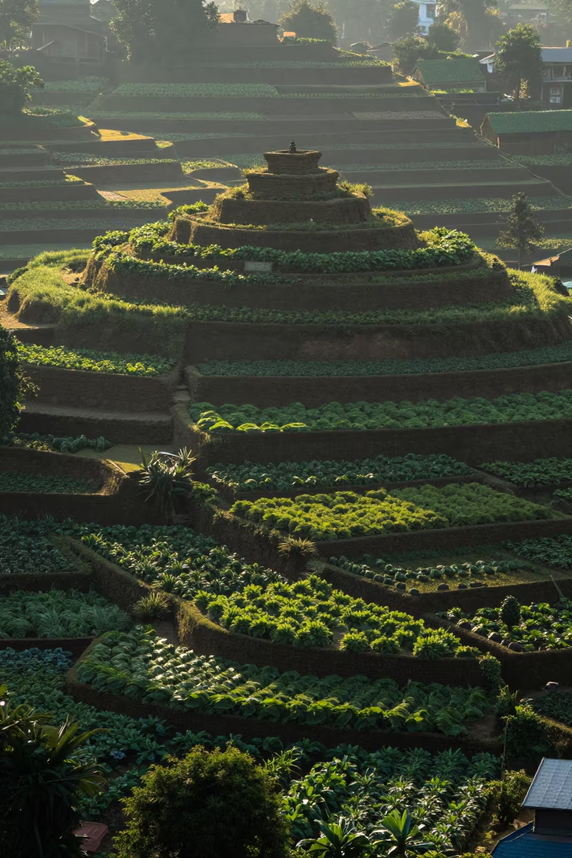
Dawn Shadows Over Kathmandu Allotment Gardens
Canon EOS 6D Mark II · beside a summit cairn above the tree line near Kathmandu
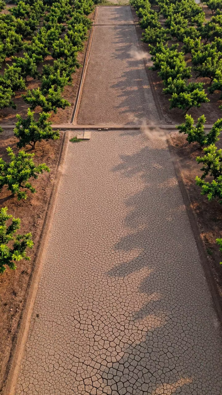
Cracked Mud Patterns Over Cambodian Orchards
Samsung Galaxy S23+ · far above orchard blocks and irrigation lines in Cambodia
Aerial View of Autumn Allotment Gardens Near Namangan
Nikon Z 6 · far above terraced hillsides near Namangan
Aerial Spring Dawn Over Salt Ponds Fields
Samsung Galaxy S23 Ultra · high over salt ponds and causeways near Zhangjiajie
Emerald Rice Paddies Diagonal Dawn Khartoum
Nikon FE · near Khartoum
Irish Salt Ponds Aerial Limestone Karst View
Pentax K-7 · high over salt ponds and causeways in Ireland
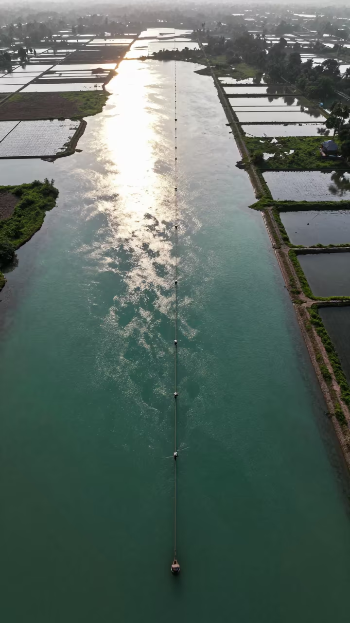
Jade Lagoon Irrigation Geometry Aerial View
iPhone 16 · high above irrigation geometry in Madhya Pradesh
Aerial View of Corn and Soybean Fields Near Vinh
Olympus OM-D E-M1 Mark II · high above braided river channels near Vinh
Aerial View of Copper Hills and Switchback Roads
Nikon D750 · high above irrigation geometry in Odisha
Rice Terraces Over Braided River Channels
Canon EOS R8 · high above braided river channels near Barinas
Aerial Salt Ponds Greenhouse District 3
Canon EOS 5D Mark III · high over greenhouse grids near District 3, Ho Chi Minh City
Kansas Farmland Patchwork Under Overcast Sky
iPhone 16 Pro · among orchard ladders and crates in Victoria
Aerial View of Rajkot Allotments and Sidings
Canon EOS R100 · far above orchard blocks and irrigation lines near Rajkot
Aerial View of Cemetery Amidst Dry Orchard Mist
Sony a7CR · far above orchard blocks and irrigation lines near Managua
Emerald Rice Paddy Patchwork Aerial View South Sudan
Nikon D700 · far above orchard blocks and irrigation lines in South Sudan
Rainy Season Checkerboard Fields Near Sumbawanga
Asahi Pentax S · far above orchard blocks and irrigation lines near Sumbawanga
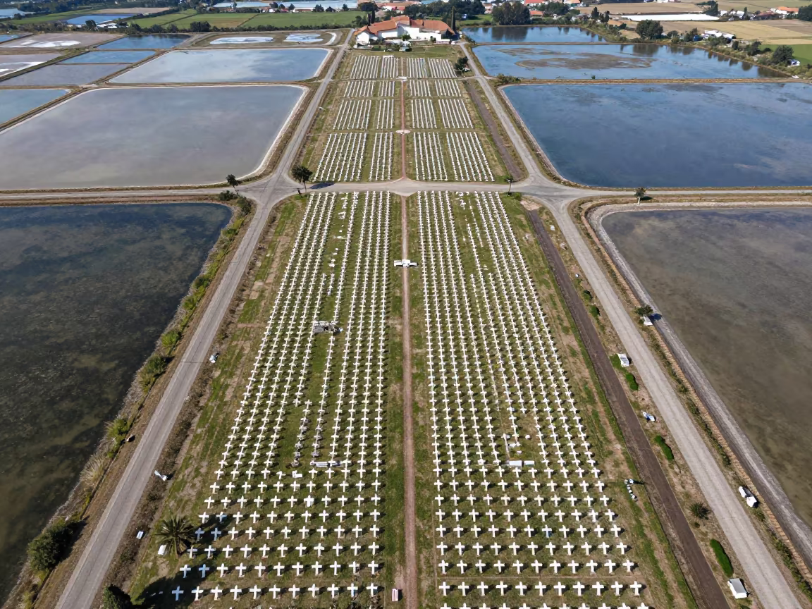
Aerial Cemetery Over Salt Ponds Near Forli
Pentax K10D · high over salt ponds and causeways near Forlì
Tree Rings Over Khartoum Orchard Canopy
Minolta XD-7 · far above orchard blocks and irrigation lines near Khartoum
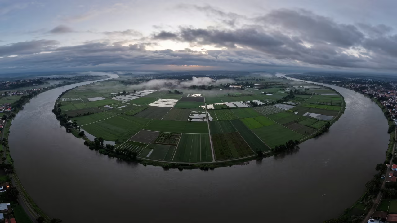
Aerial River Delta at Dawn Near Cajamarca
Mamiya RB67 · high above irrigation geometry near Cajamarca
Aerial View of Pink Salt Ponds Near Quezon City
Kodak Brownie Number 2 · high above irrigation geometry near Quezon City
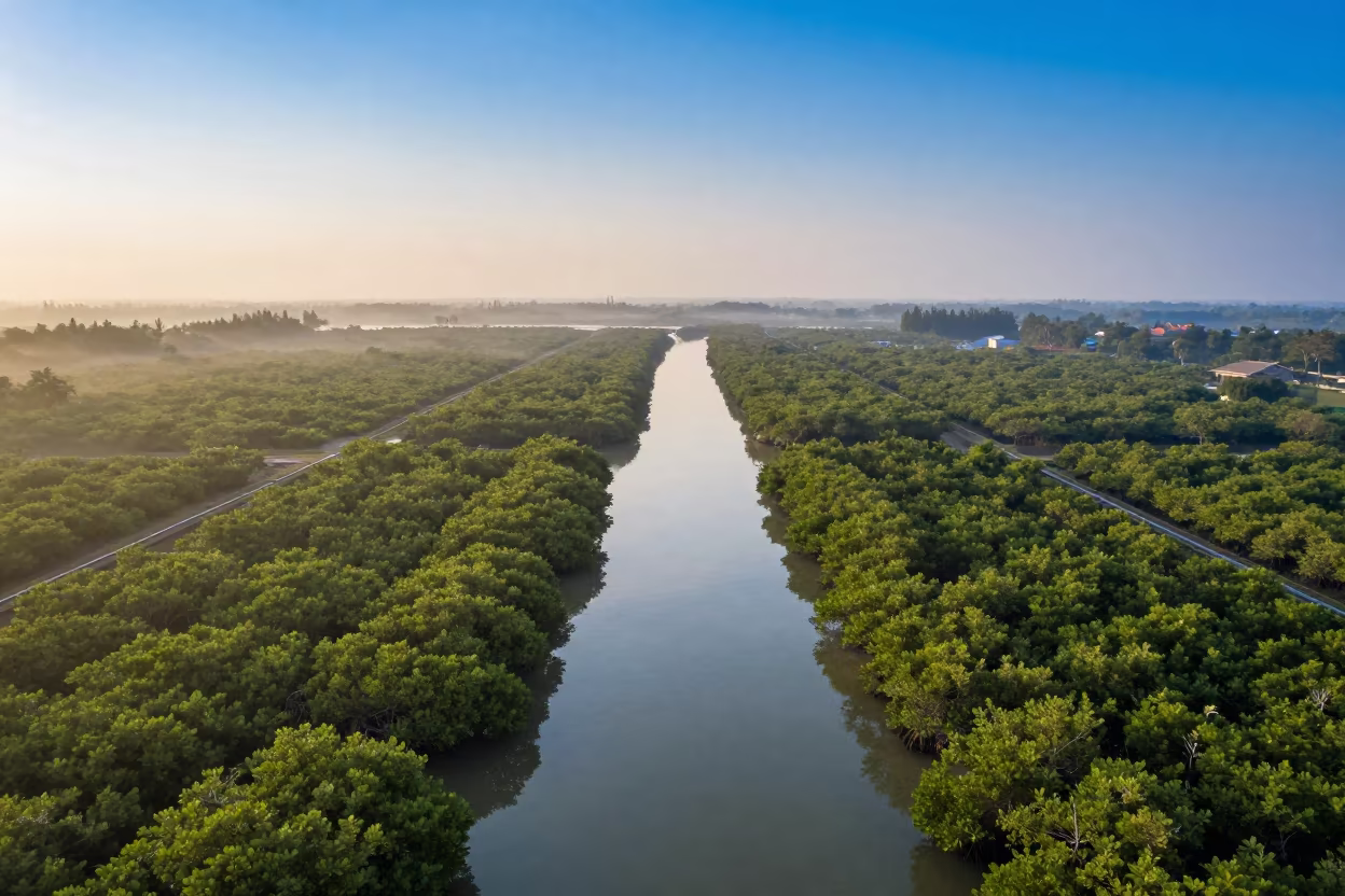
Dawn Mangrove Channels Aerial View Near Jakarta
Sony a6000 · far above orchard blocks and irrigation lines near Jakarta
Aerial Orchard Grids Late Afternoon Light São Paulo
Fujifilm X-E4 · high above irrigation geometry near São Paulo
Circular Irrigation Patterns Karnataka Rainy Season
Leica M6 · along freshly irrigated rows in Karnataka
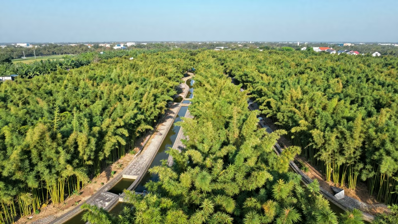
Aerial Bamboo Forest Irrigation Geometry Vietnam
iPhone XS Max · high above irrigation geometry near Ho Chi Minh City
Aerial Rice Terraces After Monsoon Rain
Nikon FM3A · across a wide valley floor near Sri Hartamas, Kuala Lumpur
Aerial View of Yellow Canola Fields Near Srinagar
Xiaomi 13 Ultra · near Srinagar
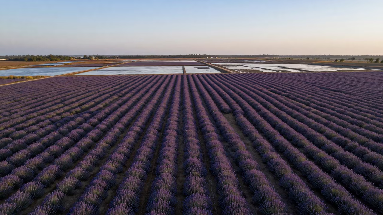
Aerial View of Lavender Rows at Dawn
Sony a9 · high over salt ponds and causeways in Mizoram
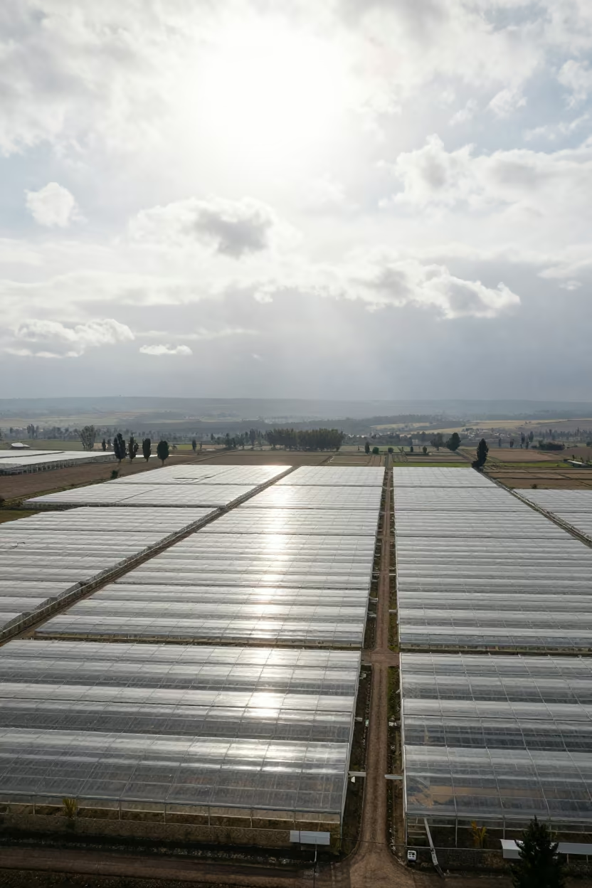
Aerial View of Lesotho Greenhouse Grids Noon
Canon EOS 7D Mark II · high over greenhouse grids in Lesotho
Amber Rice Terraces Misty Evening Valley
Leica M1 · across a wide valley floor near Campo Grande
Aerial Dawn Over Irrigated Rice Terraces in Goa
Canon EOS 750D · along freshly irrigated rows in Goa
Aerial View of Salt Ponds Nicaragua
Samsung Galaxy S24 Ultra · far above orchard blocks and irrigation lines in Nicaragua
Comments