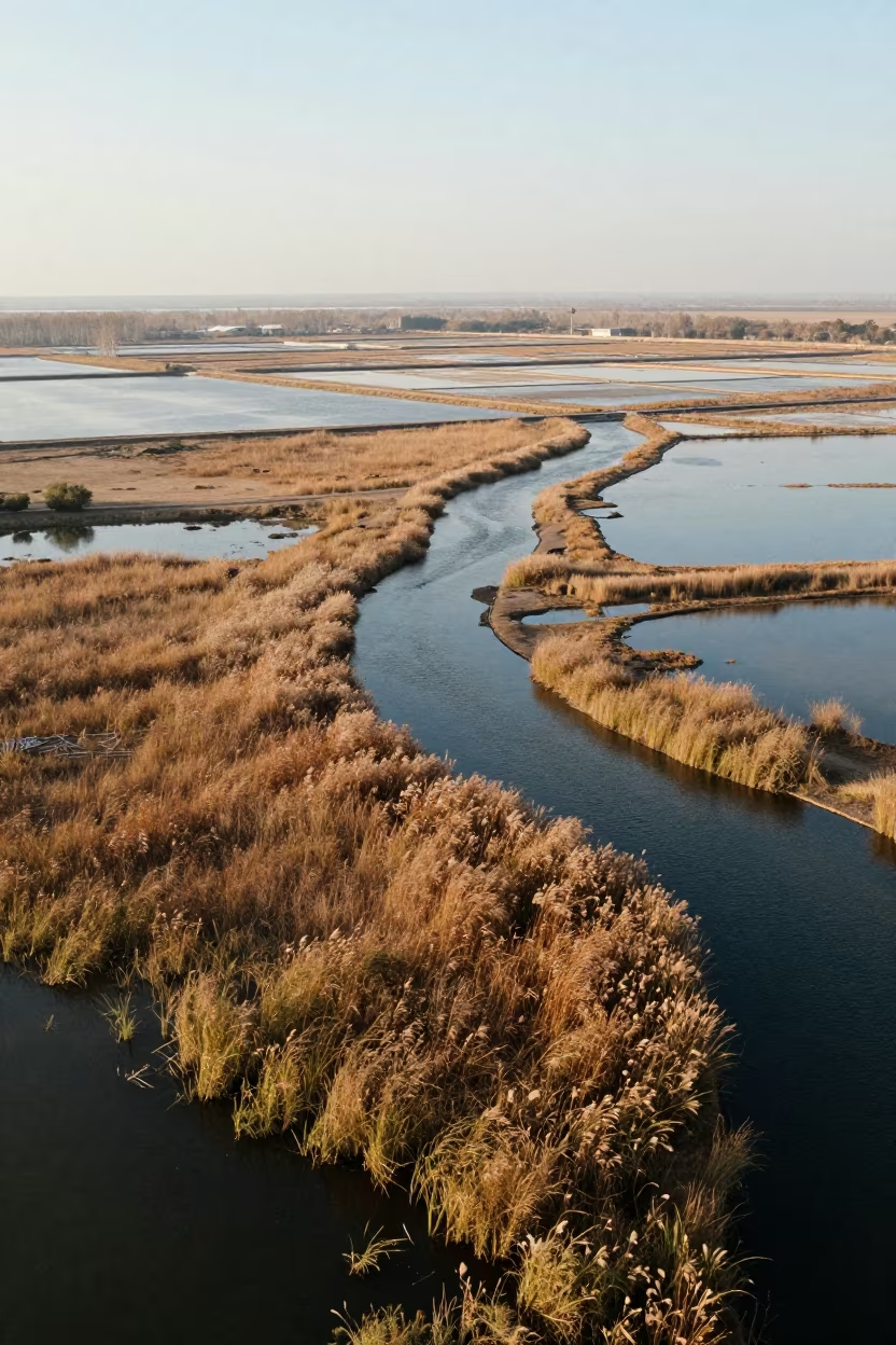
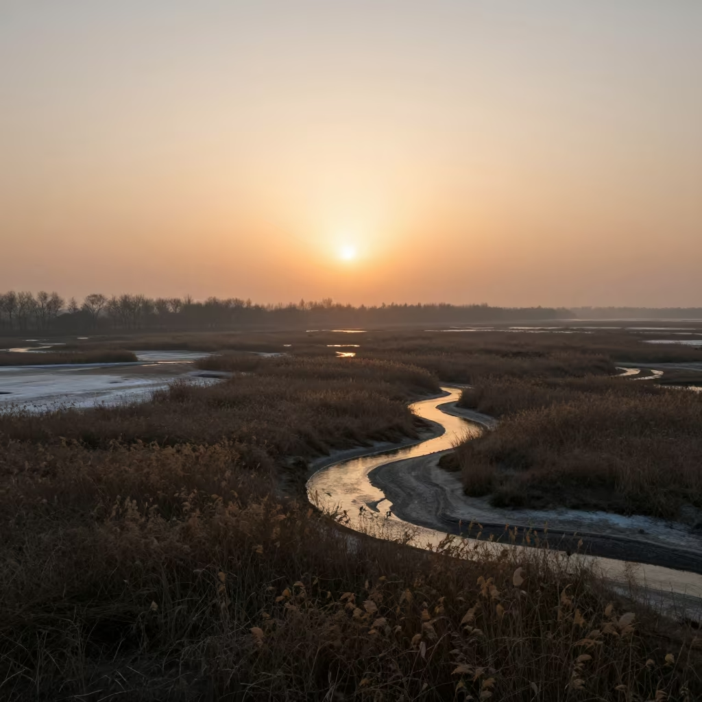
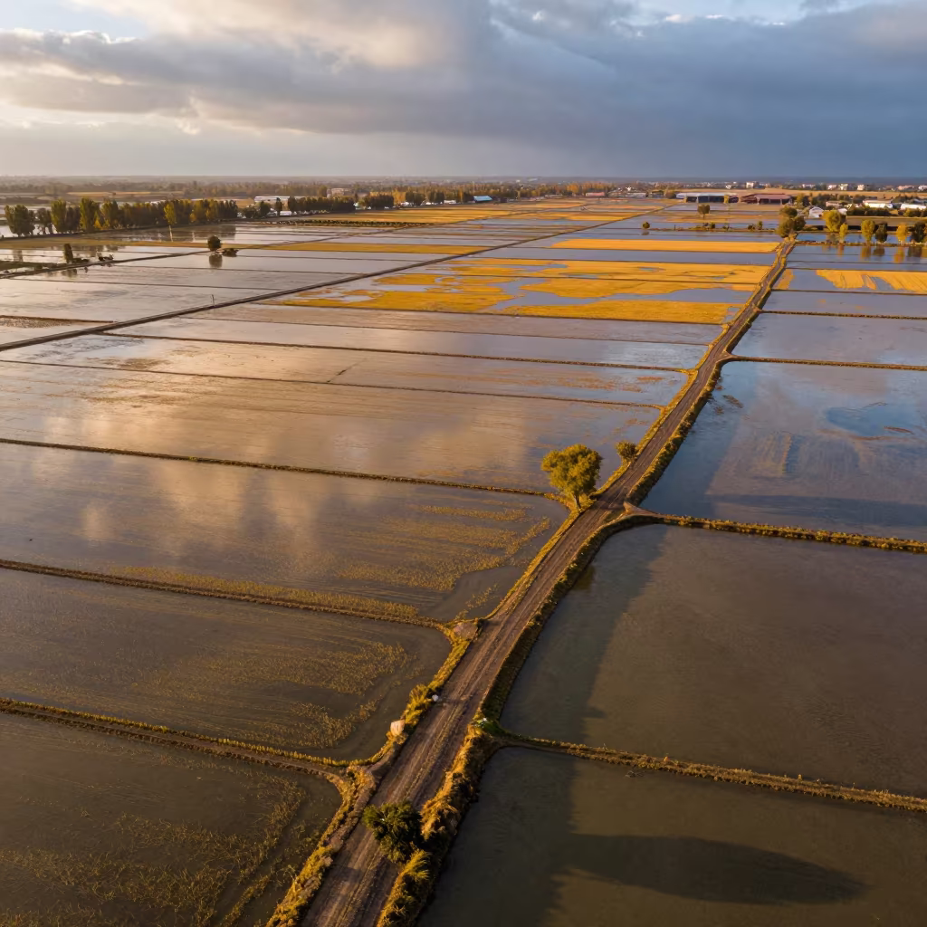
Aerial Wetland Channels Near Jalalabad
Soft late-afternoon light washes over a vast network of salt ponds and meandering water channels near Jalalabad. Diagonal causeways slice through the landscape, creating a geometric tension against the organic curves of the wetland. The water reflects the clear sky in muted silver and grey tones, while clusters of late autumn reeds stand in shades of rust and dried ochre along the banks. The wet surfaces glisten faintly, hinting at recent rain without obscuring the sharp cartographic clarity of the terrain. Deep brown earth contrasts with the pale, mineral-heavy water, showing the intricate human modification of this natural basin.
0
7 views
Free to download. CDN hosting requires a link back to this page. Terms
Similar Images
Copper Light Over Qamishli Salt Ponds
Mali Salt Ponds Aerial Emerald Water Causeways
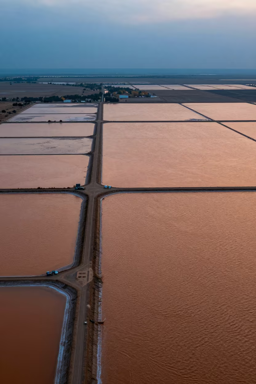
Aerial Rows of Salt Ponds Under Golden Dusk
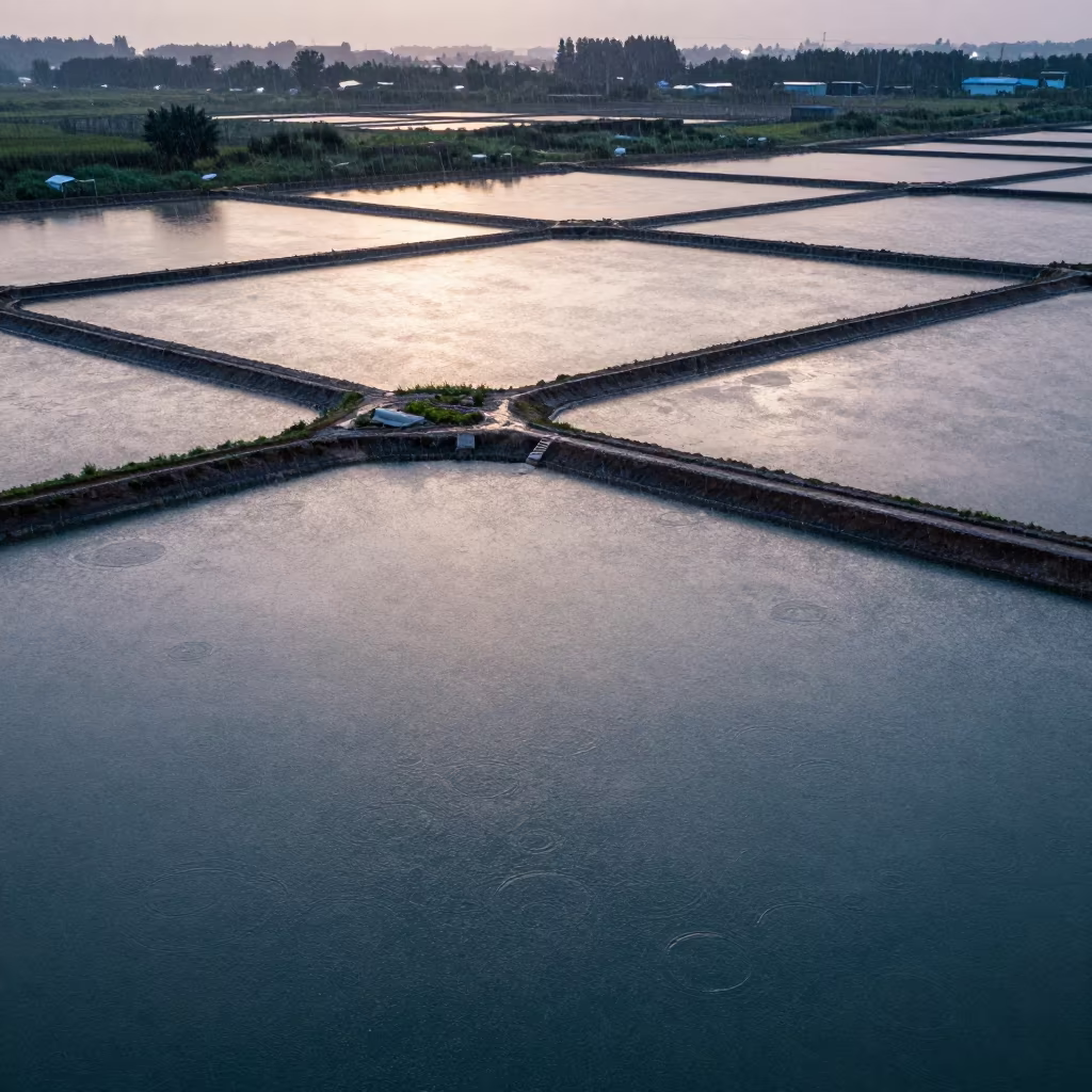
Aerial View of Bishkek Salt Ponds After Rain
Jade Lagoon Salt Ponds Czech Aerial
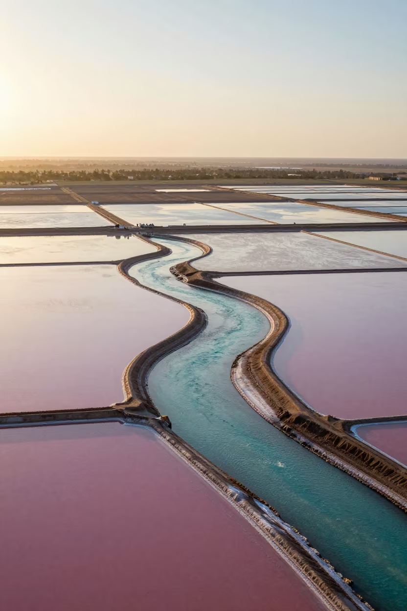
Pink and Turquoise Salt Ponds Aerial View Kuwait
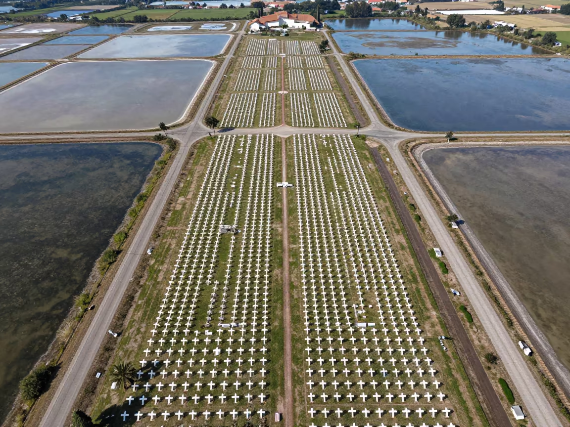
Aerial Cemetery Over Salt Ponds Near Forli
Aerial Salt Marshes Tidal Creeks Sunset Hanumangarh
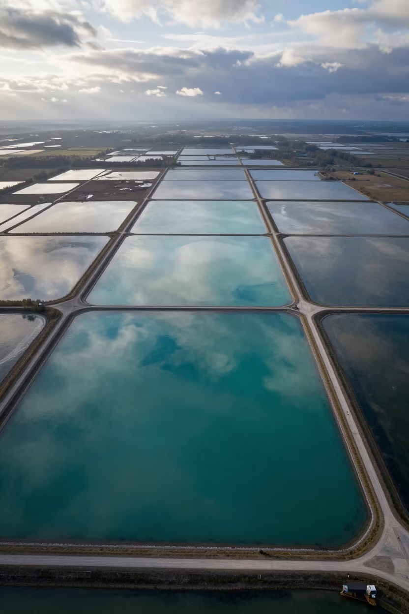
Jade Lagoon Irrigation Geometry Aerial View
Aerial Mangrove Channels After Rain Near Havana
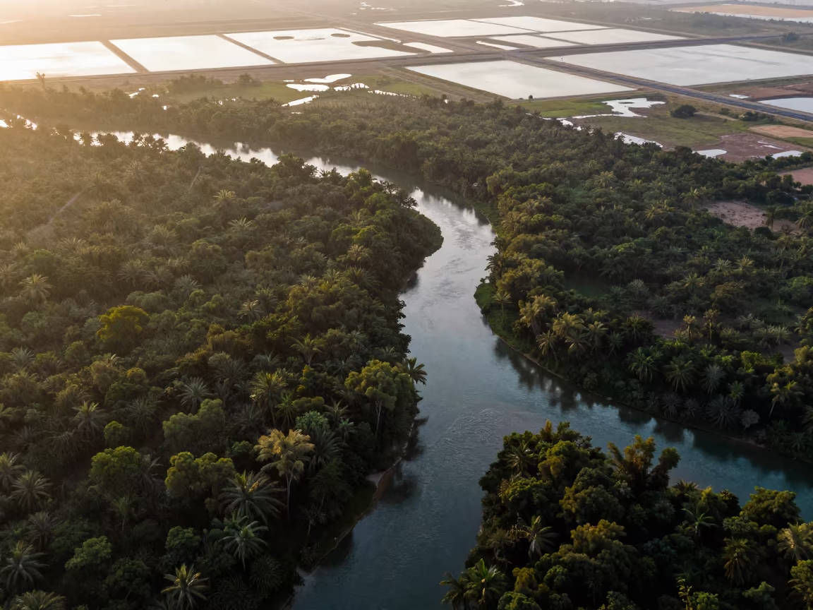
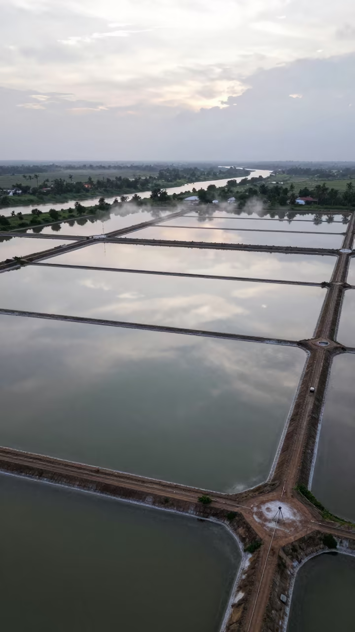
Aerial View of Wetland Channels in Laos
Aerial Dawn River Through Forest Canopy UAE
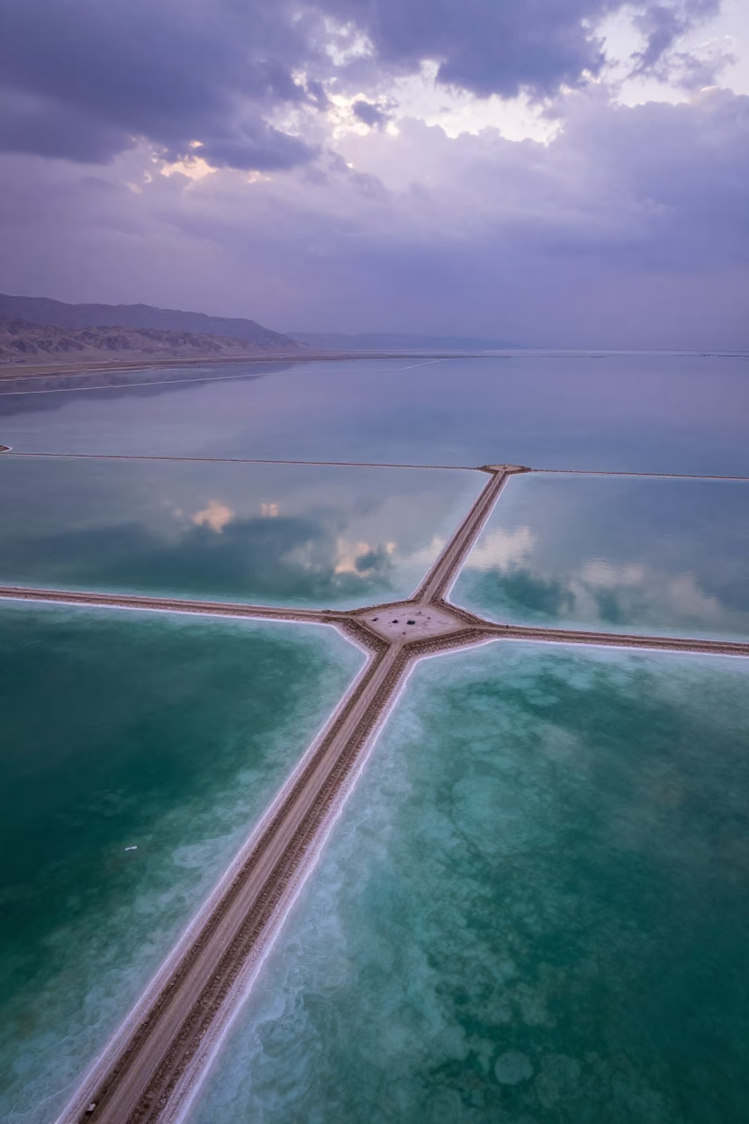
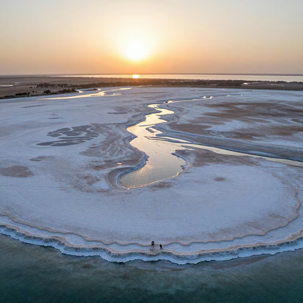
Dead Sea Salt Ponds Reflecting Dramatic Sky

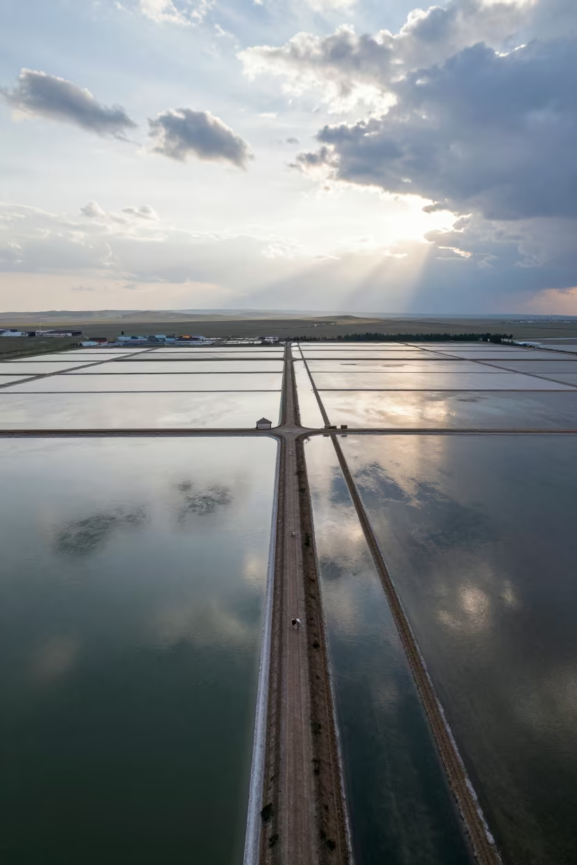
Aerial autumn forest road Mongolia salt ponds
Pink and Blue Salt Ponds Syria Aerial View
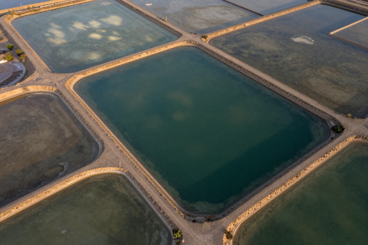
Aerial Salt Ponds Greenhouse District 3
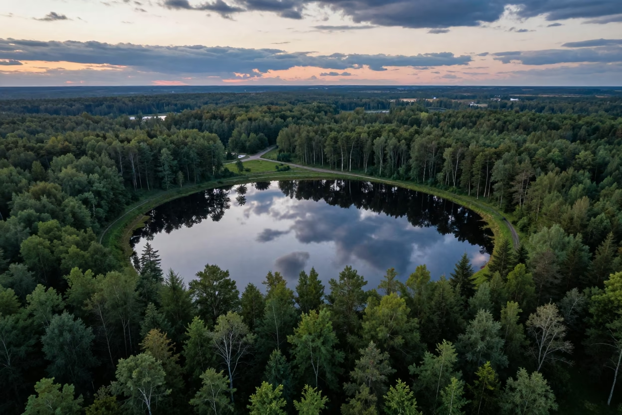
Twilight Reflection of Forest in Salt Ponds
Aerial Spring Dawn Over Salt Ponds Fields
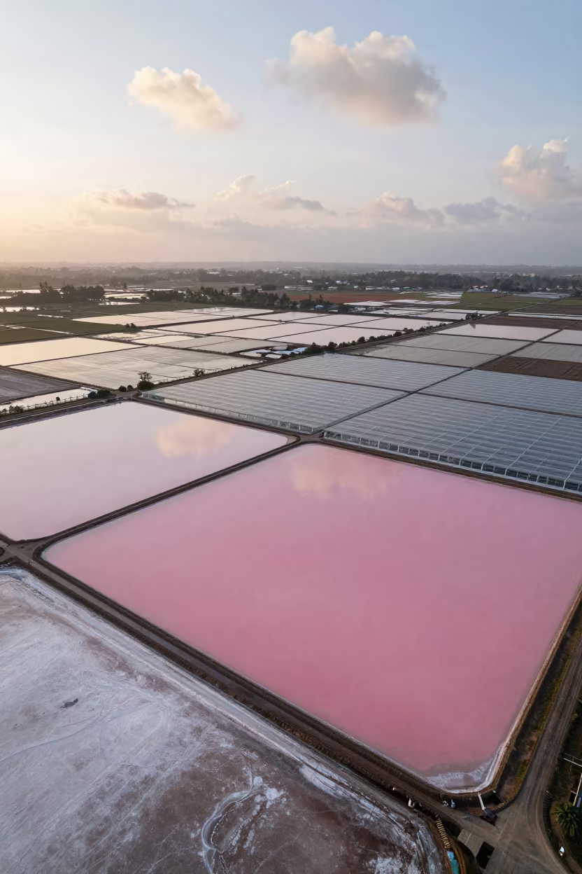
Pink Salt Ponds Over Java Greenhouse Grids
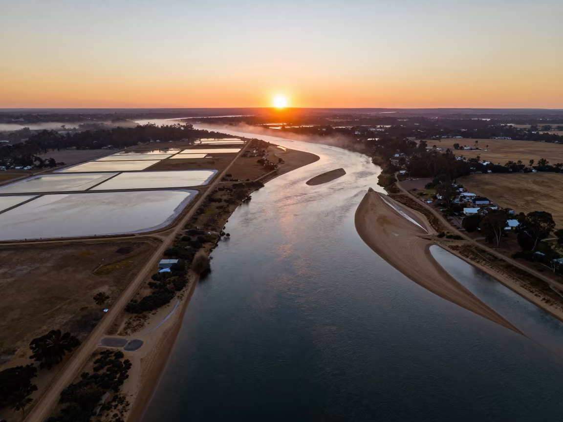
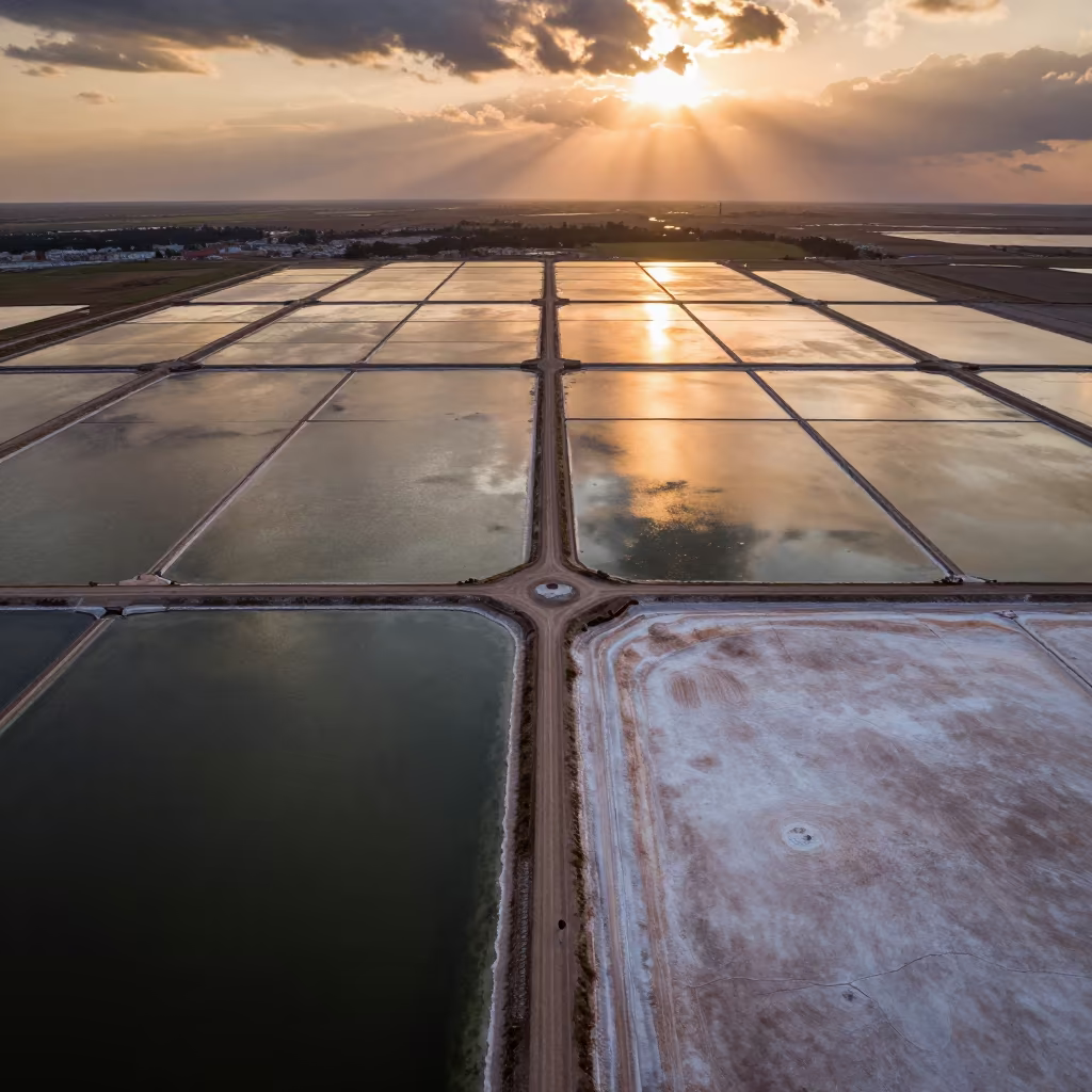
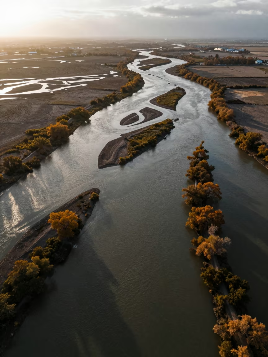
Aerial Sunset Over Salt Ponds and River Islands
Aerial Country Lanes Near Zhujiajiao Shanghai Fields
Aerial View of River Delta Branching Over Salt Ponds

Aerial View Glacial Moraine Striped Debris
Amber Sunset Over Salt Flat Floodplain
Aerial Peat Bog and Salt Ponds Tianjin Midsummer
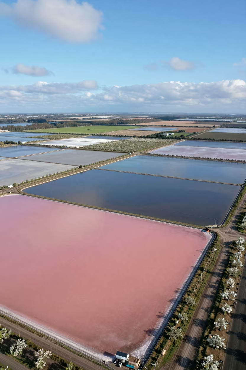
Pink Blue Salt Ponds Aerial View England
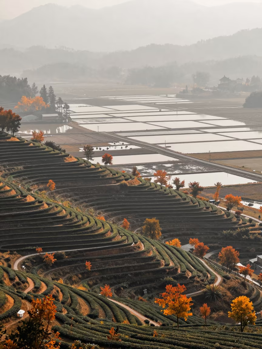
Autumn Tea Terraces Over Salt Ponds
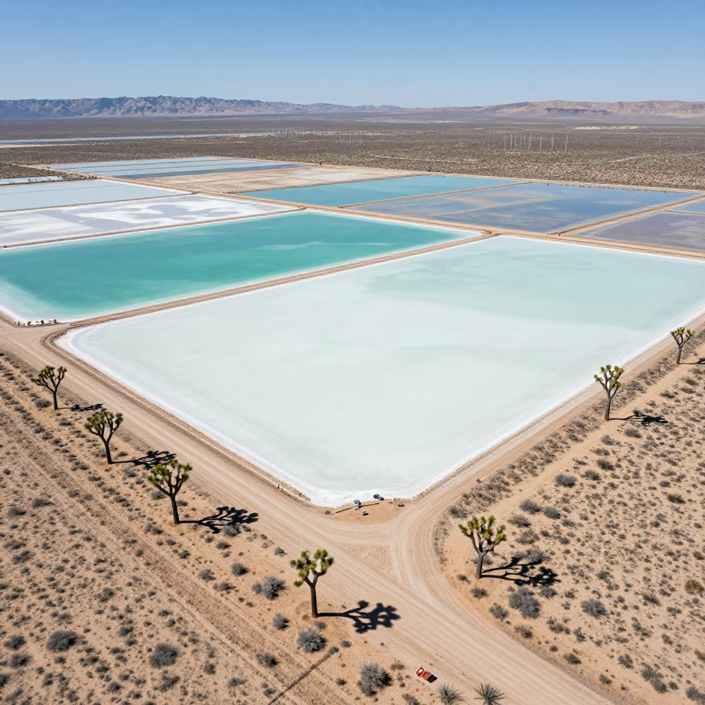
Aerial Desert View Joshua Trees Salt Ponds Utah
Aerial River Delta Over Salt Ponds
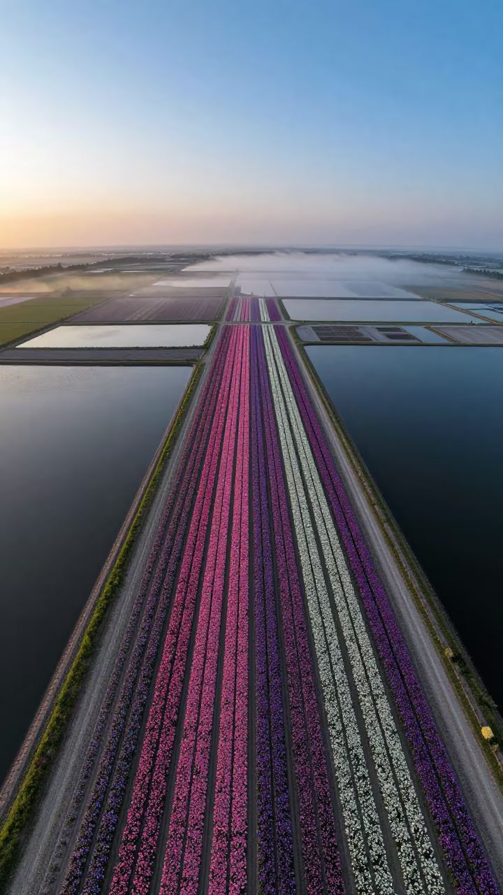
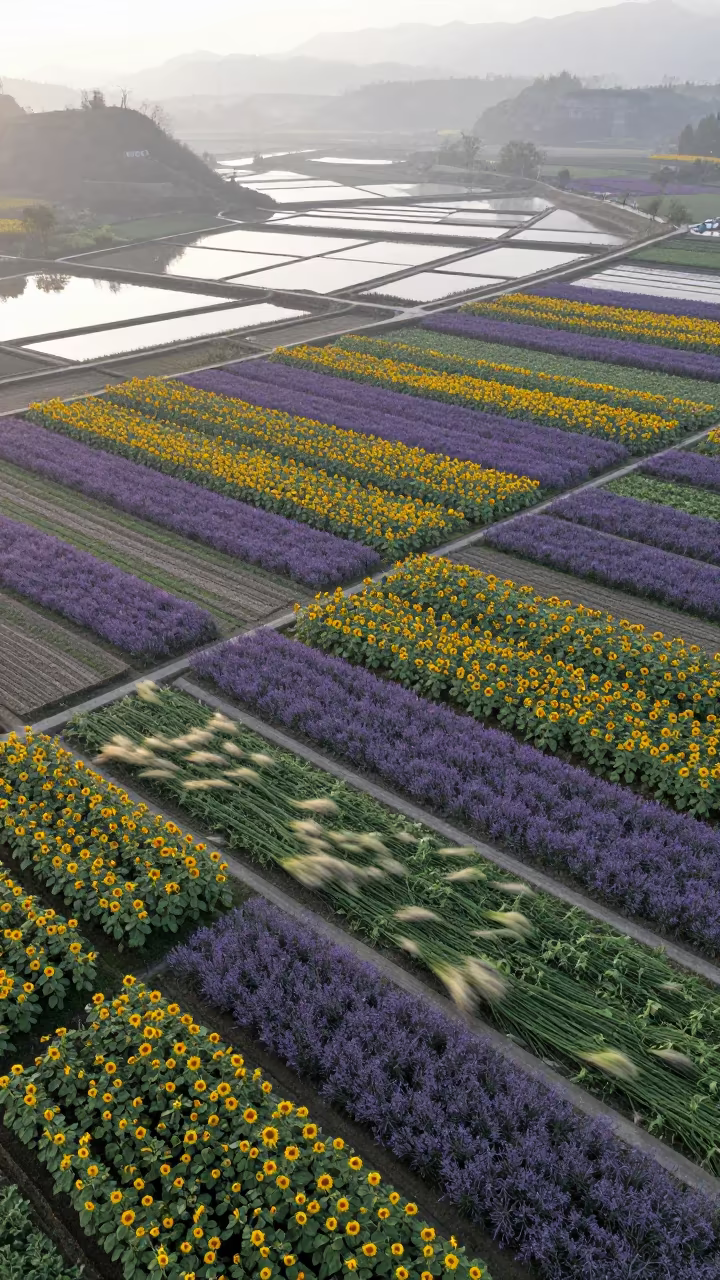
Aerial Flower Bands Over Salt Ponds at Blue Hour
Iranian Salt Marshes Aerial Sunset View
Aerial Salt Ponds Monsoon Bidar
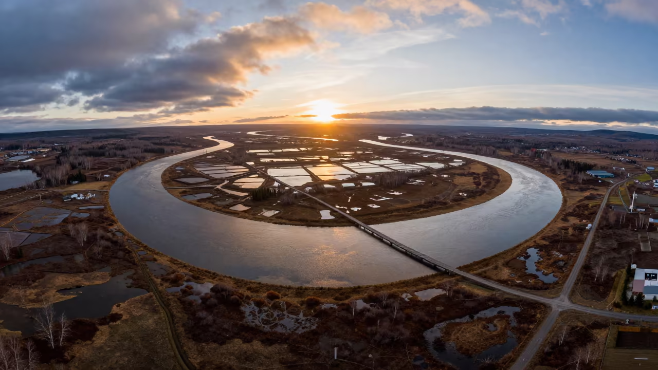
Aerial View of Kamchatka River Delta at Sunset
Aerial Rice Paddies Silk Road Evening Light
Indigo Twilight Salt Ponds Jiangsu Aerial View
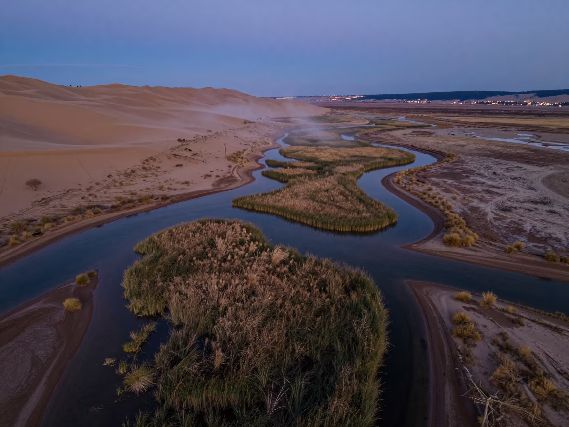
Aerial Braided Floodwaters Near Ahvaz at Dawn

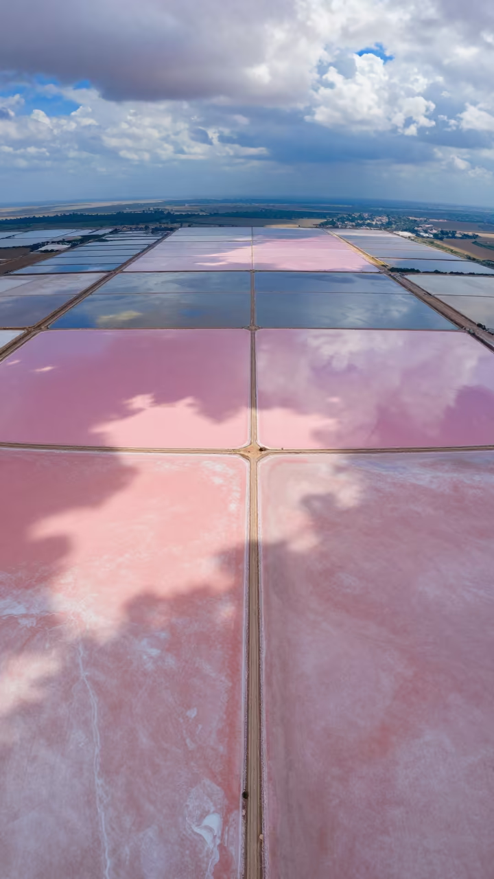
Aerial View of Pink Salt Ponds Near Quezon City
Aerial wetland channels in Idaho twilight
Comments