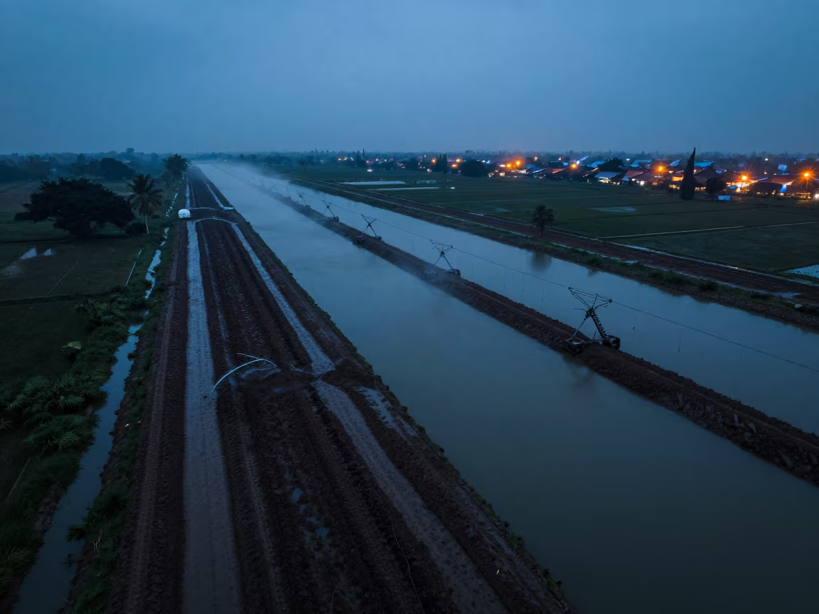
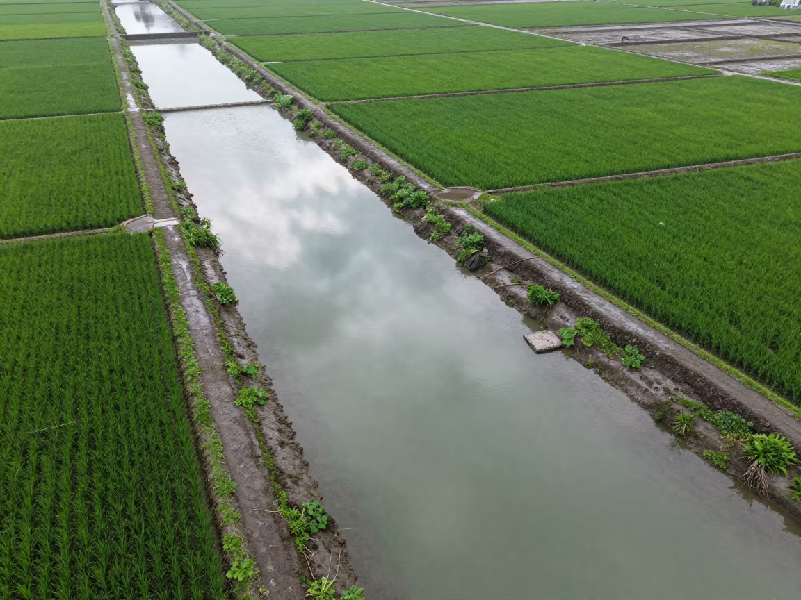
Surabaya Irrigation Canals Blue Hour Drone View
by Olivia Garza
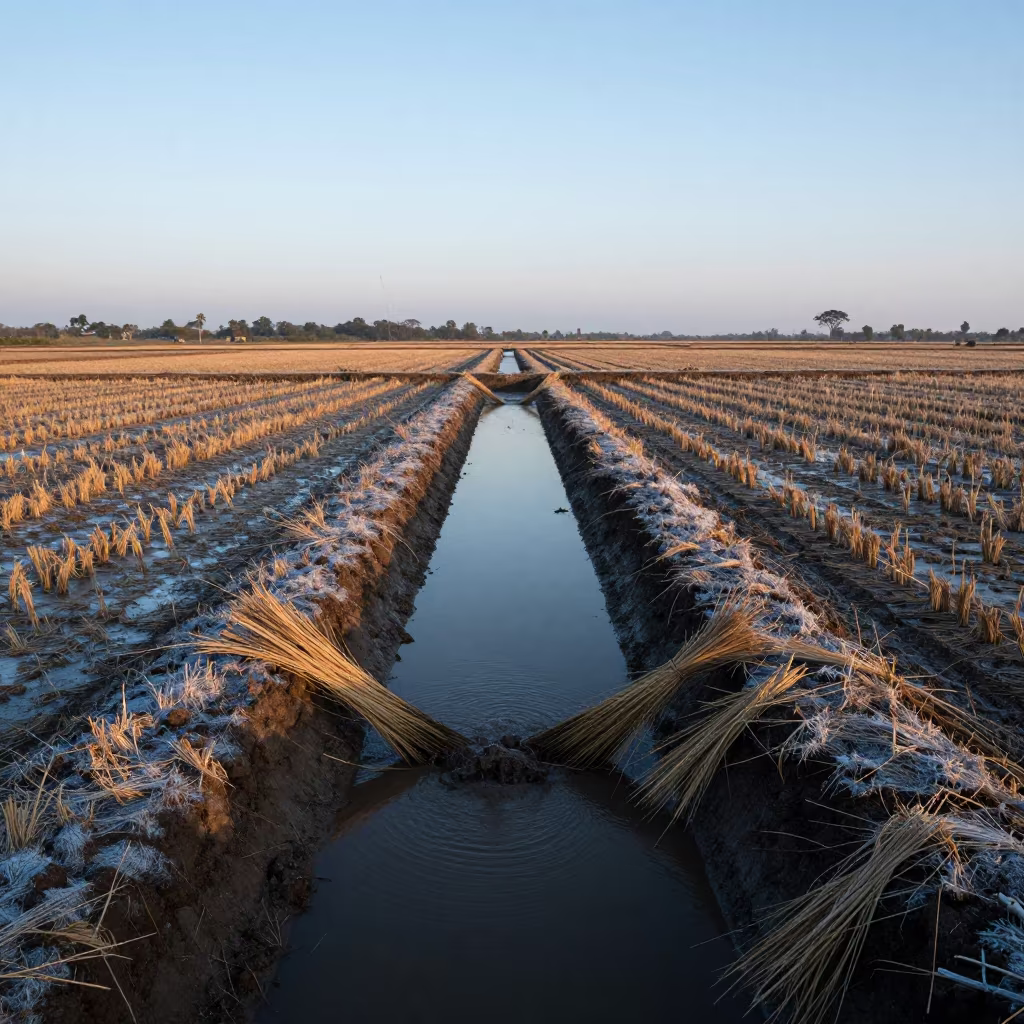
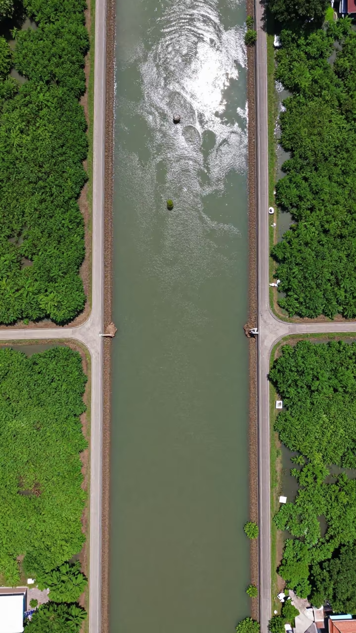
Dark, wet soil tracks run parallel to narrow irrigation canals reflecting the deep indigo sky. A light drizzle creates a fine mist over the water, breaking the surface with tiny ripples. The scene sits beside a tractor path in the Surabaya outskirts, where the earth absorbs the fading light. Distant town glow paints the horizon with a soft, hazy orange band, contrasting the cool blue tones of the monsoon sky. Mud glistens on the banks, and the canals form a geometric network cutting through the agricultural field. Water lines the edges of the soil, showing the practical layout of the drainage system under the heavy, wet air.
Free to download. CDN hosting requires a link back to this page. Terms
Similar Images
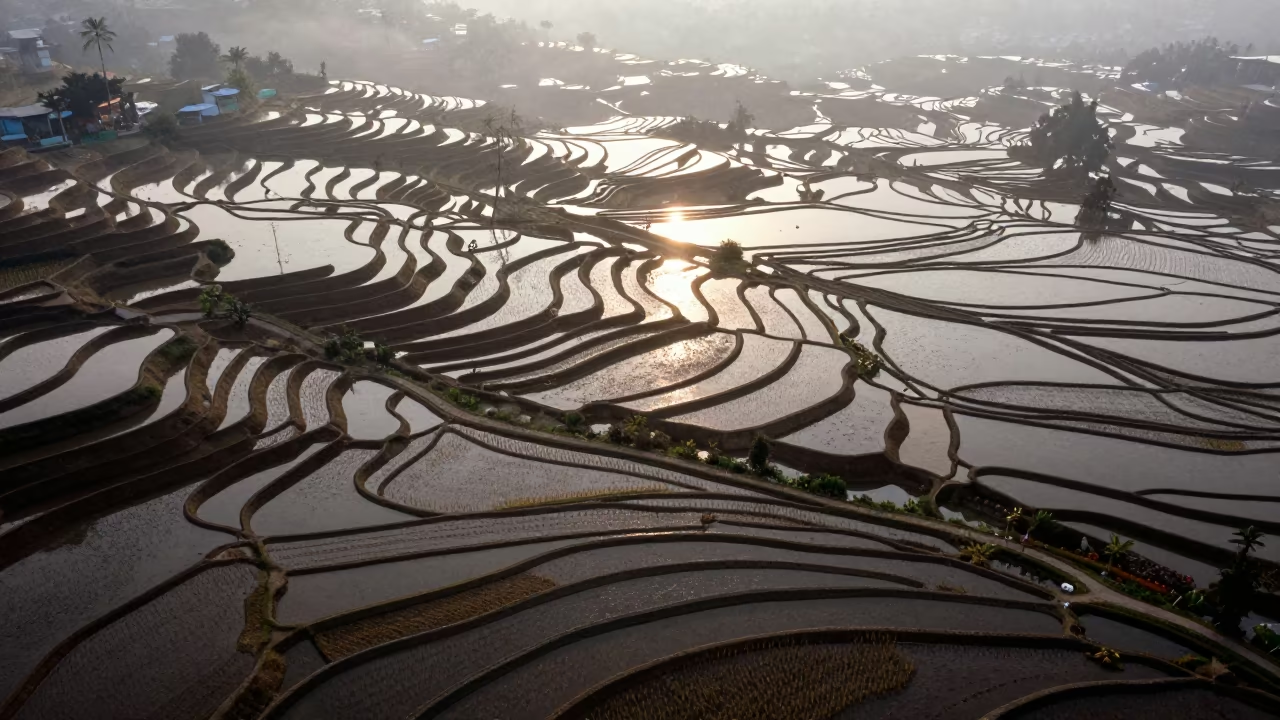
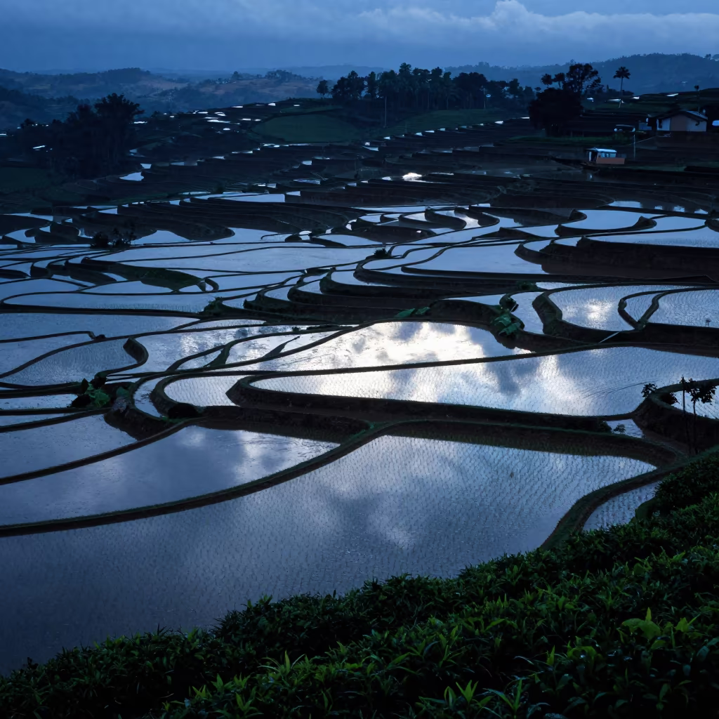
Blue Hour Irrigation Canals Above Rice Terraces
Jakarta Rice Paddy Canals Reflecting Blue Hour Sky
Aerial View of Old City Rooftops Near Braided River
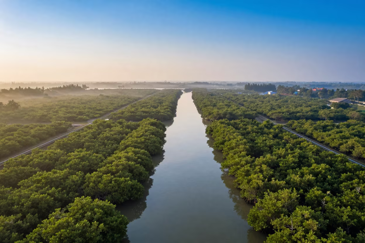
Dawn Mangrove Channels Aerial View Near Jakarta
Golden Hour Drone View of Singapore Mangrove Channels
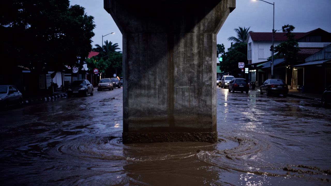
Street Scene in Surabaya at Blue Hour
Drone Over Salt Ponds Before Dusk
Aerial View of Rice Terraces at Dawn
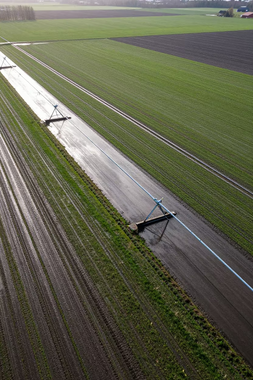
Aerial View of Swedish Irrigation After Rain
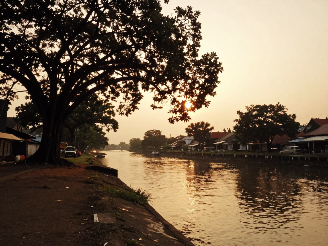
Honeyed Evening Light Over Surabaya Canal and Banyan Tree Roots
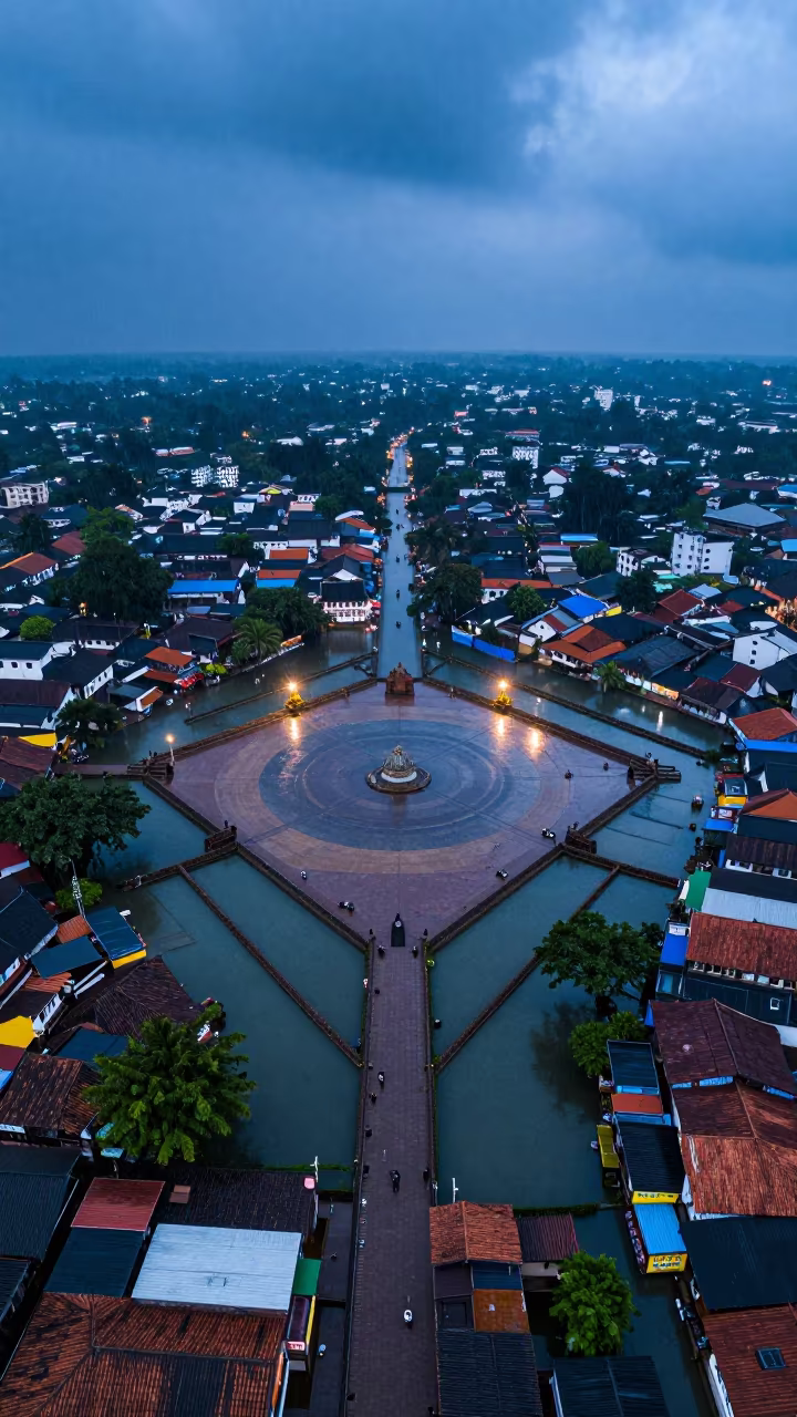
Chennai Town Aerial View Monsoon Blue Hour
Aerial River Through Uzbek Marshlands at Blue Hour
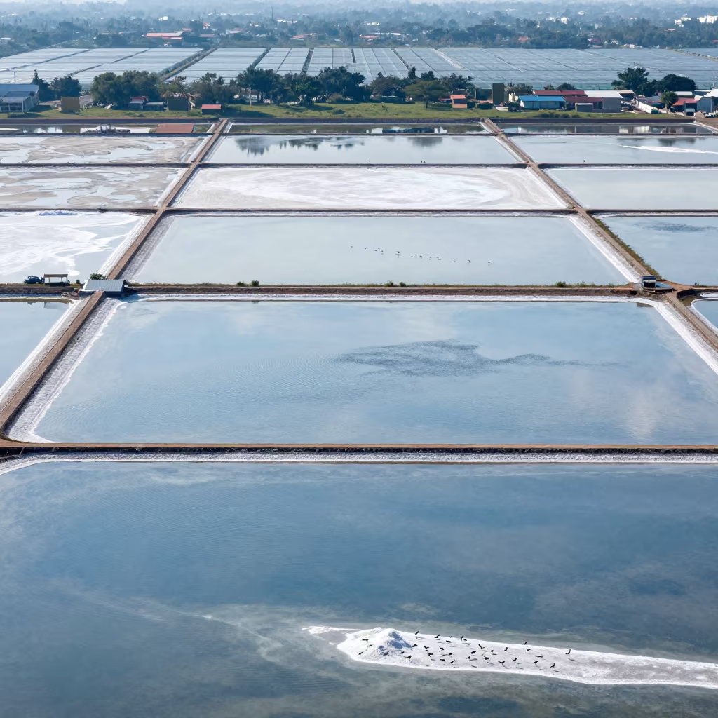
Aerial Salt Ponds Greenhouse District 3
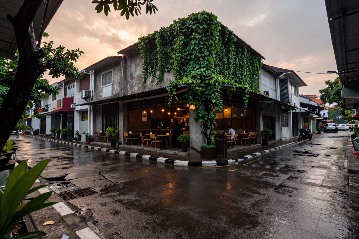
Rain-Slicked Lane and Ivy in Sunset Surabaya
Aerial Road Network Over Salt Ponds Ambato Wet Season
Irrigation Canals Before Sunrise in Tanzanian Rice Fields
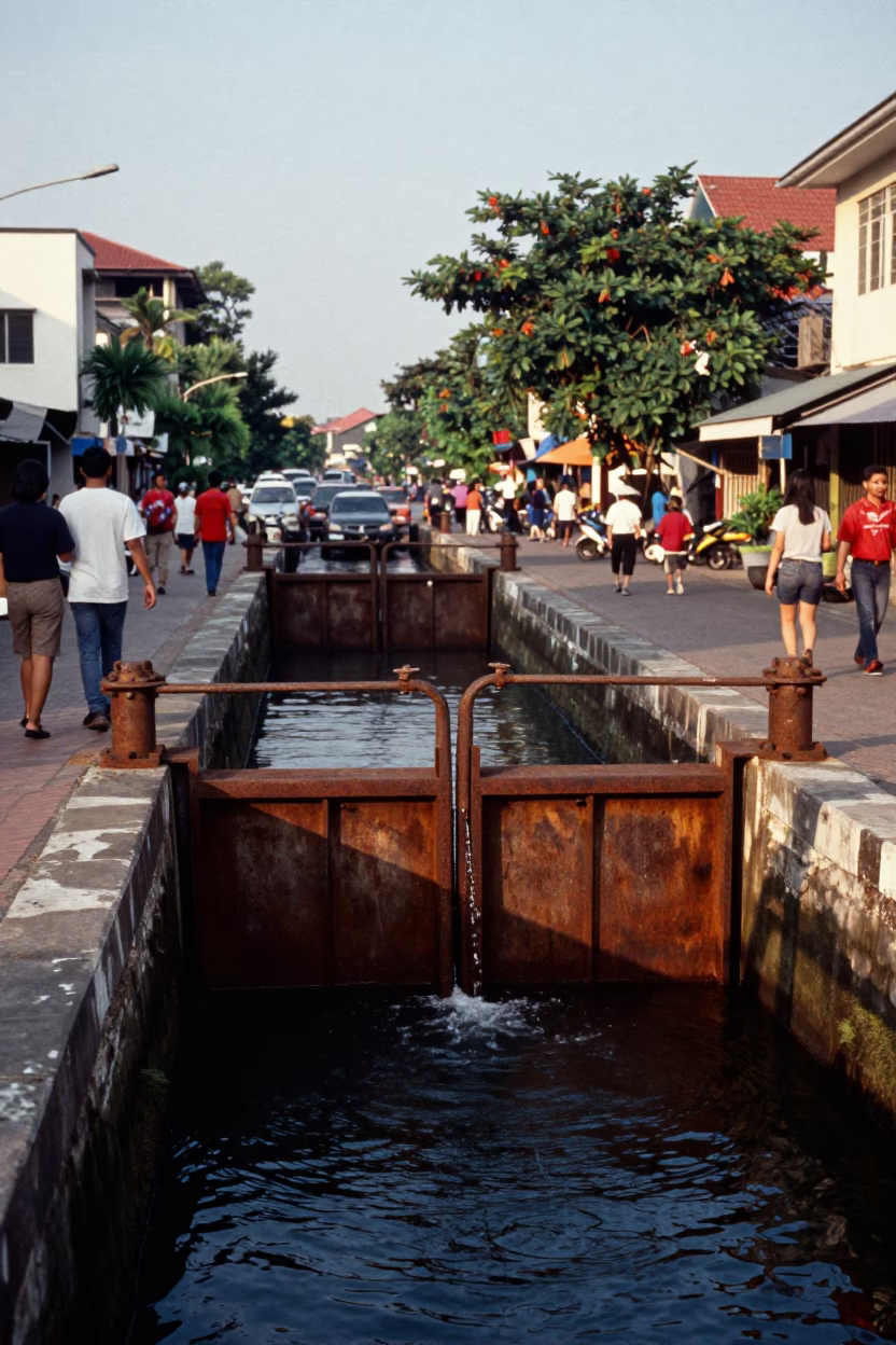
Surabaya Indonesia Late Afternoon Street Scene with Sluice Gate and Muddy Canal
Blue Hour Flyover Ramp Drainage Channels

Rice Terraces Over Braided River Channels
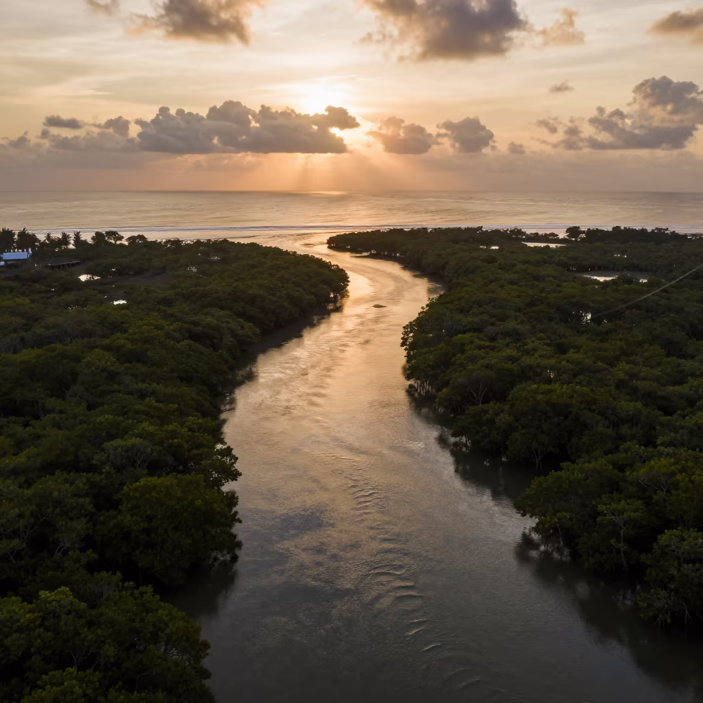
Aerial Braided Delta Meeting Sea at Blue Hour
Aerial View of Irrigation Channels Near Bangkok
Silhouetted Rice Paddies Reflecting Sunset Clouds
Rice Terraces Aerial View Rainy Season Steel Blue Light
Indigo Twilight Salt Ponds Jiangsu Aerial View
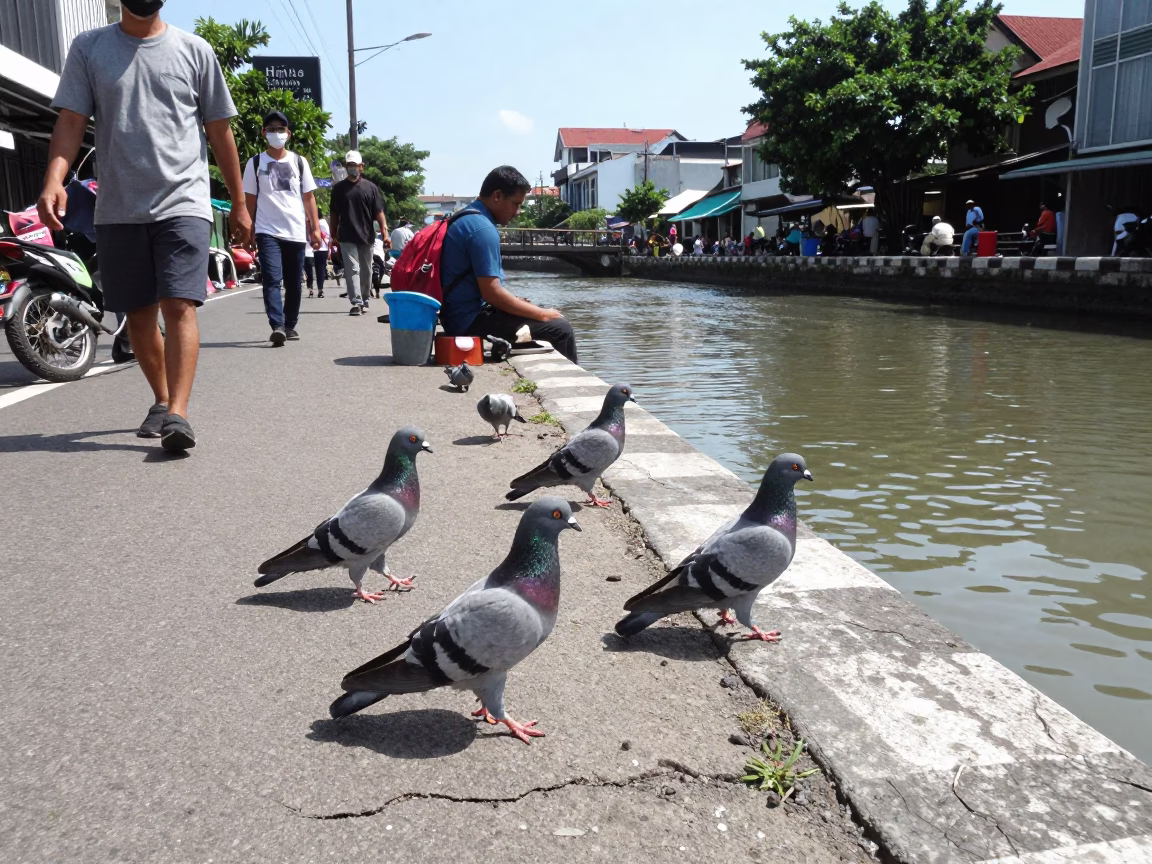
Surabaya Indonesia Noon Street Scene with Pigeons and Canal Edge
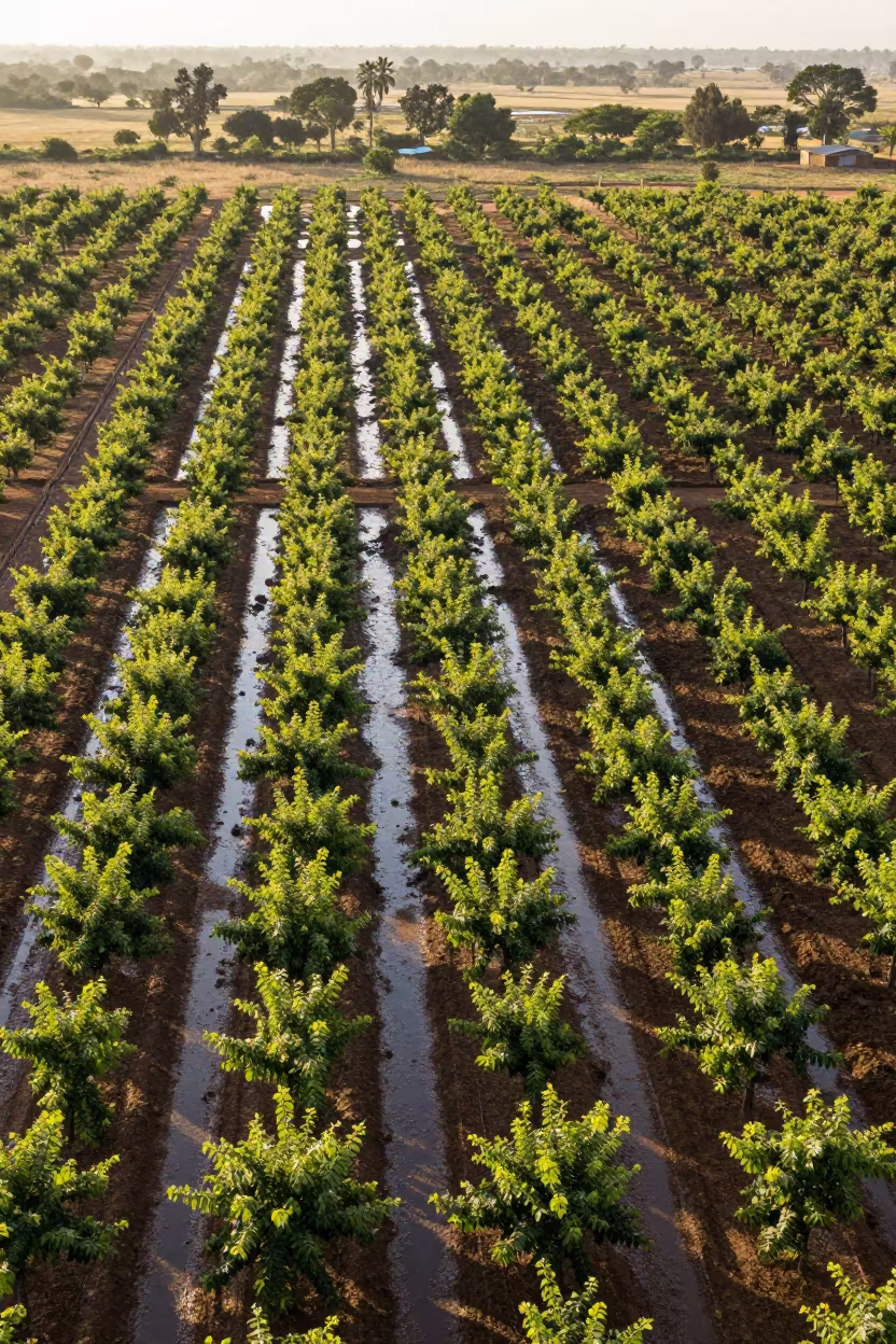
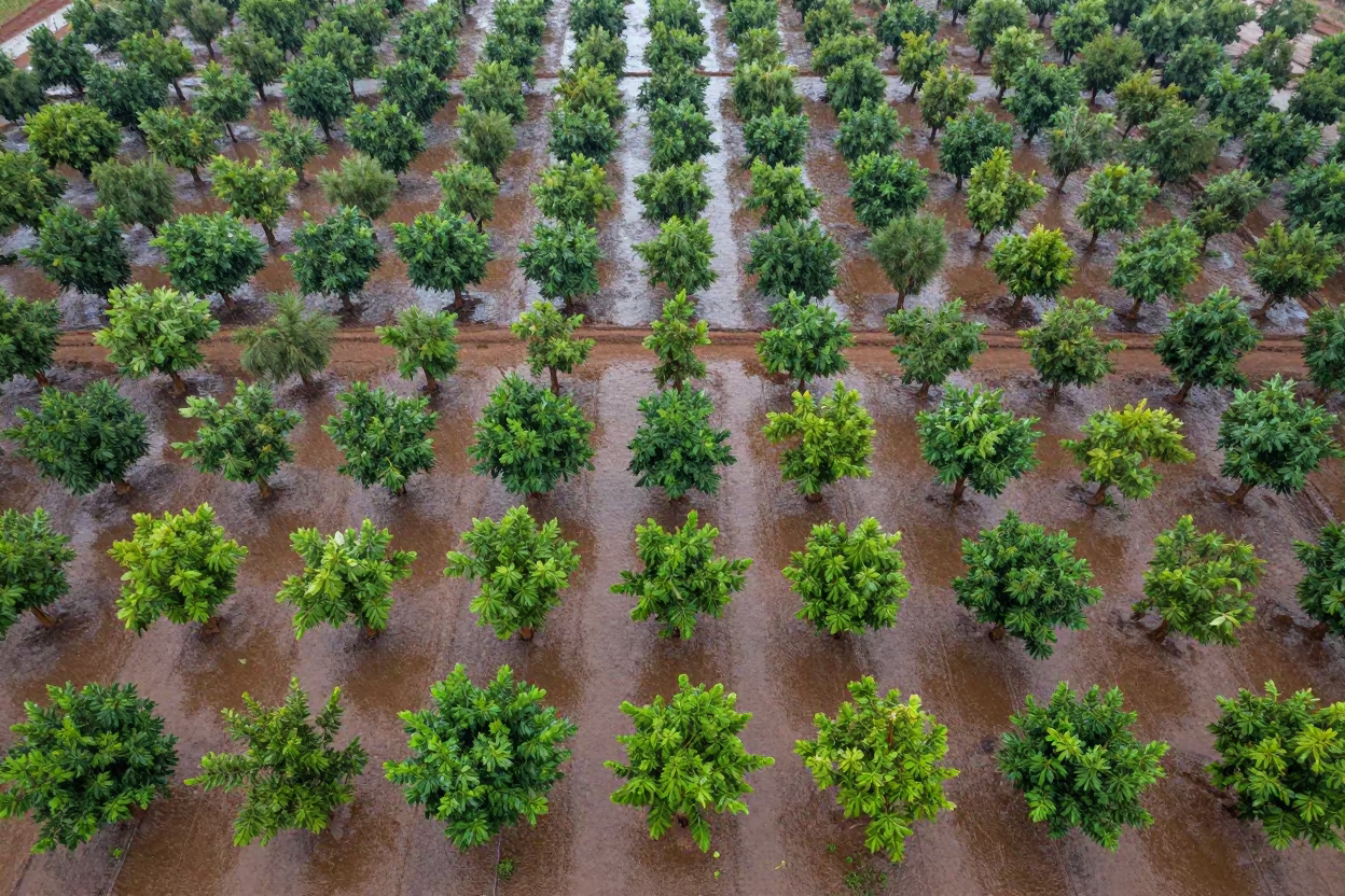
Aerial Orchard Grids at Dutse Dawn
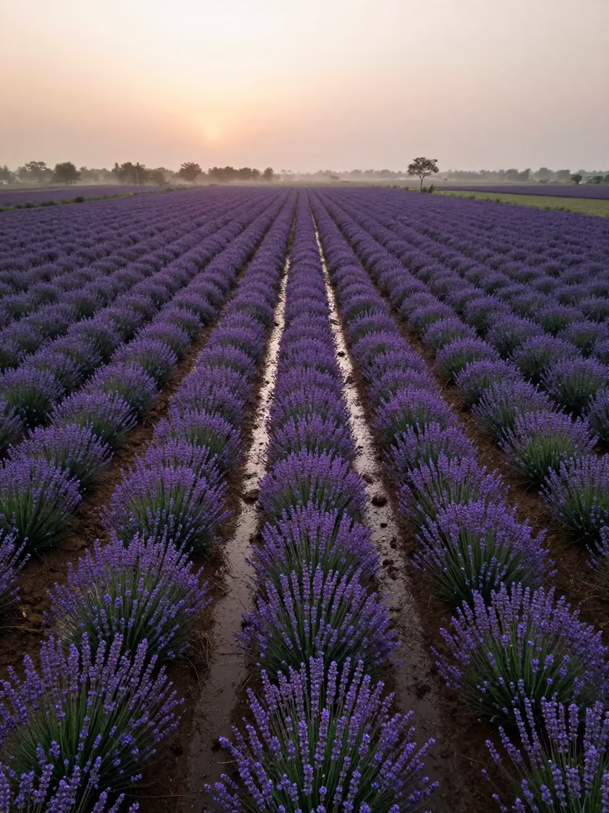
Aerial Lavender Fields India Rainy Season
Blue Hour Flooded Rice Terraces Brazil
Aerial View of Taiwan Irrigation Canals at Low Tide
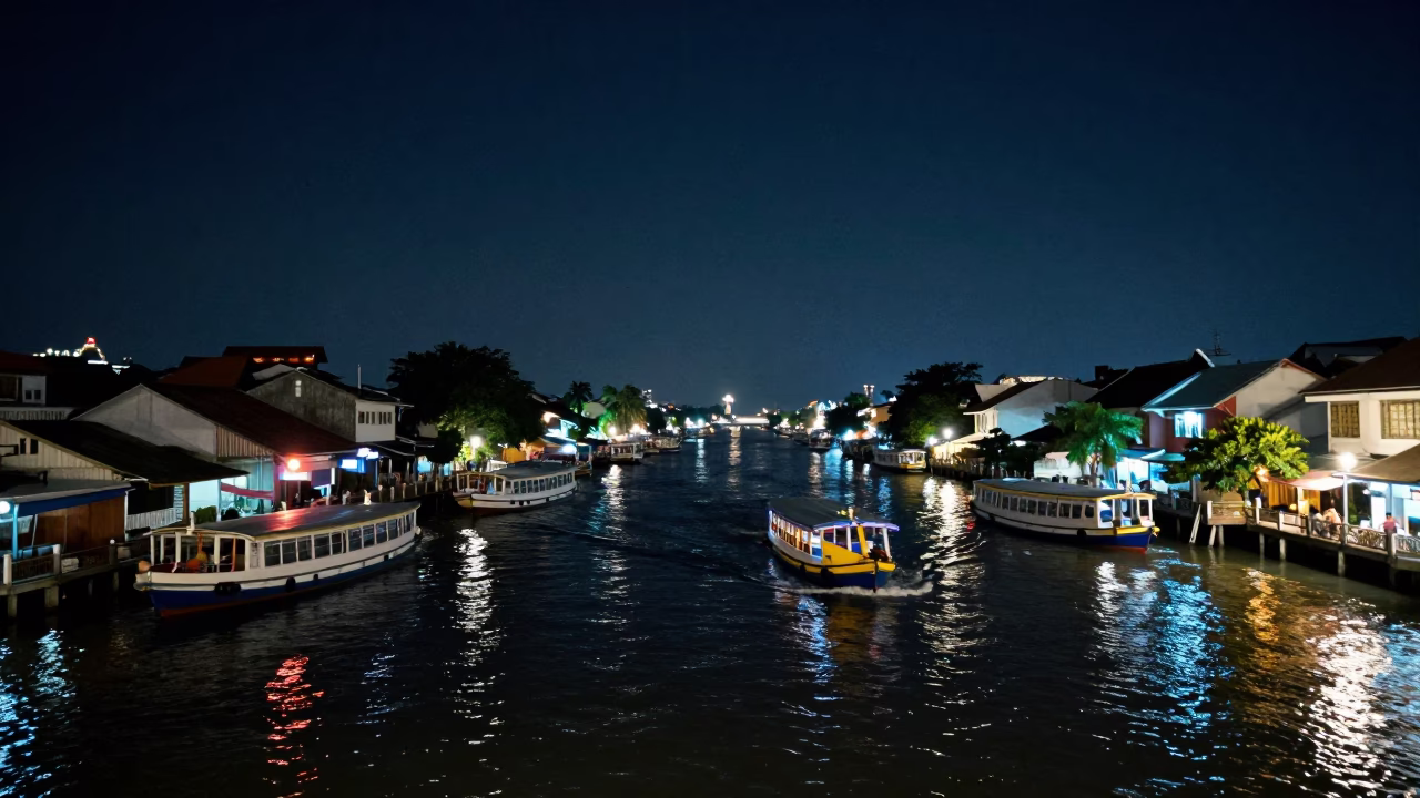
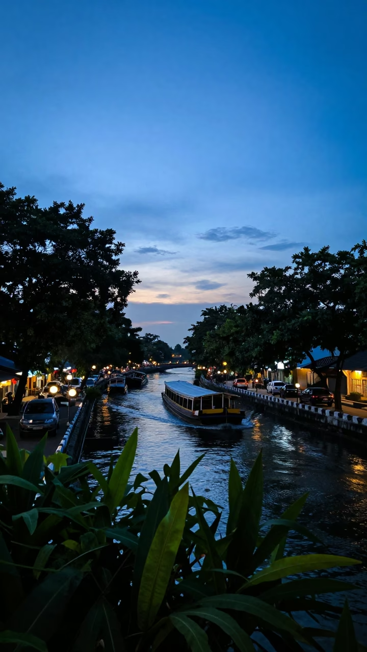
Surabaya Indonesia Night Street Scene with Water Taxi and Canal Houseboats Under Deep Sky
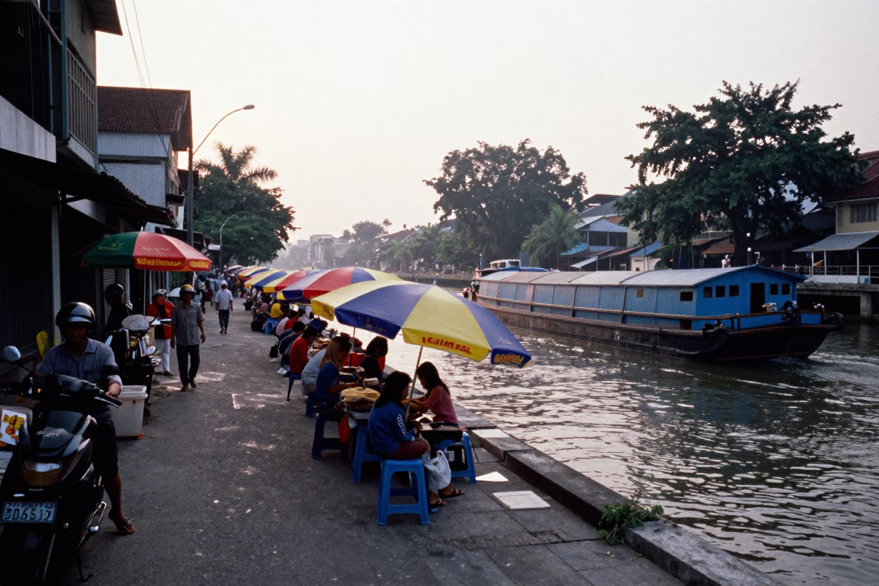
Street Scene just after sunrise in Surabaya
Irrigation Canal Reflected Palms Busan Floodplain
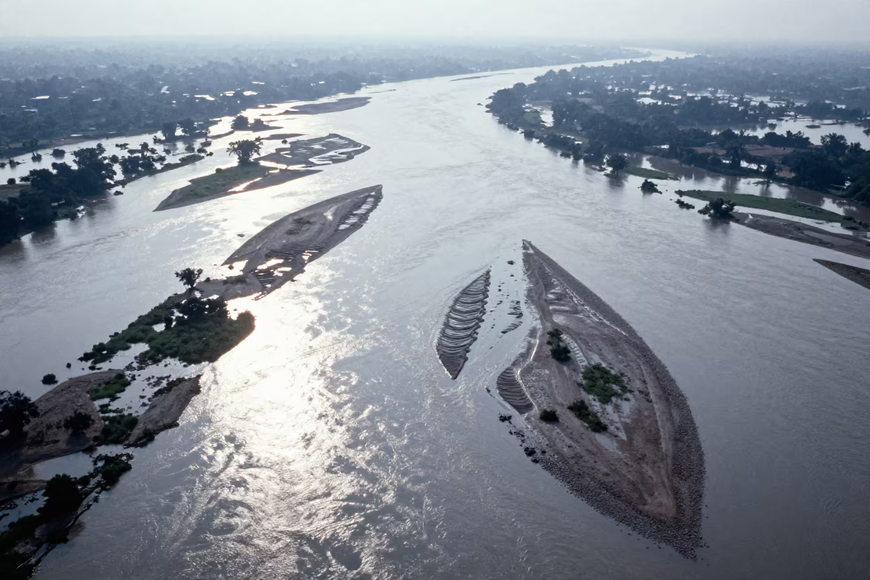
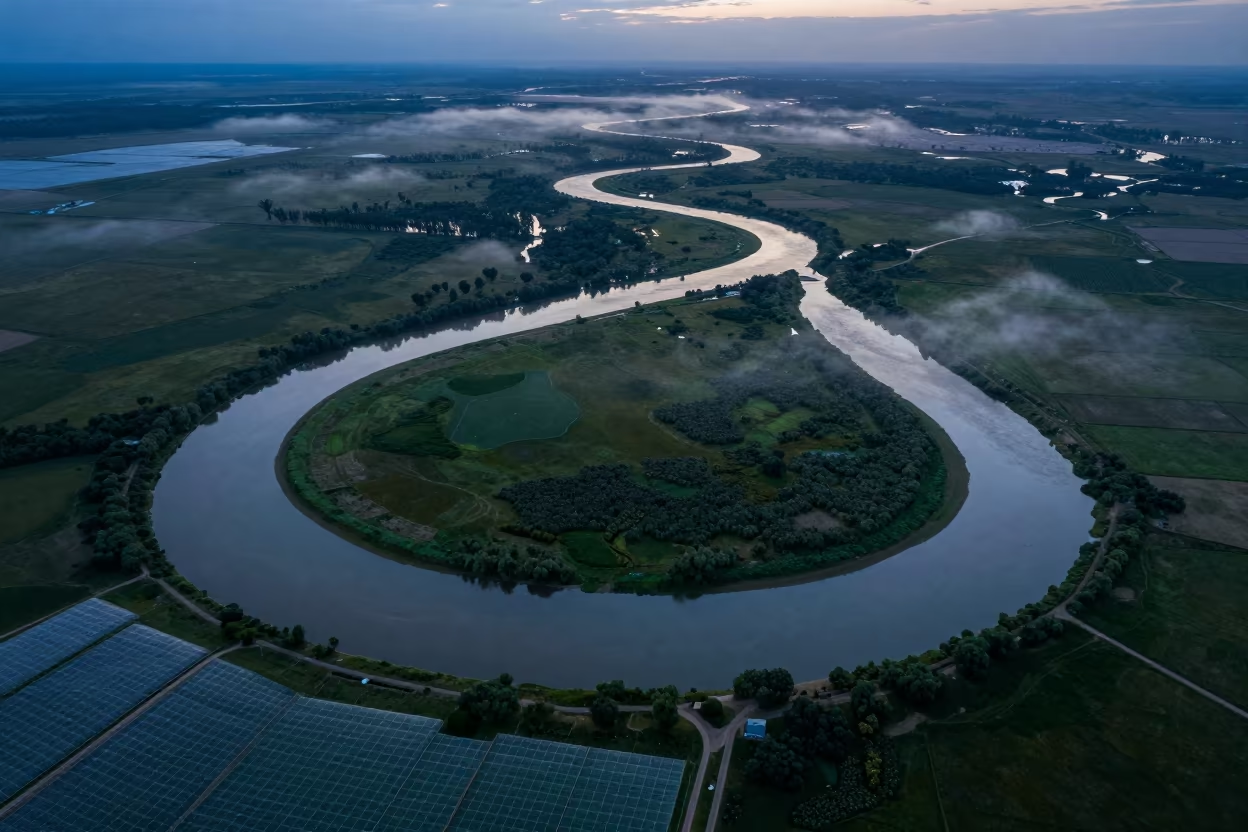
Aerial Braided River Islands Silver Water
Irrigation Canals Silhouetted in Late Afternoon Light
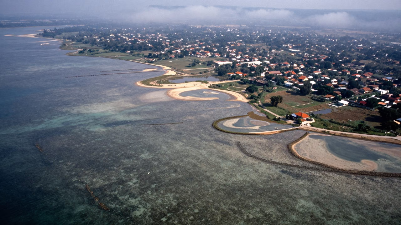
Aerial View of Reef Shallows and Drainage Lines
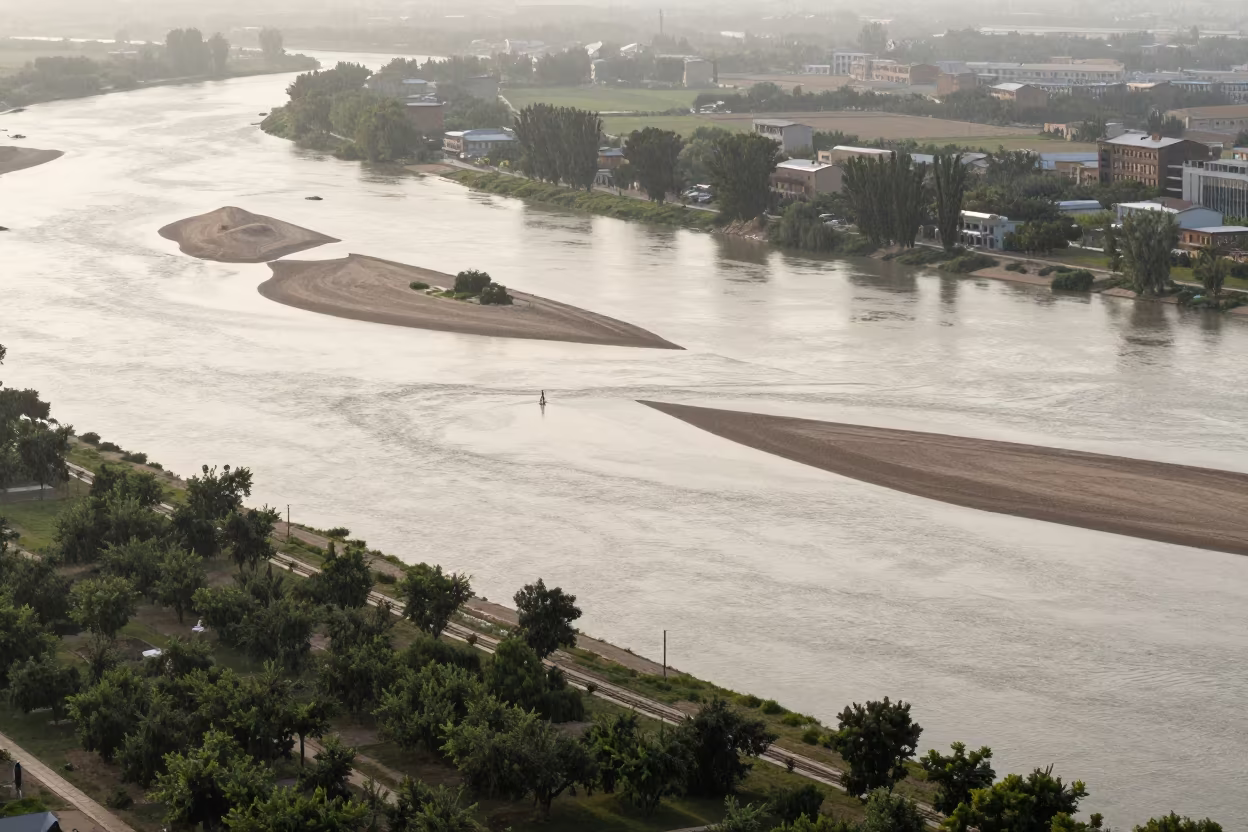
Aerial River View with Sandbars and Islands Near Mosul
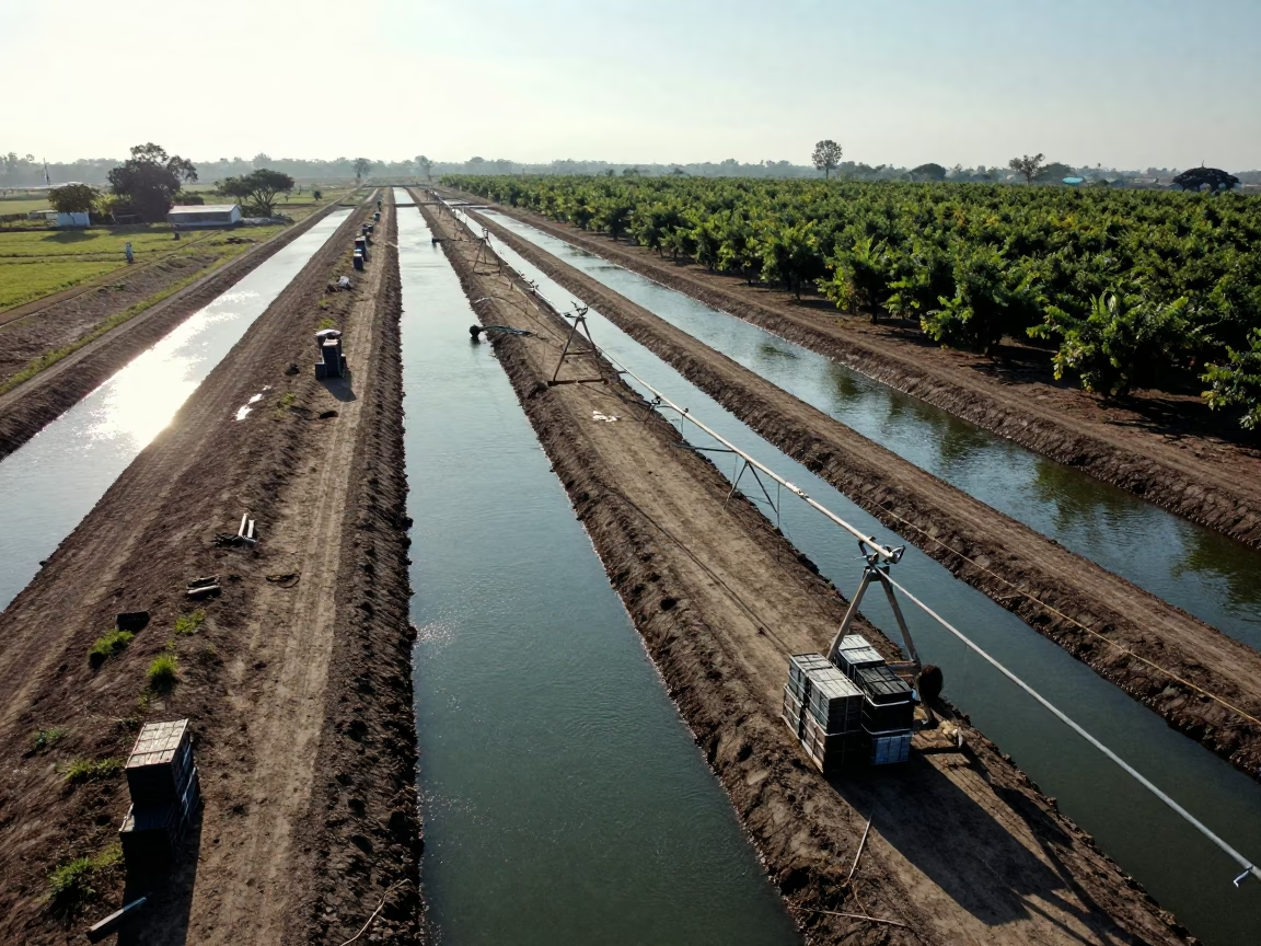
Aerial View of Mali Orchards in Rainy Season
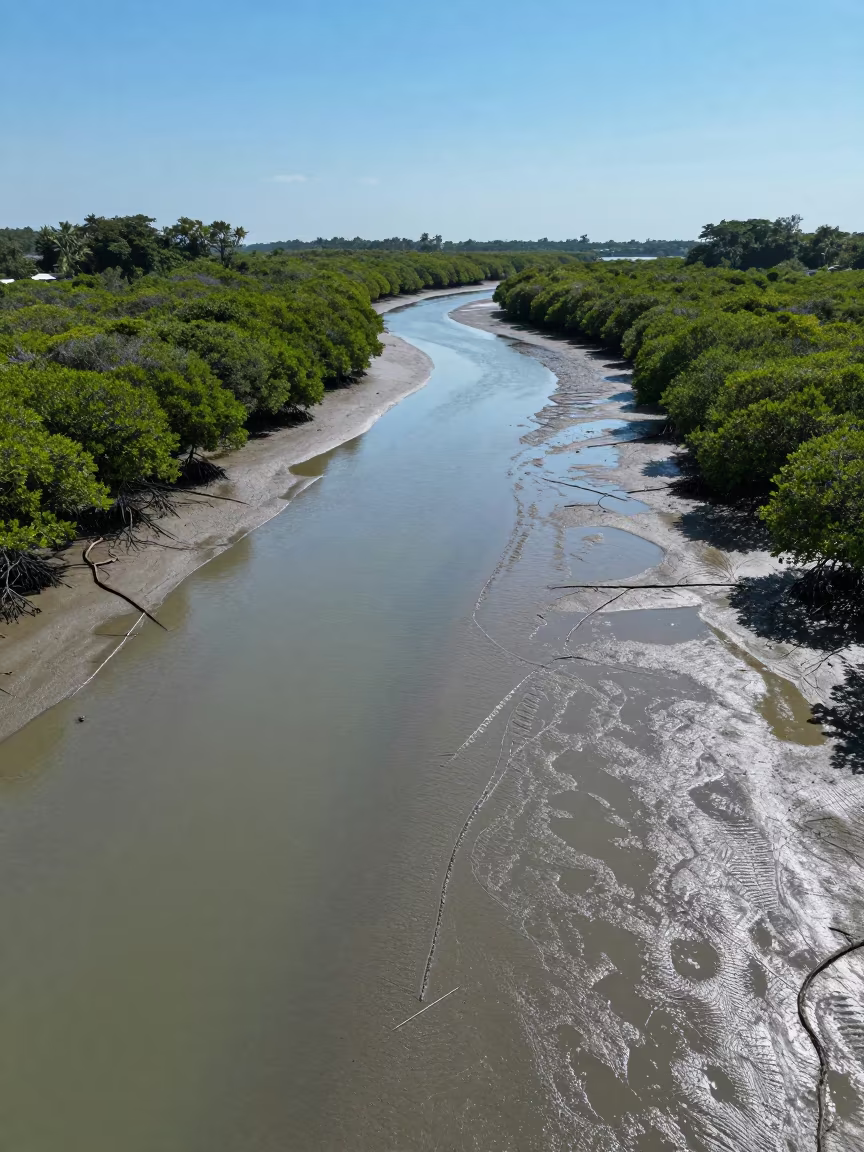
Aerial Mangrove Veins Over Singapore Mudflats
Comments