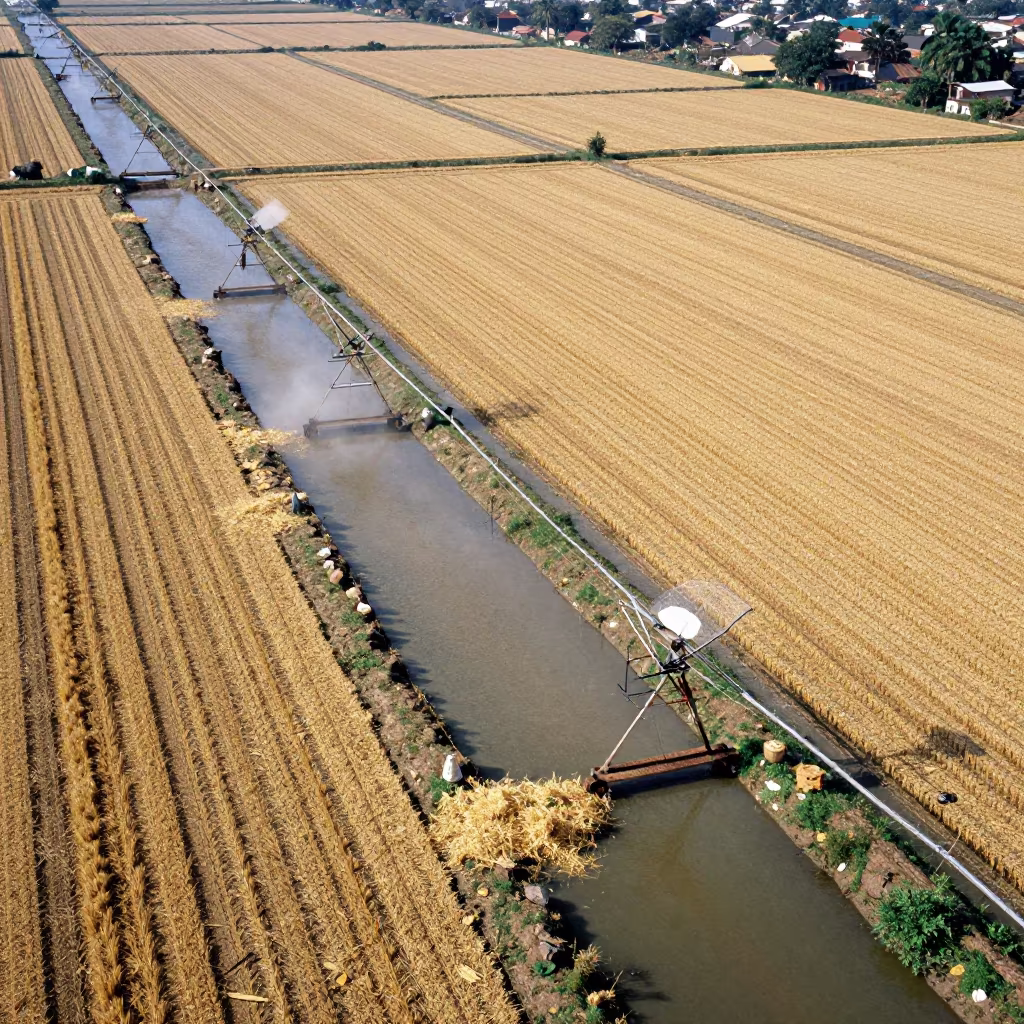
Aerial View of Irrigation Canals in Jashore
by Carl Puckett
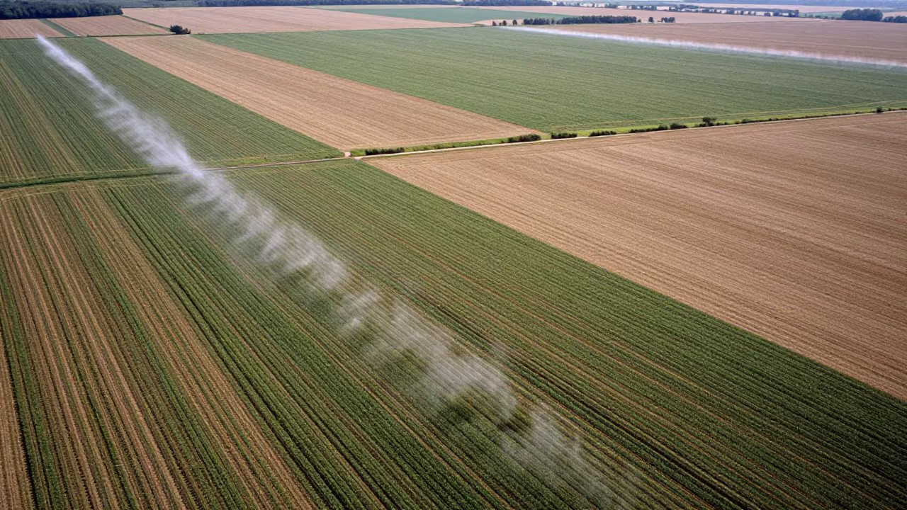
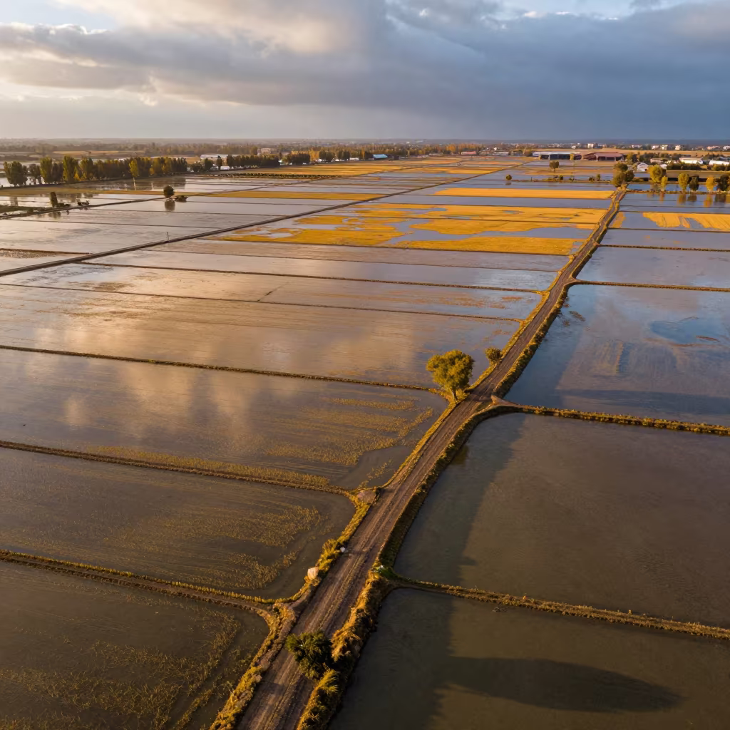
Bright midmorning sun floods a vast harvested grain field near Jashore, illuminating a precise network of irrigation canals carved into the earth. The water reflects the clear sky, creating sharp, linear contrasts against the dry, golden stubble. Fine chaff and dust drift through the air, catching the light in suspended particles that soften the harsh edges of the furrows. The canals stretch from the foreground into the distance, their muddy banks defining the geometric rhythm of the agricultural landscape. Along the water's edge, small ripples disturb the surface, while the surrounding soil shows the rough texture of recent harvest activity. The scene ends with the sharp line where the wet canal meets the dry, dusty field.
Free to download. CDN hosting requires a link back to this page. Terms
Similar Images
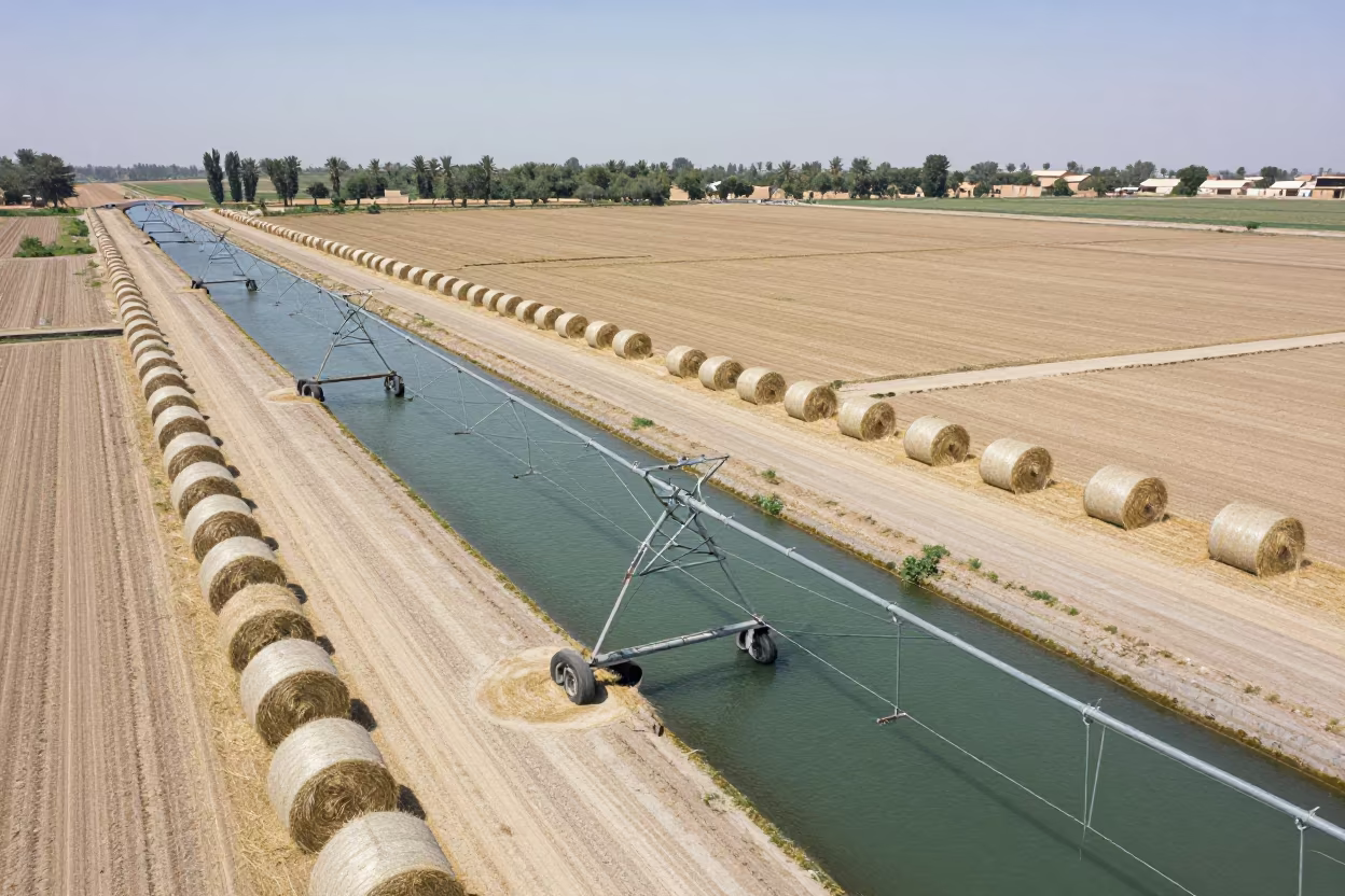
Aerial View of Irrigation Canals in Iran
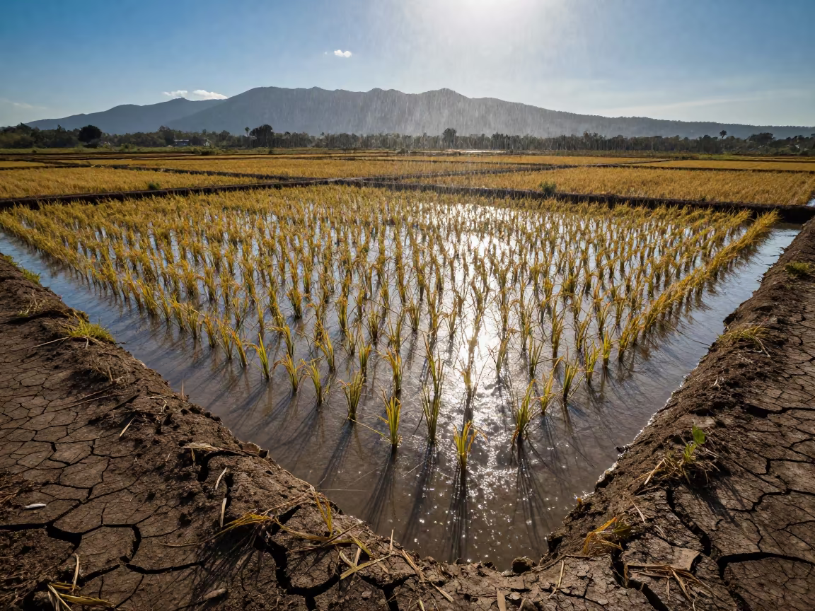
Irrigation Canals Before Sunrise in Tanzanian Rice Fields
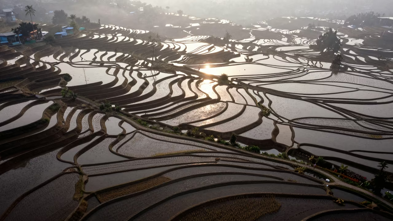
Aerial Dawn Over Irrigated Rice Terraces in Goa
Aerial View of Rice Terraces at Dawn
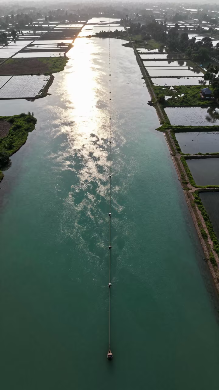
Jade Lagoon Irrigation Geometry Aerial View
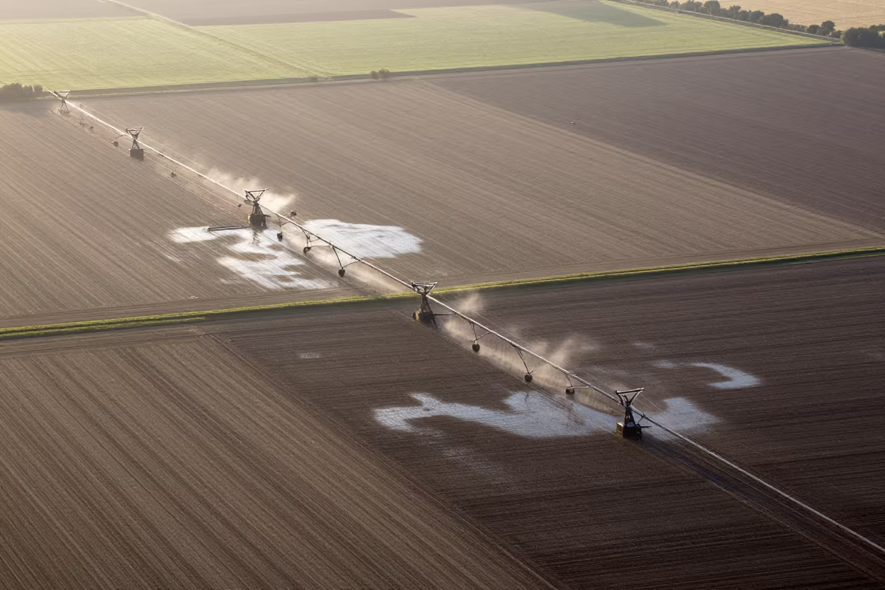
Aerial Kansas Farmland Irrigated Rows
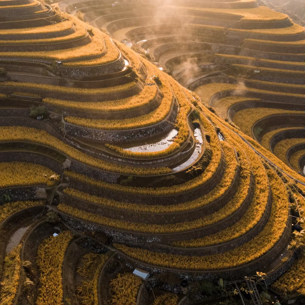
Aerial View of Autumn Rice Terraces in Jiangsu
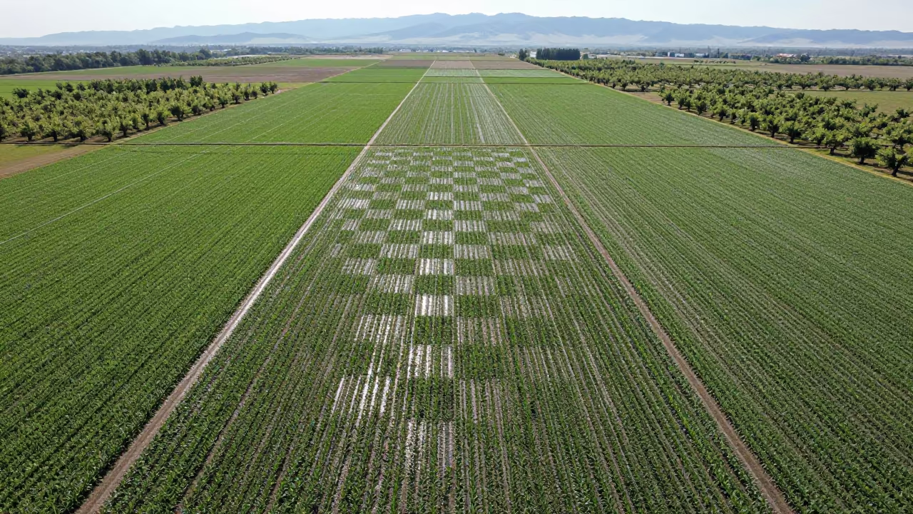
Aerial View of Corn and Soybean Fields in Anand
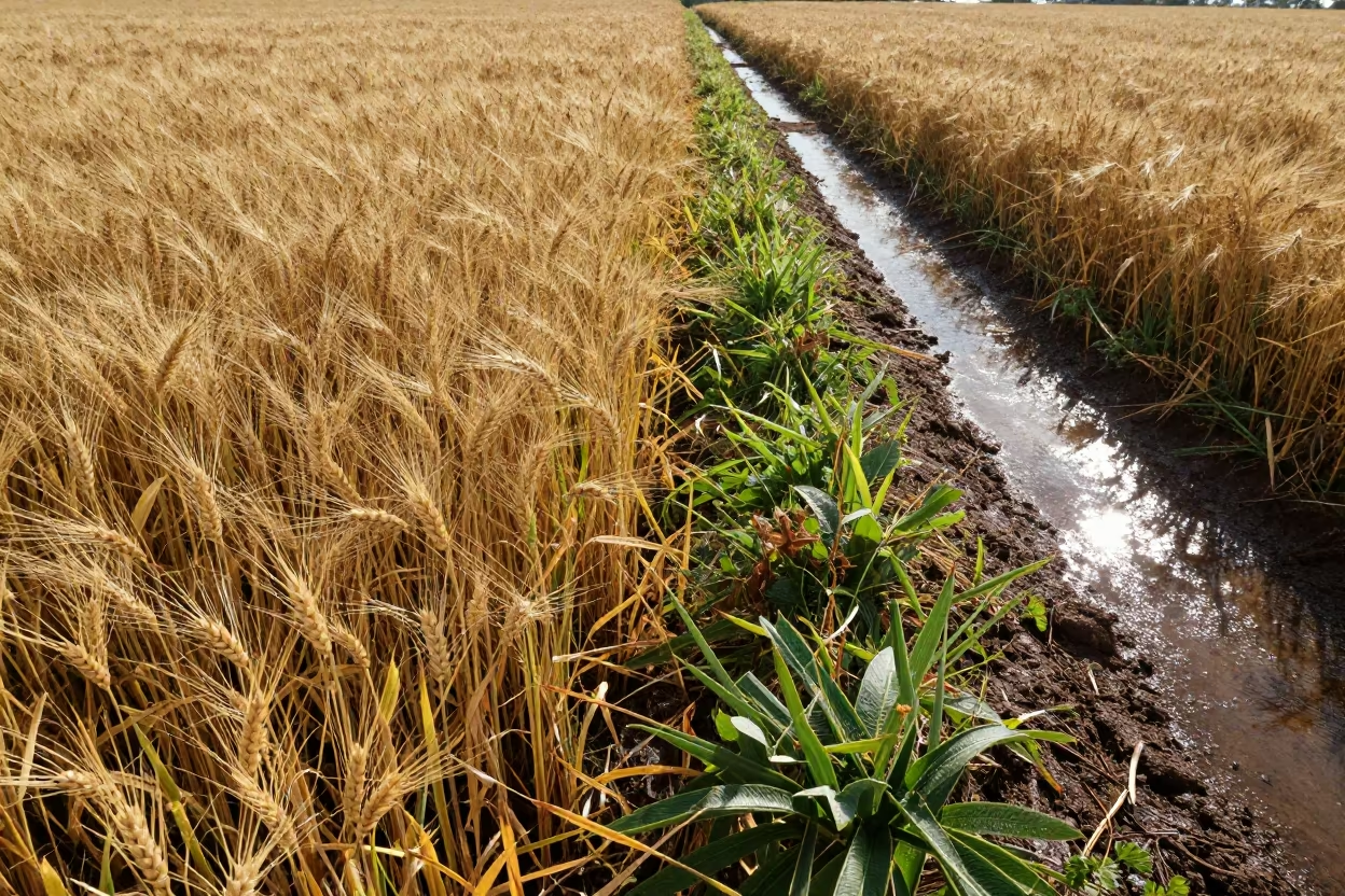
Brazilian Wheat Field Irrigation Ditch After Rain
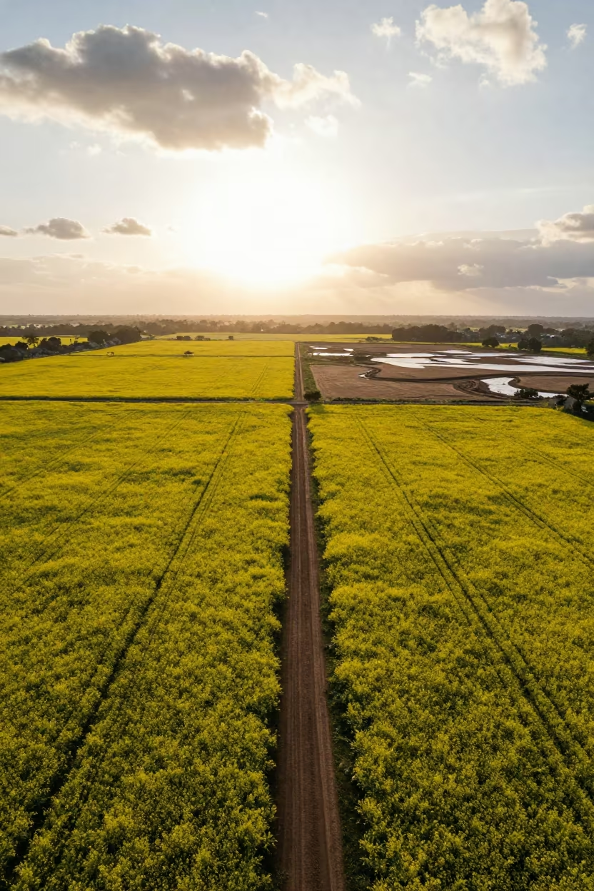
Mustard Fields Aerial View Golden Hour Silhouette

Rice Terraces Over Braided River Channels
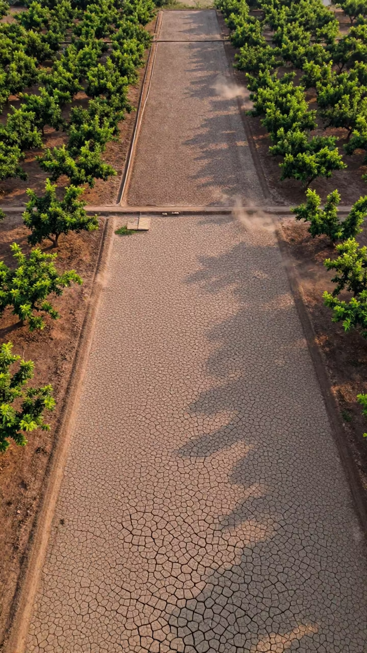
Cracked Mud Patterns Over Cambodian Orchards
Aerial View of Irrigation Patterns Near Chelmsford
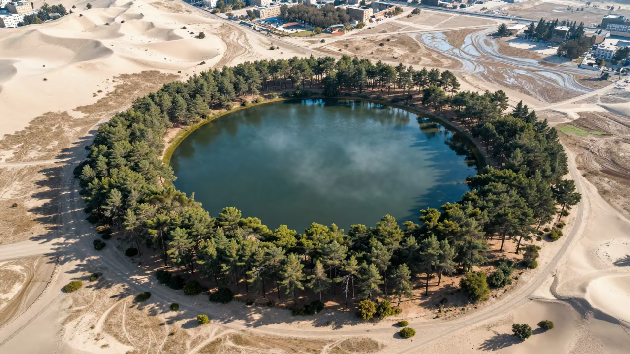
Aerial View of Forest Lake Amidst Conifers
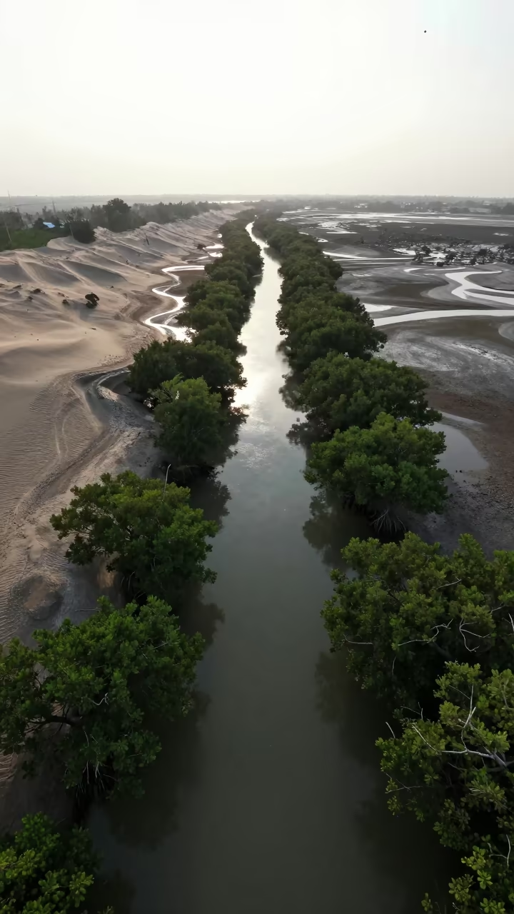
Silhouetted Mangrove Channels Jakarta Dune Fields

Golden River Delta Aerial View San Juan
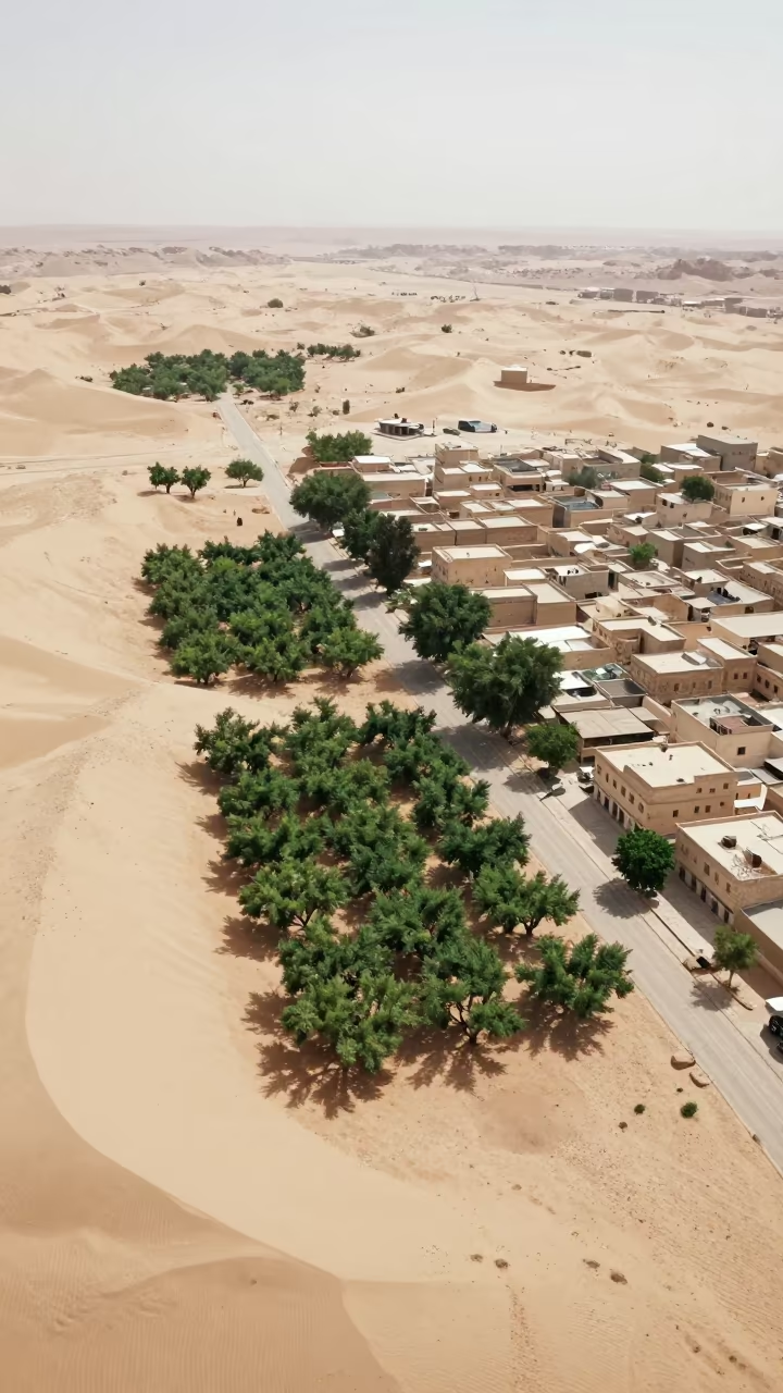
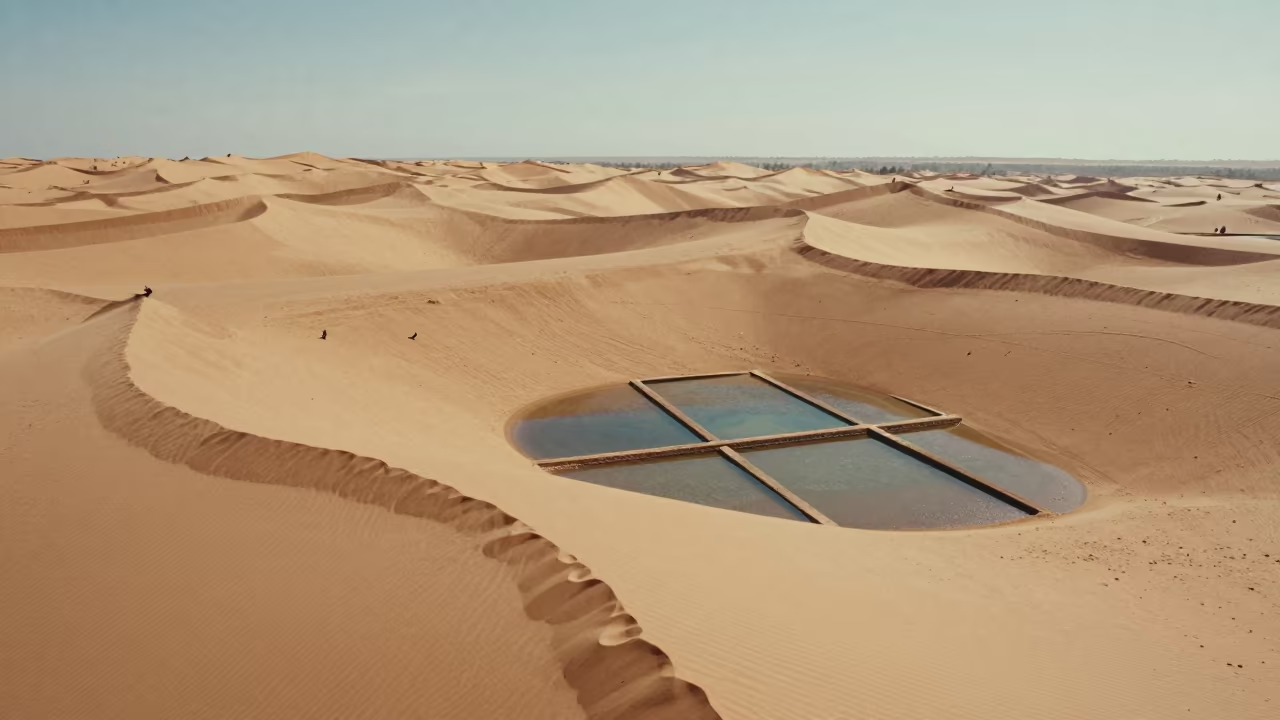
Aerial Oasis Town Amidst Dunes and Irrigation Lines
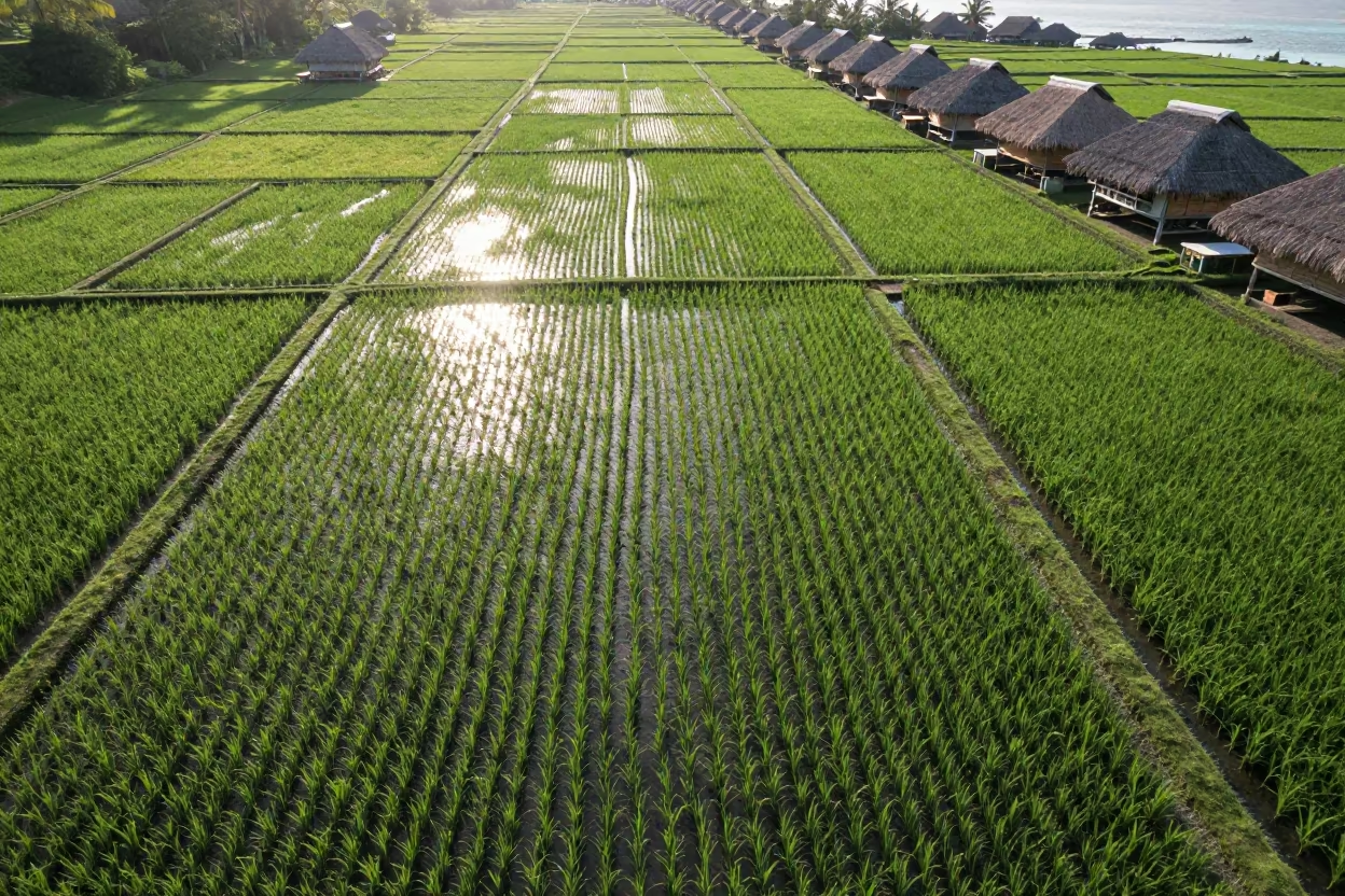
Aerial View of Maldives Rice Paddies
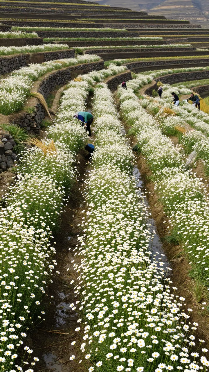
Chamomile Harvest Among Terraced Rice Paddies
Jakarta Rice Paddy Canals Reflecting Blue Hour Sky
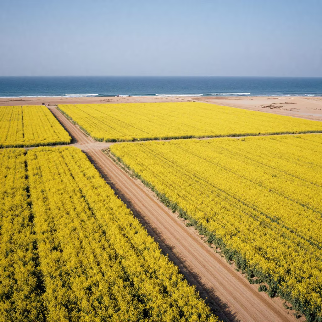
Mustard Fields and Tracks Near Jeddah Coast
Rice Paddies Reflecting Sky After Sun Shower
Bird's Eye View Flooded Rice Terraces Philippines
Aerial Morocco Sand Dunes Noon Shadows
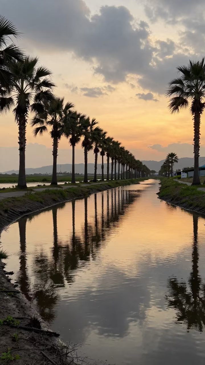
Irrigation Canal Reflected Palms Busan Floodplain
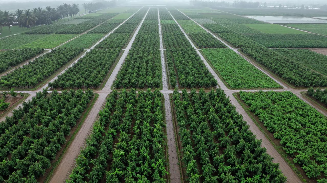
Monsoon Orchard Patterns Above Kamsar
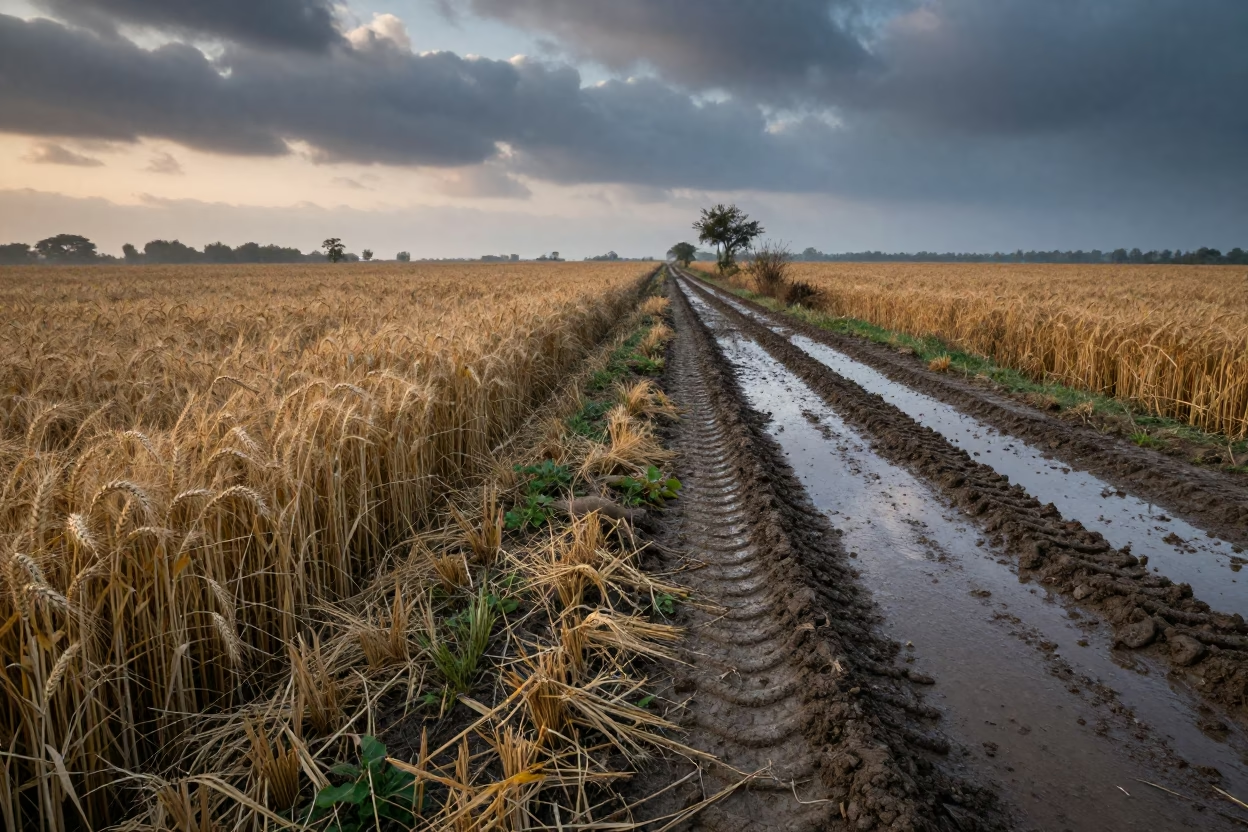
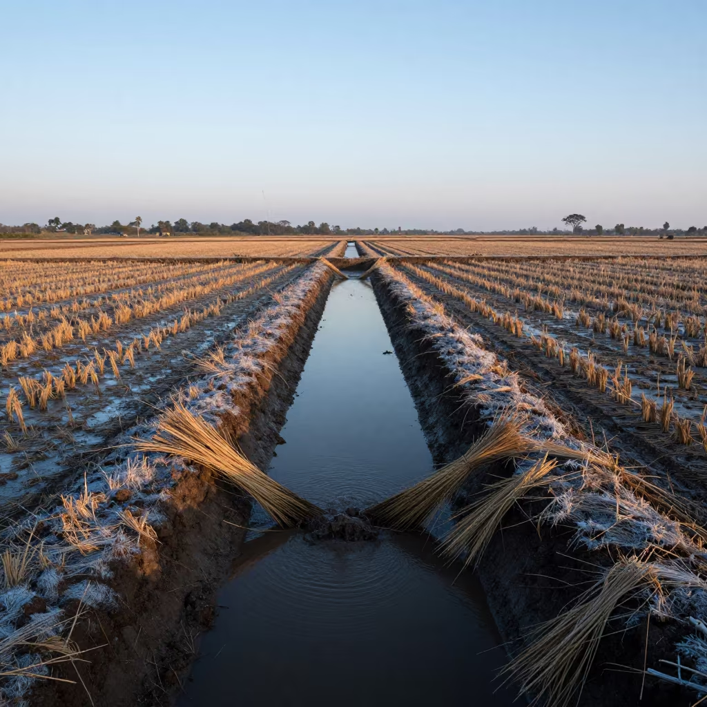
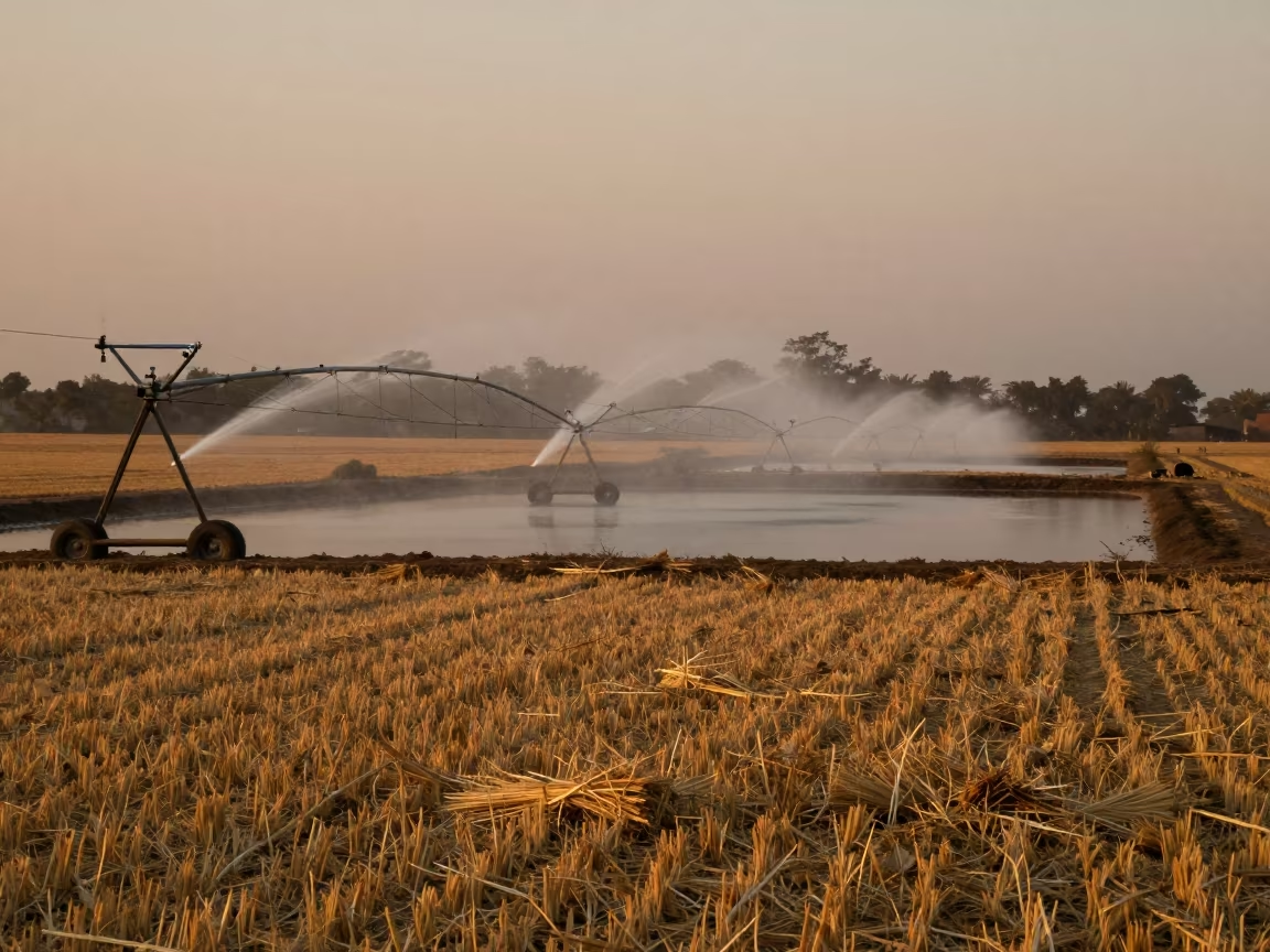
Wheat Field Irrigation Ditch Dawn Ghazipur
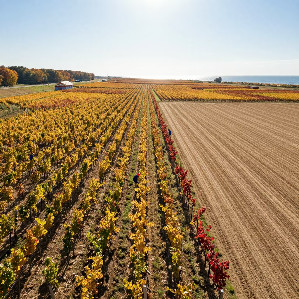
Autumn Vineyard Patchwork Near Changchun
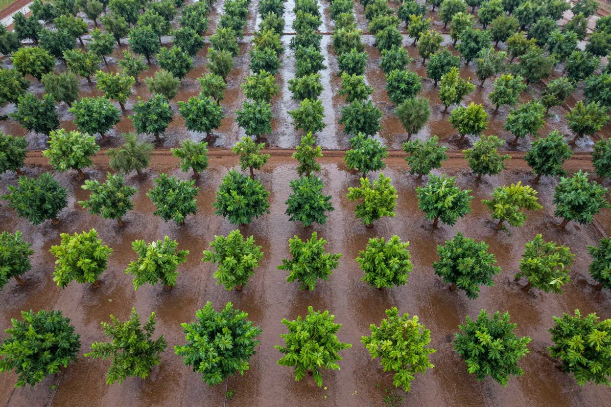
Aerial View of Mali Orchards in Rainy Season
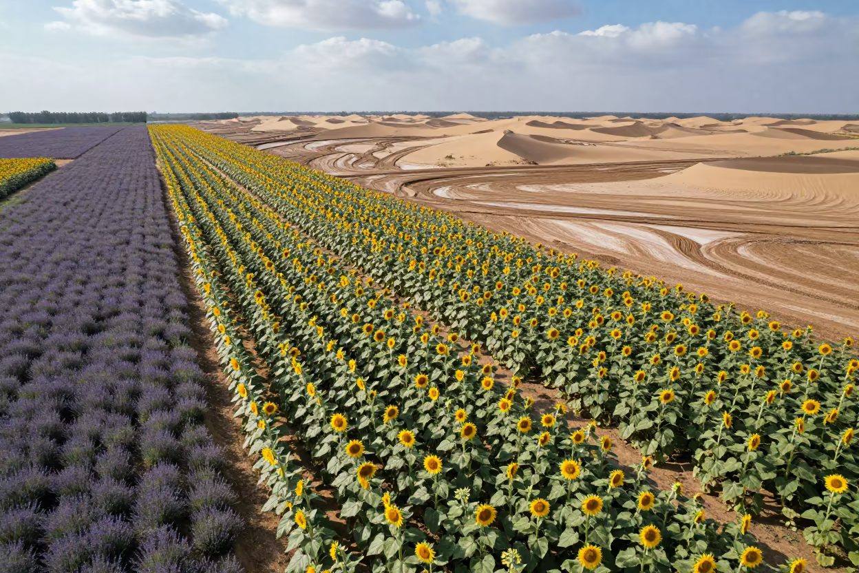
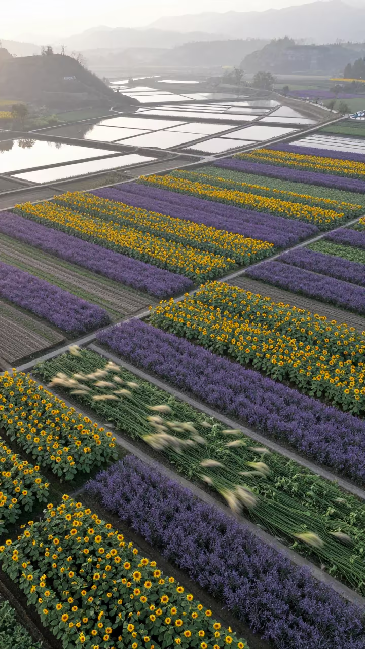
Autumn Sunflower and Lavender Fields Aerial View
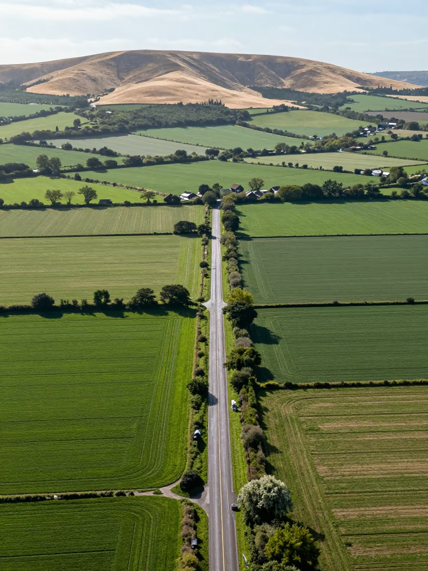
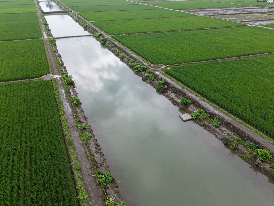
Aerial View of Country Lanes and Irrigation Fields
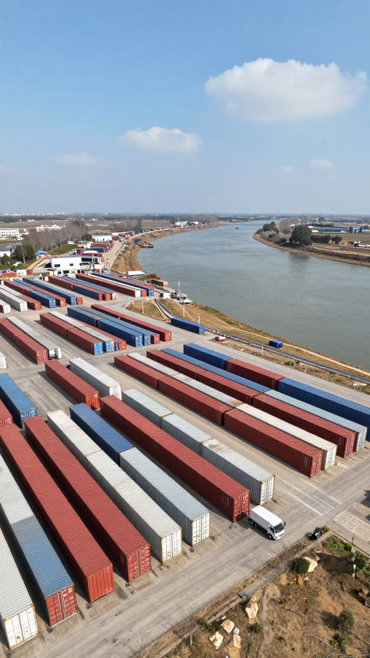
Aerial View of Container Rows Over Jiangxi River
Aerial Rice Paddies Silk Road Evening Light
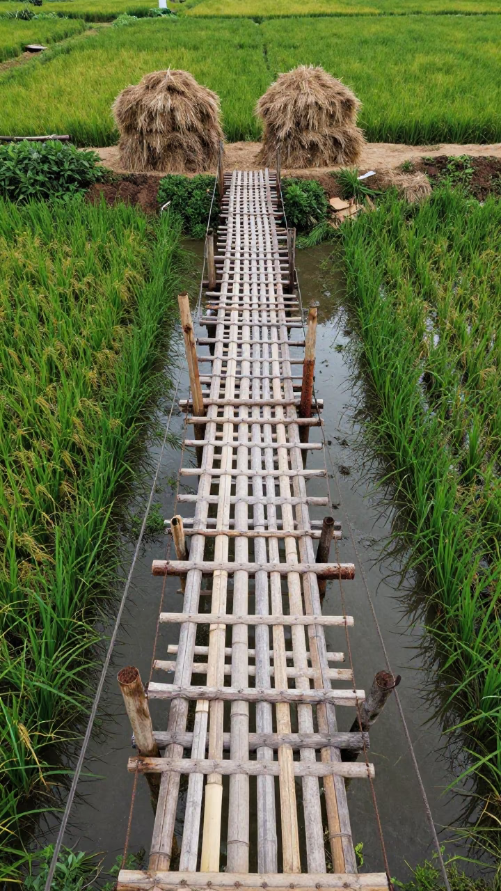
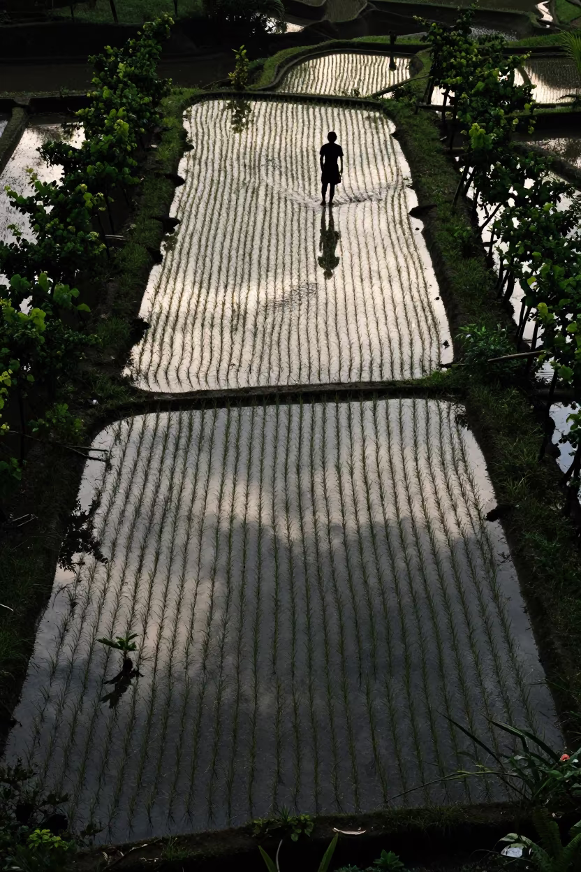
Aerial View of Bamboo Footbridge Over Rice Paddy
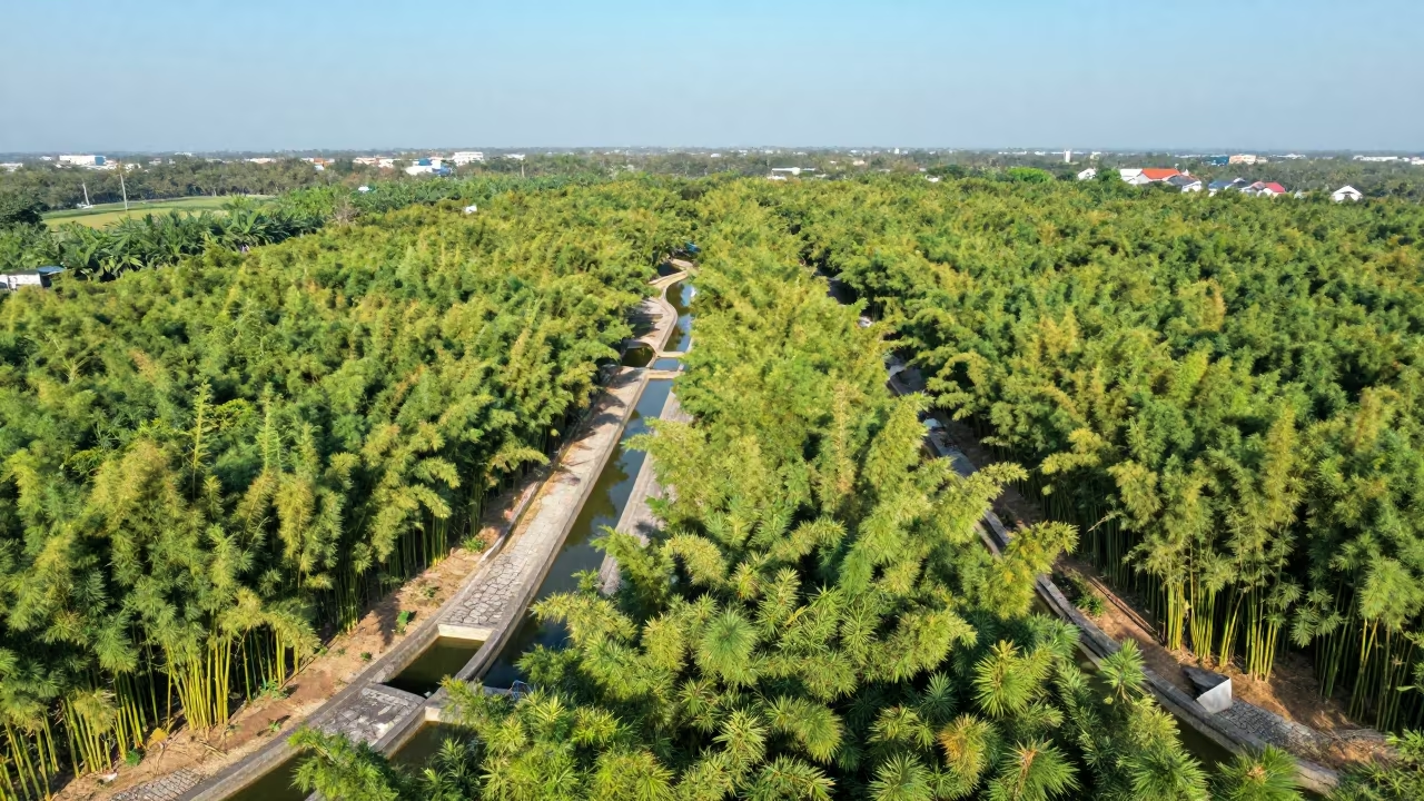
Aerial Bamboo Forest Irrigation Geometry Vietnam
Sprinklers Reflected in Farm Pond at Dusk
Aerial View of Taiwan Irrigation Canals at Low Tide
Aerial Spring Dawn Over Salt Ponds Fields
Comments