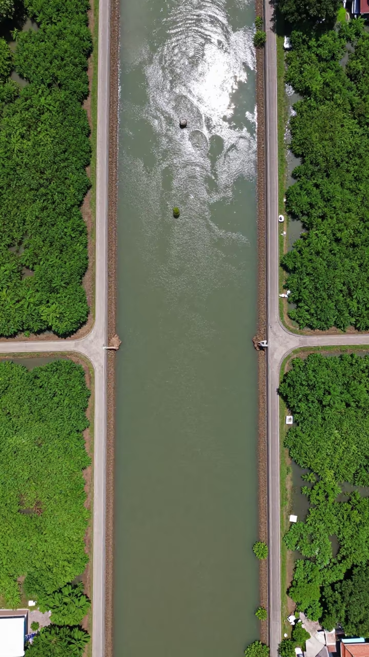
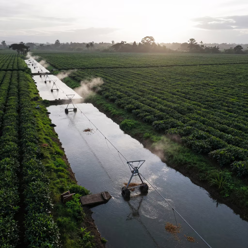
Aerial View of Irrigation Channels Near Bangkok
Directly overhead, geometric irrigation channels carve through the saturated earth near Rattanakosin. The monsoon water fills the trenches in deep, reflective indigo, against the lighter, mud-brown banks. Bright midday sunlight flattens the shadows, showing the rigid right angles of the human-made grid against the organic irregularity of the surrounding vegetation. Green mangrove clusters rest on the edges, their leaves glistening with residual moisture from recent rain. The water surfaces act as mirrors, showing the harsh clarity of the sky above. A thin, pale reflection of a cloud drifts across the center of one rectangular channel, breaking the solid blue line. The landscape presents a stark, orderly pattern of agriculture and water management.
Free to download. CDN hosting requires a link back to this page. Terms
Similar Images
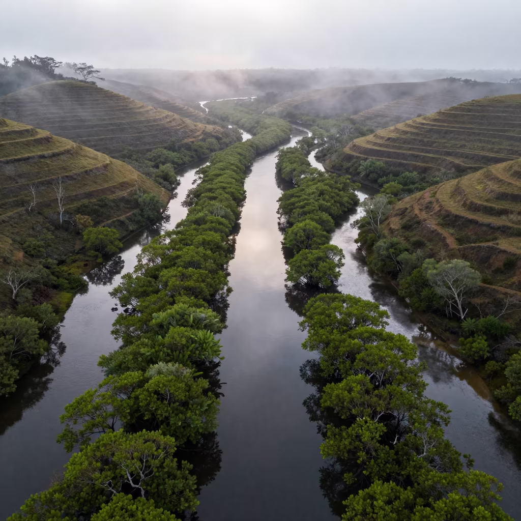
Aerial Mangrove Channels After Rain Near Bangkok
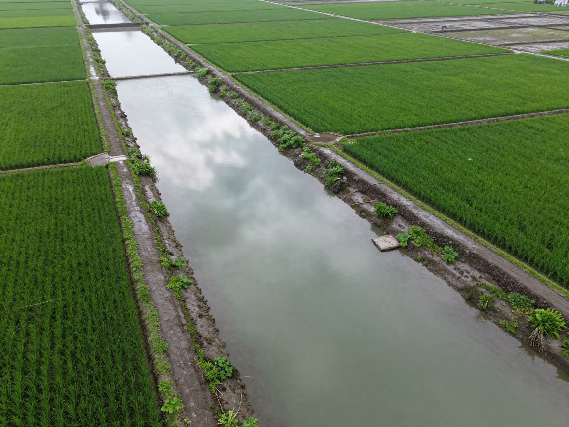
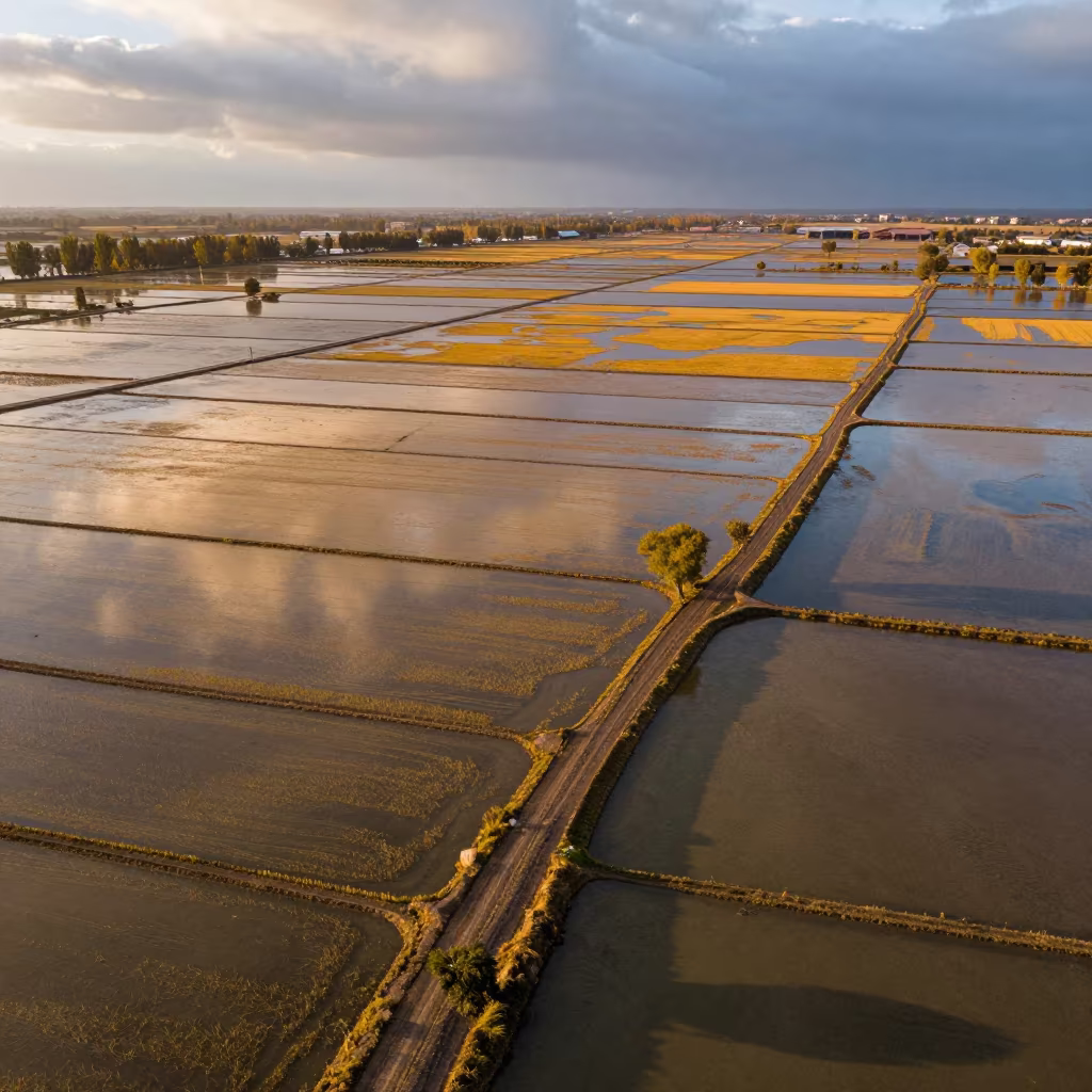
Flooded Rice Terraces Reflecting Dawn Clouds
Aerial View of Reef Shallows and Drainage Lines
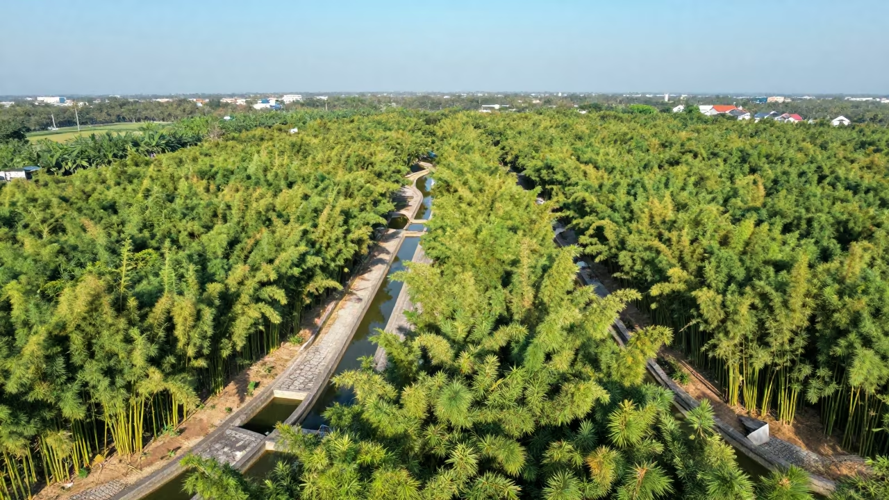
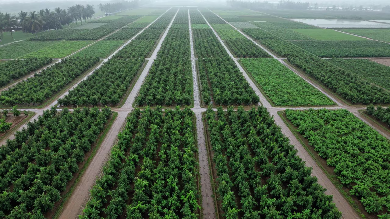
Aerial Bamboo Forest Irrigation Geometry Vietnam
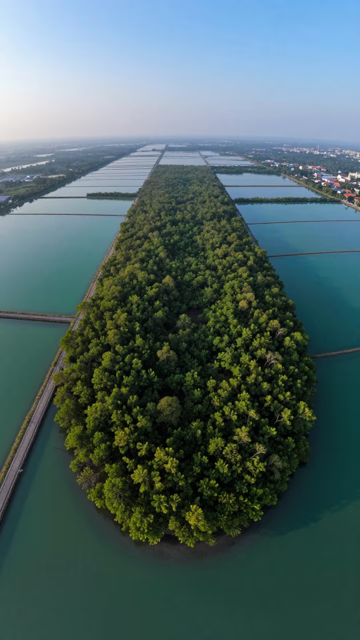
Predawn Mangrove Island Turquoise Water Bangkok

Rice Terraces Over Braided River Channels
Aerial View of Taiwan Irrigation Canals at Low Tide
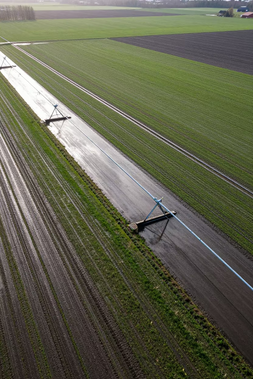
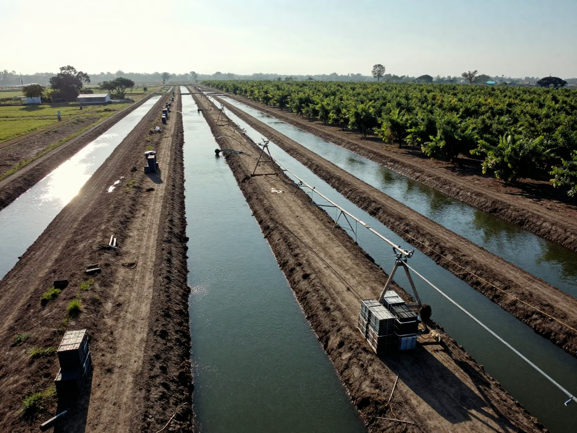
Aerial View of Swedish Irrigation After Rain
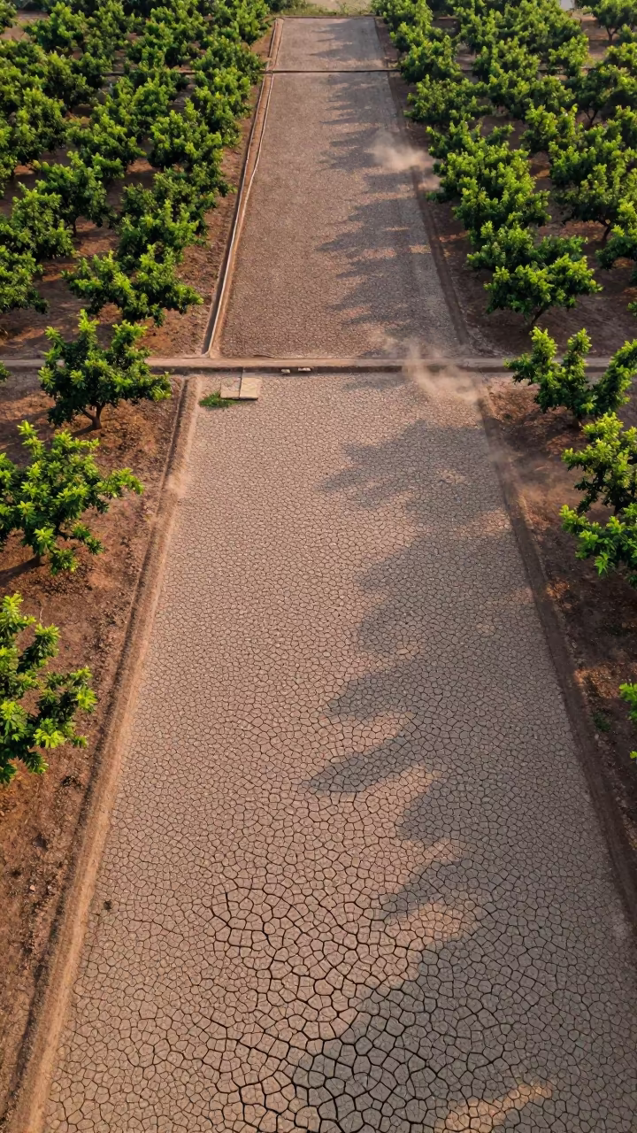
Cracked Mud Patterns Over Cambodian Orchards
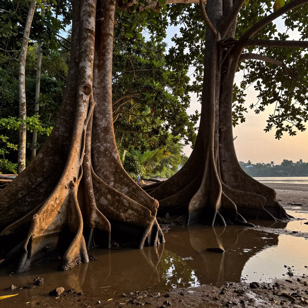
Buttress Roots Reflected in Monsoon Water Bangkok
Jade Lagoon Irrigation Geometry Aerial View
Aerial View of Brunei Irrigation Patterns
Aerial View of Queensland Mangrove Channels at Dawn
Blue Hour Irrigation Canals Above Rice Terraces
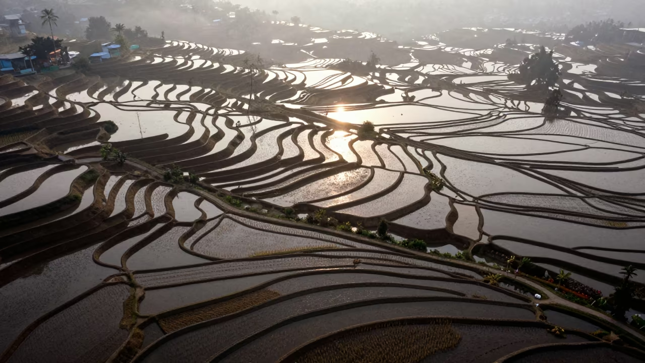
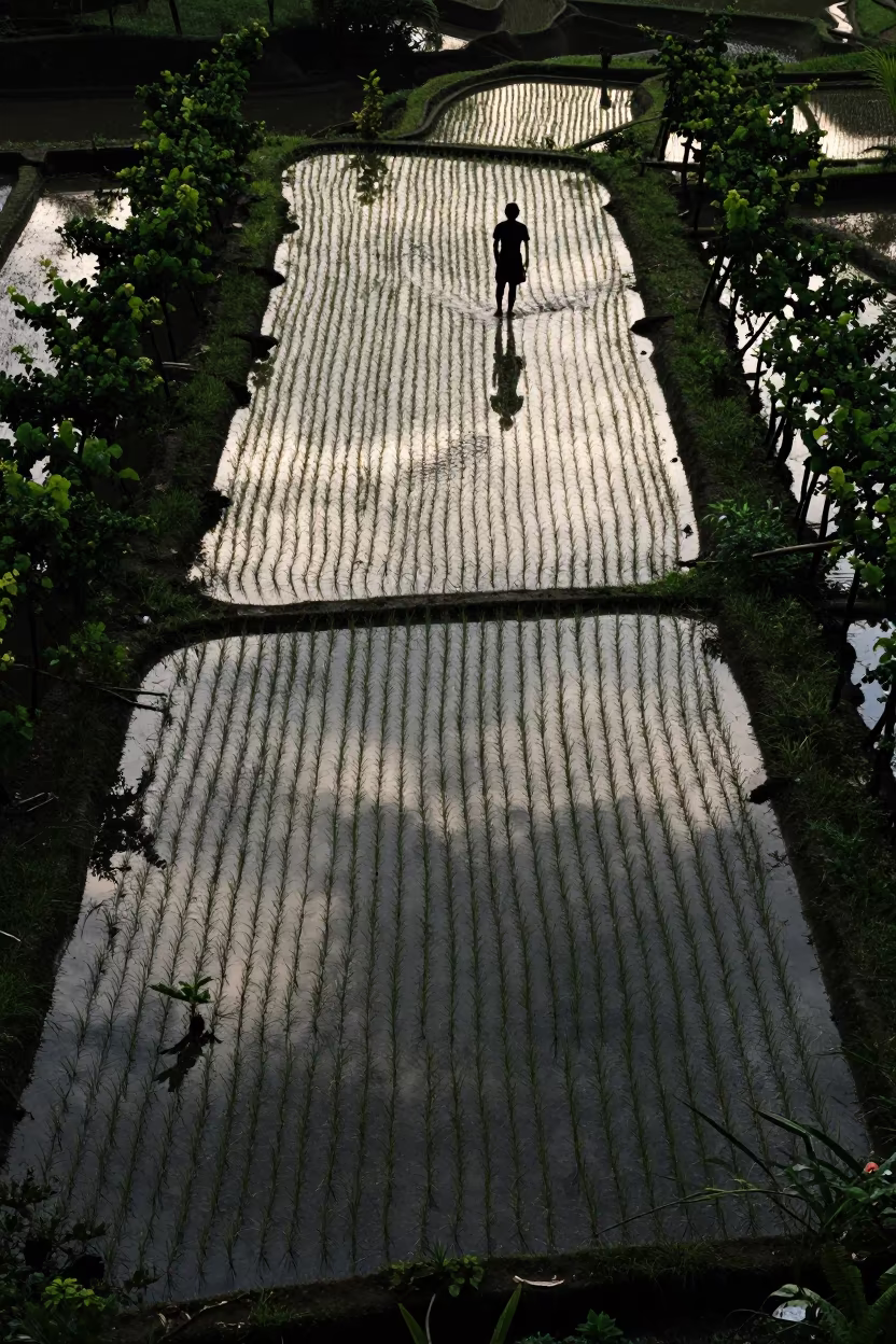
Aerial View of Rice Terraces at Dawn
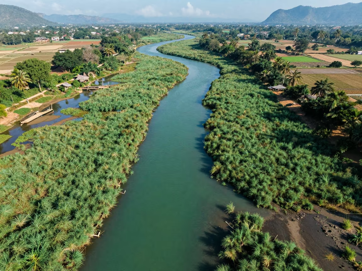
Aerial View of Wetland Channels in Laos
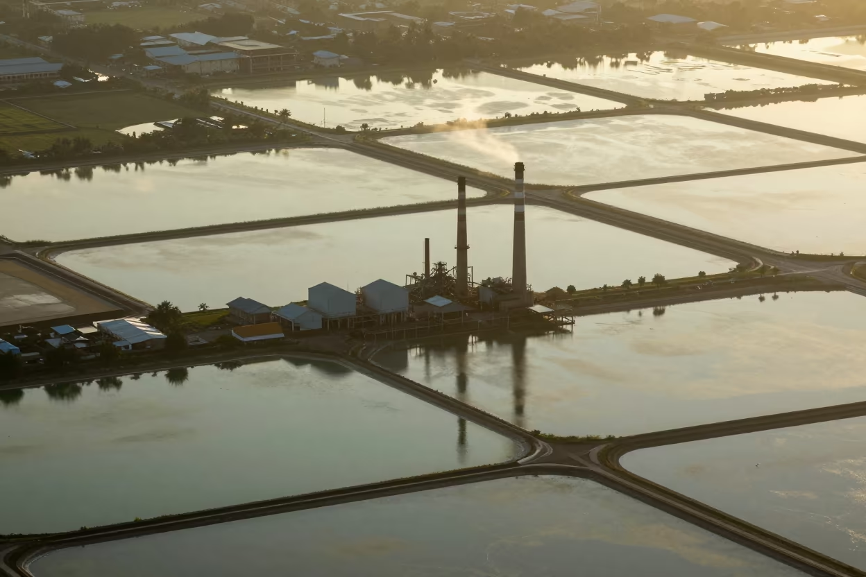
Aerial Salt Ponds Chimney Shadows Bangkok Monsoon
Aerial Mangrove Coastline Salvador Evening Light
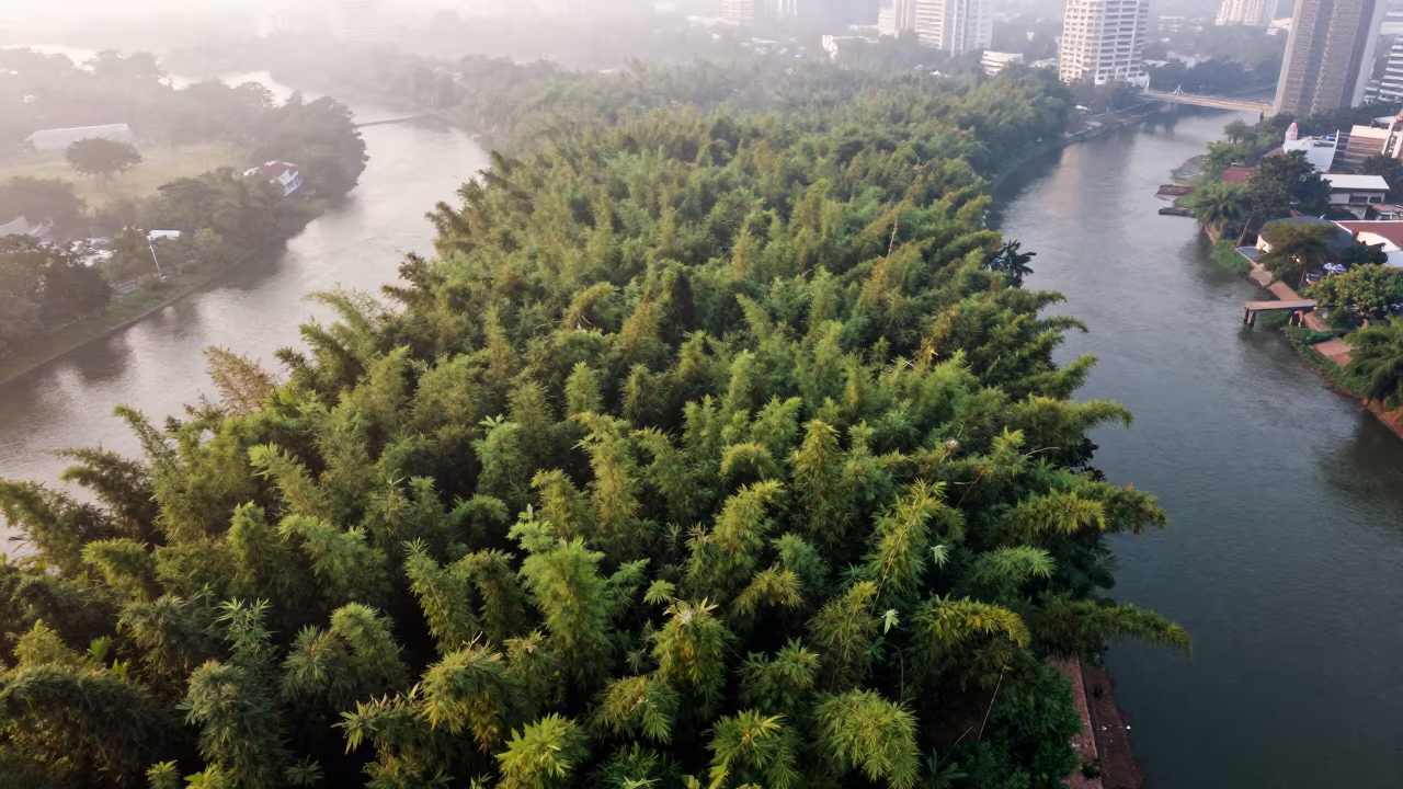
Aerial Bamboo Forest Misty Dawn Silom Bangkok
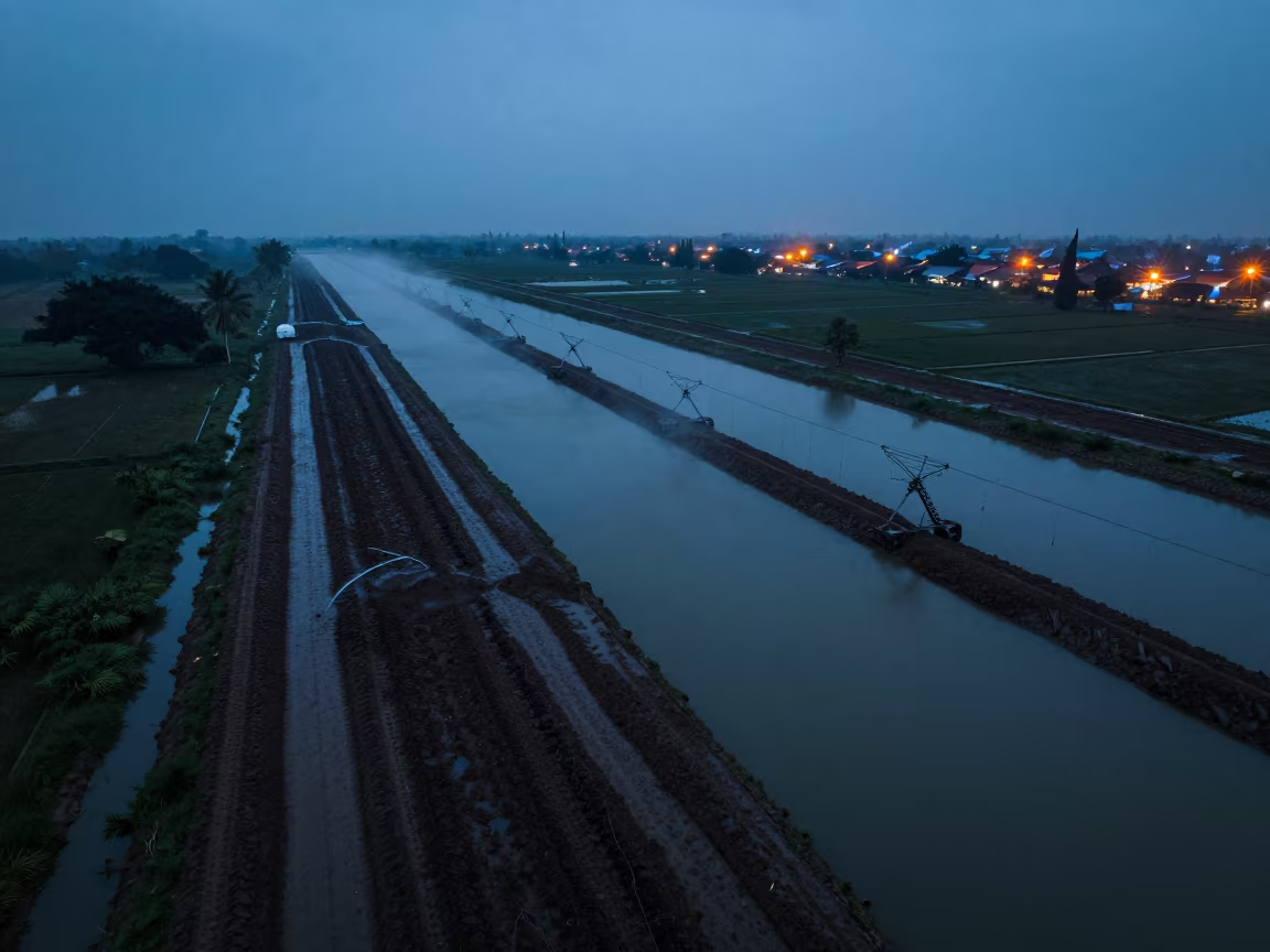
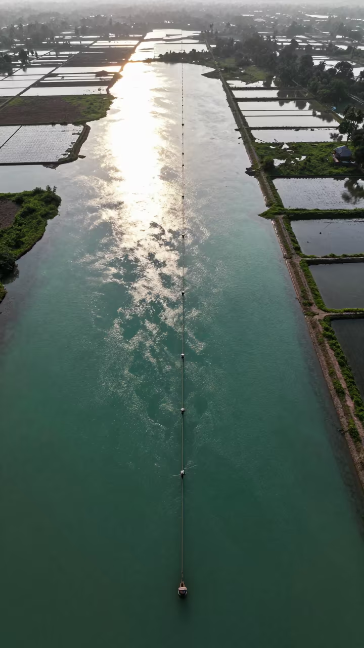
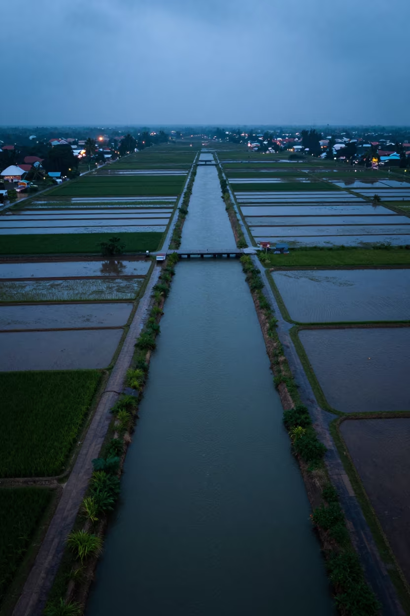
Surabaya Irrigation Canals Blue Hour Drone View
Bird's Eye View Flooded Rice Terraces Philippines
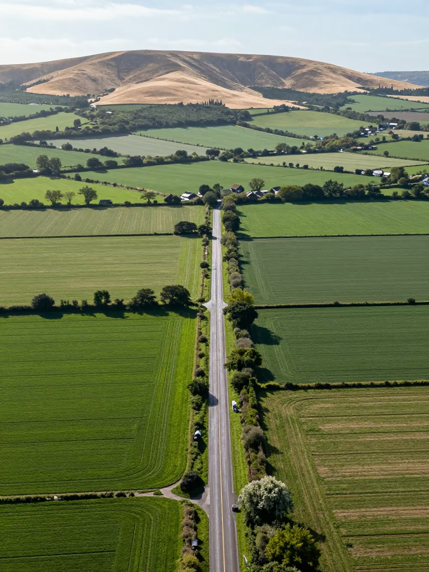
Aerial View of Country Lanes and Irrigation Fields
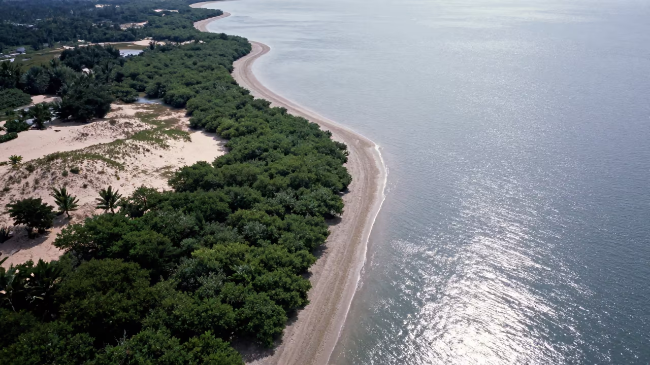
Aerial View of Malaysian Mangrove Coastline and Open Water
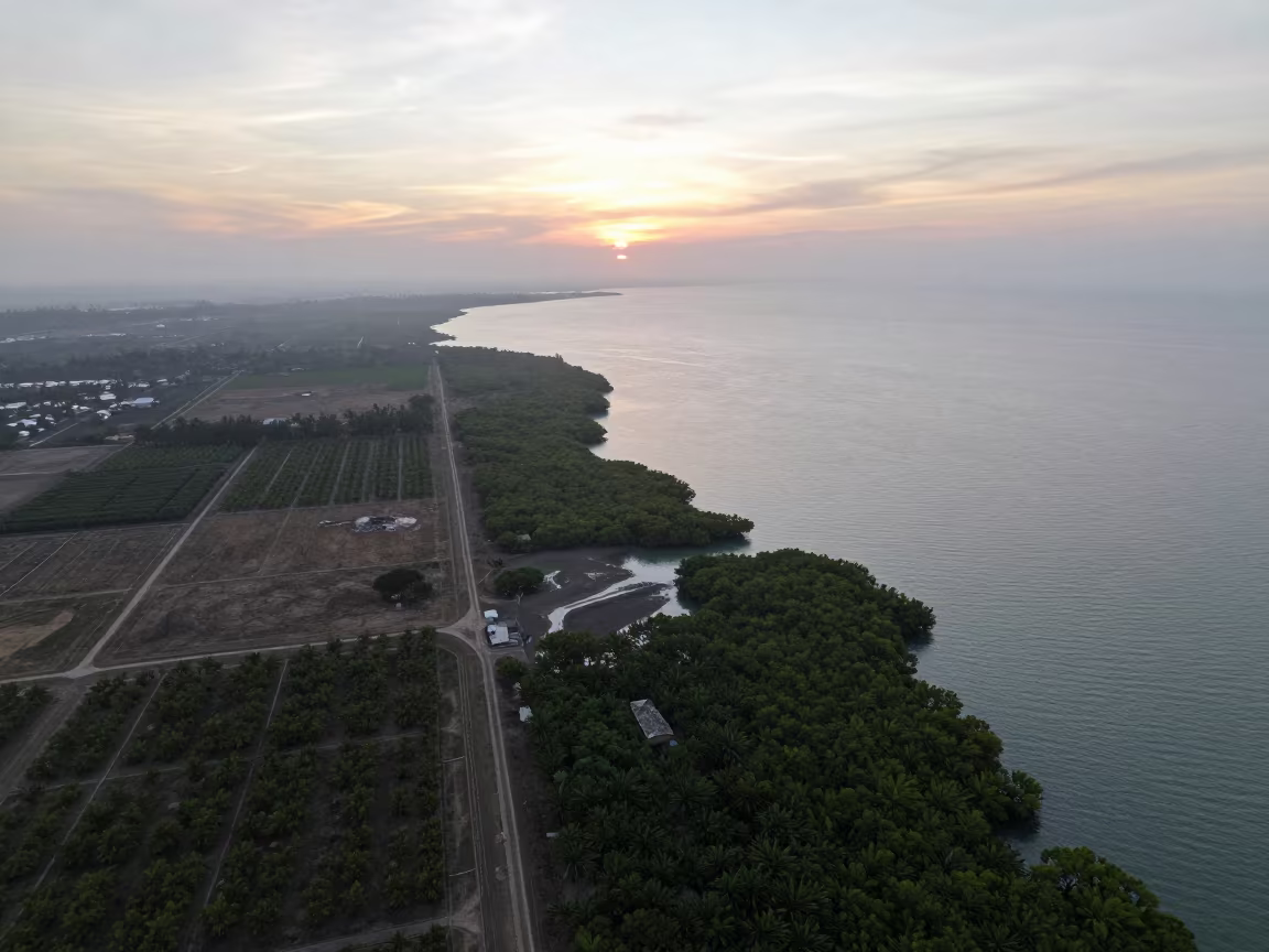
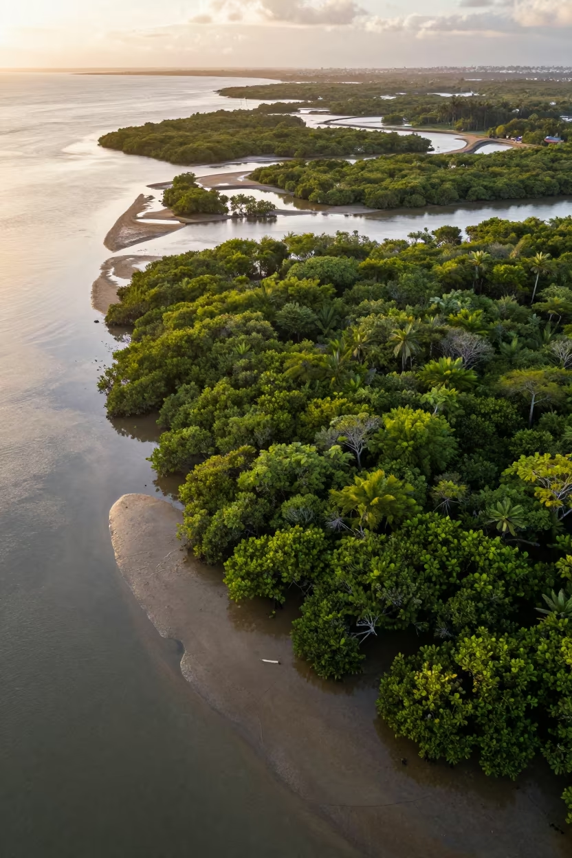
Aerial View of Philippines Mangrove Coastline at Sunset
Jakarta Rice Paddy Canals Reflecting Blue Hour Sky
Dawn Mangrove Channels Aerial View Near Jakarta
Aerial Mangrove Veins Over Singapore Mudflats

Aerial View of Pink Salt Ponds Near Quezon City
Aerial Reef Shallows Greenhouse Grids Thu Thiem Evening
Monsoon Orchard Patterns Above Kamsar
Irrigation Canals Silhouetted in Late Afternoon Light
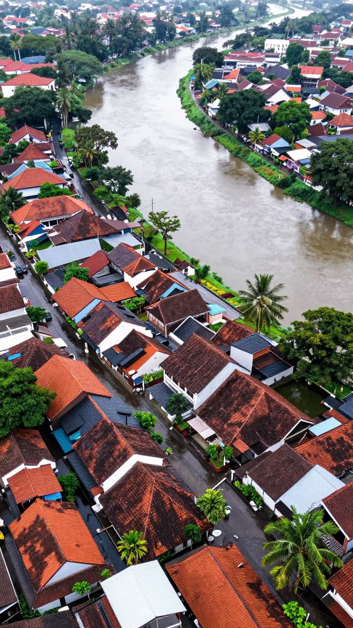
Aerial View of Old City Rooftops Near Braided River
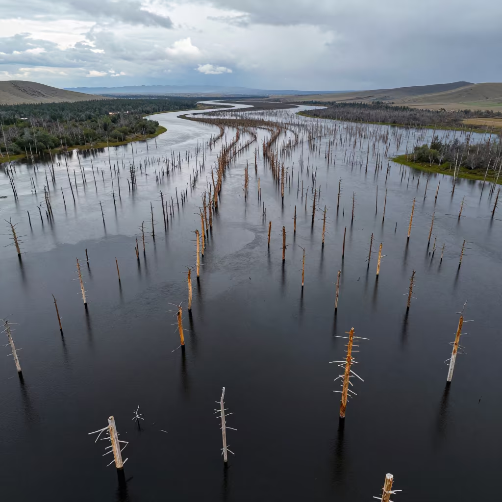
Aerial View of Flooded Forest Trunks in Mongolia
Aerial Mangrove Channels After Rain Near Havana
Aerial View of Rice Terraces Potsdam Summer
Aerial River Snaking Through Forest Canopy Near Chengdu
Aerial View of Hubei Irrigation Fields at Dawn
Silhouetted Irrigation Canals at Dawn in Nicaragua
Comments