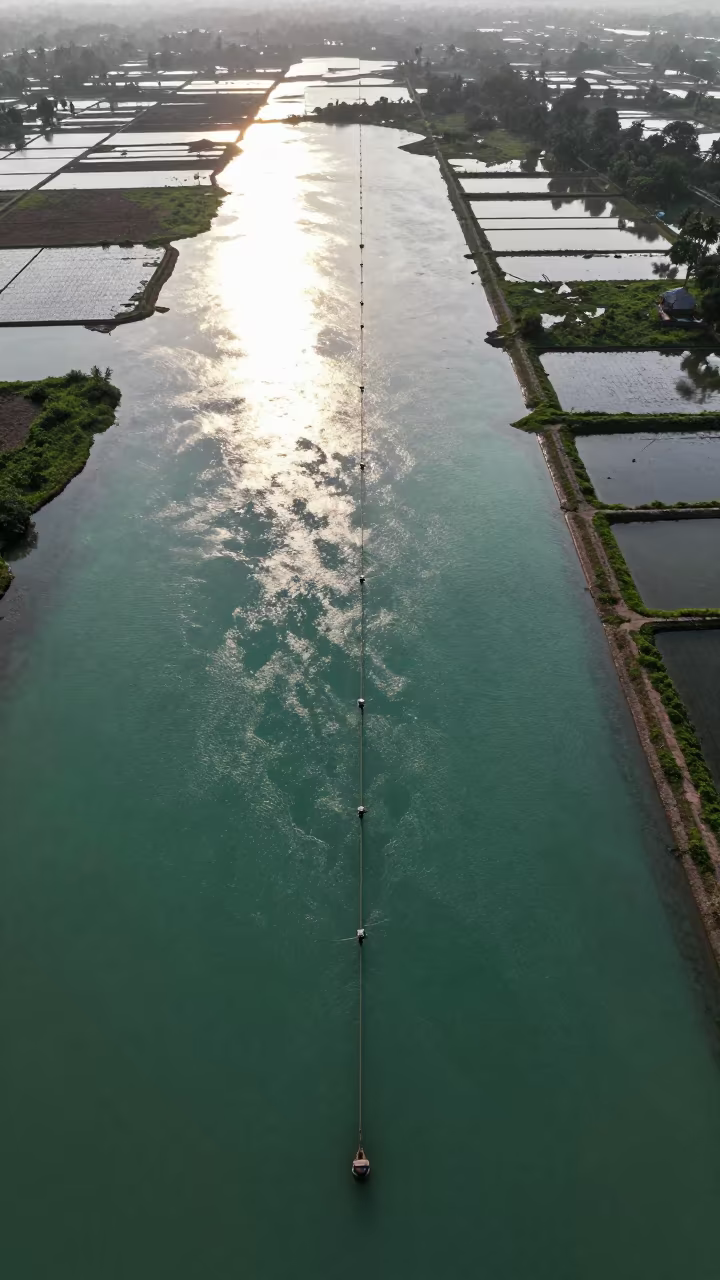
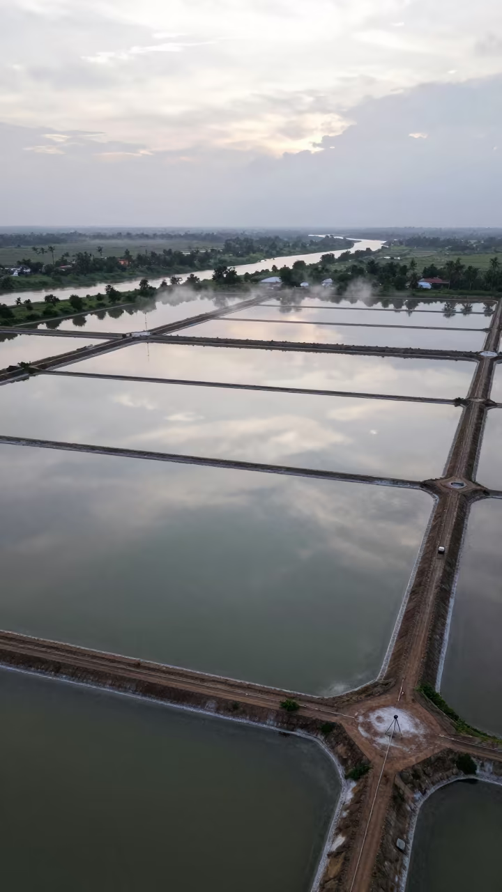
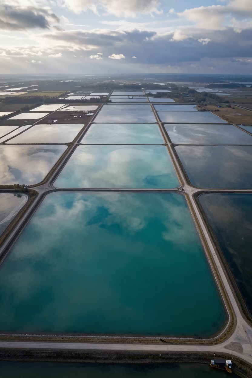
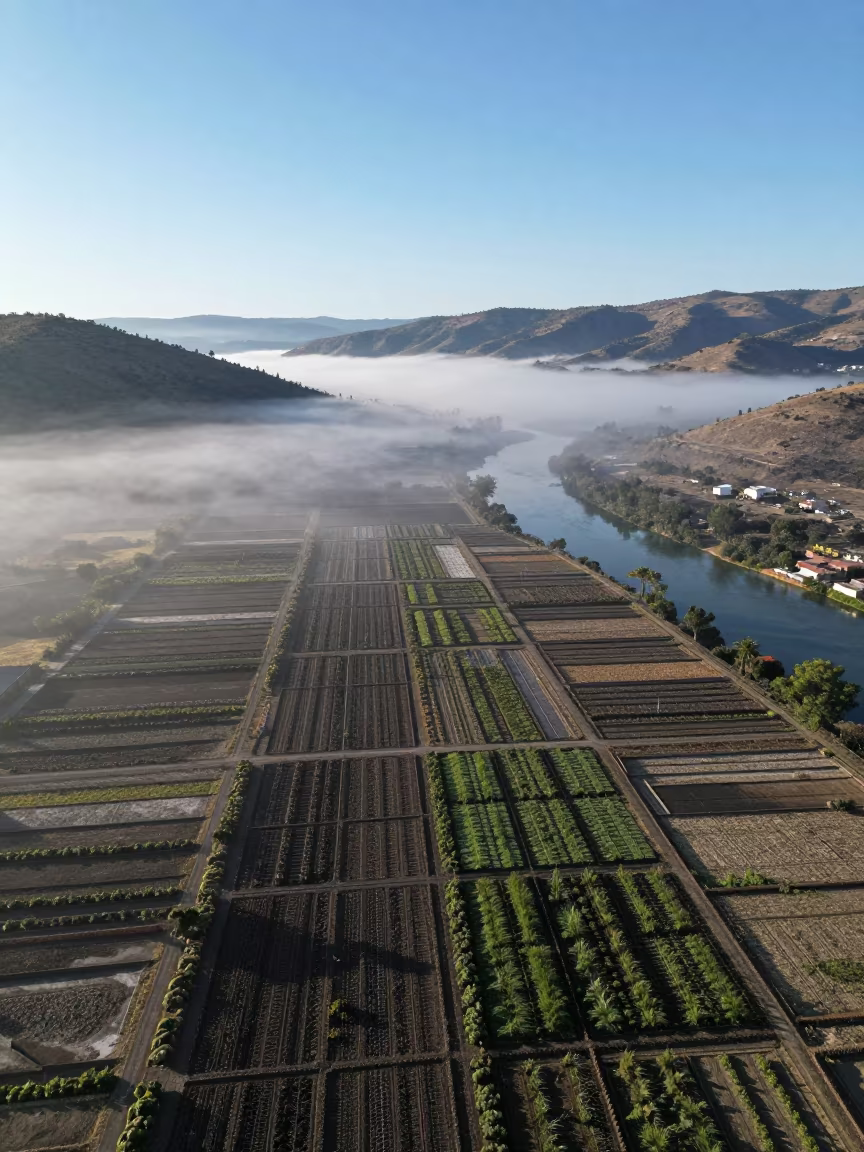
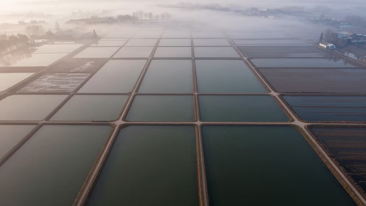
Jade Lagoon Irrigation Geometry Aerial View
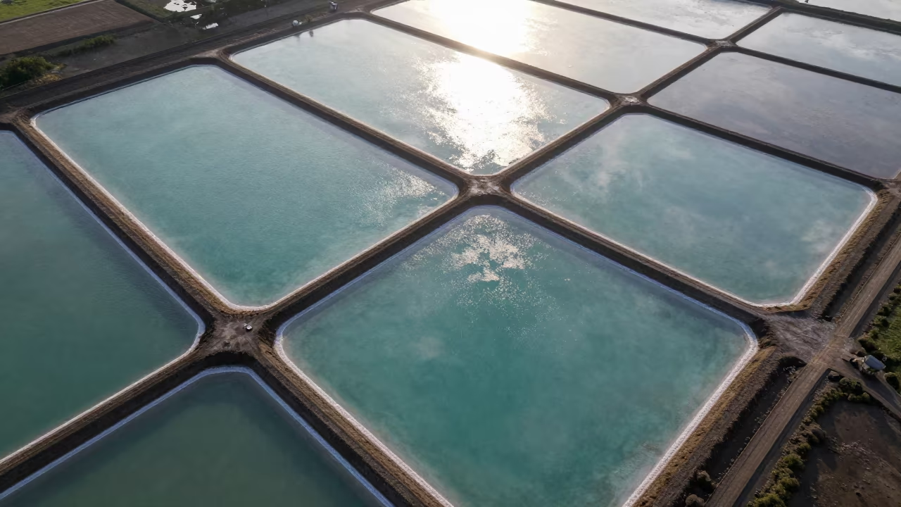
Shimmering jade water fills geometric ponds carved into the flat landscape of Madhya Pradesh. Late afternoon sunlight reflects intensely off the wet surfaces, creating bright highlights that trace the straight, man-made banks. Layers of rectangular fields recede into the distance, forming a vast grid of water and earth. The wet season has left the soil saturated, deepening the greens and browns of the surrounding terrain. Humid air hangs low, softening the horizon line where the geometric patterns dissolve into the haze. Sharp edges of the irrigation channels cut through the natural ground, defining a precise order across the expansive terrain. A thin line of vegetation marks the boundary between the water and the dry earth in the foreground.
Free to download. CDN hosting requires a link back to this page. Terms
Similar Images
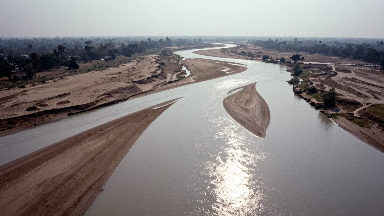
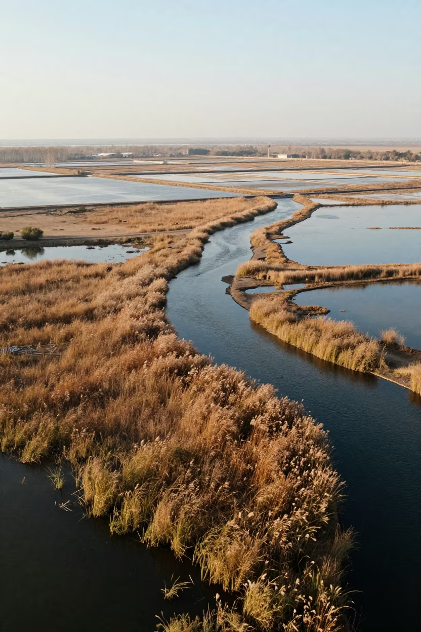
Aerial View of Braided River Channels in Madhya Pradesh
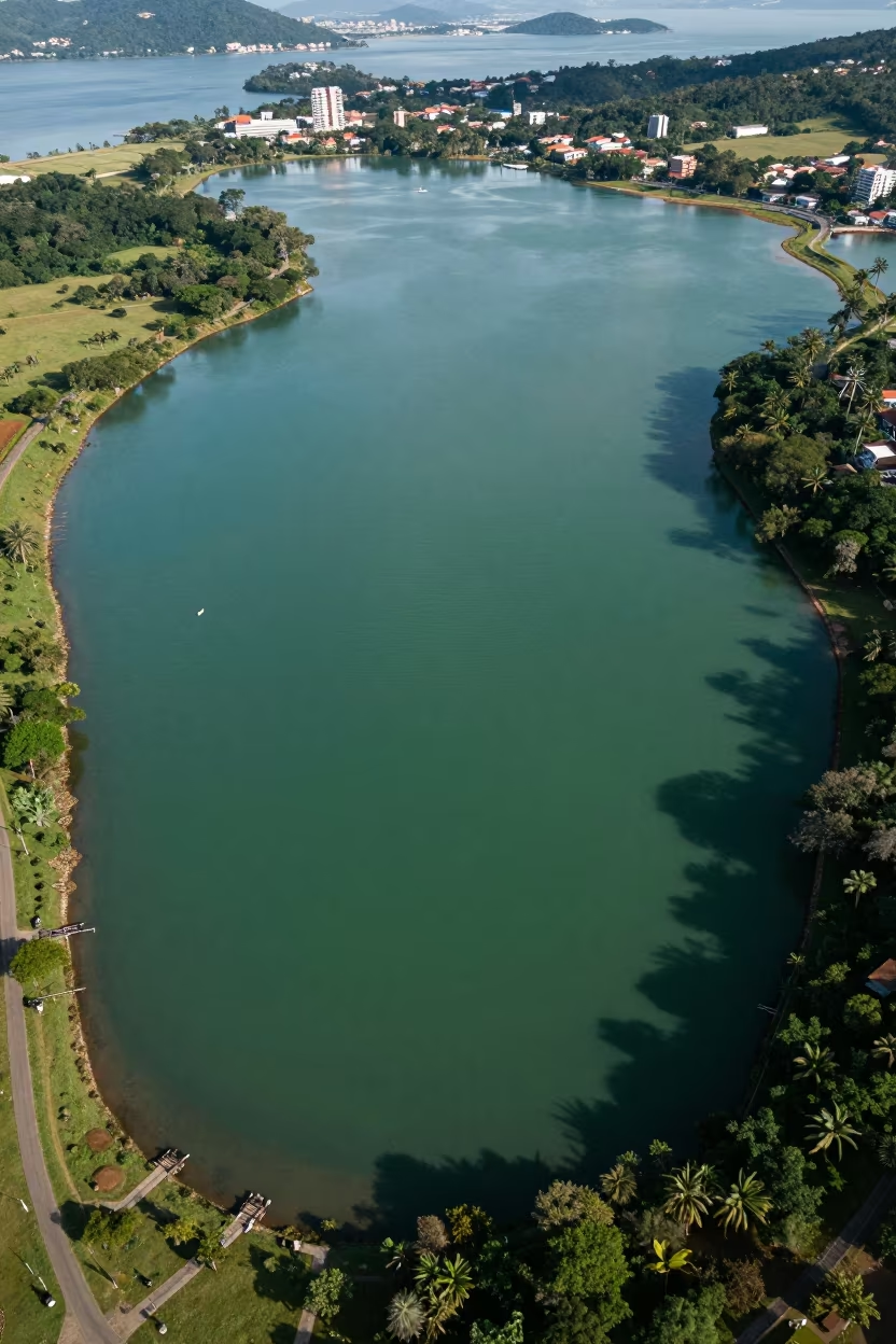
Jade Lagoon Aerial View Near Belo Horizonte
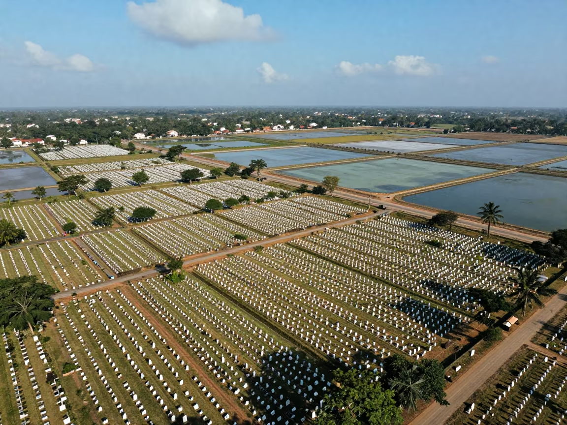
Aerial View of White Headstones Over Salt Ponds Near Nagpur
Aerial Salt Ponds Monsoon Bidar
Aerial Wetland Channels Near Jalalabad
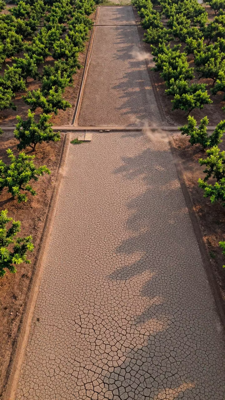
Cracked Mud Patterns Over Cambodian Orchards
Aerial View of Taiwan Irrigation Canals at Low Tide
Jade Lagoon Salt Ponds Czech Aerial

Aerial View of Corn and Soybean Fields in Anand
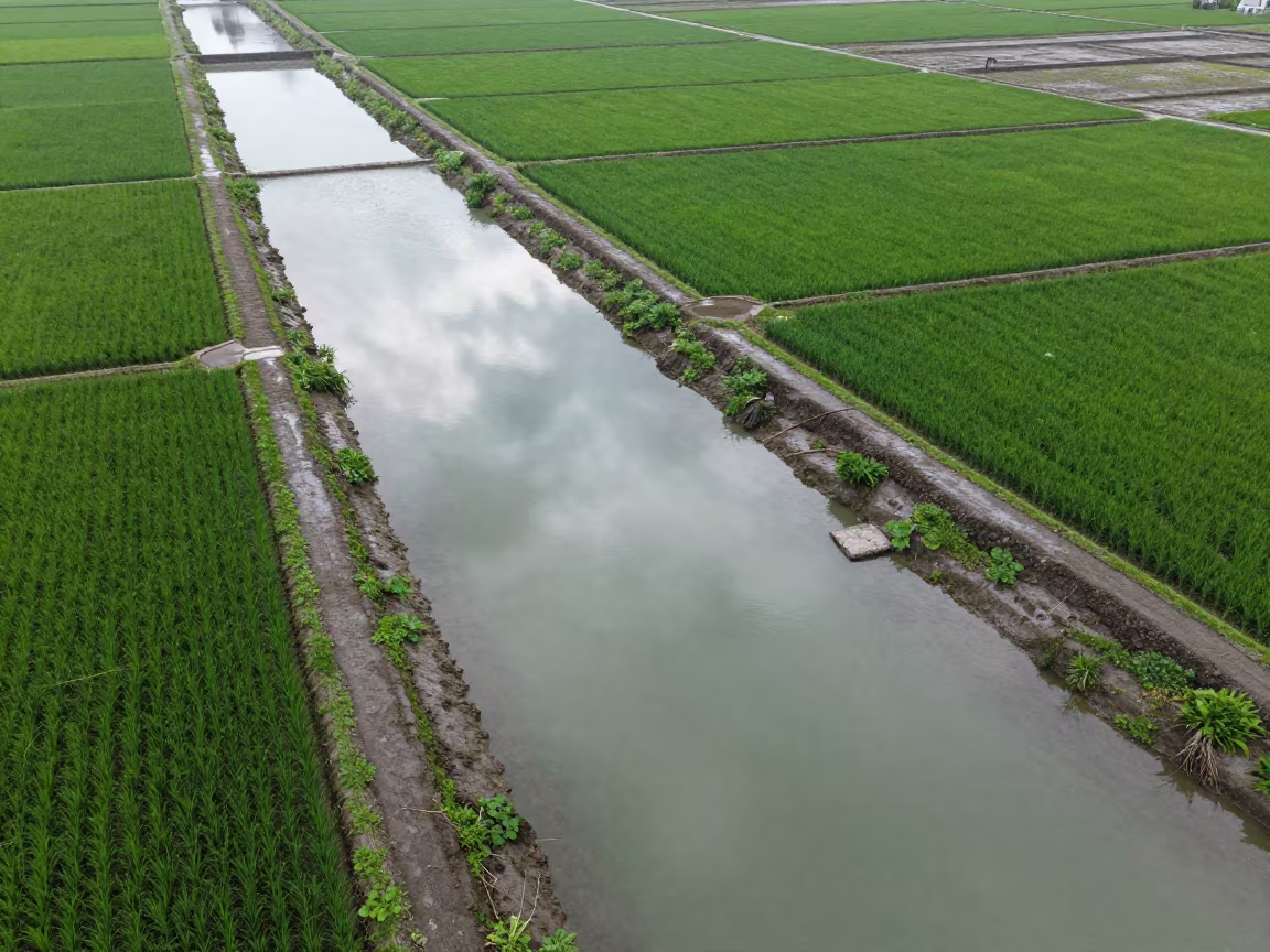
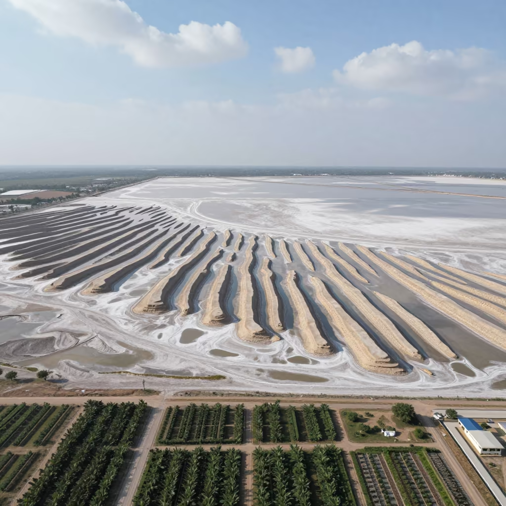
Aerial View of Irrigation Channels Near Bangkok
Aerial River Delta Over Salt Ponds
Aerial View of Wetland Channels in Laos
Aerial view of rain-soaked allotment plots near Guadalajara
Aerial View of Irrigation Canals in Jashore
Emerald Volcanic Caldera Lake Aerial View
Mali Salt Ponds Aerial Emerald Water Causeways
Aerial View of Hubei Irrigation Fields at Dawn
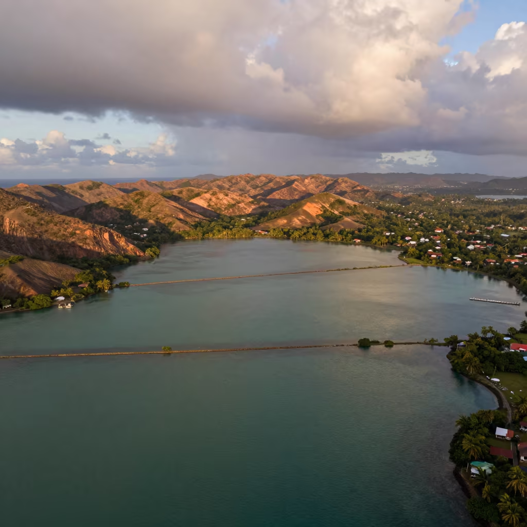
Trinidad Lagoon Jade Geometry Copper Light
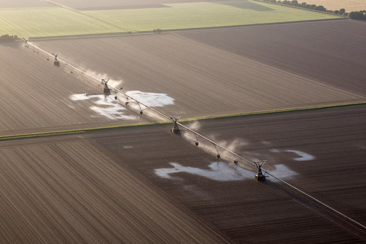
Aerial View of Irrigation Patterns Near Chelmsford
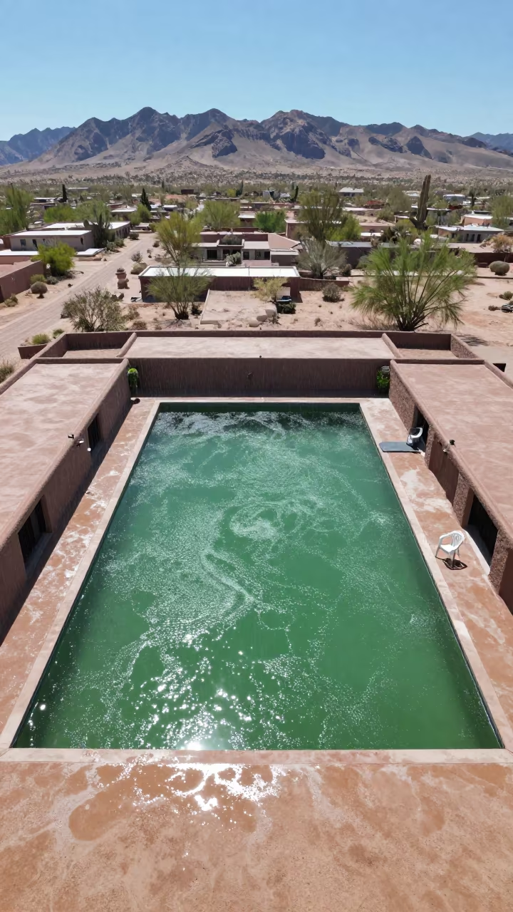
Jade Lagoon Above Arizona Rooftops Noon
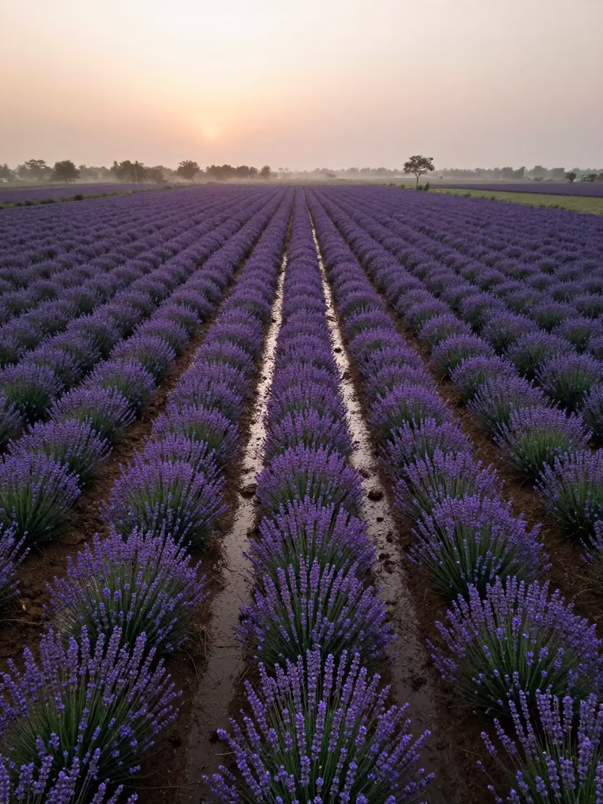
Aerial Lavender Fields India Rainy Season

Rice Terraces Over Braided River Channels
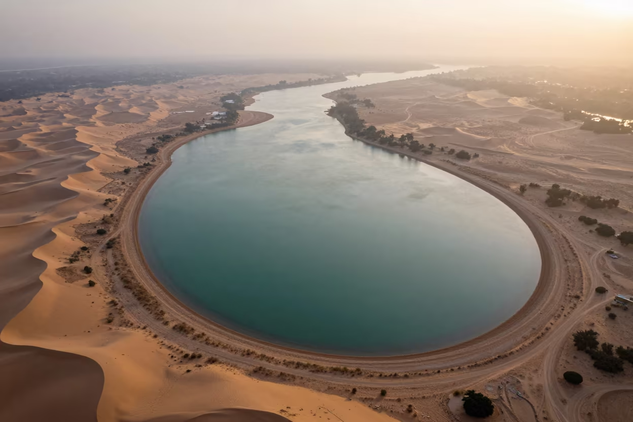
Jade Lagoon Aerial View Sunset Mist Dunes
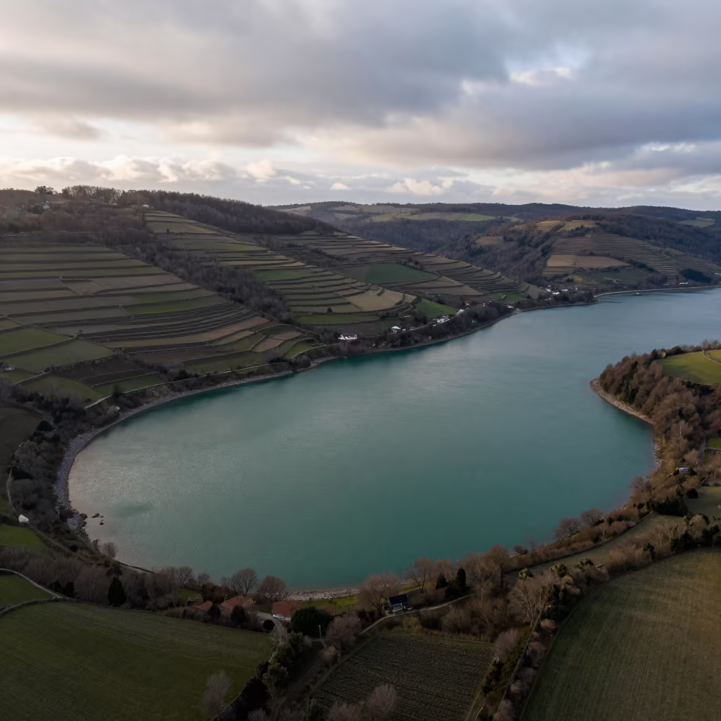
Jade Lagoon Above Burgundy Hills Aerial View
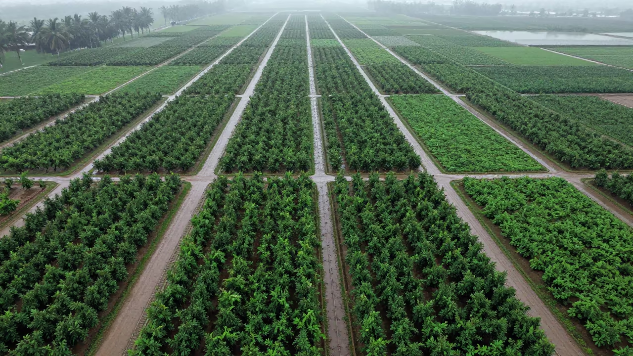
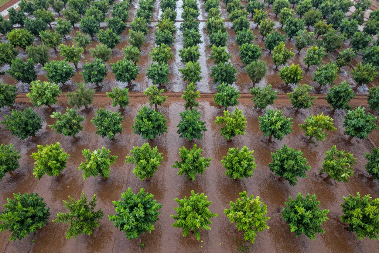
Monsoon Orchard Patterns Above Kamsar
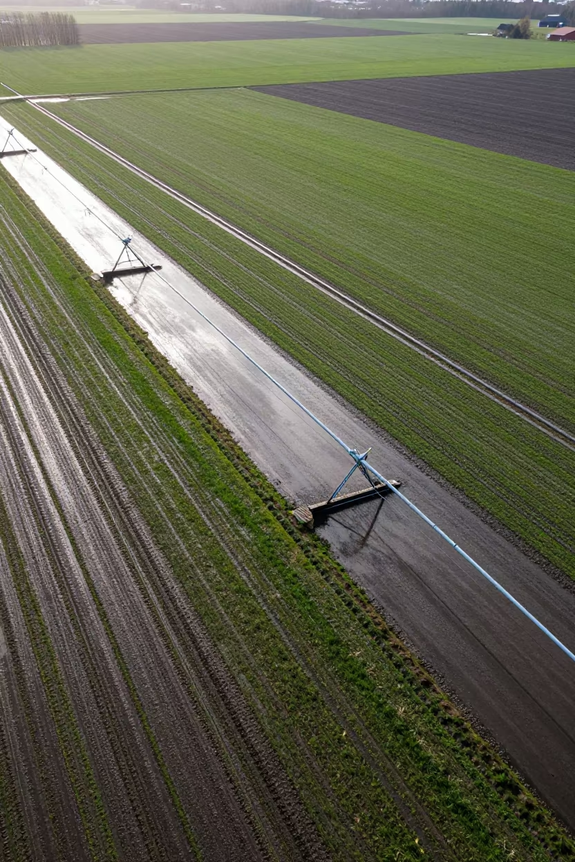
Aerial View of Swedish Irrigation After Rain
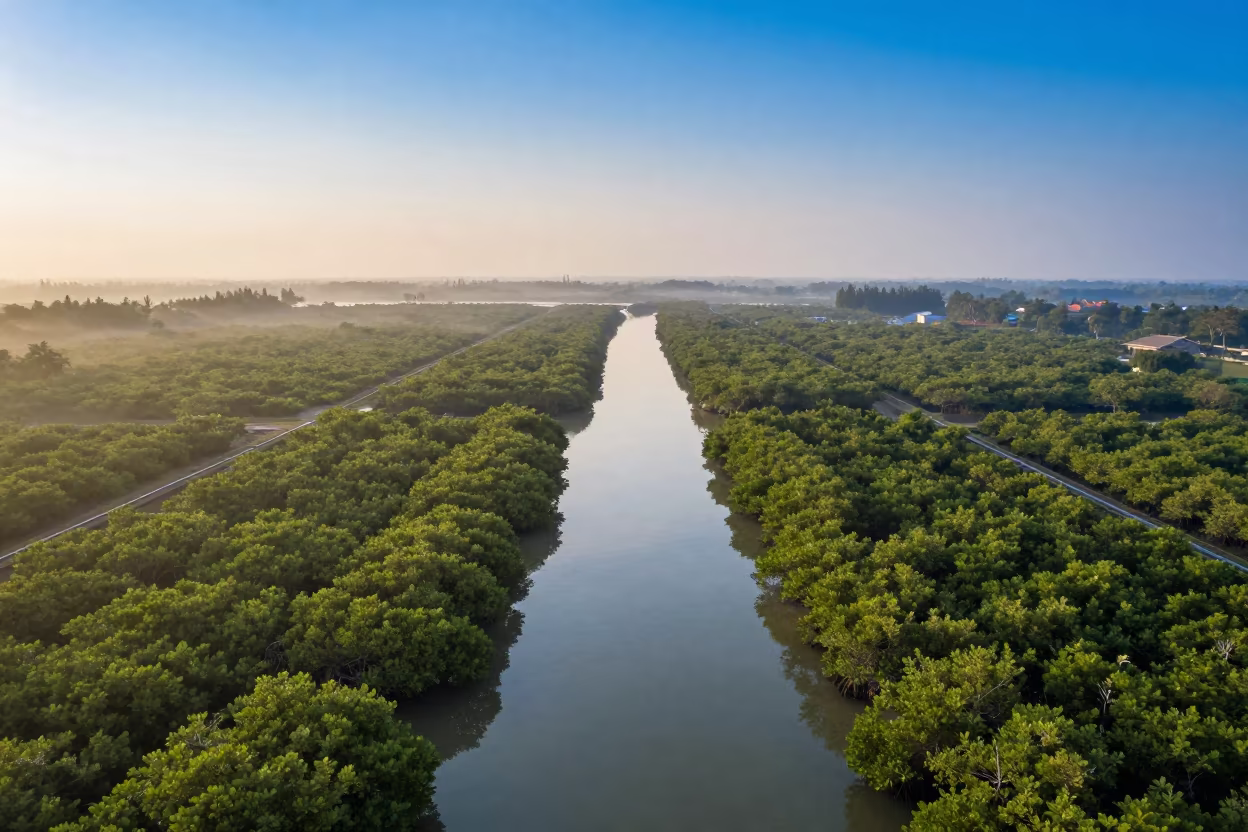
Dawn Mangrove Channels Aerial View Near Jakarta
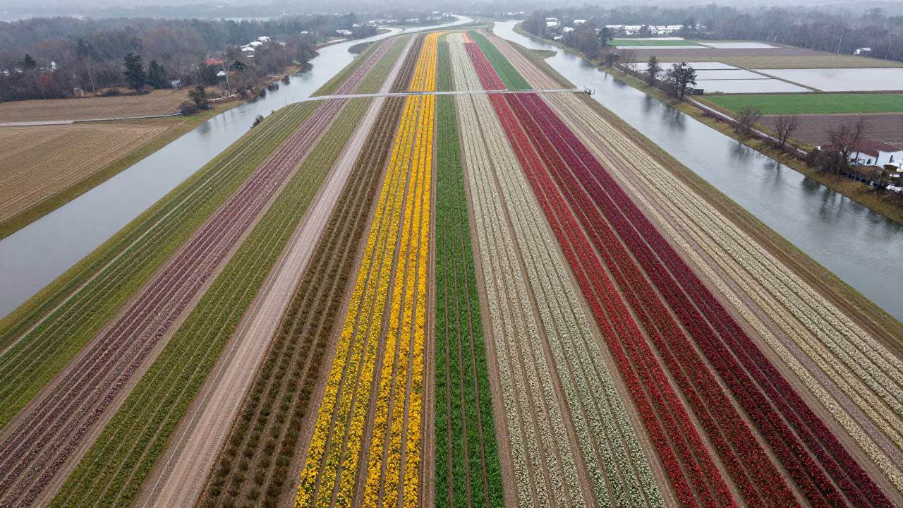
Aerial View of Maryland Flower Fields After Rain
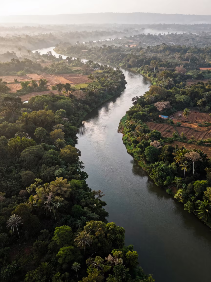
Aerial View of Serpentine River Through Jungle Canopy
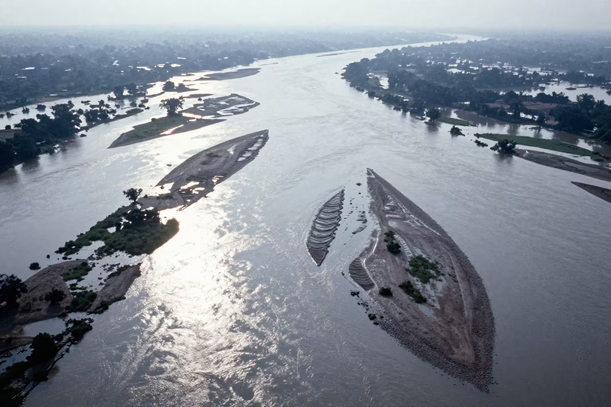
Aerial Braided River Islands Silver Water
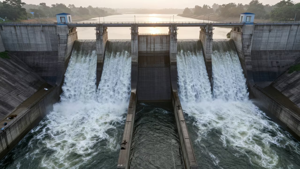
Madhya Pradesh Dam Spillway Wet Season Dawn
Aerial View of Mali Orchards in Rainy Season
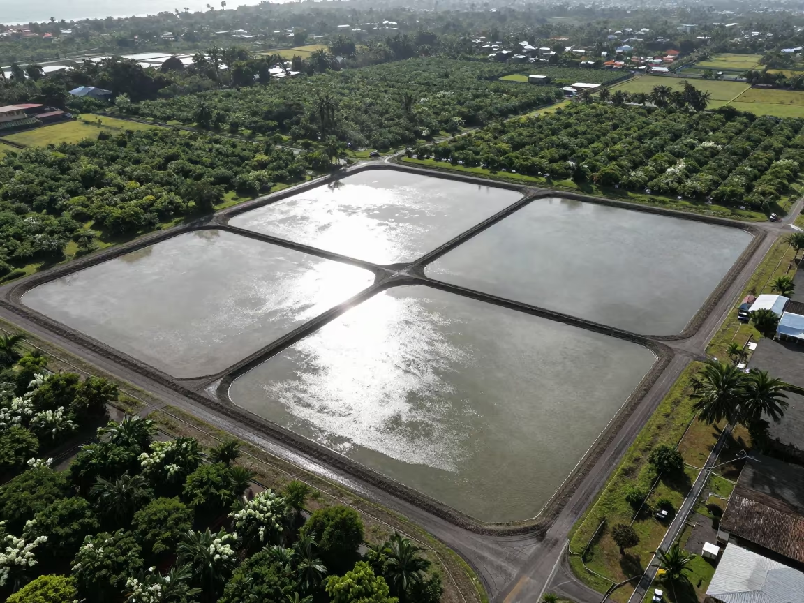
Aerial View of Salt Ponds Nicaragua
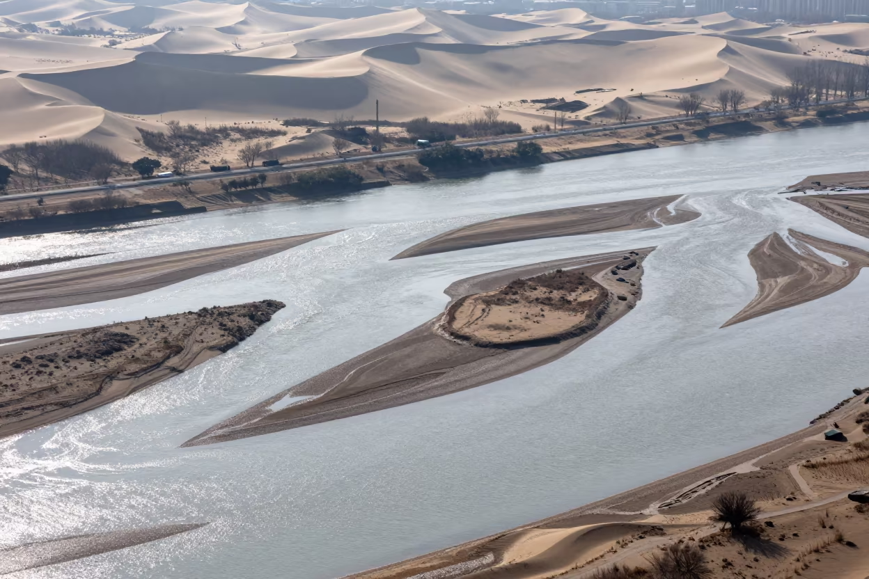
Aerial River Islands Braided Through Silver Floodwater
Aerial Salt Ponds Uganda Sunrise Monsoon
Wind Sculpted Yardangs Aerial Salt Flat View

Aerial View of Rice Terraces at Dawn
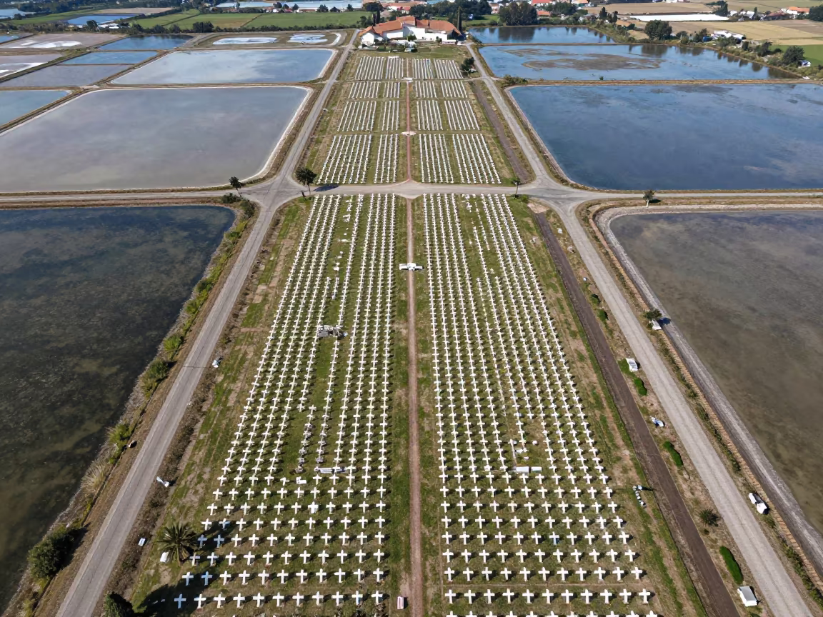
Aerial Cemetery Over Salt Ponds Near Forli

Comments