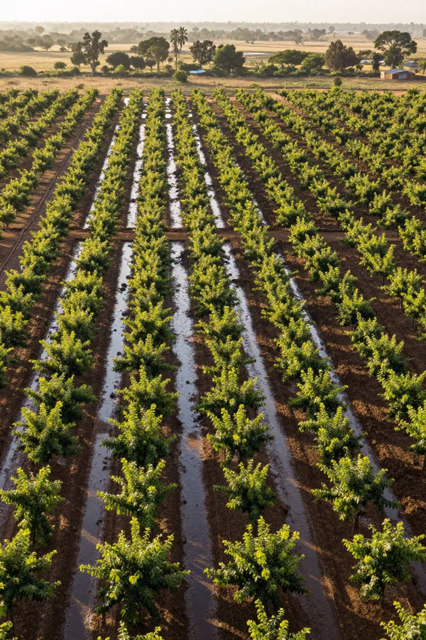
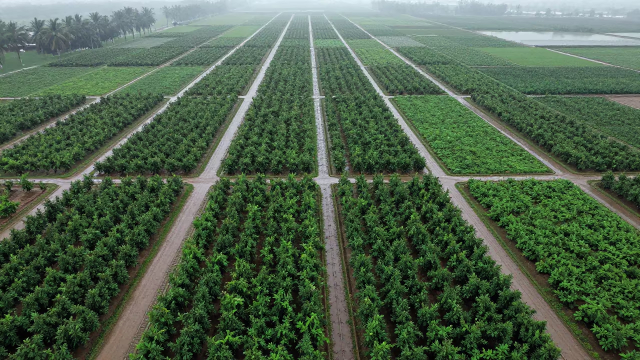
Aerial Orchard Grids at Dutse Dawn
Rows of young orchard trees form a precise geometric grid stretching across the frame, intersected by linear drainage channels that cut dark ribbons through the soil. The low angle of the nautical dawn sun casts elongated shadows from each sapling, creating a rhythmic pattern of light and dark across the wet earth. Patches of standing water in the drainage lines reflect the pale sky, adding bright highlights to the deep greens and browns of the terrain. The ground appears saturated from recent rains, with visible moisture sheening on the surface. Long shadows stretch parallel to the tree rows, showing the cartographic clarity of the irrigation layout. The horizon remains flat and distant, defined only by the transition between the cultivated fields and the hazy morning sky.
Free to download. CDN hosting requires a link back to this page. Terms
Similar Images
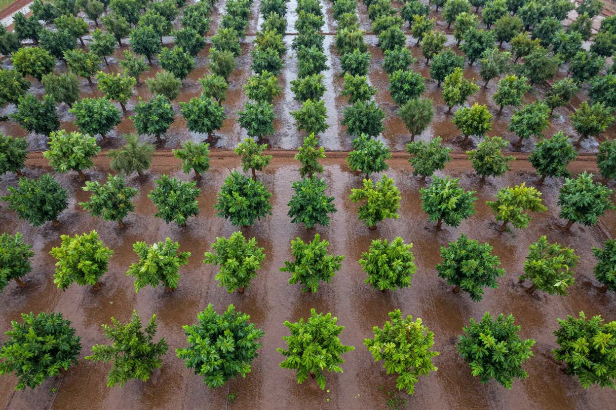
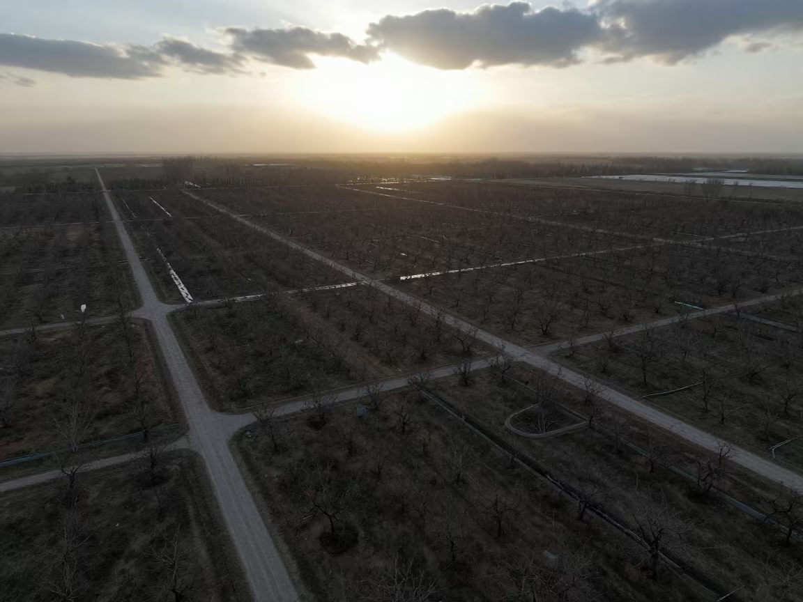
Aerial View of Mali Orchards in Rainy Season
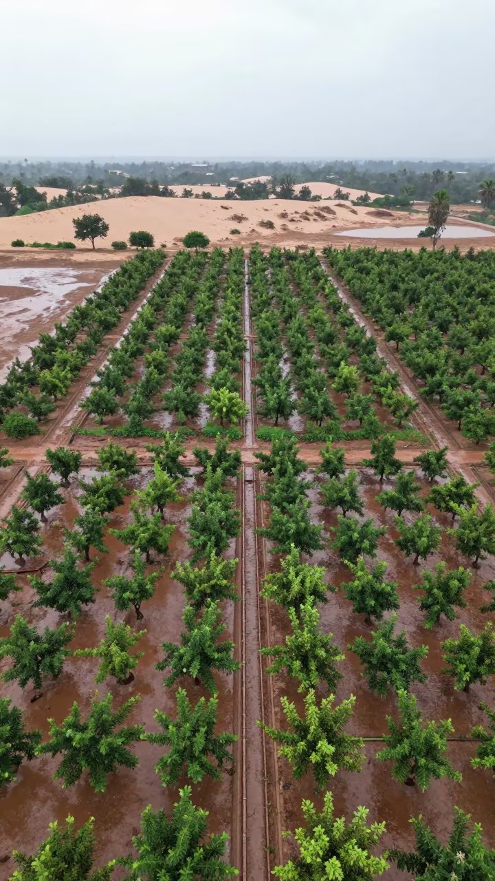
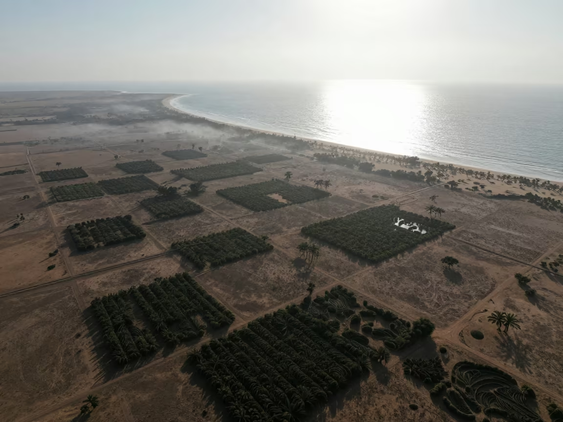
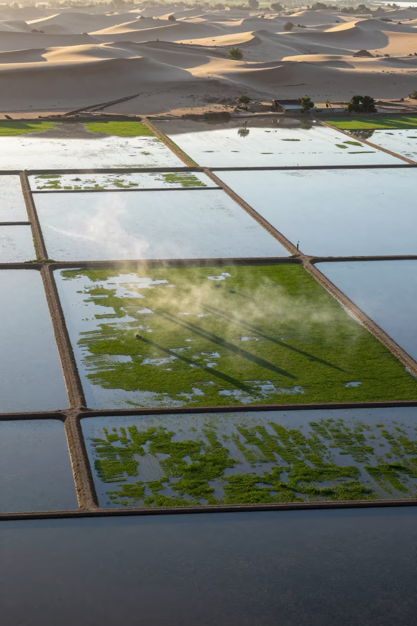
Aerial Orchard Grids Beside Dunes
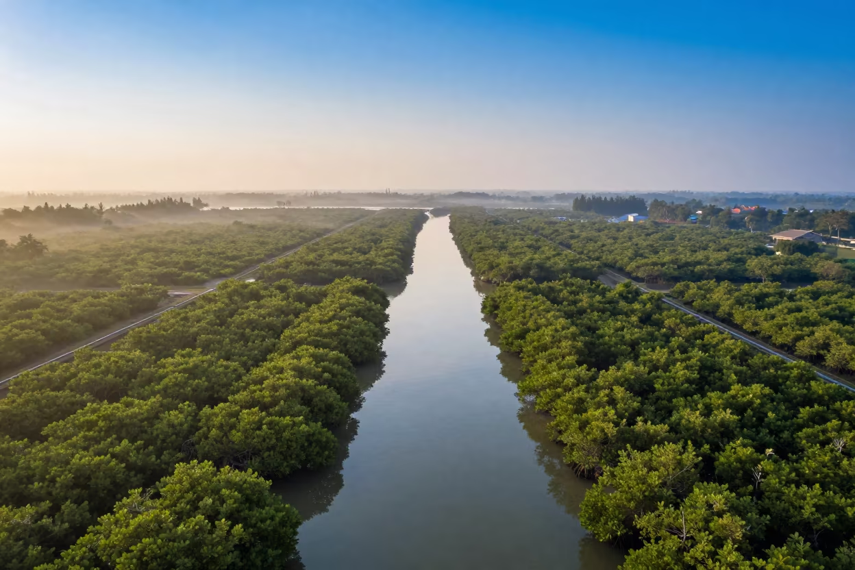
Dawn Mangrove Channels Aerial View Near Jakarta
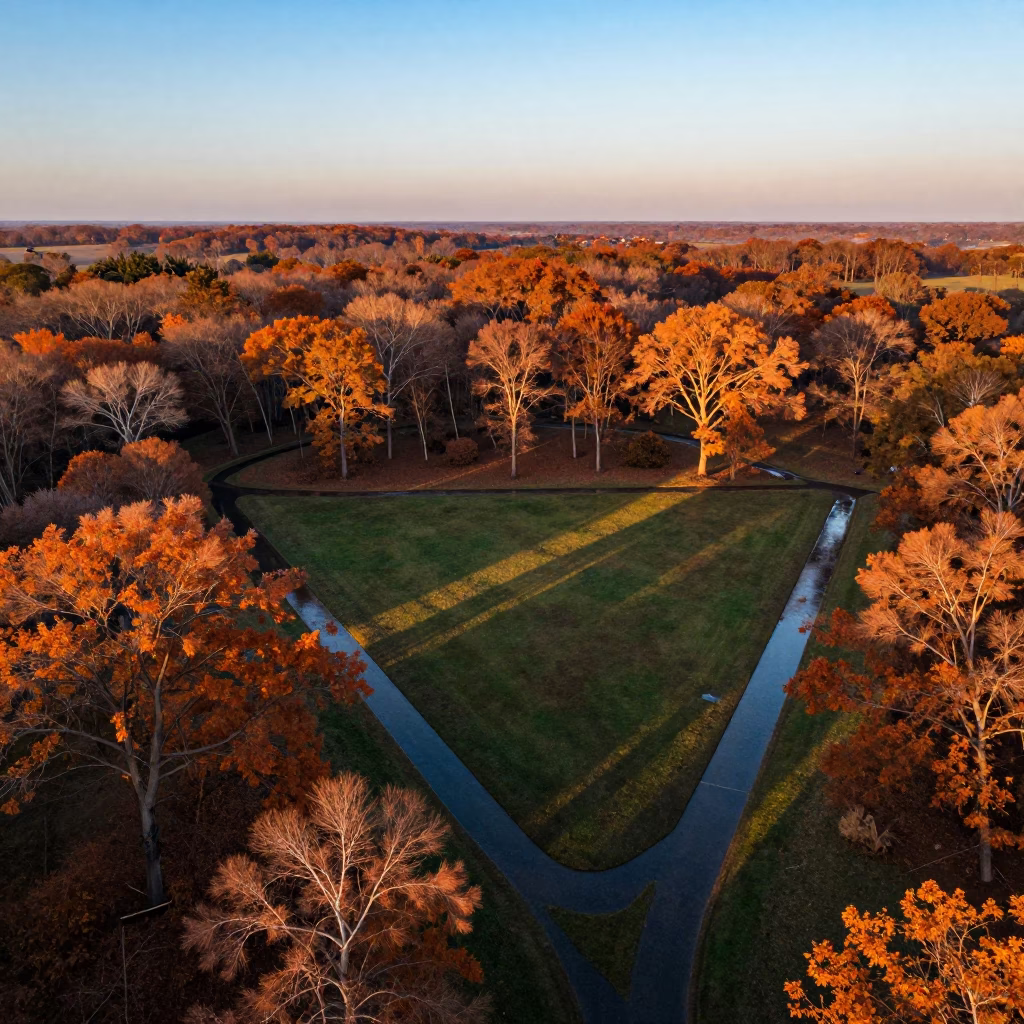
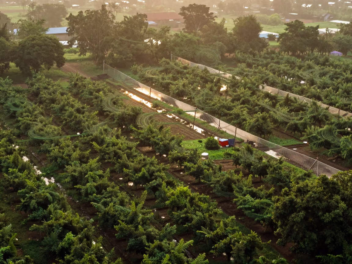
Aerial autumn forest sunset irrigation geometry Arua
Aerial Orchard Grids Morning Haze Low Sun Bokhtar
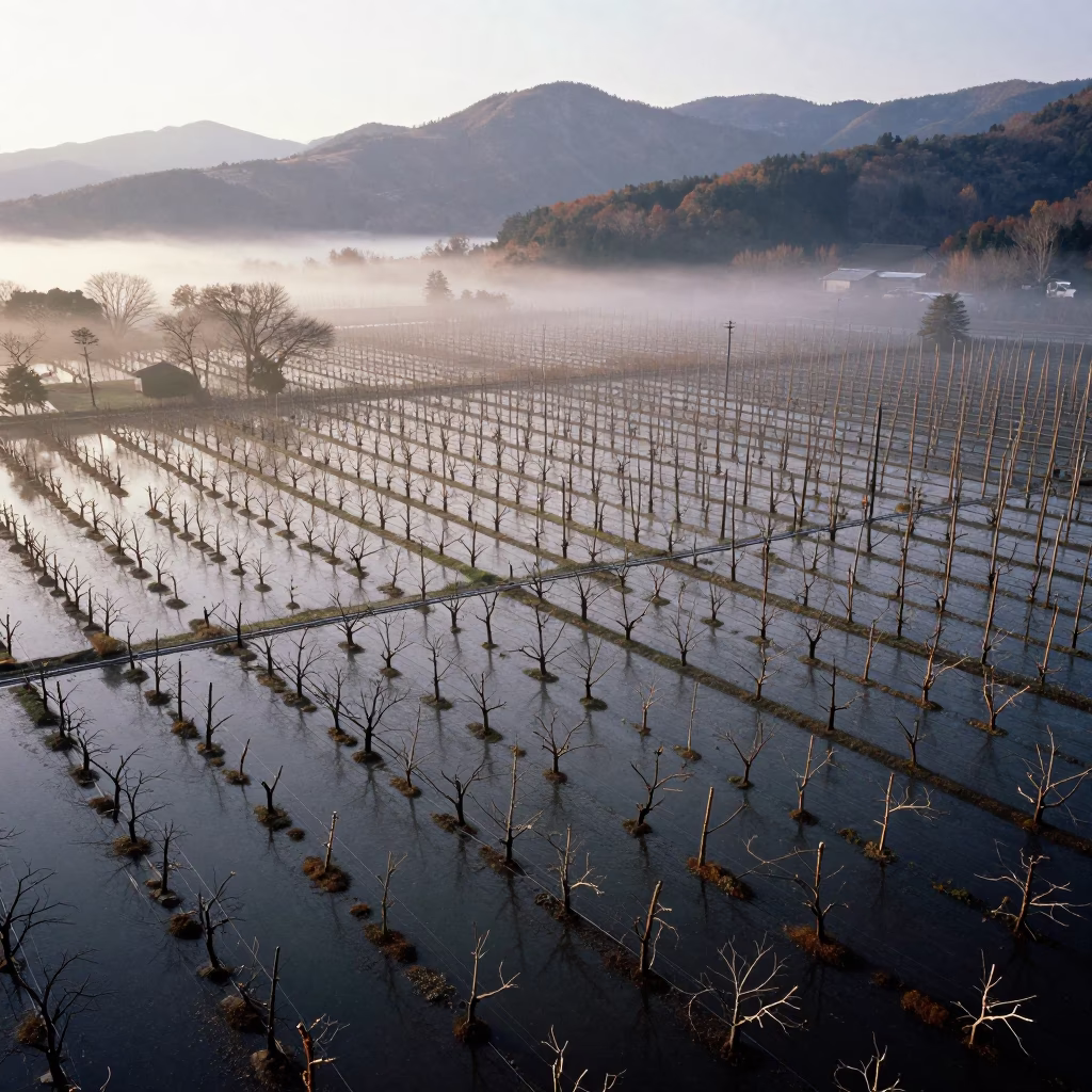
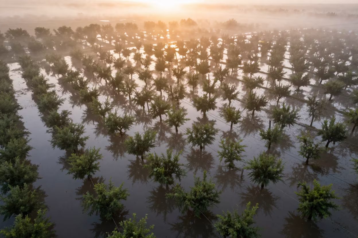
Drone View Flooded Autumn Japanese Orchard
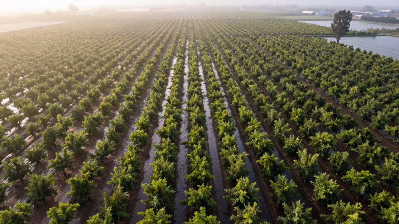
Dawn Drone View of Orchards in Florida Paddies
Chilean Orchard Aerial View After Rain
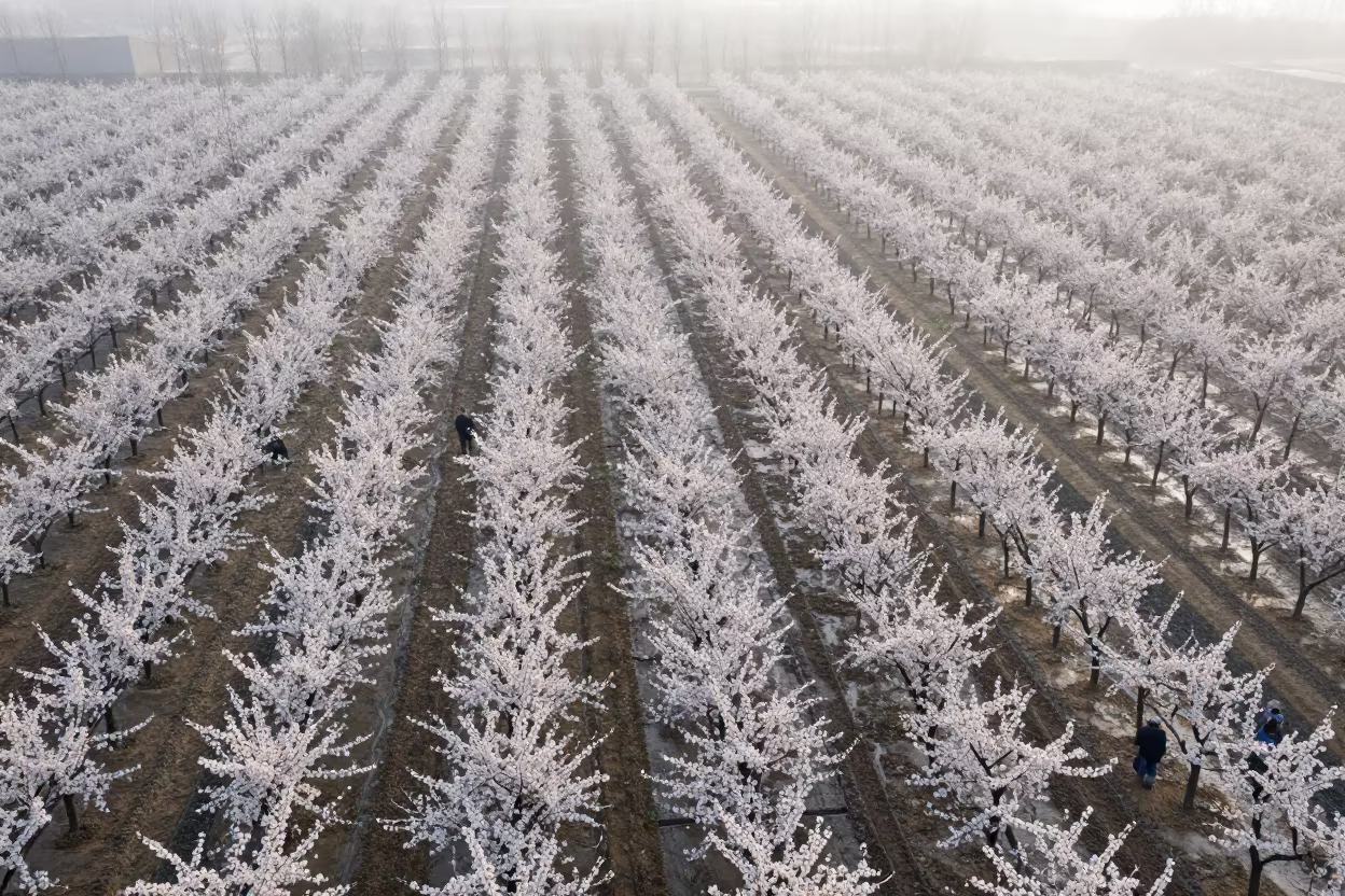
Aerial View of Cherry Orchard Dawn in Zhengzhou
Tree Rings Over Khartoum Orchard Canopy
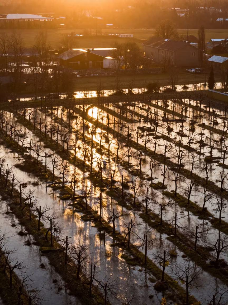
Norwegian Orchard Flood Reflections Golden Hour
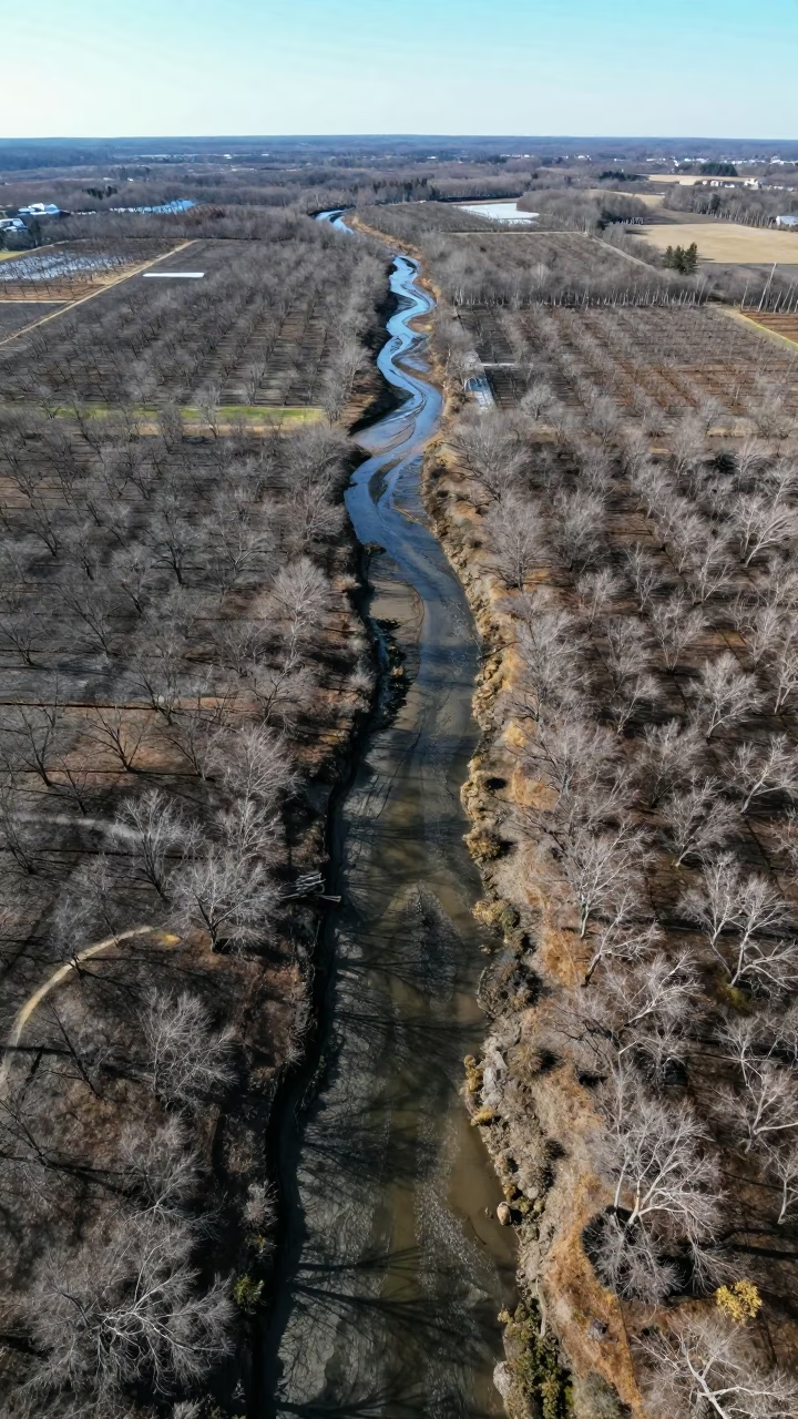
Aerial Maine Tidal Creeks Early Winter Drainage Lines
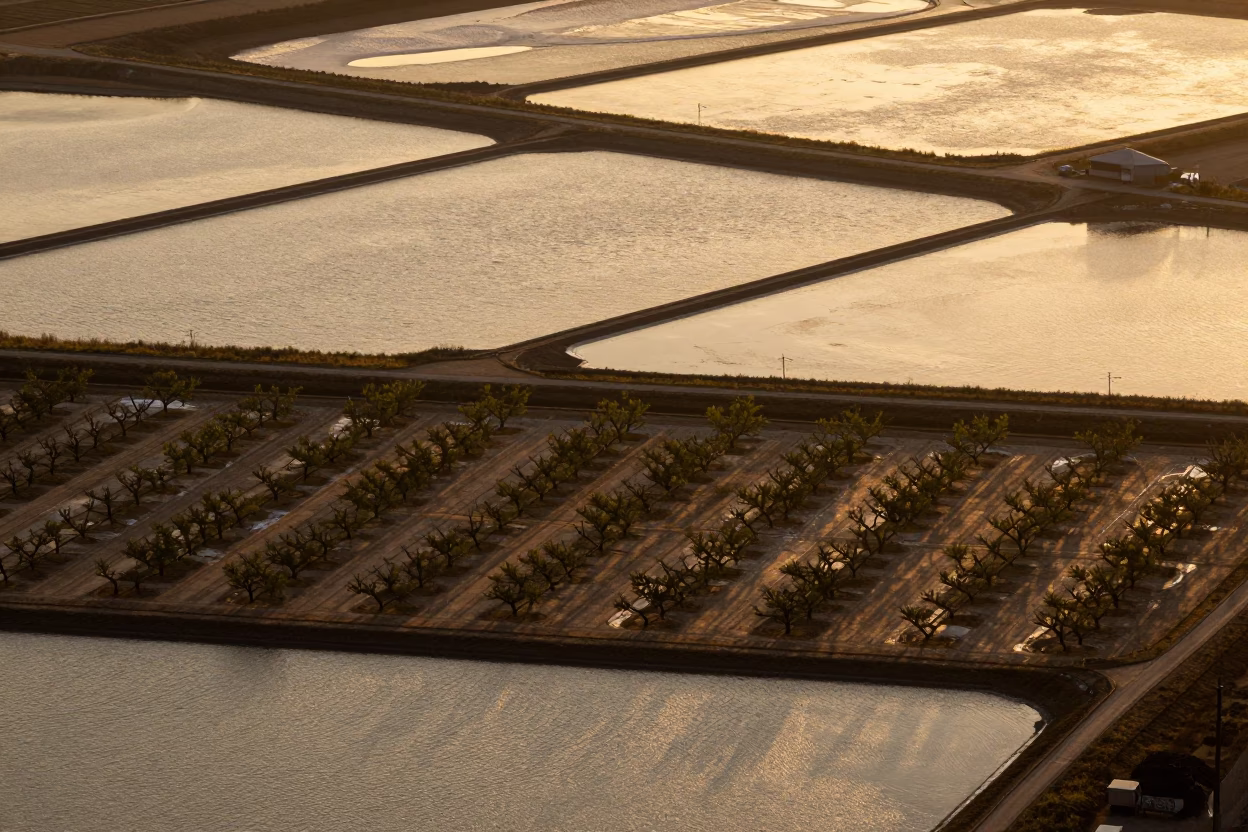
Aerial Salt Ponds and Orchard Grids at Golden Hour
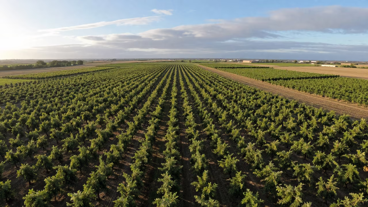
Aerial Patchwork Orchards Under Dawn Clouds
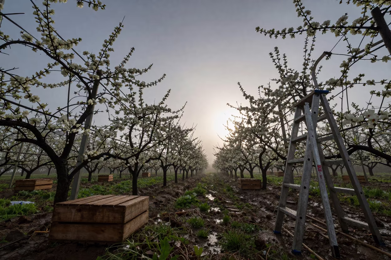
Orchard Rows Blossoming Low Angle Morning Light
Honeyed Evening Flooded Turkish Orchard Aerial View
Aerial View of Colorado Orchards at Sunset
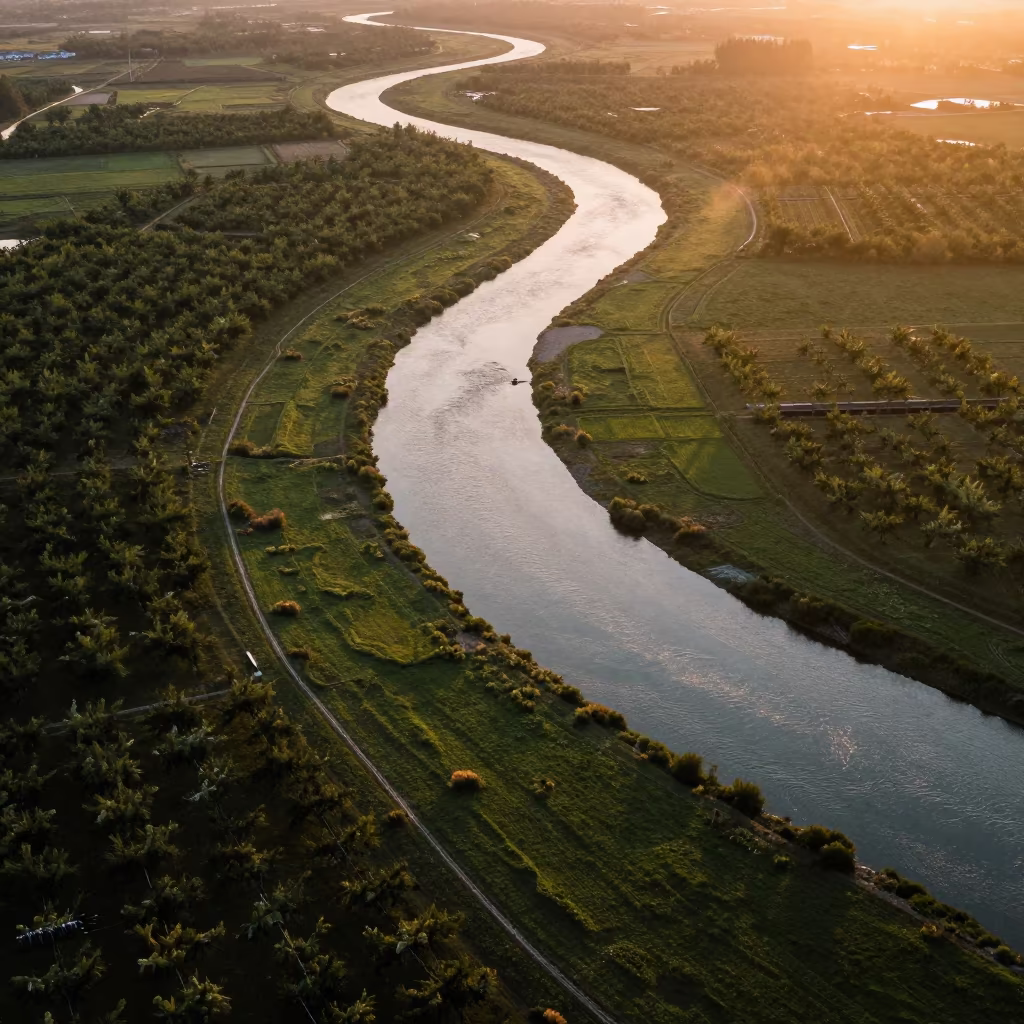
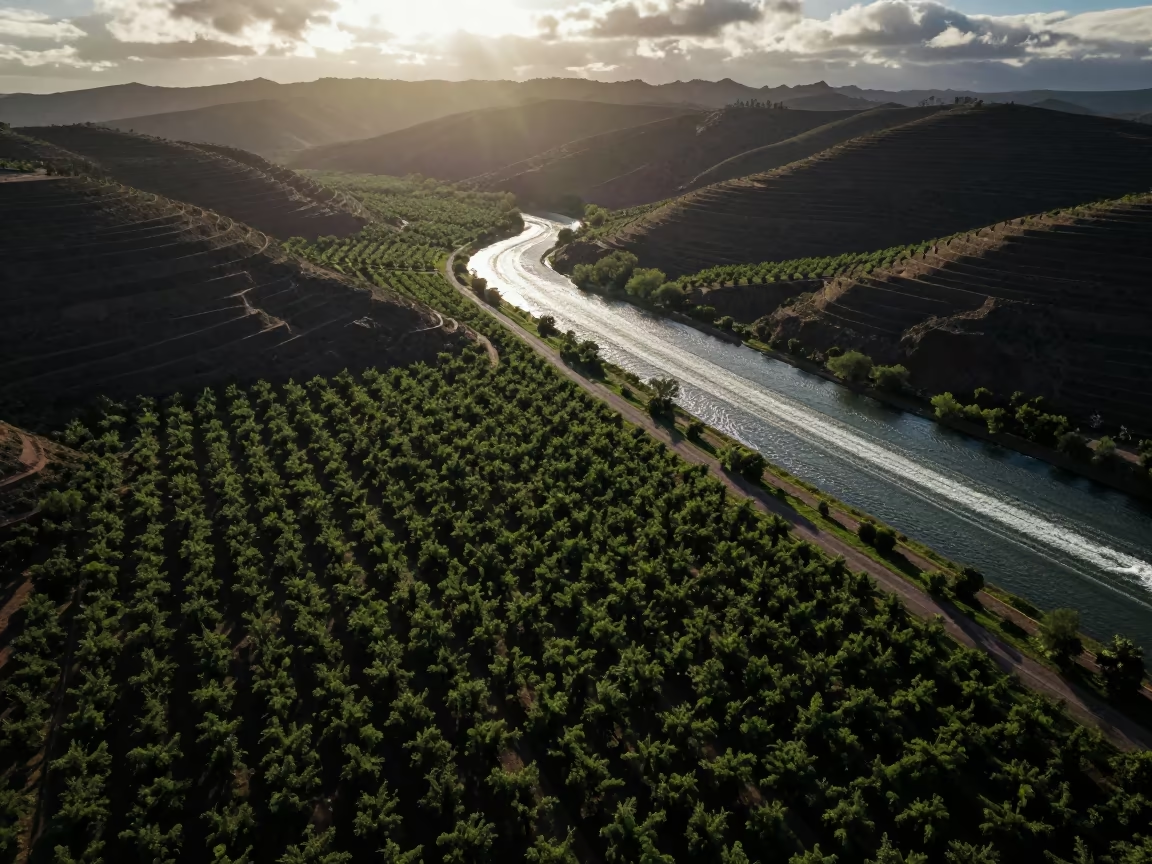
Aerial River Through Sichuan Orchards
Aerial orchard grids beside boat wakes at dawn
Aerial Patchwork Orchards Reflected Water Light

Aerial View of Rice Terraces at Dawn
Irrigation Canals Silhouetted in Late Afternoon Light
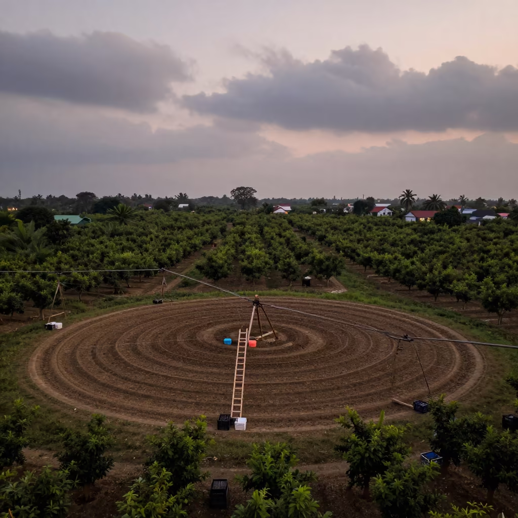
Circular Irrigation Patterns in Manila Orchard
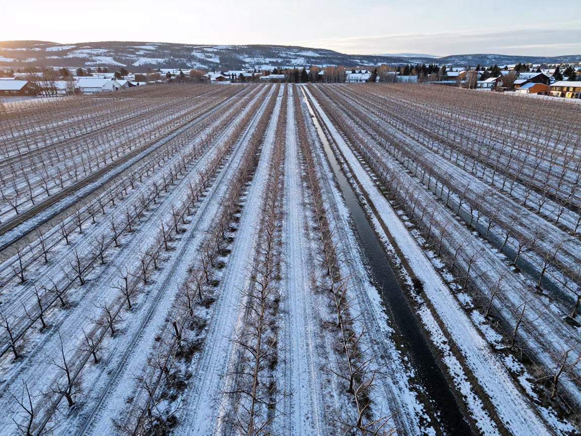
Winter orchard rows striped by snow and irrigation water
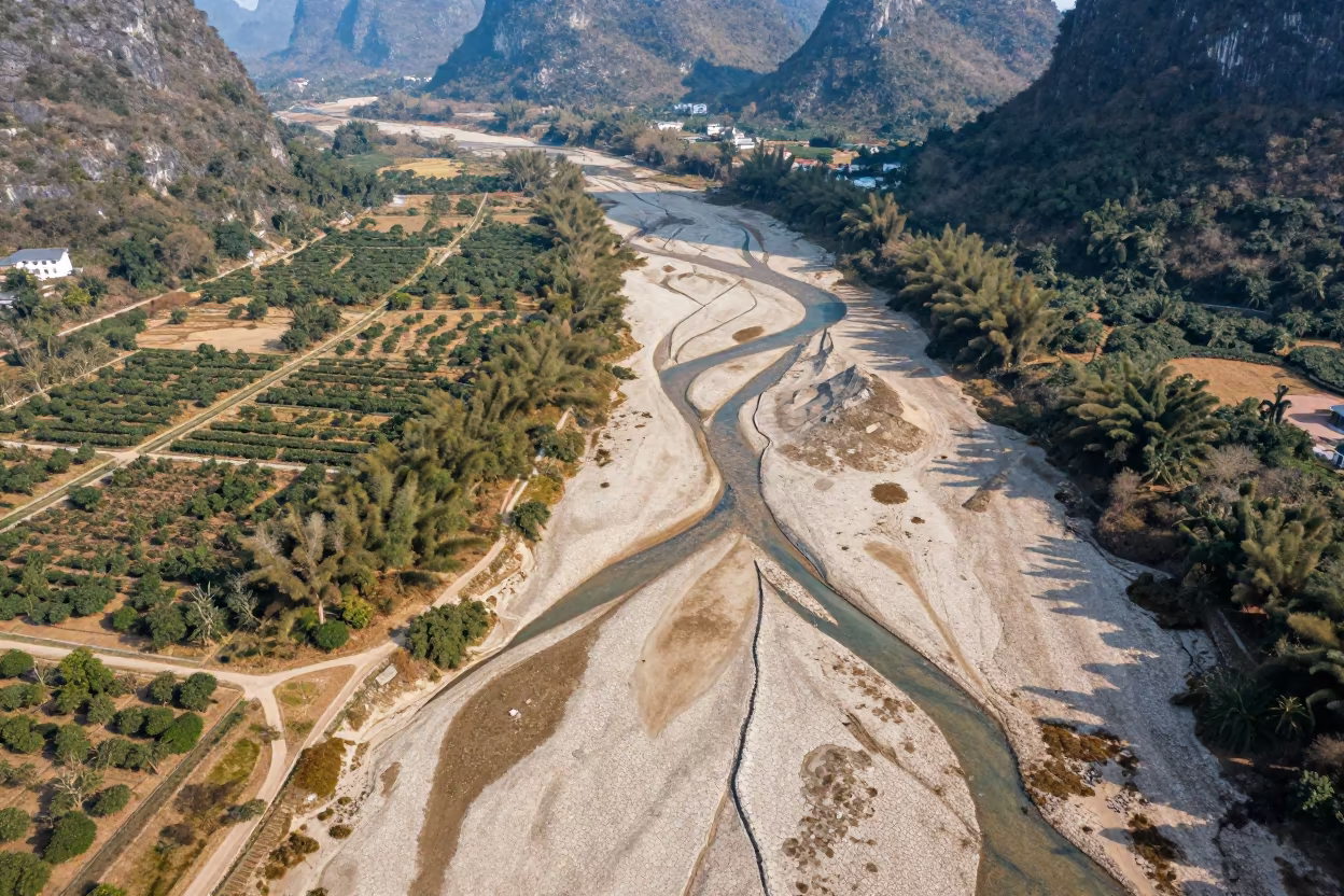
Dry River Veins Branching Over Guilin Orchards
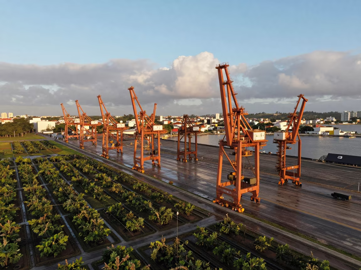
Harbor Cranes Over Salvador Orchards
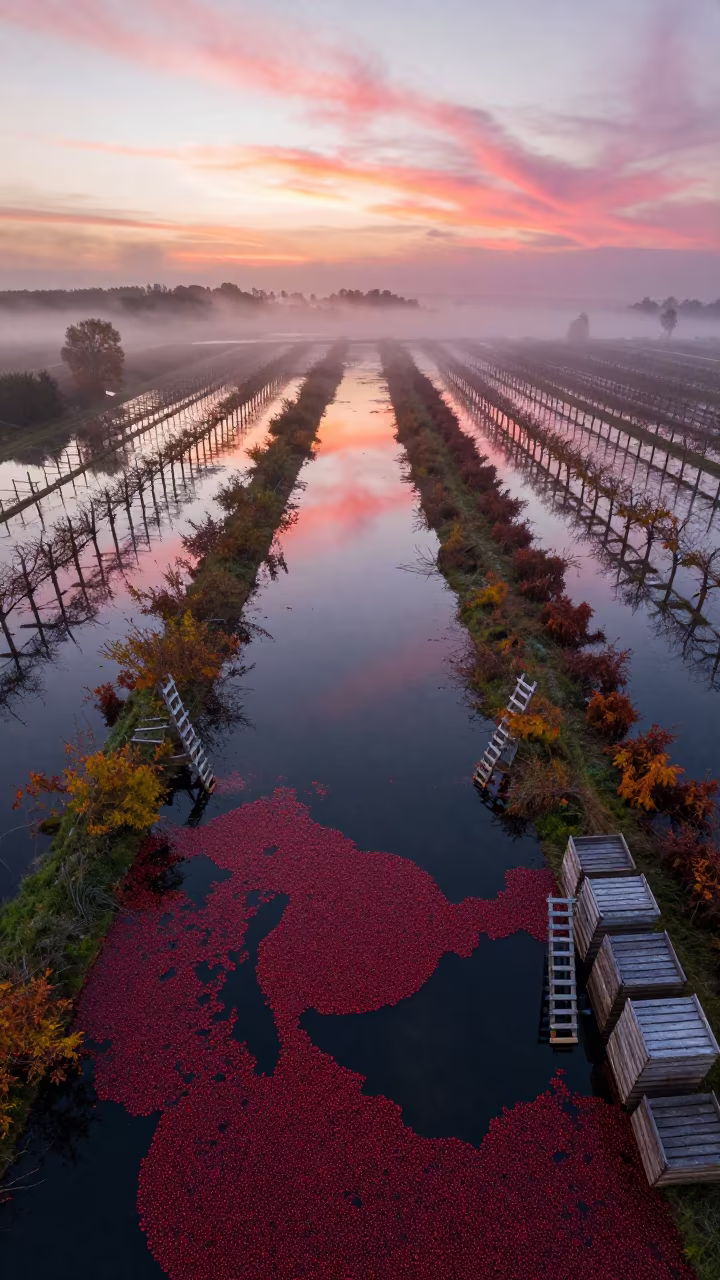
Aerial View of Flooded Cranberry Bogs at Dawn
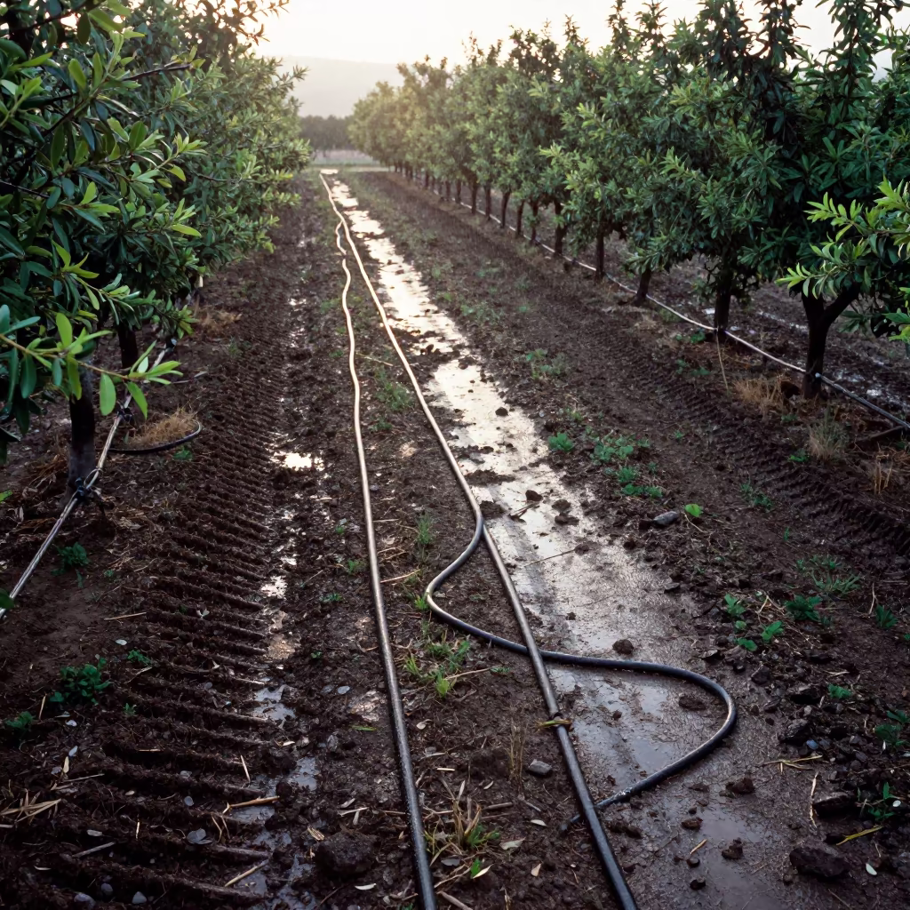
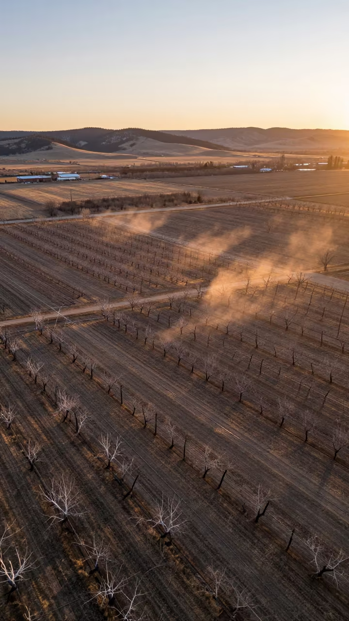
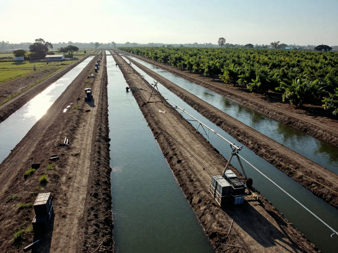
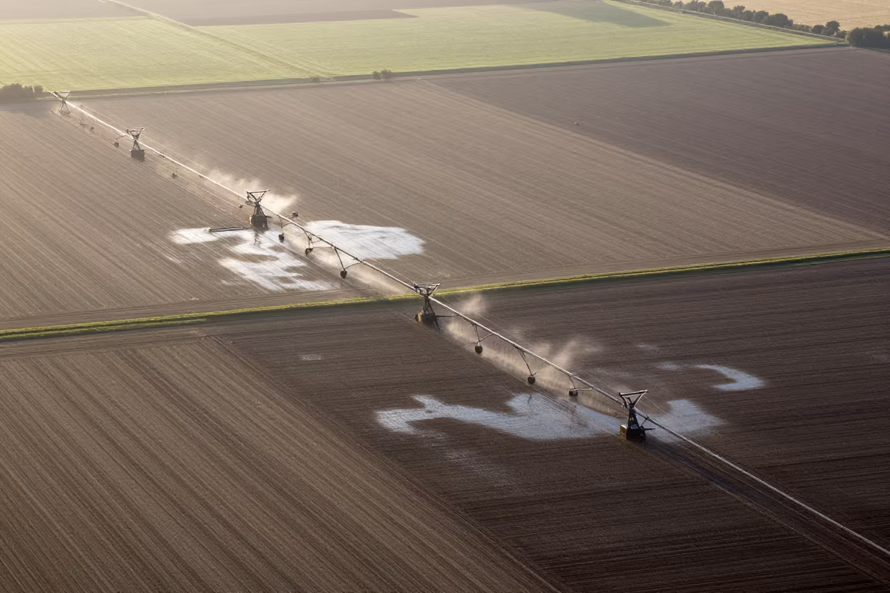
Almond Orchard Hoses Striped Across Dark Soil

Terraced Tea Fields Monsoon Sunrise Night Sky
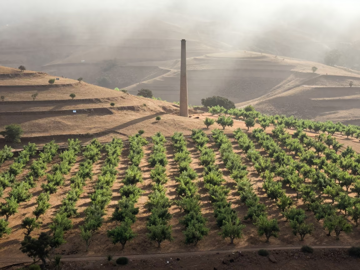
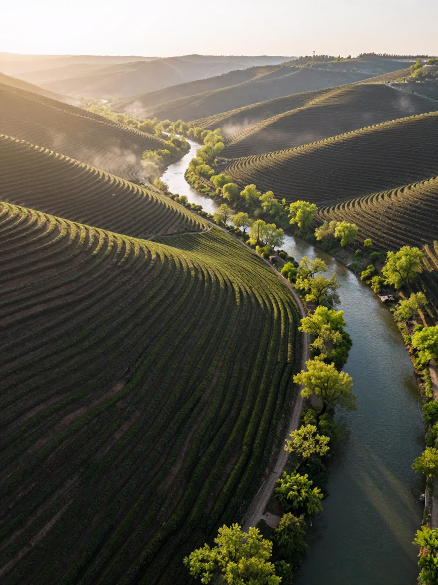
Aerial Orchard Grids Over Misty Hills
Aerial Braided Floodwaters Near Ahvaz at Dawn
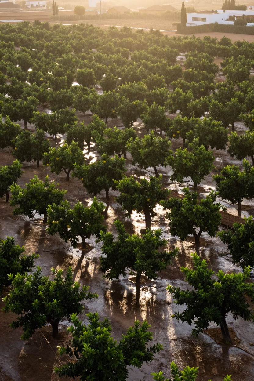
Aerial Patchwork Orchards Sunset Rain Alicante
Monsoon Orchard Patterns Above Kamsar
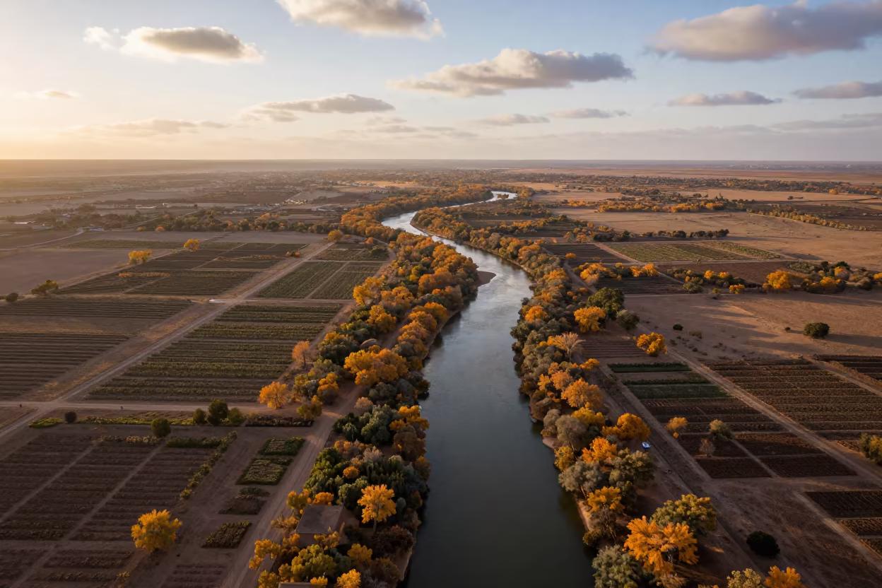
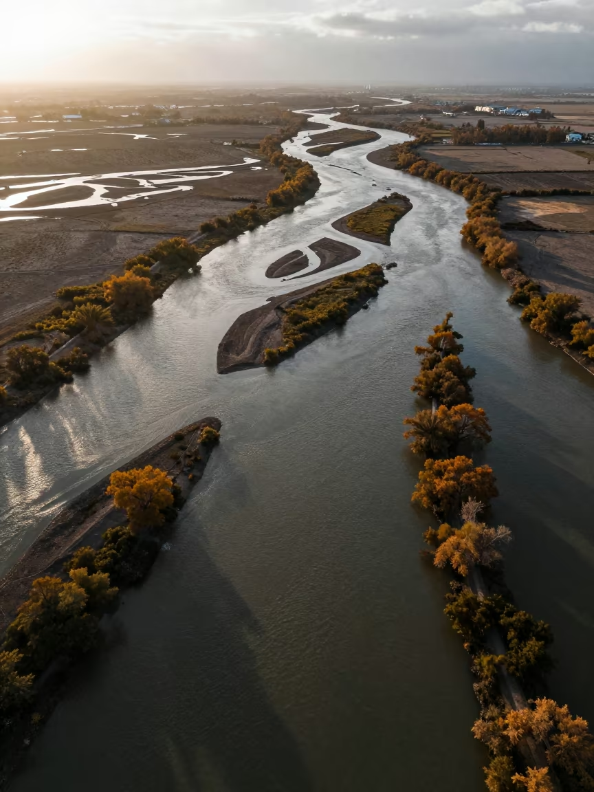
Aerial View of Winding River Through Autumn Forest

Aerial View of Hubei Irrigation Fields at Dawn
Aerial View of Irrigation Patterns Near Chelmsford
Dawn Shadows Over Rice Terraces Near İnegöl
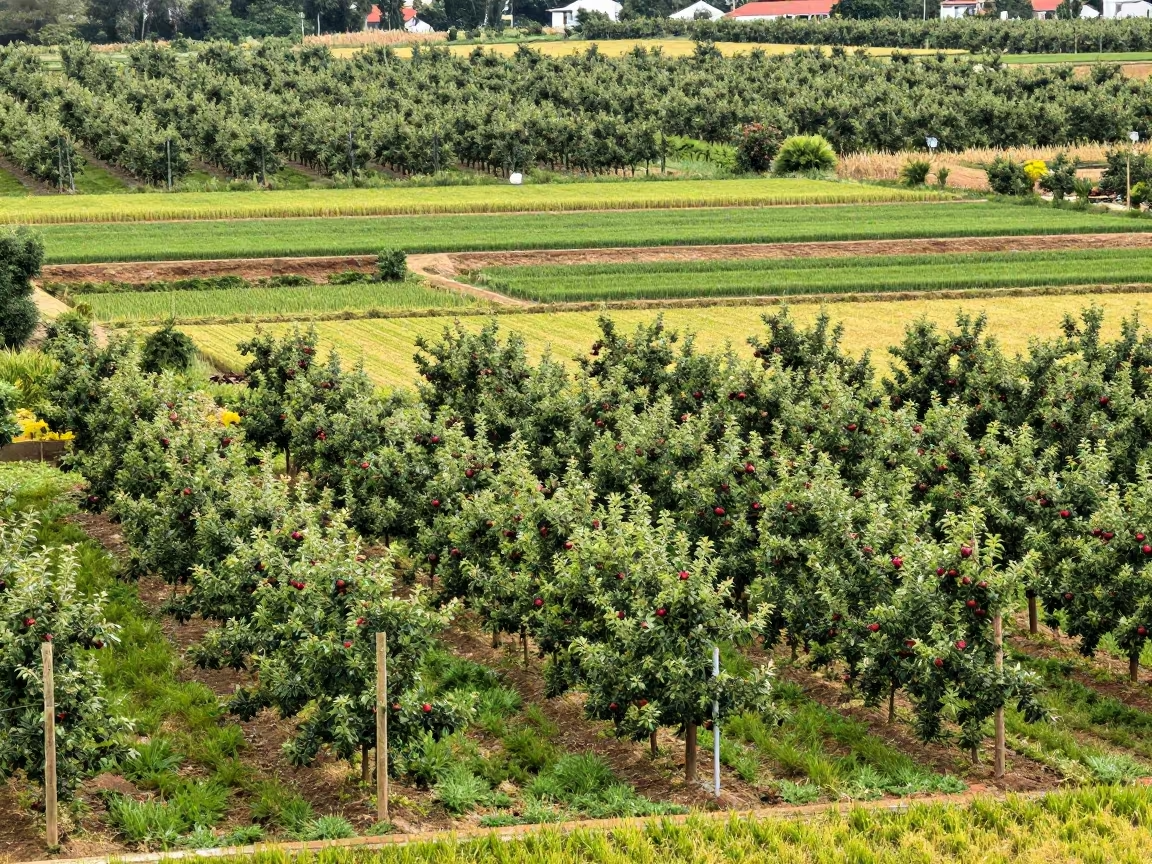
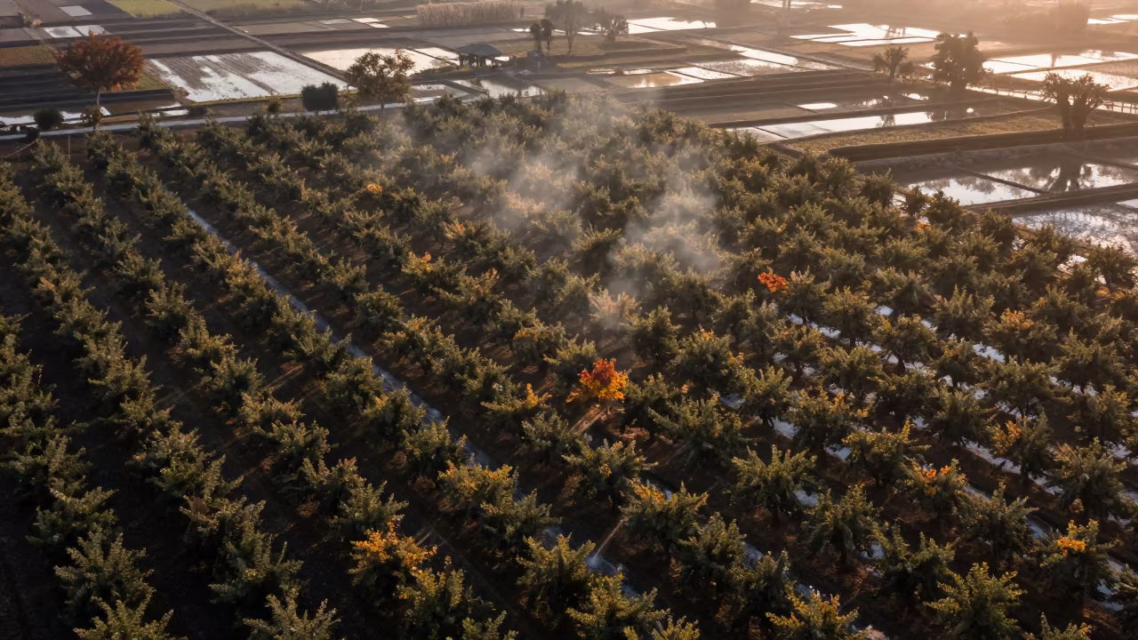
Apple Orchard Amidst Terraced Rice Paddies
Comments