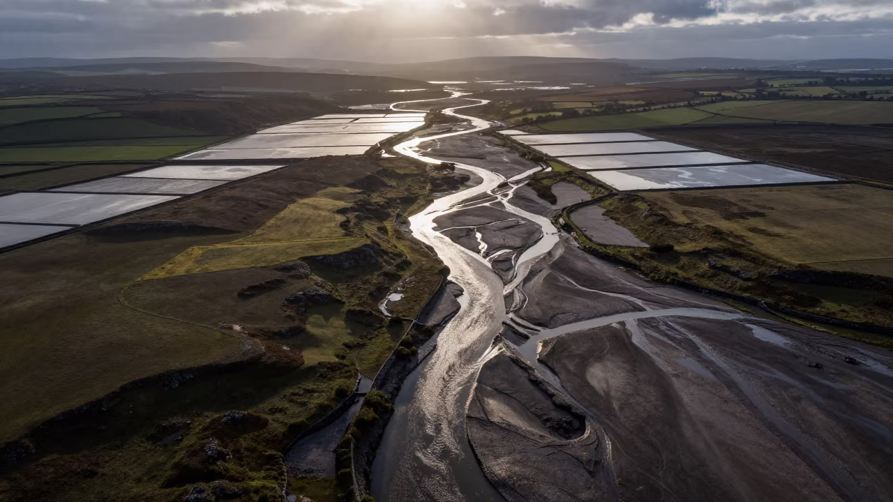
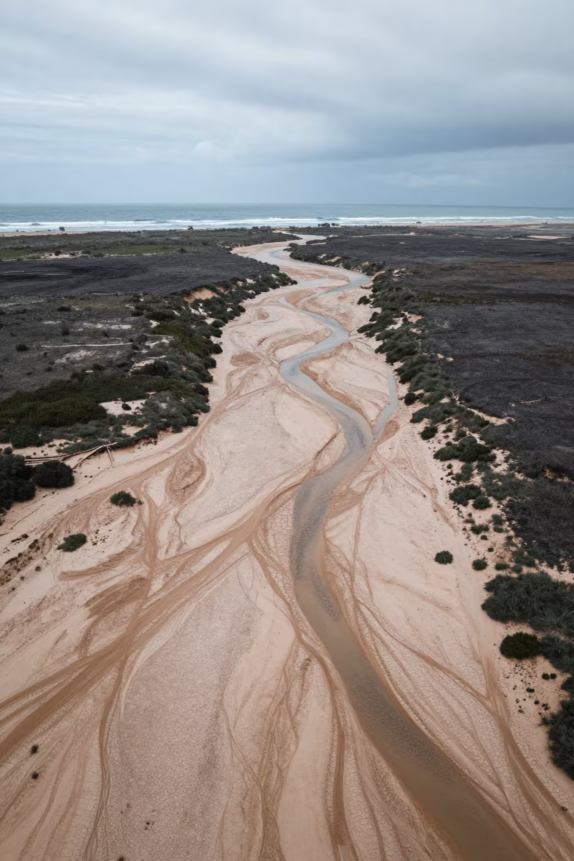
Aerial View of Dry River Bed Near Sinfra
Heavy gray clouds press low over the landscape near Sinfra, casting a soft, diffused light across a network of dry river beds that branch like veins across the earth. The wet season soil appears dark and saturated, against the pale, sandy channels carved deep into the ground. Long shadows stretch from the raised banks, showing the topography's depth and the branching geometry of the waterways. The perspective looks straight down, revealing the intricate pattern where the dry streams split and merge into the surrounding terrain. The texture of the eroded banks is rough and layered, while the channel floors remain smooth and pale. A faint green tint rests on the vegetation clinging to the edges of the waterways.
Free to download. CDN hosting requires a link back to this page. Terms
Similar Images
Dry Season River Delta Aerial View Near Merca
Vein-Like Dry River Bed Aerial View Northern Ireland
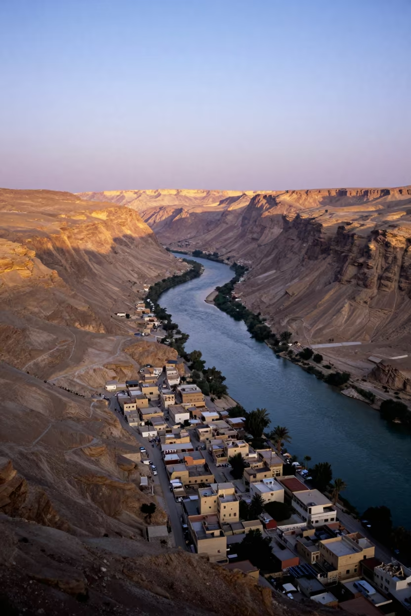
Aerial View of River in Sinai Canyon at Sunrise
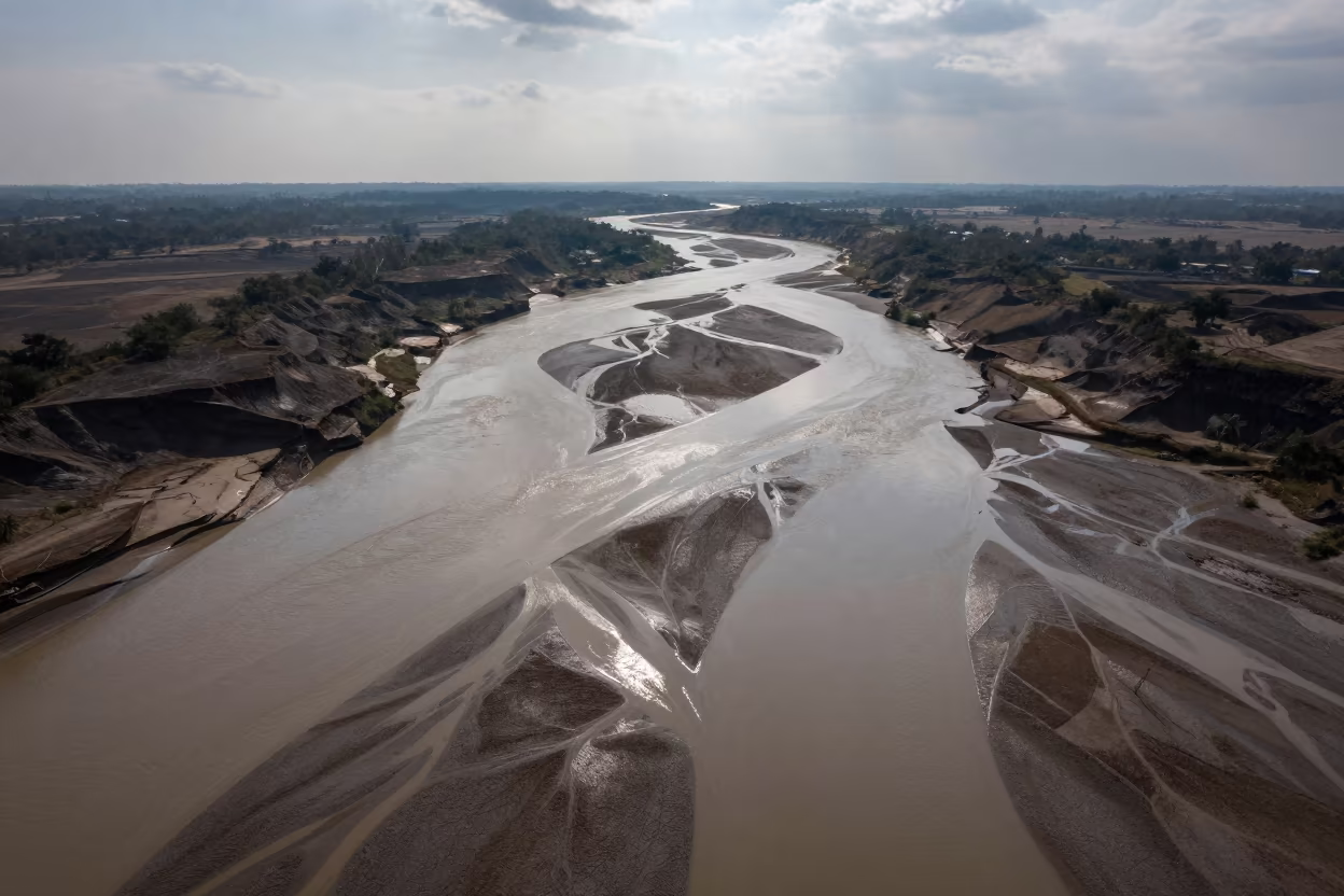
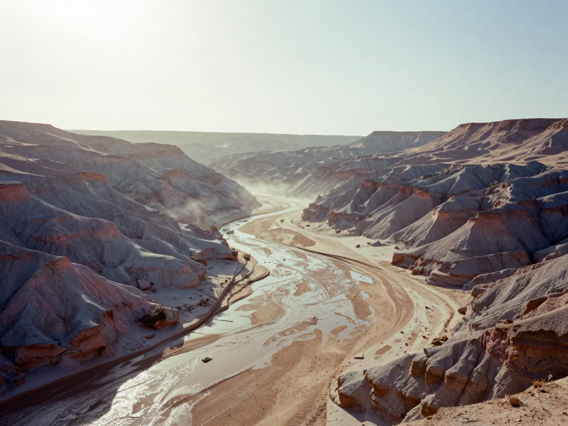
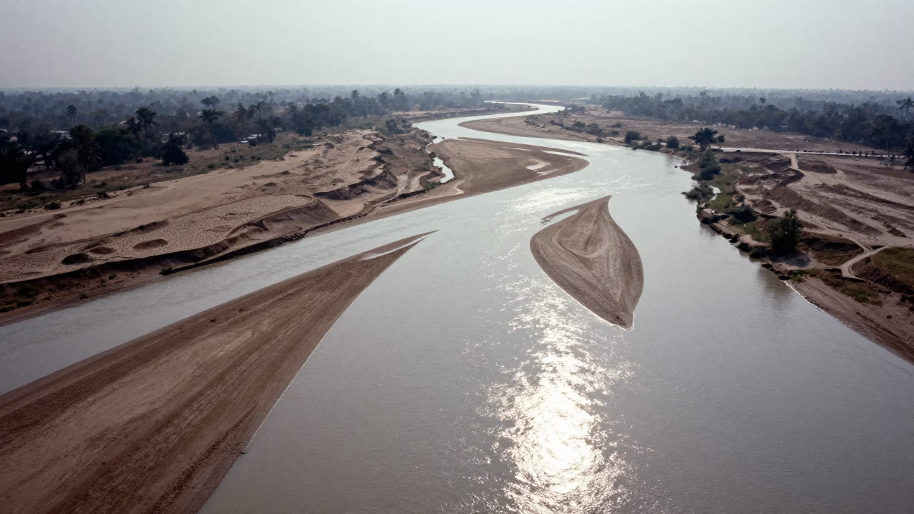
Aerial View of Dry River Bed Branching Like Veins
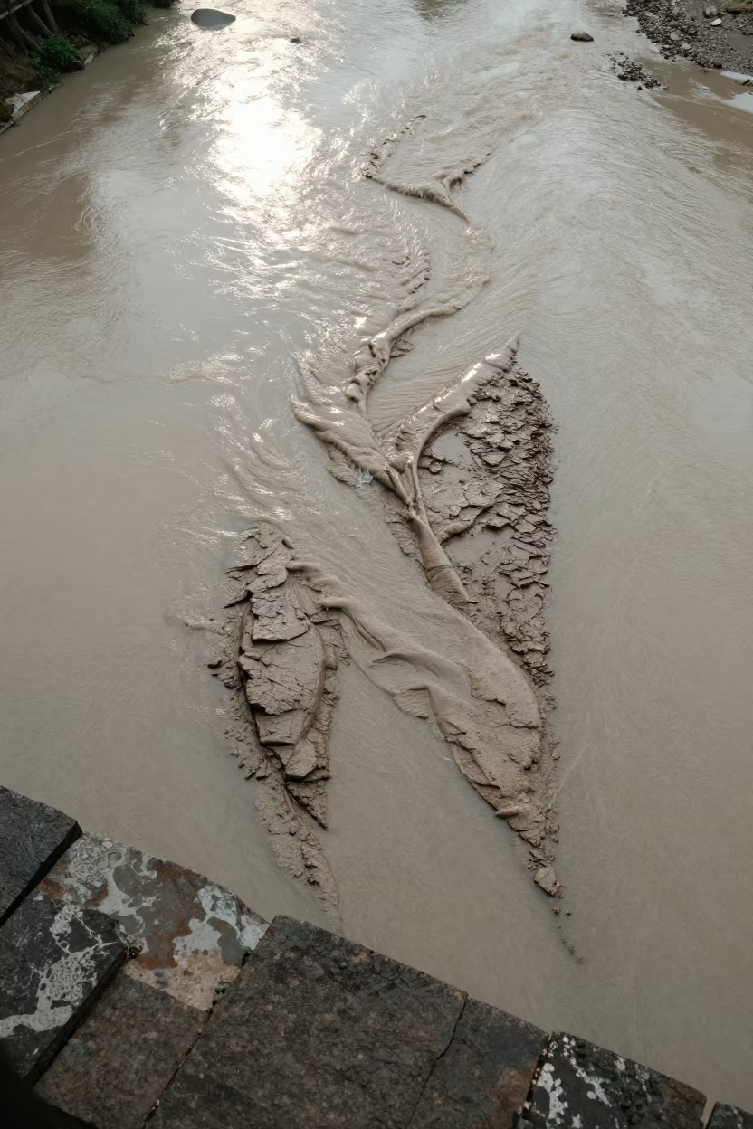
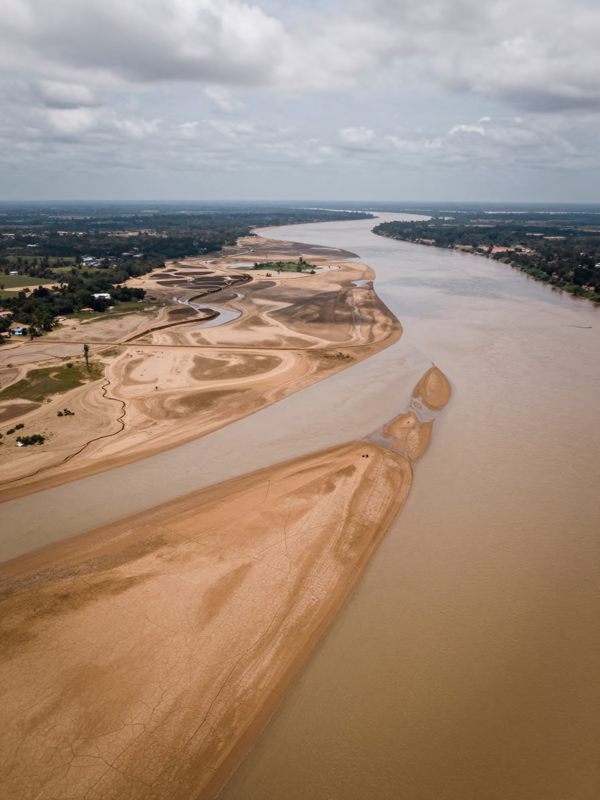
Aerial View of Braided River Silt Ledge
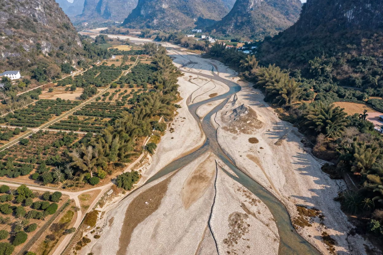
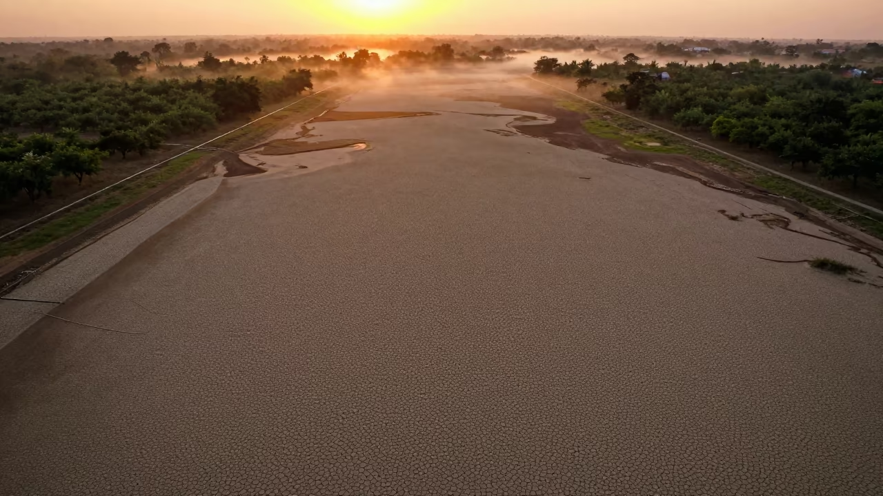
Dry River Veins Branching Over Guilin Orchards
Duplicated Dry River Bed Drone View Near Delhi
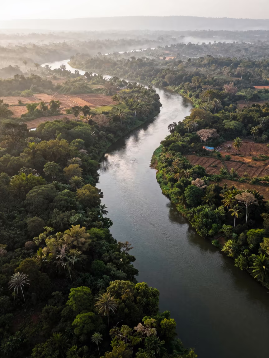
Aerial View of Serpentine River Through Jungle Canopy
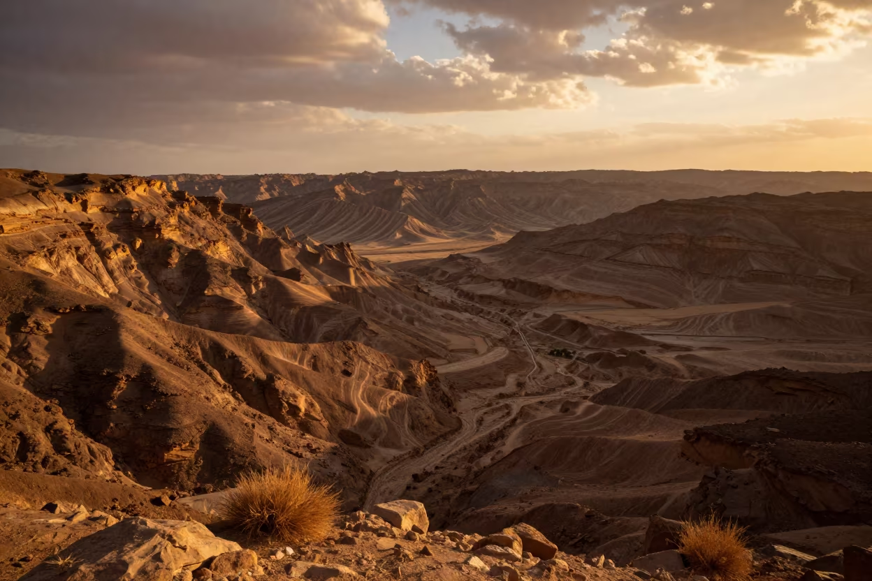
Aerial Canyon Shadow Ochre Plateau Near Isfahan
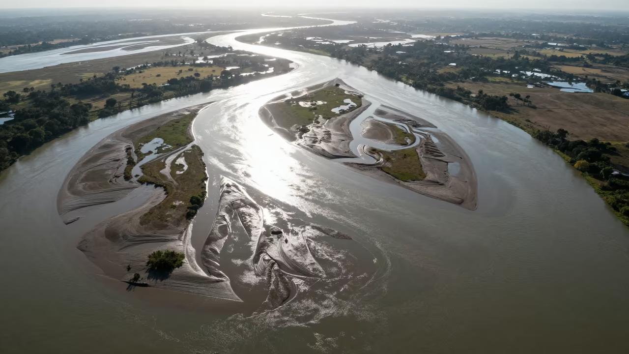
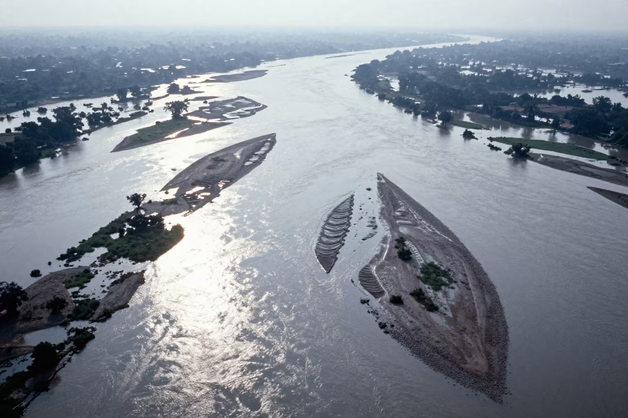
Aerial River Delta Braided Channels Cabimas
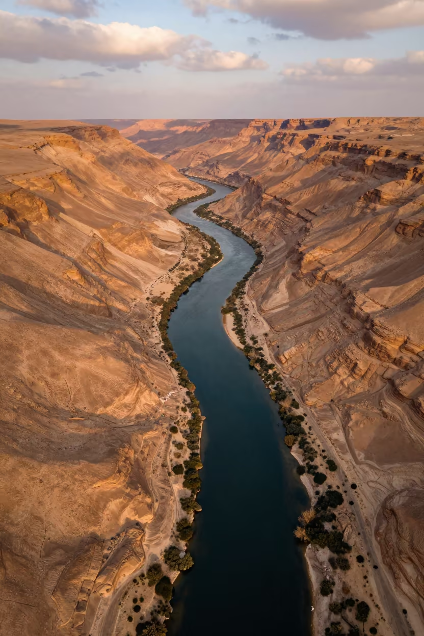
Sinai Canyon River Meanders Evening Light
Pink Grey Badlands Canyon Silhouette Floodplain
Cracked Mud Lakebed Sunset Aerial View Ranchi
Braided Floodwater Channels Aerial View
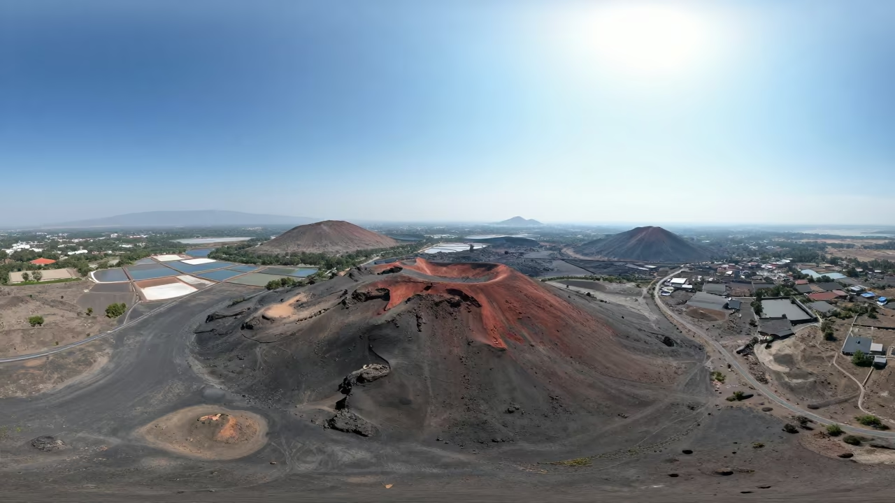
Aerial View of Desert Cinder Cones and Salt Ponds
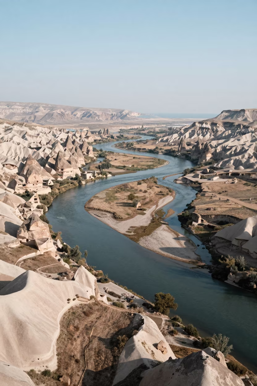
Aerial View of Cappadocia River Delta Branching
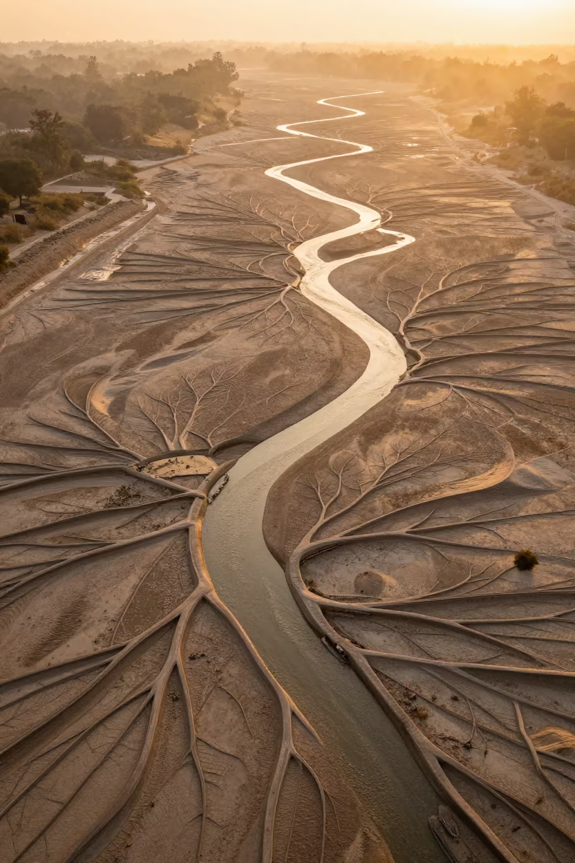
Aerial View of Braided River Channels at Dawn
Shandong Braided River Veins Aerial View
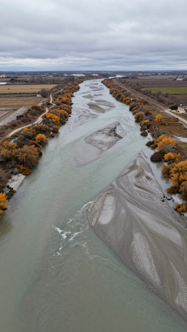
Braided River Silt Aerial View Campania Autumn
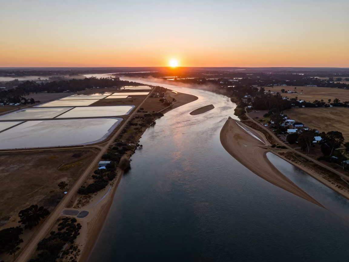
Aerial Sunset Over Salt Ponds and River Islands

Jeddah Sand Dunes Late Afternoon Ripple Patterns
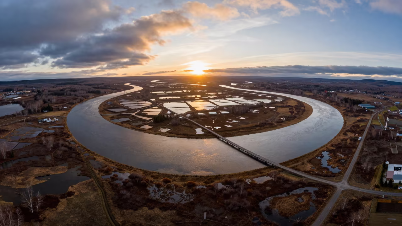
Aerial View of Kamchatka River Delta at Sunset
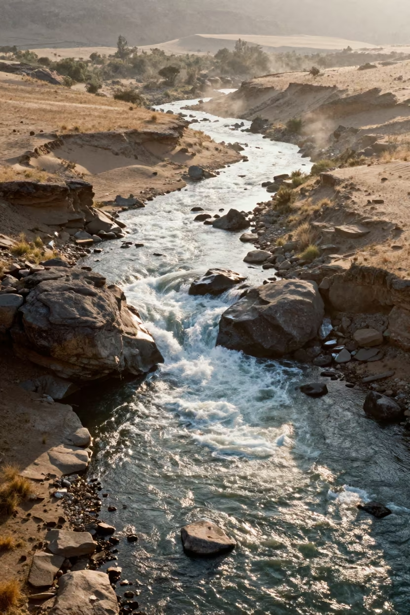
Aerial view of white rapids over Lesotho boulders
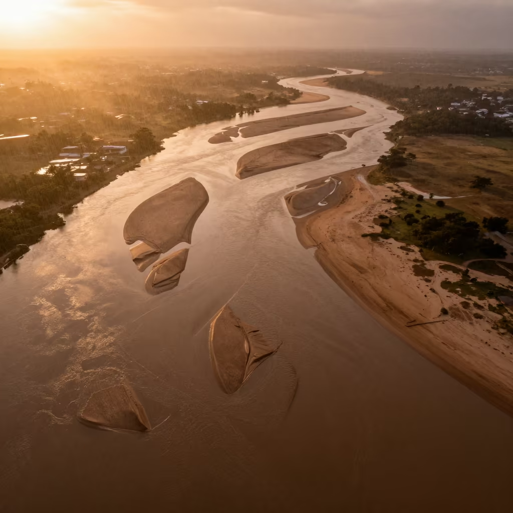
Aerial View of Braided River Delta in Copper Sunset Light
Glacial Silt Braided River Aerial Wet Season
Amber Sunset Over Sand Pit Near River Satna
Braided Glacial Rivers Sunset Winter Aerial View
Libyan Canyon River Aerial View Late Afternoon
Aerial View of Braided River Channels in Madhya Pradesh
Aerial view of braided river meanders
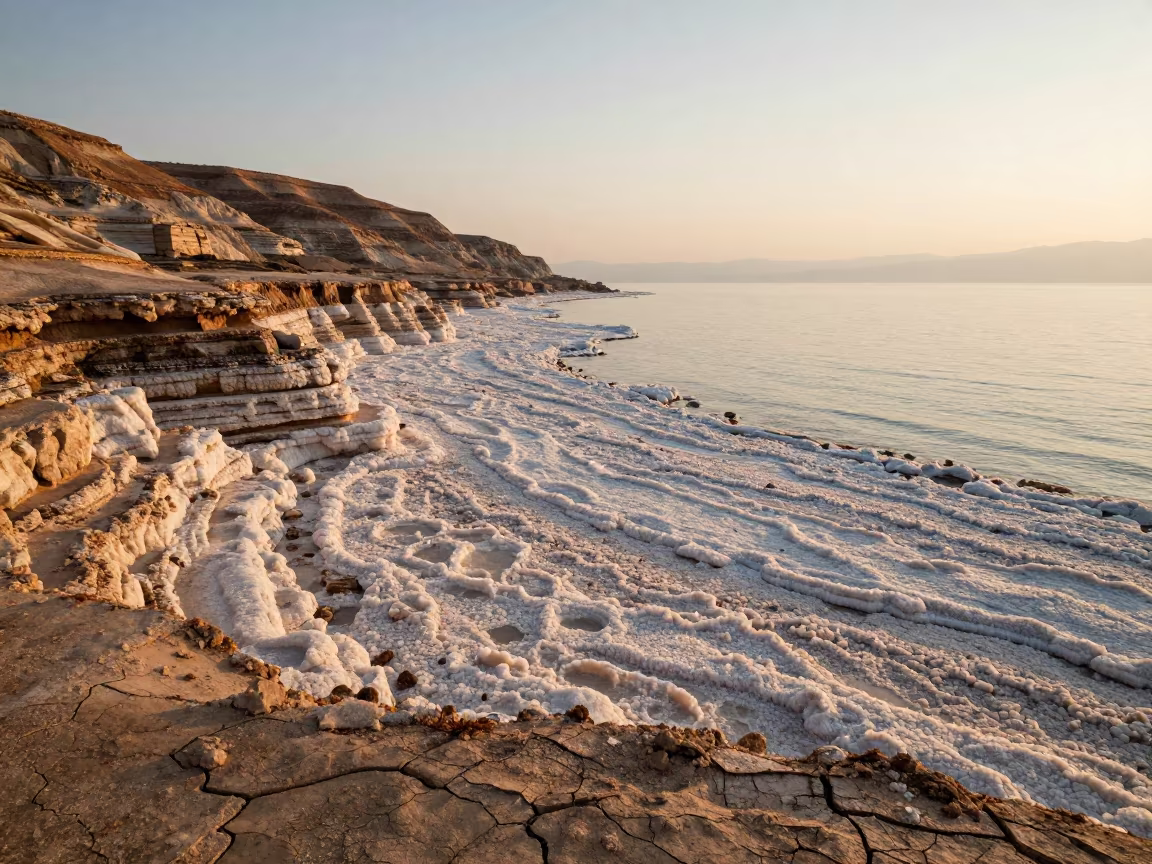
Salt Crystals on Dead Sea Shore at Golden Hour
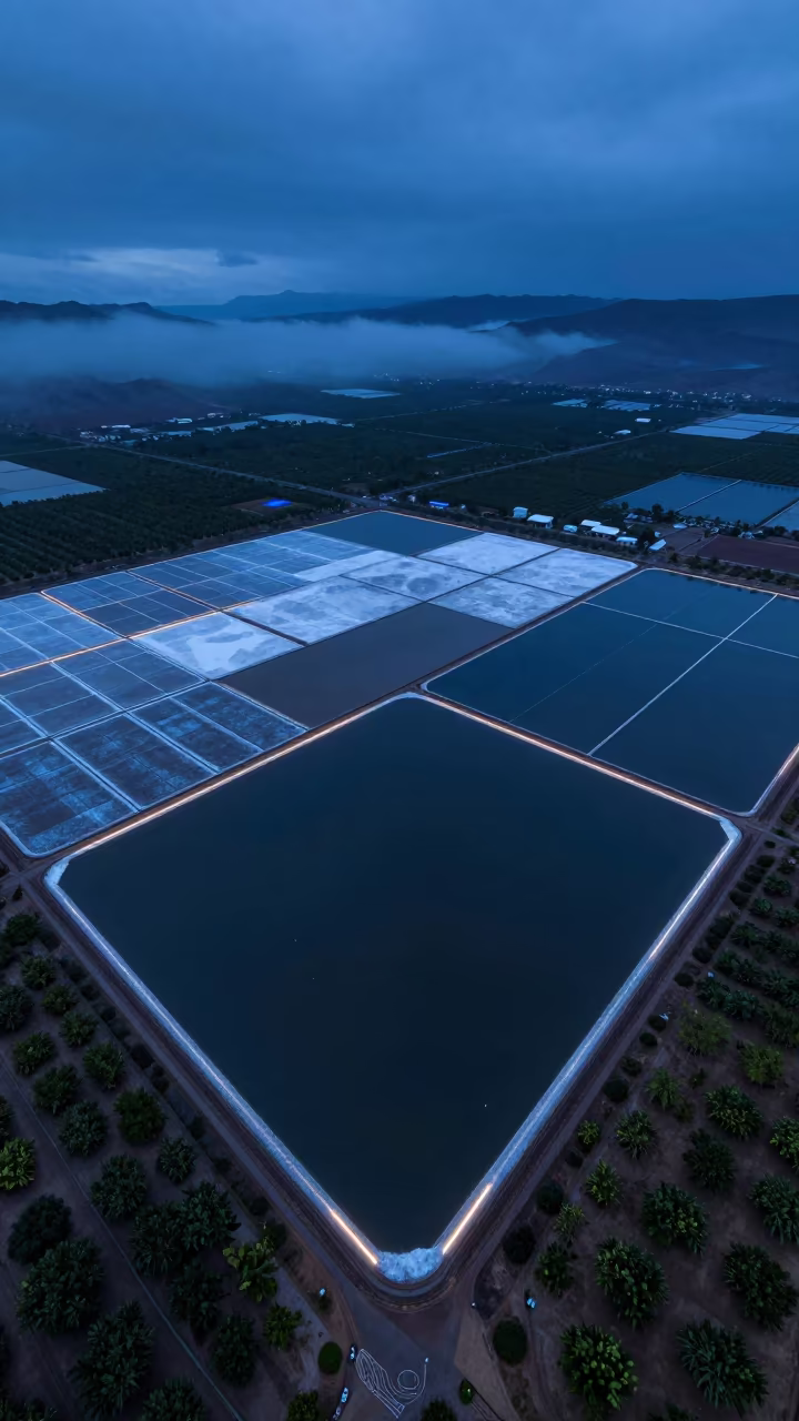
Aerial Salt Ponds at Blue Hour in Rift Valley
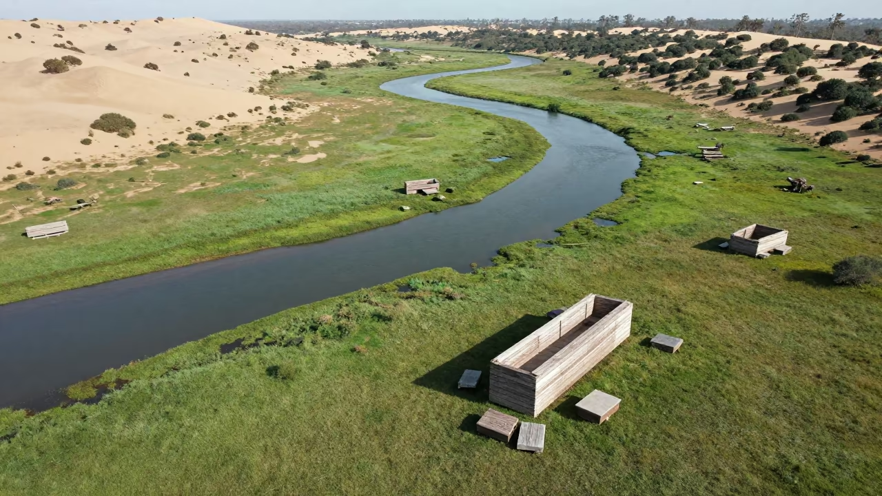
Surreal Stone Furniture River Zimbabwe Aerial
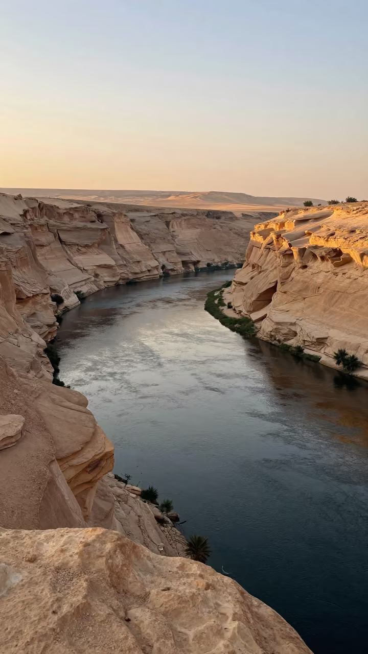
Egypt River Canyon Sediment Layers Sunset
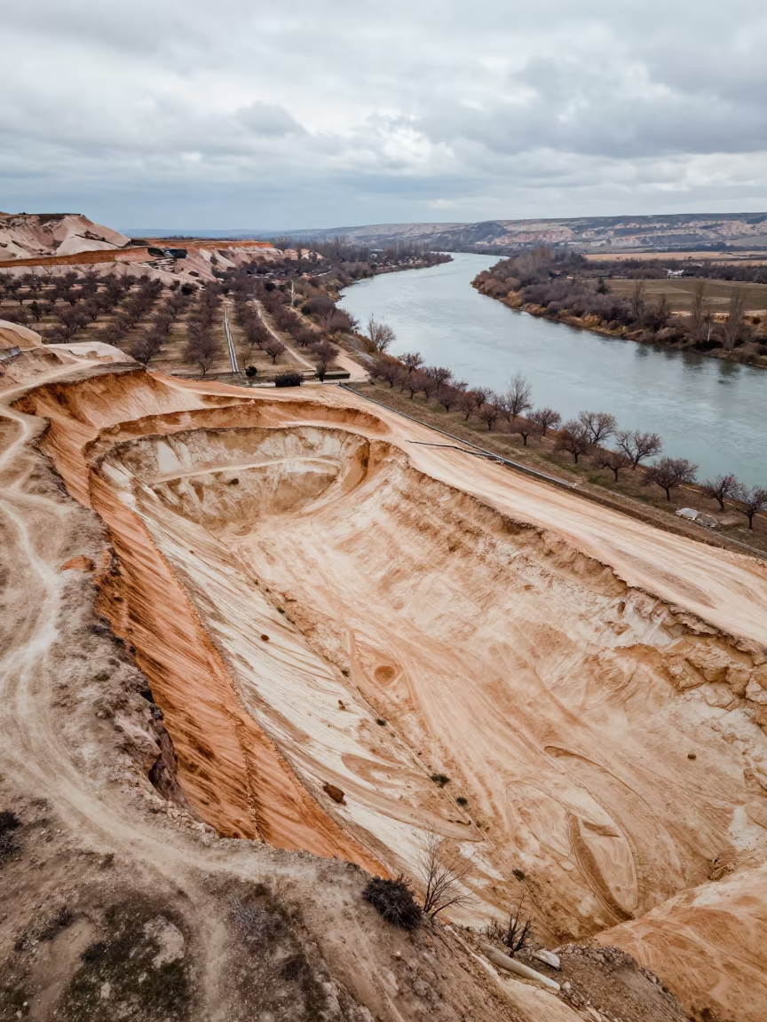
Aerial Sand Pit Winter Cappadocia River
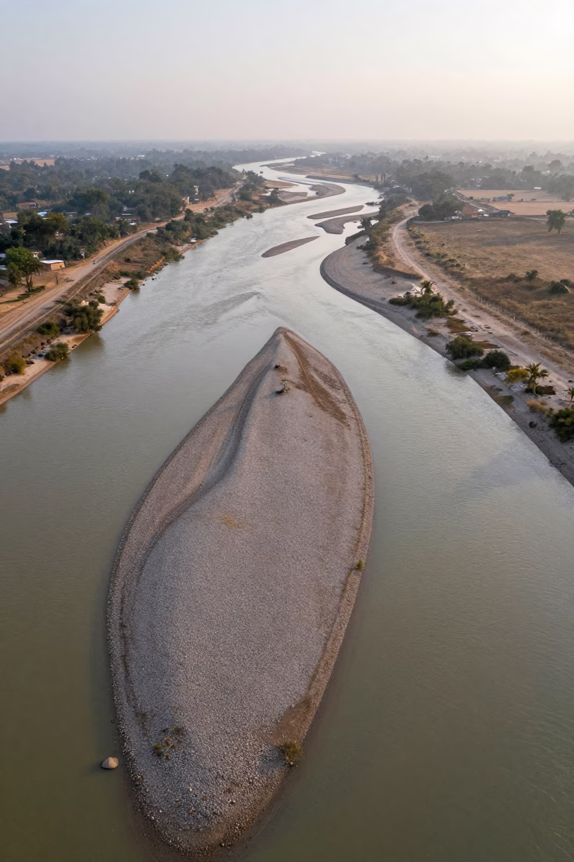
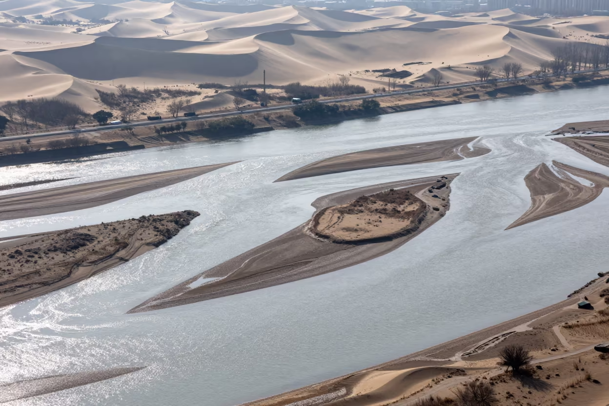
Aerial Braided River Islands Silver Water
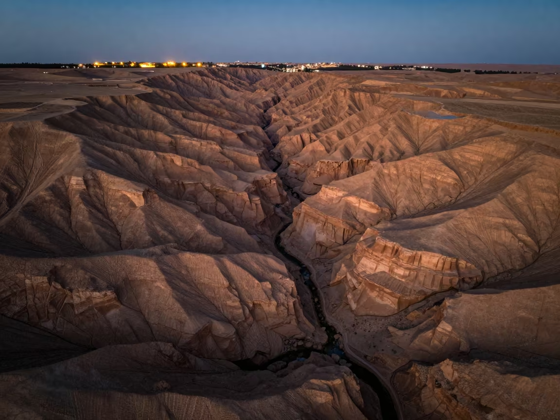
Striped Badlands Canyon Sinai Sunset Ridge
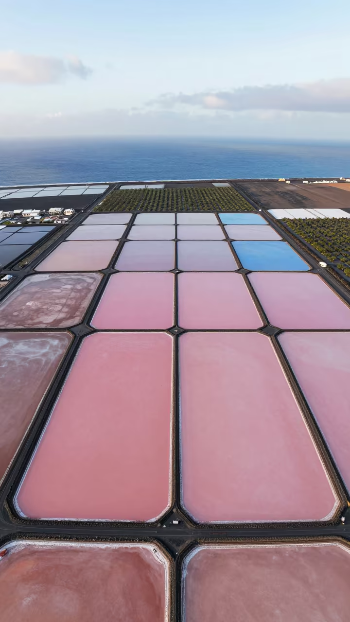
Pink and Blue Salt Ponds Aerial View
Comments