Braided Floodwater Channels Aerial View
by Hugh Stout
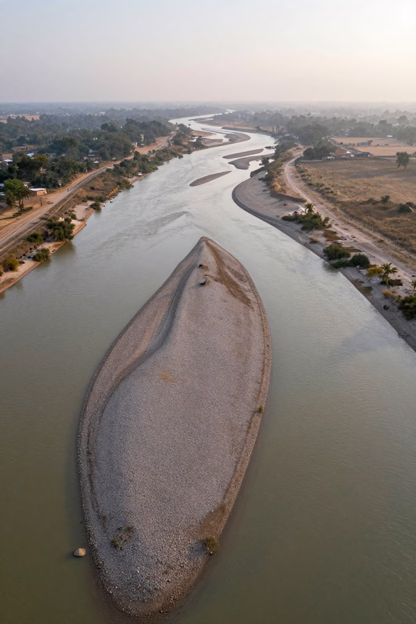
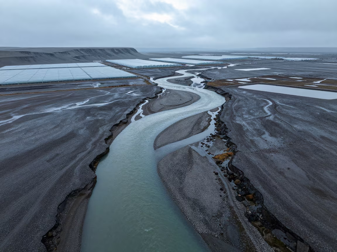
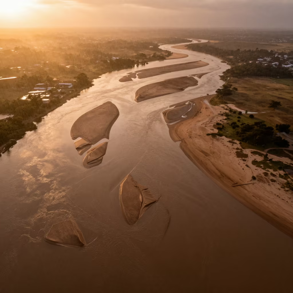
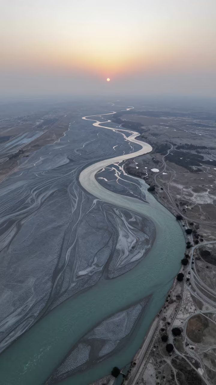
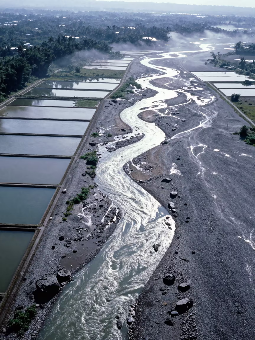
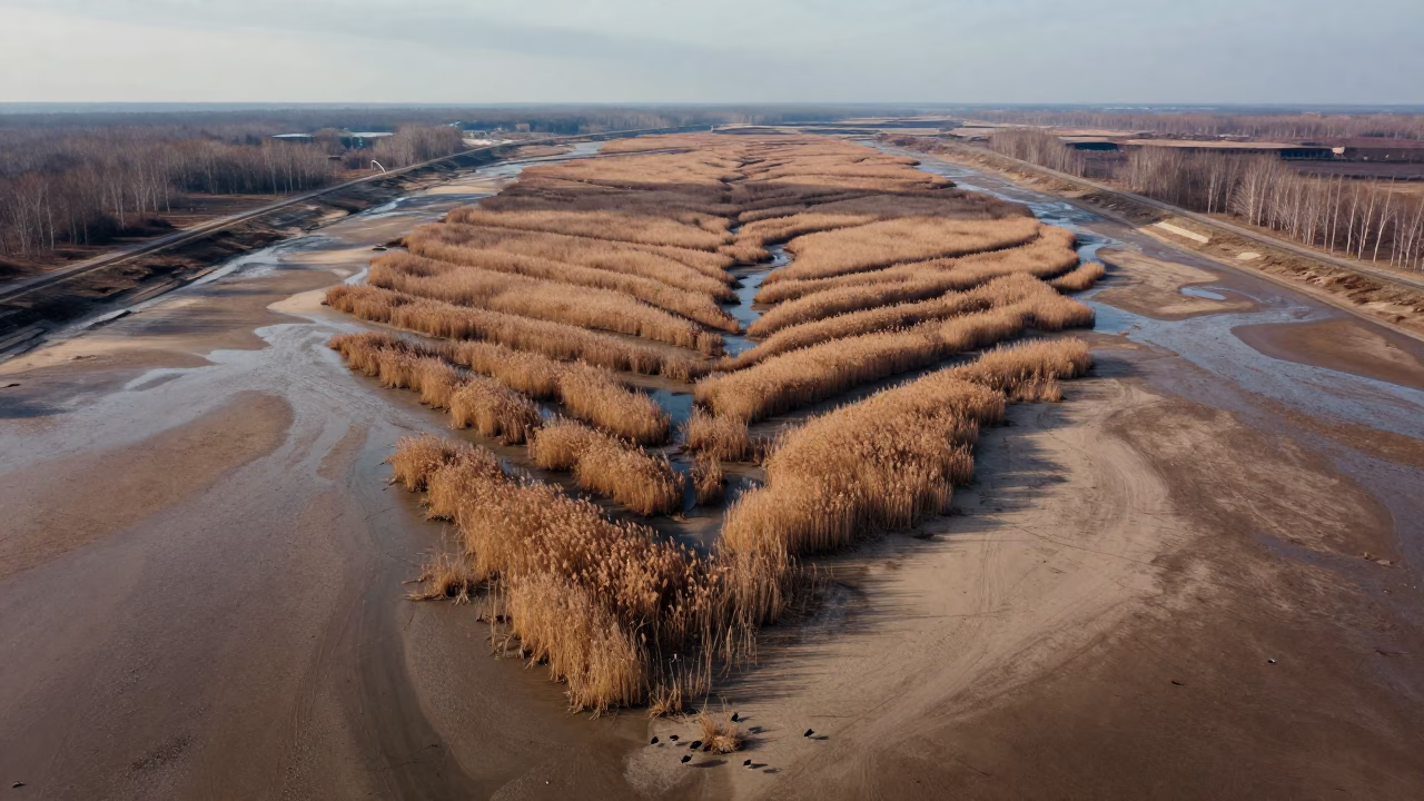
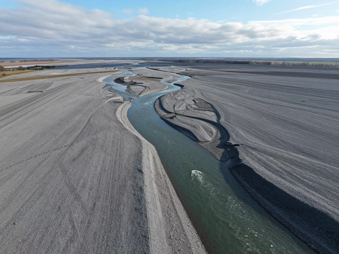
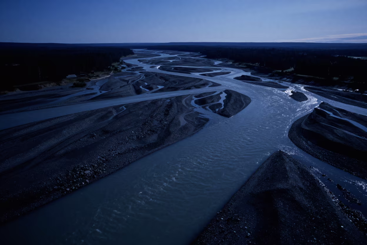
Misty dawn light washes over a network of braided river channels near Luanshya, creating a complex pattern of water and sediment. The dry season leaves exposed gravel banks in shades of beige and ochre, separating the dark, flowing streams. From this direct overhead perspective, the waterways twist and split like fingers, their surfaces reflecting the soft, diffused glow of the early morning sky. A perfectly clear horizon frames the top edge, against the textured riverbed below. Fine ripples disturb the water's surface where it meets the sandbars, while the dry earth remains still and dusty.
0
11 views
Free to download. CDN hosting requires a link back to this page. Terms
Similar Images
Aerial Braided Floodwaters Near Ahvaz at Dawn
Braided River on Gravel Floodplain After Rain
Aerial View of Braided River Channels at Dawn
Aerial River Islands Braided Through Silver Floodwater
Braided River Silt Before Sunrise in Rajasthan
Braided Floodwater Aerial View Near Tamale
Shandong Braided River Veins Aerial View

Night Aerial View of Braided Floodwater Malawi Dunes
Aerial Braided Glacial Rivers Before Dawn

Braided Glacial River Aerial View Poland Dawn
Aerial View of Braided River Delta Channels
Aerial River Delta Braided Channels Cabimas
Aerial view of braided river meanders
Aerial View of Braided River Delta in Copper Sunset Light
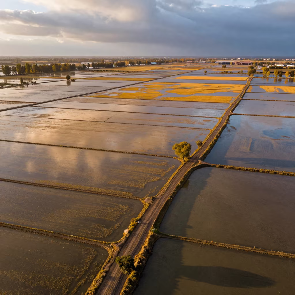
Aerial Rice Paddies Silk Road Evening Light
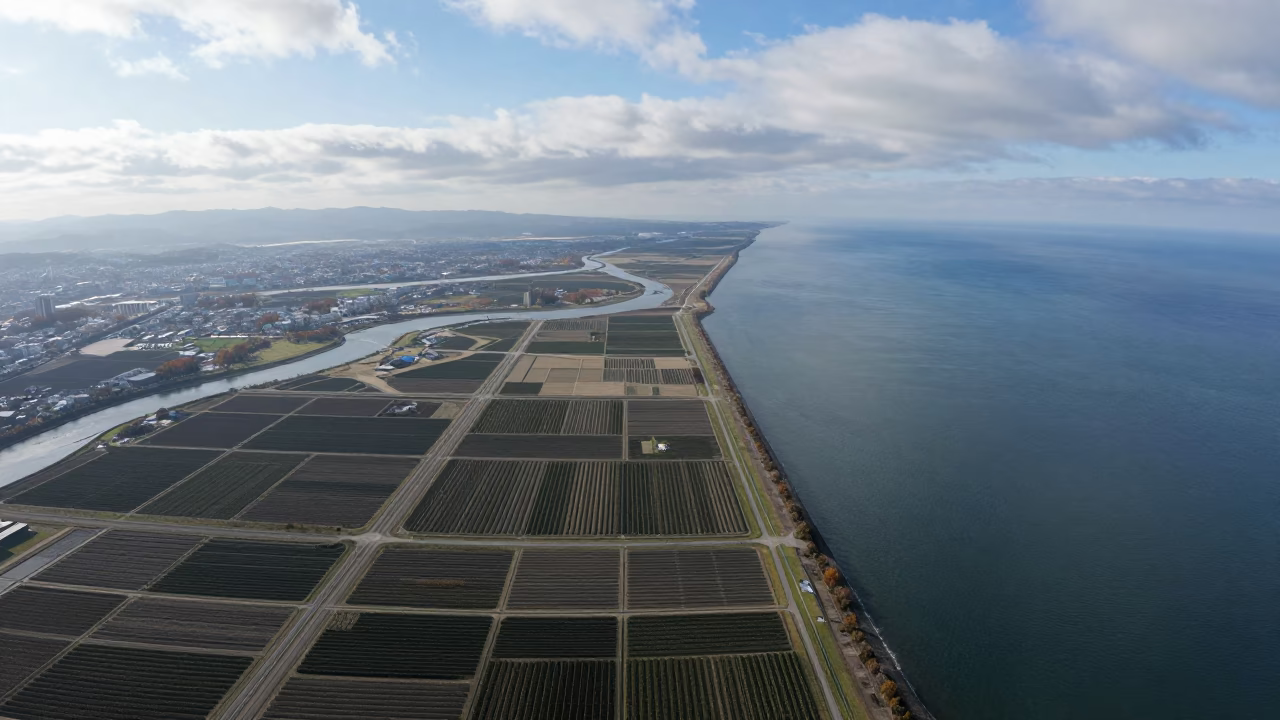
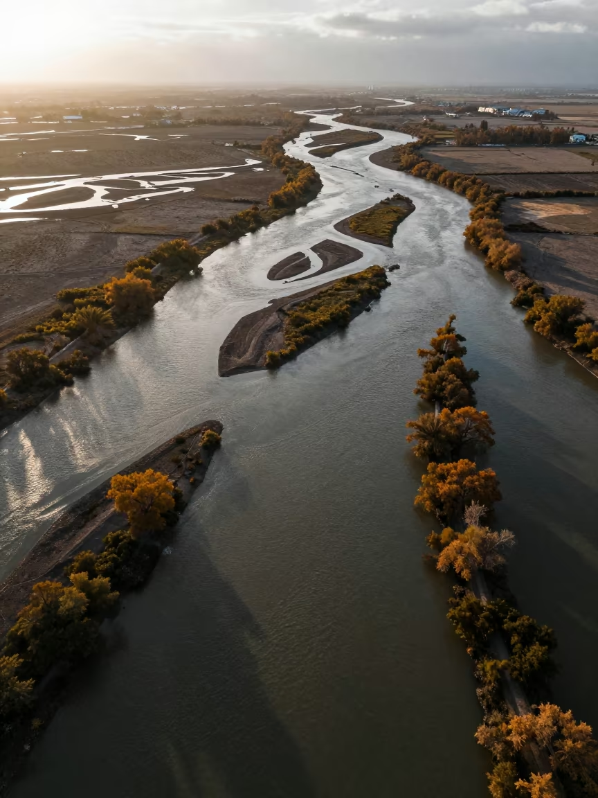
Autumn River Delta Branching into Sea Near Fukuoka
Aerial Braided Delta Meeting Sea at Twilight
Braided Glacial Rivers Sunset Winter Aerial View
Aerial View of Logging Road and Braided River
Aerial Braided River Islands Silver Water
Aerial View of Braided River Silt Ledge
Braided Glacial Rivers Over Salt Ponds Ouagadougou
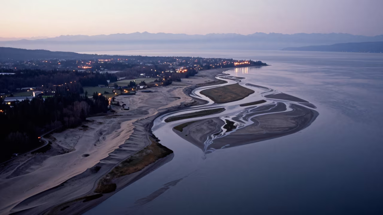
Aerial Winter Beach River Channels
Aerial Sunset Over Salt Ponds and River Islands
Amber Sunset Over Guangdong Braided River Silt
Braided Delta Valley Floor After Storm
Braided Delta Silhouette Under Blue Evening Light
Aerial view of braided river channels near Havana
Aerial View of Dry River Bed Branching Like Veins
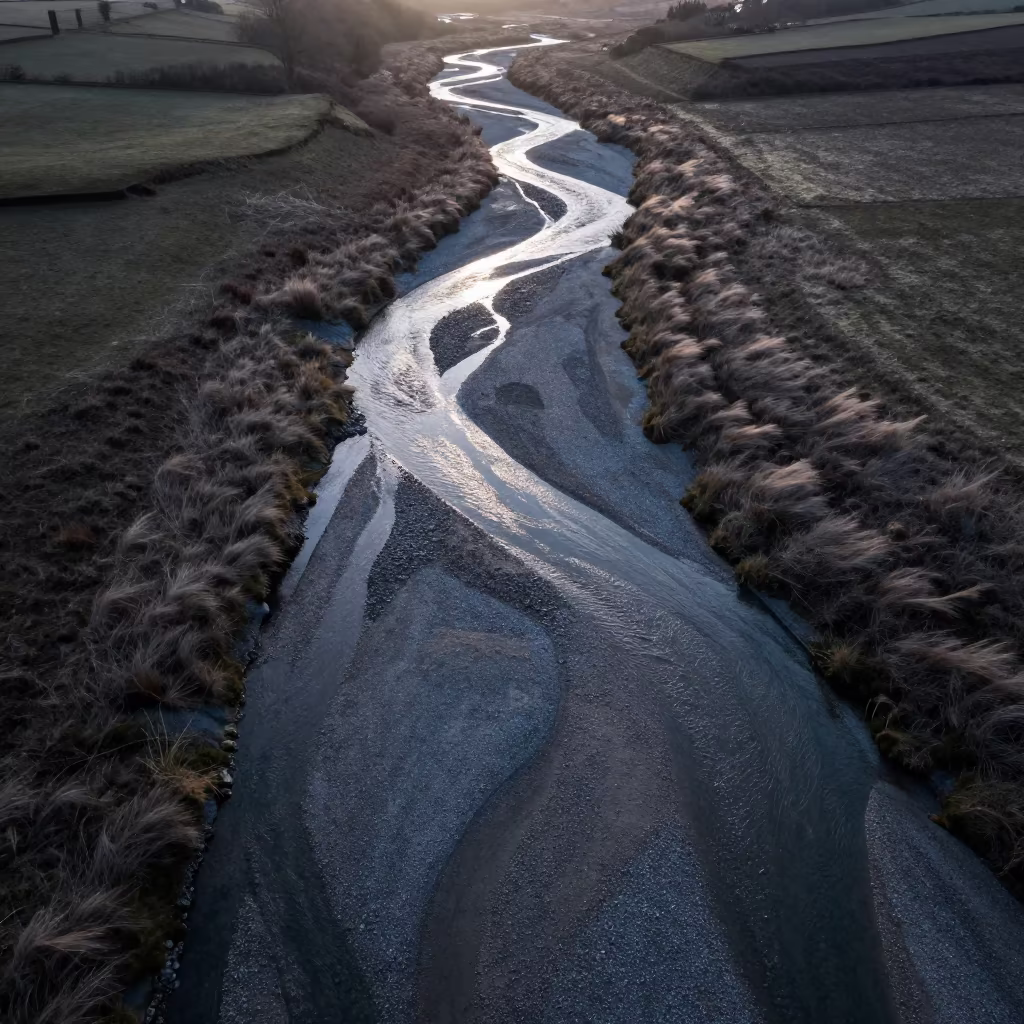
Braided Glacial River on Grey Gravel Aerial View
Aerial View of Wetland Channels in Laos
Sandstone Wave Formation After Rain in Hungary
Braided Glacial River on Grey Gravel at Dawn
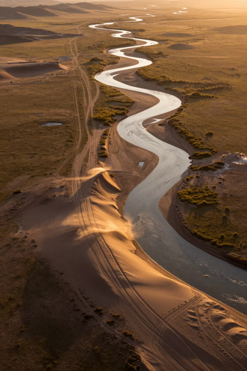
Amber Sunset Desert Tracks Over Mongolian River
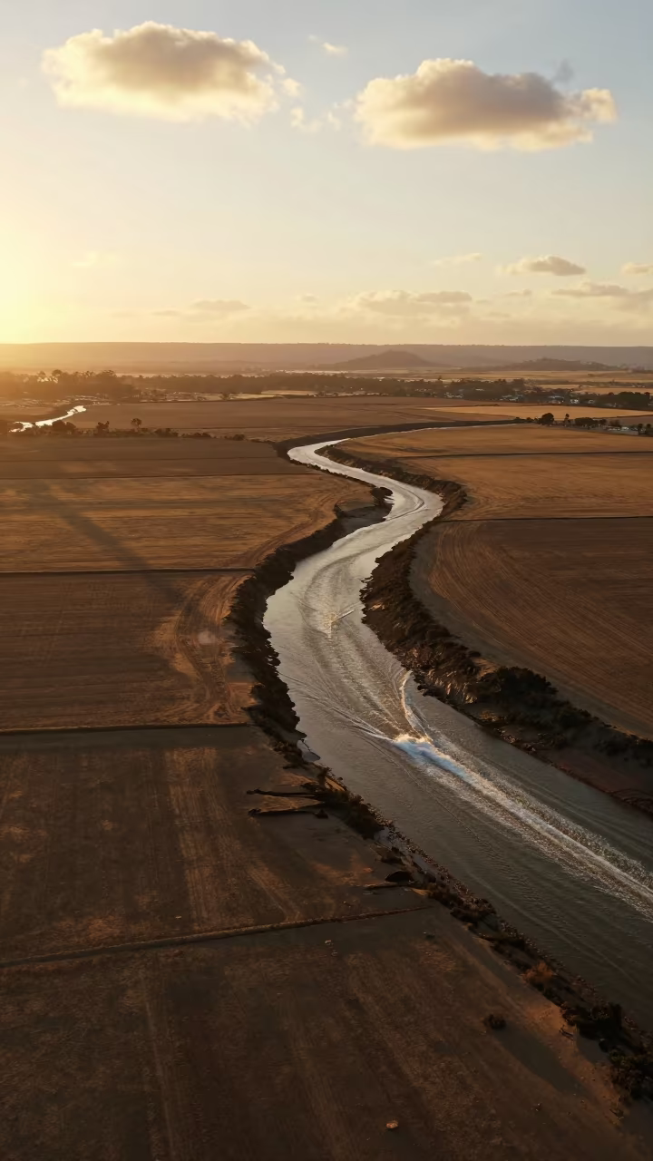
Aerial Tidal Creeks Boat Wakes Sunset Haze
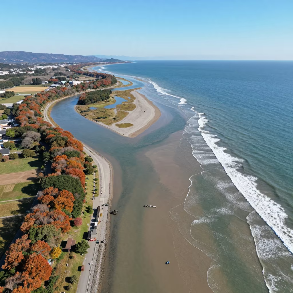
Aerial River Delta Flowing Into Autumn Sea Near Fukuoka
Midnight Aerial View of Dry Braided River Channels
Aerial View of Volcanic Beach Near Lhasa
Comments