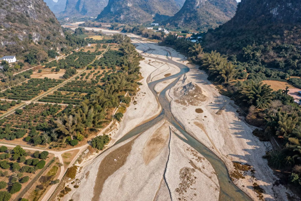
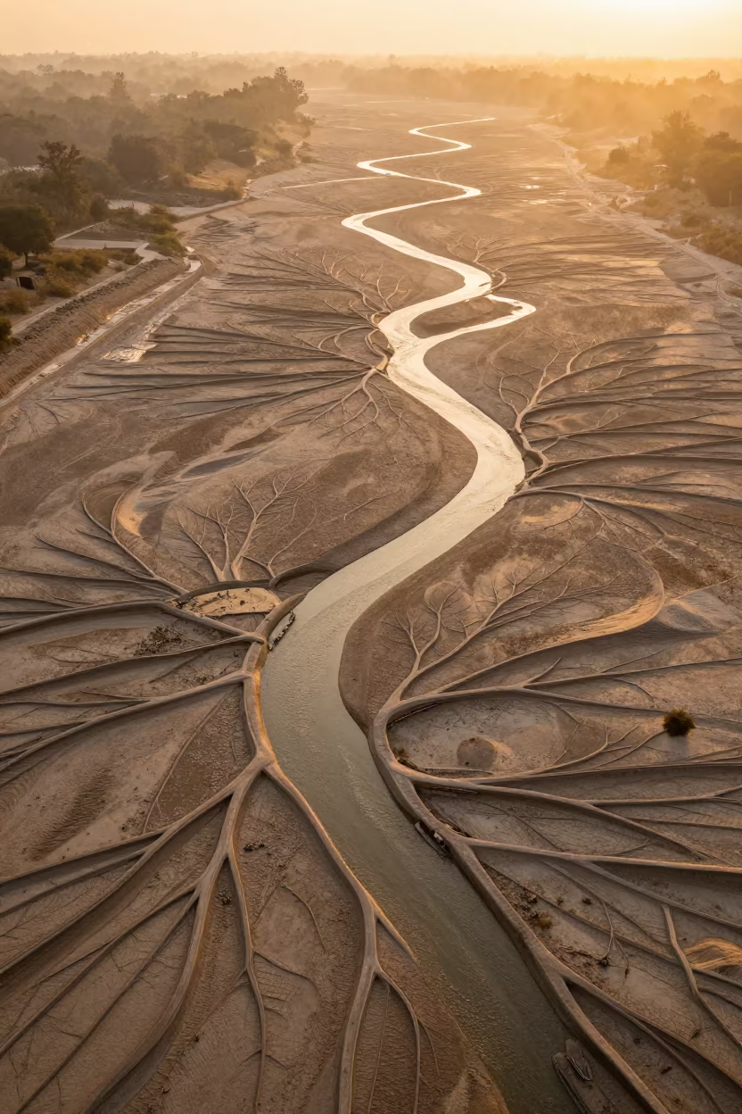
Dry River Veins Branching Over Guilin Orchards
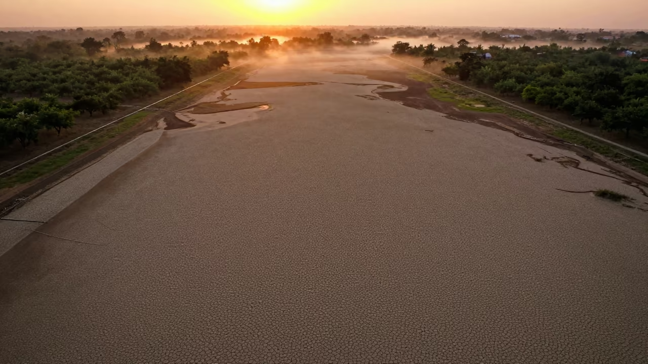
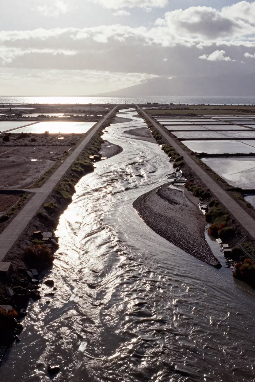
Pale, cracked earth cuts through green orchard blocks in a complex network of branching channels. The dry river bed splits into thin, winding tributaries that resemble biological veins against the agricultural grid below. Bright late afternoon sunlight flattens the terrain, revealing the geometric precision of irrigation lines that intersect the natural waterways. Layers of limestone karsts fade into a hazy blue distance, creating deep spatial recession. The soil texture appears powdery and parched, contrasting sharply with the orderly rows of fruit trees. Dust settles on the exposed riverbed, while shadows from the low sun stretch long across the ridges, showing the topographic depth of the landscape.
Free to download. CDN hosting requires a link back to this page. Terms
Similar Images
Aerial View of Dry River Bed Near Sinfra
Chilean Orchard Aerial View After Rain
Vein-Like Dry River Bed Aerial View Northern Ireland
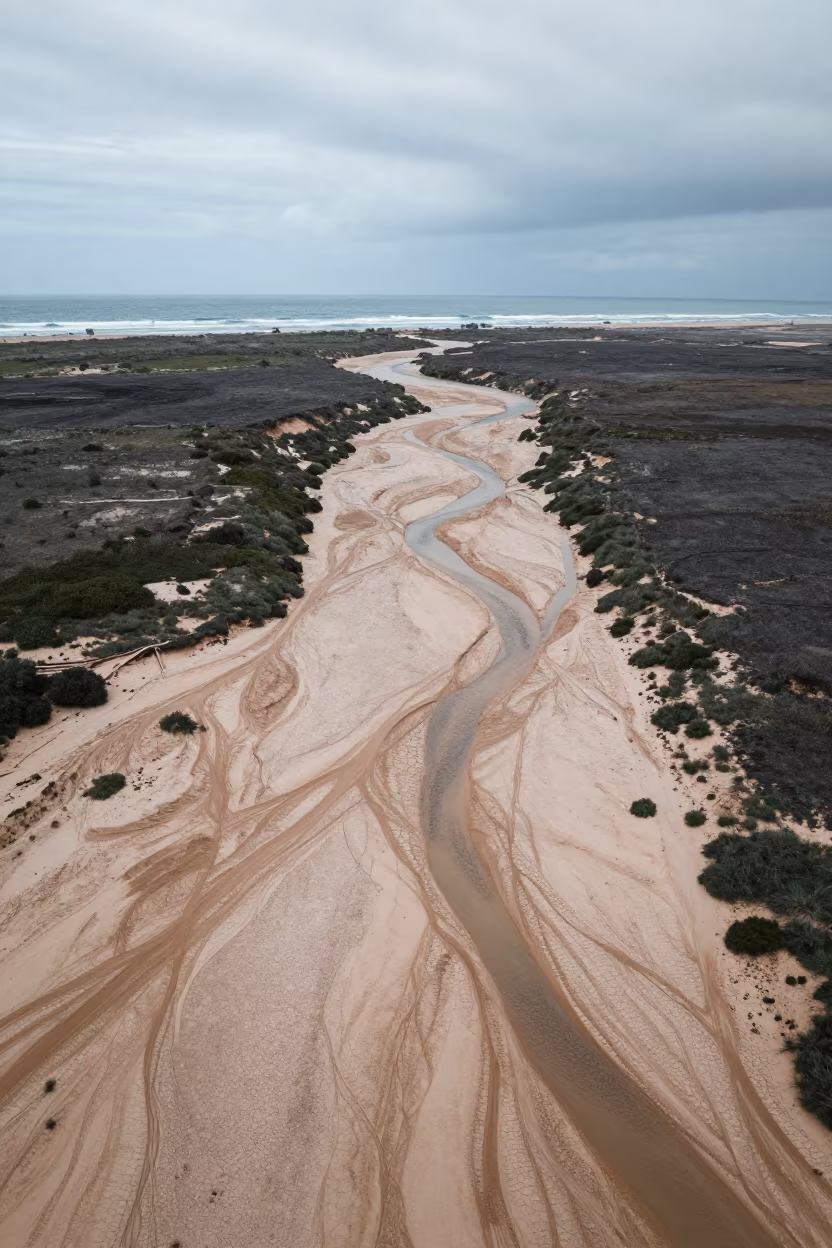
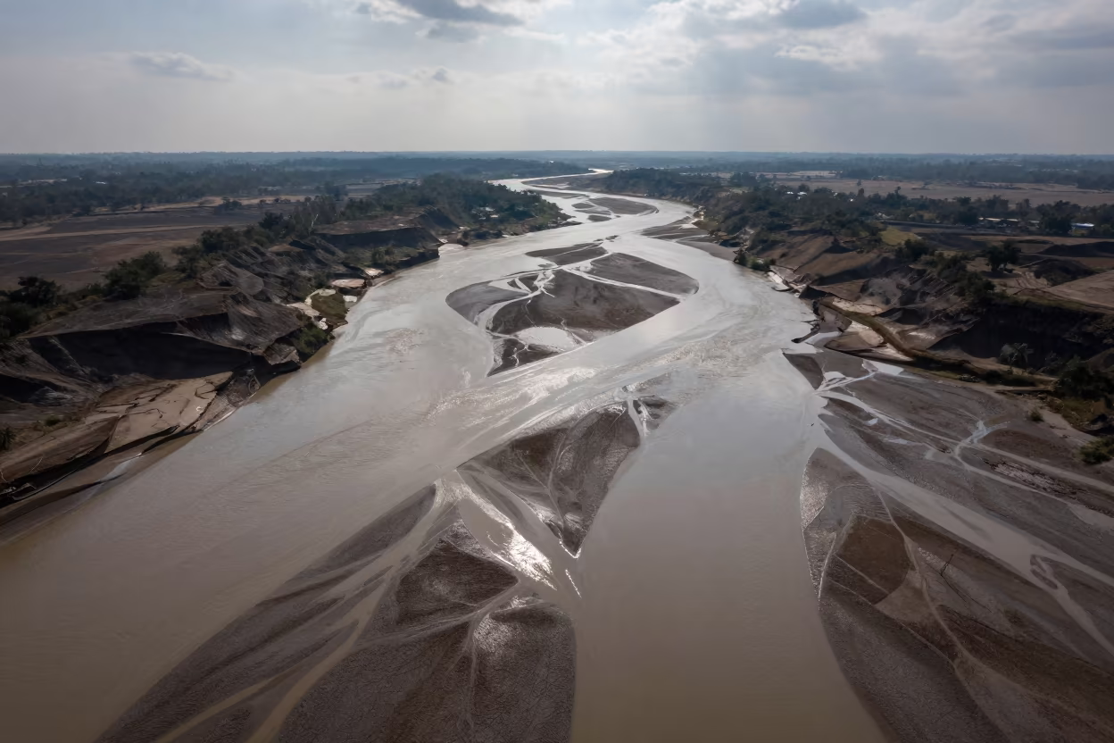
Aerial View of Dry River Bed Branching Like Veins
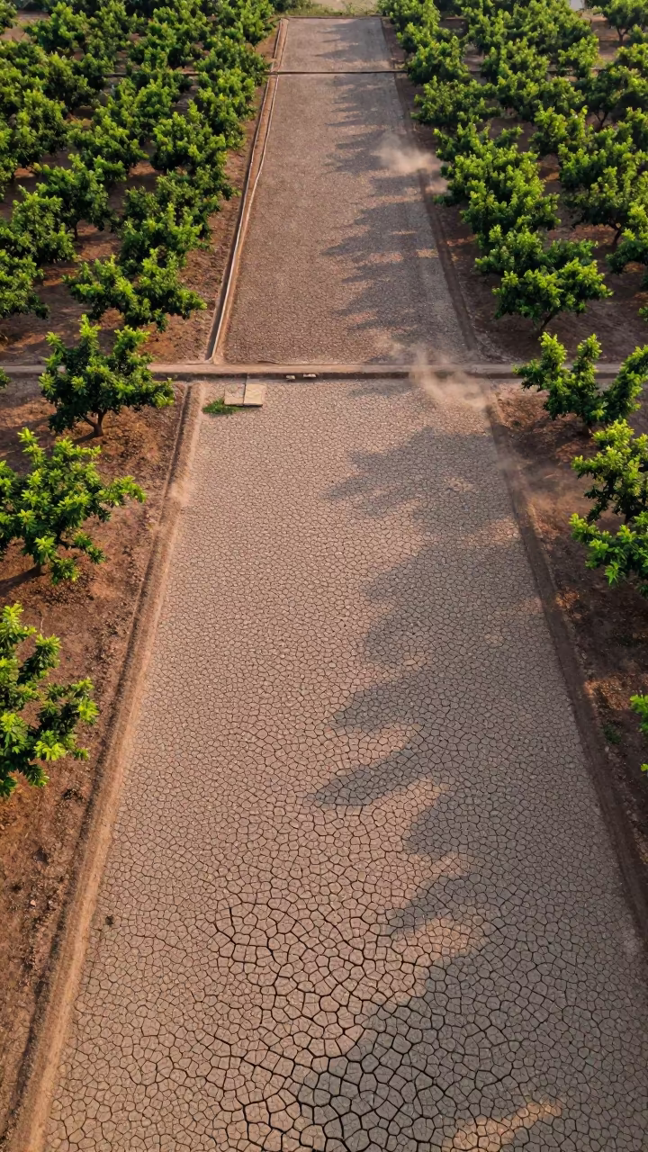
Aerial Orchard Grids at Dutse Dawn
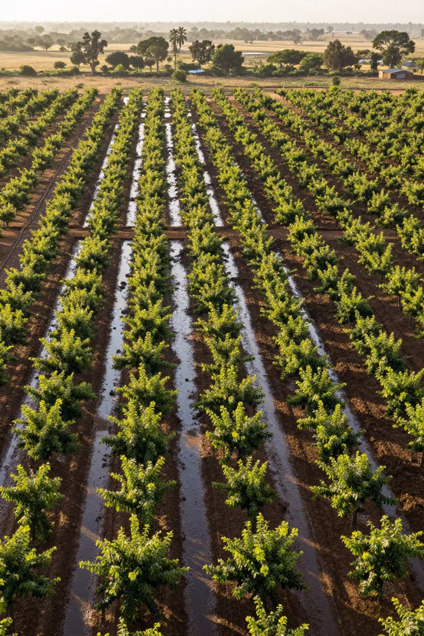
Aerial View of Mali Orchards in Rainy Season
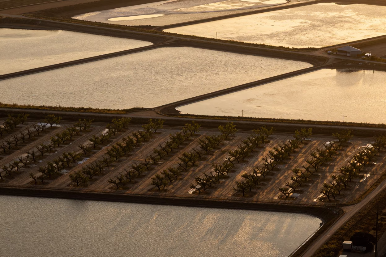
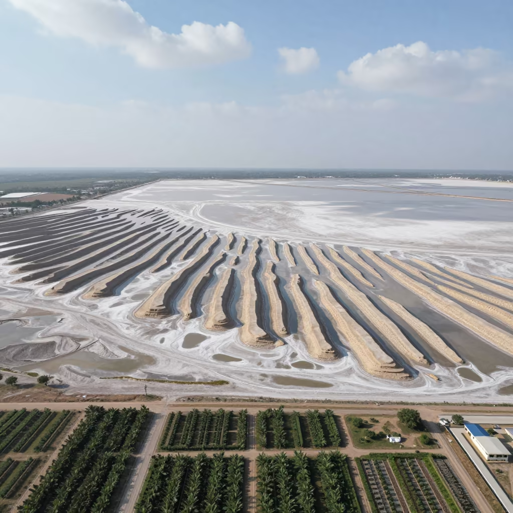
Aerial Salt Ponds and Orchard Grids at Golden Hour
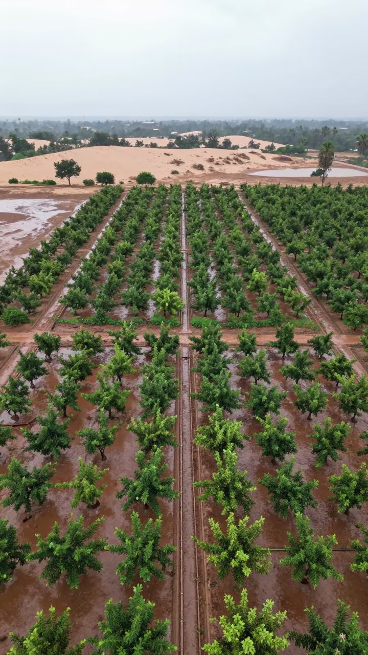
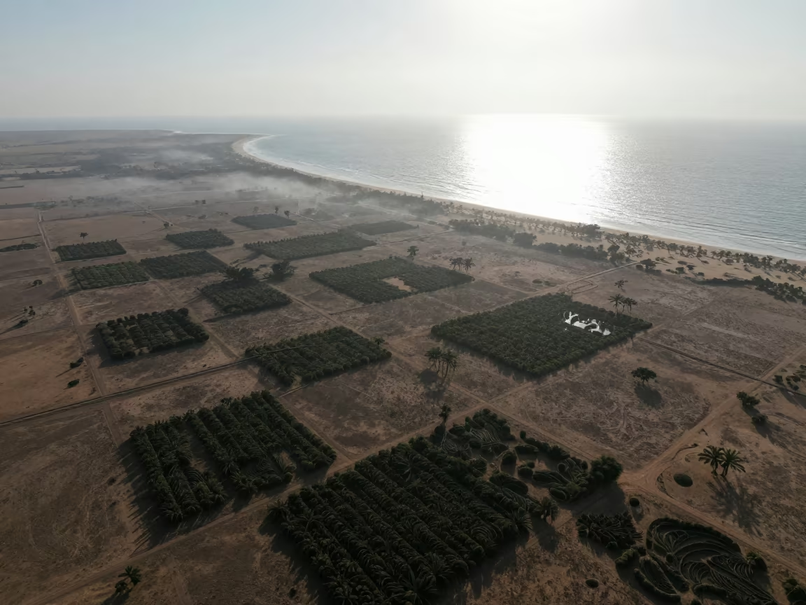
Aerial Orchard Grids Beside Dunes
Cracked Mud Lakebed Sunset Aerial View Ranchi
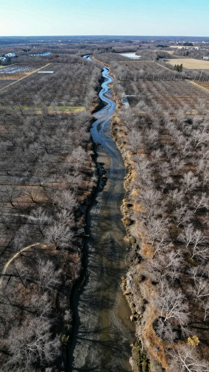
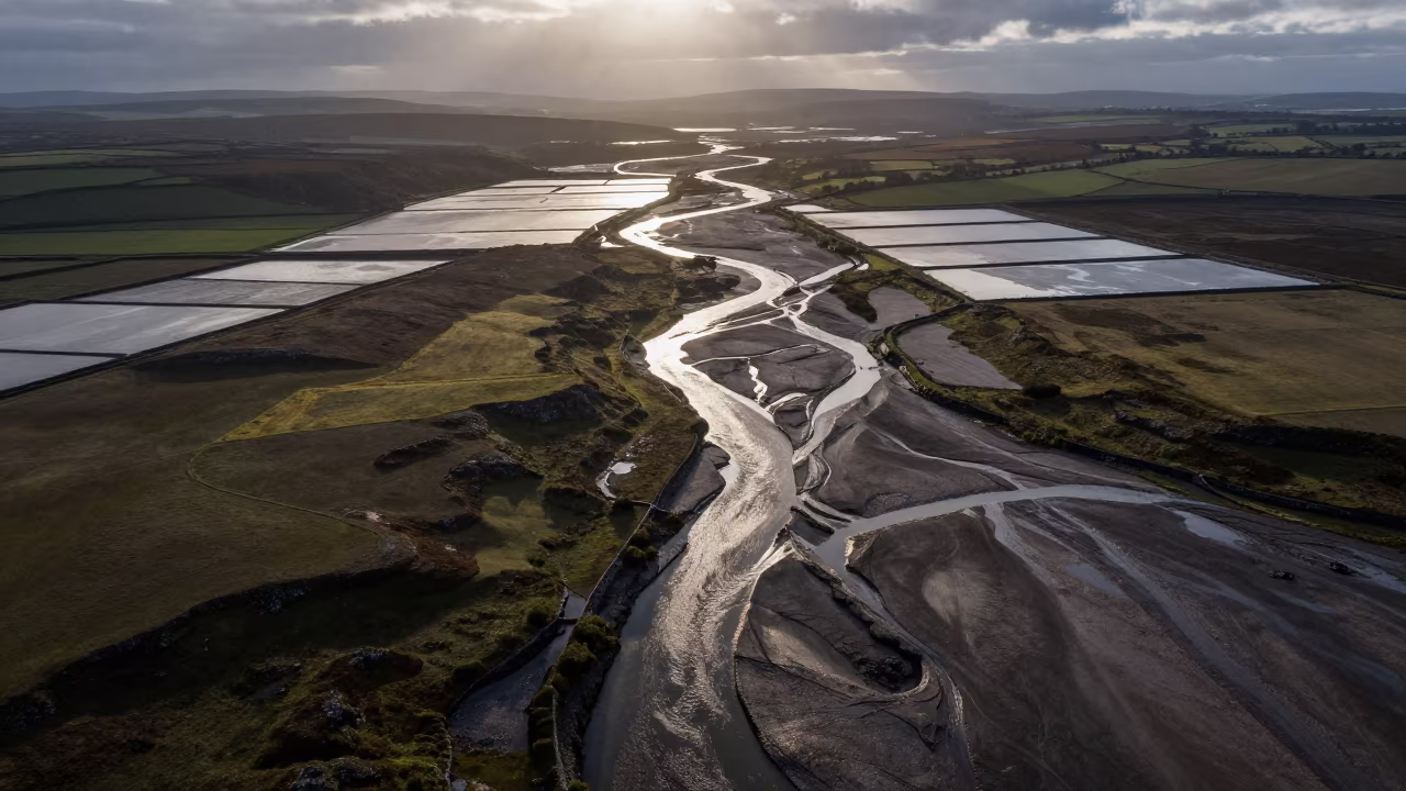
Aerial Maine Tidal Creeks Early Winter Drainage Lines
Cracked Mud Patterns Over Cambodian Orchards
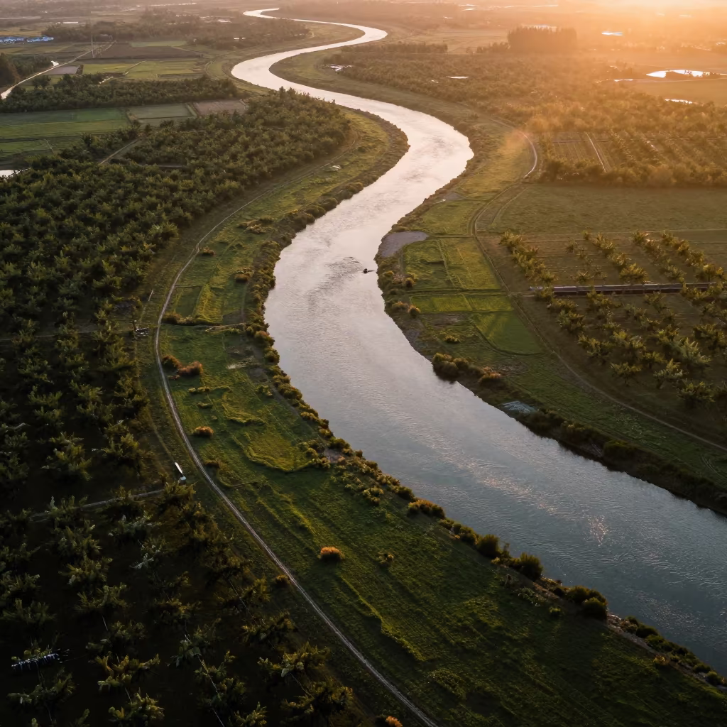
Aerial River Through Sichuan Orchards
Dry Season River Delta Aerial View Near Merca
Braided Floodwater Channels Aerial View
Aerial Patchwork Orchards Reflected Water Light
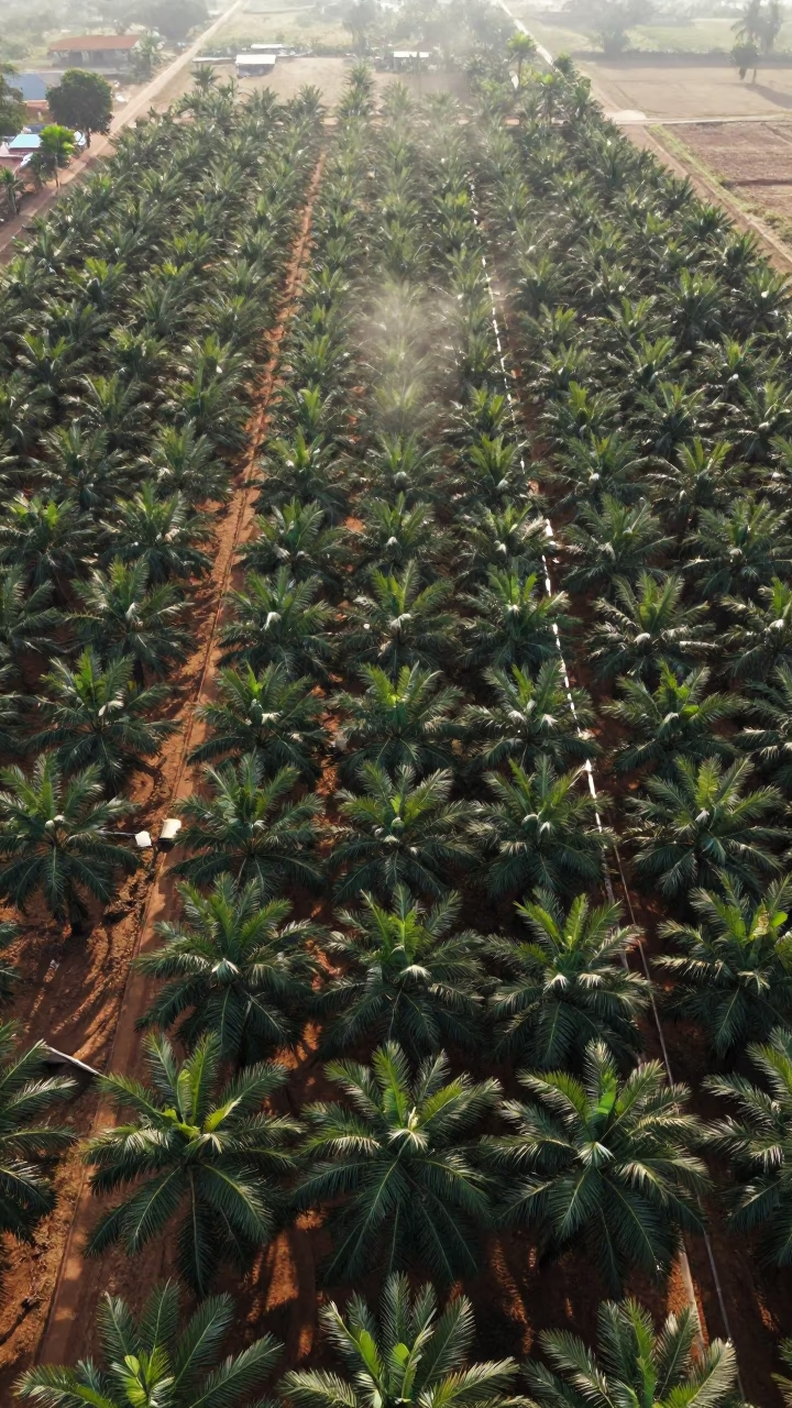
Aerial Grid of Palm Oil Plantation Rows
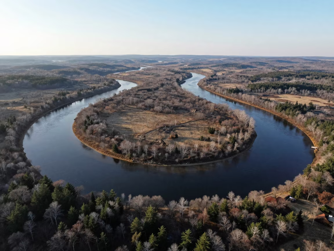
Aerial View of Maine River Meanders at Dawn
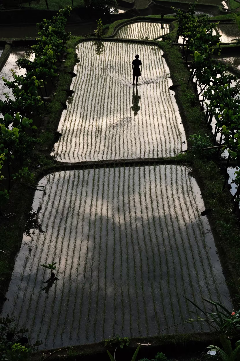
Bird's Eye View Flooded Rice Terraces Philippines
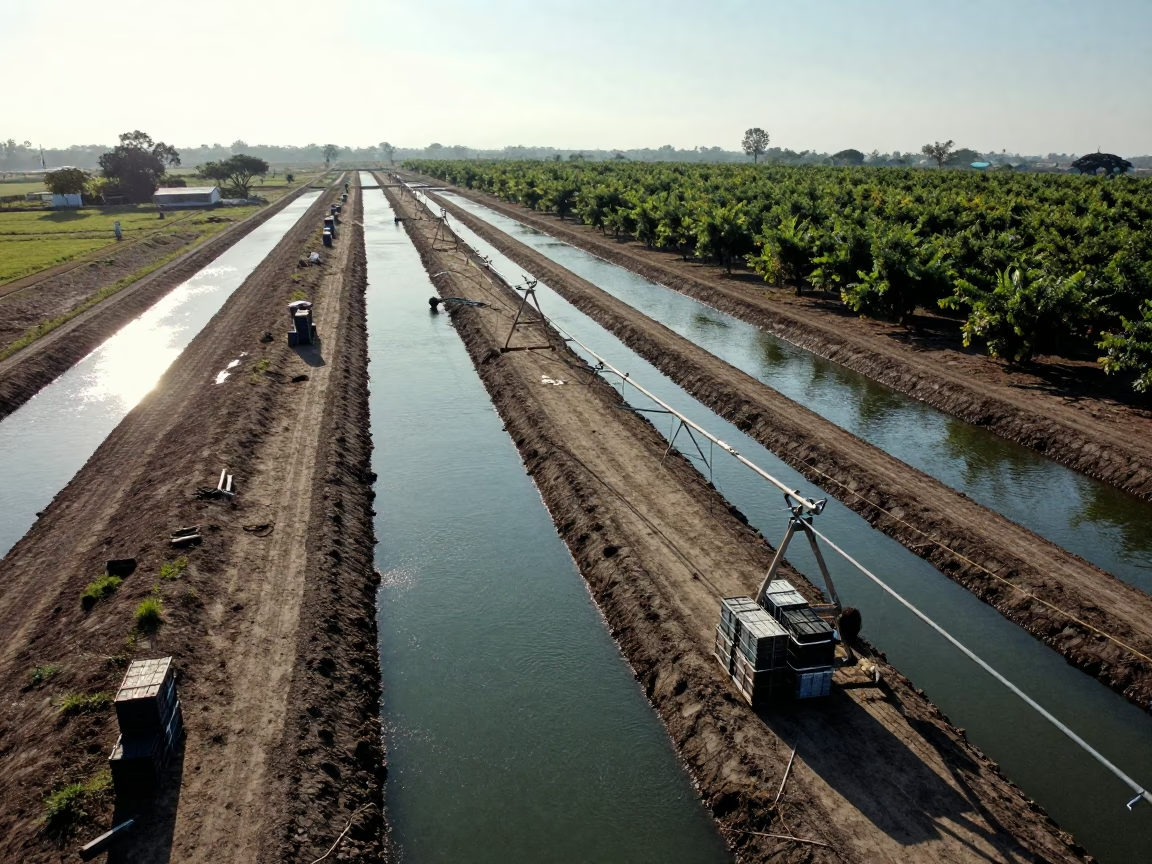
Irrigation Canals Silhouetted in Late Afternoon Light
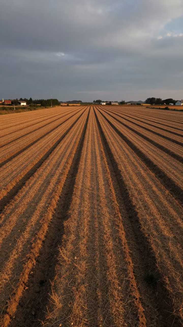
Dark Furrows in Guizhou Sunset Field
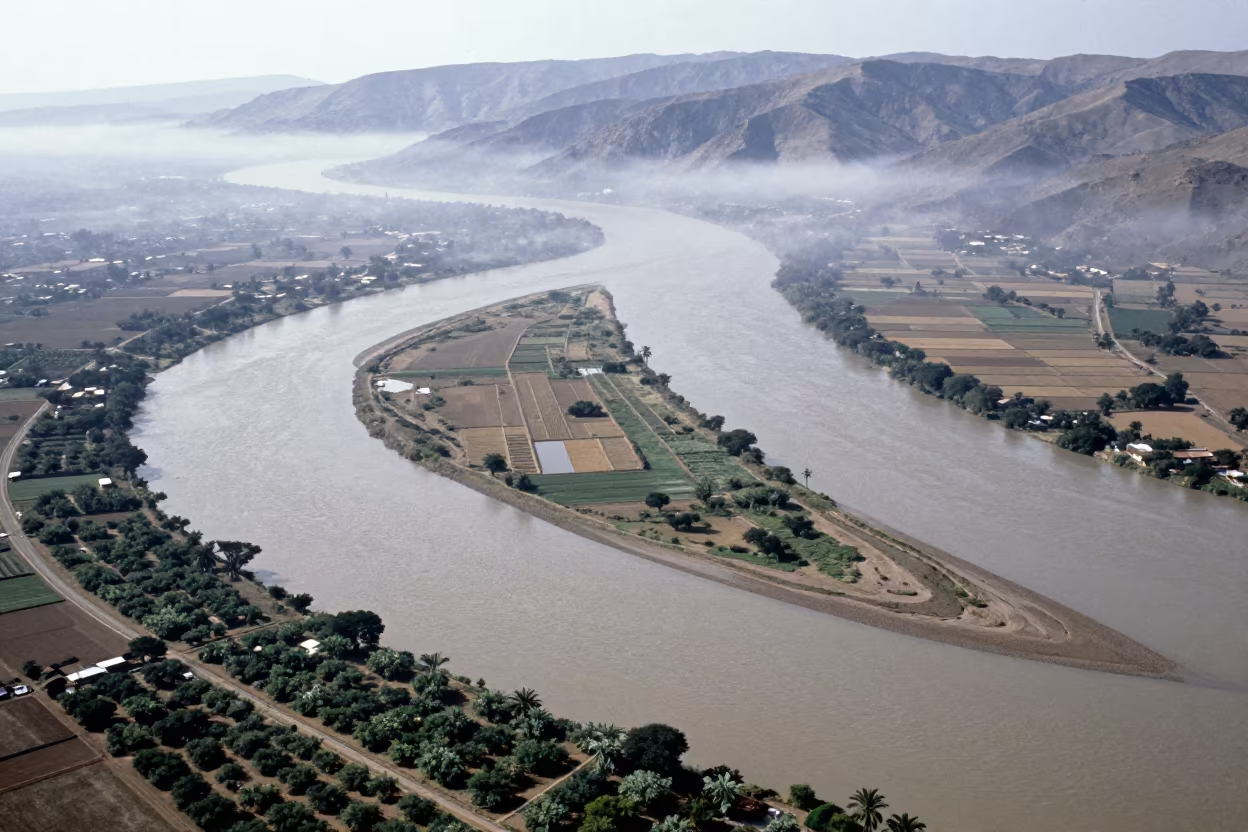
Aerial River Islands Eritrea Mist
Duplicated Dry River Bed Drone View Near Delhi
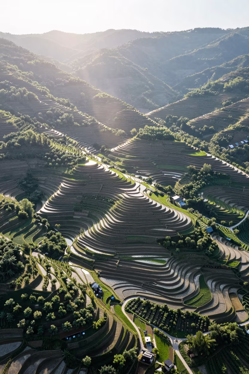
Aerial View of Rice Terraces Potsdam Summer
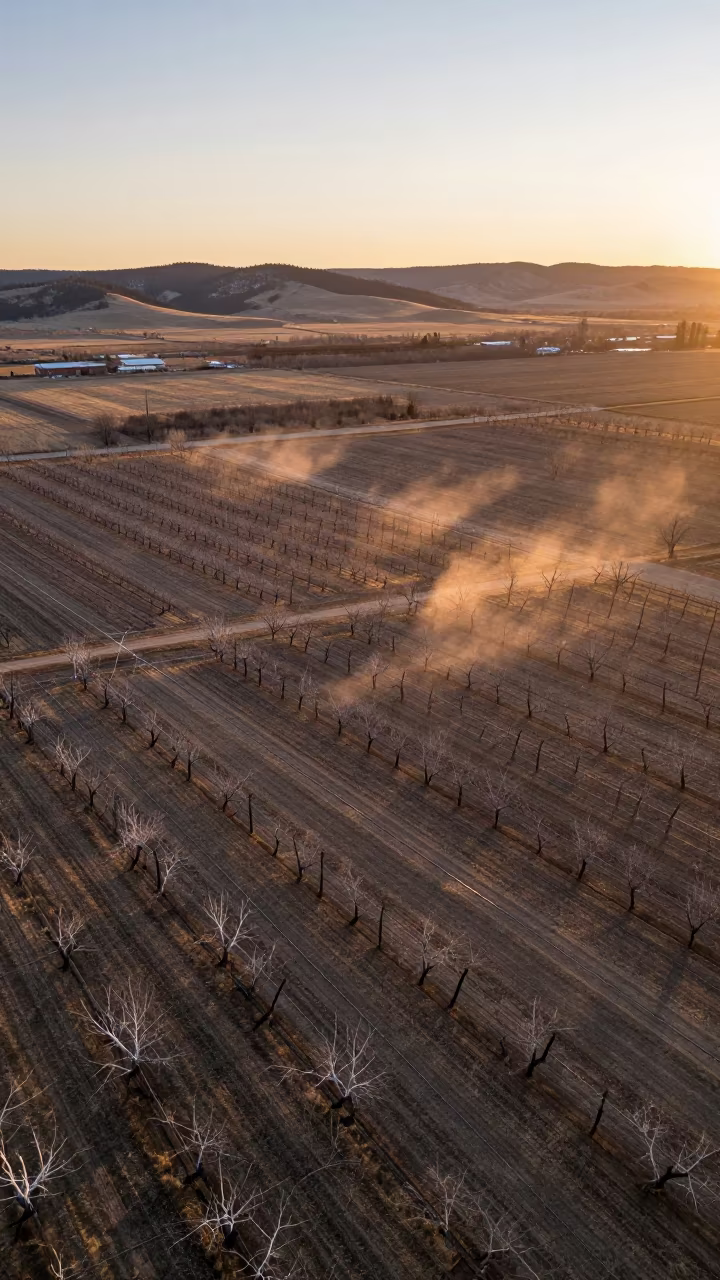
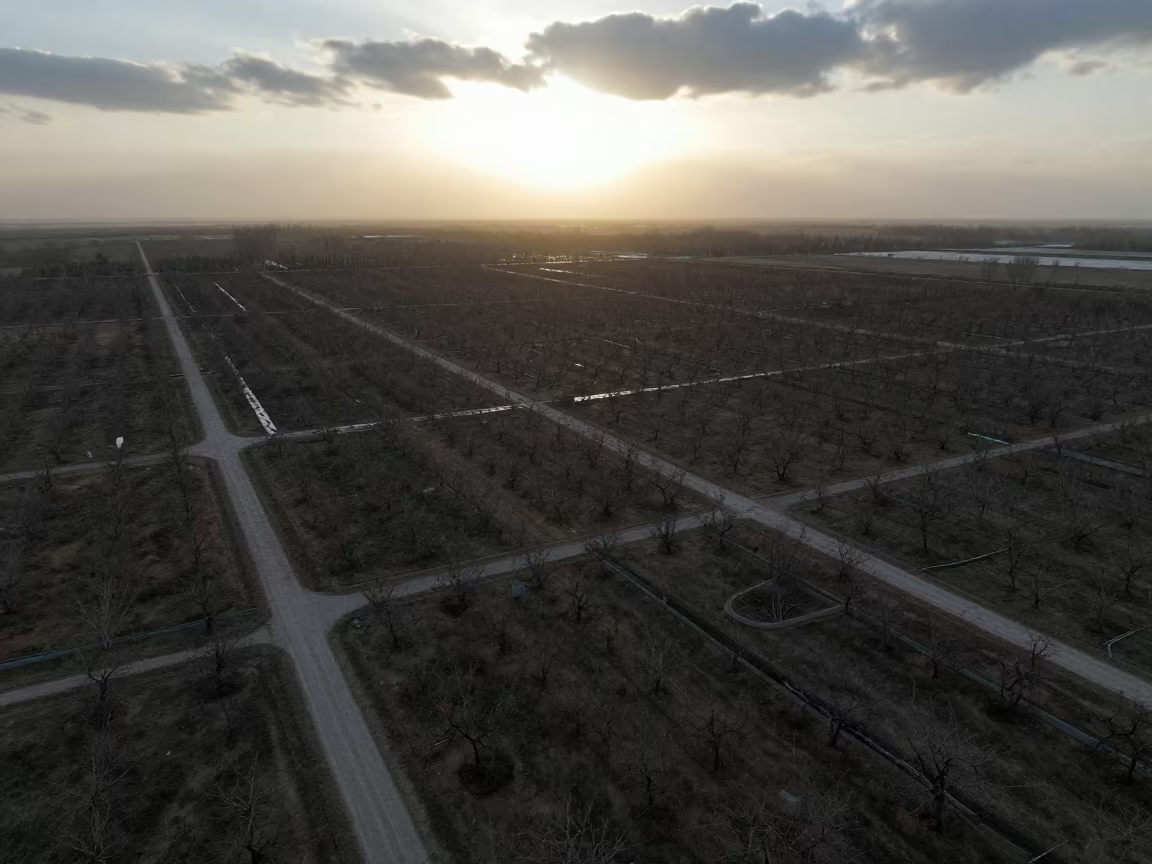
Aerial View of Colorado Orchards at Sunset
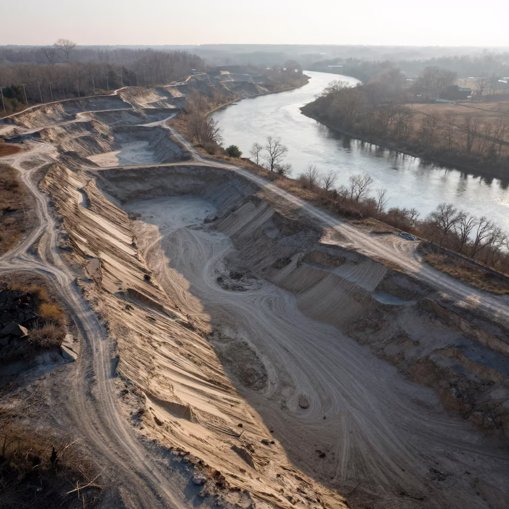
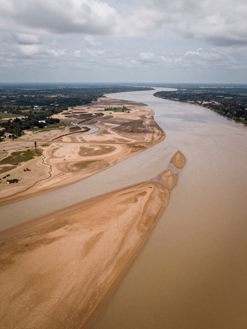
Aerial Sand Pit Beside River Meander
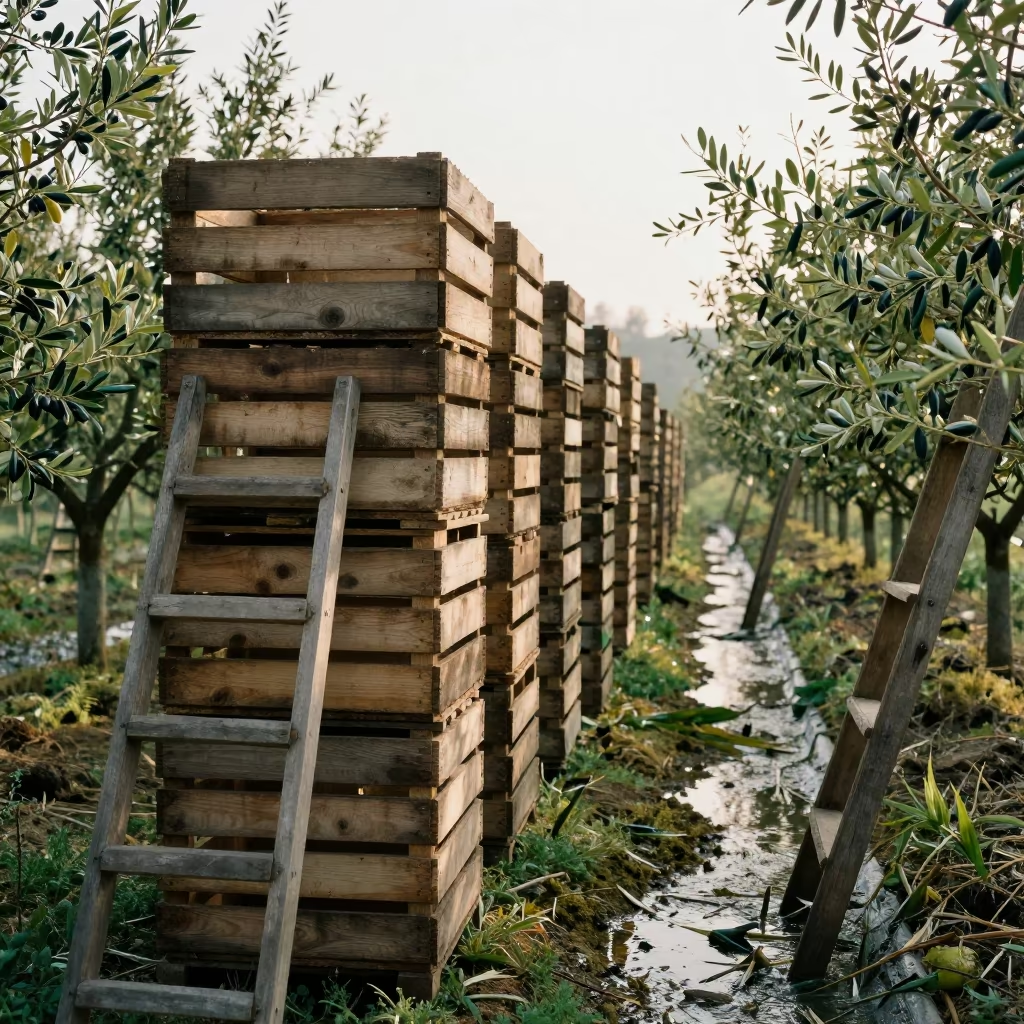
Olive Crates Stacked in Late Spring Guizhou
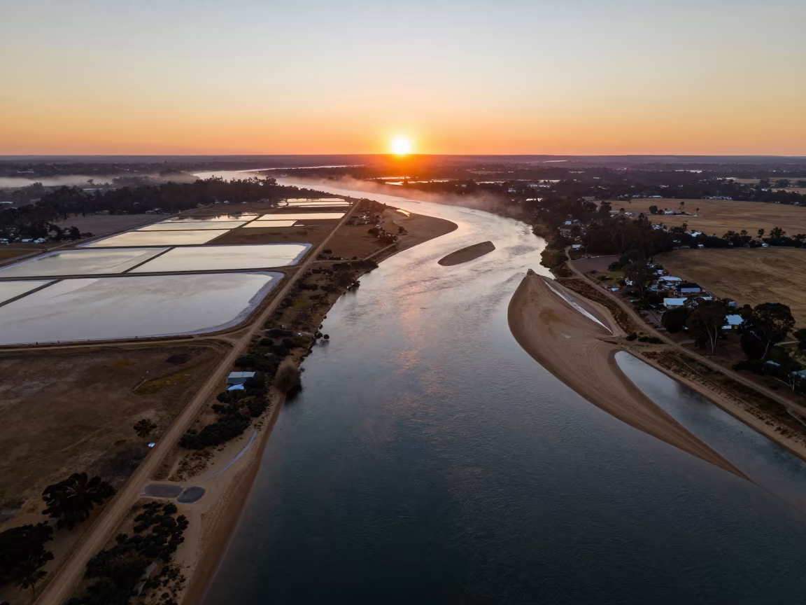
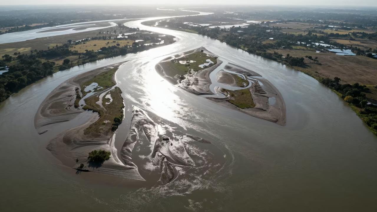
Aerial Sunset Over Salt Ponds and River Islands
Braided River Glacial Silt Aerial View Cali
Aerial Limestone Karst Irrigation Geometry Kismayo
Aerial View of Container Rows Over Jiangxi River
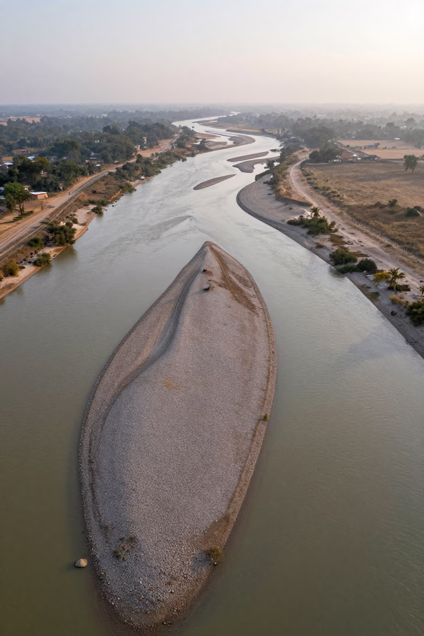
Aerial View of Braided River Silt Ledge
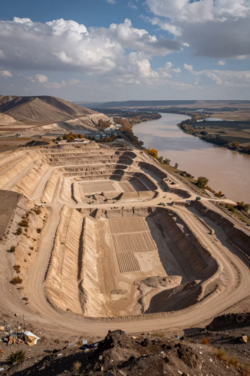
Aerial Sand Pit and River Near Kahramanmaraş
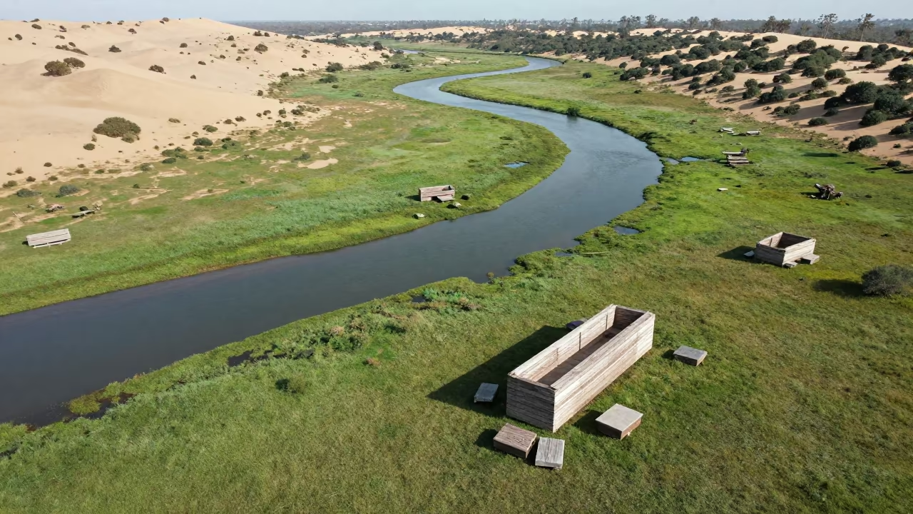
Surreal Stone Furniture River Zimbabwe Aerial
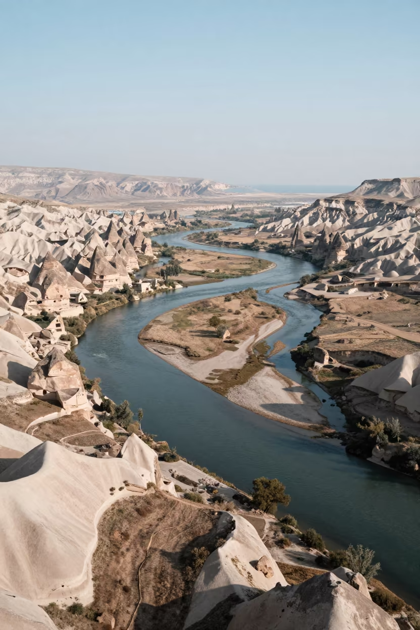
Aerial View of Cappadocia River Delta Branching
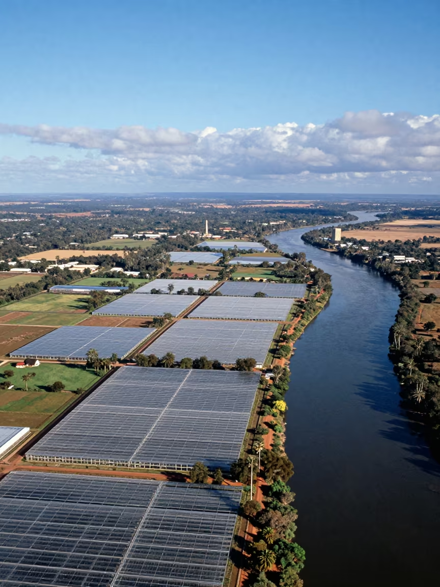
River Delta Branching Over Kimberley Greenhouse Grids
Wind Sculpted Yardangs Aerial Salt Flat View
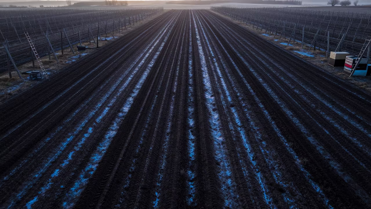
Winter Plowed Fields Drone View Dawn
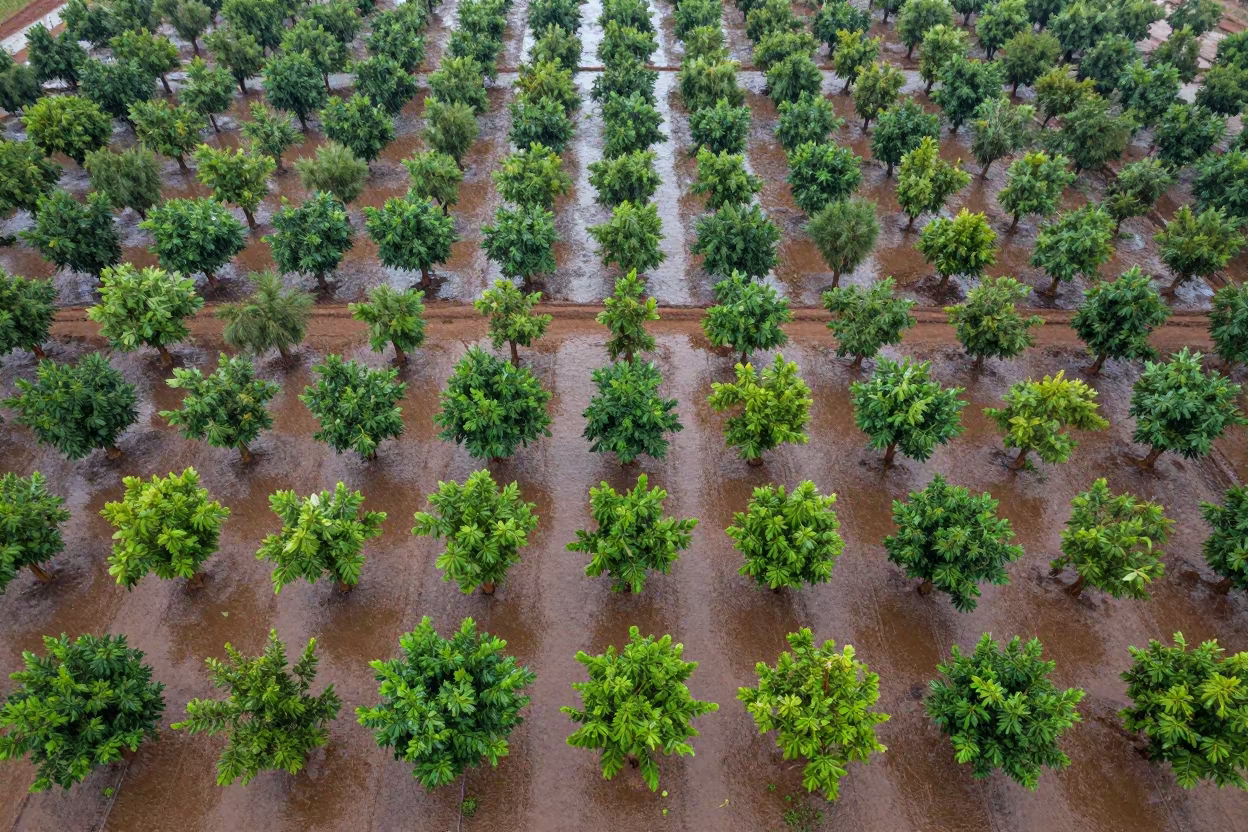
Aerial Orchard Grids Morning Haze Low Sun Bokhtar
Comments