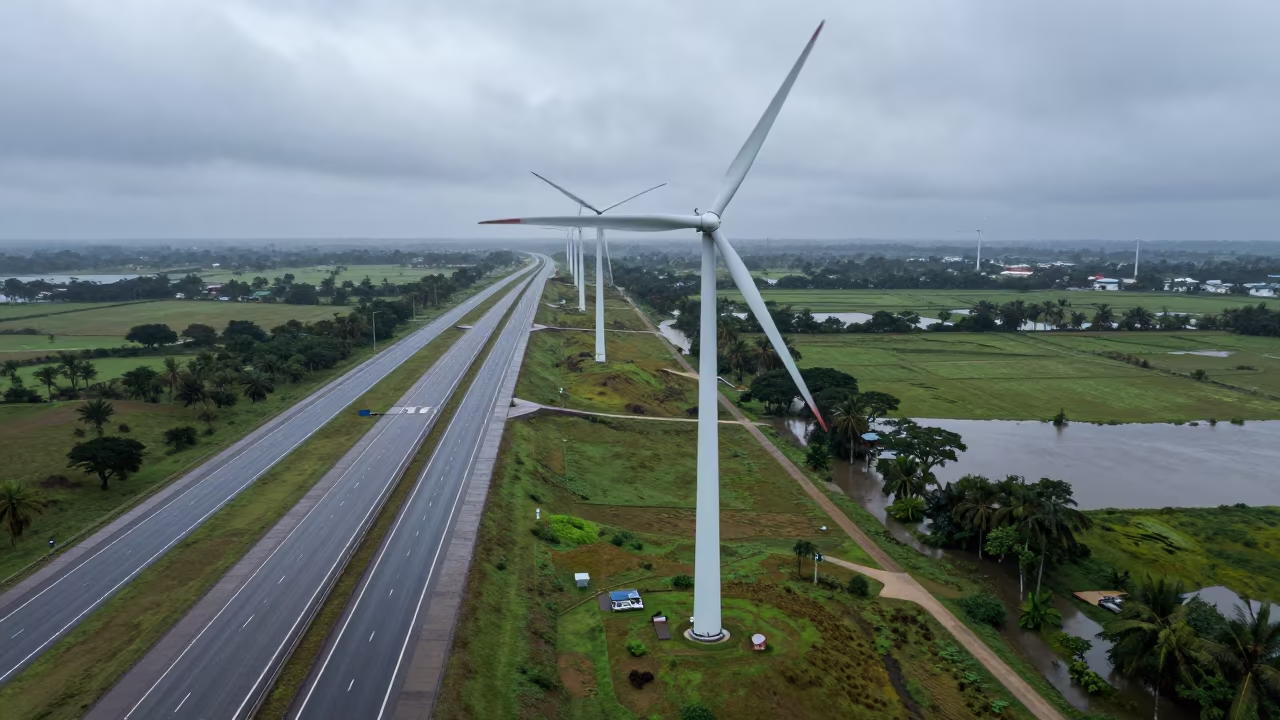
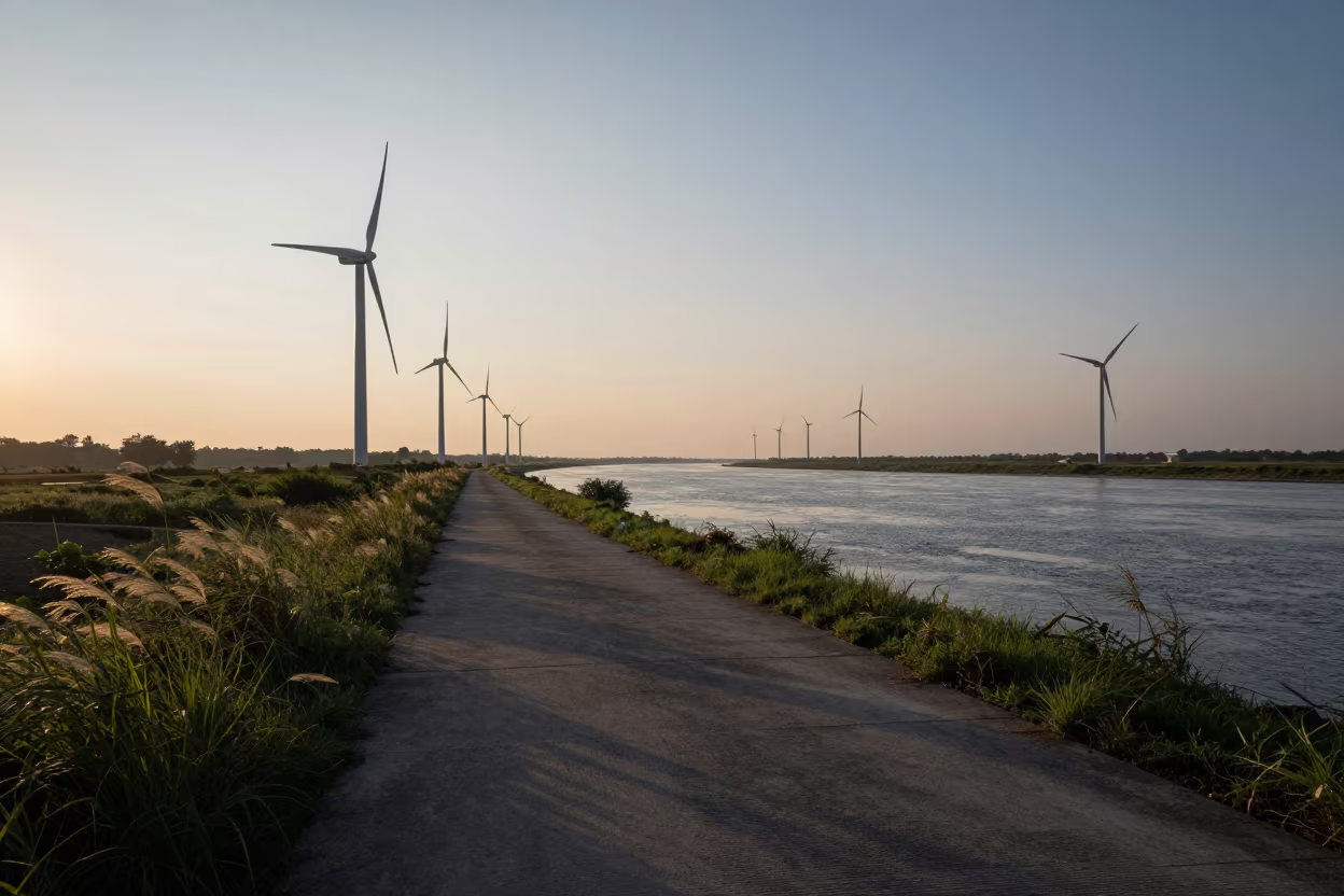
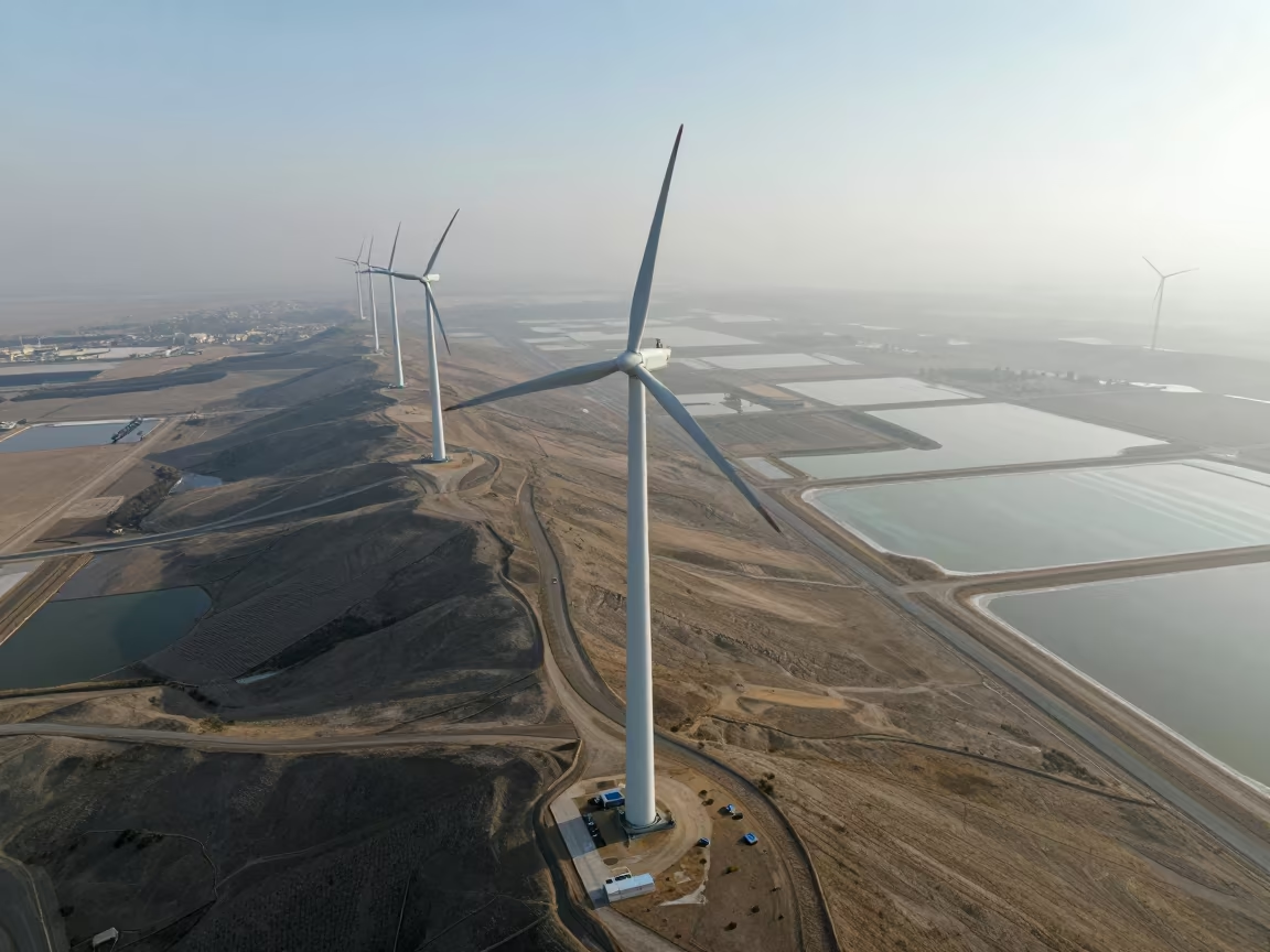
Wind Farm Drone View Along Koudougou Levee
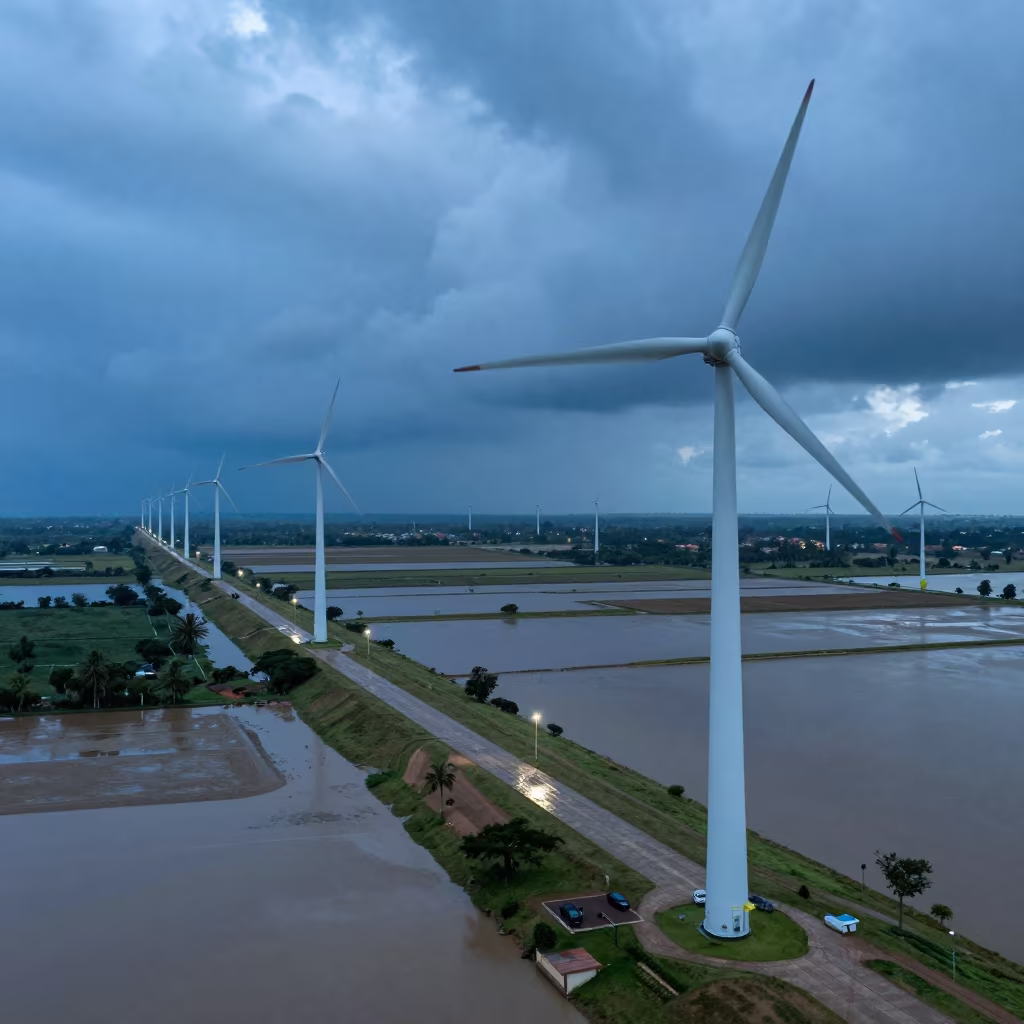
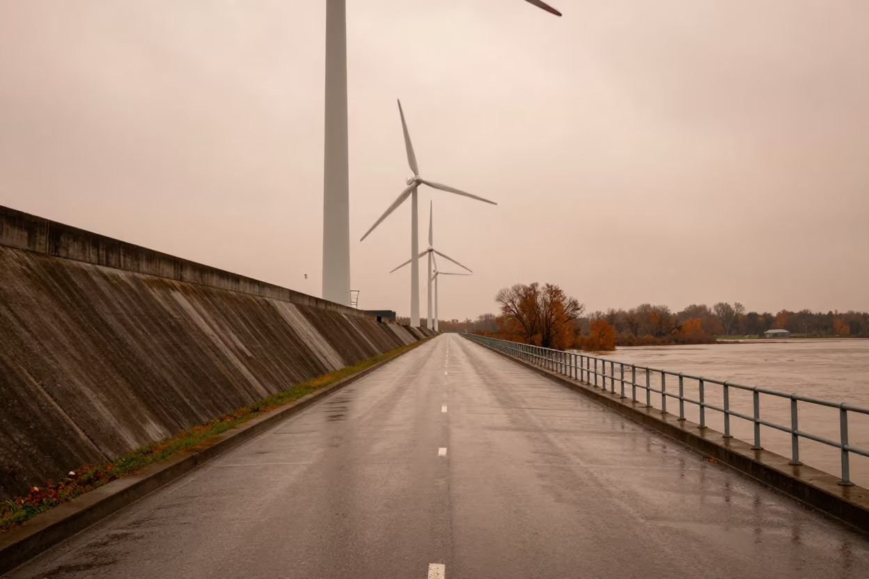
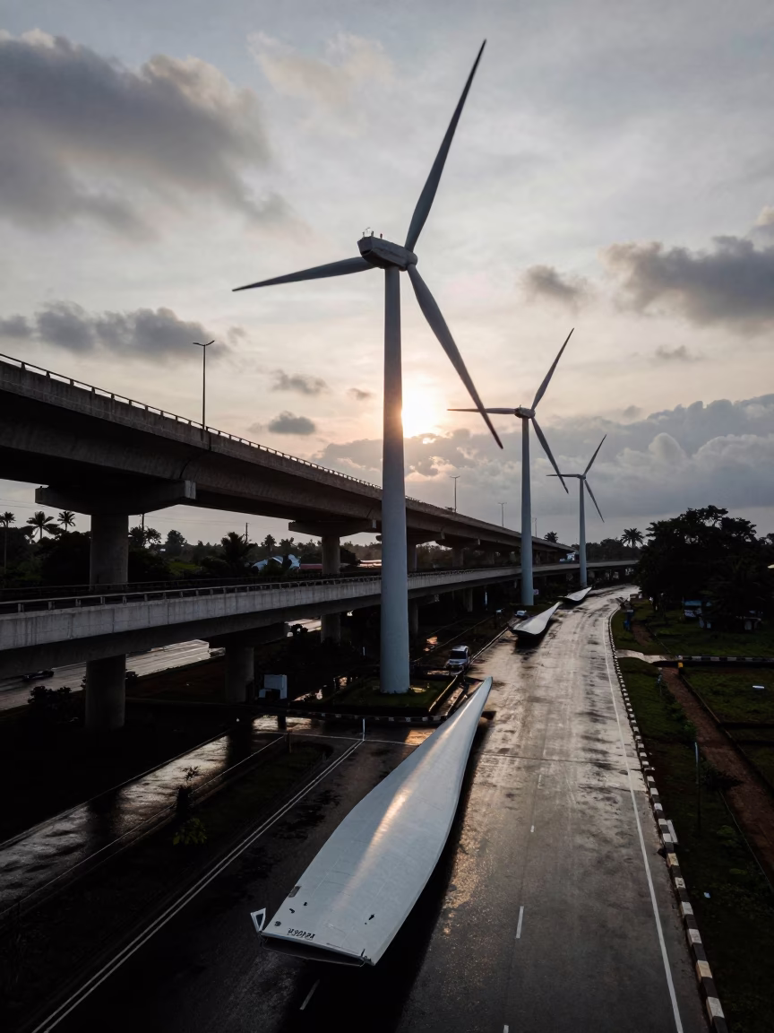
Pale dawn light spills over the concrete edges of a levee path near Koudougou, illuminating the stark white blades of a wind farm in motion. Below, monsoon floodwaters stretch across the lowlands, reflecting the gray sky. Three turbines align along the elevated embankment, their blades blurred by the whipping wind. The motorway runs parallel to the levee, a ribbon of dark asphalt cutting through the green and gray landscape. Concrete barriers show wet streaks from recent rain. The turbines stand tall against the horizon, their bases rooted firmly in the reinforced earth. A shadow from the nearest turbine falls across the wet pavement, ending at the edge of the floodwater.
Free to download. CDN hosting requires a link back to this page. Terms
Similar Images
Foggy Wind Farm Road Sunset Glow
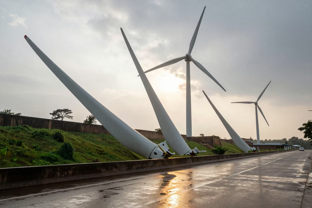
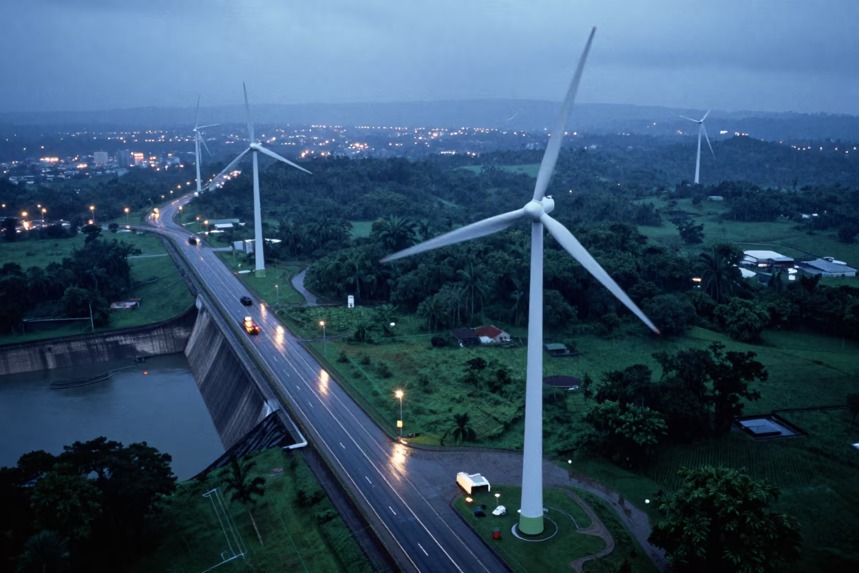
Wind Farm Blades on Cameroonian Dam Road at Dusk
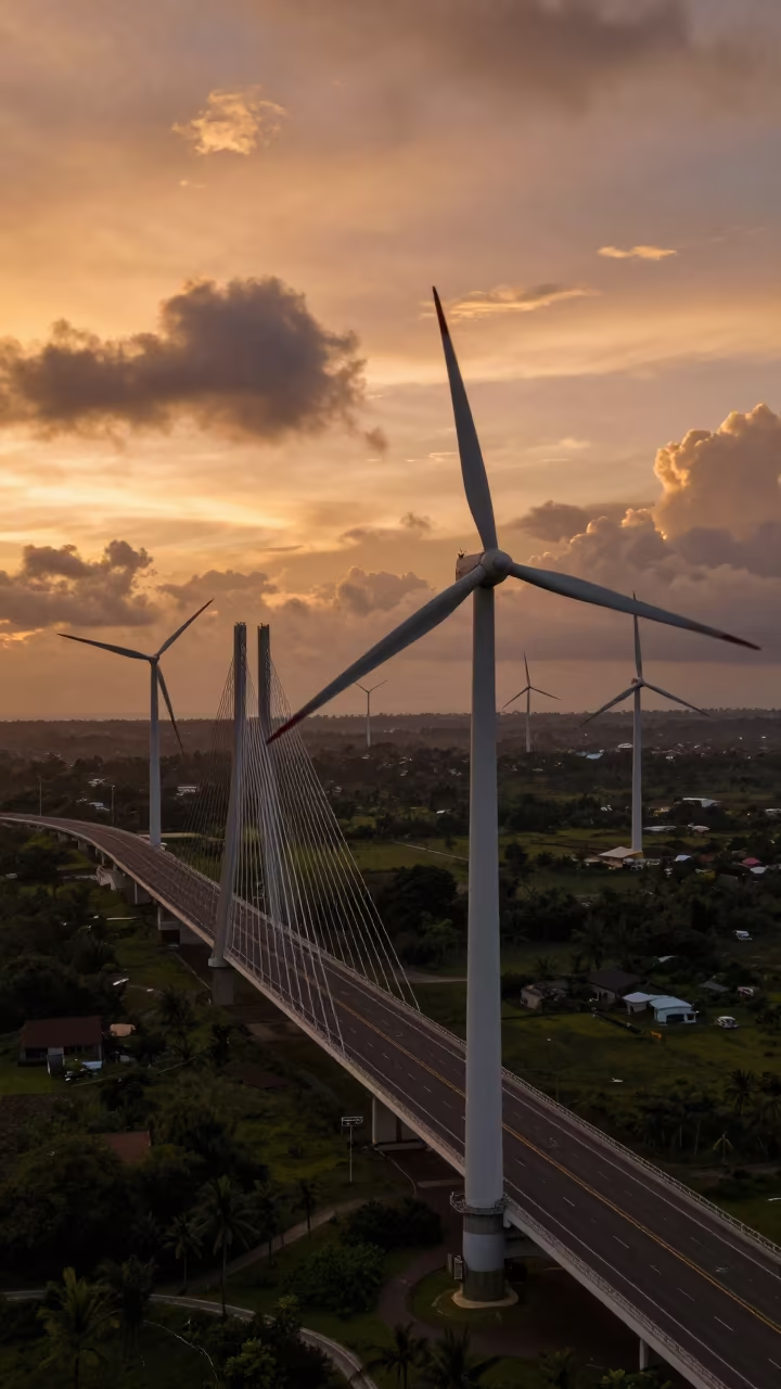
Wind Farm Drone View Near Lombok Bridge
Silhouetted Wind Farm Road Beneath Rotating Blades
Wind Farm Turbines Over Flooded Cameroonian Levee
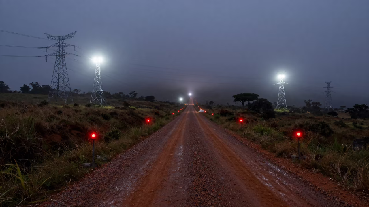
Rwanda Wind Farm Service Road Early Morning
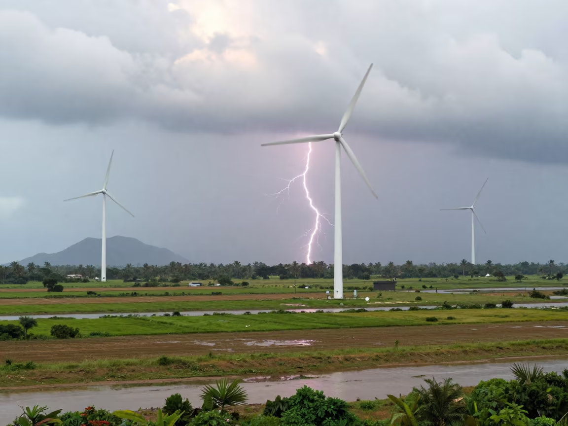
Lightning Fork Over Mekong Delta Wind Turbines

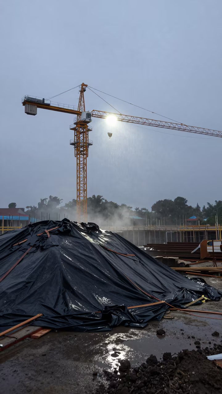
Lead Waste Drum on Monsoon Construction Deck
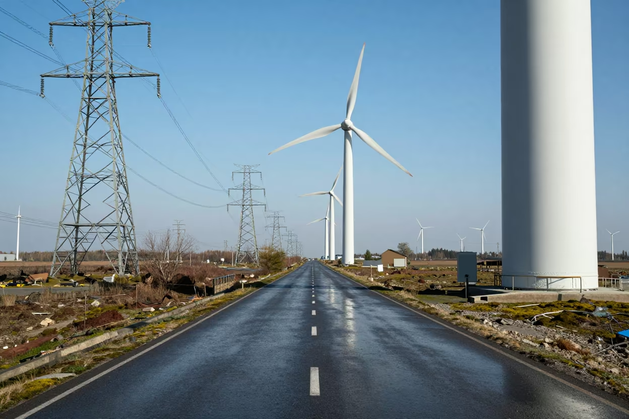
Wind Farm Aerial View Beside Nicaraguan Motorway
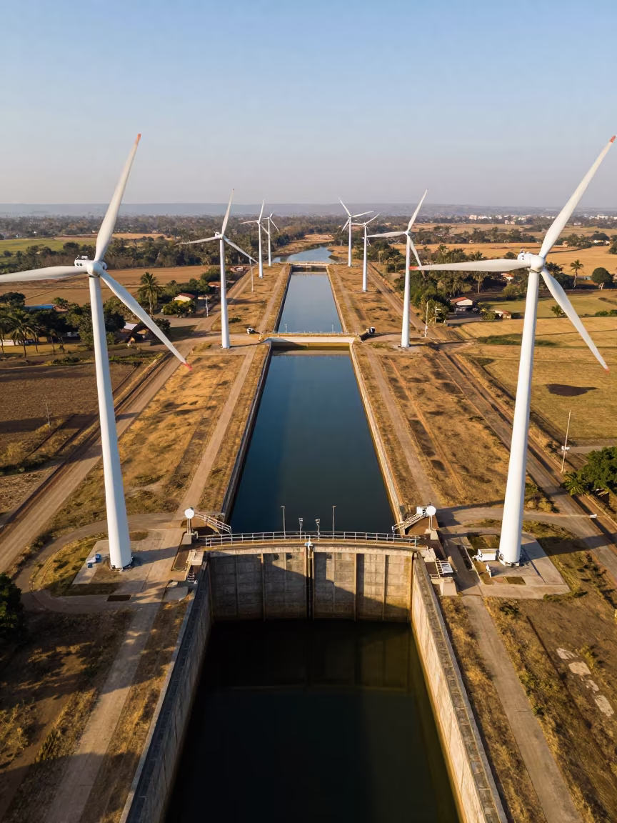
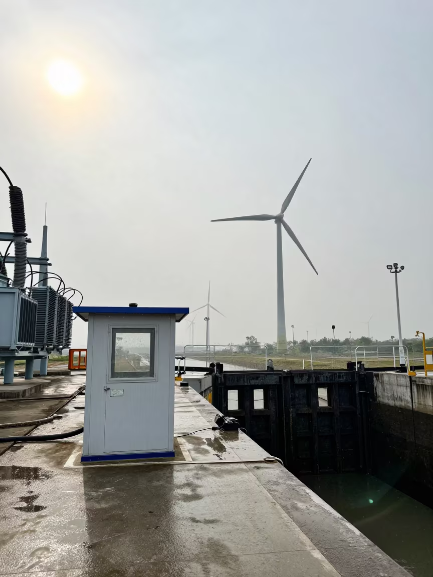
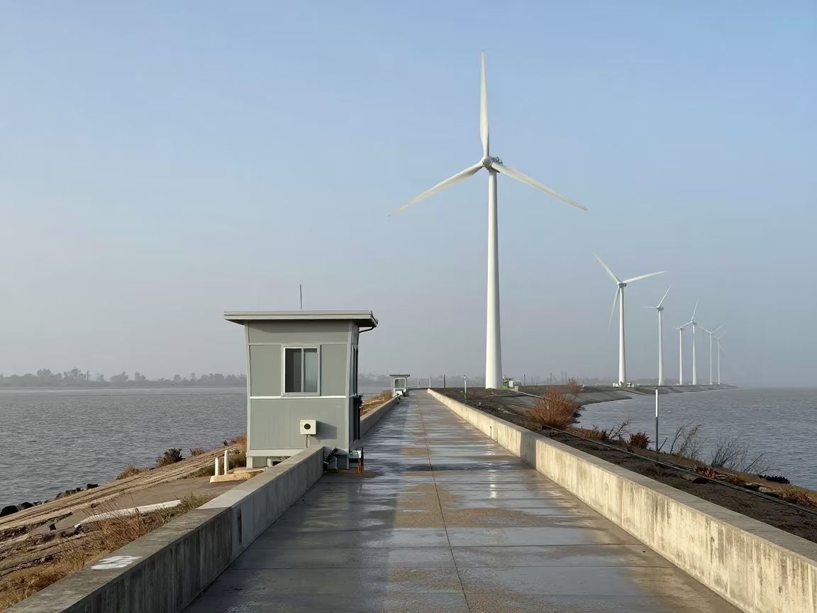
Drone View of Wind Turbines Over Canal Lock
Copper Dawn Light Over Wind Farm Service Road
Empty Dam Deck Amber Beacons Dawn Monsoon
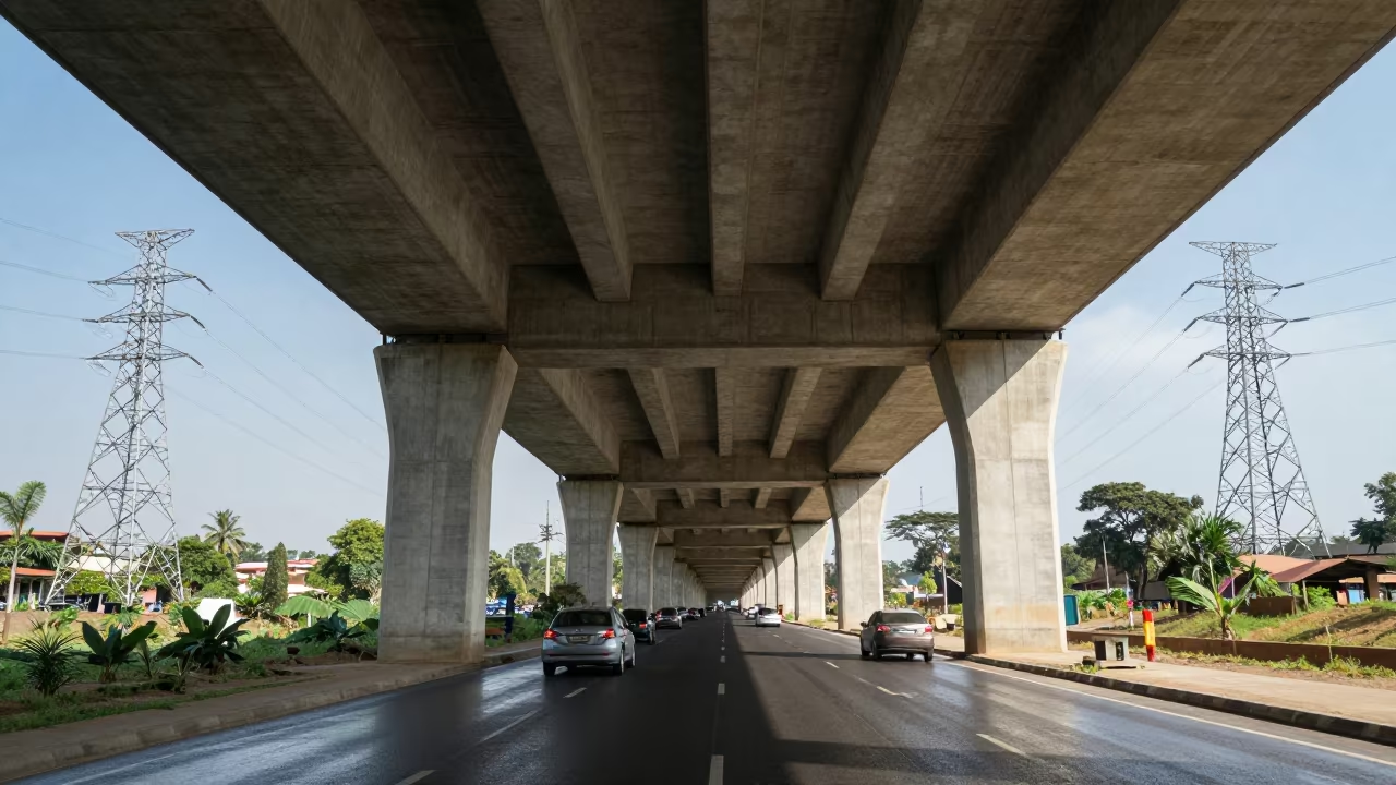
Shadows on Flyover Underside Adama Wet Season
Dawn Wind Farm Crane Along Nagaland River Levee
Dawn Wind Turbines South Sudan Storm Barrier
Wind Farm Beside Motorway After Sunrise
Wind Farm Cabin Amid Monsoon Sleet at Canal Lock
Silhouetted Wind Blades on Wet Overpass at Dusk
Service Road Beneath Wind Turbines Nagaland
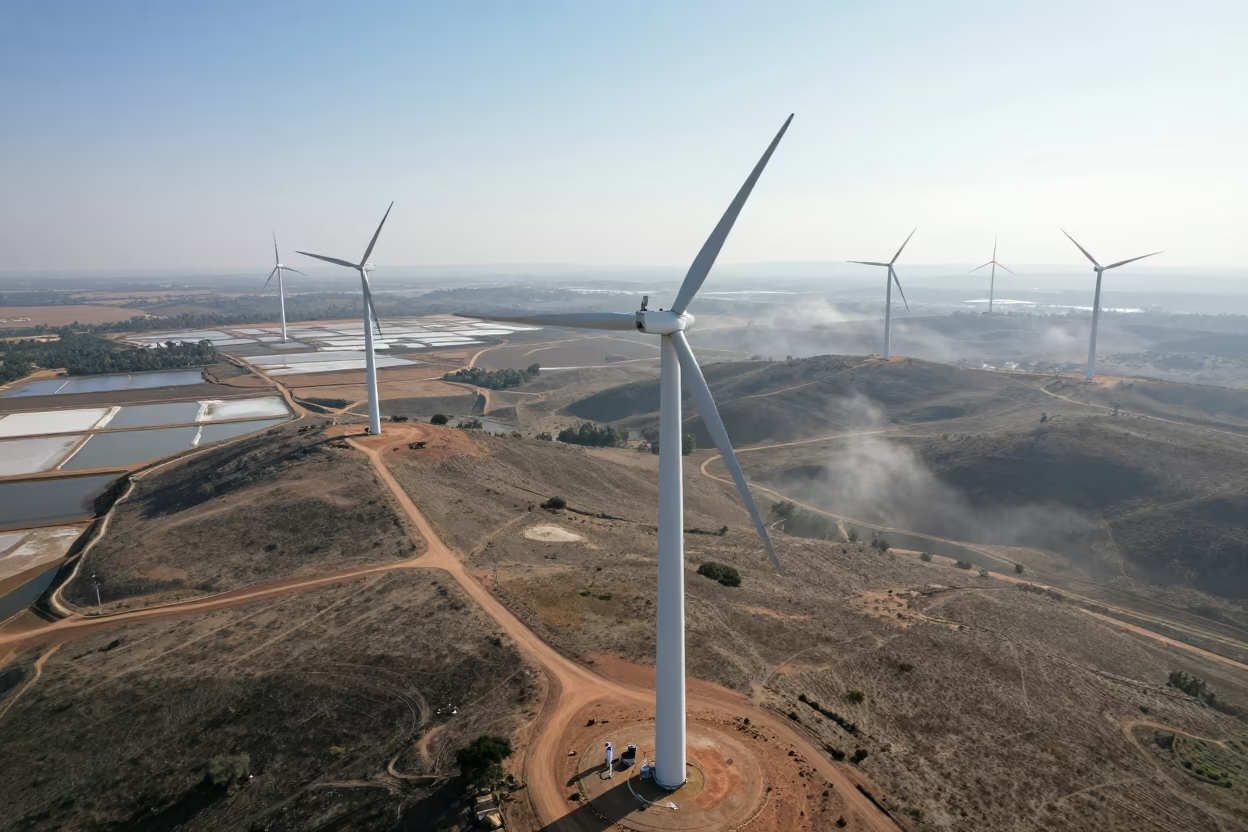
Aerial View of Wind Turbines Over Salt Ponds
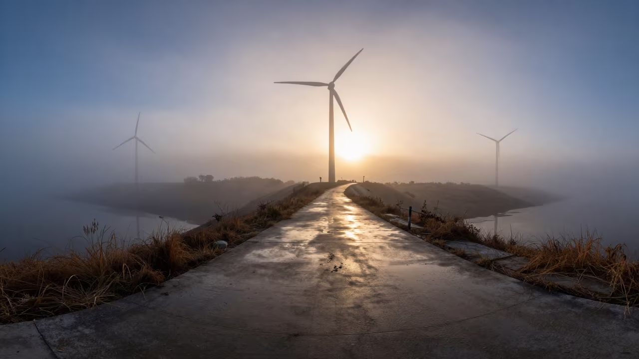
Wind Farm Road Vanishing Through Fog Under Towers
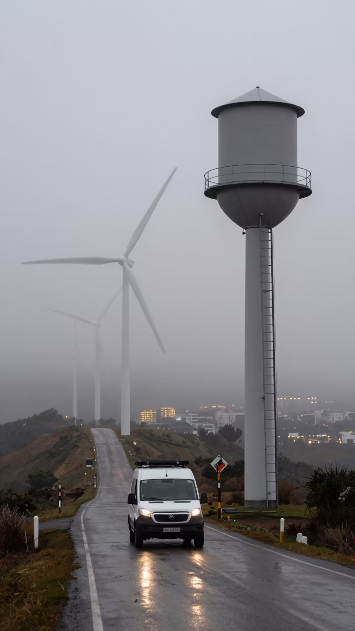
Wind Farm Road Vanishes in Hill Fog Near Water Tower
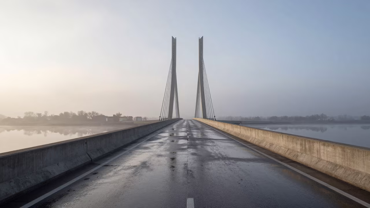
Veneto Levee Road Under Cable-Stayed Bridge Dawn
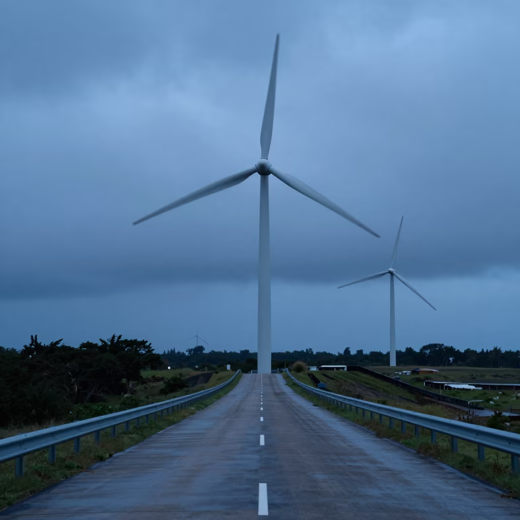
Wind Farm Road Under Turning Blades at Blue Hour
Wind Farm Cabin Along Levee in Sleet

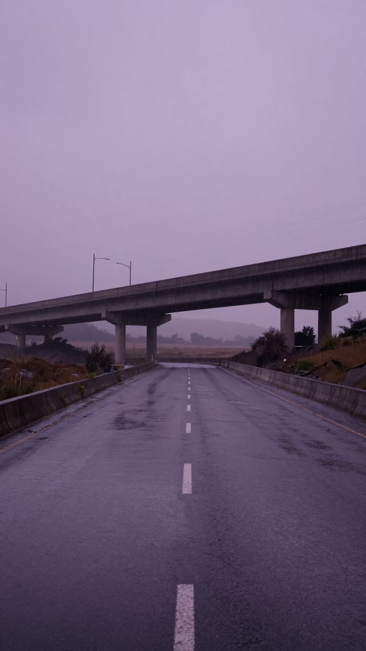
Highway Flyover Stack Over Chad Levee Monsoon
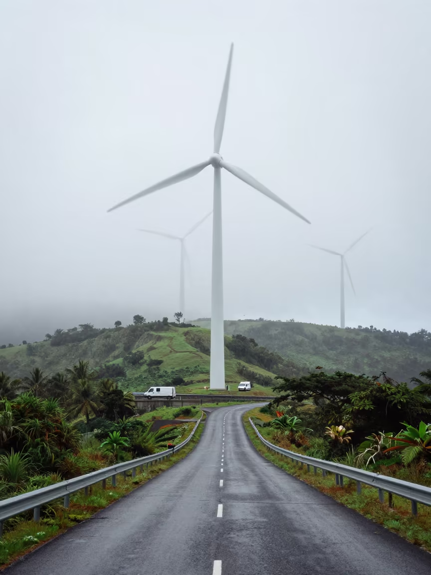
Wind Farm Road Vanishes Through Hill Fog Mauritius
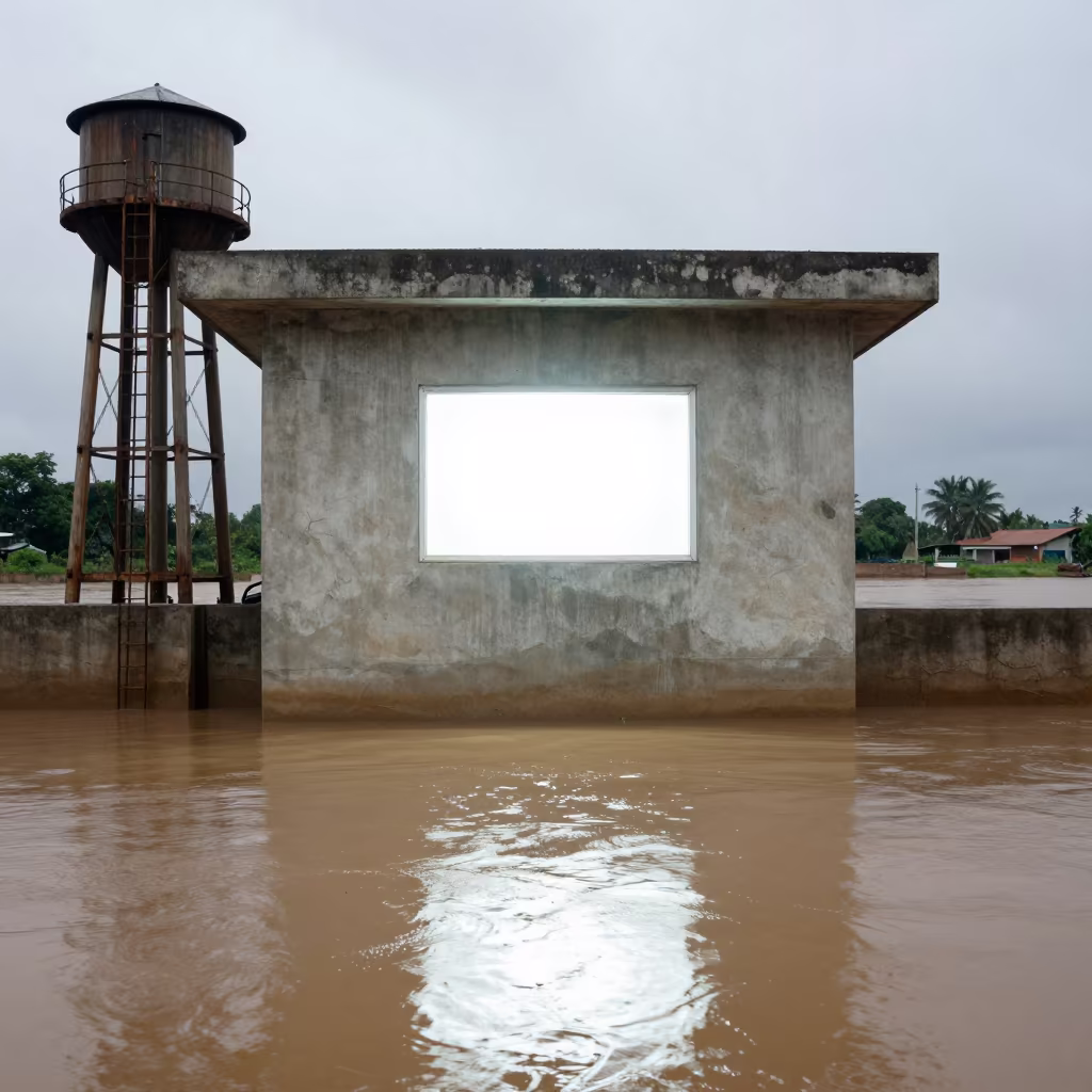
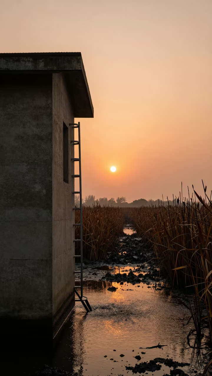
Levee Pump House Window Glowing Over Floodwater
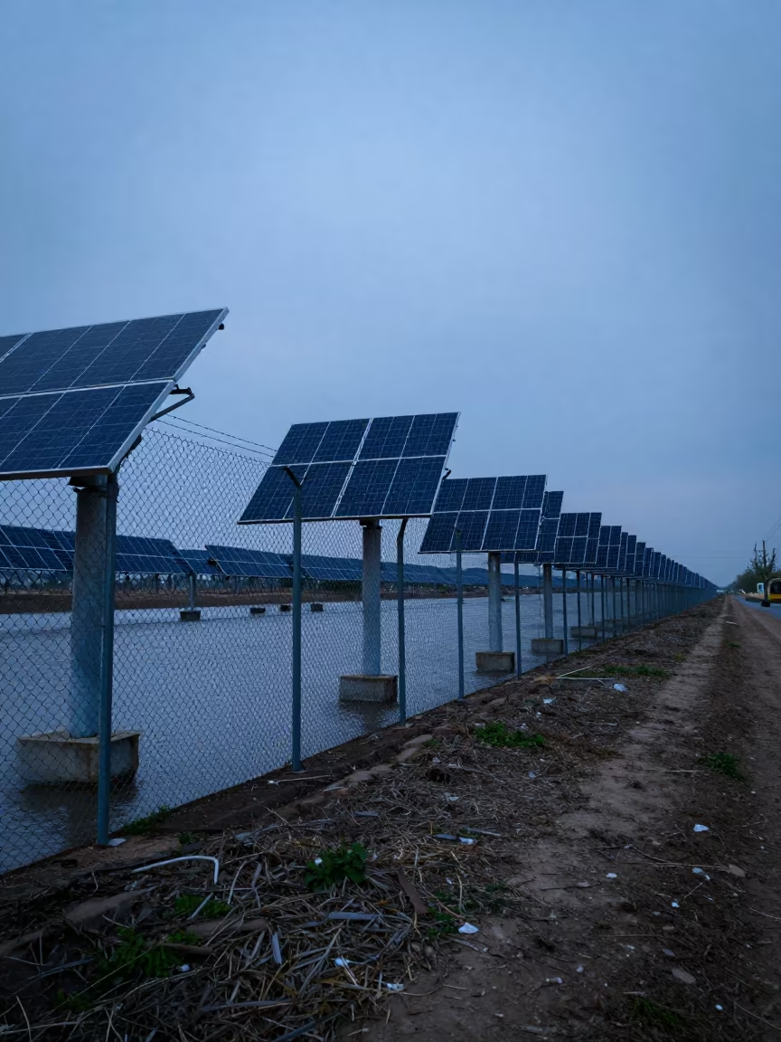
Solar Fence Rattling in Indigo Cairo Twilight
Twilight Storm Levee Road Andes Silhouette

Wind Farm Road Under Bridge Blades North Korea
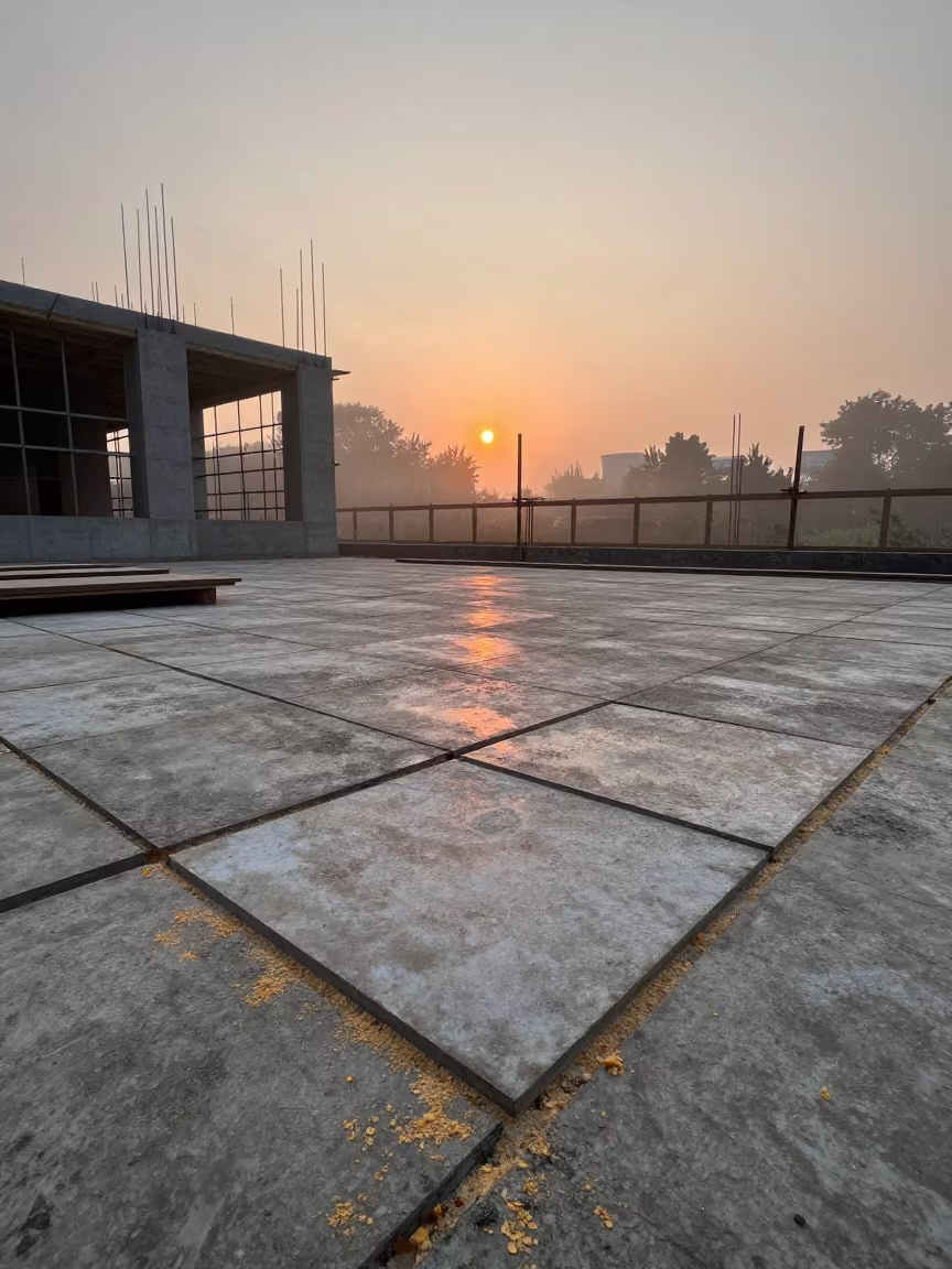
Speed Squares and Sawdust on Construction Deck
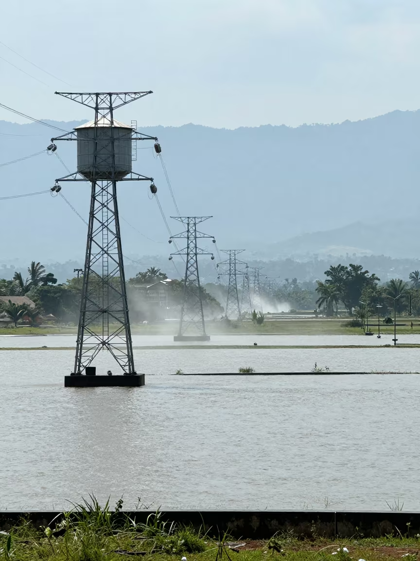
Transmission Towers Over Flooded Fields Dar es Salaam
Gambia Aqueduct Under Monsoon Heat
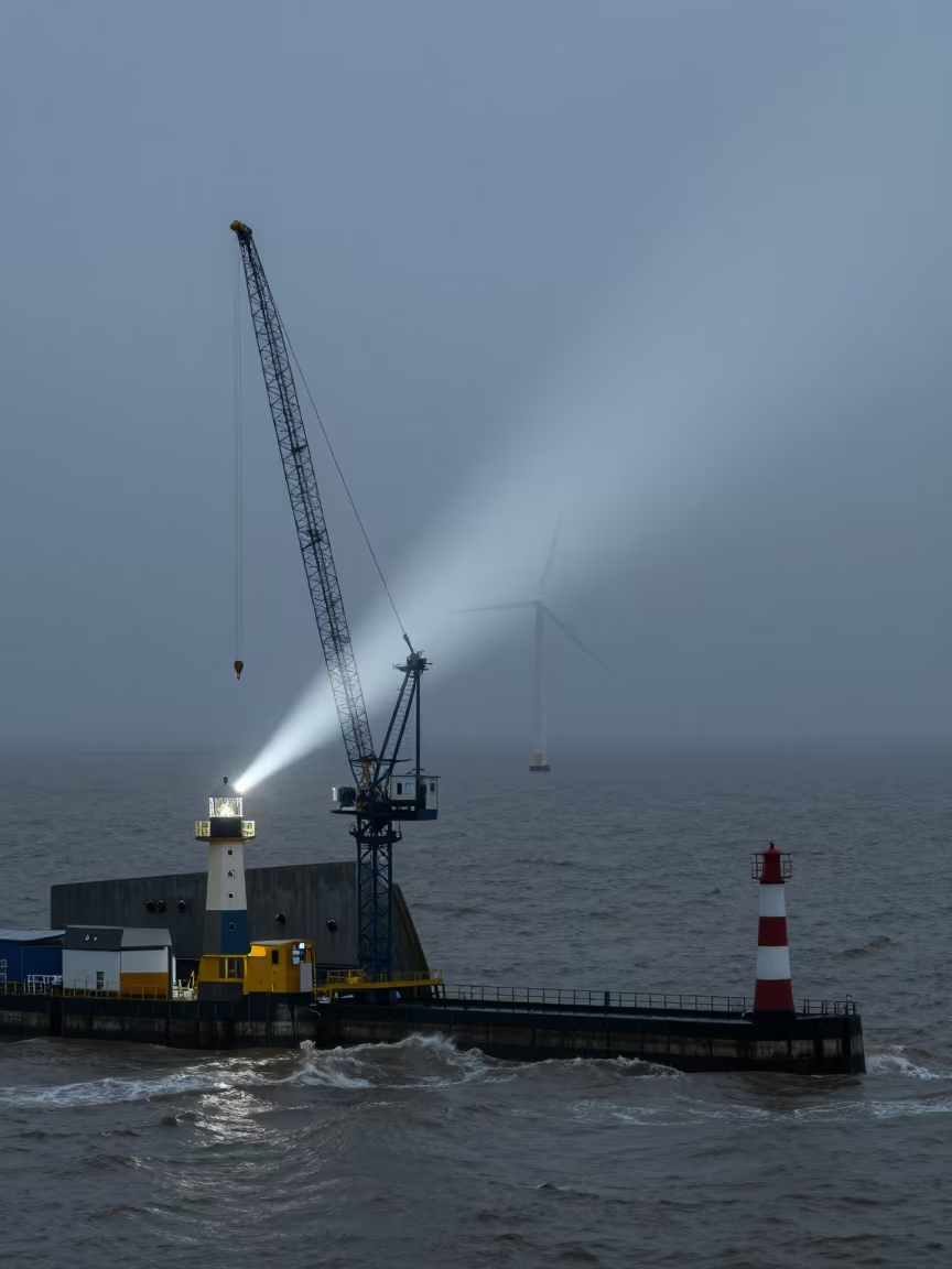
Storm Surge Barrier Crane Under Night Lighthouse Sweep
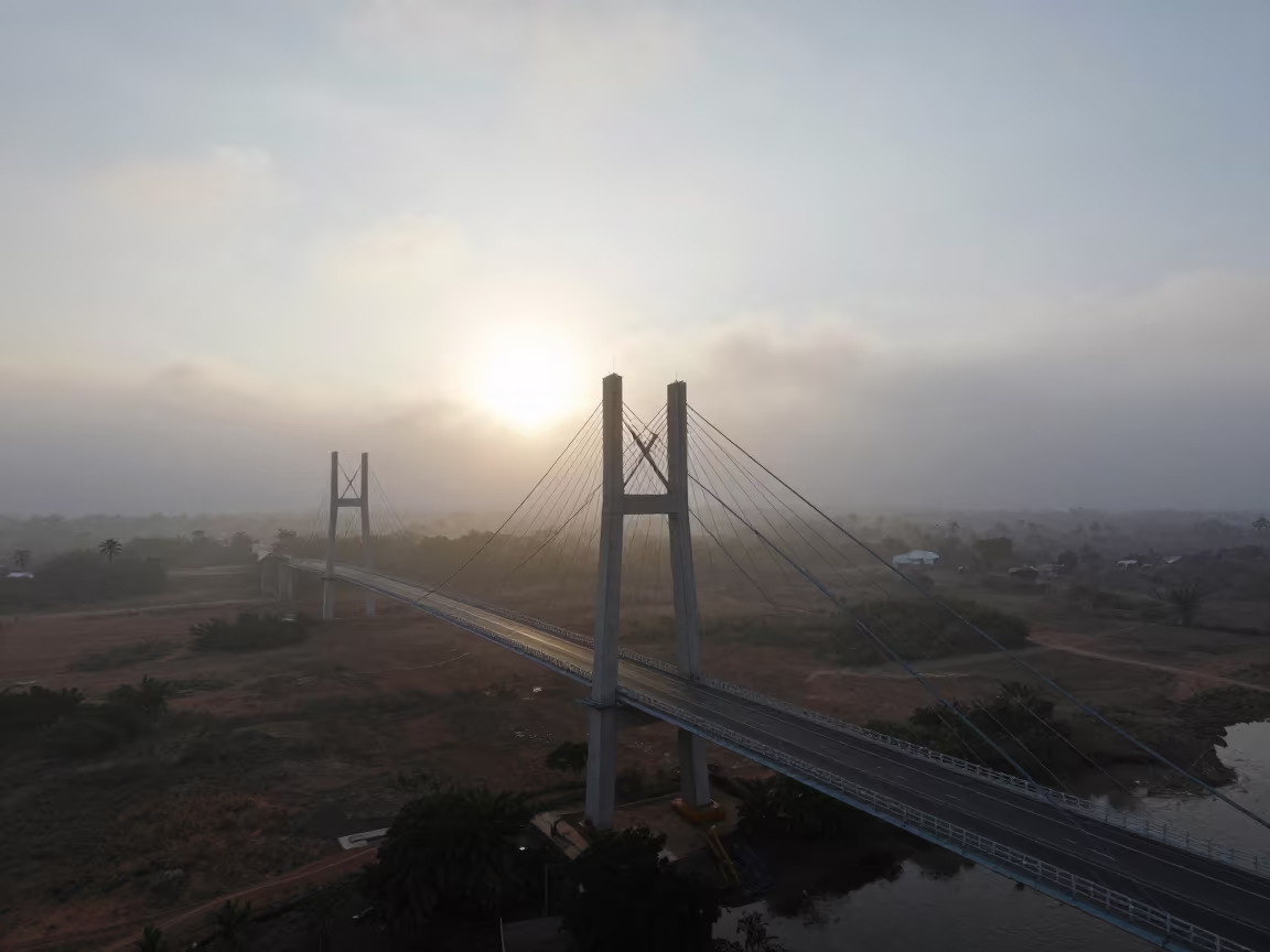
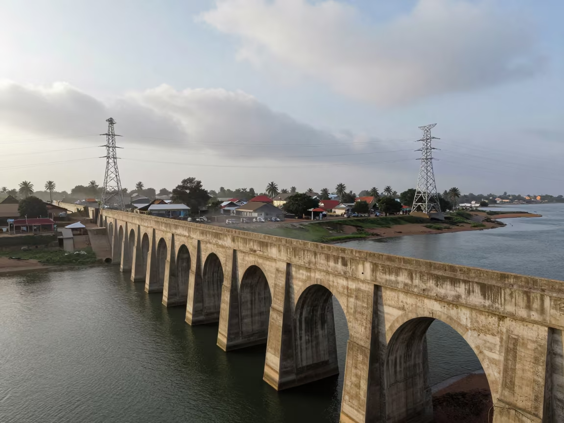
Suspension Bridge Morning Fog Equatorial Guinea
Dawn Lighthouse Sweep Over Monsoon Construction Site
Wind Turbines Over Kuwait Salt Ponds
Comments