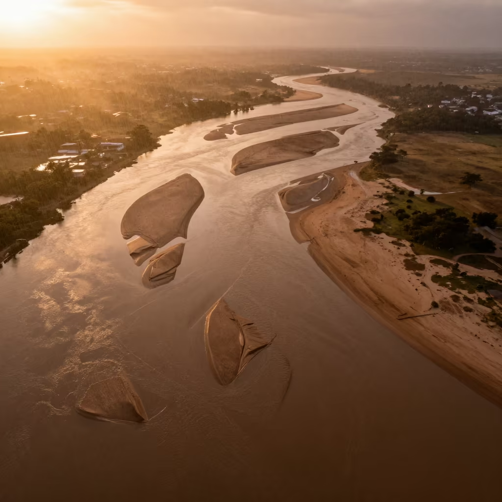
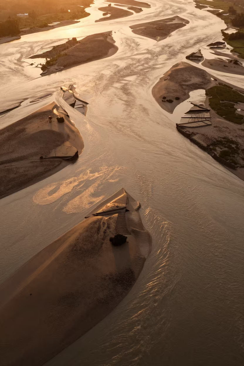
Braided Floodwater Aerial View Near Tamale
by Felicia Wolf
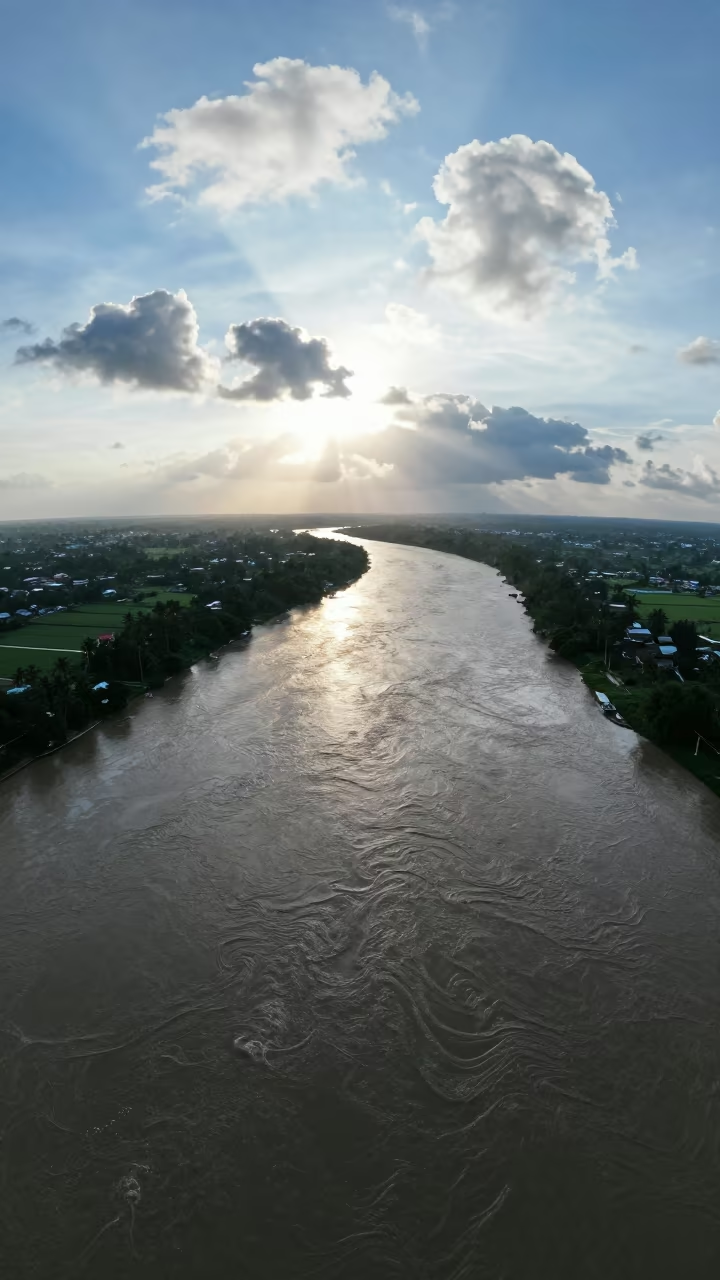
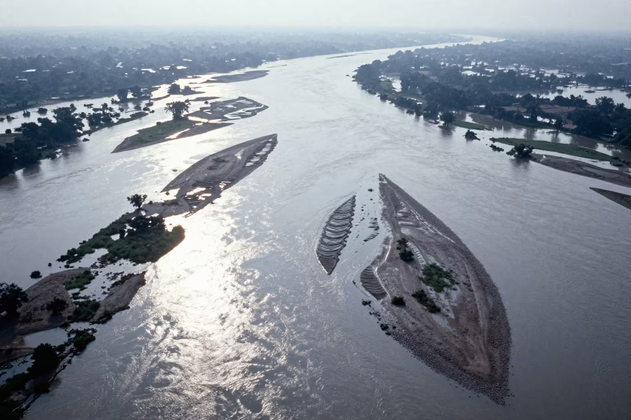
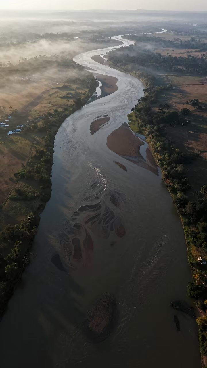
Pale morning light spills across a vast network of braided river channels near Tamale, cutting through the cool season landscape. The water flows in distinct, muddy ribbons that twist and separate under a thin layer of clouds. Low sun strikes the horizon haze, casting a soft glow that highlights the sediment-heavy currents. Dramatic cloud formations drift overhead, adding texture to the sky above the flat terrain. The diagonal composition creates visual tension as the waterways slice across the frame. The geometry resembles a natural map, with clear distinctions between the wet, reflective channels and the dry, earth-toned banks. A sharp shadow edge defines the boundary where the water meets the land. The scene shows the intricate, almost mathematical patterns of the floodwater distribution.
Free to download. CDN hosting requires a link back to this page. Terms
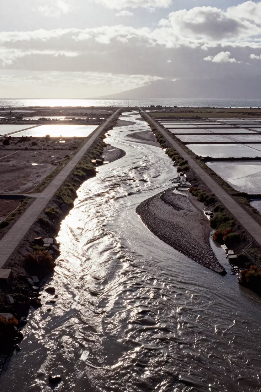
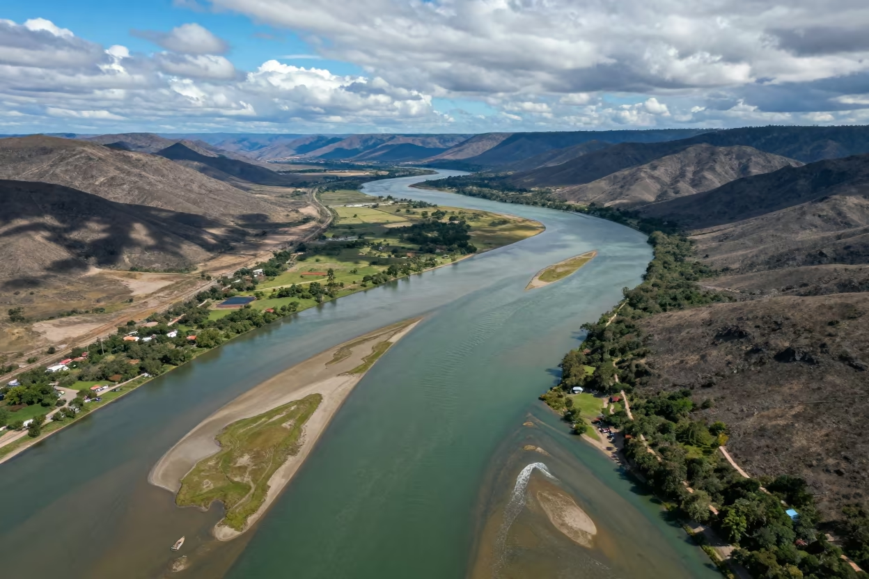
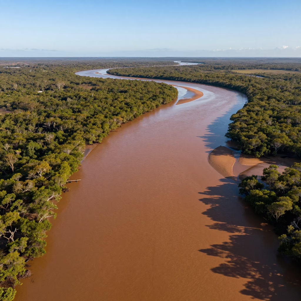
Similar Images
Aerial River Delta Braided Channels Cabimas
Aerial View of Braided River Confluence Mixing Muddy Water
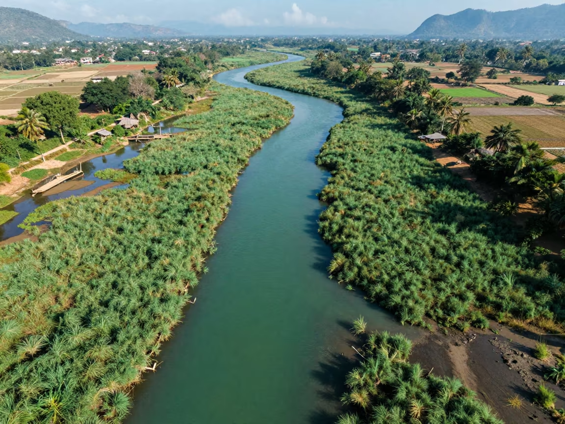
Aerial View of Braided River Delta Channels
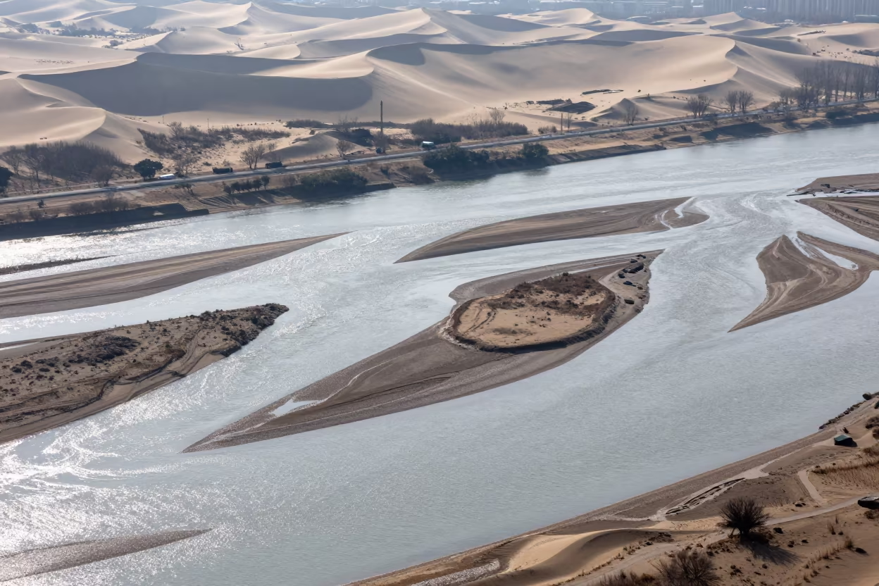
Aerial River Islands Braided Through Silver Floodwater
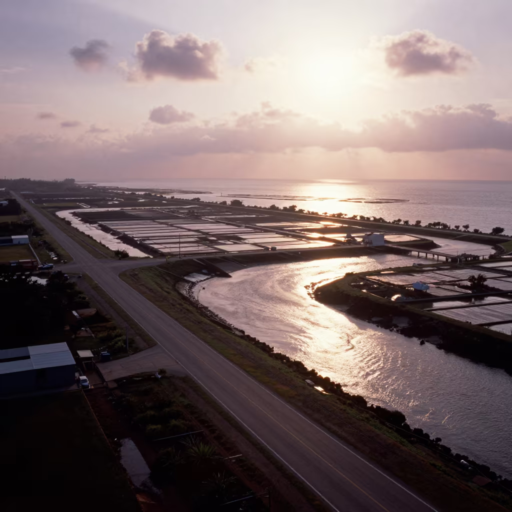
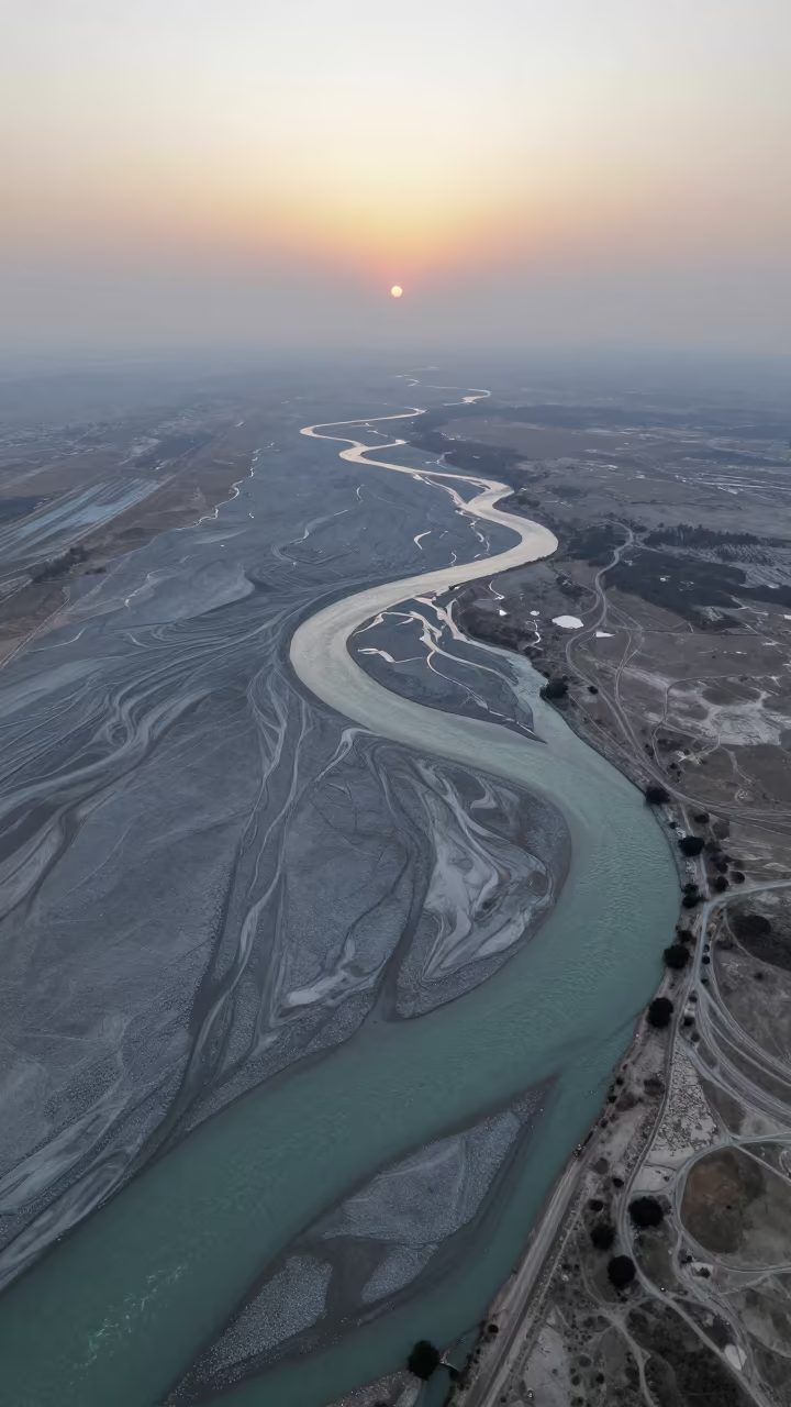
Aerial View of Braided River Delta in Copper Sunset Light
Braided Delta Valley Floor After Storm
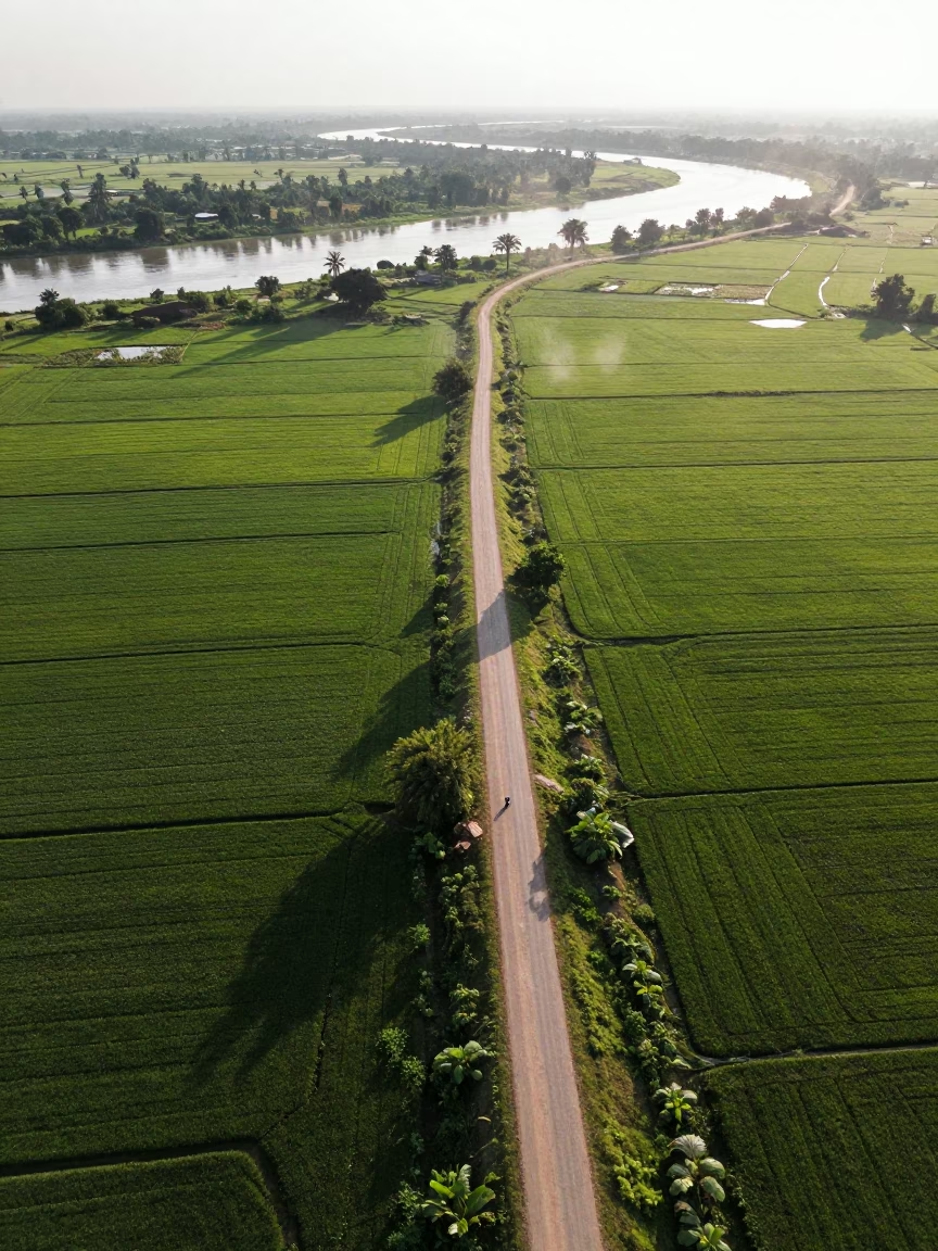
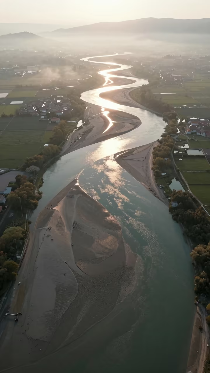
Braided Floodwater Channels Aerial View

Night Aerial View of Braided Floodwater Malawi Dunes
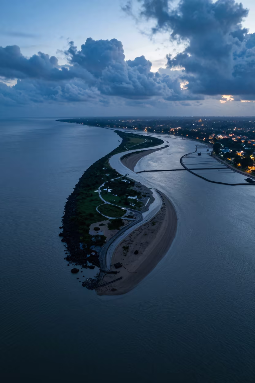
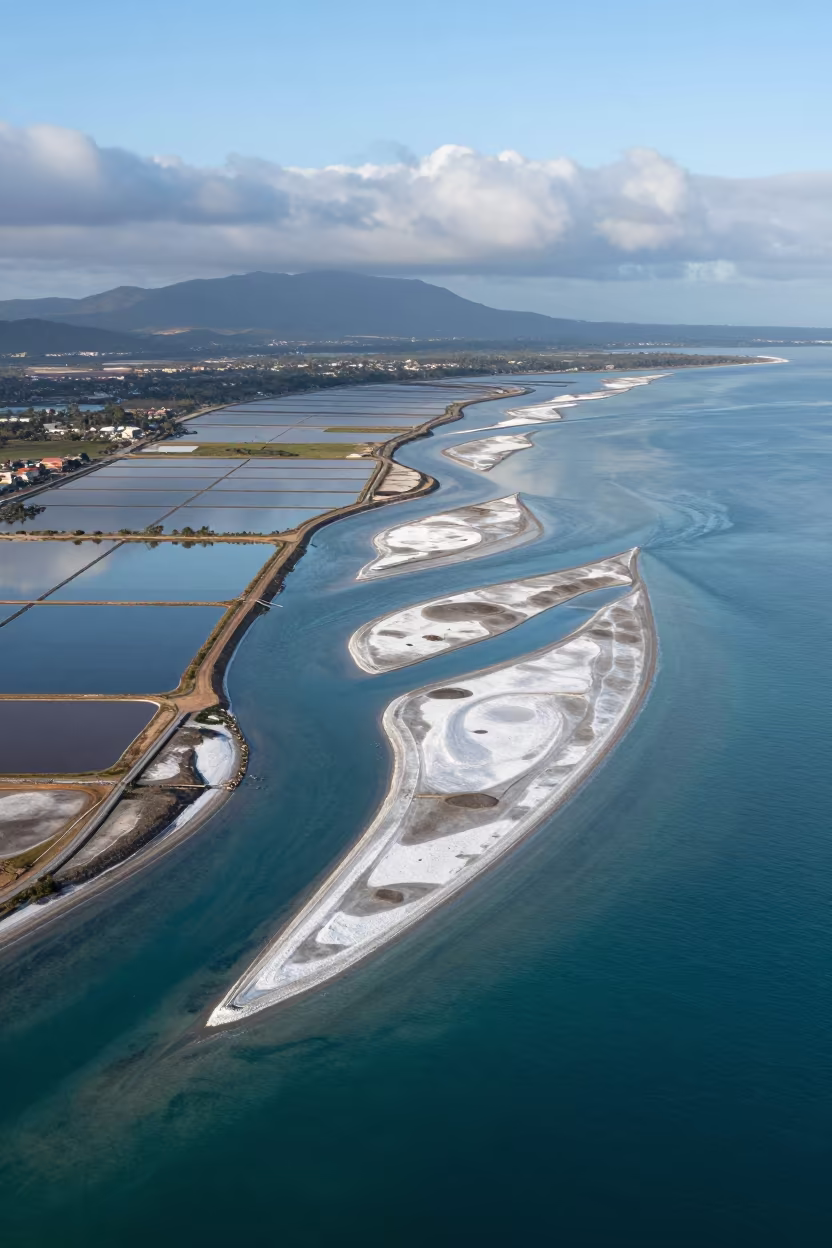
Aerial Braided Delta Meeting Sea at Blue Hour
Aerial Braided Floodwaters Near Ahvaz at Dawn
Aerial View of Kamchatka River Delta at Sunset
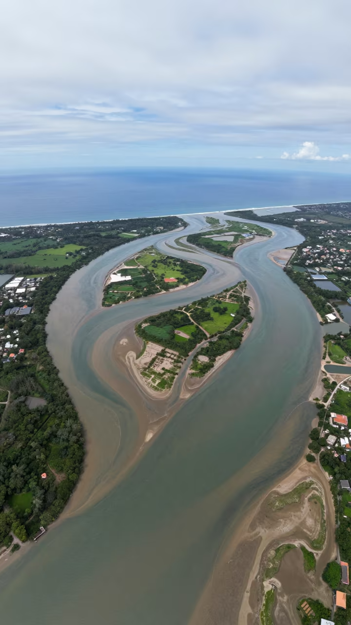
Aerial Braided Delta Meets Open Sea Philippines
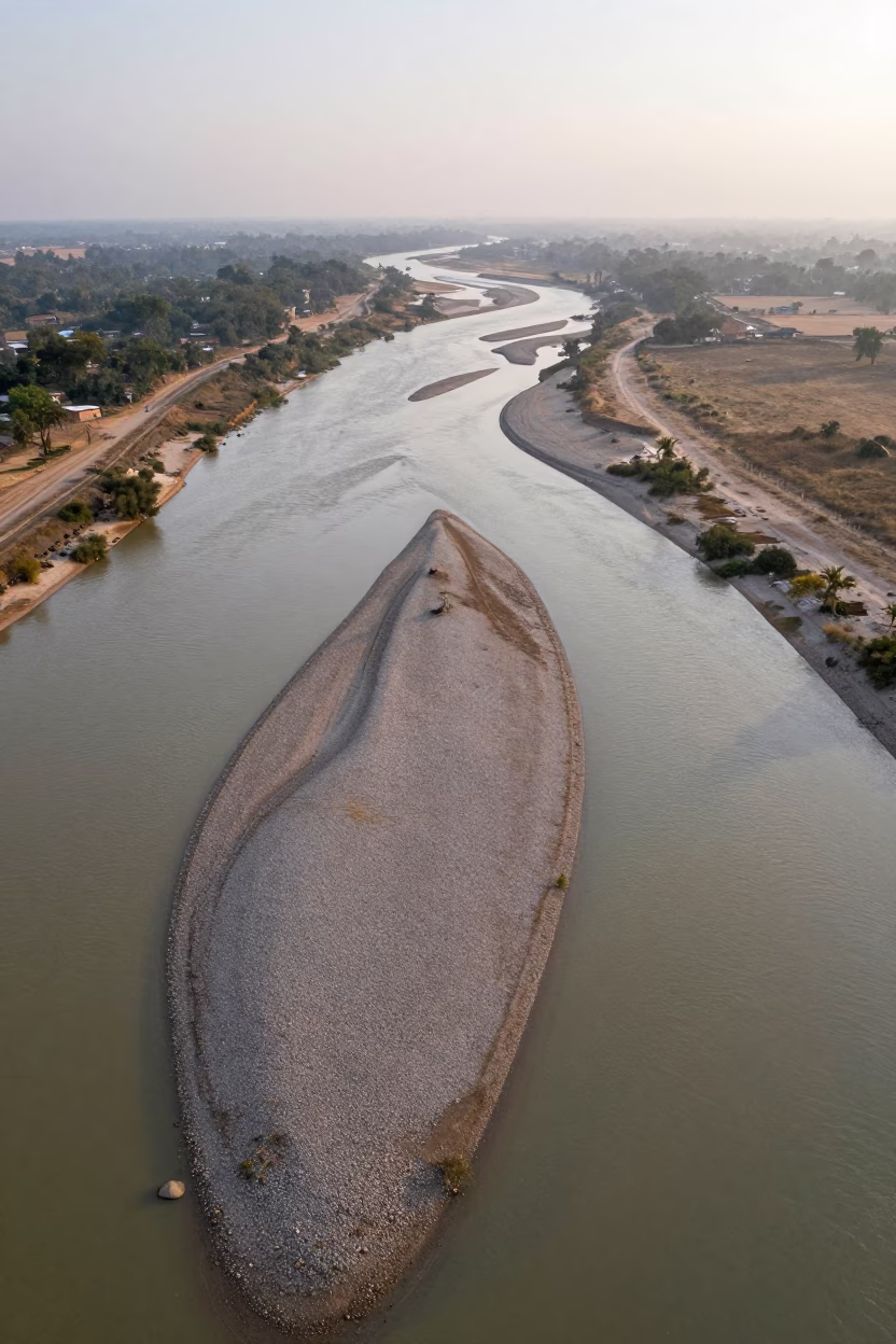
Aerial Braided River Islands Silver Water
Almere River Delta Aerial View Evening Rain
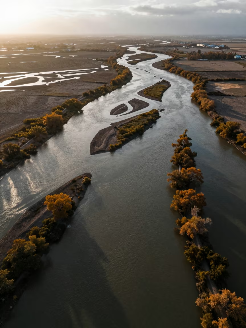
Braided River Silt Aerial View Campania Autumn
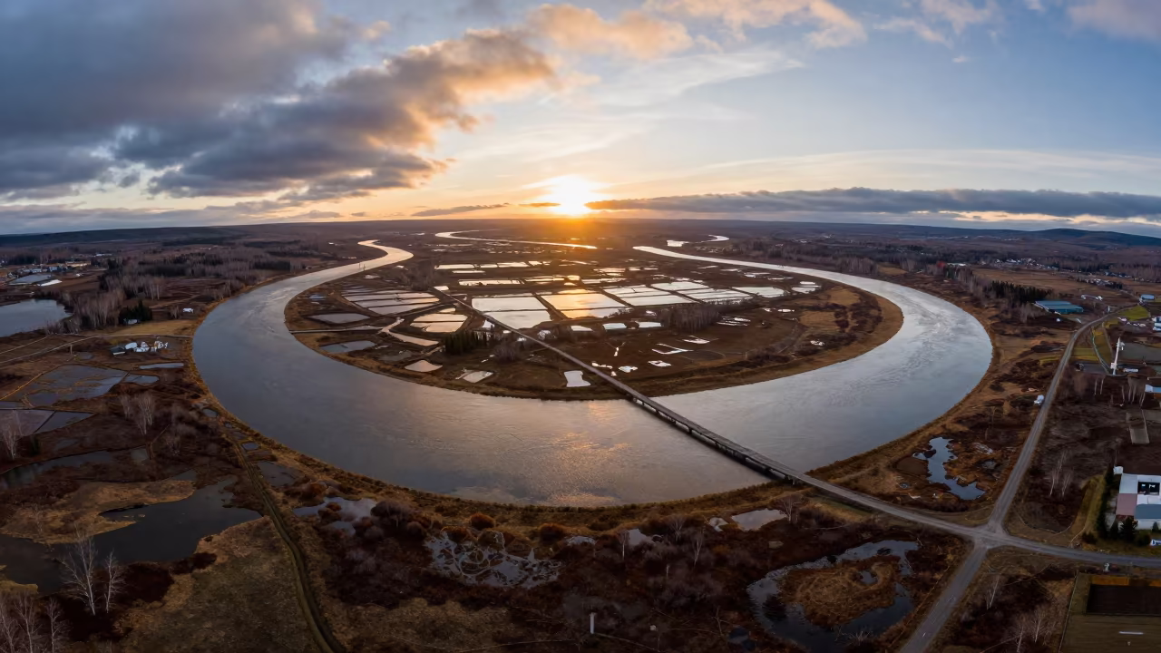
Aerial Sunset River Bend Maine
Amber Sunset Over Guangdong Braided River Silt
Braided River Glacial Silt Aerial View Cali
Aerial view of braided river channels near Havana
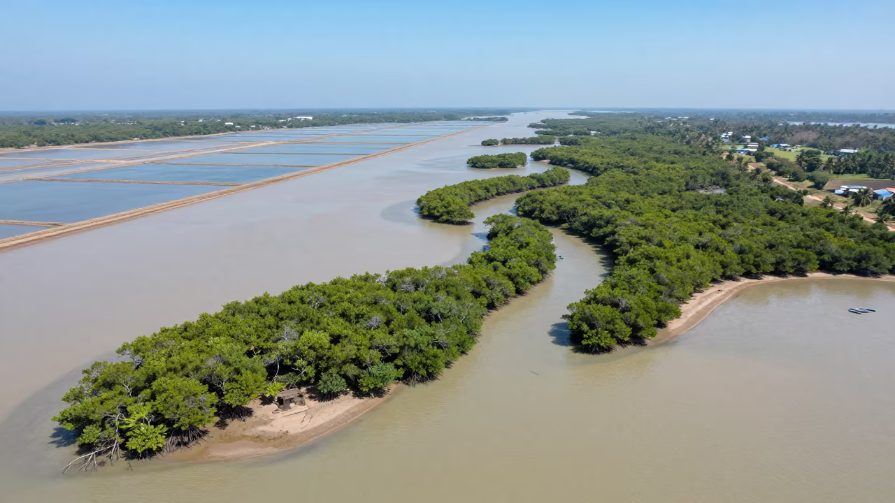
Aerial View of Queensland Mangrove Channels
Aerial View of Wetland Channels in Laos
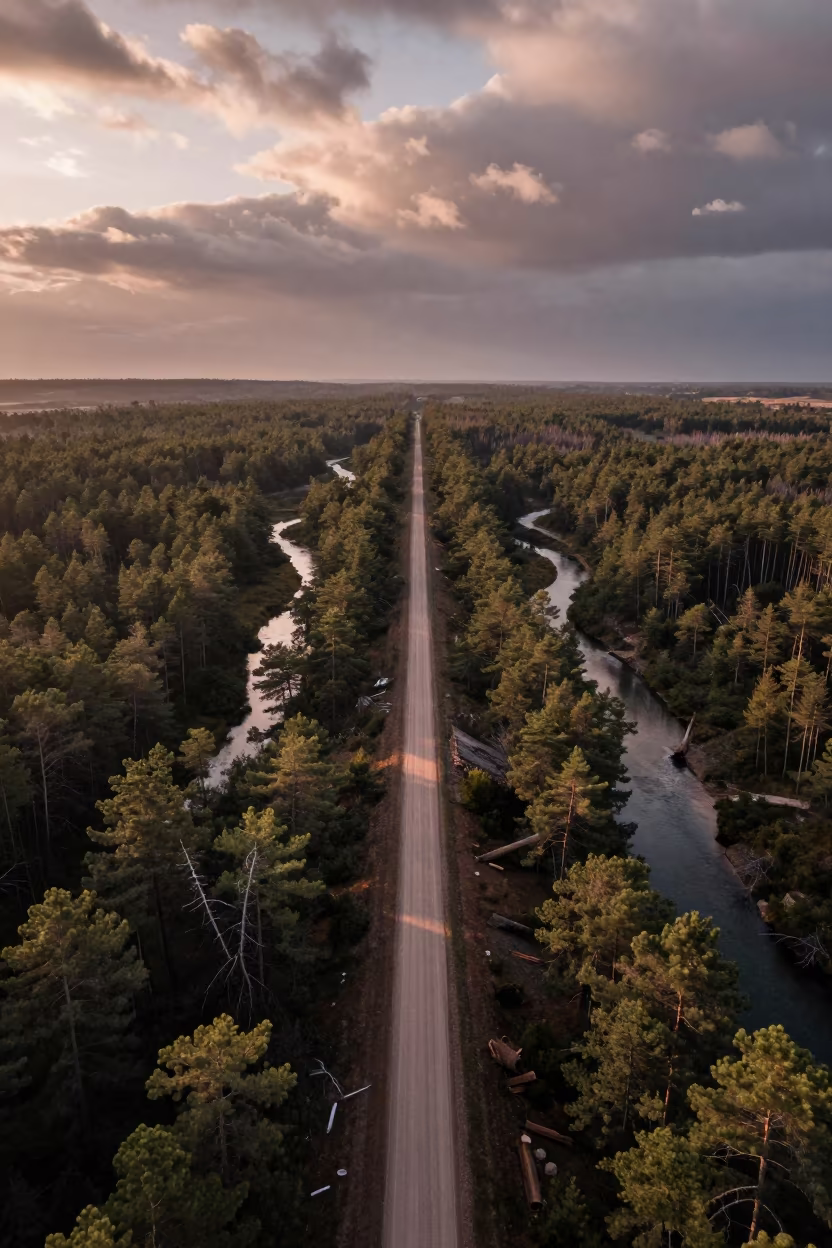
Aerial View of Logging Road and Braided River
Aerial Braided Delta Meeting Sea at Twilight
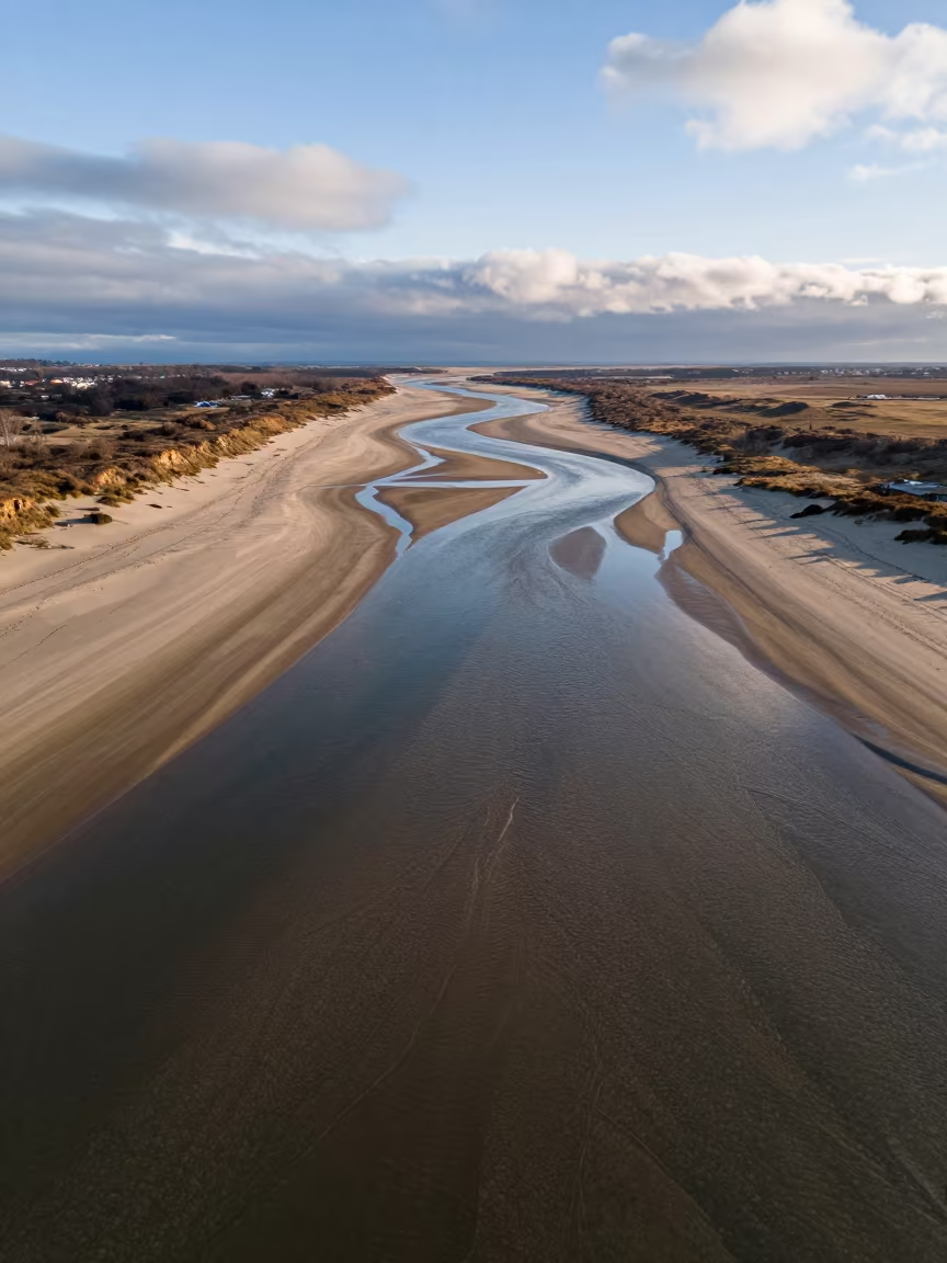
Aerial Winter Beach River Channels
Aerial Braided Delta Meeting Open Sea Near Mombasa
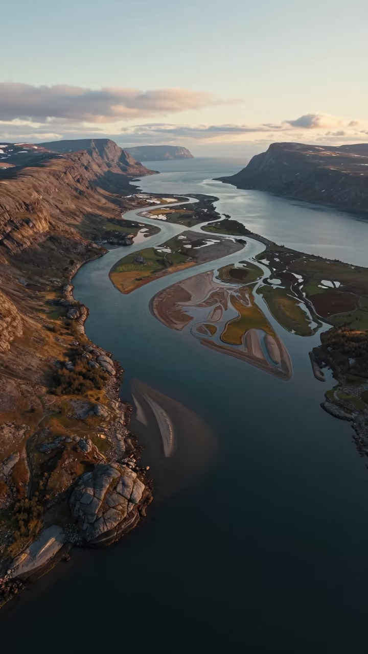
Norwegian River Delta Aerial View Midnight Sun
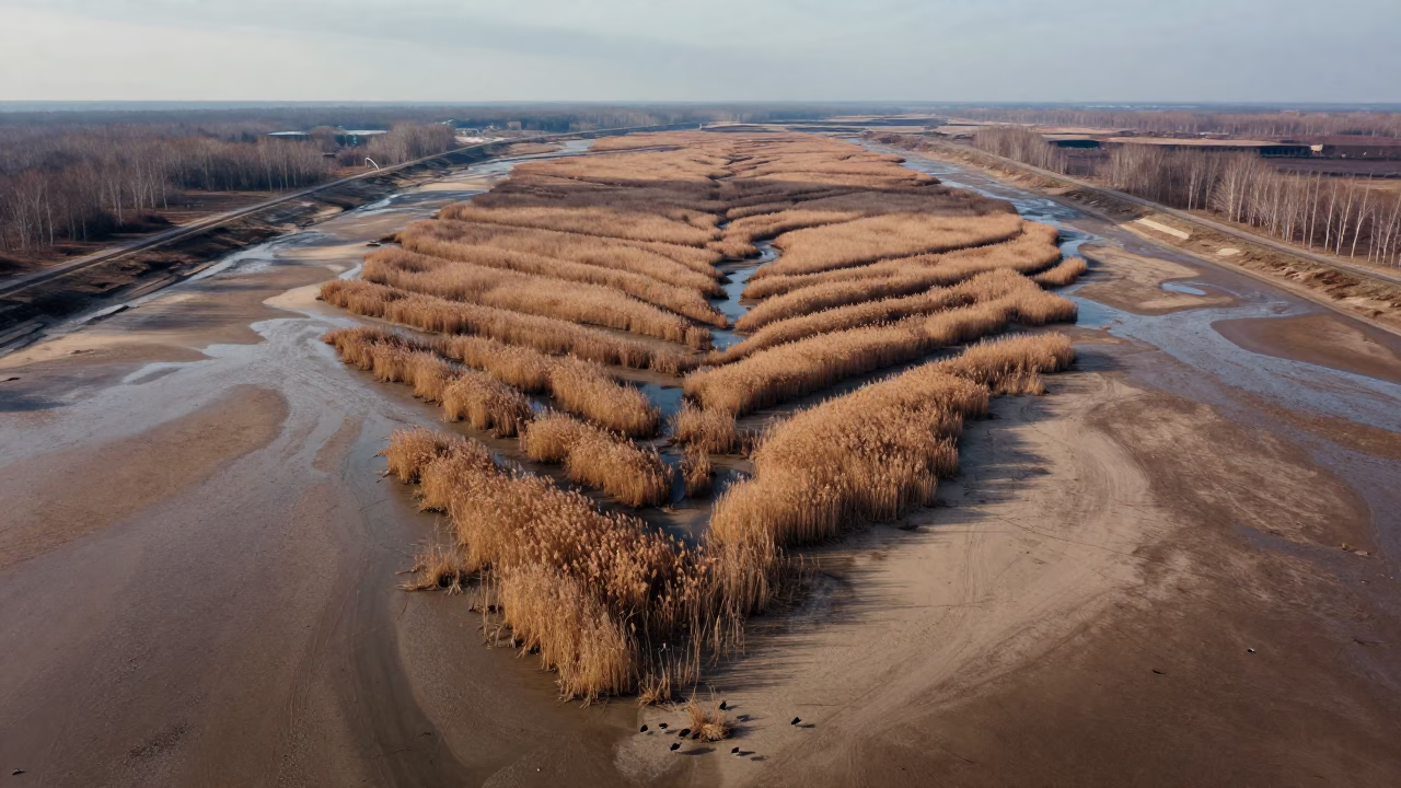
Mangrove Veins Across Tamil Nadu Mudflats
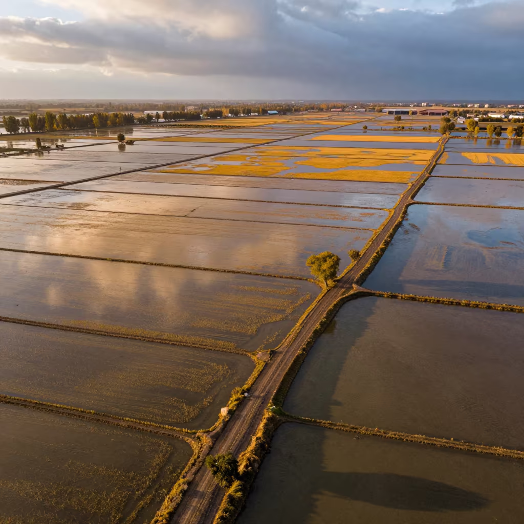
Aerial Rice Paddies Silk Road Evening Light
Aerial Lanes Over Braided Rivers Near Hpa An
Aerial Monsoon Floodwaters Mukalla Backlit Silhouette
Braided Delta Shadows Before Dawn
Aerial Braided Glacial Rivers Before Dawn
Aerial Tidal Creeks San Luis Haze
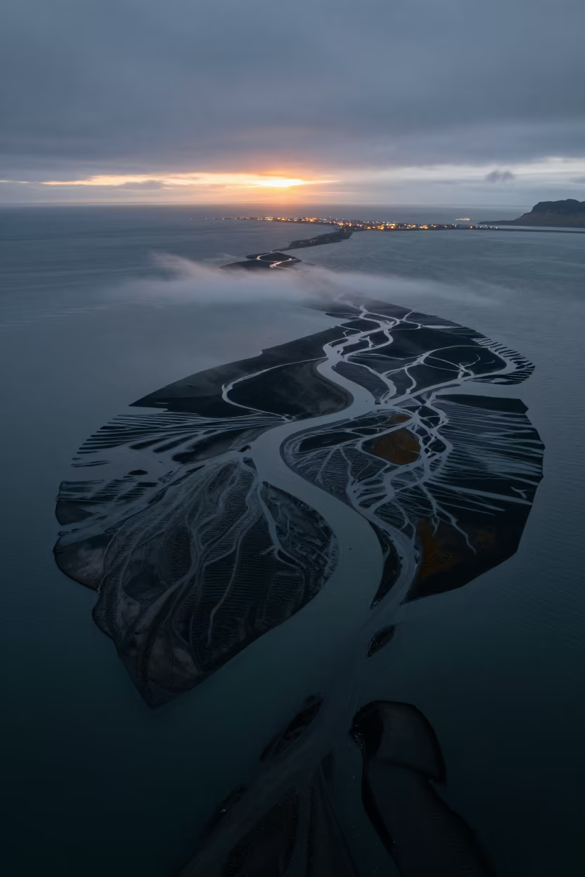
Braided Delta Meets Sea at Icelandic Twilight
Braided River Delta Channels Under Midnight Moonlight Near Etah
Aerial River Delta Branching Into Sea Near Cape Town
Aerial View of Kenyan River Market After Rain
Braided Glacial Rivers Sunset Winter Aerial View
Comments