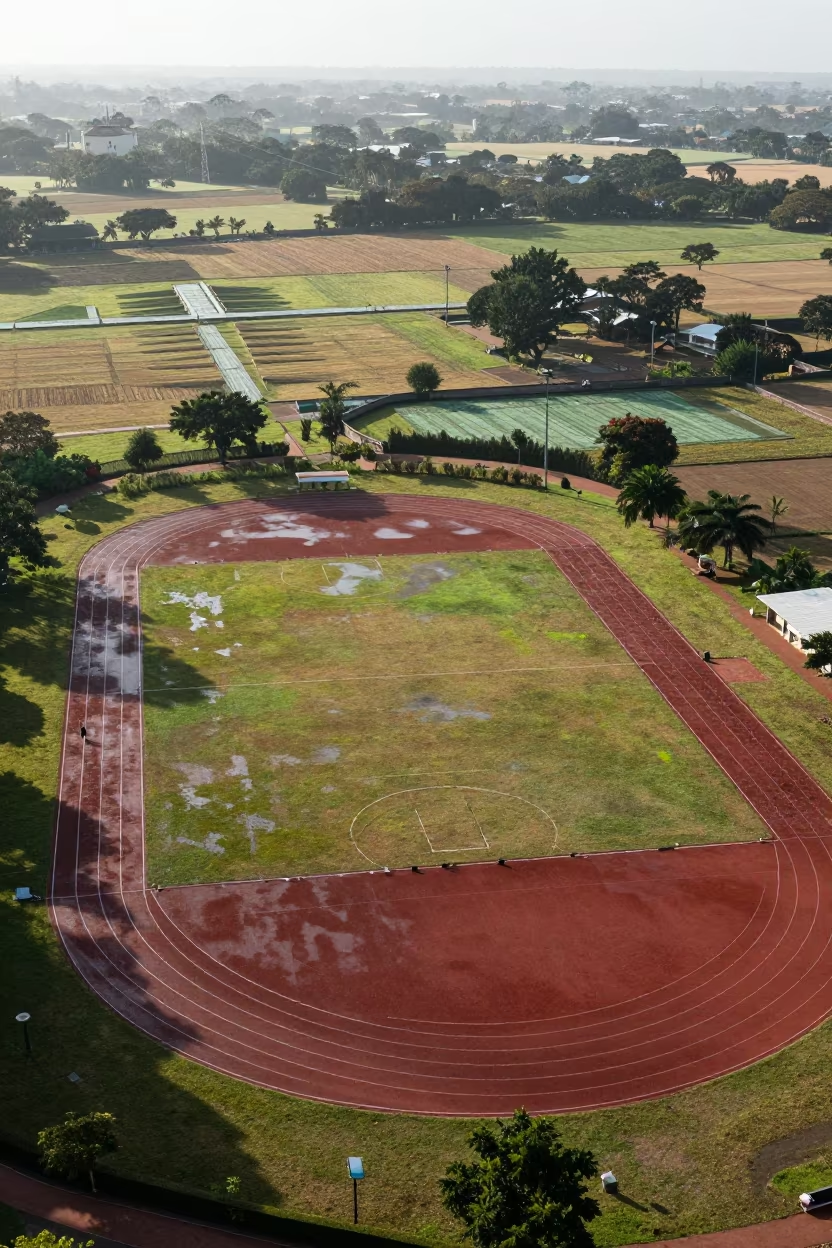
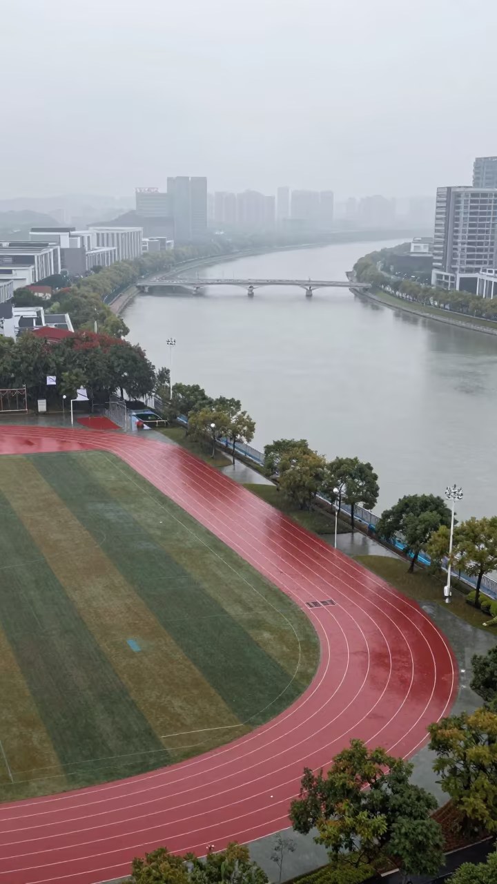
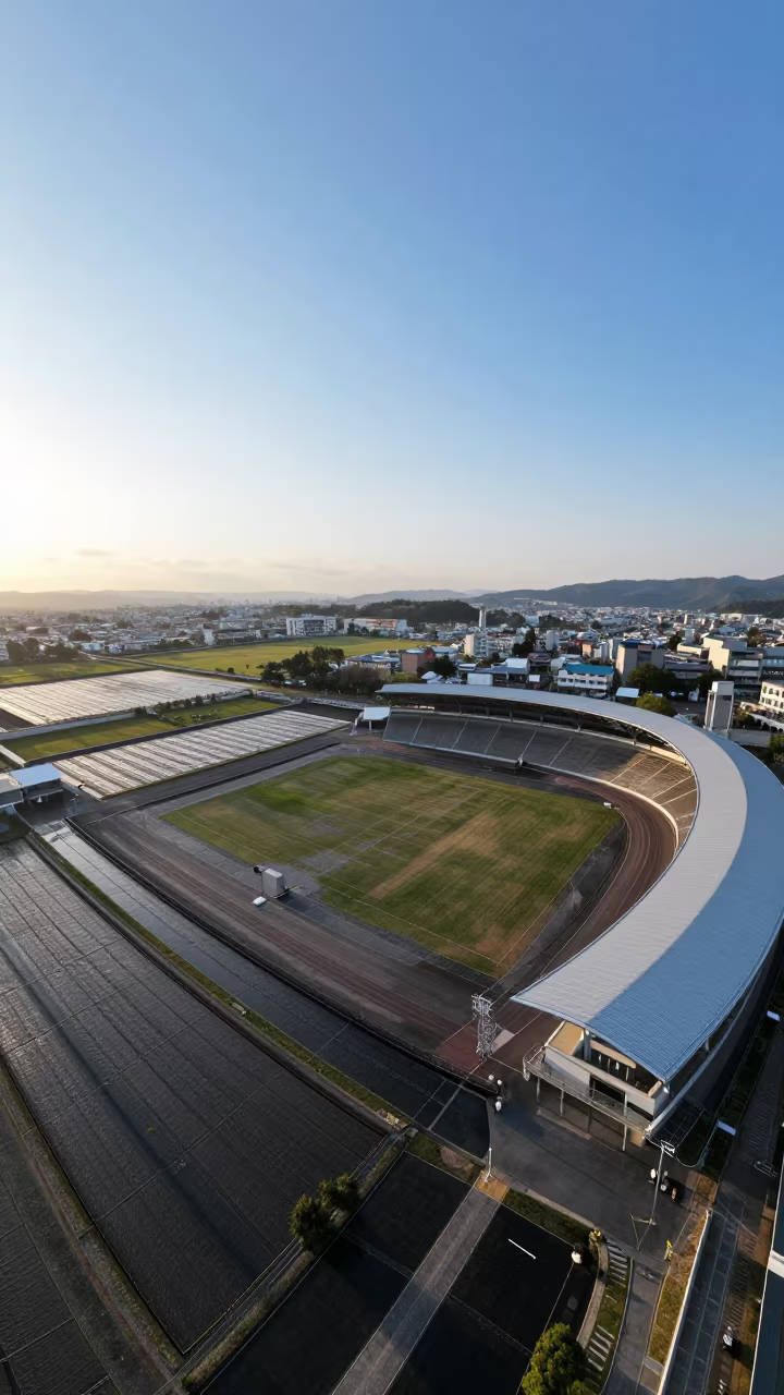
Aerial View of Zimbabwe Sports Complex Tracks
Bright afternoon light cuts through a thin veil of light drizzle, turning the vast Zimbabwean landscape into a patchwork of wet earth and structured geometry. Below, a sports complex sits nestled among irrigation patterns, its running tracks forming perfect red ovals against the surrounding green and brown fields. The rain glistens on the synthetic surfaces, creating soft reflections that contrast with the matte texture of the damp soil. Wide panoramic lines reveal the precise curvature of the lanes stretching across the terrain, while the seasonal shift shows in the mix of lush grass and drying earth. The irrigation channels carve straight lines through the natural topography, intersecting with the organic curves of the athletic fields. A dark shadow of a cloud drifts over the far corner of the stadium, deepening the color of the track beneath it.
Free to download. CDN hosting requires a link back to this page. Terms
Similar Images
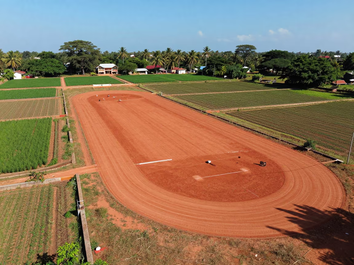
Aerial View of Sports Complex and Irrigation Fields
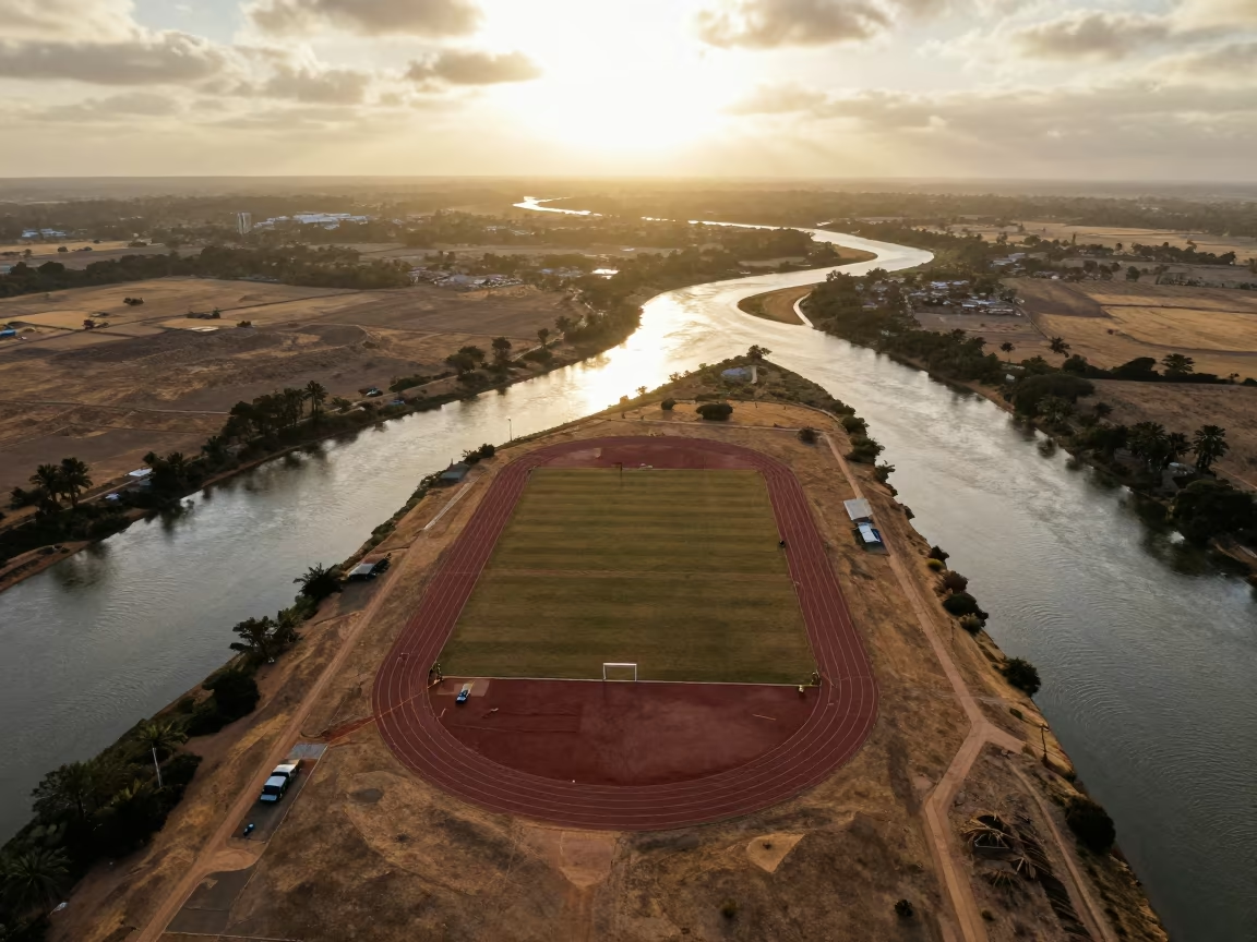
Aerial View of Sports Track Over Braided River
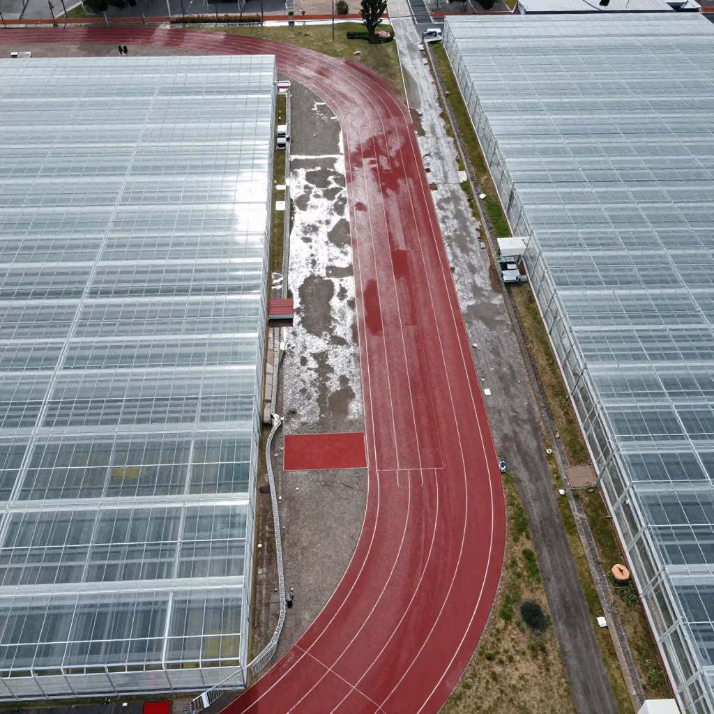
Aerial View of Sports Complex Near Greenhouse Grids
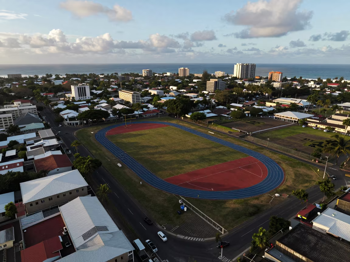
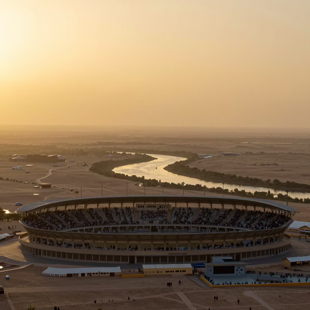
Aerial View of Mauritius Sports Complex Tracks
Sunset aerial view of sports track near Kobe orchards
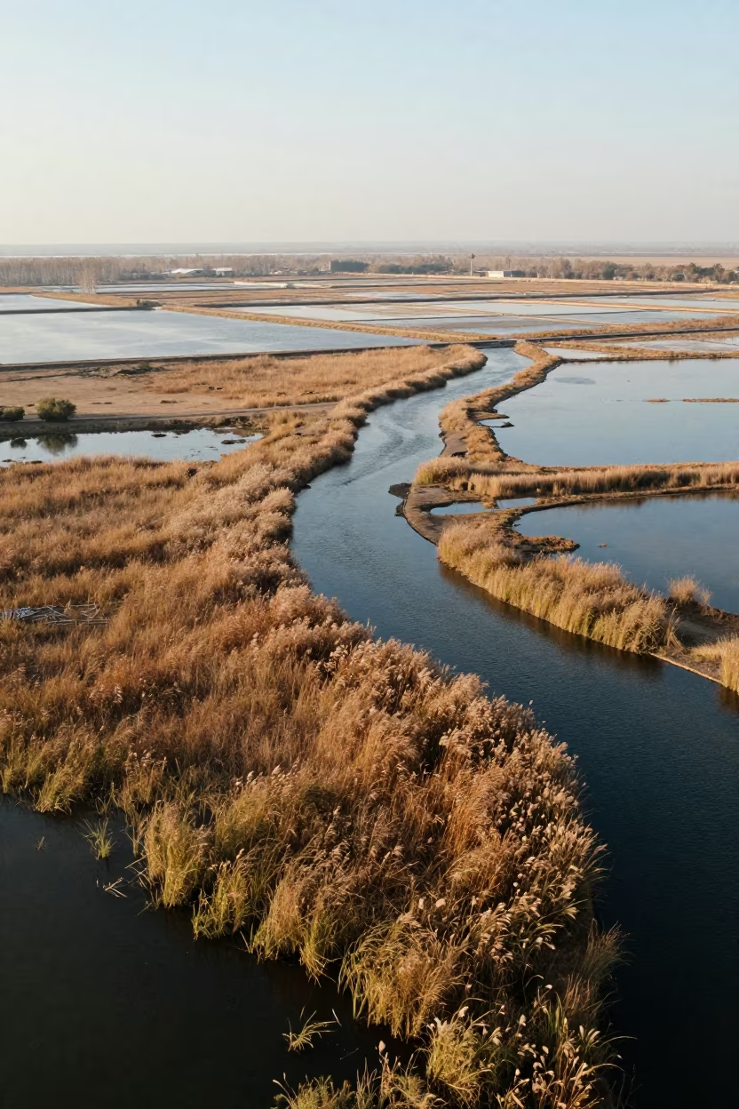
Autumn Salt Ponds and Track Complex Aerial View
Aerial Sports Complex Near Adana Orchards
Aerial view of sports complex near Ningbo river in dawn mist

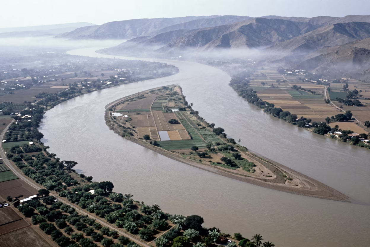
Aerial View of Stadium Over Braided River Channels
Aerial View of Sports Complex Near Braided Rivers
Aerial View of Mali Orchards in Rainy Season
Twilight Aerial View of Sports Complex on Terraced Hills
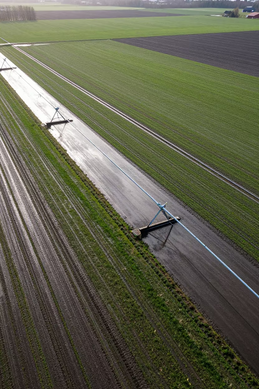
Aerial View of Swedish Irrigation After Rain
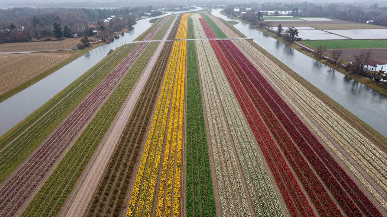
Aerial View of Maryland Flower Fields After Rain
Jade Lagoon Irrigation Geometry Aerial View
Aerial View of Winter Rice Paddies Near Zaragoza
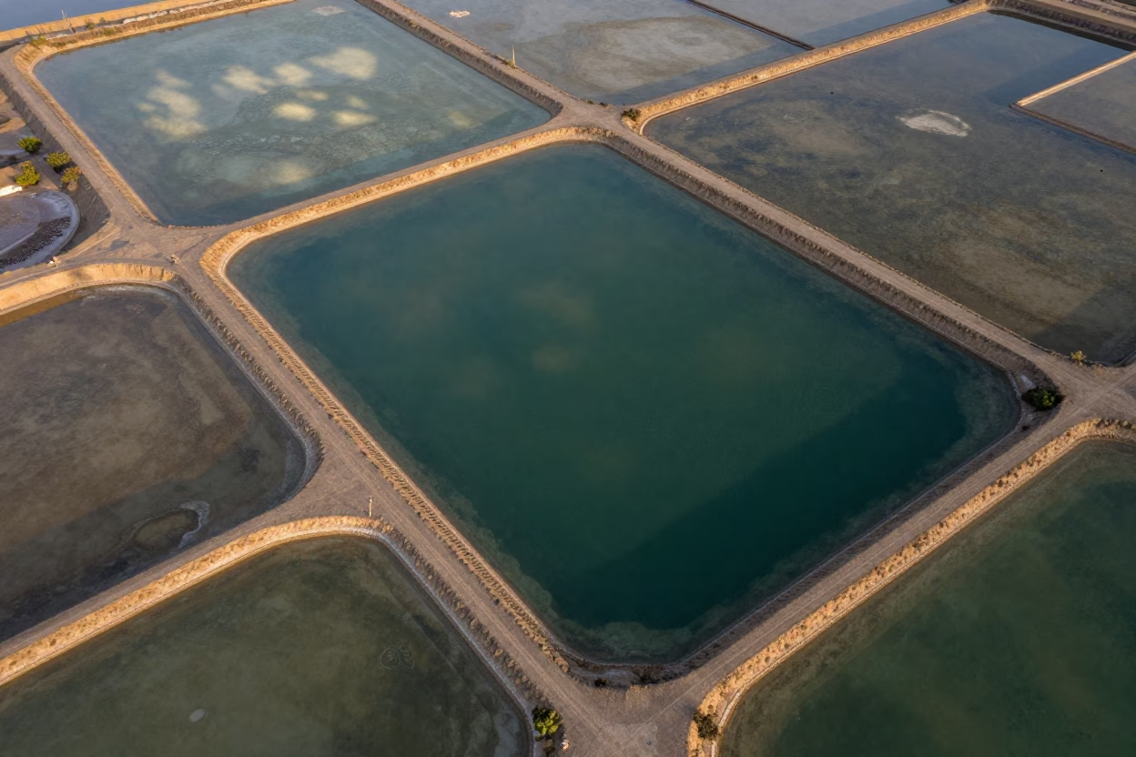
Mali Salt Ponds Aerial Emerald Water Causeways
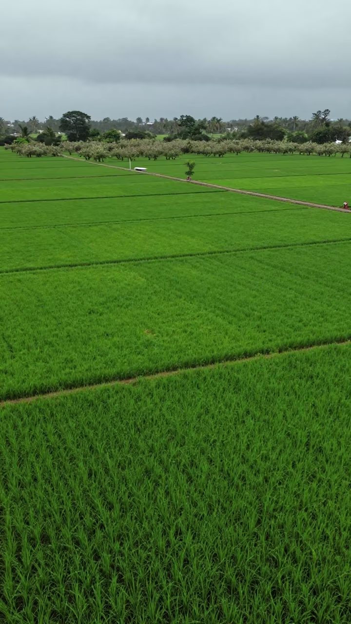
Emerald Rice Paddy Patchwork Aerial View South Sudan
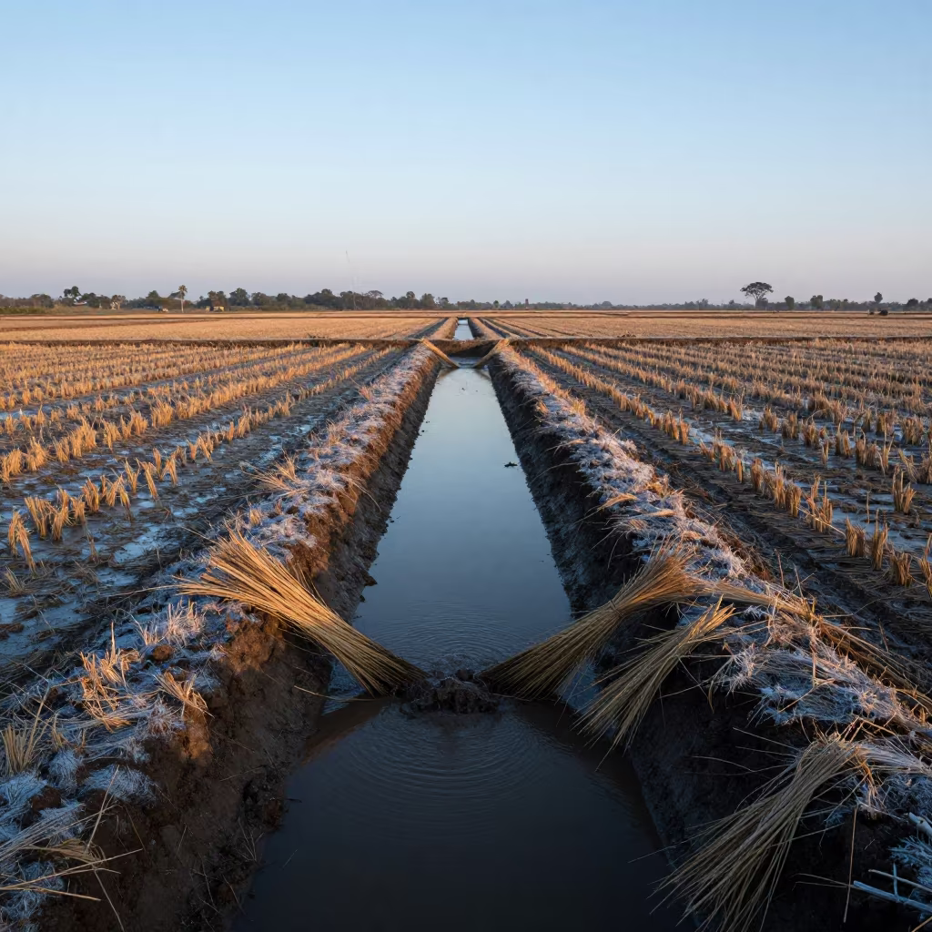
Irrigation Canals Before Sunrise in Tanzanian Rice Fields
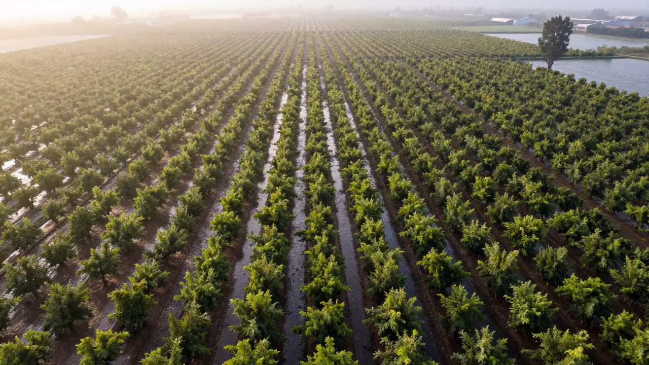
Chilean Orchard Aerial View After Rain
Dawn Shadows Over Irrigation Geometry Stadium
Aerial View of Taiwan Irrigation Canals at Low Tide
Aerial Stadium View Oaxaca Monsoon Afternoon
Drone View Glacial Moraine Autumn Stripes
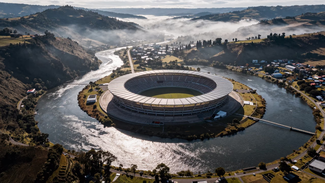
Stadium Aerial View Amid River Meanders
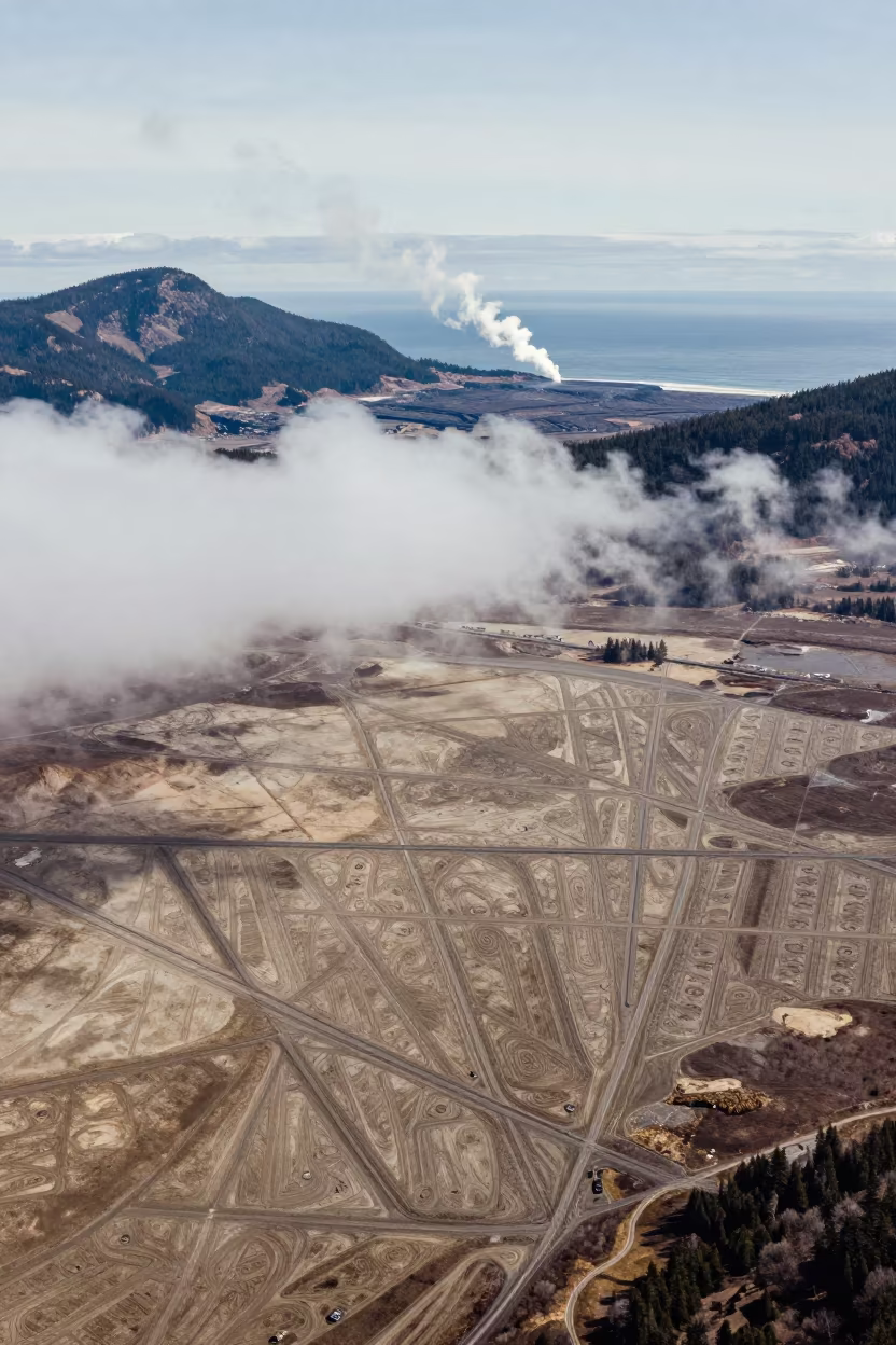
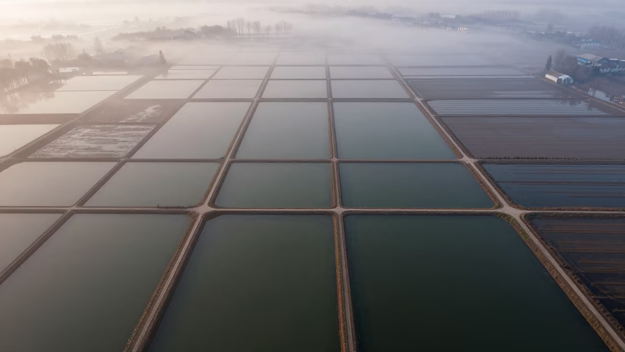
Aerial view of irrigation geometry and steam
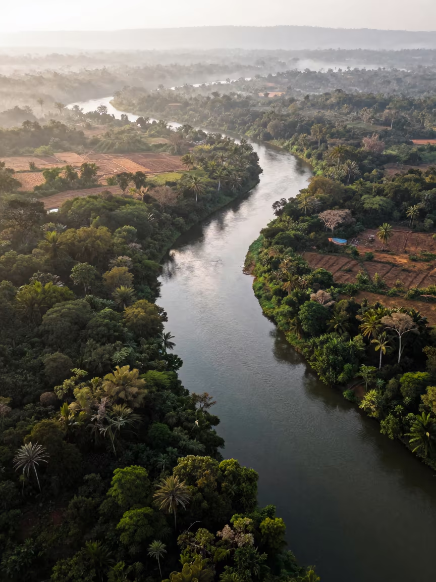
Aerial View of Serpentine River Through Jungle Canopy
Aerial River Islands Eritrea Mist
Silhouetted Stadium Above River Meanders
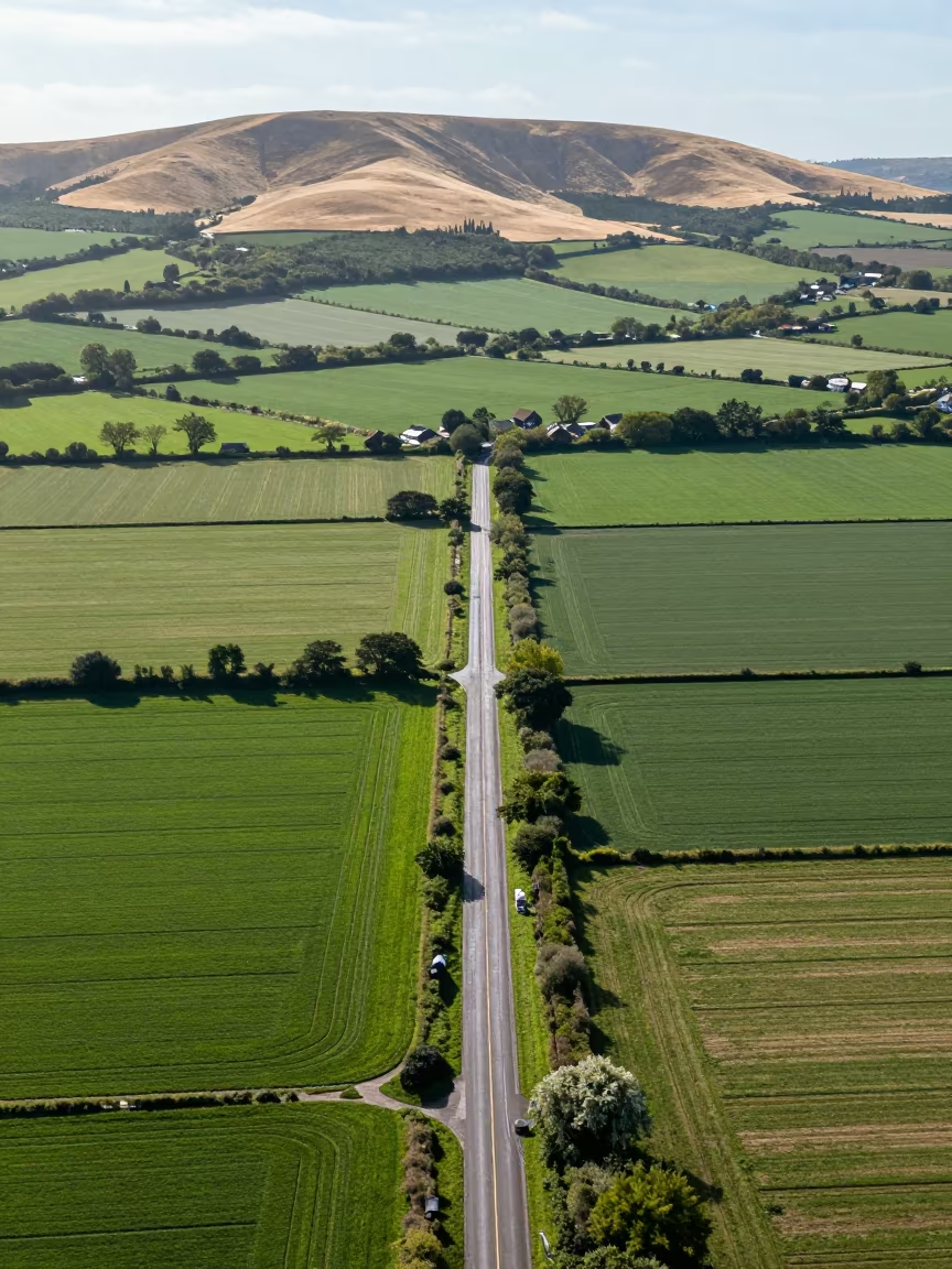
Aerial View of Country Lanes and Irrigation Fields
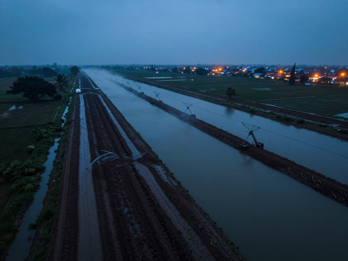
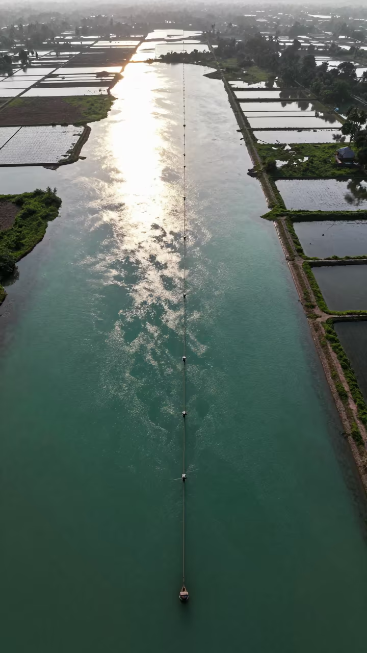
Surabaya Irrigation Canals Blue Hour Drone View
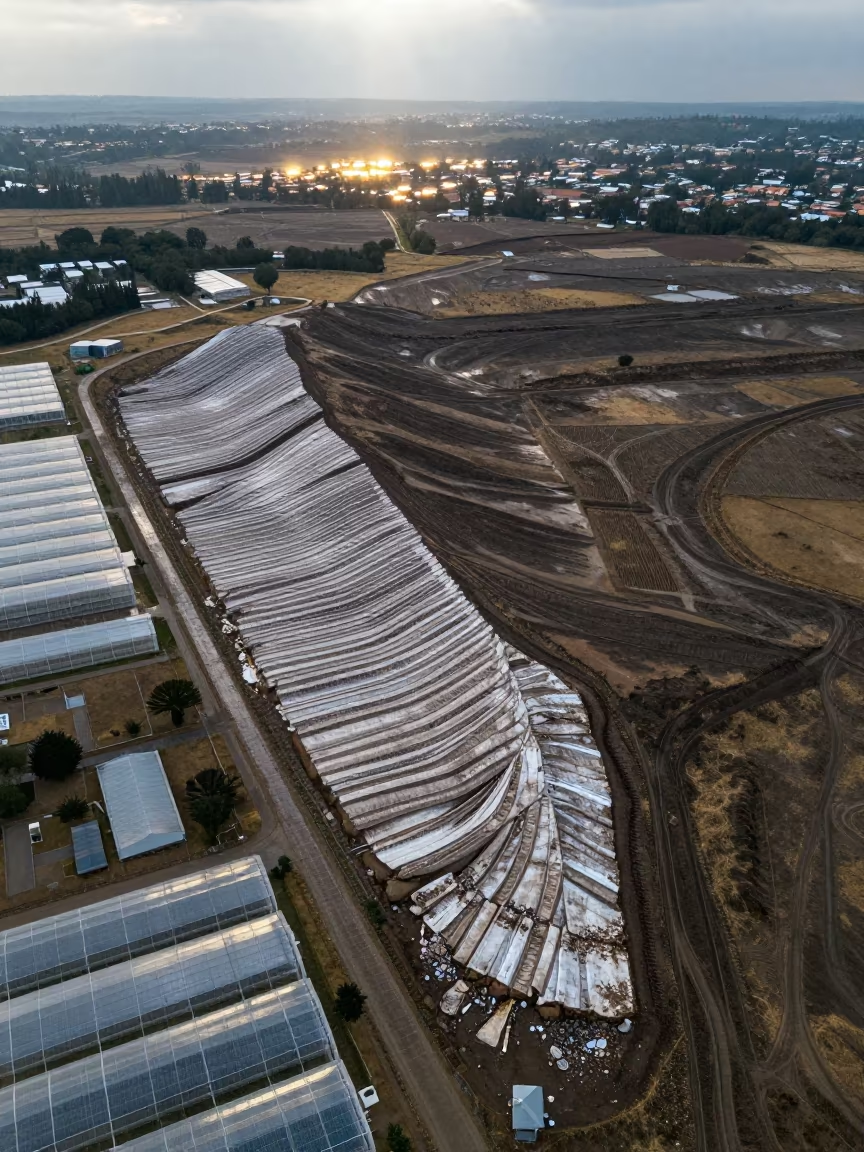
Aerial Glacial Moraine Near Ndola Greenhouses
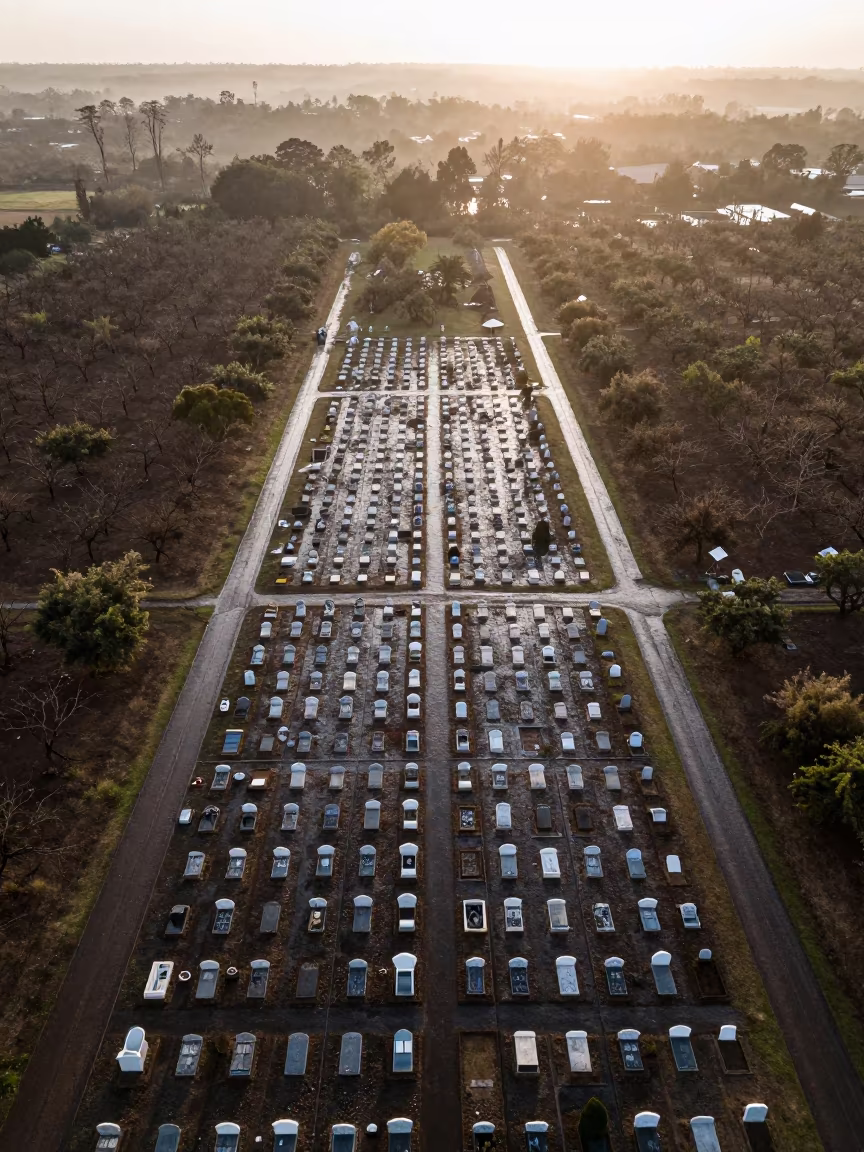
Aerial Cemetery Grid at Dawn in Malawi
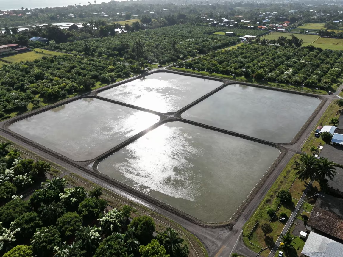
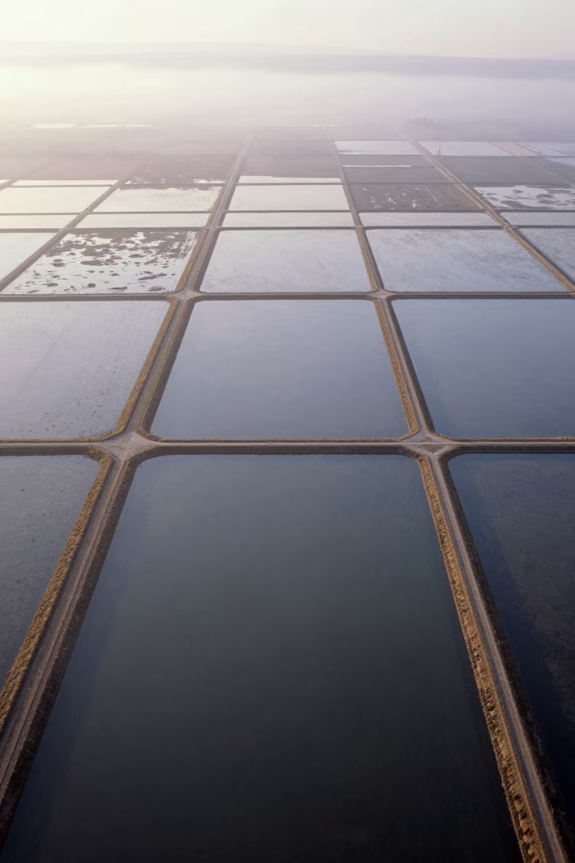
Aerial View of Salt Ponds Nicaragua
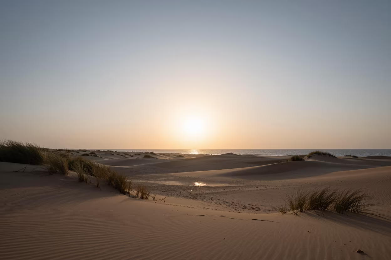
Zimbabwe Barrier Island Dawn Storm Clearing
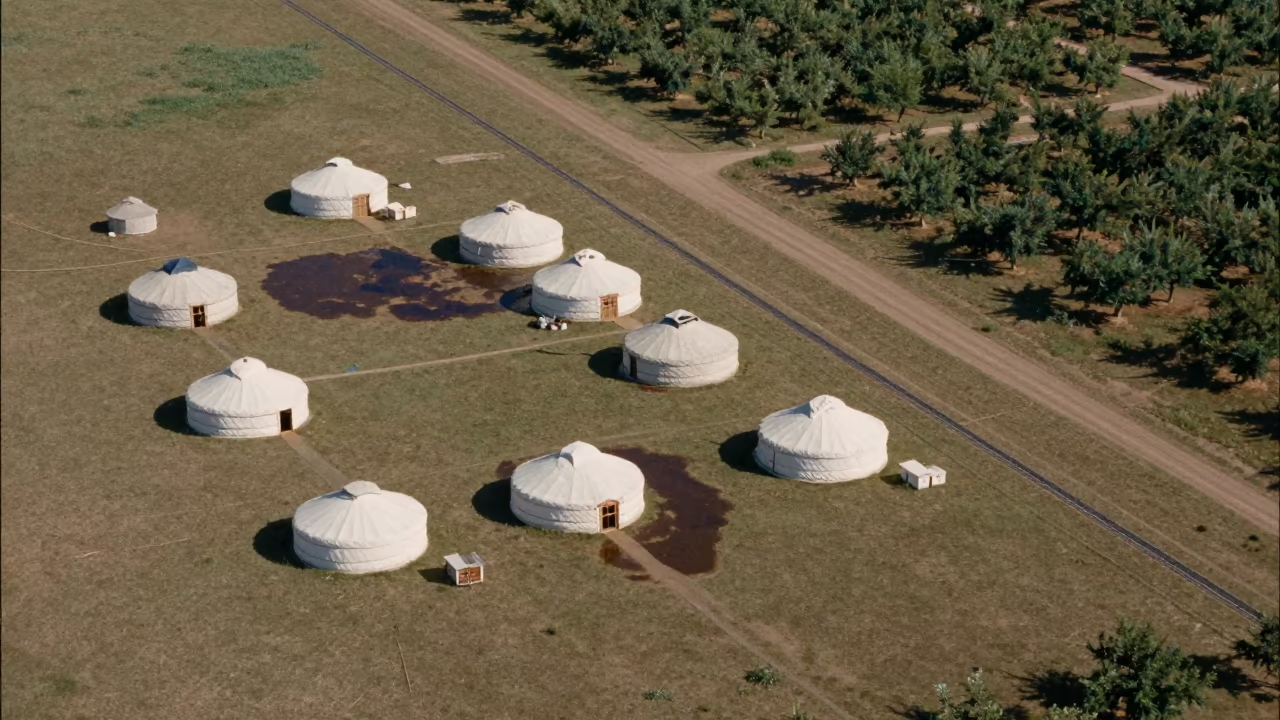
Aerial View of Nomadic Yurts on Grassland
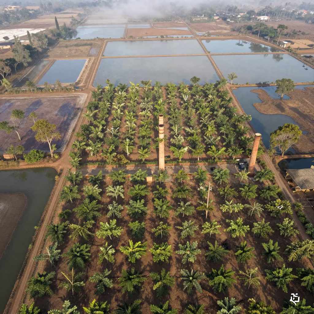
Aerial Orchard Grids Chimney Shadows Rwanda
Aerial View of Hubei Irrigation Fields at Dawn
Comments