
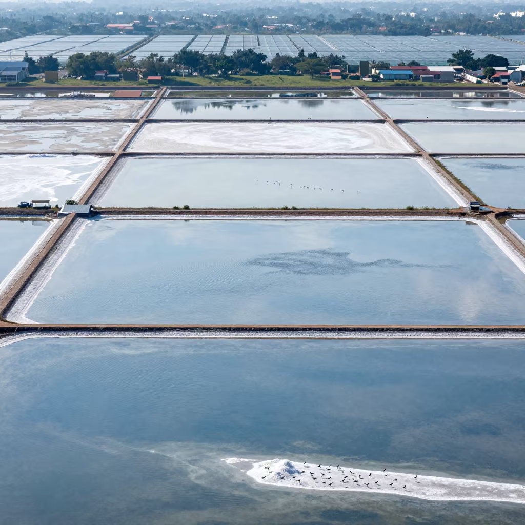
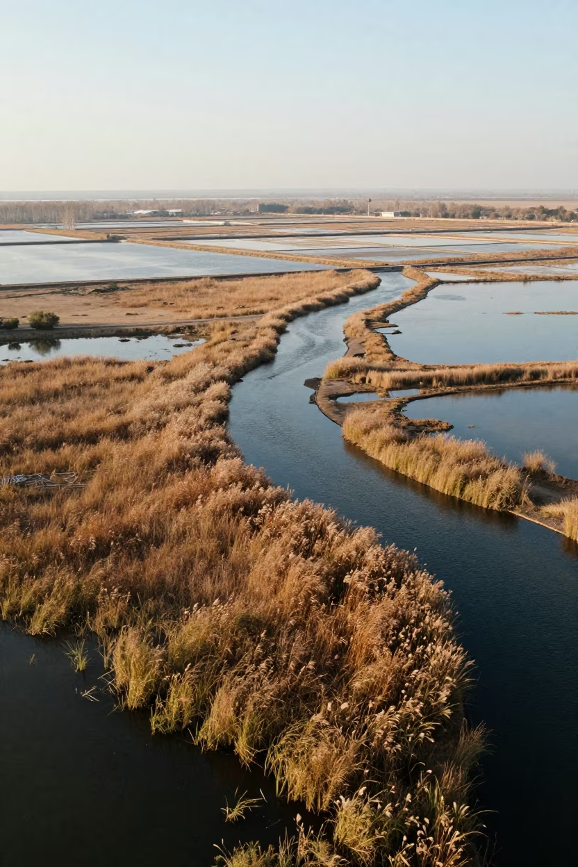
Aerial Wetland View Terni Salt Ponds Noon
by Elio Nolan
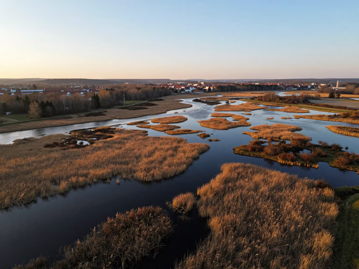
Salt ponds and causeways near Terni unfold beneath a drone hovering high overhead. Flat noon glare reflects off shallow water channels, creating a stark contrast with the darker, meandering paths cut through the landscape. Reeds cluster along the edges, their green and brown stalks marking the turn of seasons. Low clouds drift above, breaking into clear patches that cast shifting dappled light across the wetland surface. The scene organizes into distinct geometric blocks of water and earth, framed with cartographic precision. Shadows from the reeds stretch short and sharp against the wet ground, defining the texture of the marsh floor where water meets soil.
Free to download. CDN hosting requires a link back to this page. Terms
Similar Images
Drone Over Salt Ponds Golden Hour Torreón
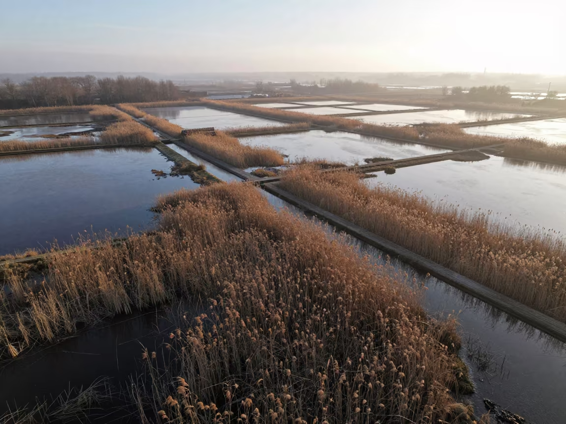
Golden Hour Aerial Wetland Saxony Reeds
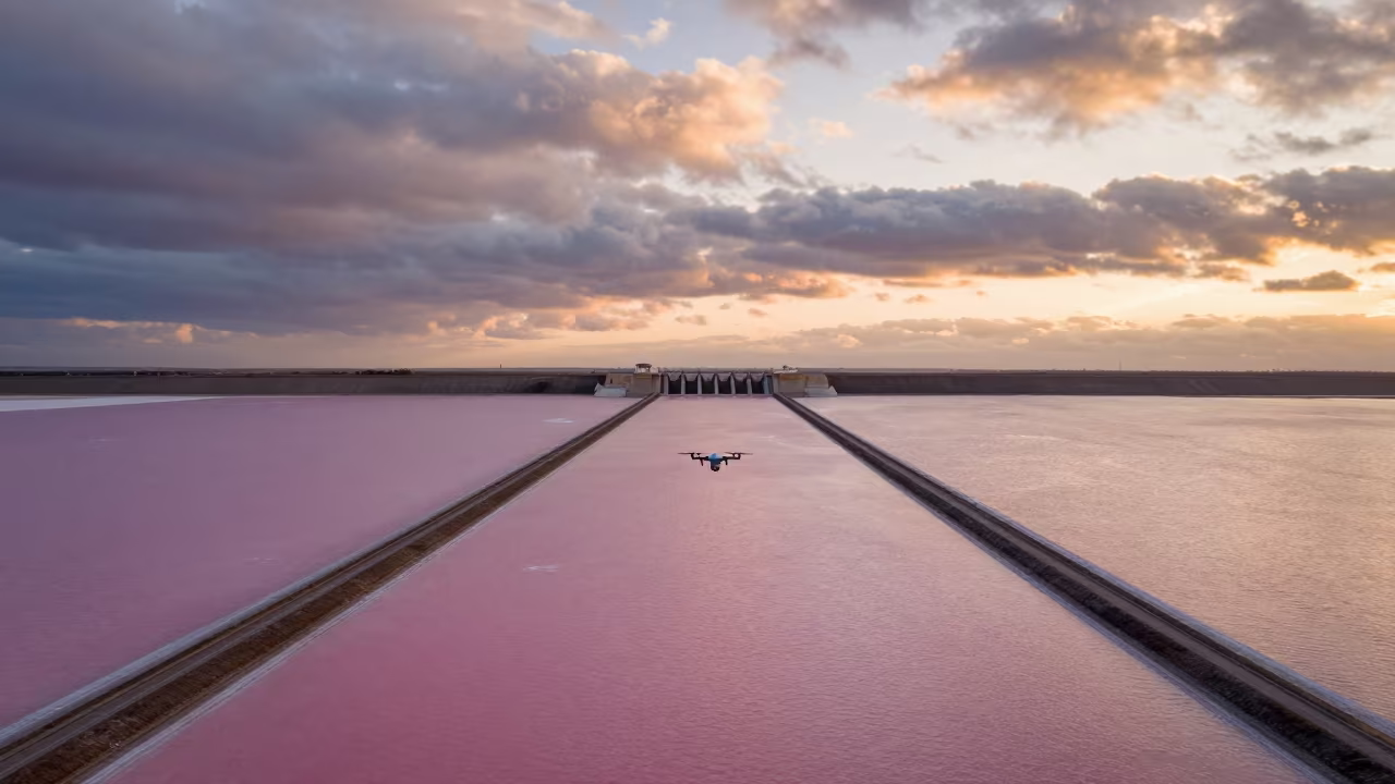
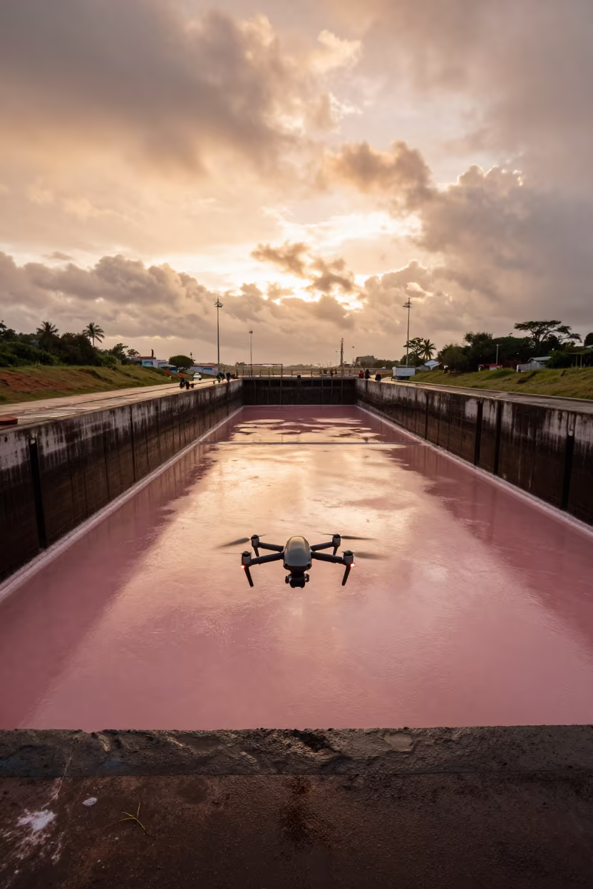
Drone Over Salt Ponds Near Dam Spillway
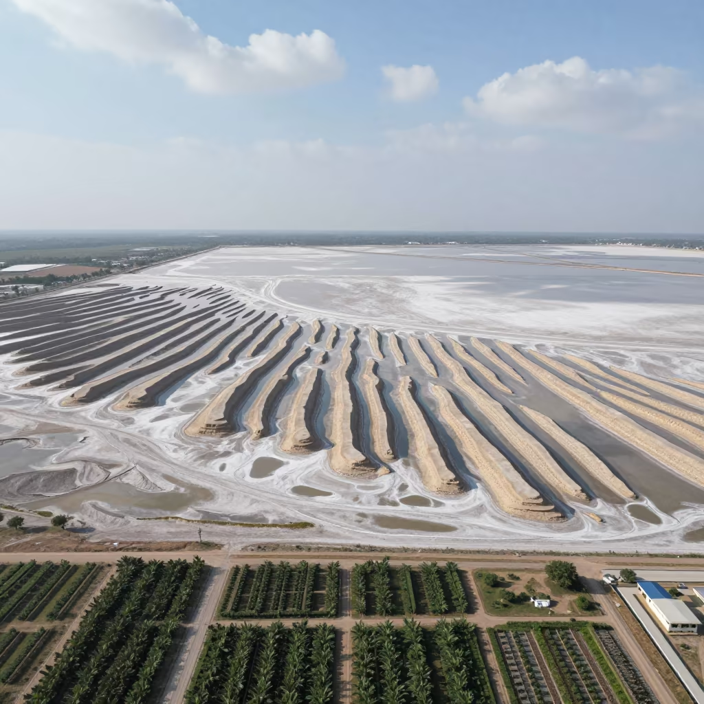
Aerial Peat Bog and Salt Ponds Tianjin Midsummer
Aerial Salt Ponds Greenhouse District 3
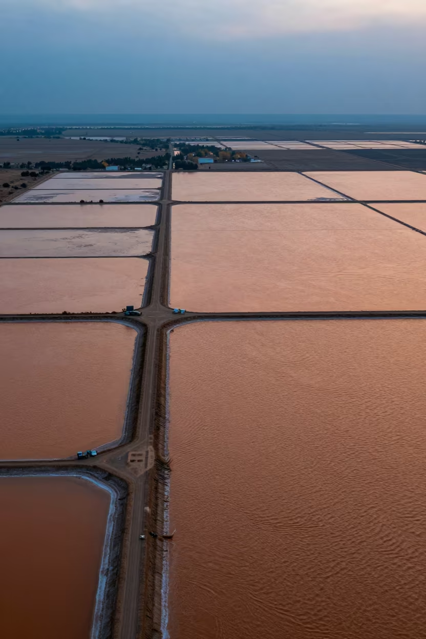
Drone Over Pink Salt Ponds New Mexico
Drone Over Salt Ponds Before Dusk
Winter Salt Ponds Leeds Drone View
Copper Light Over Qamishli Salt Ponds
Aerial Morocco Sand Dunes Noon Shadows
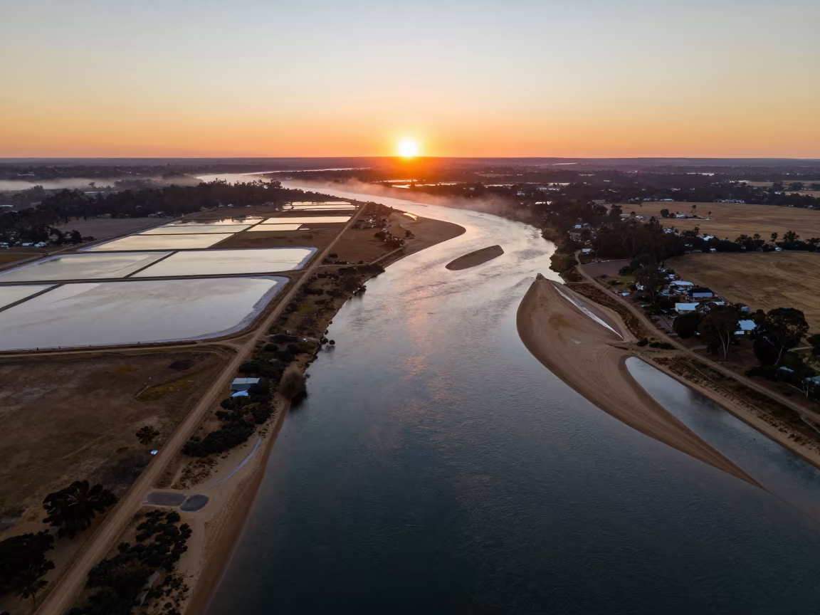
Aerial Sunset Over Salt Ponds and River Islands
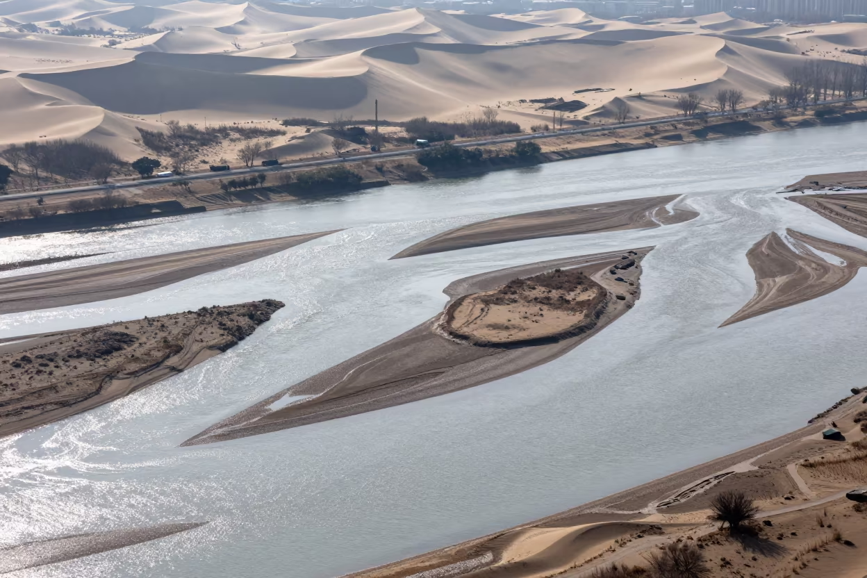
Aerial River Islands Braided Through Silver Floodwater
Aerial Wetland Channels Near Jalalabad
Twilight Reflection of Forest in Salt Ponds
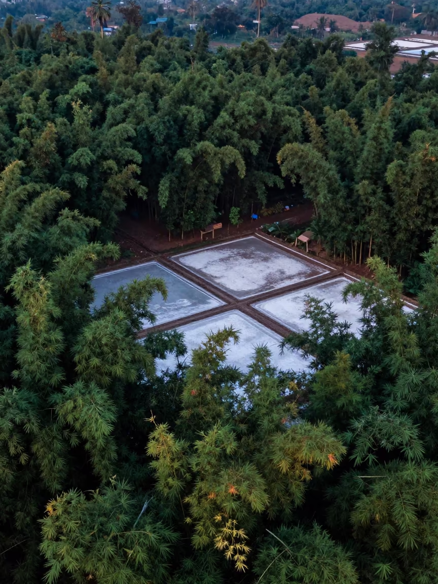
Drone View Bamboo Forest Vietnam Rainy Season
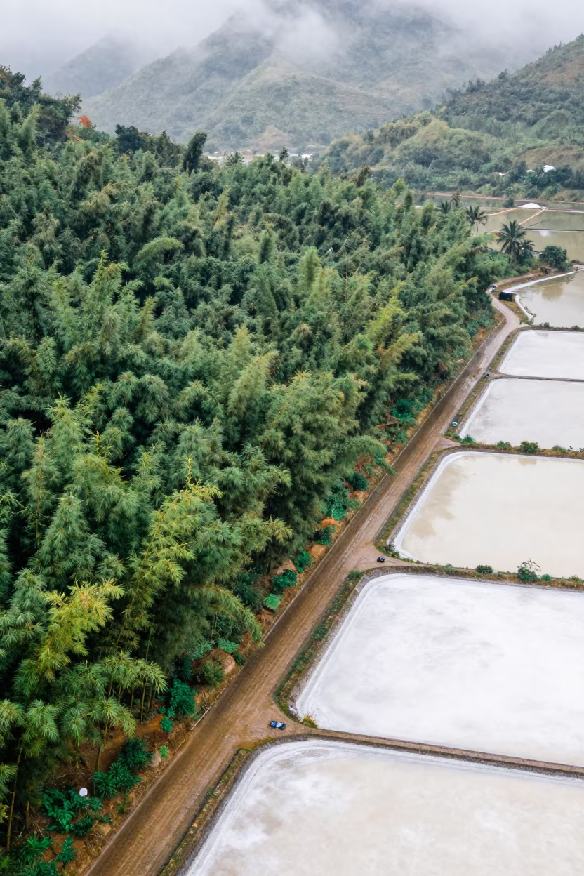
Aerial View of Bamboo Forest Above Salt Ponds

Aerial View of Wind Turbines Over Salt Ponds
Aerial View of Geometric Landfill Cells Near Salt Ponds
Aerial Flower Bands Over Salt Ponds at Blue Hour
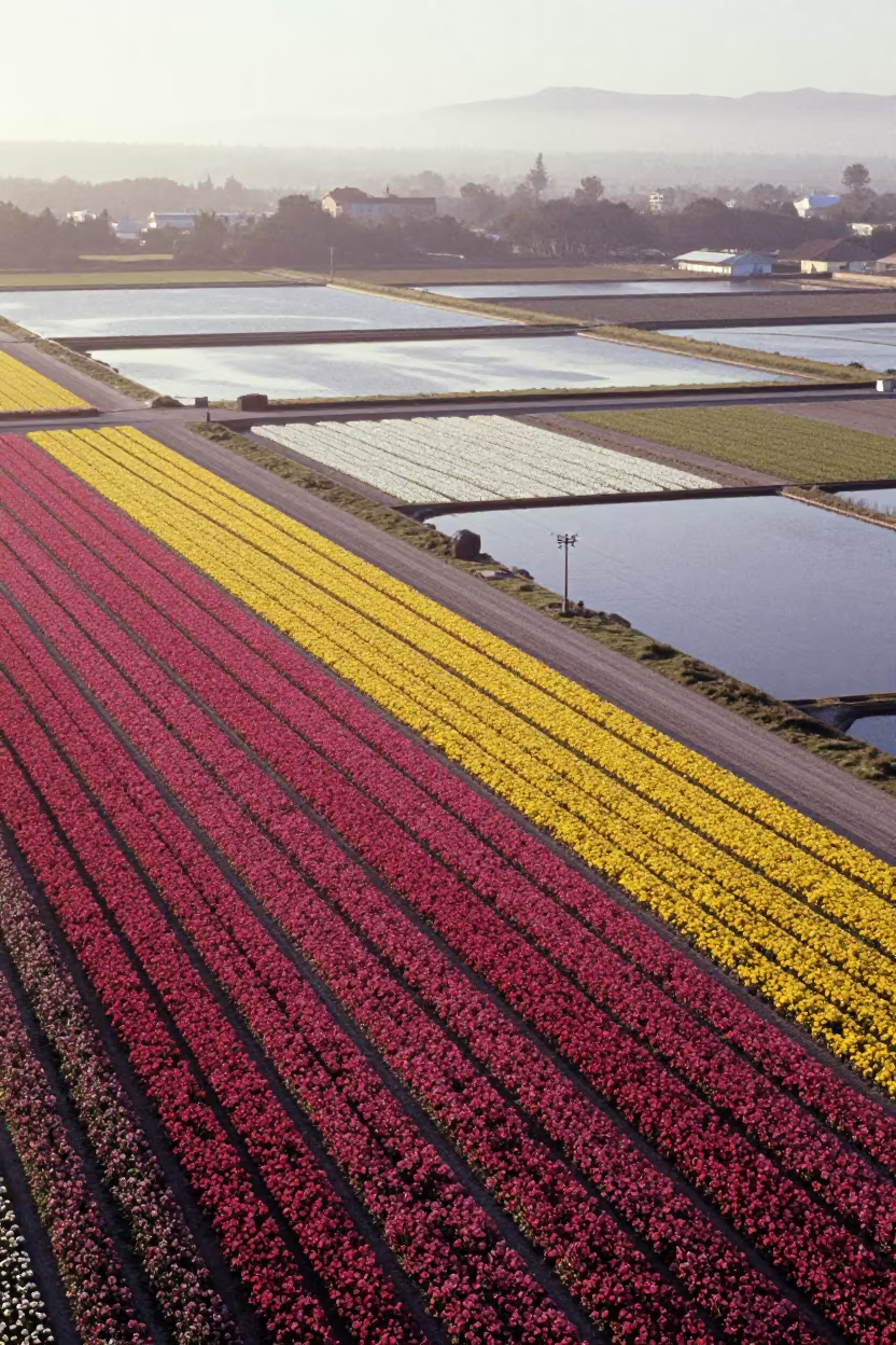
Aerial Salt Ponds and Orchard Grids at Golden Hour
Aerial Tidal Creeks San Luis Haze
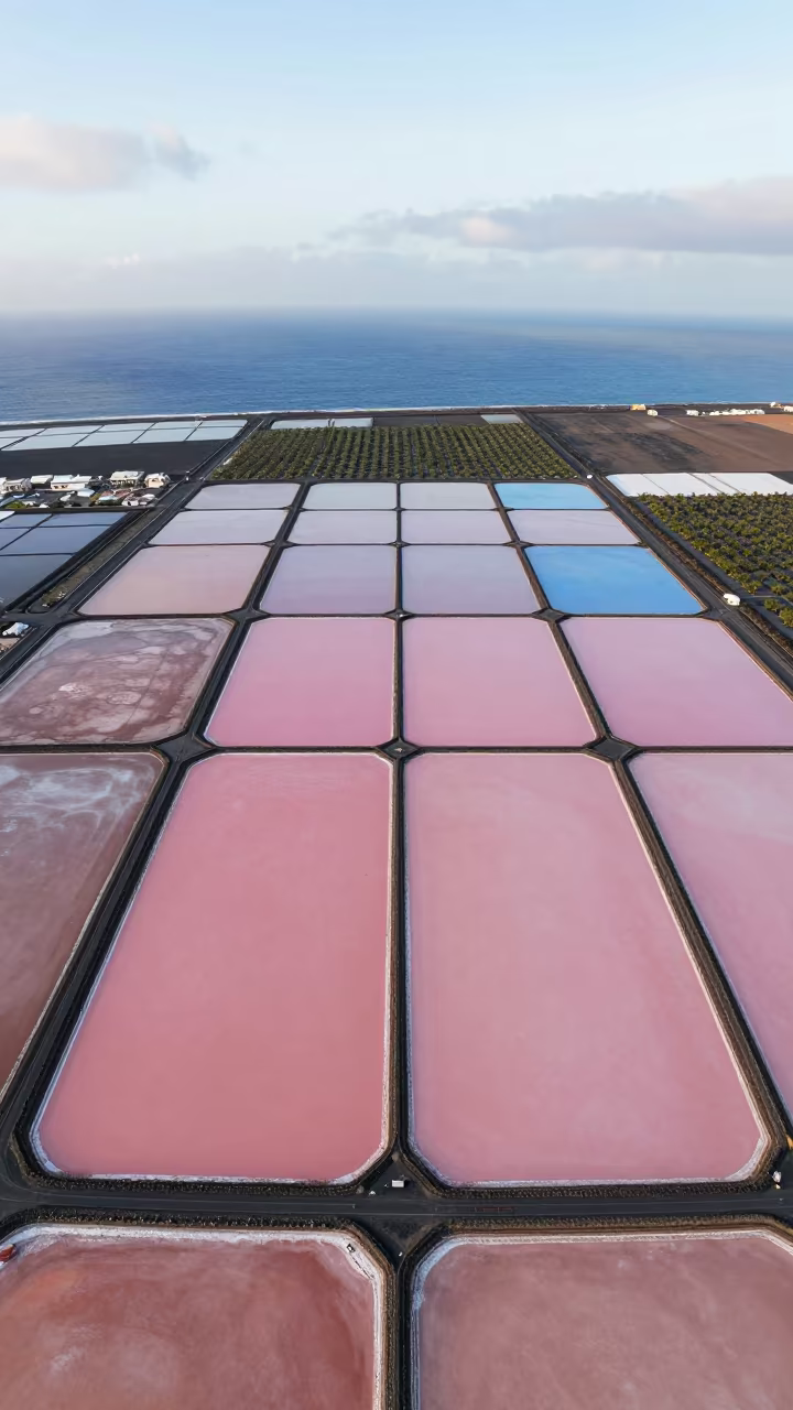
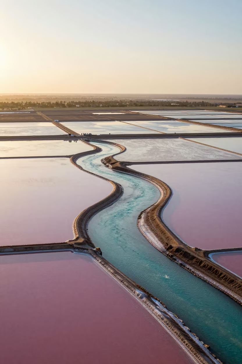
Pink and Blue Salt Ponds Aerial View
Wind Sculpted Yardangs Aerial Salt Flat View
Aerial Flower Fields Near Montevideo Salt Ponds
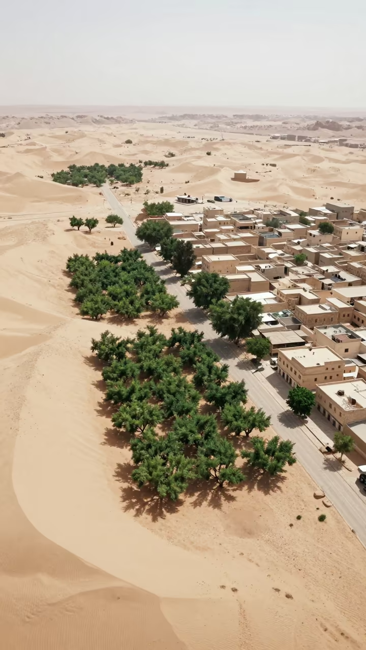
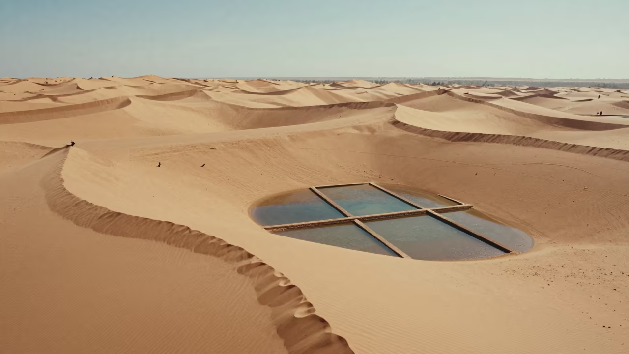
Aerial Oasis Town Amidst Dunes and Irrigation Lines
Dubai Greenhouse Roofs Desert Irrigation Ponds Aerial View
Amber Sunset Drone Pass Over Dalmatian Houseboats
Irrigation Canals Silhouetted in Late Afternoon Light
Aerial View Burned Forest Regrowth Vermont Salt Ponds
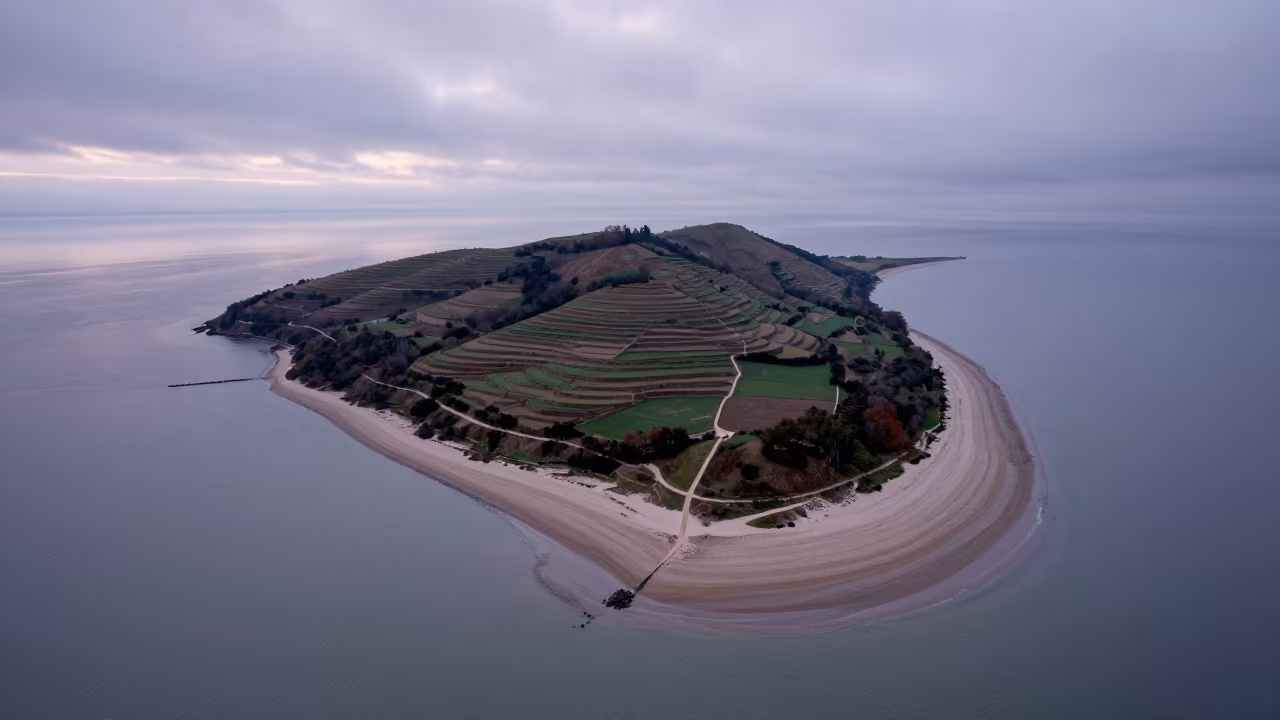
Aerial View of Tidal Island Sand Causeway at Dawn
Pink and Turquoise Salt Ponds Aerial View Kuwait
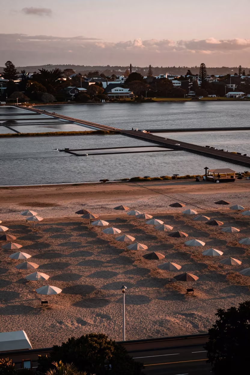
Aerial Beach Umbrellas Over Auckland Salt Ponds

Winter Dawn Creek Over Salt Ponds Scottish Isles
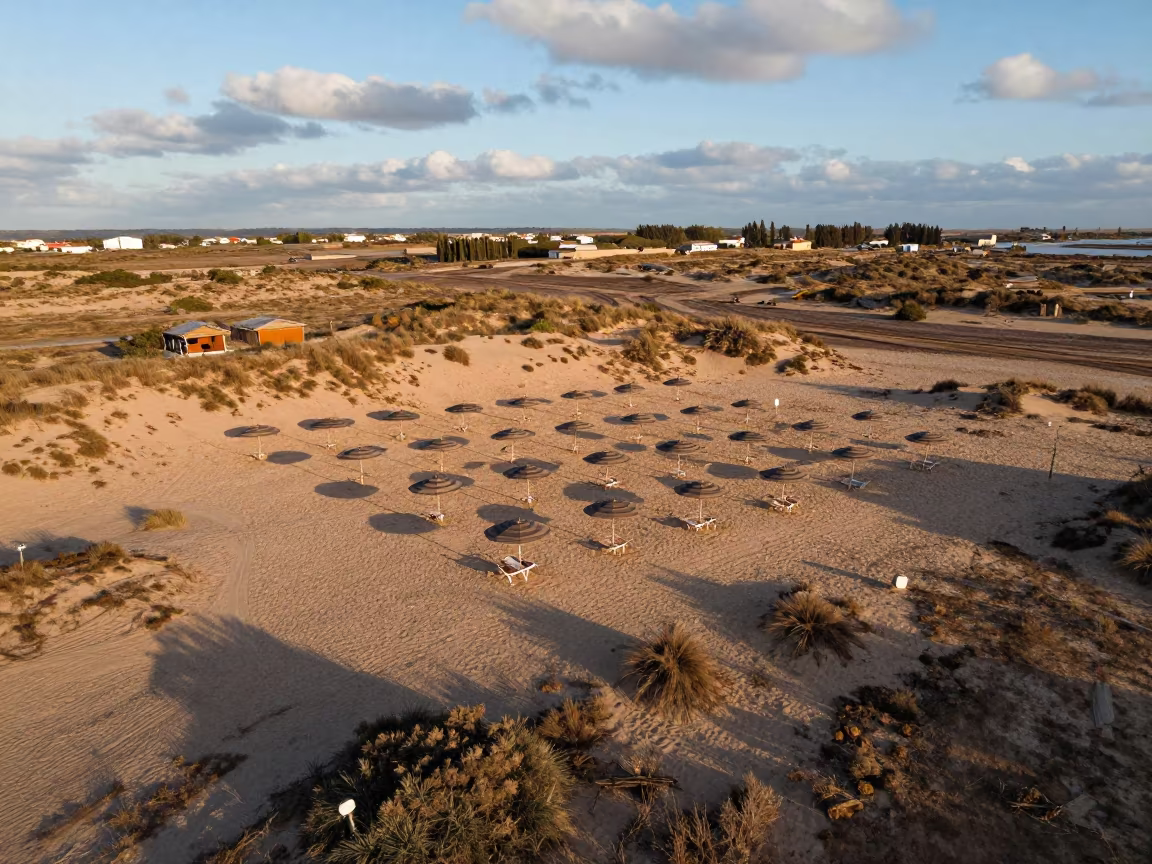
Spanish Dunes Aerial View Beach Umbrellas Sunrise

Namibian Salt Ponds Sunrise Aerial View
Aerial Dawn River Through Forest Canopy UAE
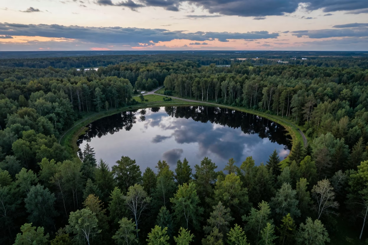
Aerial View of Forest Lake Amidst Conifers
Dawn Mangrove Channels Aerial View Near Jakarta
Comments