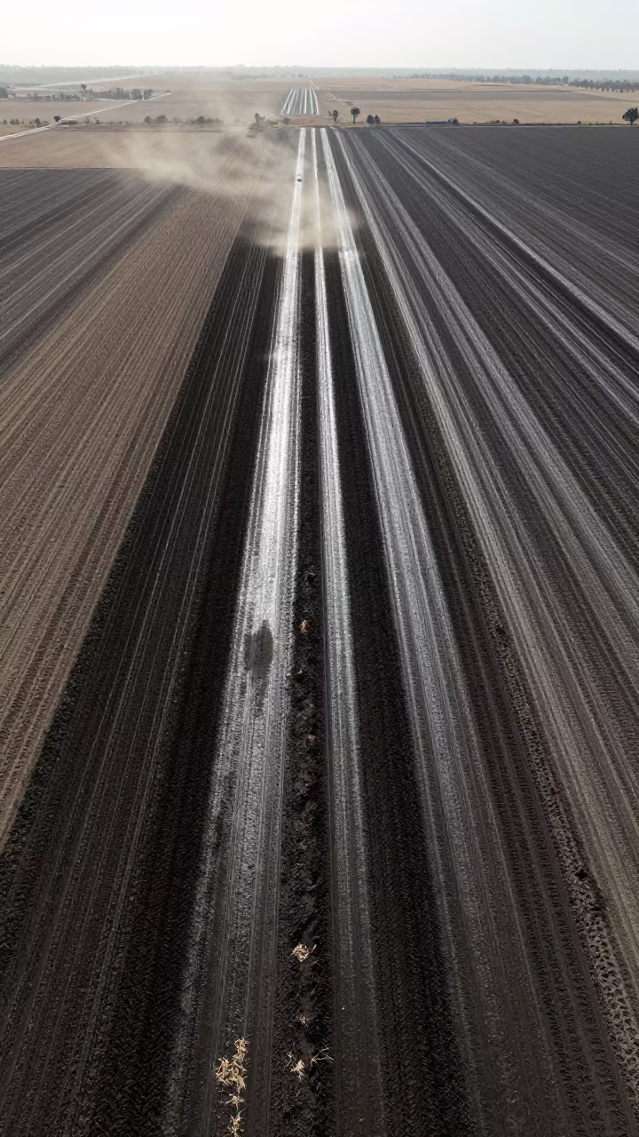
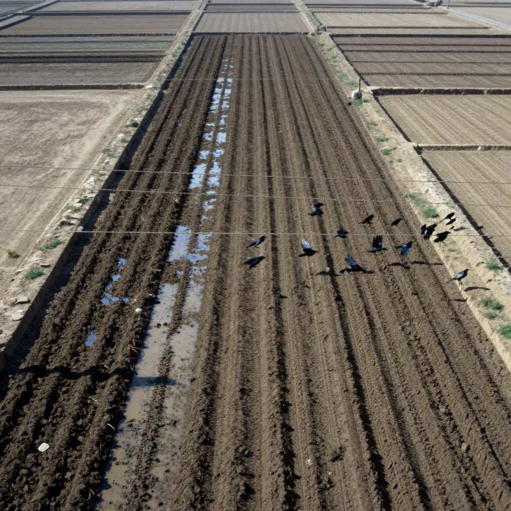
Aerial View of Irrigated Furrows Near Omdurman
Dark, parallel furrows stretch across the frame in rhythmic succession, carved into earth that glistens with recent irrigation. The flat noon glare bounces off the wet soil, creating a sharp, high-contrast pattern of deep shadows and bright highlights. Fine particles of chaff and dust hang suspended in the air, catching the light as they drift above the ridges. The soil texture appears coarse and granular, with the water creating a sheen that deepens the brown tones to near black. Along the edges of the rows, dry clods of earth sit adjacent to the slick, dark channels. The composition divides the frame into thirds, showing the geometric precision of the plowed land against the vast, empty sky.
Free to download. CDN hosting requires a link back to this page. Terms
Similar Images

Aerial View of Flower Fields in Iraq
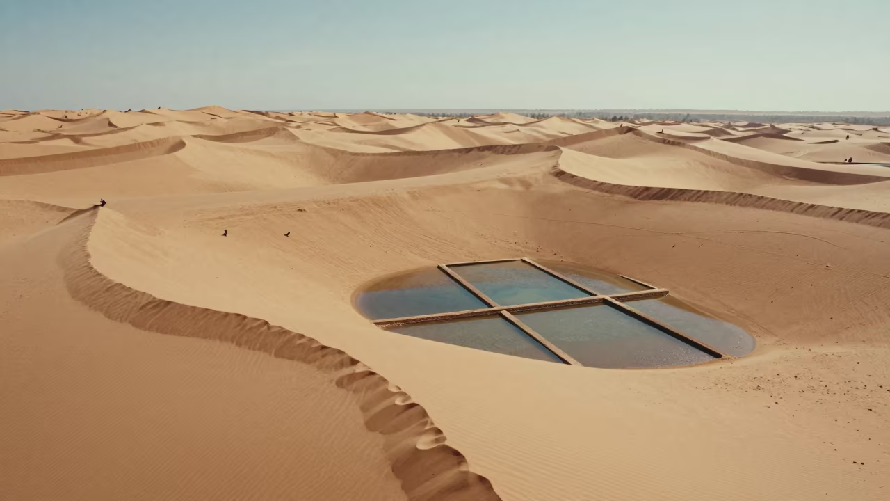
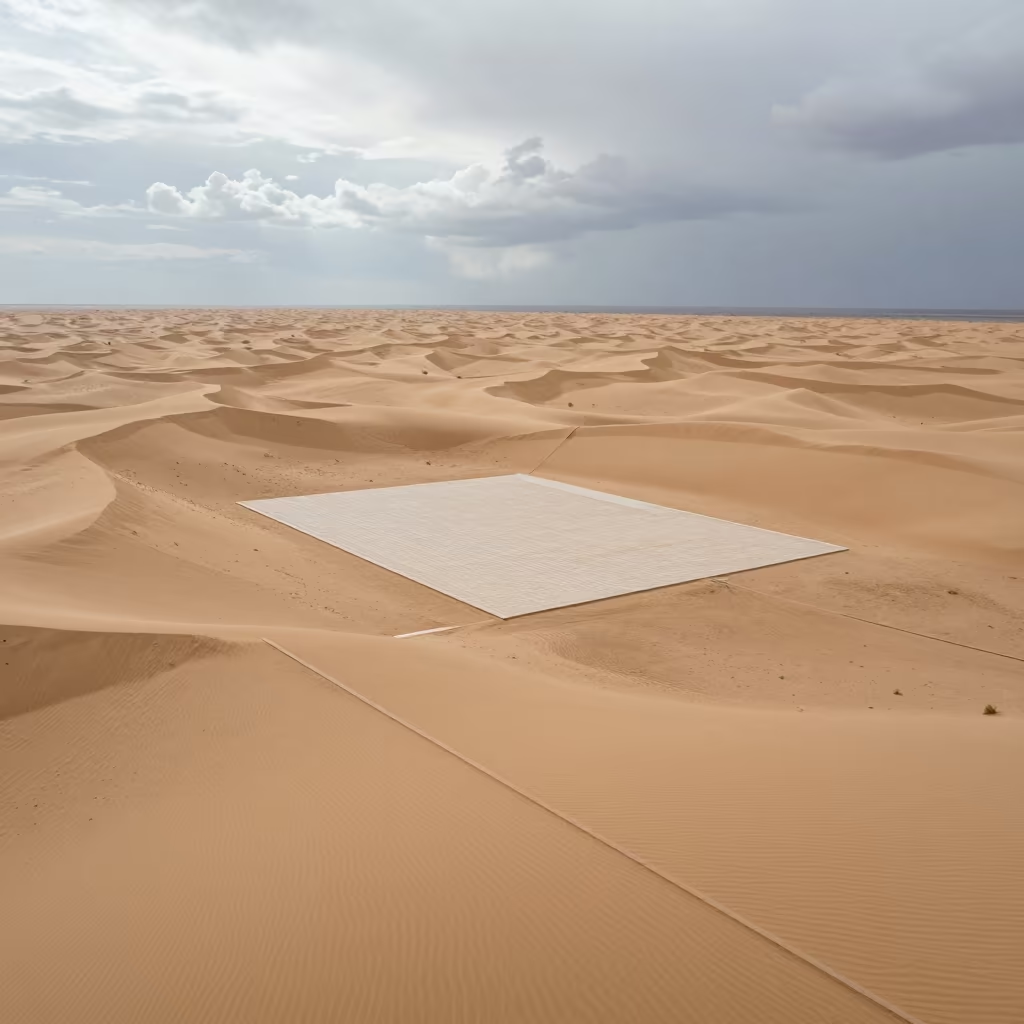
Aerial Morocco Sand Dunes Noon Shadows
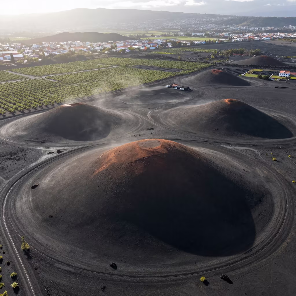
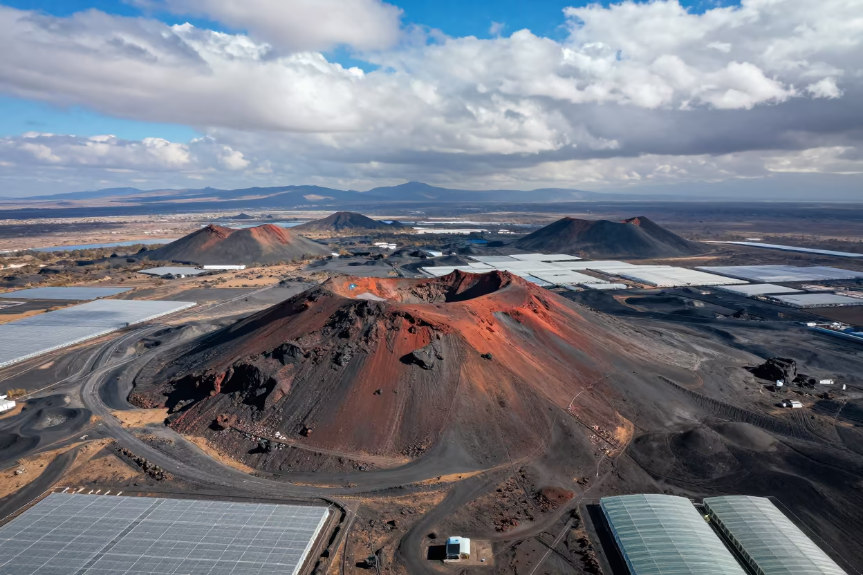
Aerial View of Volcanic Cones Near Medellín
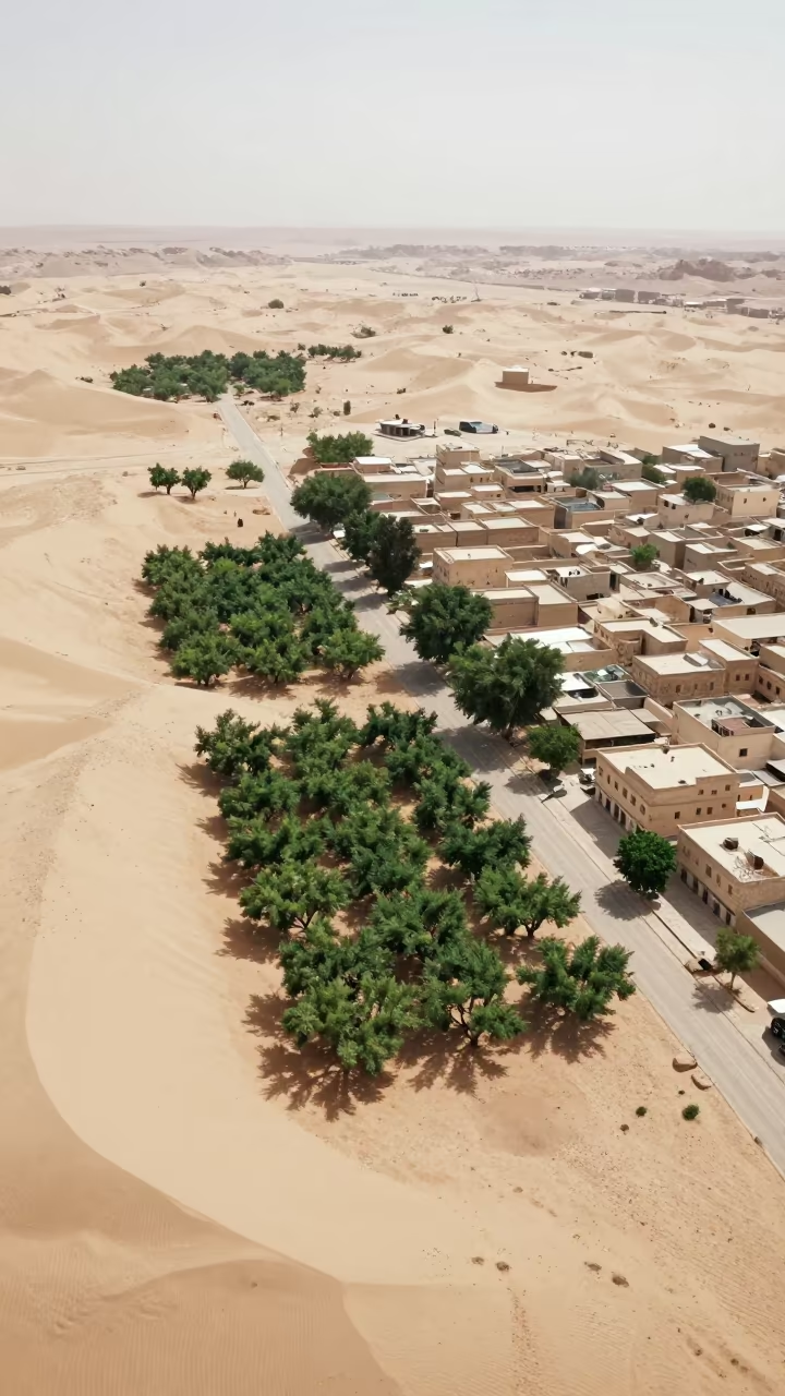
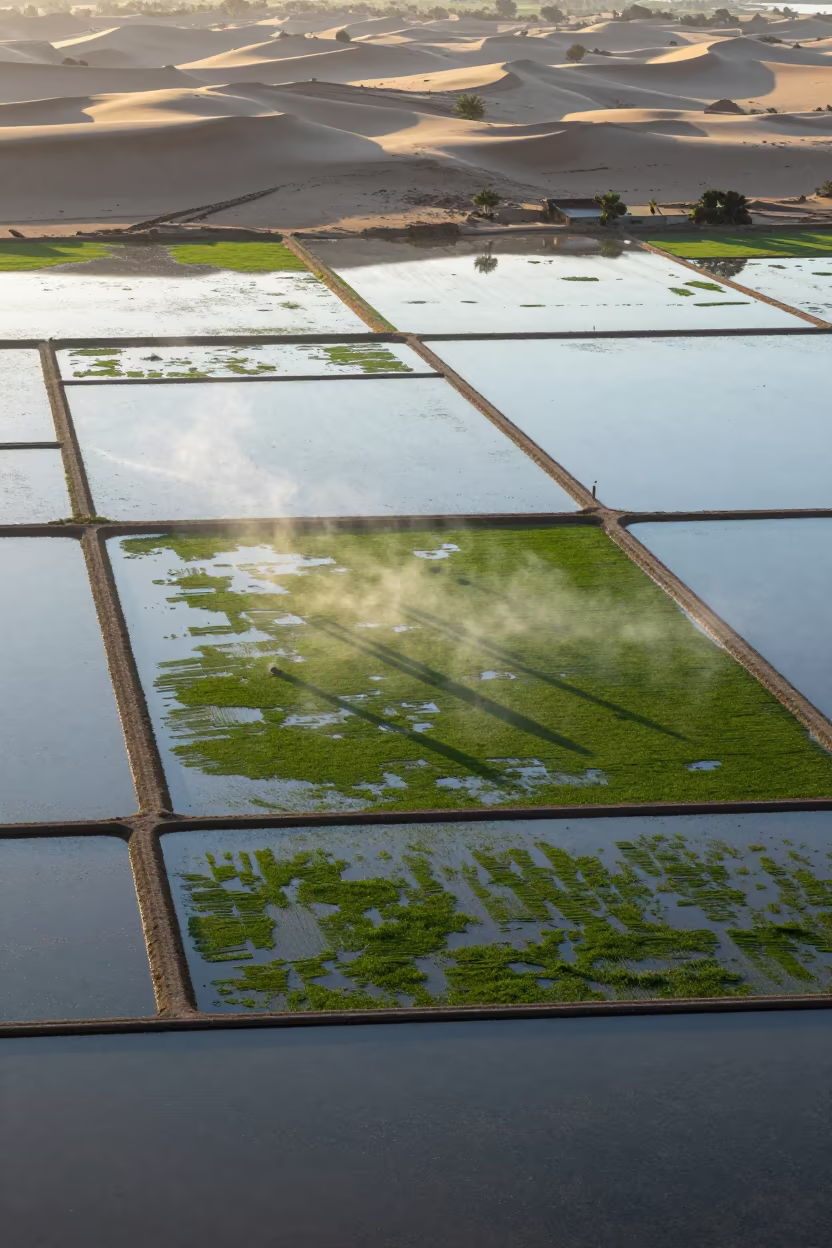
Aerial Oasis Town Amidst Dunes and Irrigation Lines
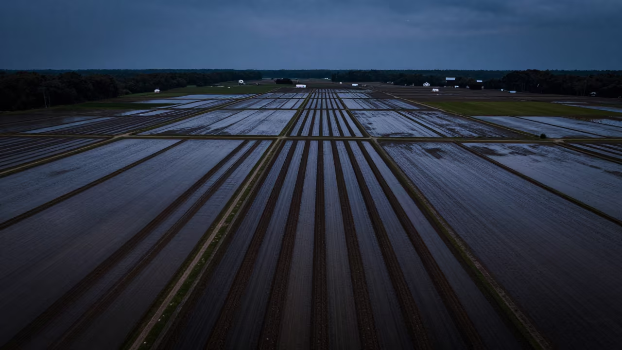
Drone View of Plowed Earth Furrows Night
Aerial Desert Tracks Evening Shadows Saudi Arabia
Aerial View of Desert Cinder Cones and Salt Ponds
Aerial Sand Dunes Over Muscat Orchards
Dawn Furrows in Alabama Rice Paddies
Aerial Orchard Grids at Dutse Dawn
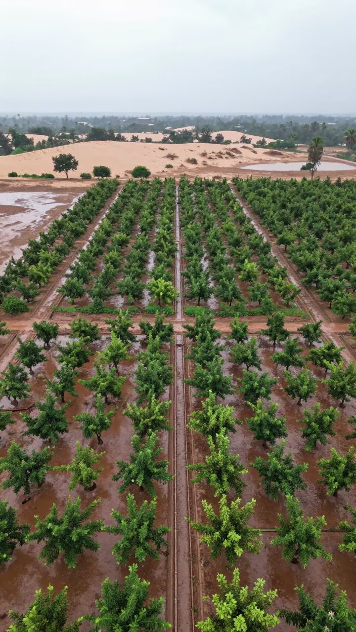
Aerial Orchard Grids Beside Dunes
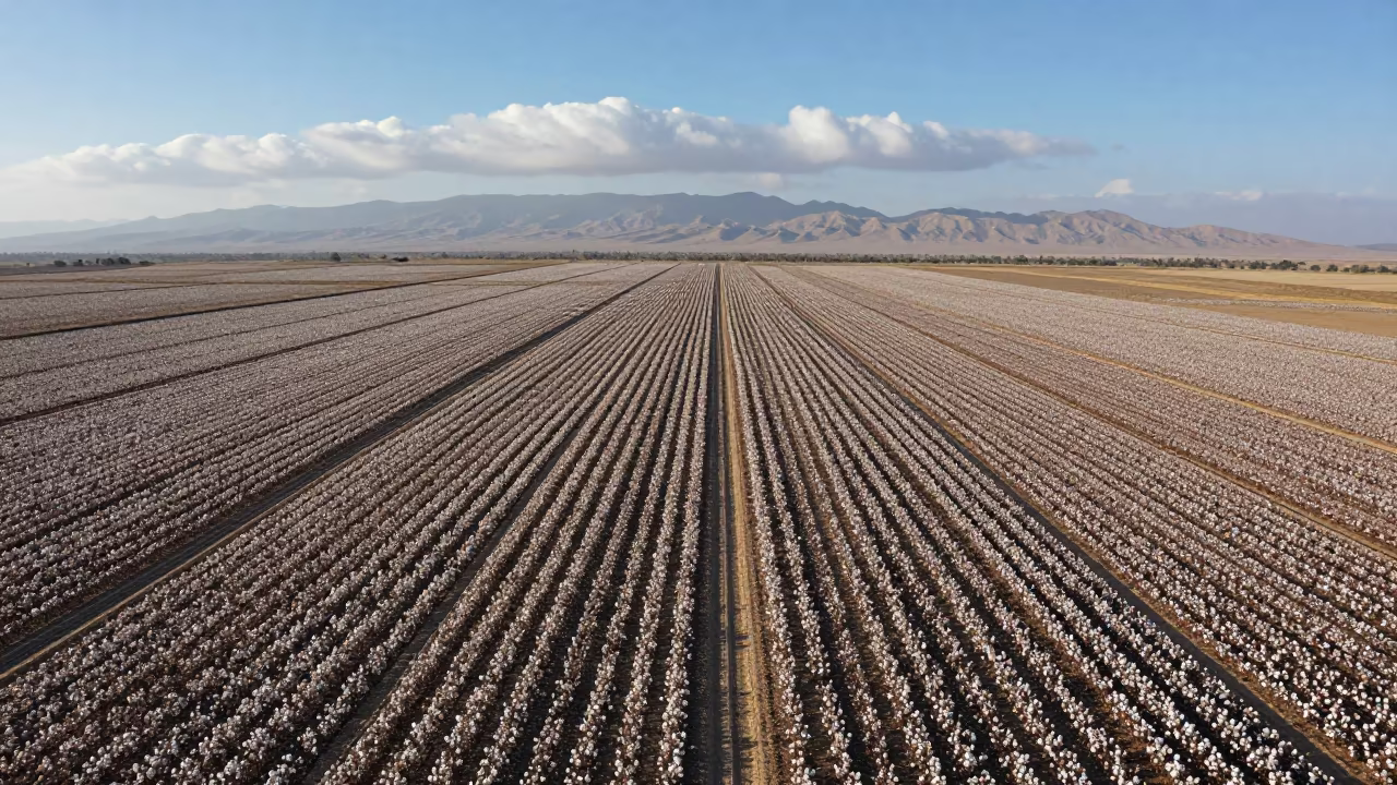
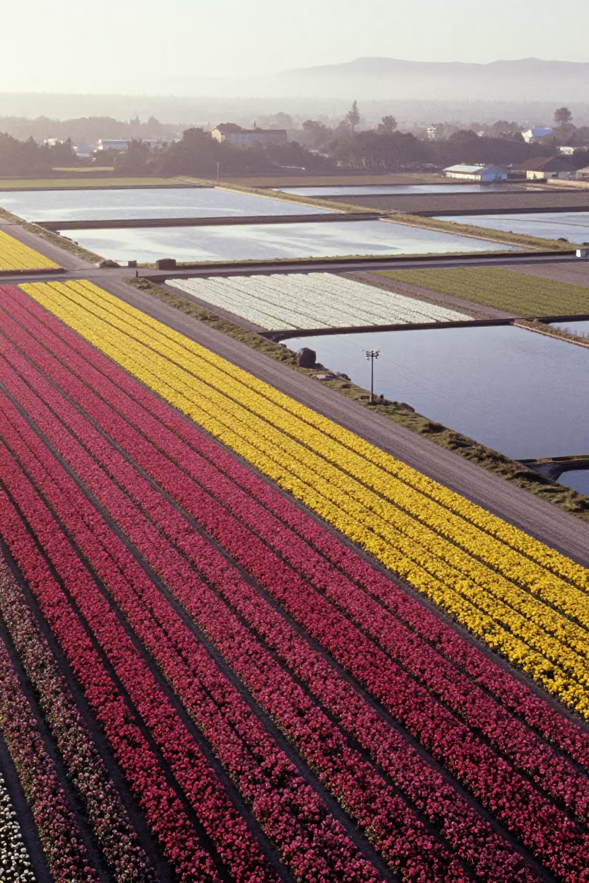
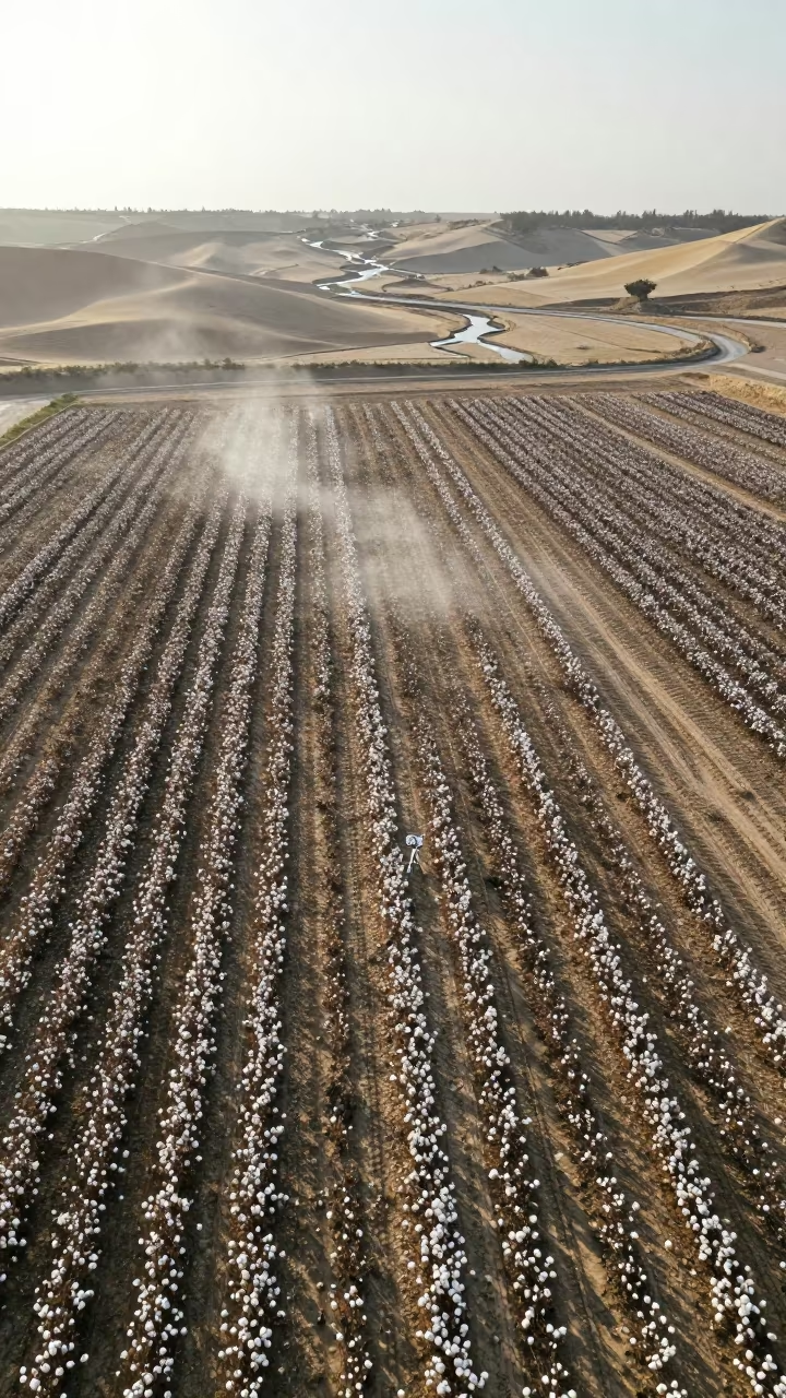
Aerial View of Cotton Fields Near Ramadi

Aerial Flower Bands Over Salt Ponds at Blue Hour
Aerial View of Plowed Field Under Crows Near Giza
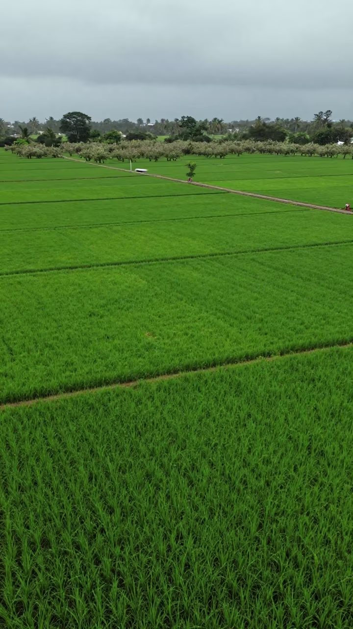
Bird's Eye View Flooded Rice Terraces Philippines
Aerial Grid of Palm Oil Plantation Rows
Aerial View of Forest Lake Amidst Conifers
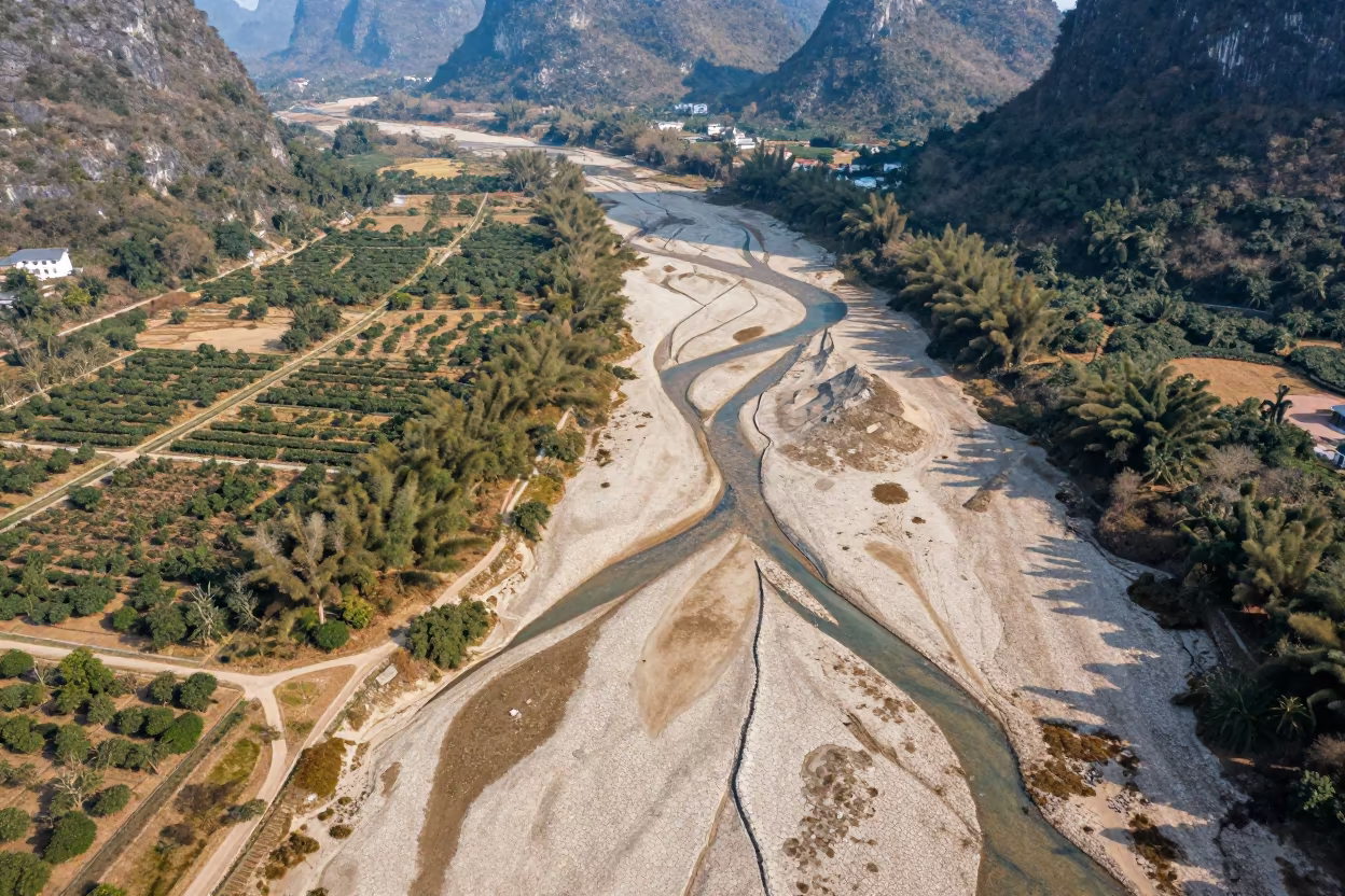
Dry River Veins Branching Over Guilin Orchards
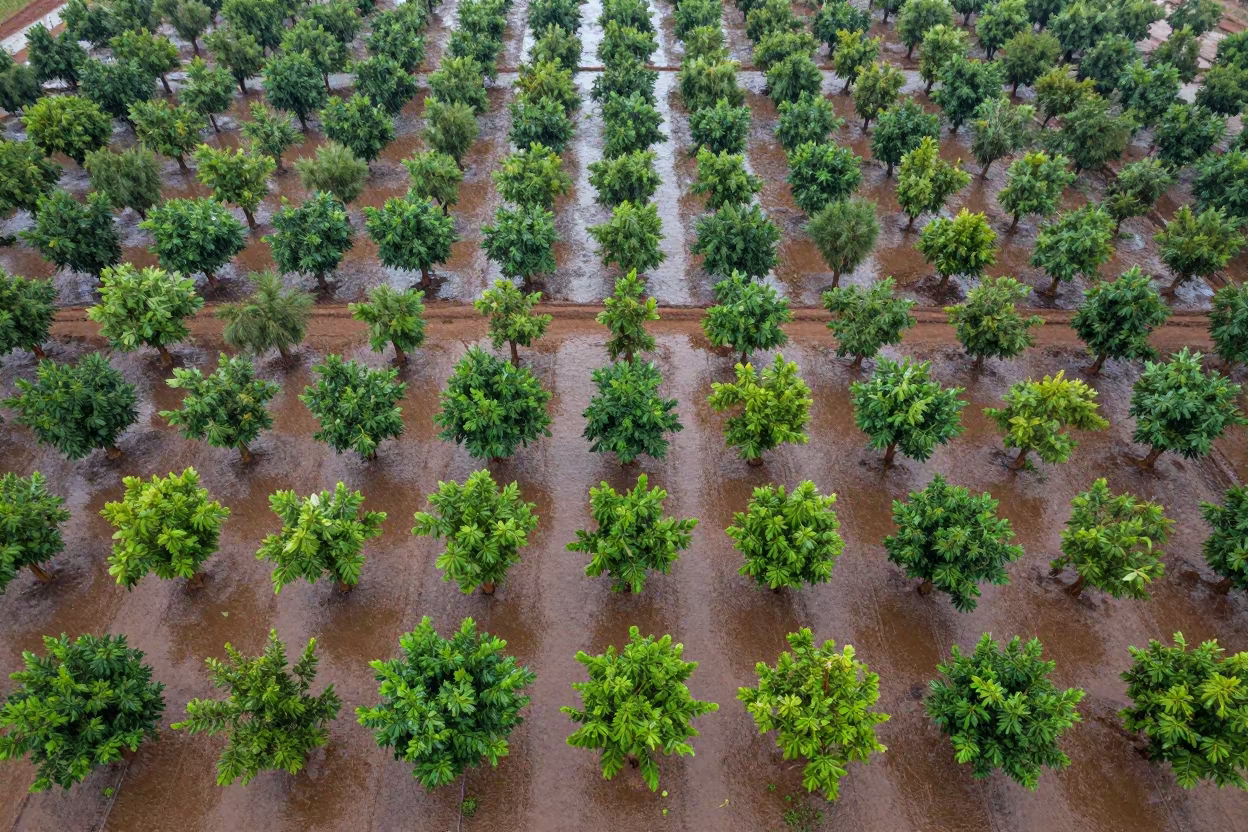
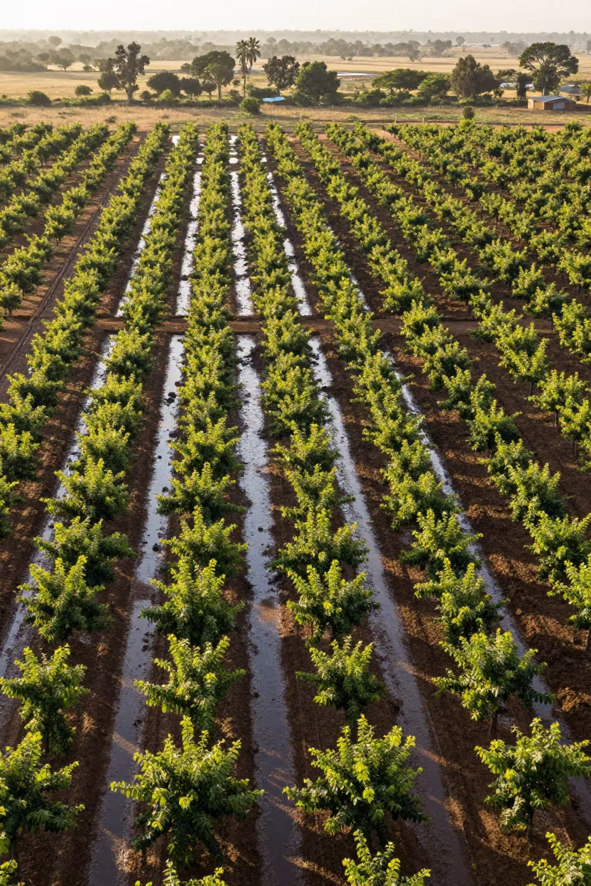
Aerial View of Mali Orchards in Rainy Season
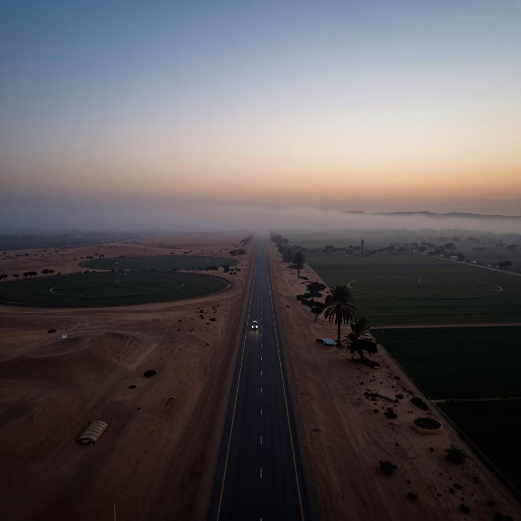
Desert Highway Silhouette Above Irrigation Fog
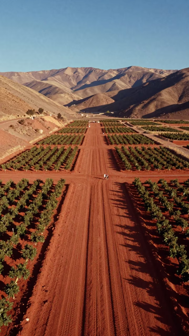
Aerial View of Desert Tracks in Peruvian Orchard
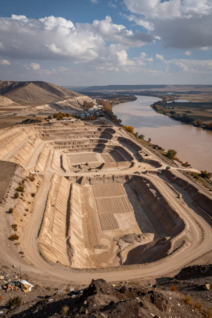
Aerial Sand Pit and River Near Kahramanmaraş
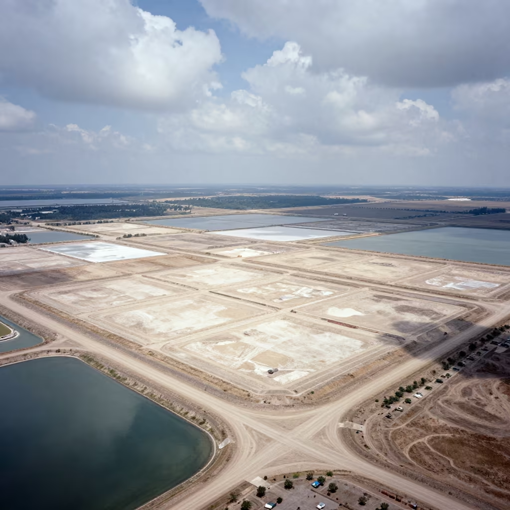
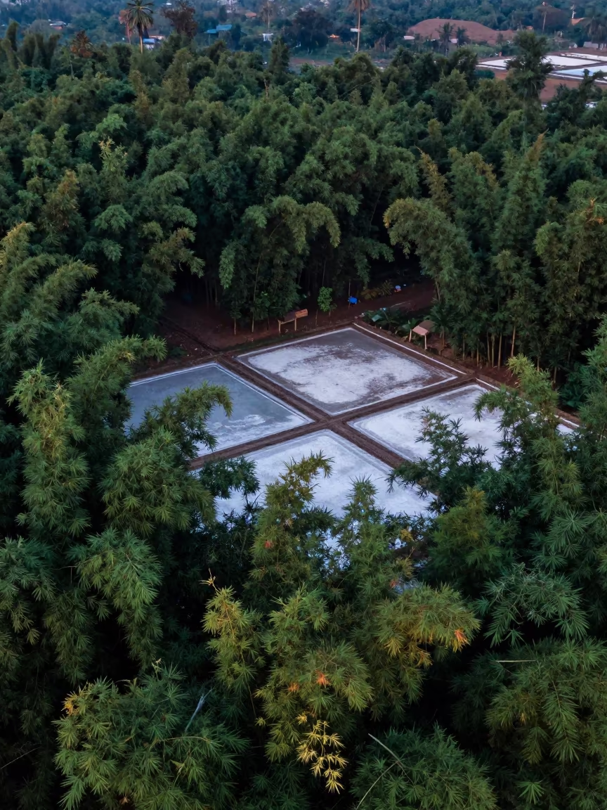
Aerial View of Geometric Landfill Cells Near Salt Ponds
Emerald Rice Paddy Patchwork Aerial View South Sudan
Aerial View of Volcanic Cinders Over Uttarakhand Greenhouses
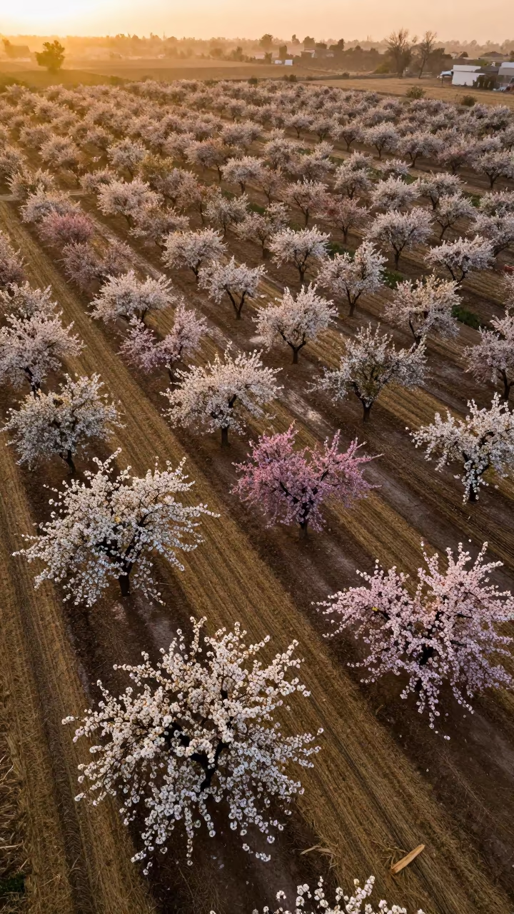
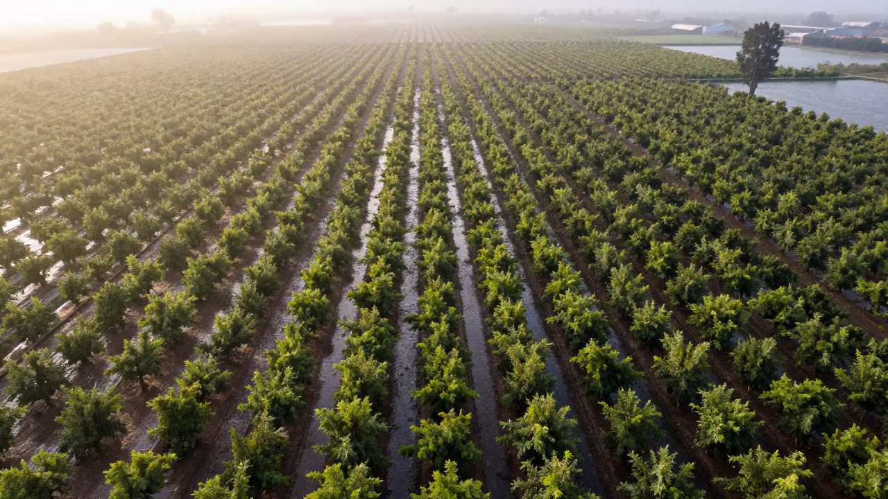
Drone View Orchard Bloom Over Harvested Fields
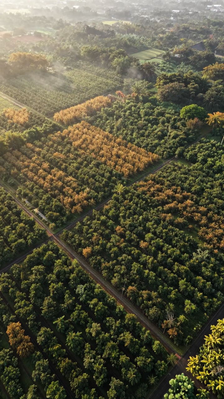
Aerial View of Medan Plantation Rows
Cracked Mud Patterns Over Cambodian Orchards
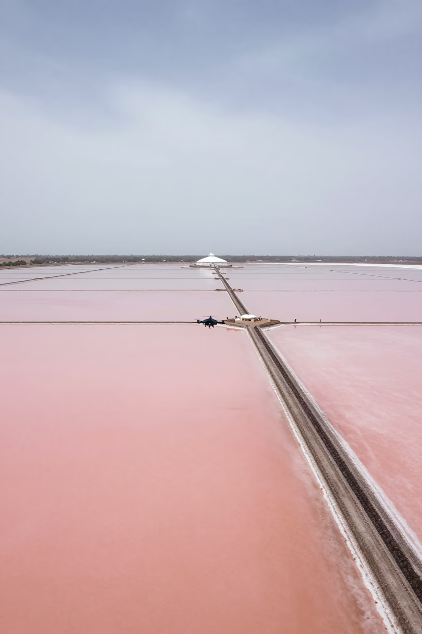
Drone Over Salt Ponds Near Dam Spillway
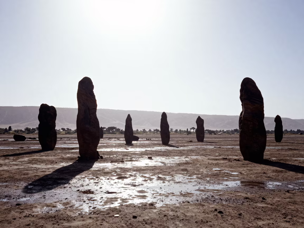
Silhouetted Stone Trees After Rain
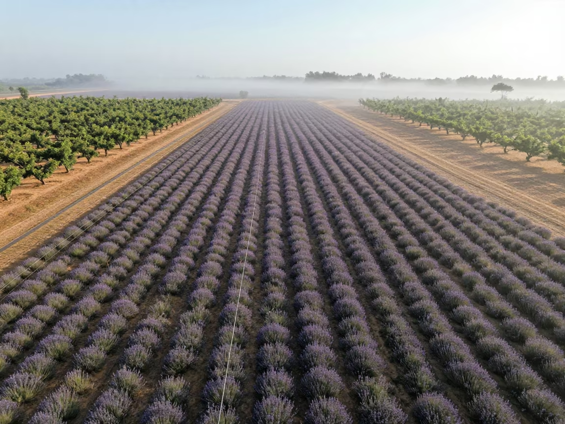
Aerial Lavender Fields Geometric Rows Mist
Dawn Shadows Over Rice Terraces Near İnegöl
Aerial Flower Fields Near Montevideo Salt Ponds
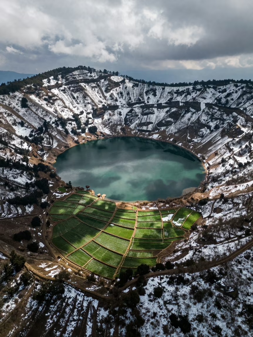
Snow Dust Volcanic Crater Lake Aerial View
Chilean Orchard Aerial View After Rain
Winter Cotton Fields Above Damascus Wadis
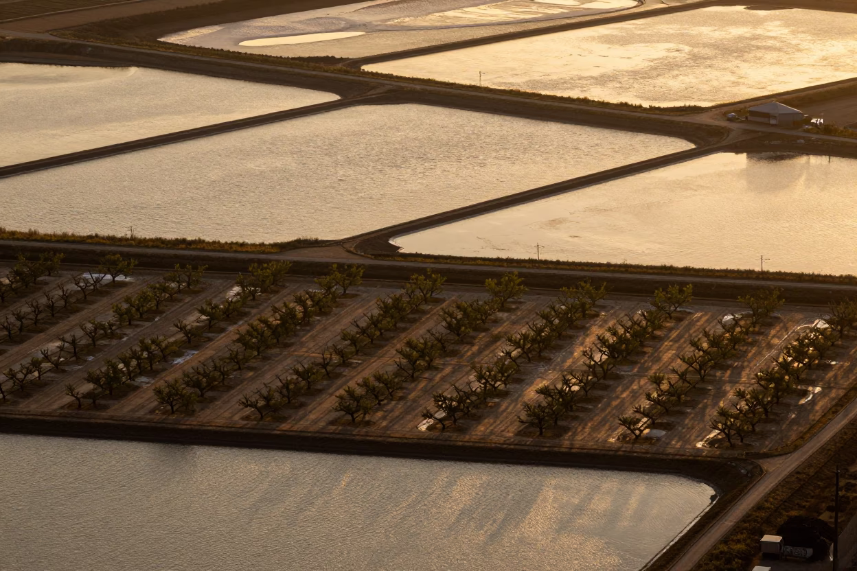
Aerial Salt Ponds and Orchard Grids at Golden Hour
Desert Oasis Tile Sand Transition Surreal Aerial View
Comments