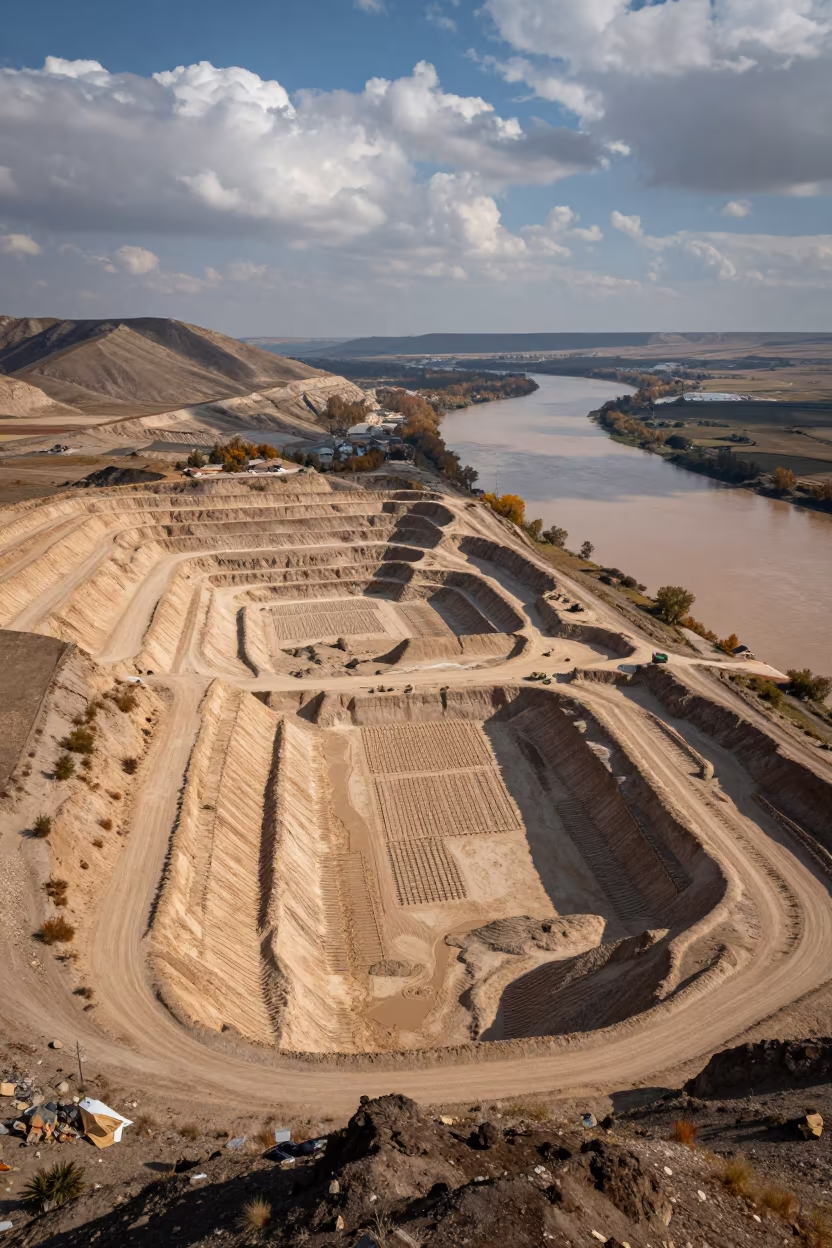
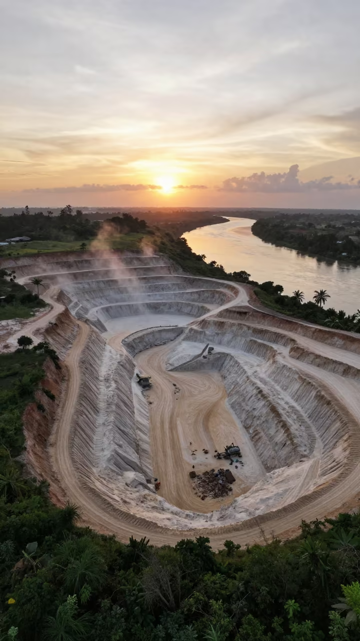
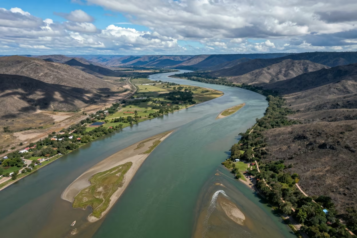
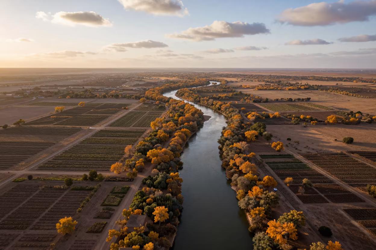
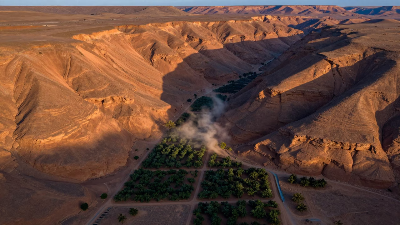
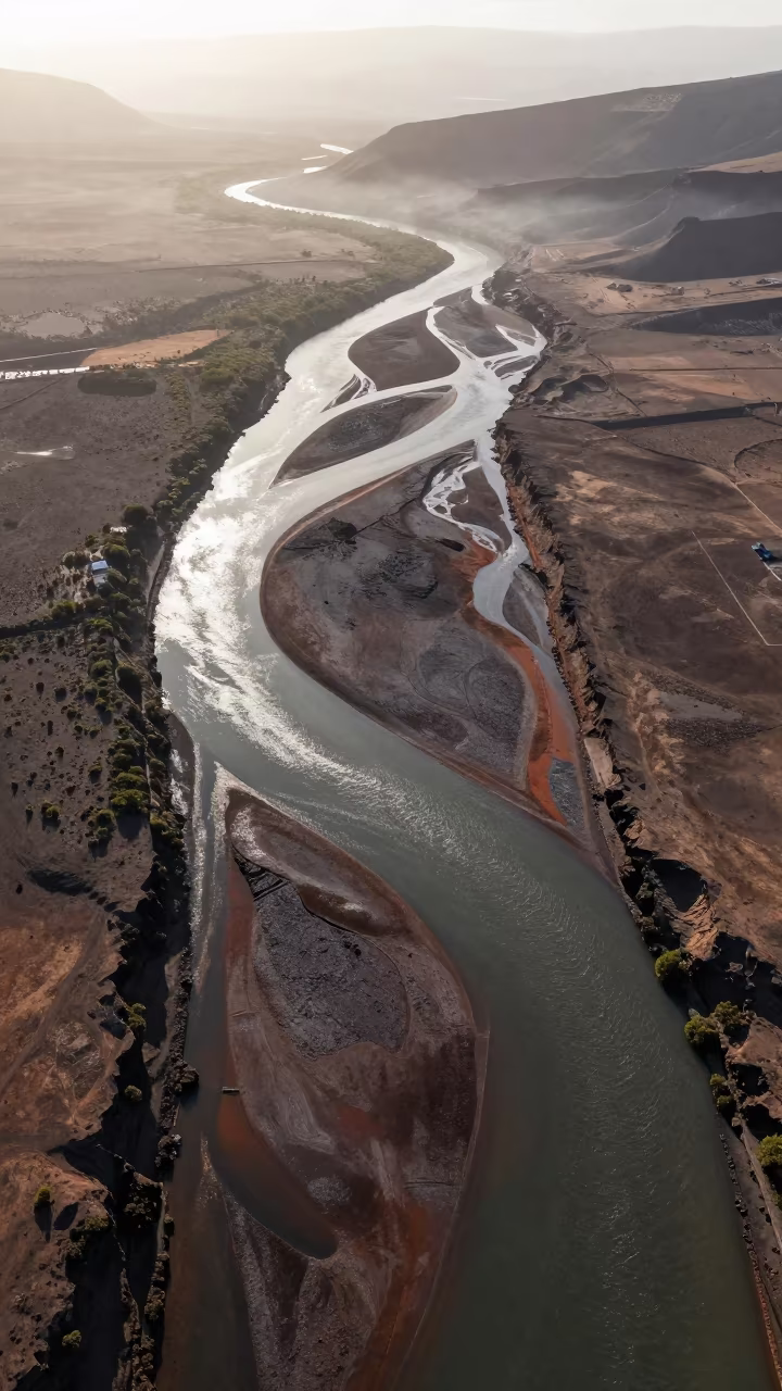
Aerial Sand Pit and River Near Kahramanmaraş
by Hayden Weber
Pale ochre excavation trenches cut deep into the earth beside a wide, silt-heavy river winding through the landscape. The mining pit displays geometric terraces and exposed soil layers against the dark, flowing water below. Irrigation channels form precise grid patterns across the surrounding dry fields, their straight lines intersecting with the organic curves of the riverbank. Above, dramatic cumulus clouds cast shifting shadows across the terrain, highlighting the texture of the sandy slopes and the dusty ridges. The view reveals the stark scale of industrial extraction against the natural river system. Fine dust settles on the terraced edges where the sun strikes the dry ground at an angle.
Free to download. CDN hosting requires a link back to this page. Terms
Similar Images
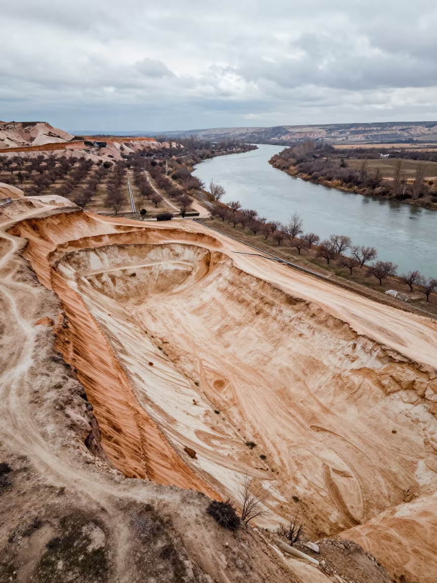
Aerial Sand Pit Winter Cappadocia River
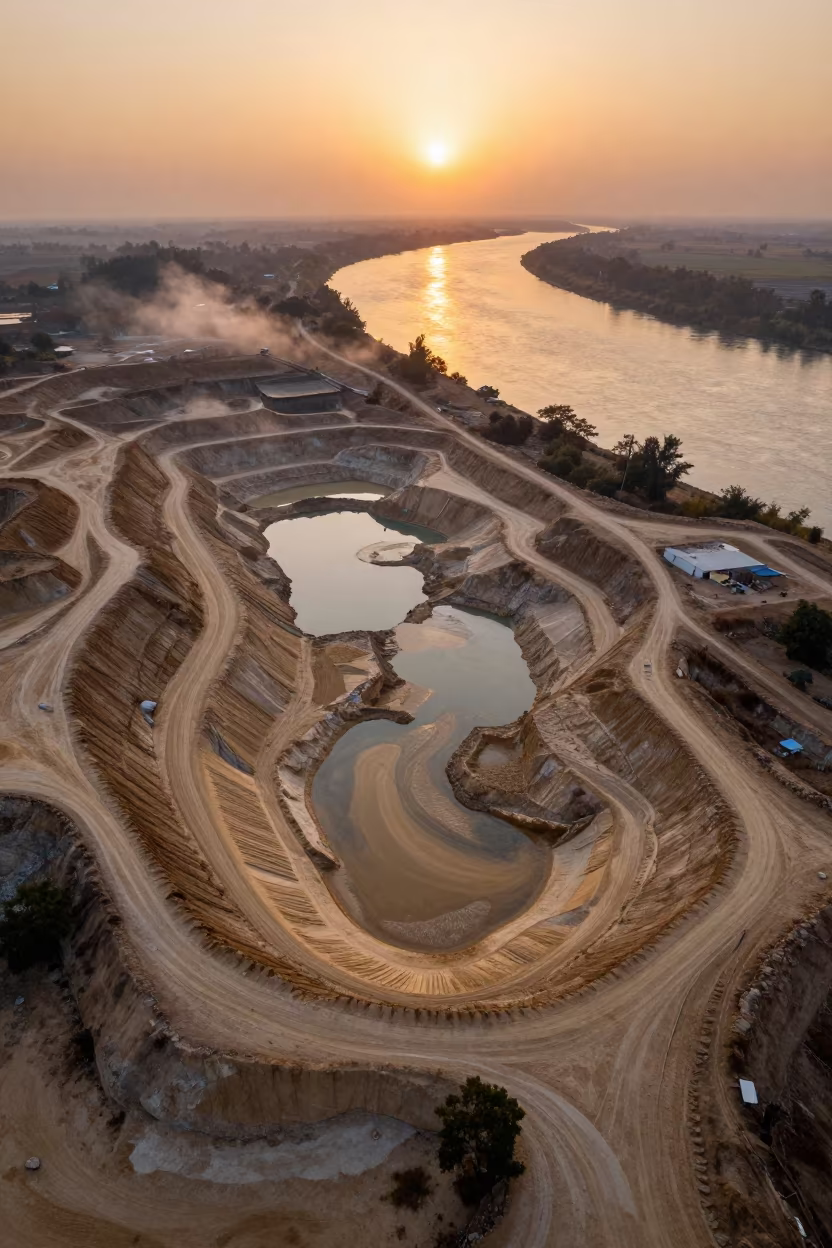
Amber Sunset Over Sand Pit Near River Satna
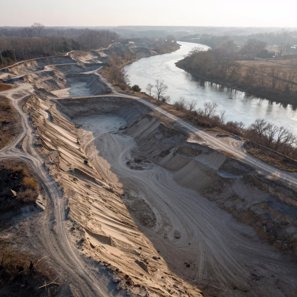
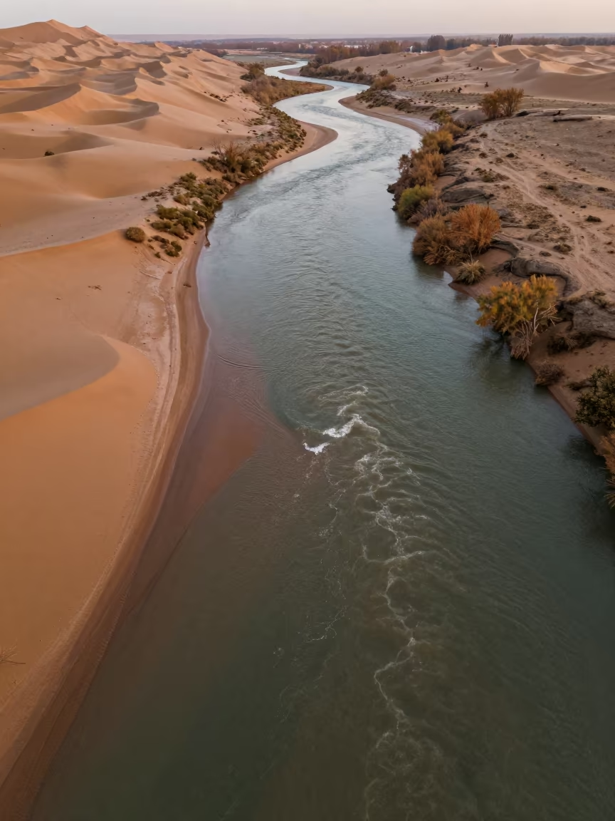
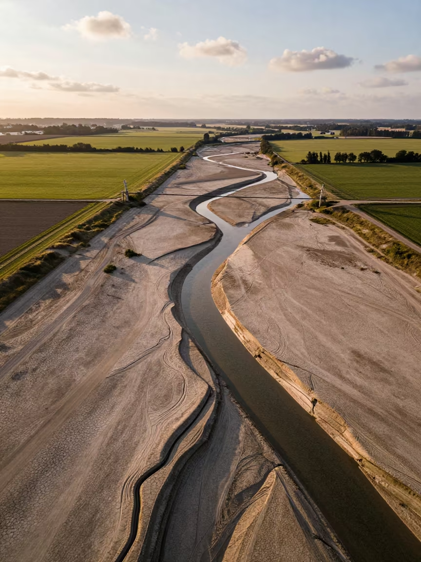
Aerial Sand Pit Beside River Meander
Aerial View Sand Mining Pit River Guatemala
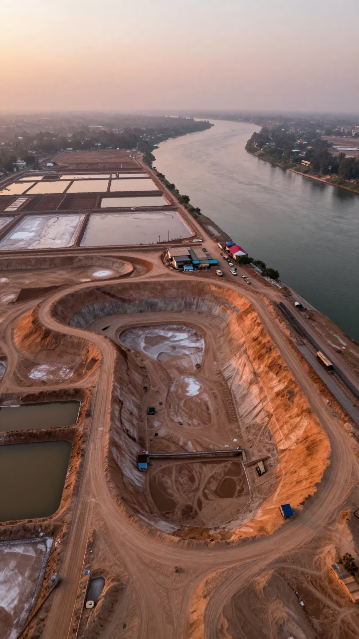
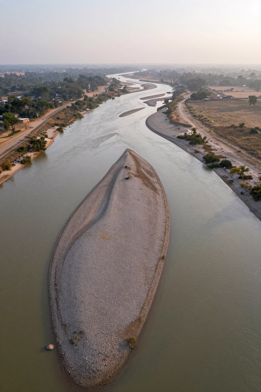
Aerial Sand Pit Beside River Pakistan
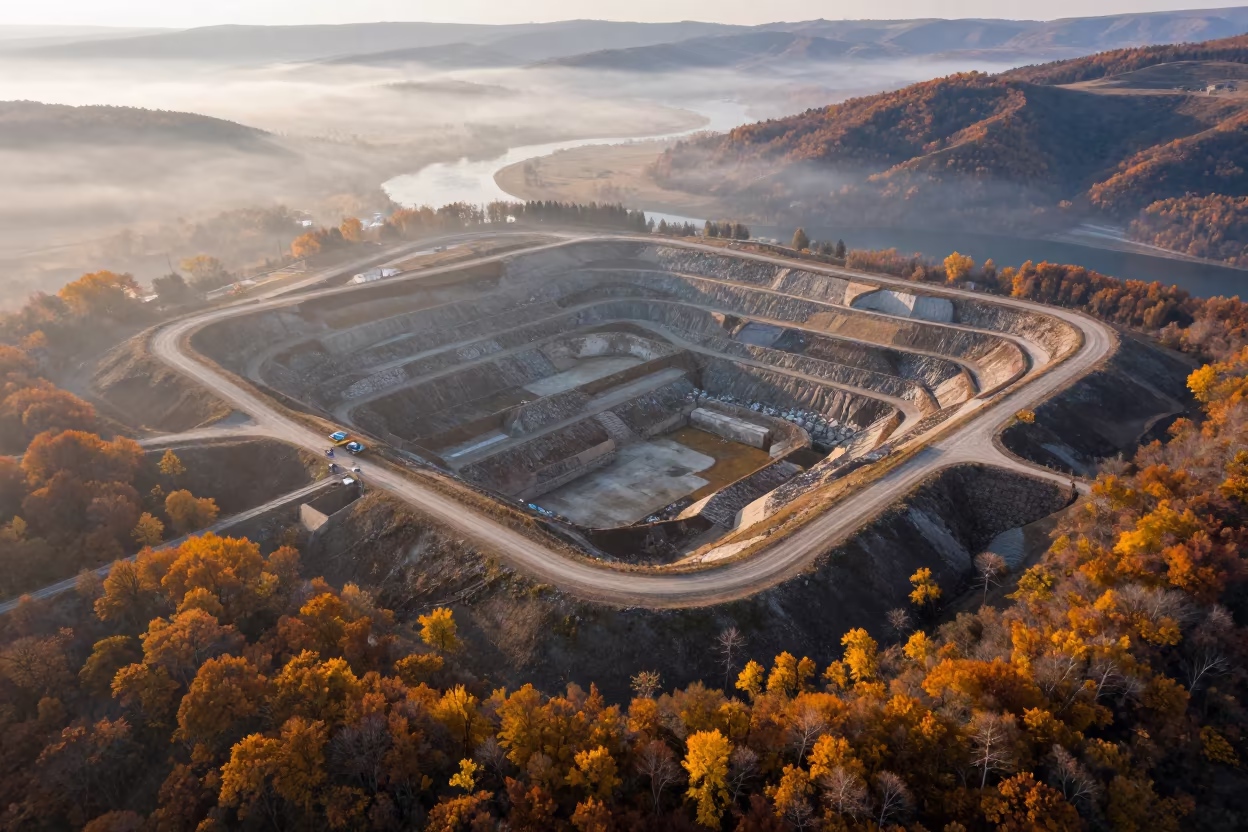
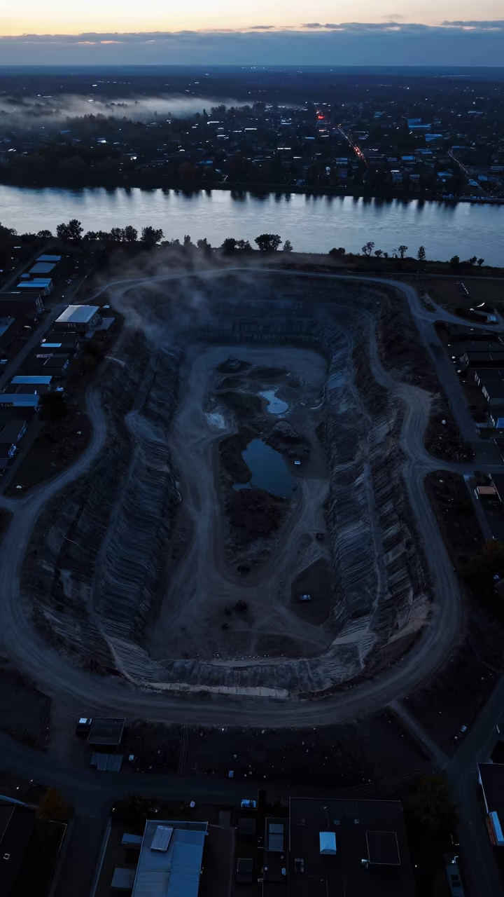
Autumn Aerial View of Landfill Cells Over River
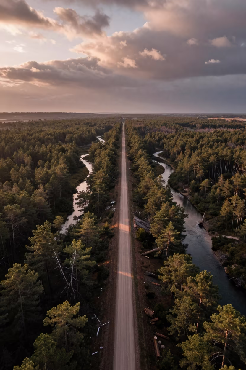
Aerial View of Logging Road and Braided River
Aerial view of braided river channels near Havana
Aerial sand pit river silhouette blue hour
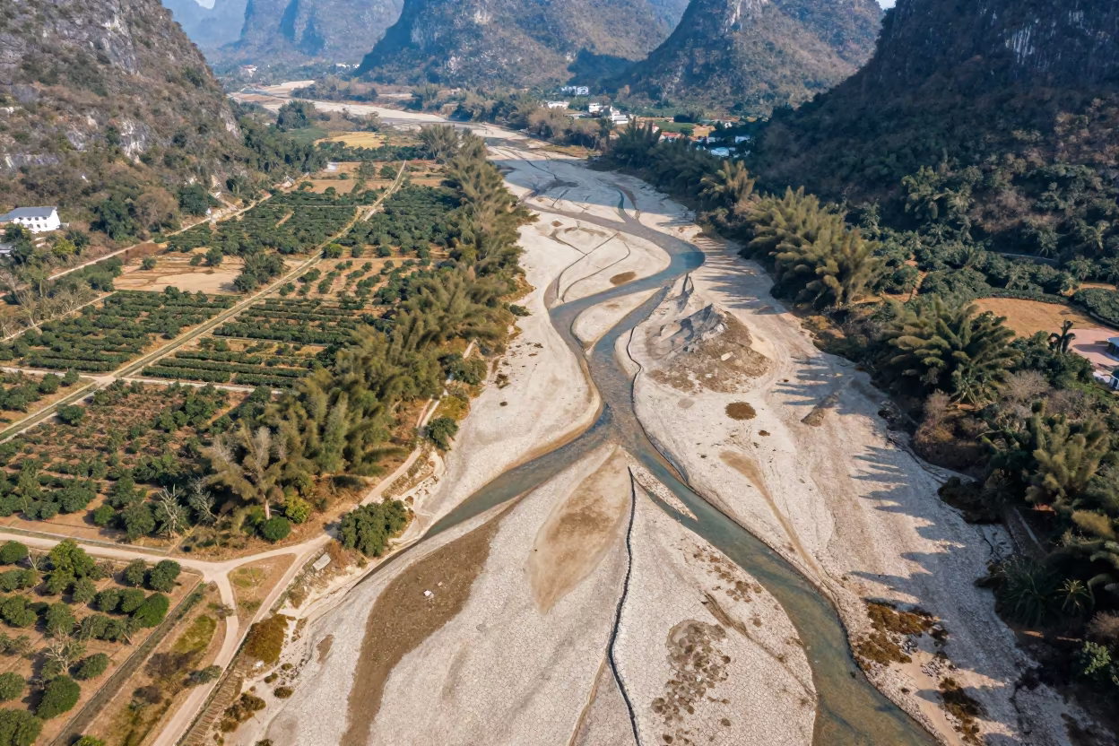
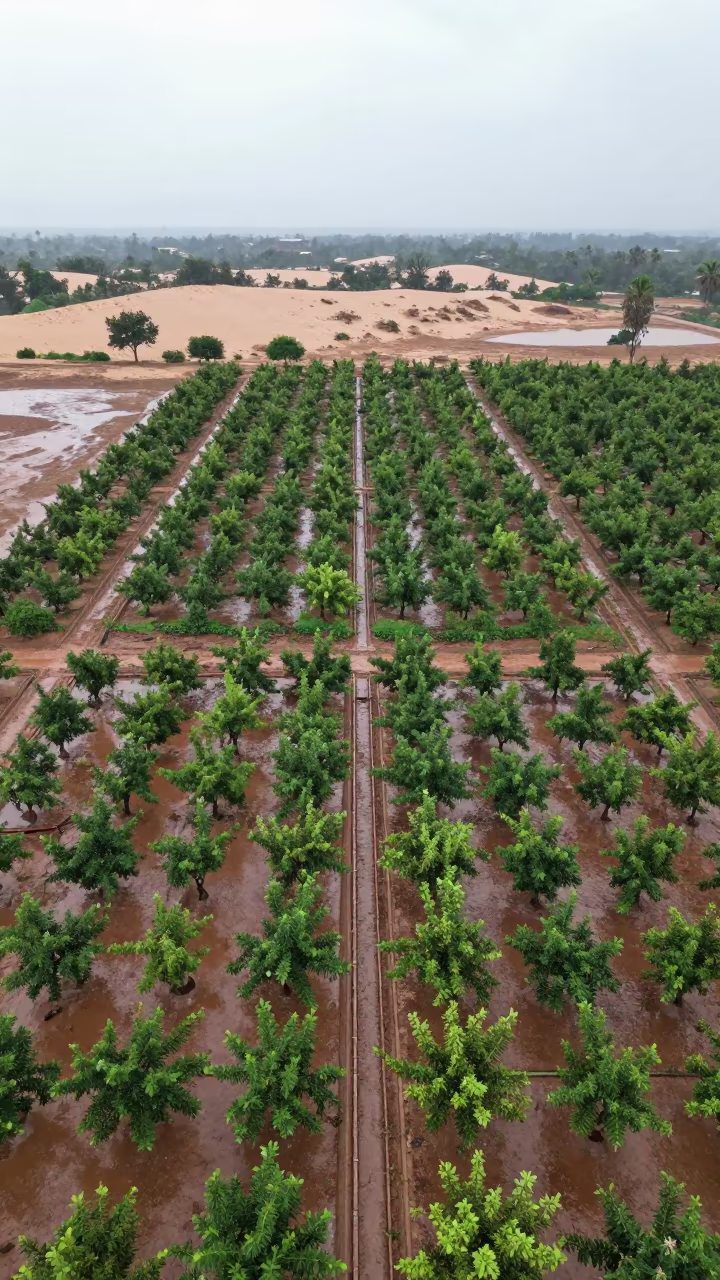
Dry River Veins Branching Over Guilin Orchards
Braided Floodwater Channels Aerial View
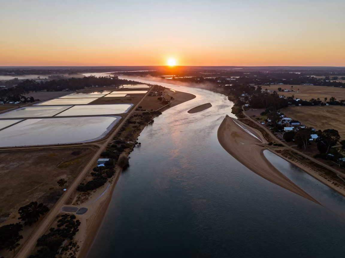
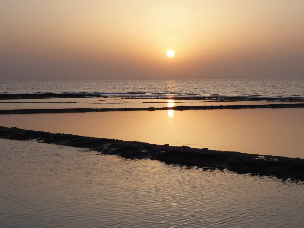
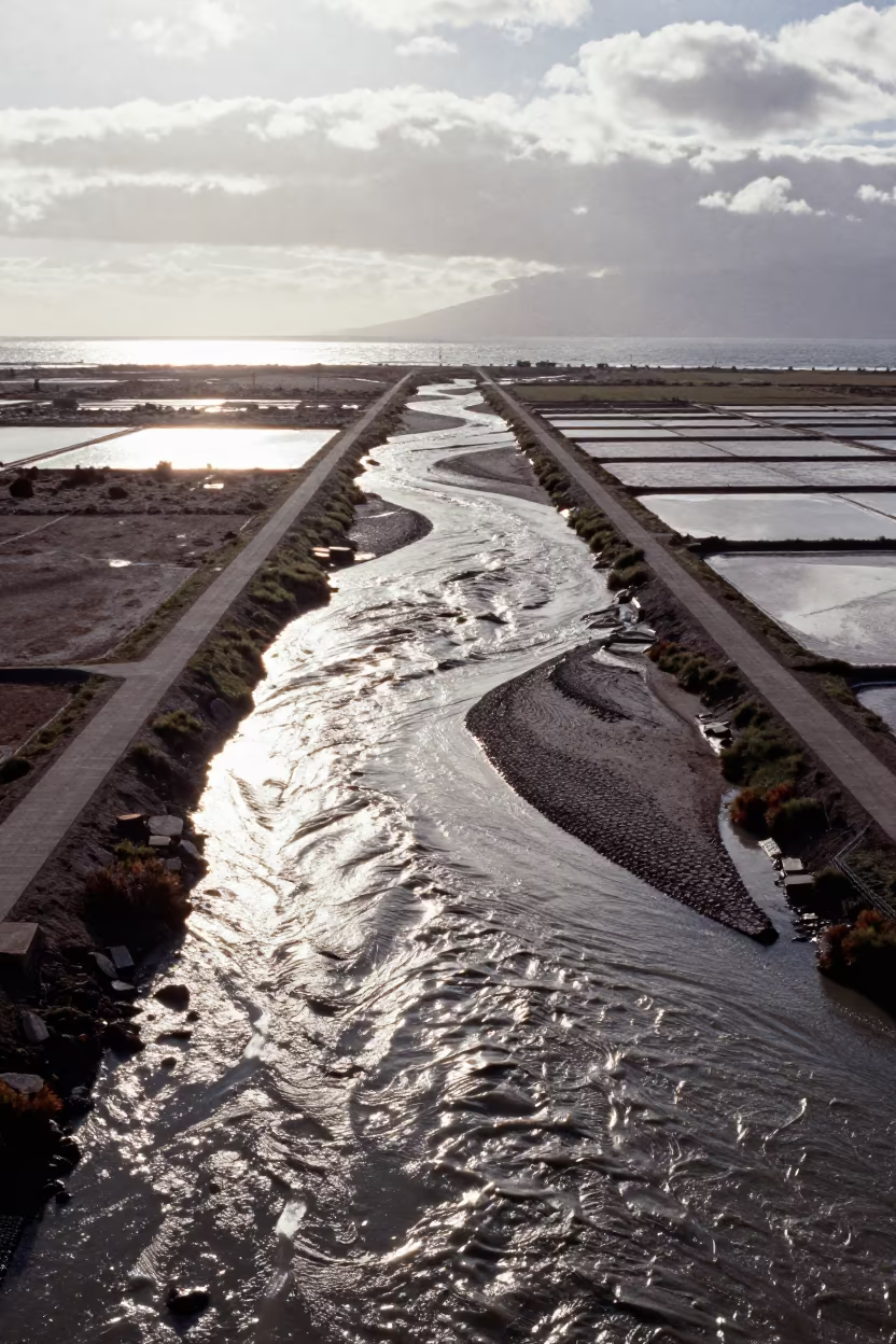
Aerial Sunset Over Salt Ponds and River Islands
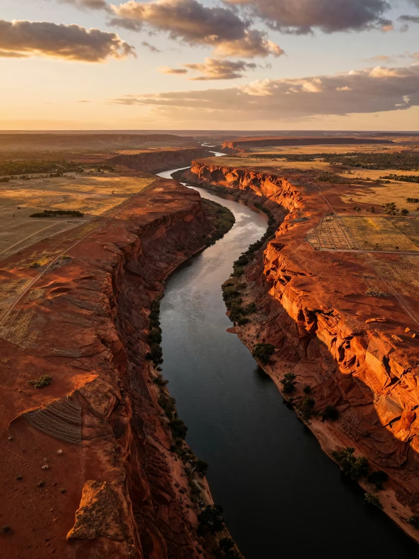
Golden Hour River Canyon Irrigation Western Australia
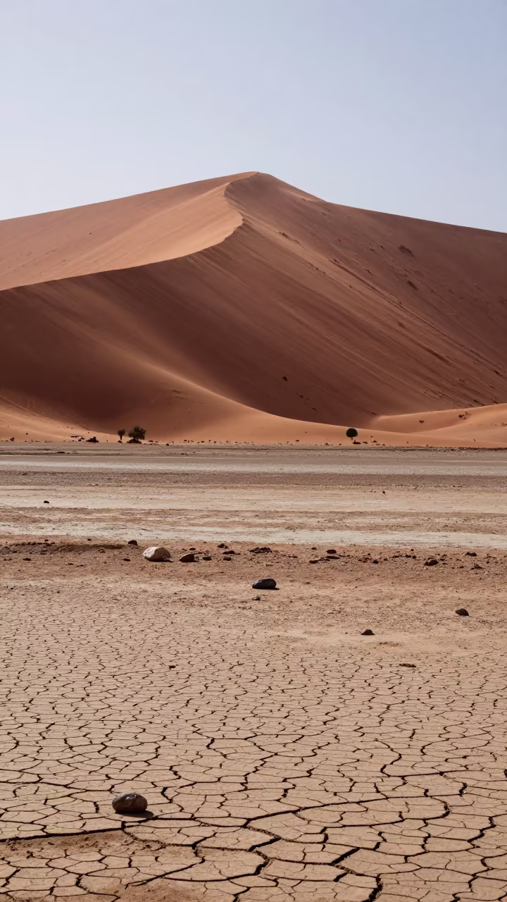
Red Sand Dune Over Dry Riverbed at Midday
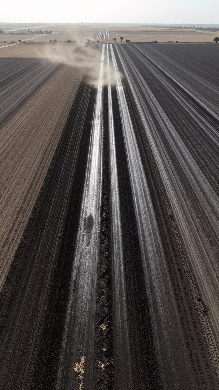
Aerial View of Irrigated Furrows Near Omdurman
Aerial View of Winding River Through Autumn Forest
Aerial River Confluence in Autumn Dunes Near Van
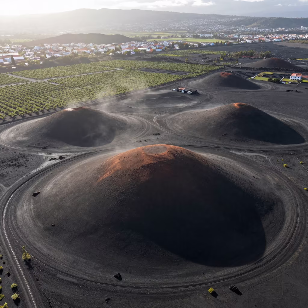
Aerial View of Volcanic Cones Near Medellín
Golden Hour Alluvial Fan Iran Canyon
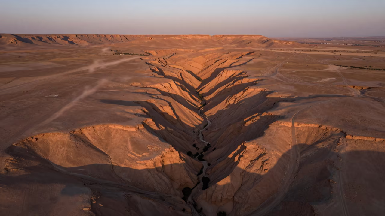
Canyon Shadow Slicing Ochre Plateau Near Isfahan
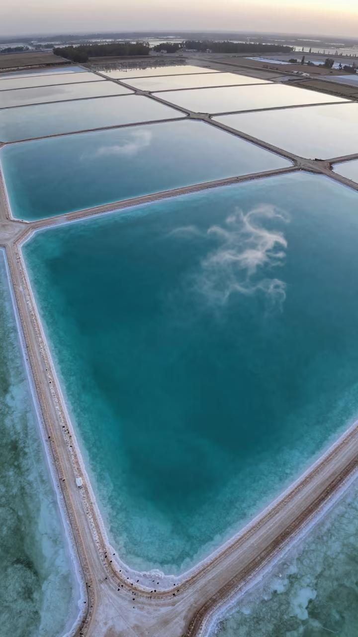
Turquoise Salt Ponds and White Sand Aerial View
Canyon Shadow on Niger Ochre Plateau
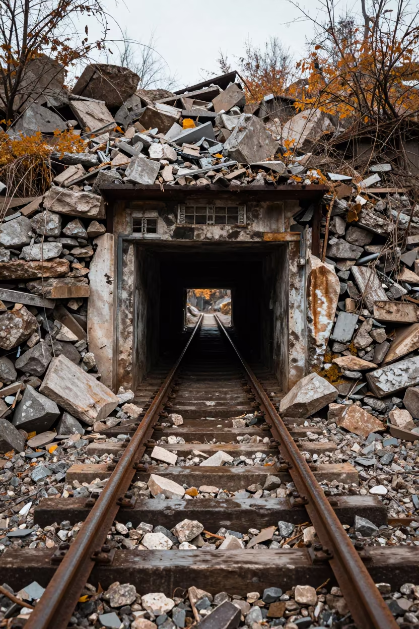
Wet Rails at Crumbling Ironstone Mine Entrance
Amber Sunset Reflections on Wet Tidal Flats
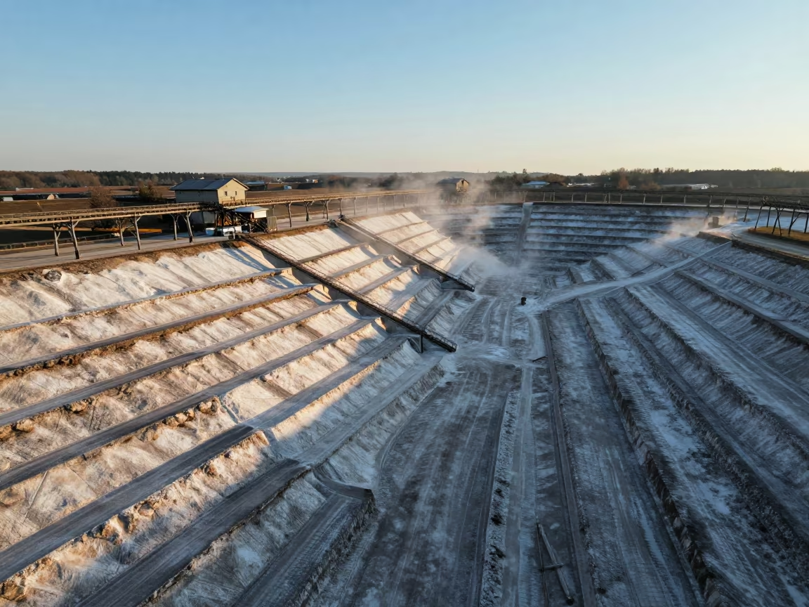
Surreal Drone View of Terraced Salt Mine
Aerial View of Braided River Channels at Dawn
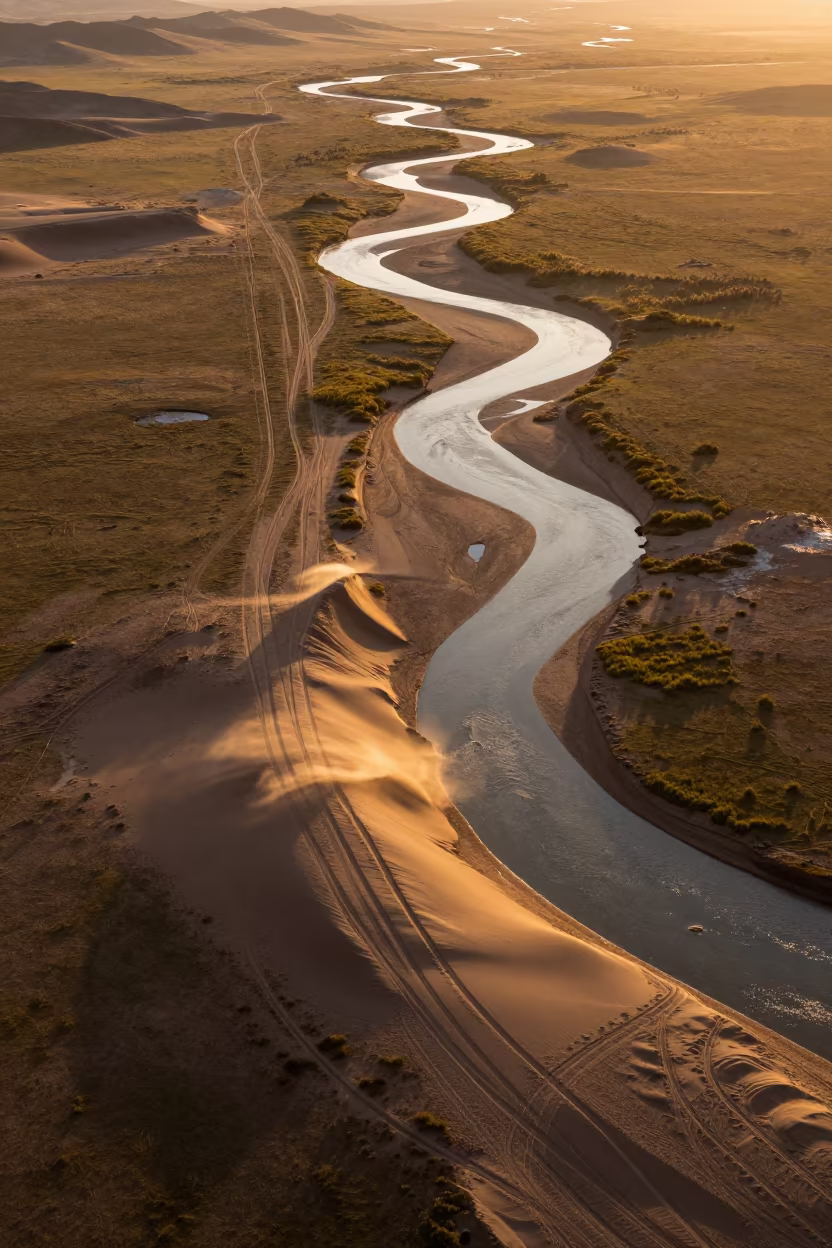
Amber Sunset Desert Tracks Over Mongolian River
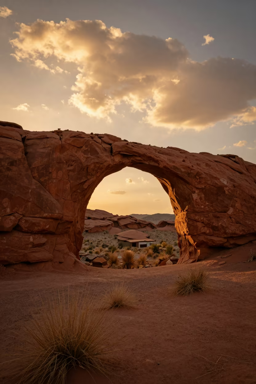
Golden Hour Stone Arch Over Red Desert Valley
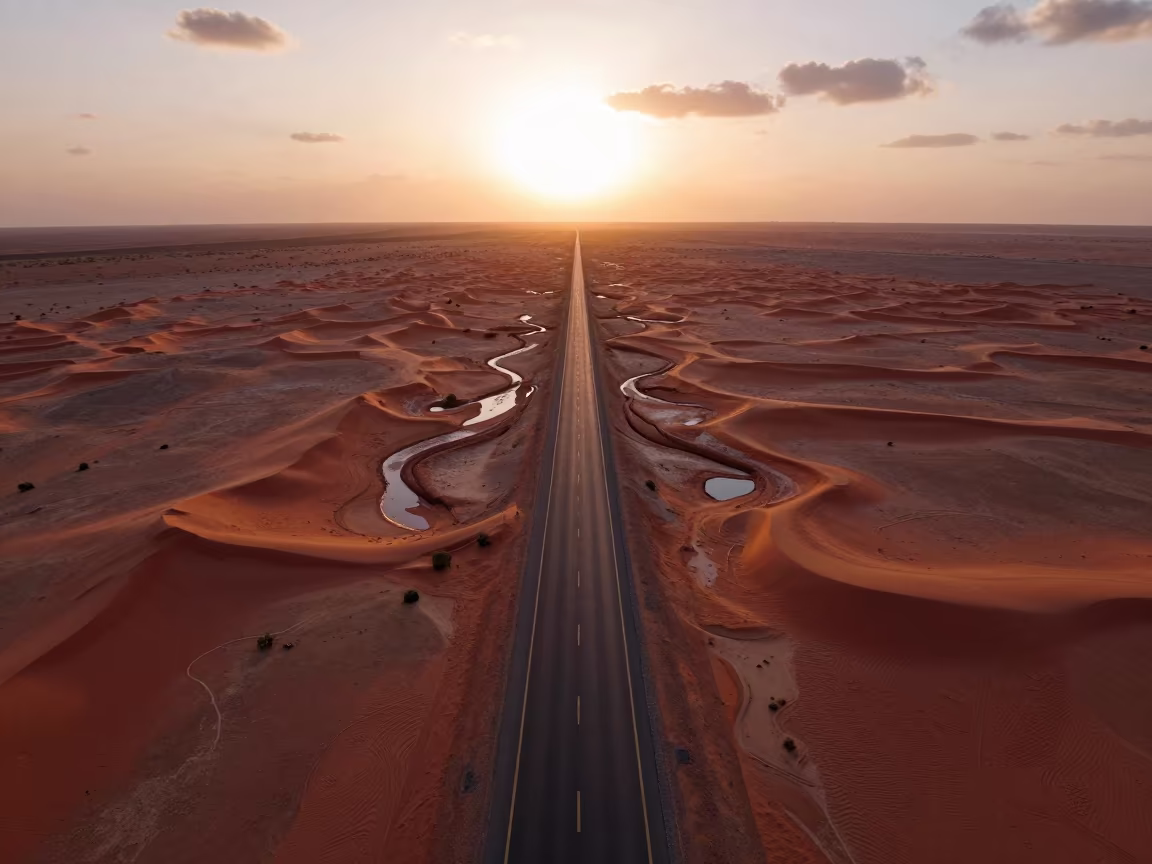
Aerial Desert Highway Vanishing Into Red Dunes
Aerial View of Desert Canyon Red Walls Abu Dhabi
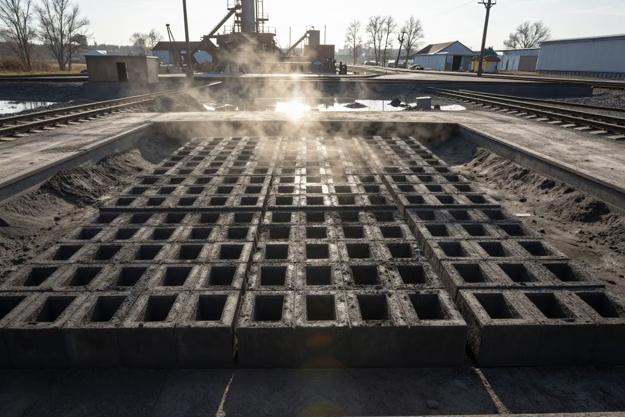
Foundry Sand Molds in Rail Yard Light
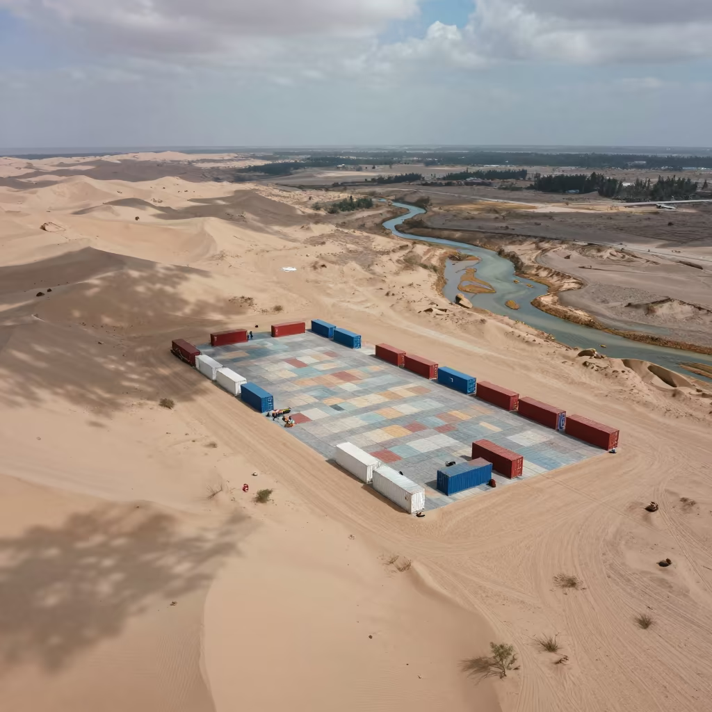
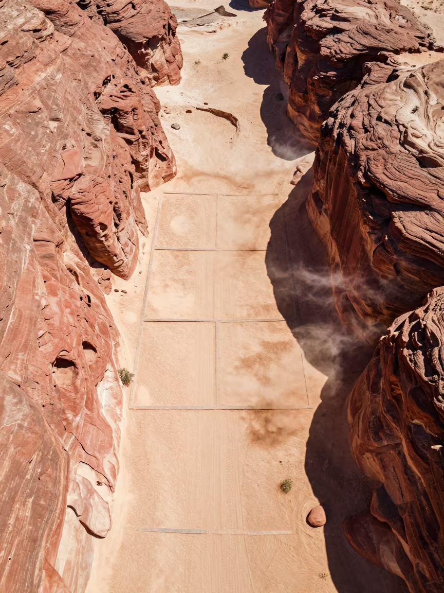
Aerial View of Container Tiles Over Dunes
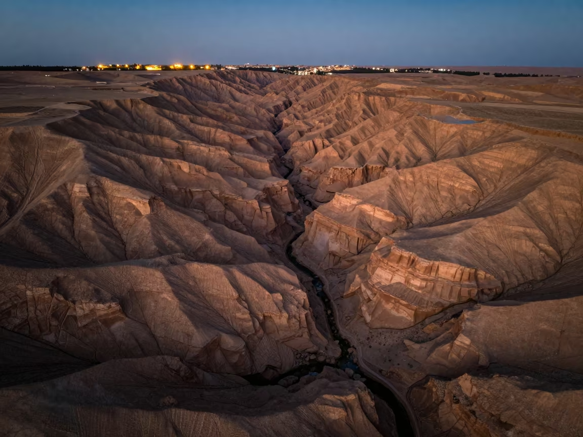
Aerial Canyon Shadow Ochre Plateau Near Isfahan
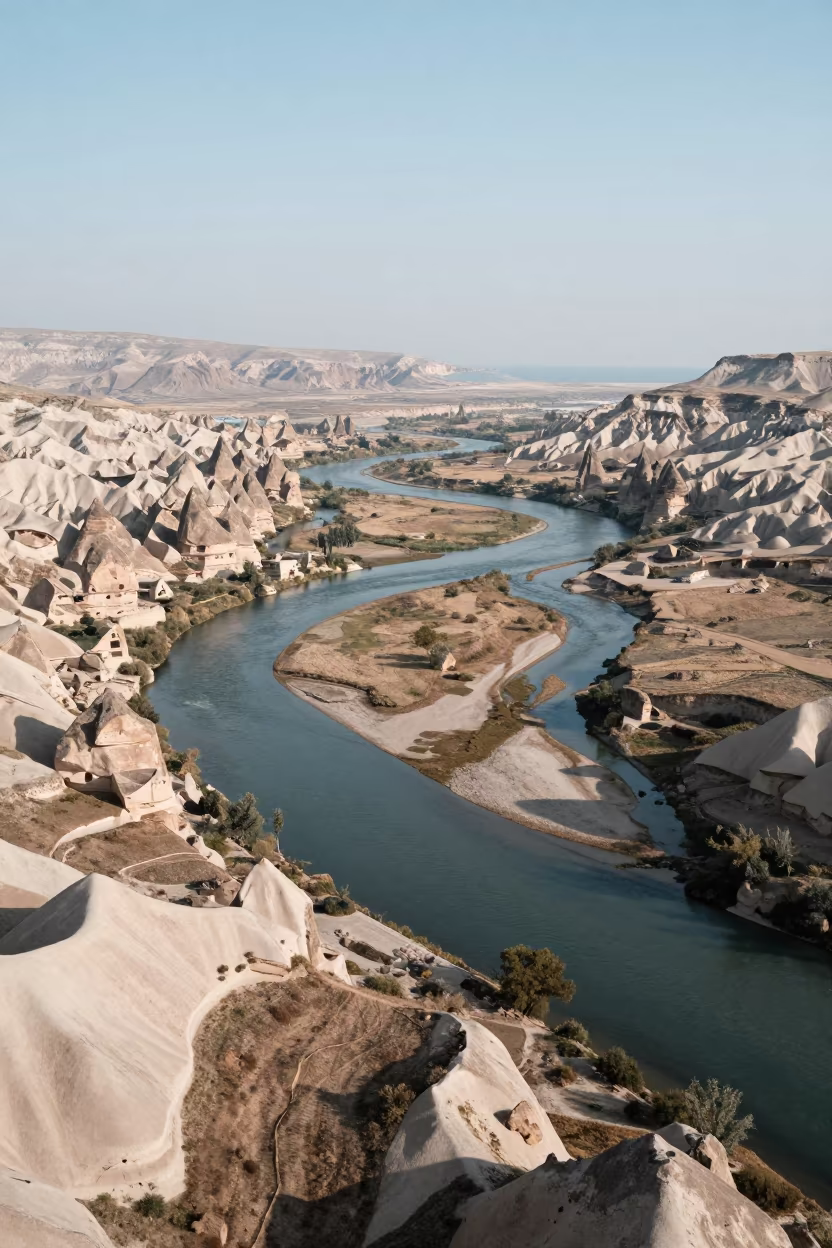
Aerial View of Cappadocia River Delta Branching
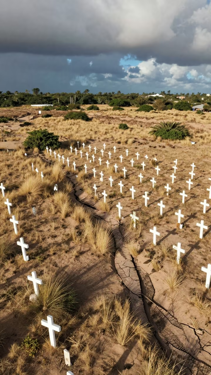
Aerial Cemetery White Crosses Dune Fields Cochabamba
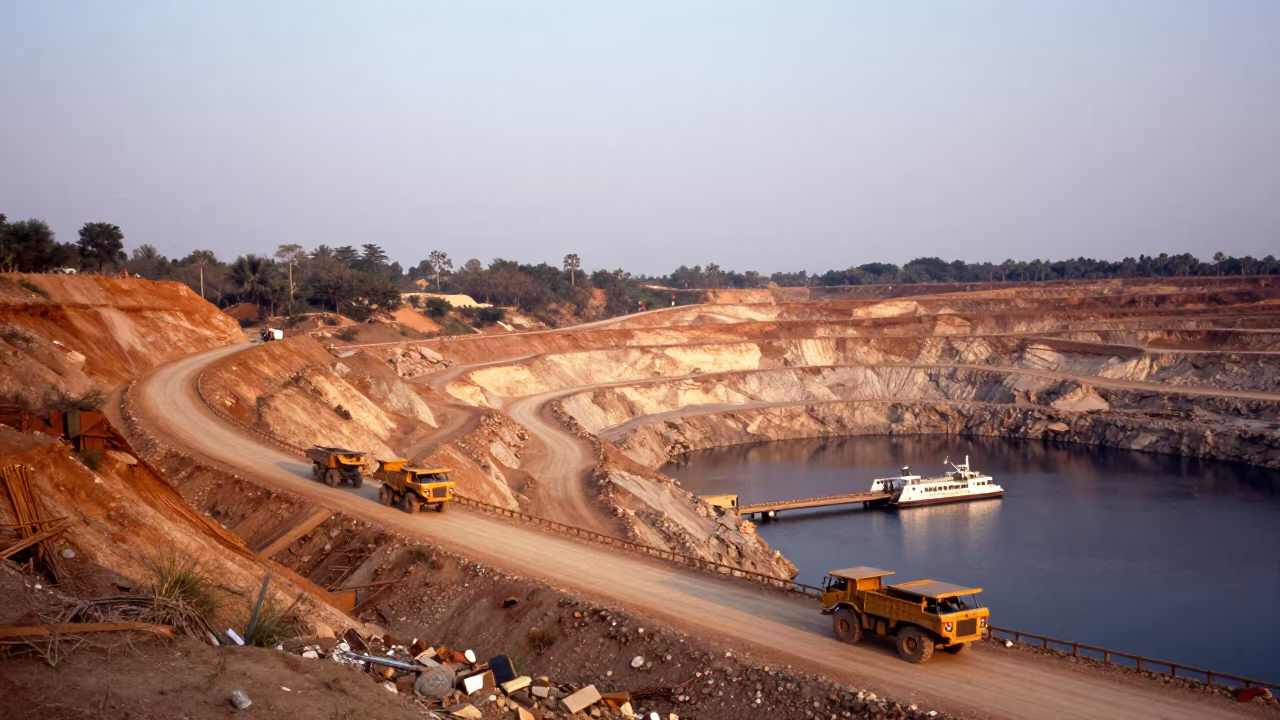
Copper Mine Pit Haul Trucks on Cambodian Ferry
Dry River Bed Veins Aerial View
Braided River Glacial Silt Aerial View Cali
Comments