Aerial View of Australian Irrigation Geometry
by Jonas James
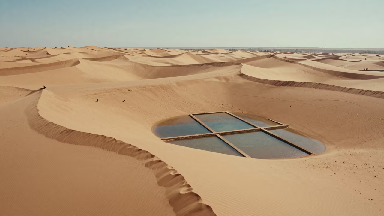
Turquoise waters surround a geometric grid of irrigation channels etched into the dry Australian earth. The first rays of sunrise strike the surface, creating a sharp diagonal line where light meets shadow. Rectangular plots of green vegetation stand in stark contrast to the surrounding ochre soil. A perfectly clear sky offers no clouds, only a deep, unbroken blue above the landscape. The diagonal composition of the water channels creates clear structured tension against the natural curves of the coastline. Pools of water reflect the pale morning sky, while the dry earth absorbs the early warmth. The precise alignment of the fields suggests human intervention in the arid biome. A narrow strip of wet sand marks the boundary between the sea and the land.
Free to download. CDN hosting requires a link back to this page. Terms
Similar Images
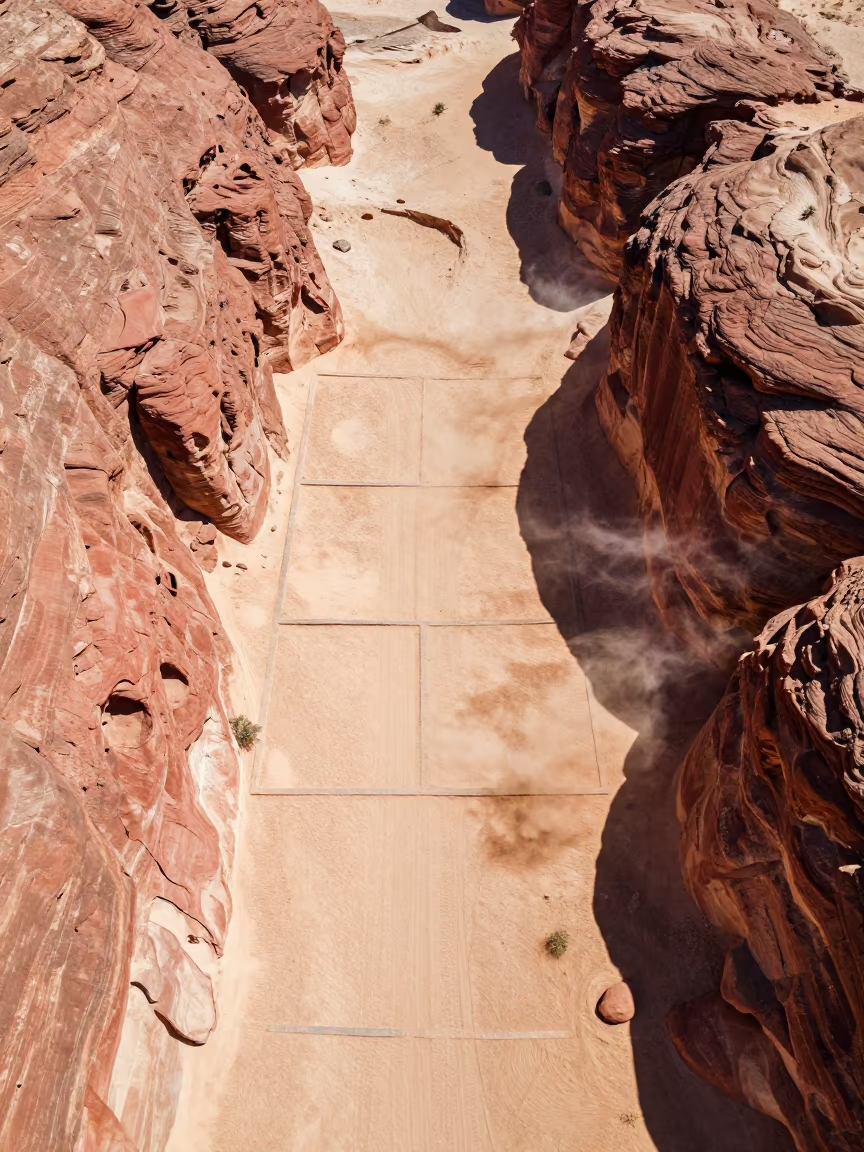
Golden Hour River Canyon Irrigation Western Australia
Aerial View of Sports Complex and Irrigation Fields
Aerial View of River Delta Branching Over Salt Ponds
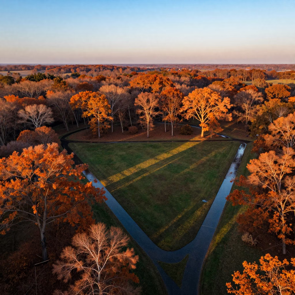
Aerial autumn forest sunset irrigation geometry Arua
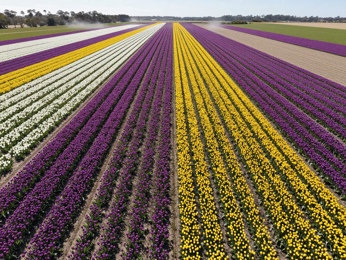
Australian Tulip Fields in Vivid Midmorning Stripes
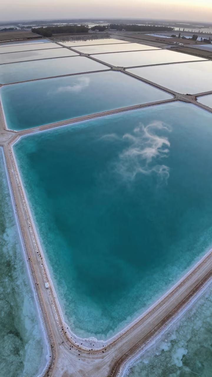
Turquoise Salt Ponds and White Sand Aerial View
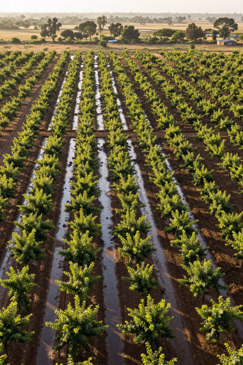
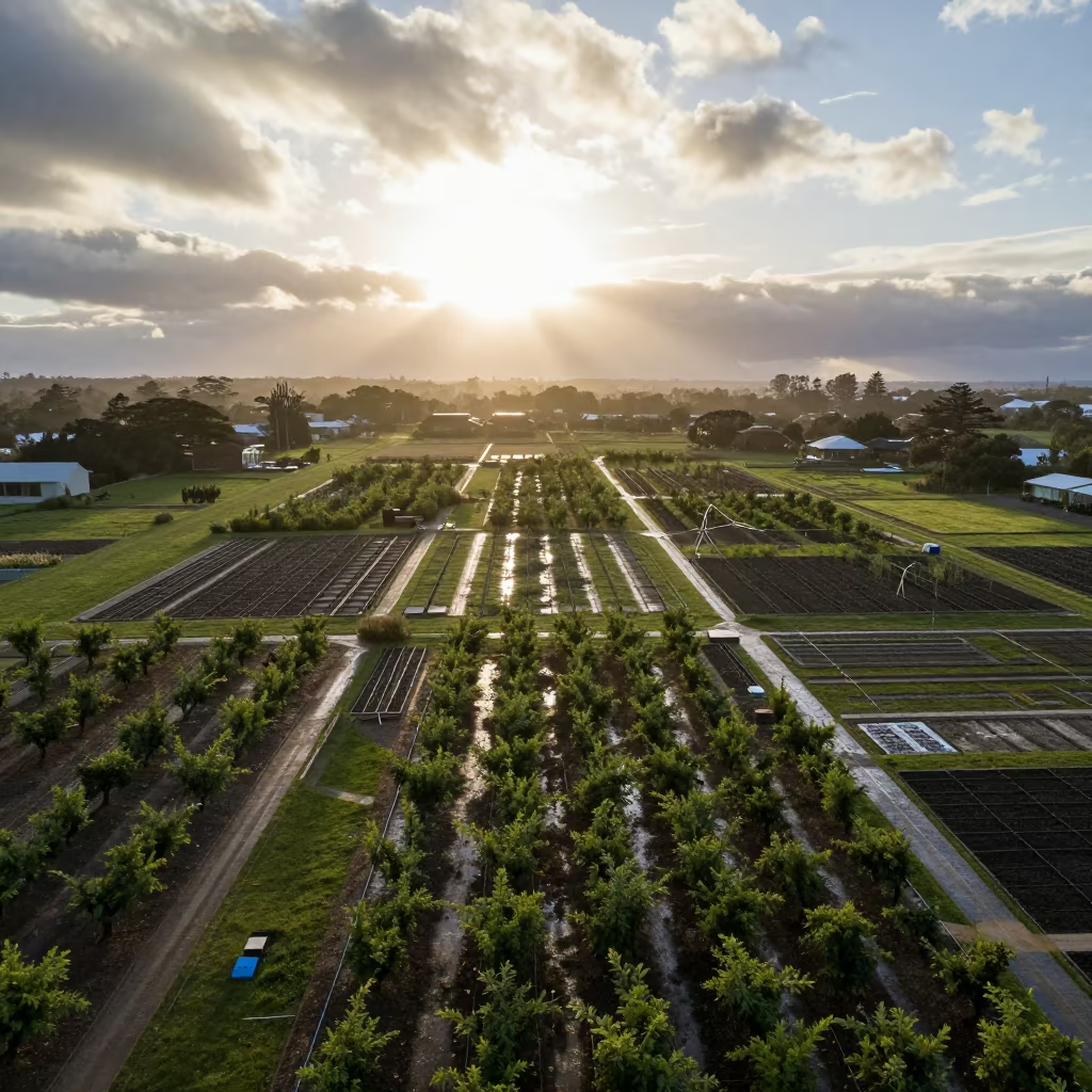
Aerial Orchard Grids at Dutse Dawn
Aerial View of Desert Canyon Red Walls Abu Dhabi
Aerial View of Petrified Dunes at Blue Hour
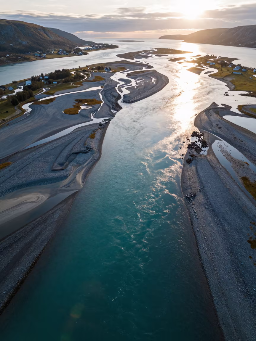
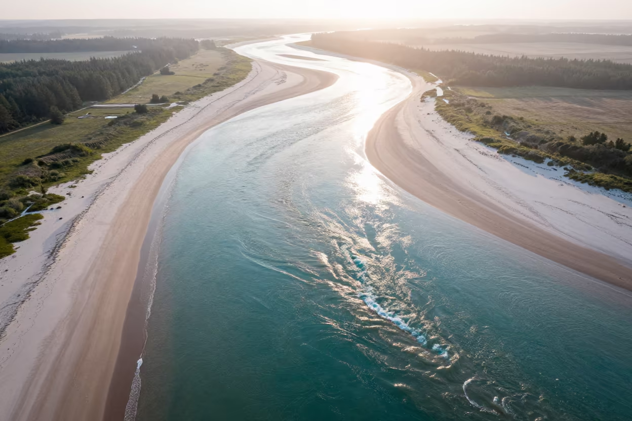
Aerial Norway Braided River Channels Turquoise Sea
Aerial Morocco Sand Dunes Noon Shadows
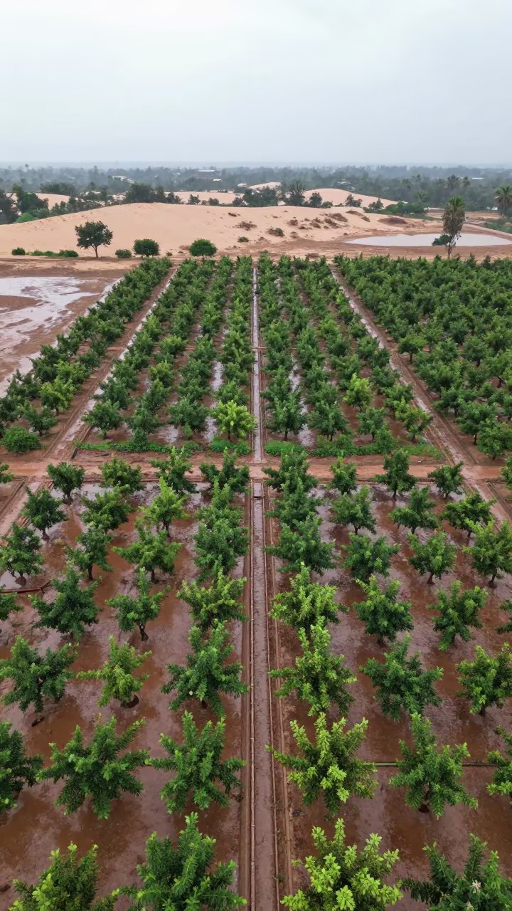
Aerial Orchard Grids Beside Dunes
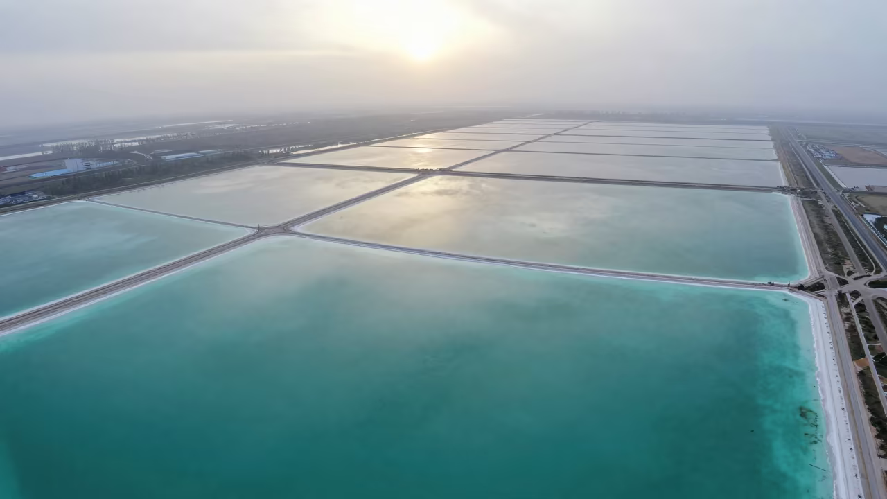
Aerial Turquoise Waves Over Salt Ponds
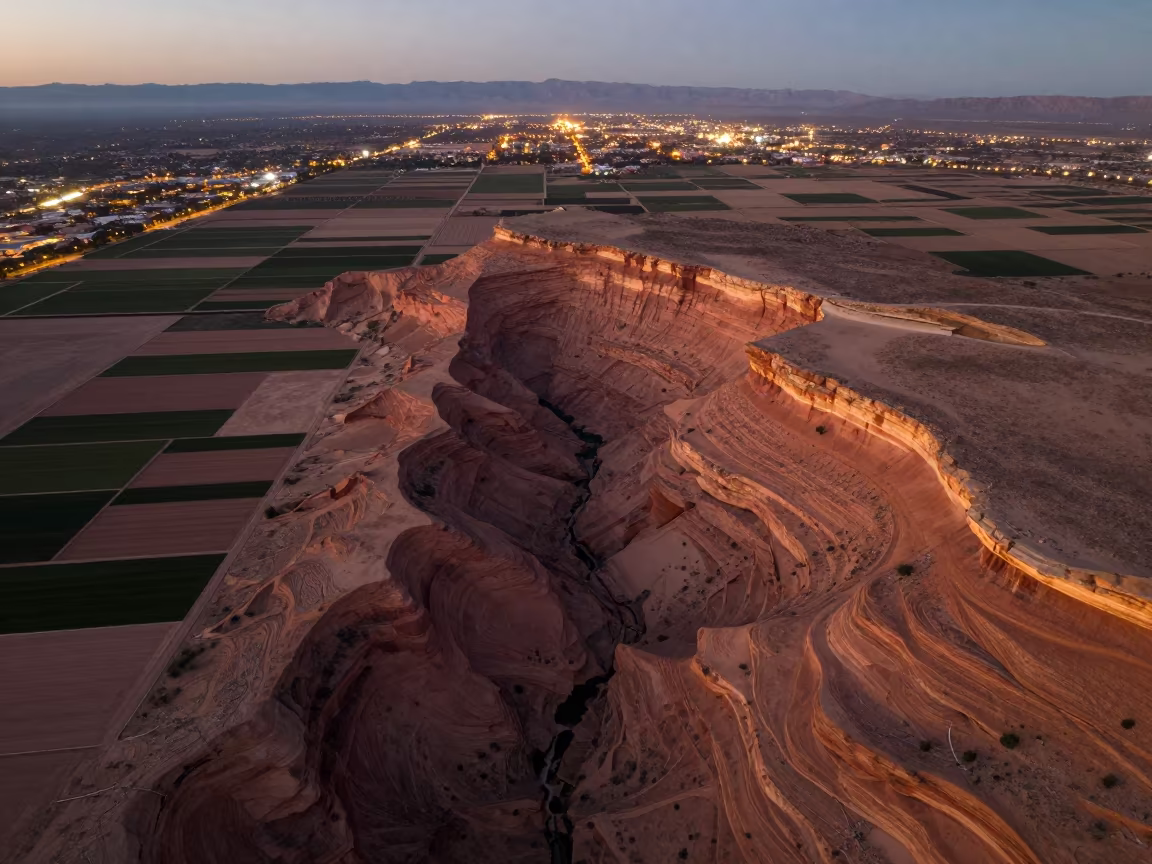
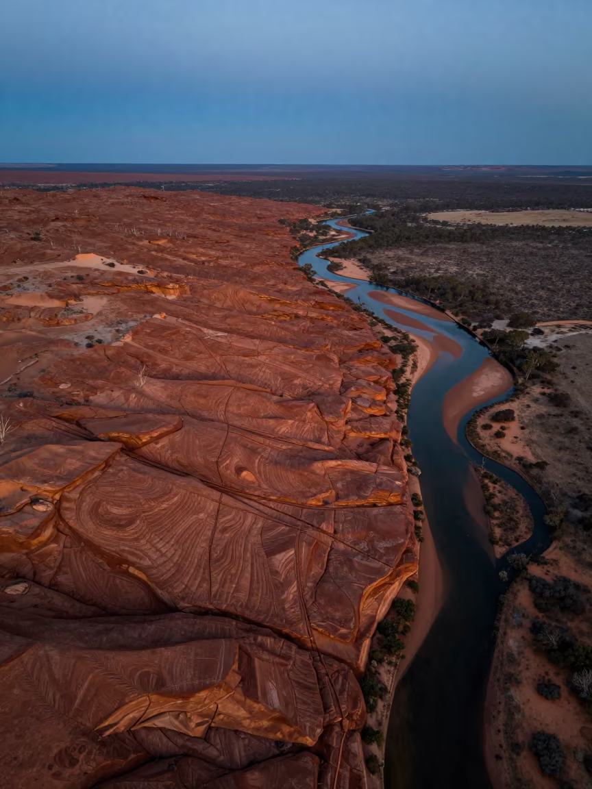
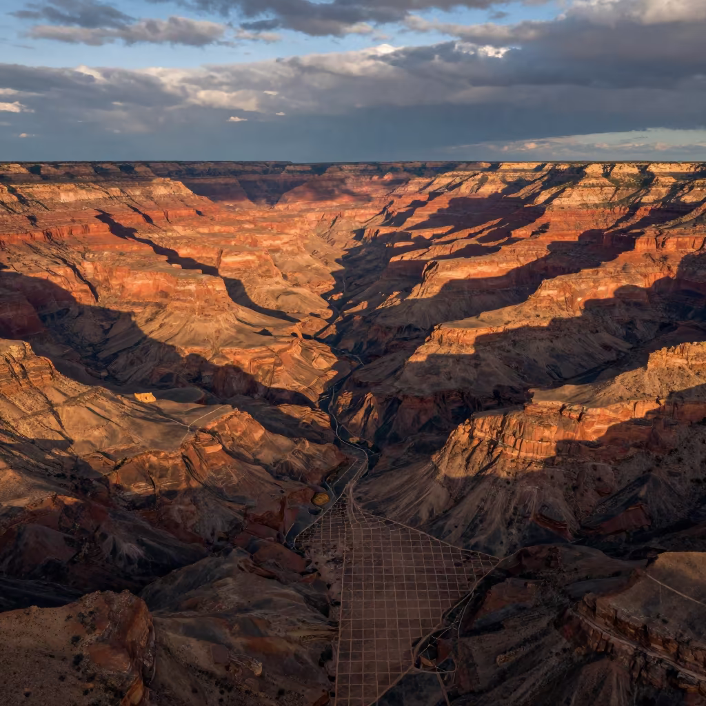
Aerial Canyon Shadow Over Ochre Plateau
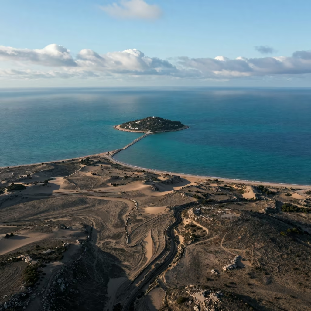
Aerial Island View Turquoise Sea Dunes Marseille
Twilight Silhouette of Arizona Oasis Irrigation
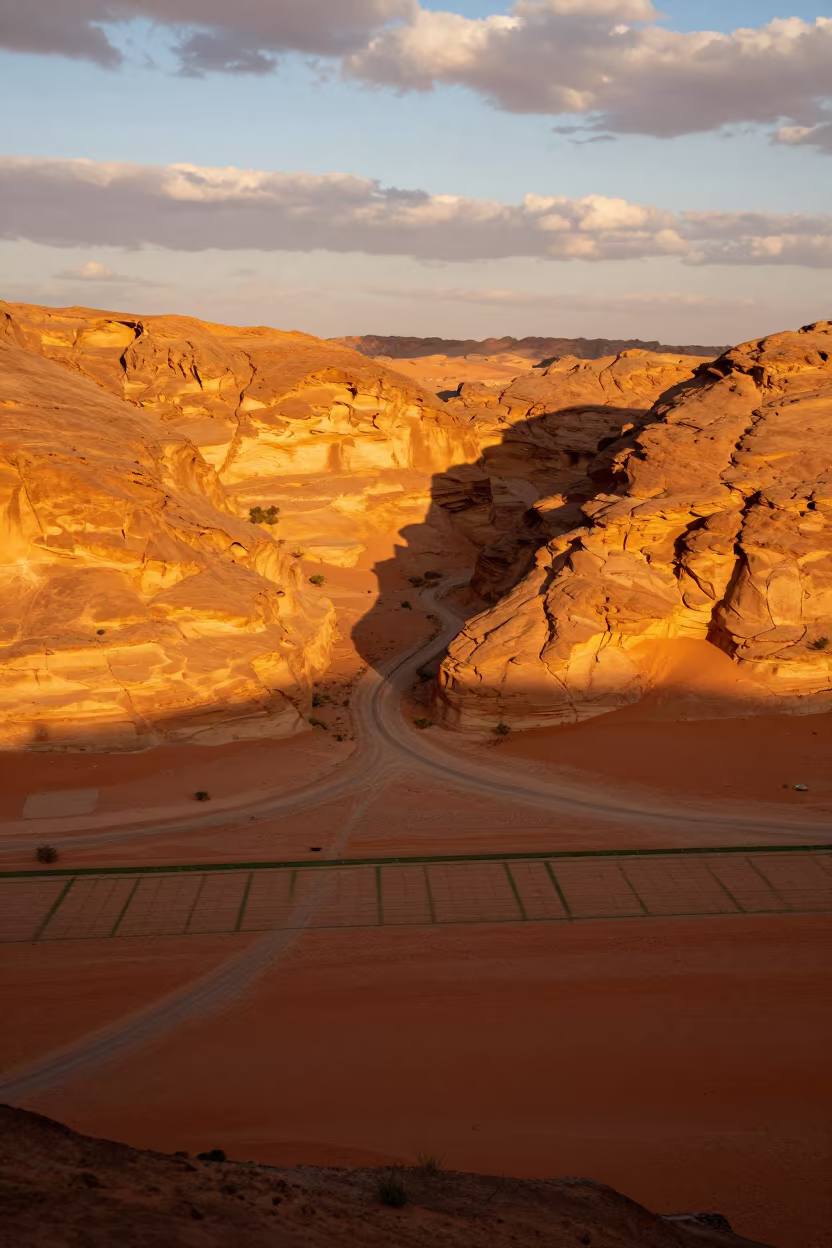
Canyon Shadow Slicing Ochre Plateau Riyadh
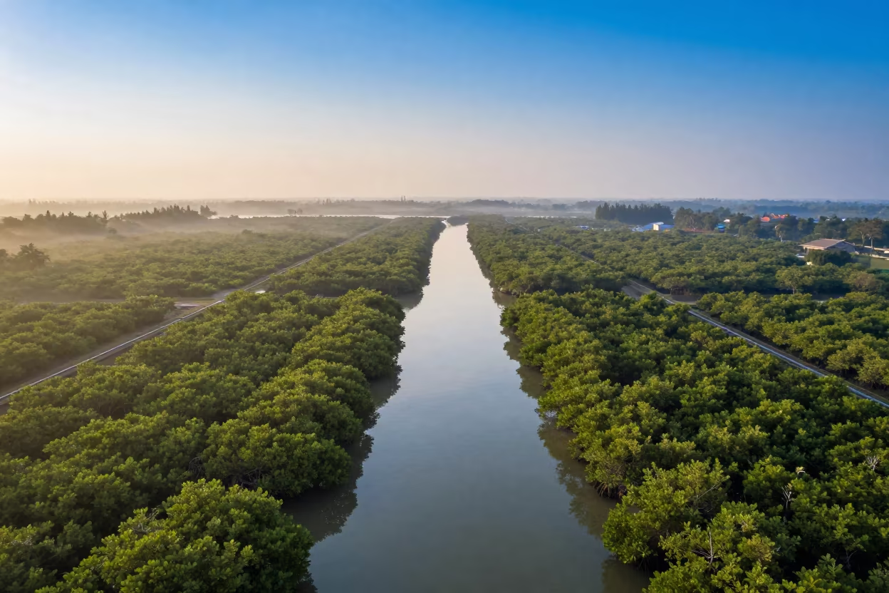
Dawn Mangrove Channels Aerial View Near Jakarta
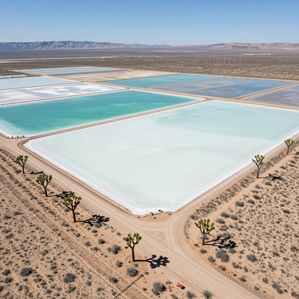
Aerial Desert View Joshua Trees Salt Ponds Utah
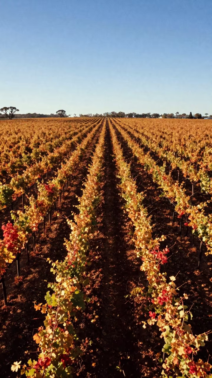
Aerial View of Autumn Vineyard Rows at Sunrise
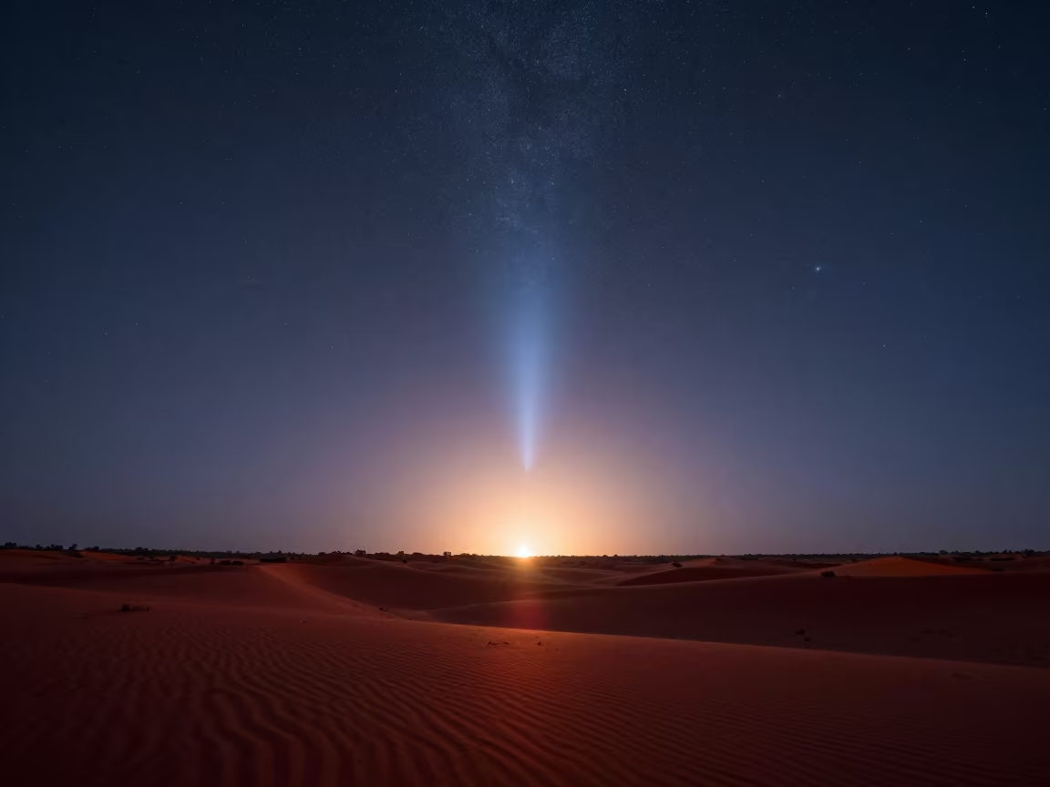
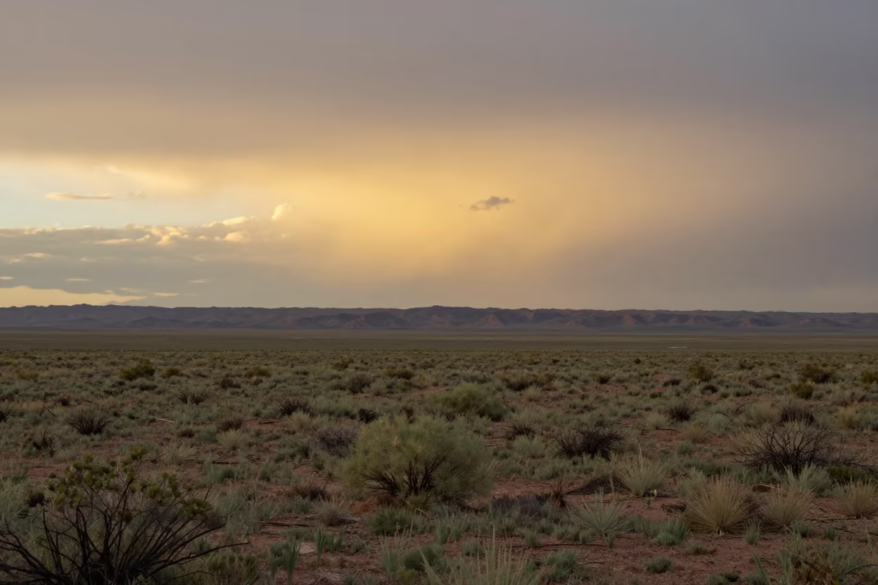
Zodiacal Light Dawn Desert Australia
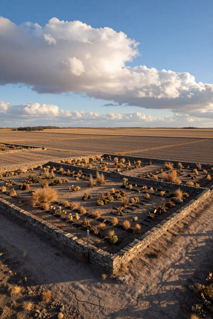
Nebraska Garden Aerial View Sunrise
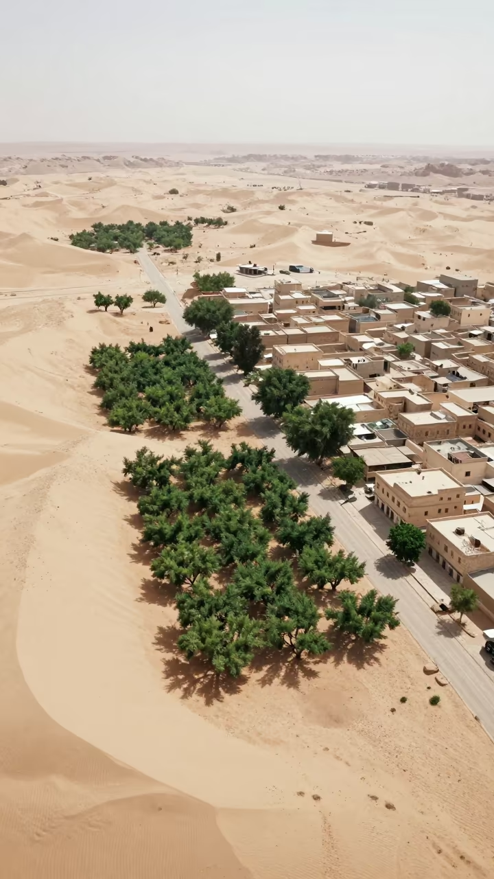
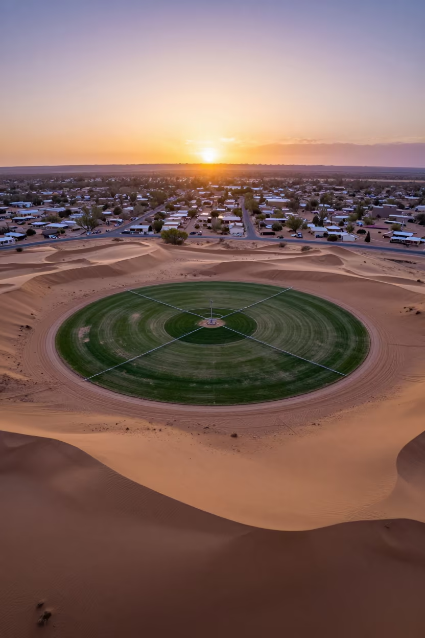
Aerial Oasis Town Amidst Dunes and Irrigation Lines
Aerial Allotment Plots Fremantle After Rain
Aerial Canyon Shadow on Nevada Ochre Plateau
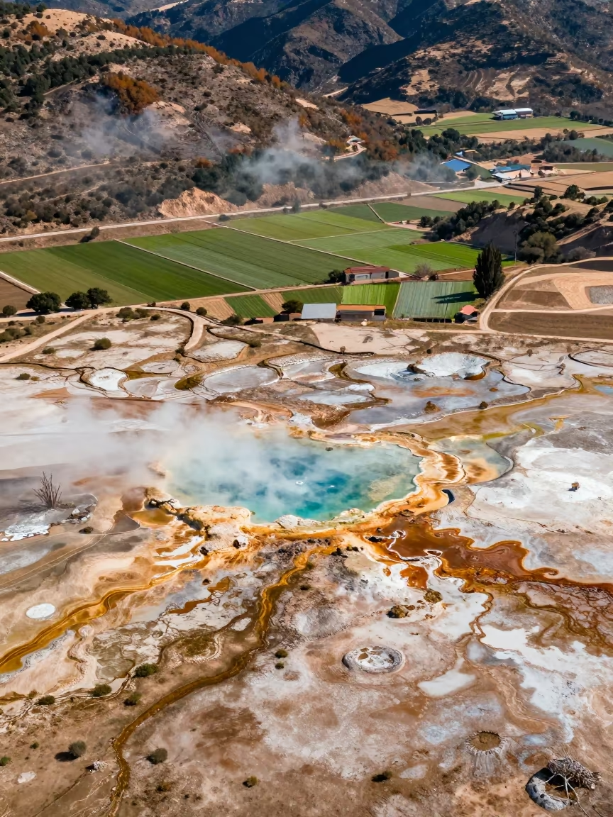
Aerial Geothermal Springs Spain Irrigation Geometry
Winter Desert Switchbacks Drone View Mexico
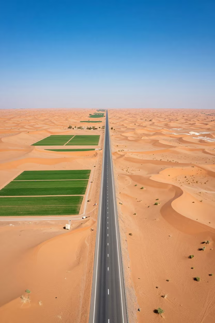
Saudi Desert Highway Cutting Through Red Dunes
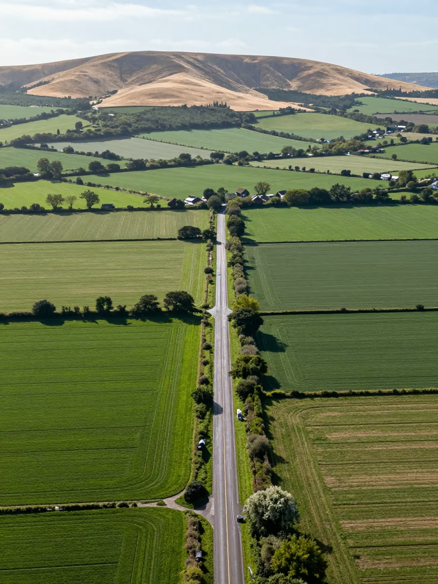
Aerial View of Country Lanes and Irrigation Fields
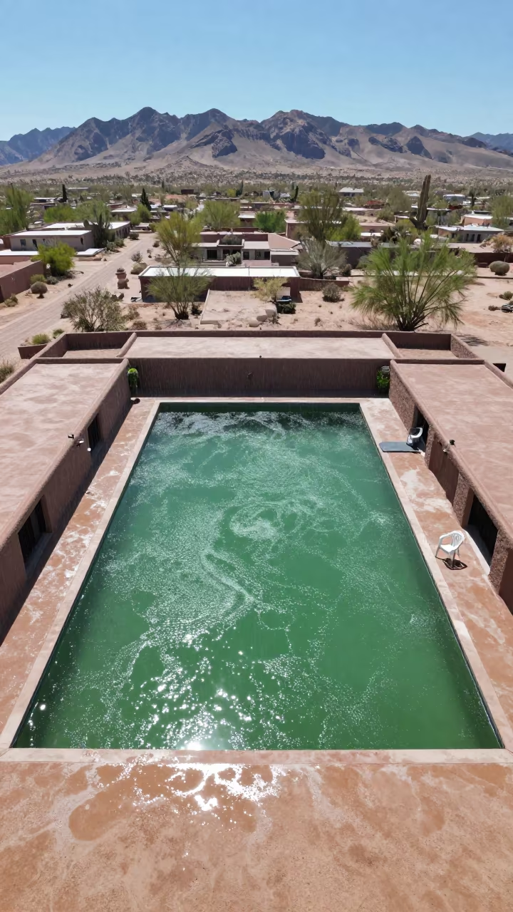
Jade Lagoon Above Arizona Rooftops Noon
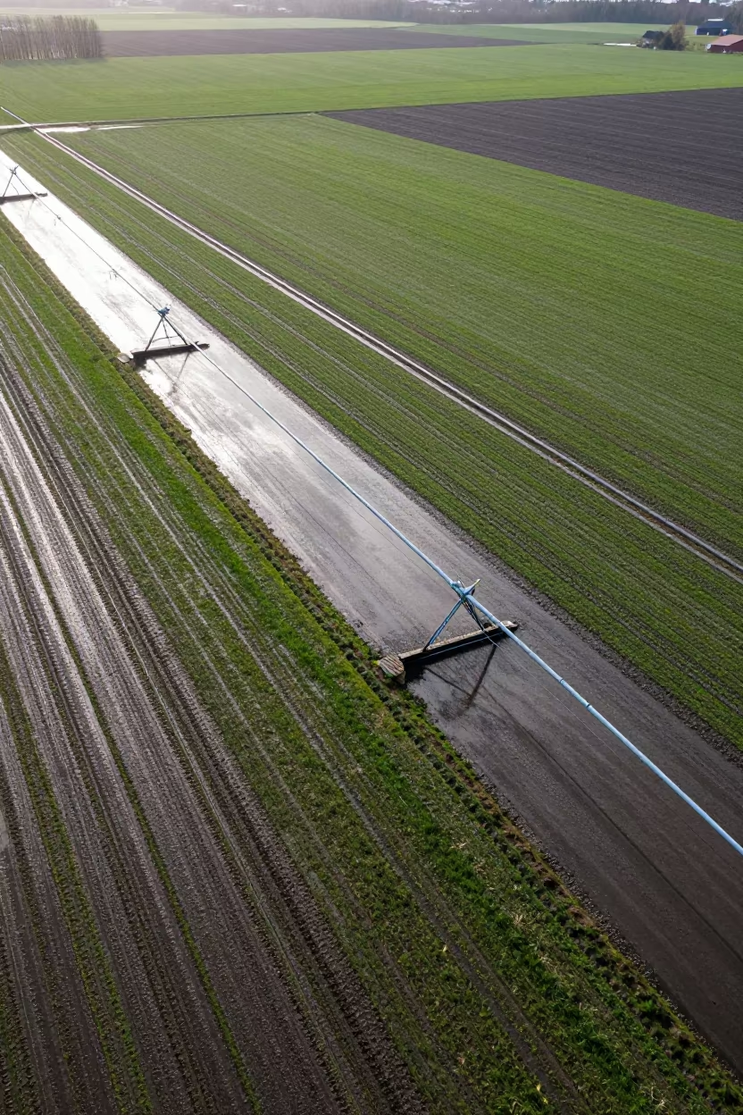
Aerial View of Swedish Irrigation After Rain
Aerial Limestone Karst Irrigation Geometry Kismayo
Desert Oasis Tile Sand Transition Surreal Aerial View
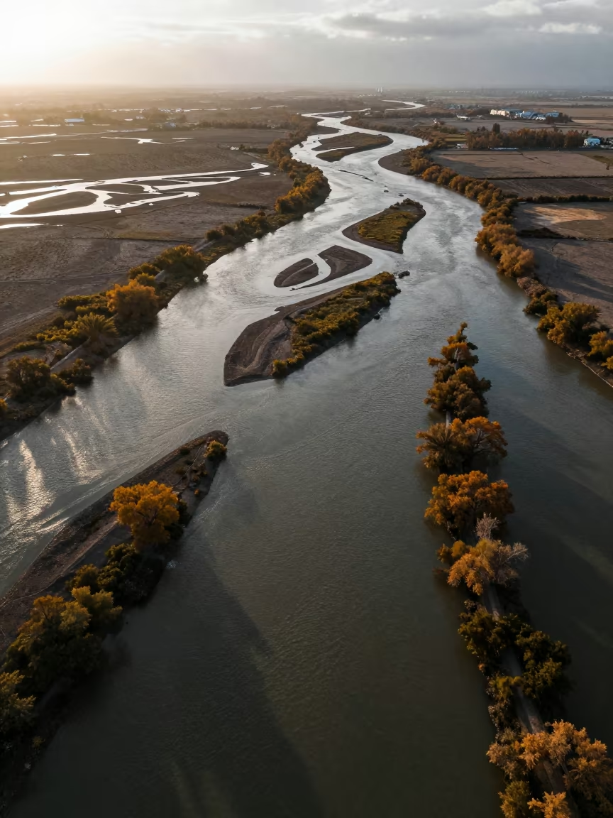
Aerial Sunset Over Salt Ponds and River Islands
Dry River Bed Veins Aerial View
Aerial Turquoise Waves Breaking on White Sand
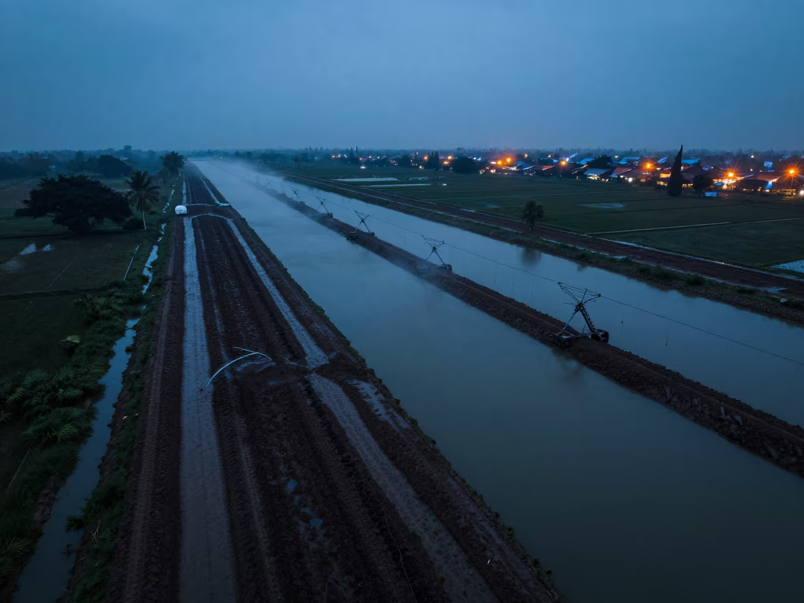
Surabaya Irrigation Canals Blue Hour Drone View
Circumhorizontal Arc Over Arizona Plain
Comments