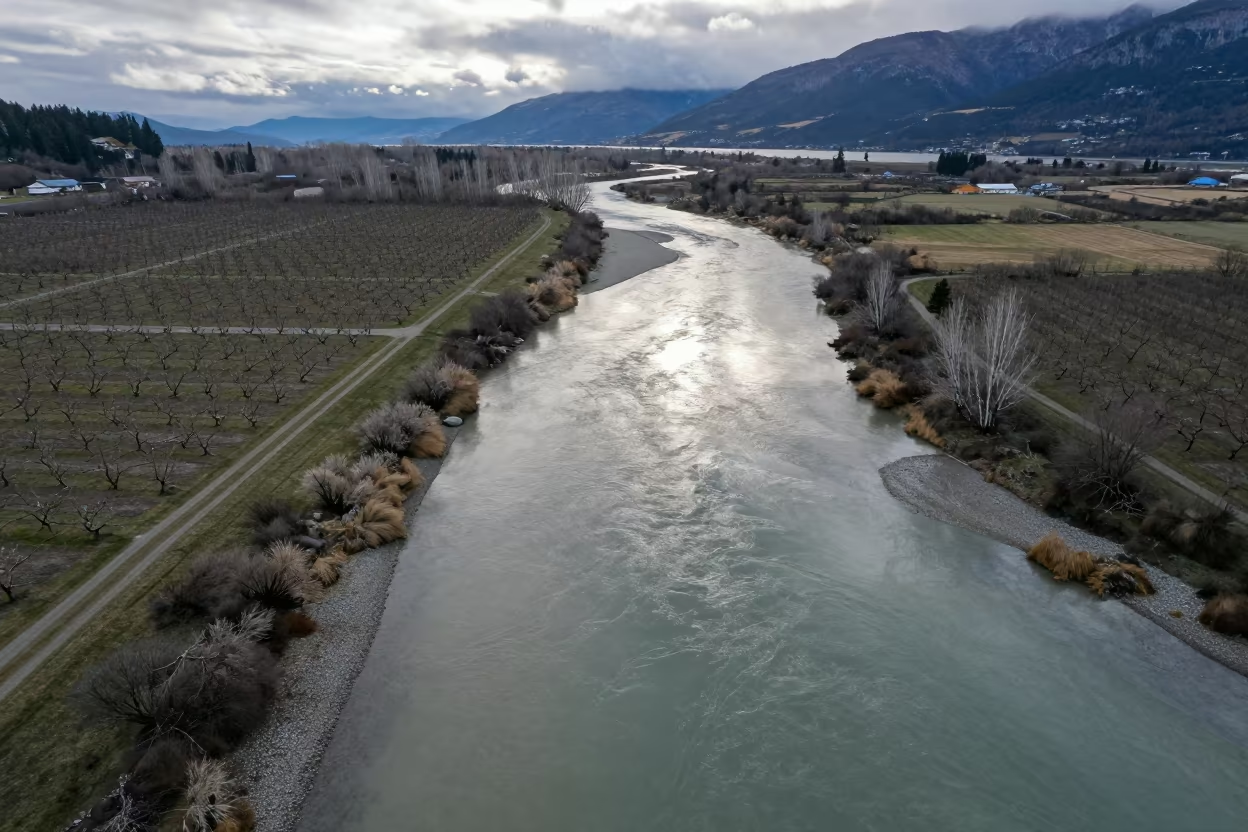
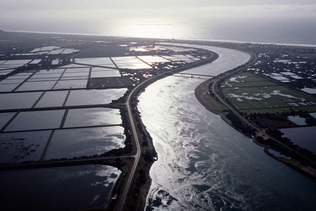
Aerial River Confluence in British Columbia Orchards
by Eli Cain
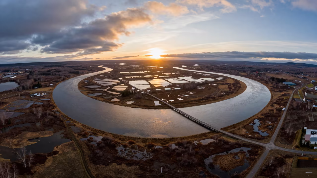
Muddy brown water merges with clear stream currents in a sharp zigzag line across the frame, dividing the river into distinct zones. Below, geometric orchard blocks and irrigation lines stretch across the valley floor in a patchwork of dormant brown and muted green. Low clouds hang heavy over the landscape, with bright patches breaking through to illuminate the wet soil and water surfaces. The late morning light reflects off the river, creating a shimmering path that contrasts with the matte textures of the dormant vegetation. The boundary where the two waters meet remains a crisp, winding edge, separating the turbid flow from the transparent stream against the backdrop of the structured agricultural land.
Free to download. CDN hosting requires a link back to this page. Terms
Similar Images
Aerial View of Braided River Confluence Mixing Muddy Water
Aerial View River Meets Ocean Oregon Swirls
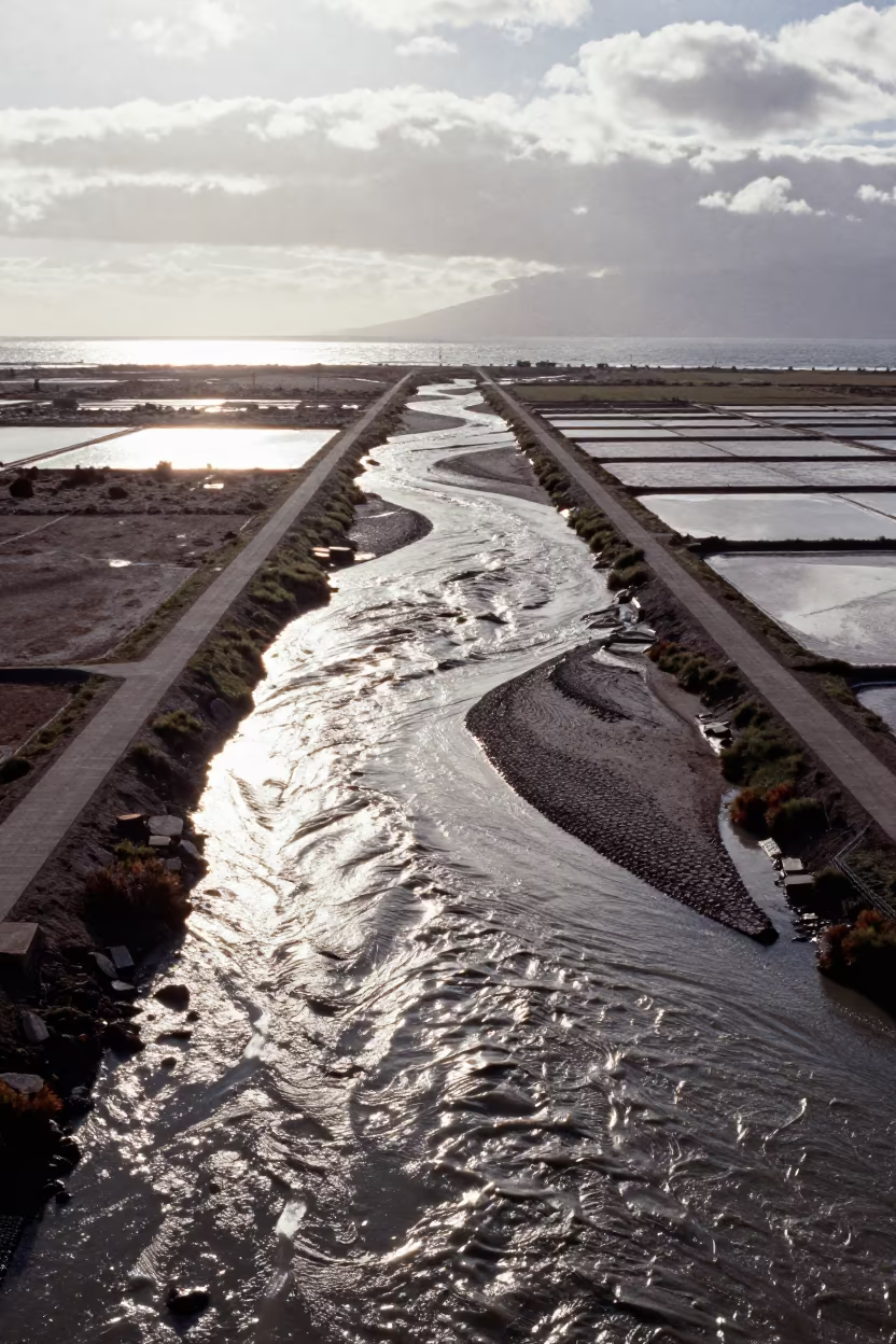
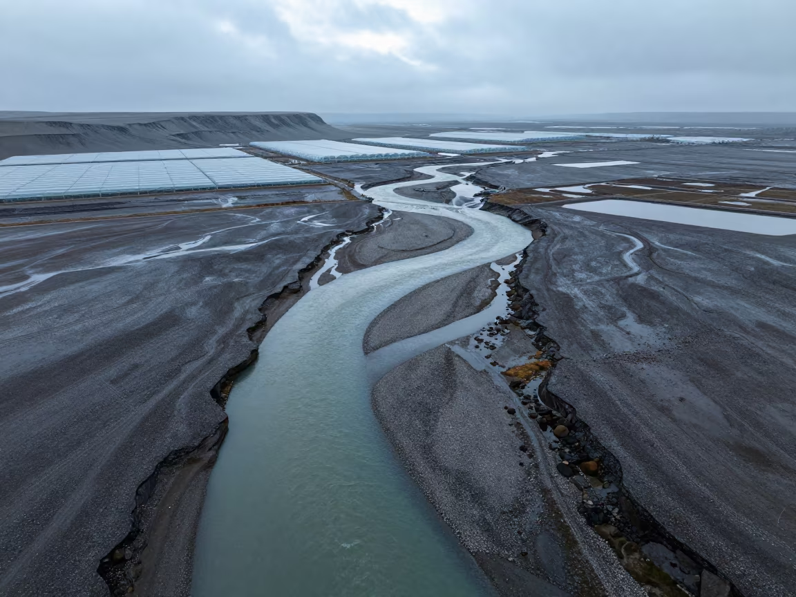
Aerial view of irrigation geometry and steam
Aerial River Delta at Dawn Near Cajamarca
Aerial River Islands Eritrea Mist

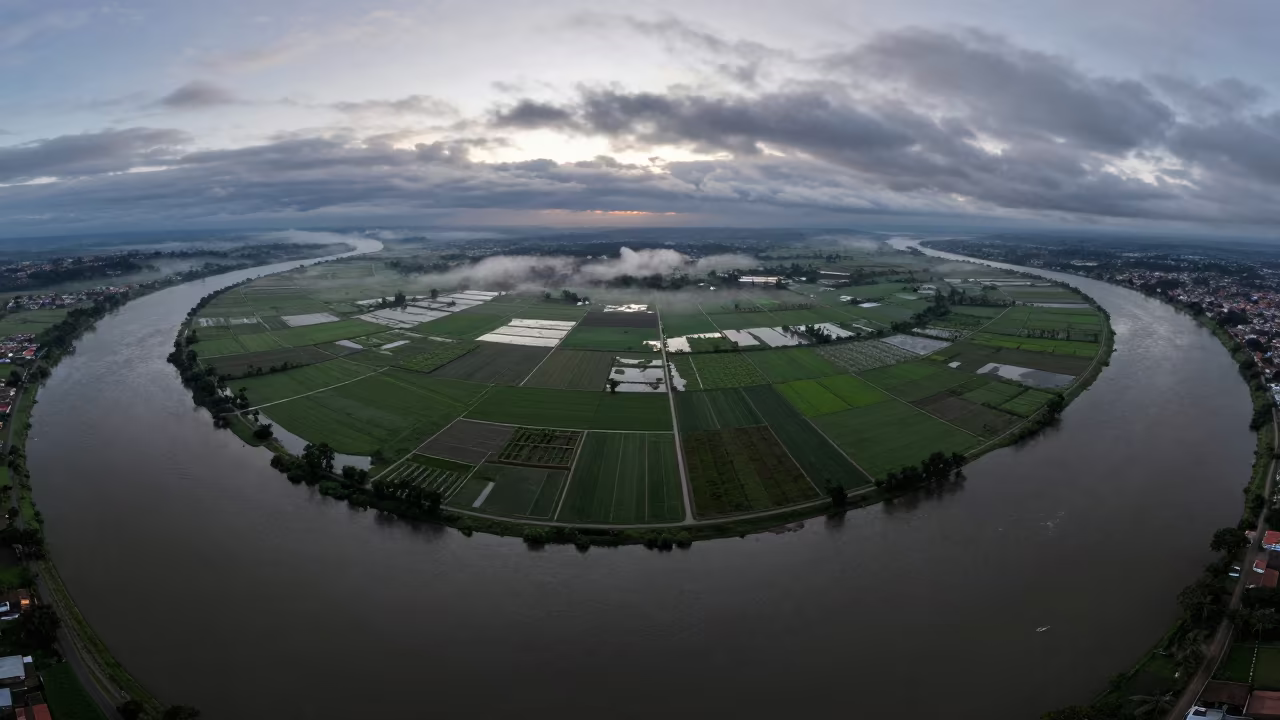
Aerial River Confluence Muddy Clear Waters Rosario
Aerial Braided Delta Meeting Sea at Twilight
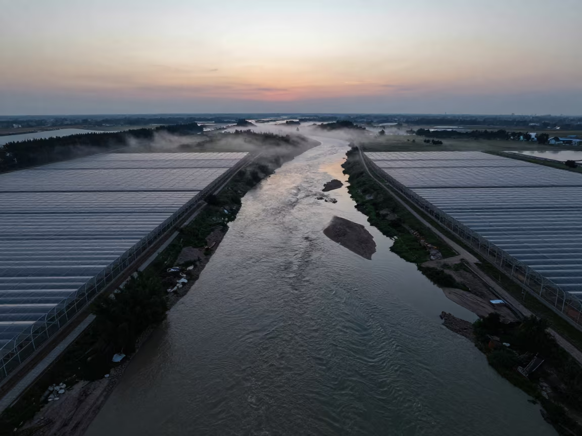
Twilight River Confluence Over Çorlu Greenhouse Grids
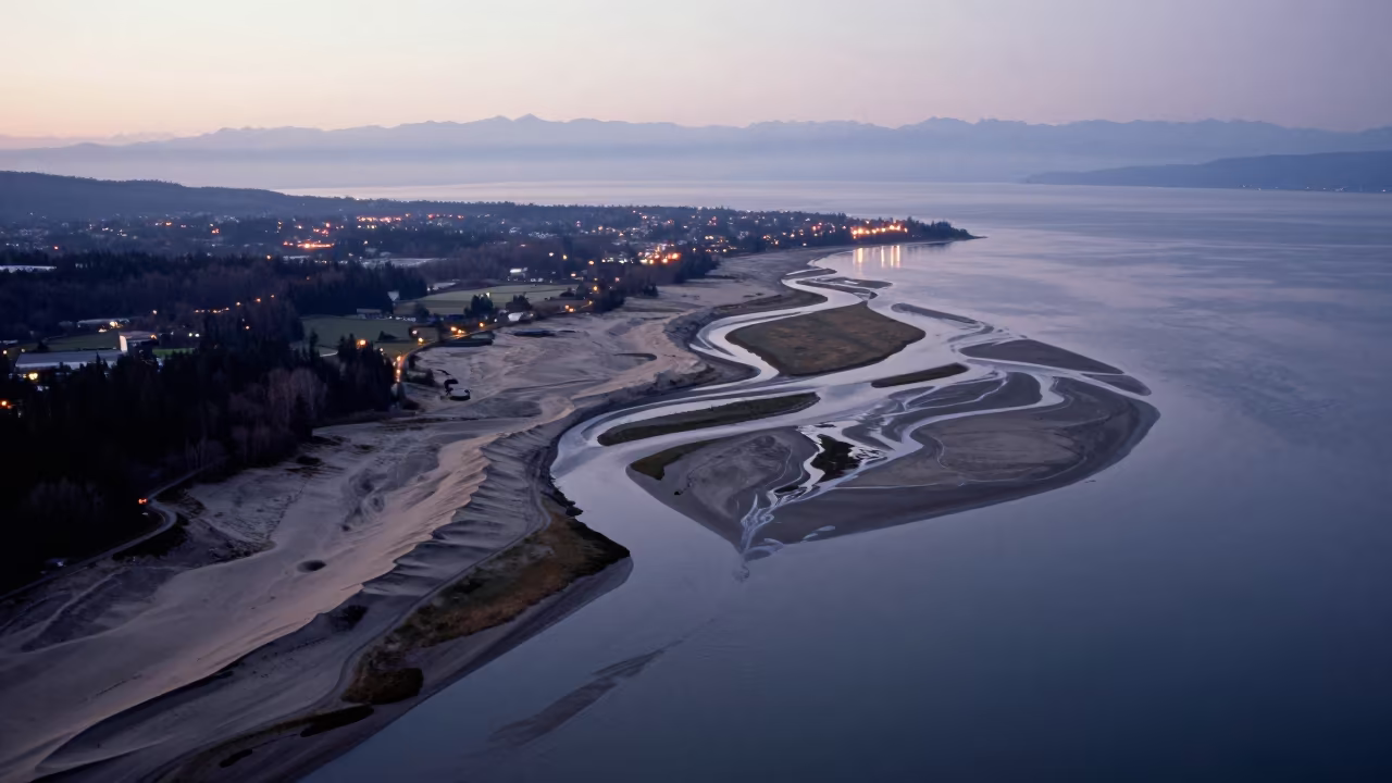
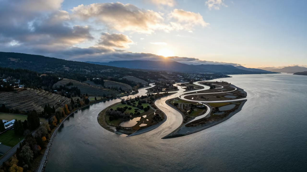
Honeyed Evening Aerial View of Vancouver Delta Channels
Aerial River Confluence Mixing Muddy and Clear Waters
Aerial River Confluences Ibagué Dawn Rain
Aerial View of Kamchatka River Delta at Sunset
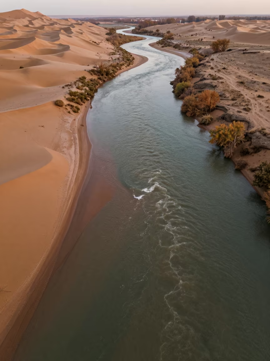
Aerial River Confluence in Autumn Dunes Near Van
Braided River Glacial Silt Aerial View Cali
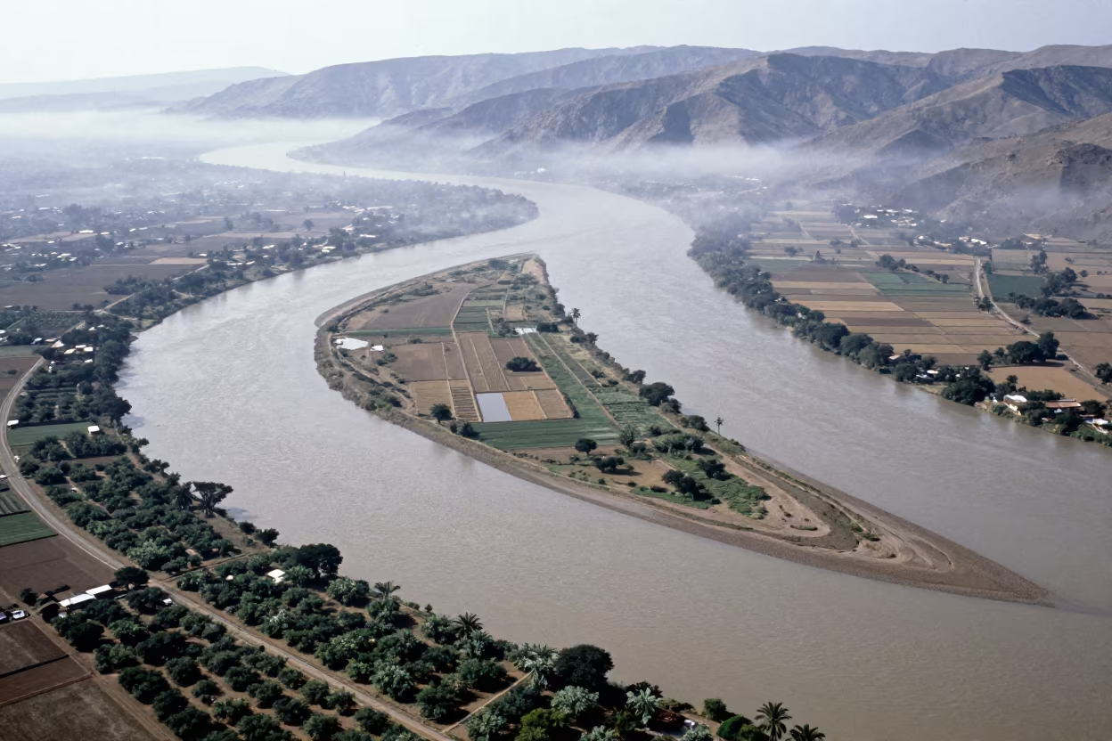
Aerial River Delta Braided Channels Cabimas
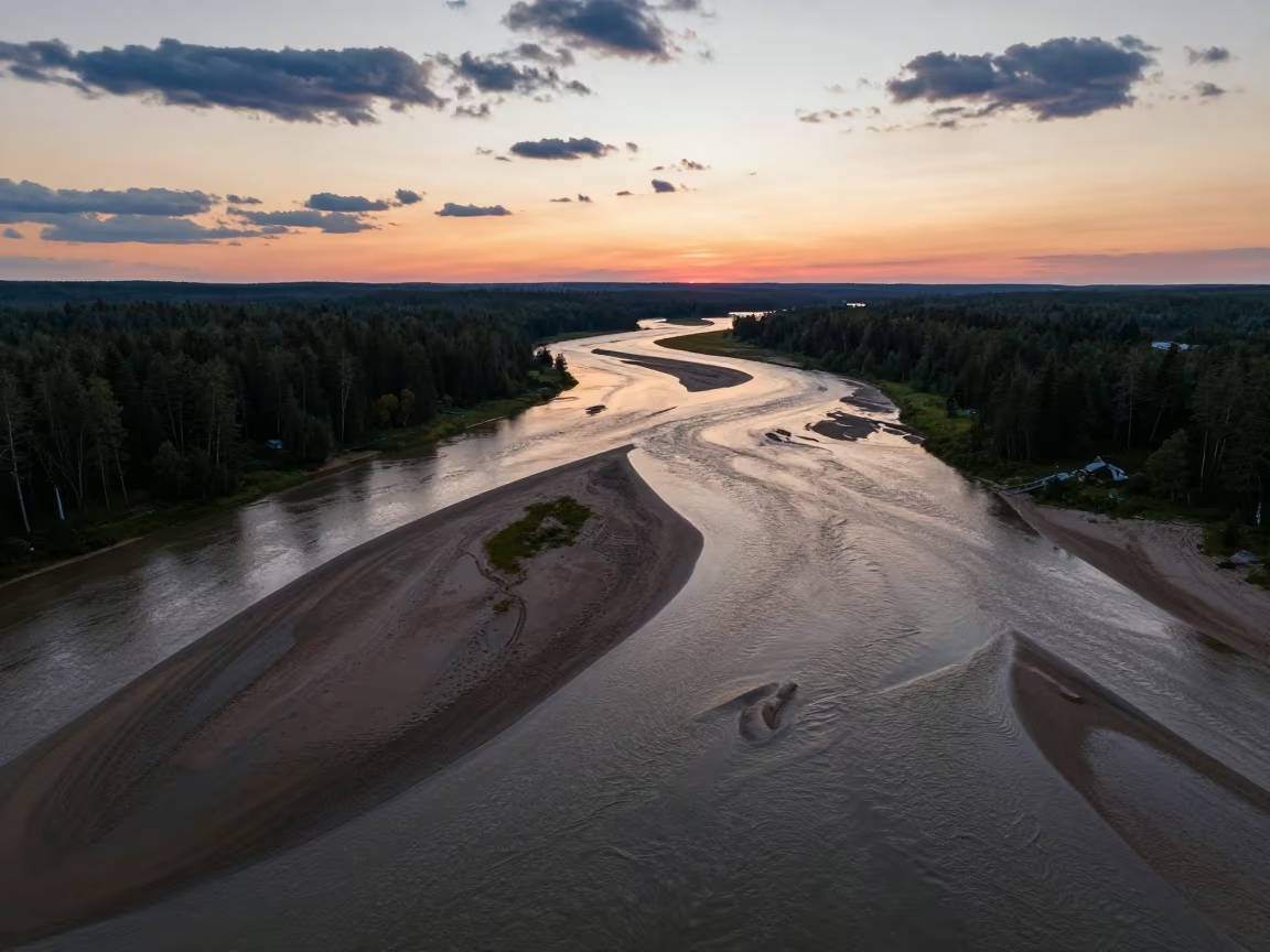
Aerial Sunset River Bend Maine
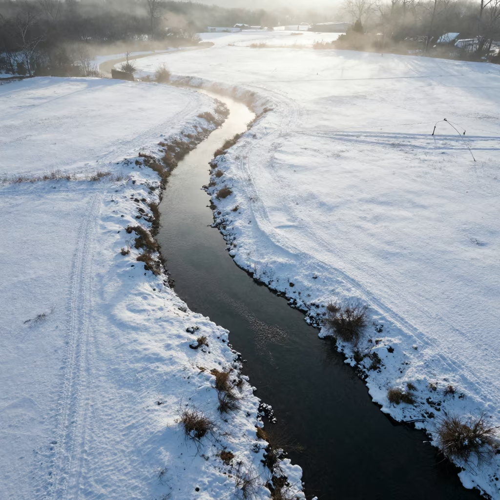
Aerial Creek Winding Through Snowy Meadow
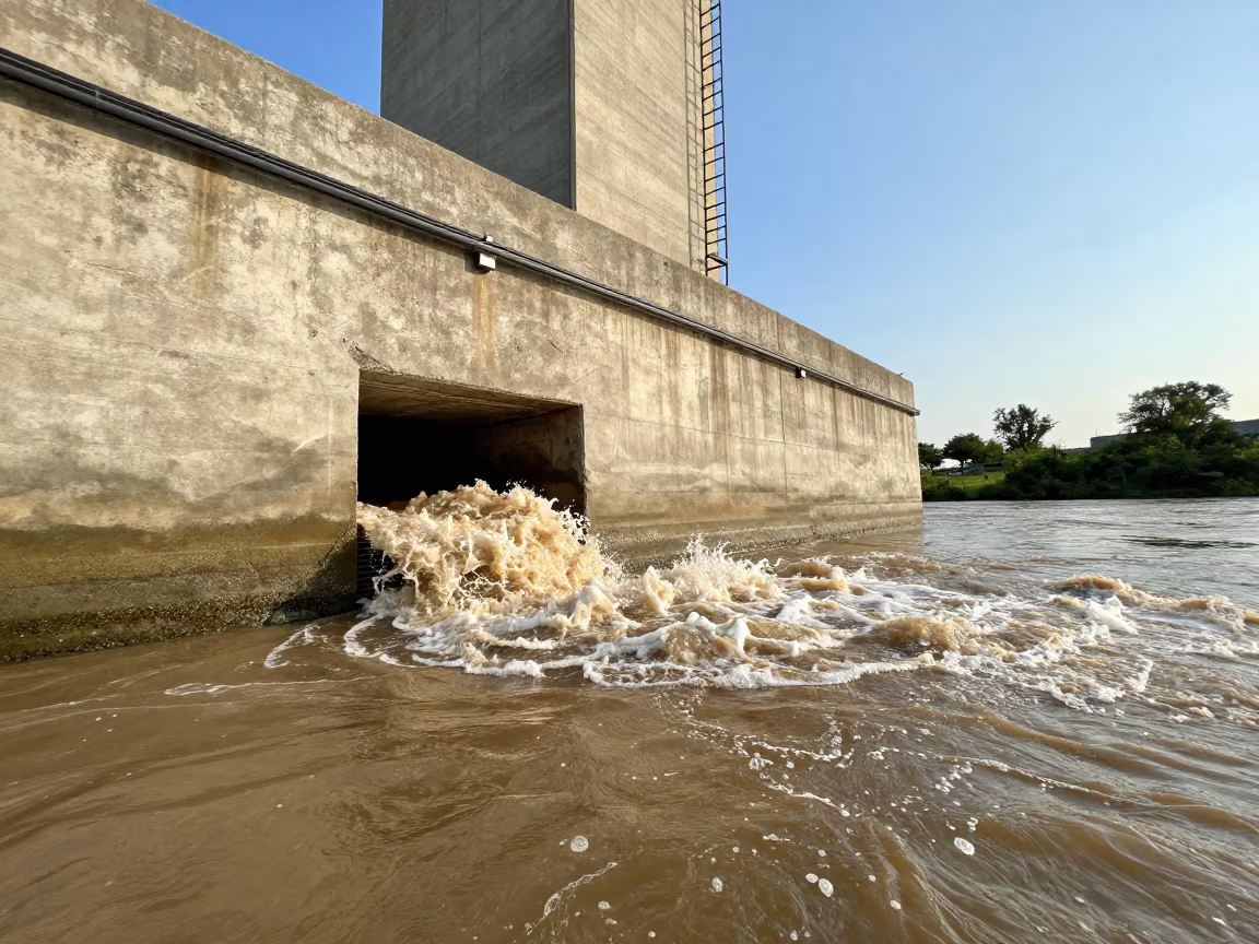
Storm Drain Outfall Erupting Into Brown River
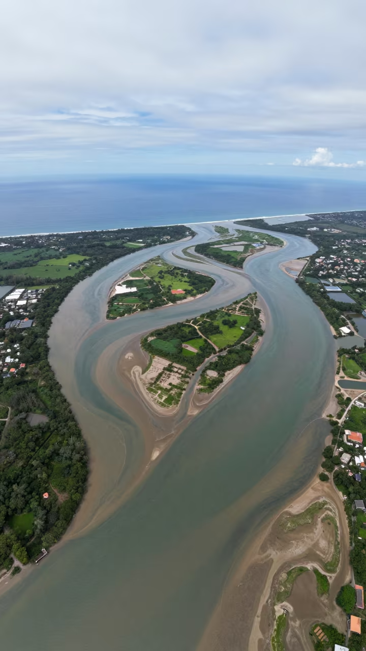
Aerial Braided Delta Meets Open Sea Philippines
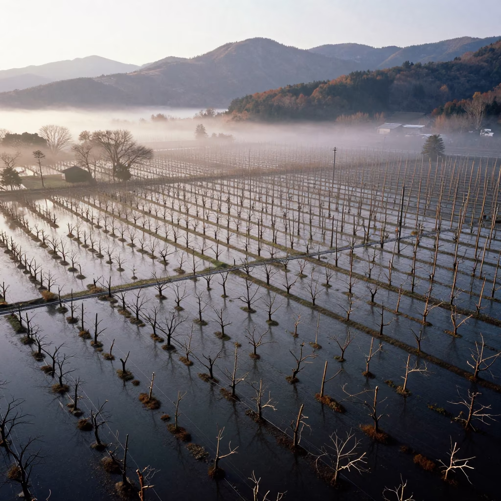
Drone View Flooded Autumn Japanese Orchard
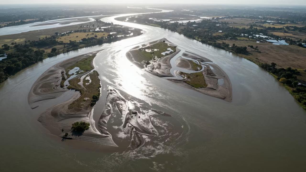
Aerial View of Braided River Delta Channels
Aerial Dawn River Meets Ocean Muddy Swirls
Aerial River Through Sichuan Orchards

Copper Light Reflecting Palms on British Columbia Canal
Braided Floodwater Aerial View Near Tamale
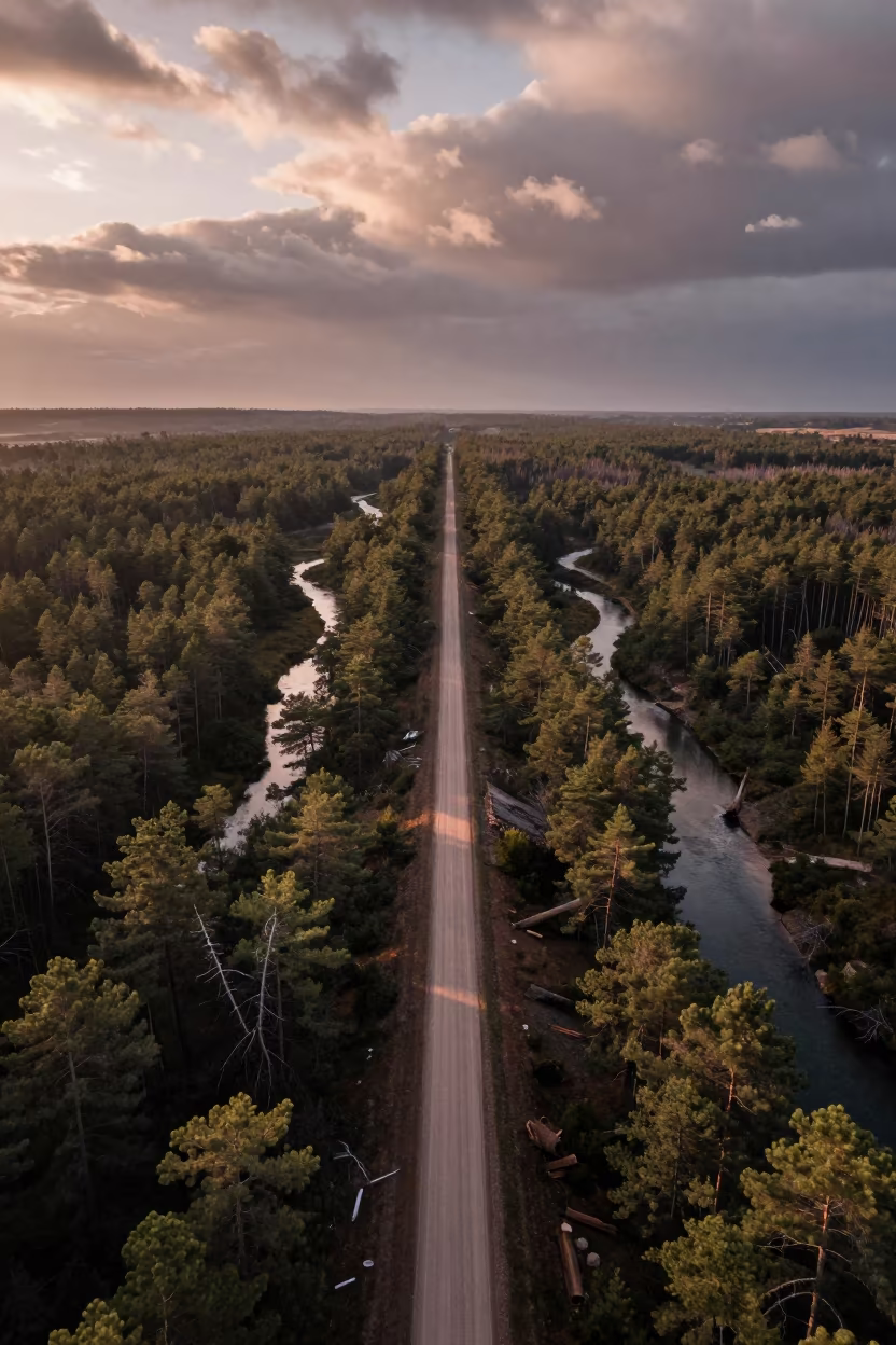
Aerial View of Logging Road and Braided River
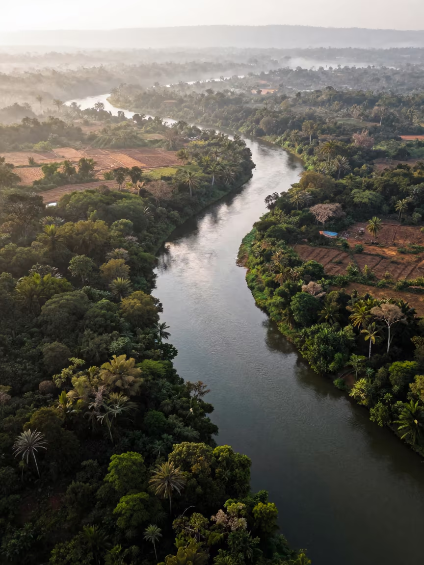
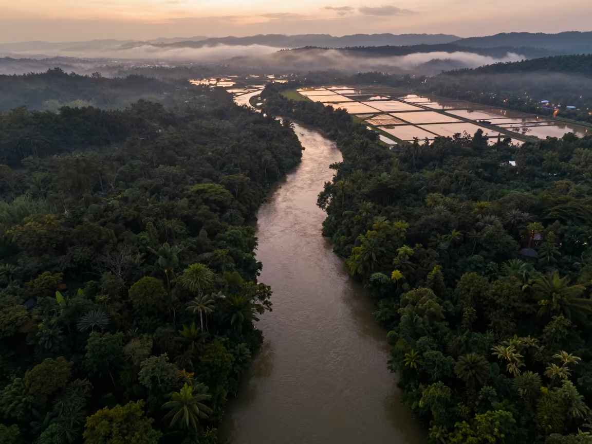
Aerial View of Serpentine River Through Jungle Canopy
Aerial Delta Meets Sea at Vancouver Dawn
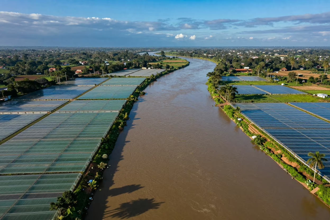
Burundi Greenhouse Grids River Confluence
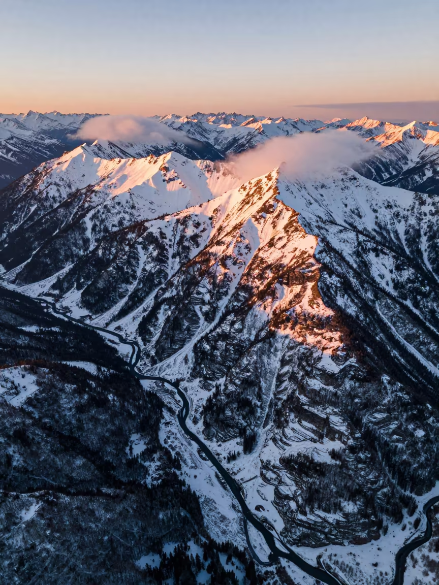
Golden Hour Aerial View of BC Snow Mountains
Aerial Jungle River Disappearing Under Canopy
Aerial River Green Marsh Greek Islands
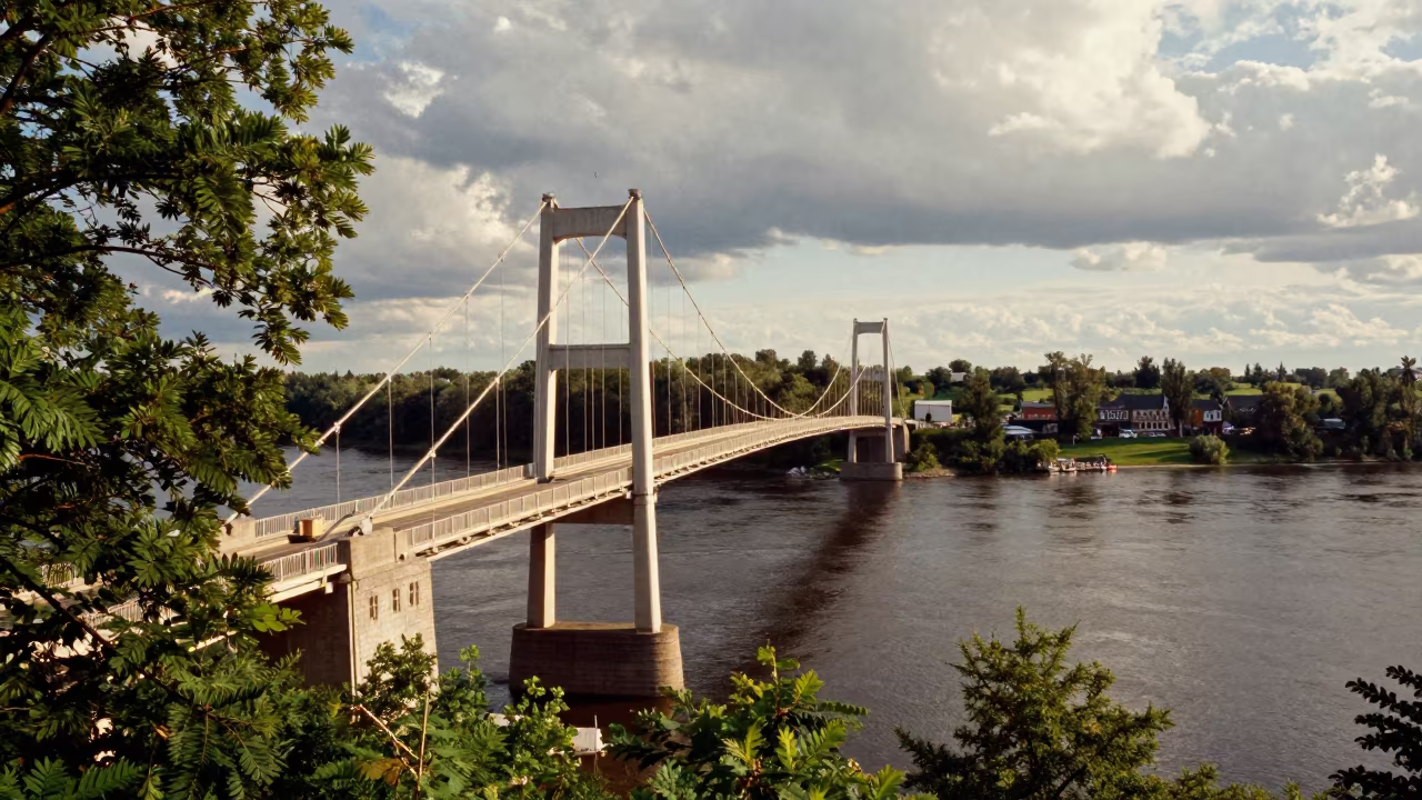
Aerial Bridge View Over River With Dappled Light
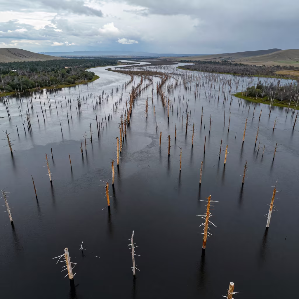
Aerial View of Flooded Forest Trunks in Mongolia
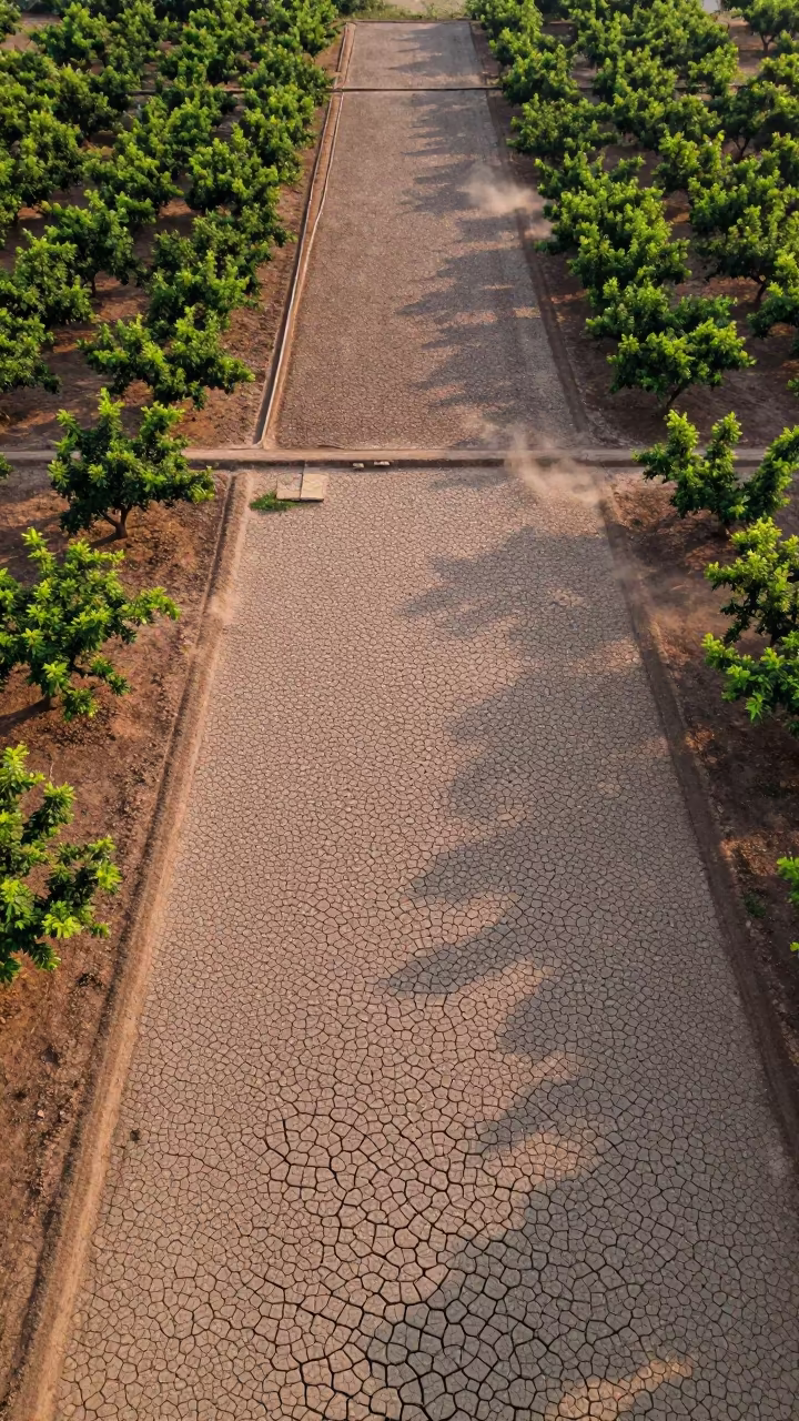
Cracked Mud Patterns Over Cambodian Orchards
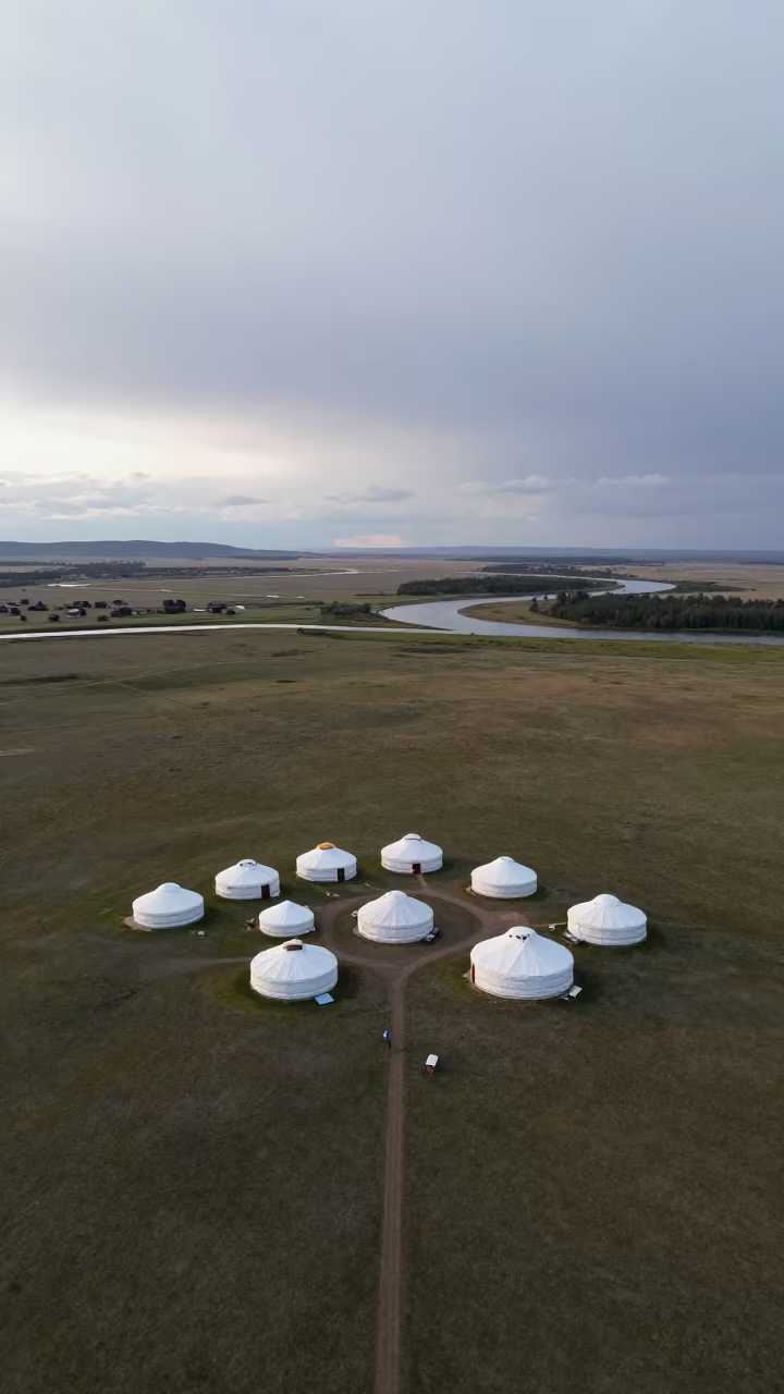
Aerial Nomadic Camp Near Victoria River
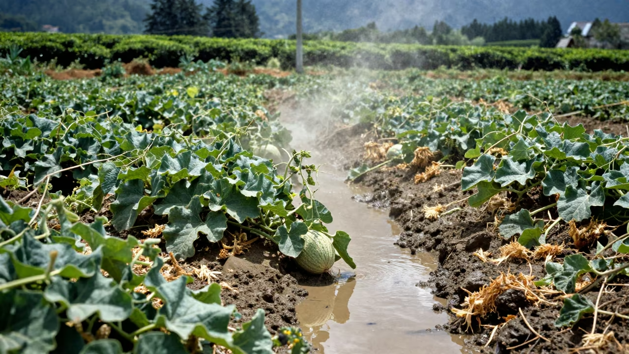
Irrigation Pool Amidst Melon Vines
Aerial River Delta Branching Into Sea Near Cape Town
Comments