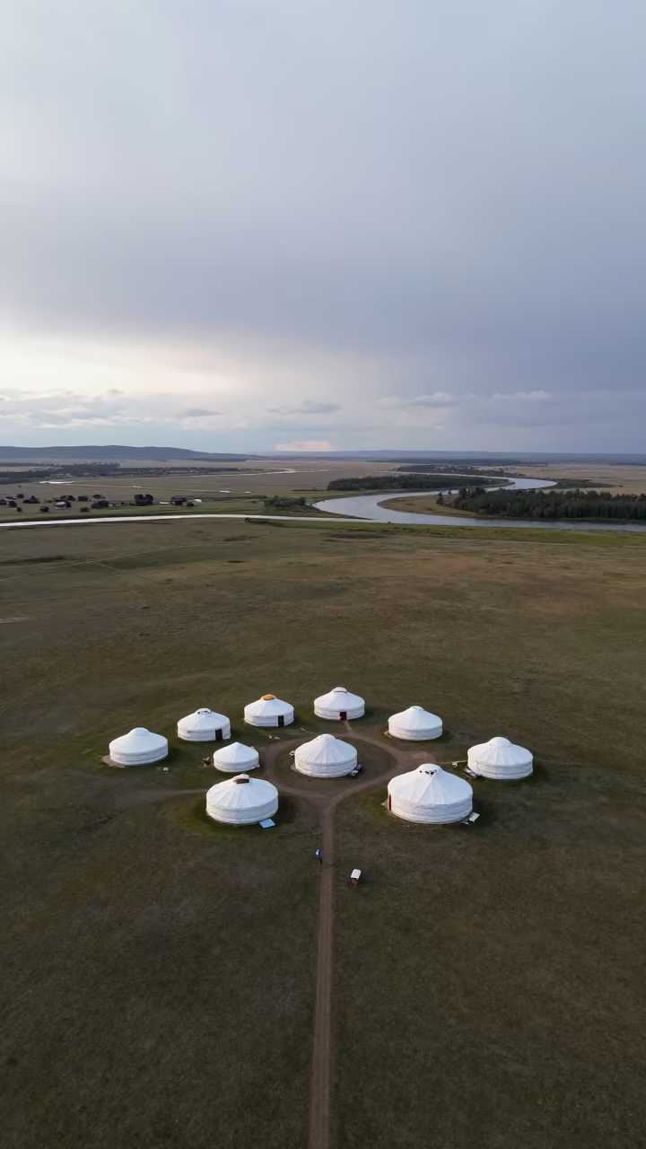
Aerial Nomadic Camp Near Victoria River
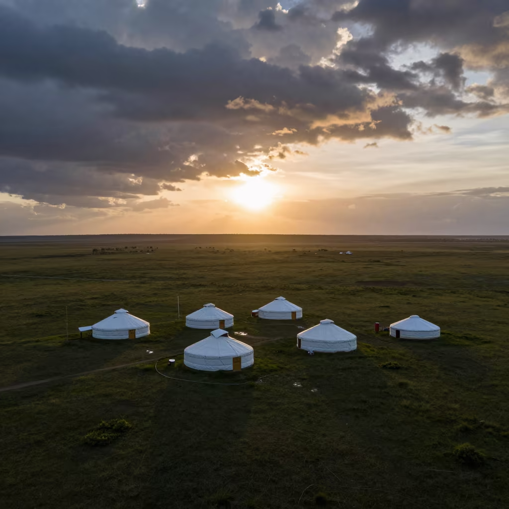
Soft, overcast light flattens the landscape into a palette of muted greens and greys. Below, white circular yurts cluster on a vast expanse of open grassland, their dark bases against the pale, damp earth. The terrain undulates gently, leading toward distant, sinuous river meanders that cut through the valley like pale ribbons. Wet patches of mud reflect the diffuse sky, while scattered puddles dot the foreground. The composition remains stark and geometric, showing the orderly arrangement of the tents against the wild, sweeping curves of the water. One dark shadow falls across the northern side of the largest yurt, at the base of the structures in the early morning stillness.
Free to download. CDN hosting requires a link back to this page. Terms
Similar Images
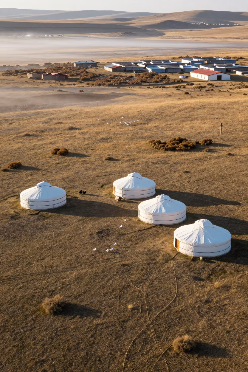
Aerial Nomadic Camp Yurts Grassland Late Afternoon
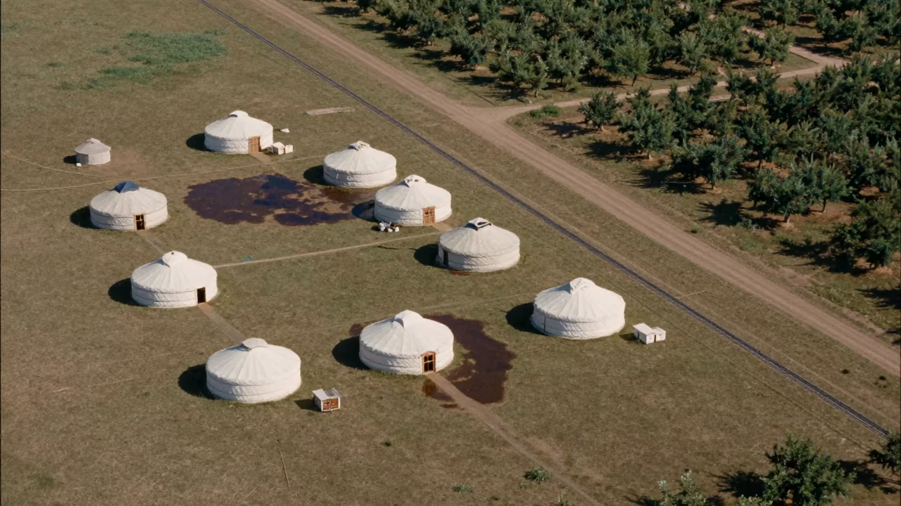
Aerial View of Nomadic Yurts on Grassland
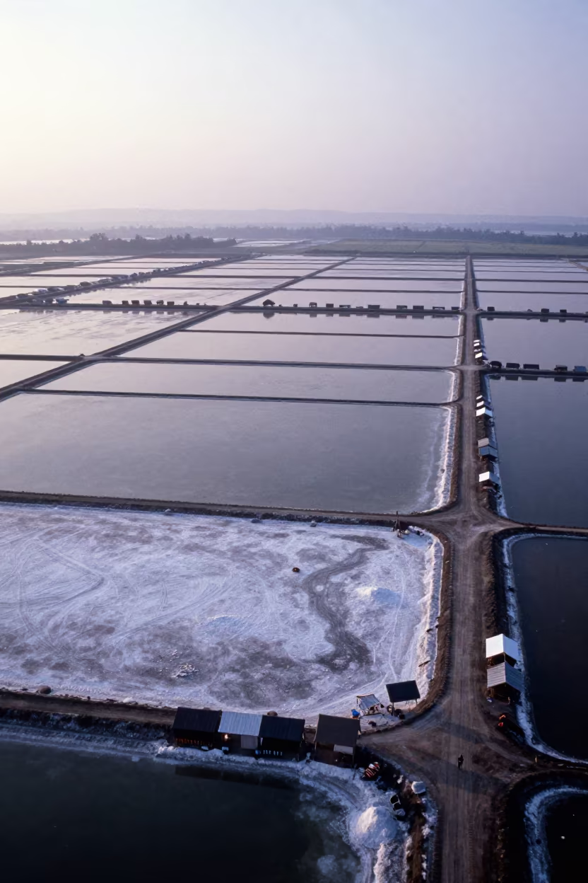
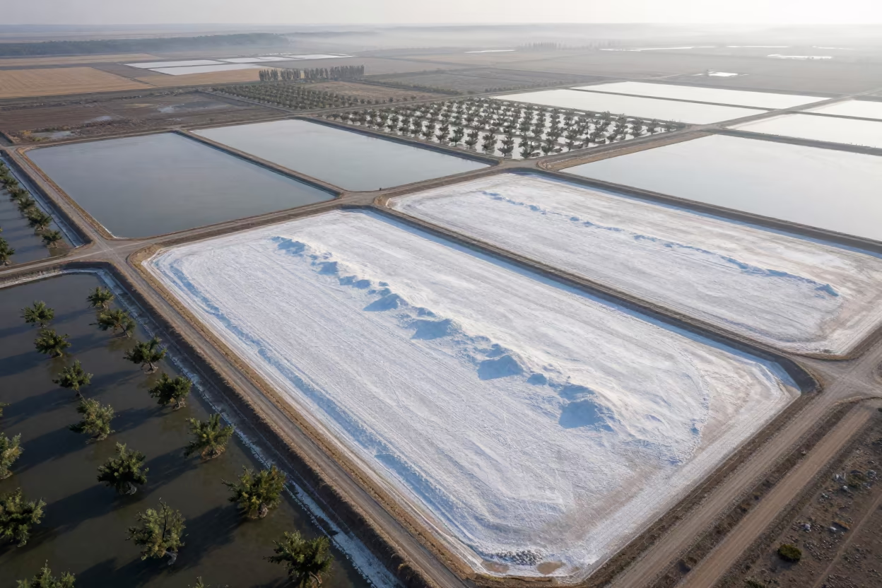
Aerial View of Nomadic Camp on Salt Ponds
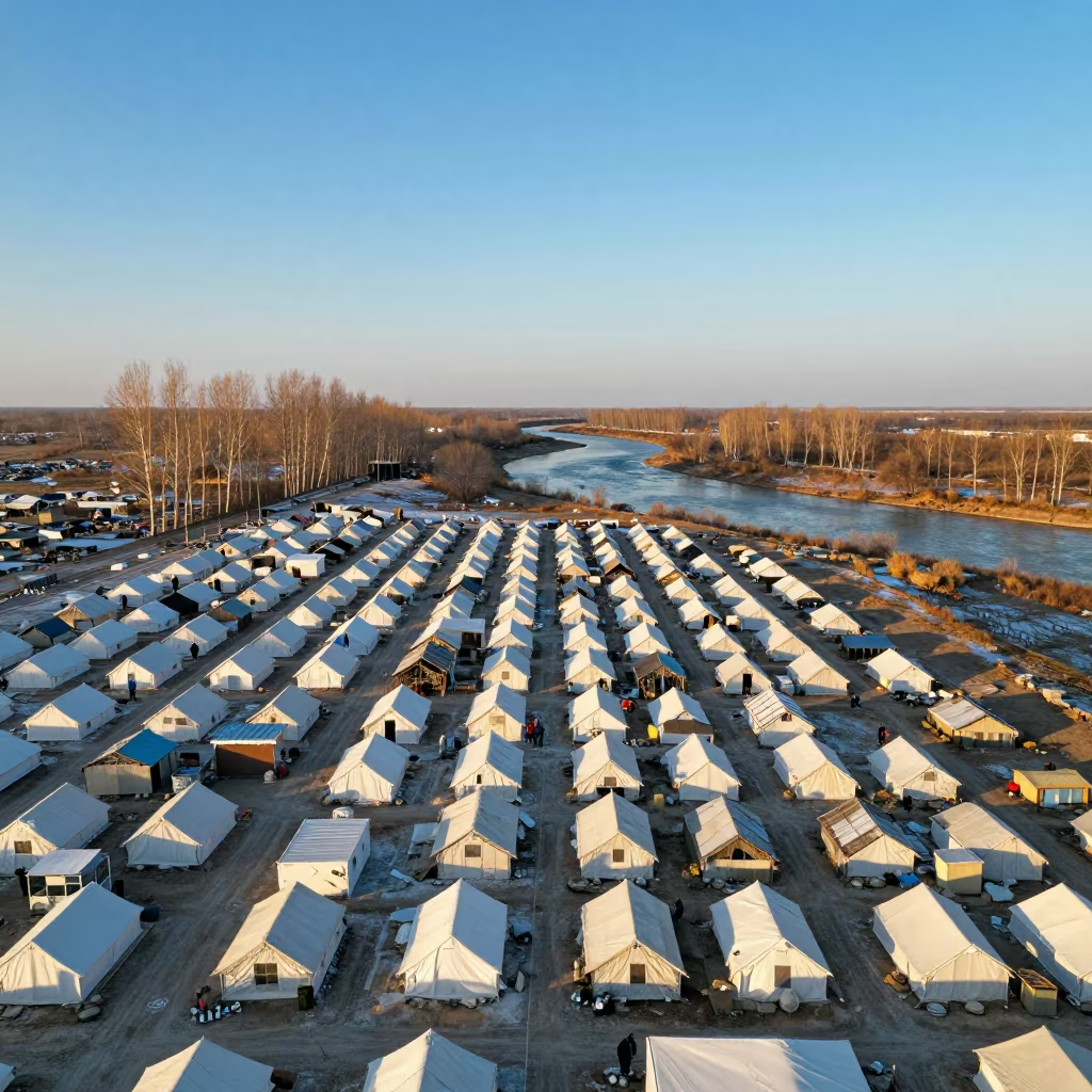
Winter Sunset Aerial View of Refugee Camp Grid
Silhouetted Yurts at Sunset in Venezuelan Grasslands
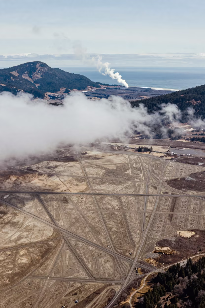
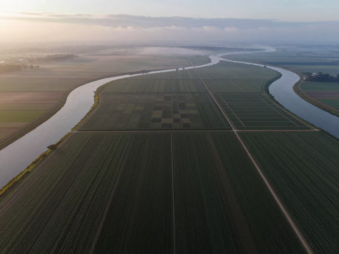
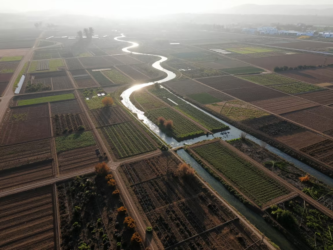
Aerial view of irrigation geometry and steam
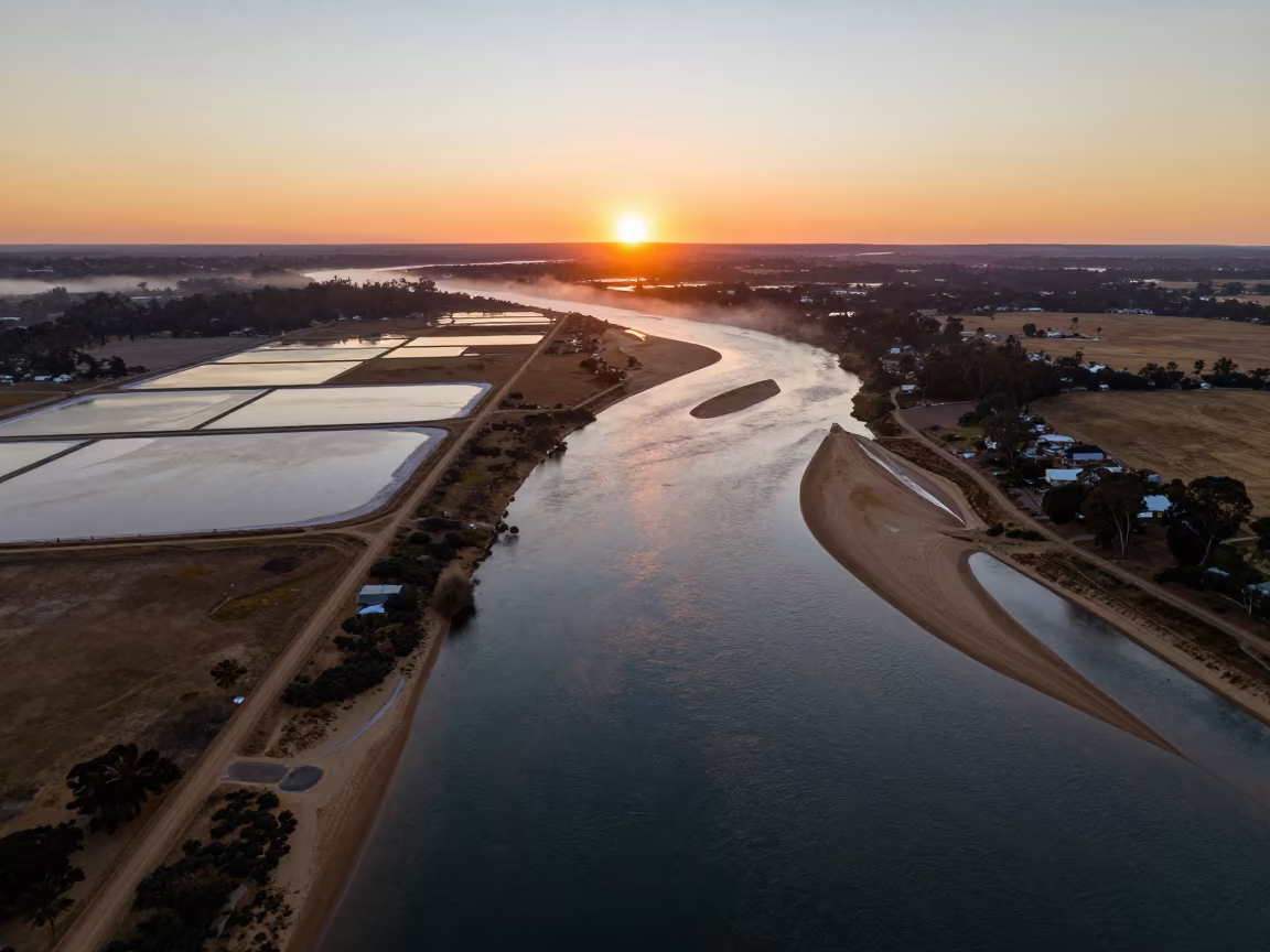
Aerial Sunset Over Salt Ponds and River Islands
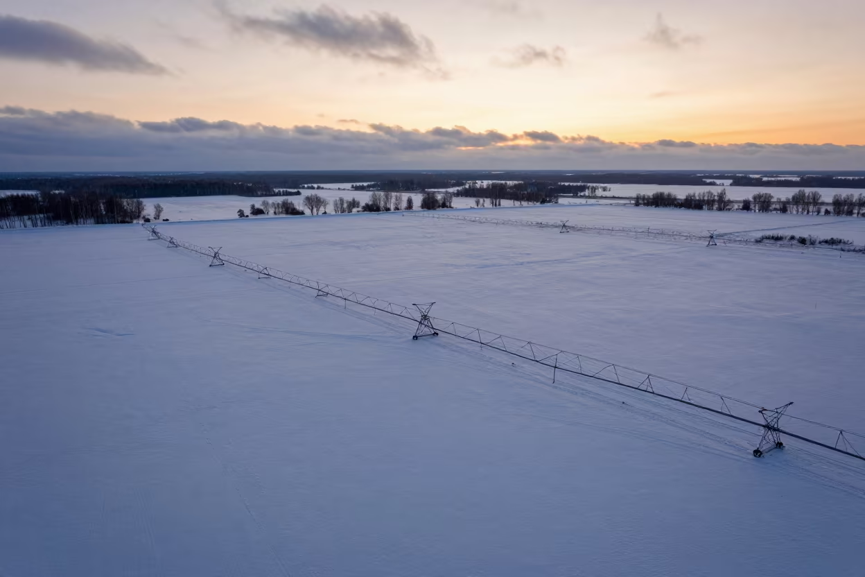
Aerial Winter Sunset Over Russian Irrigation Fields
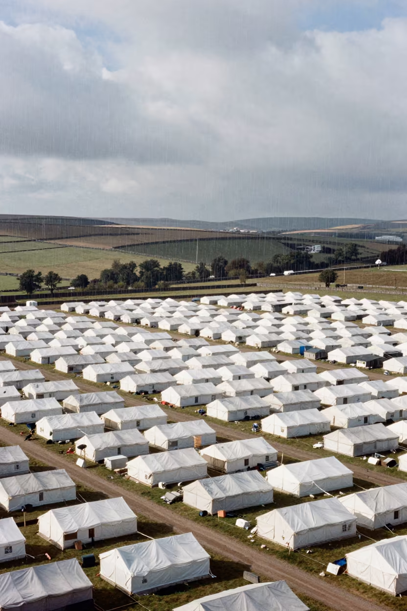
Aerial View of Refugee Camp with Upward Rain
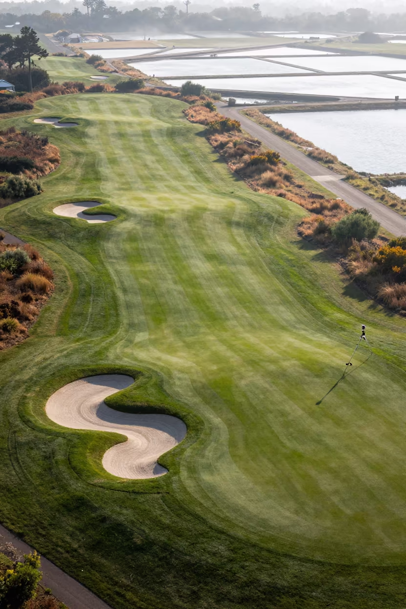
Aerial Golf Course Bunkers Salt Ponds Victoria
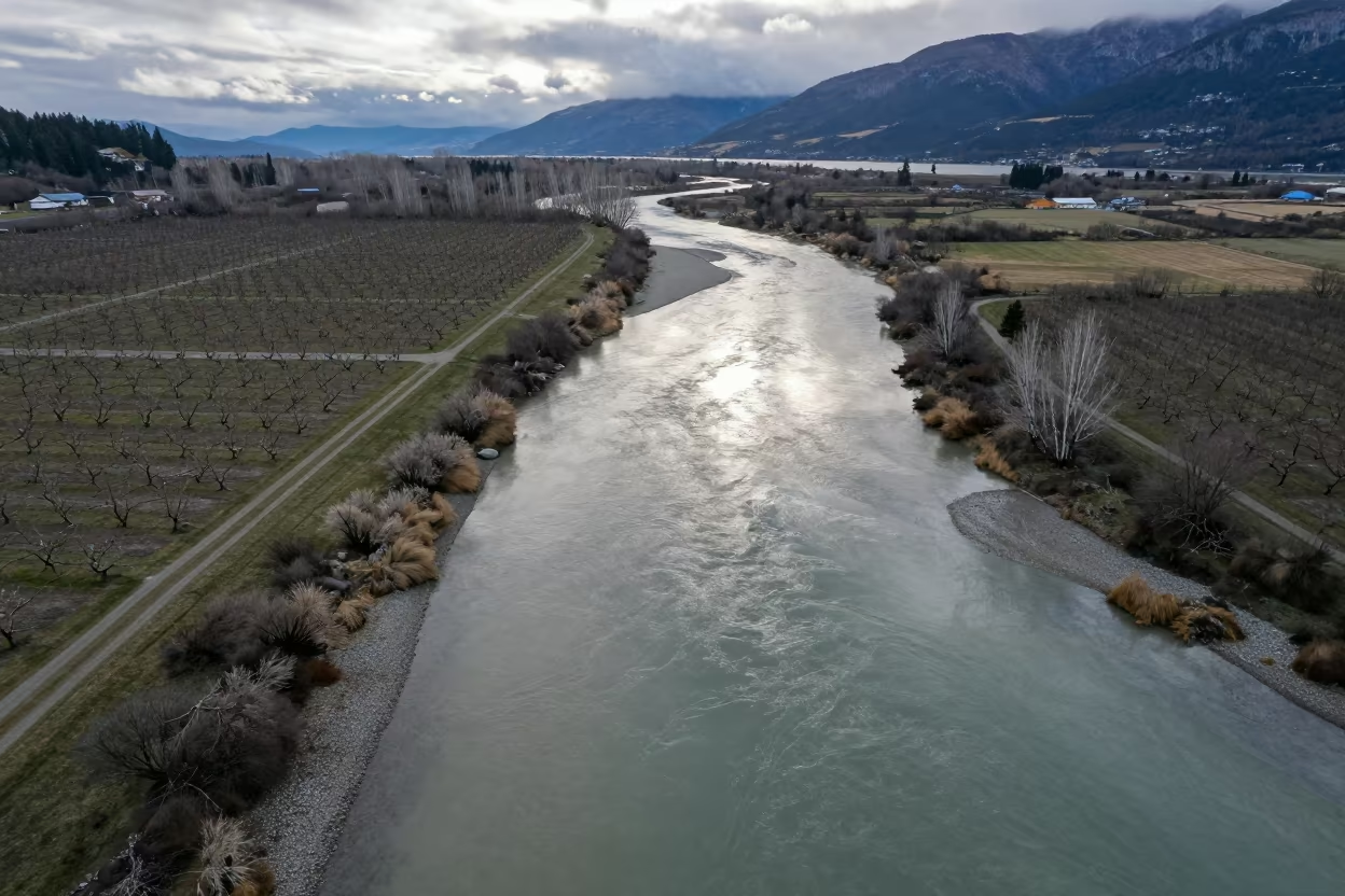
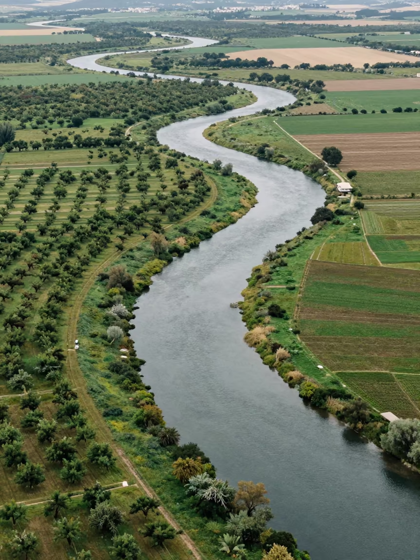
Aerial River Confluence in British Columbia Orchards
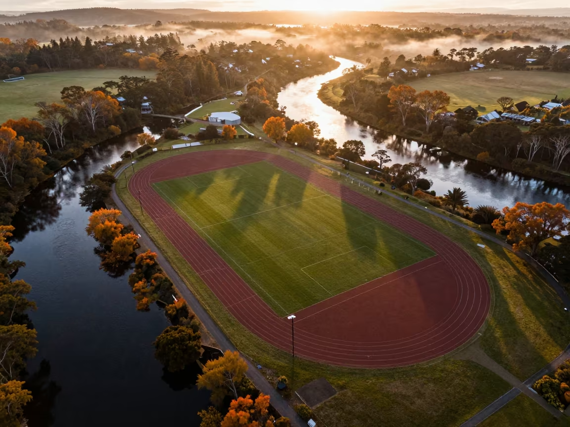
Aerial View of Sports Complex Near Braided Rivers
Aerial River Green Marsh Greek Islands

Aerial View of Yorkshire River Marshland
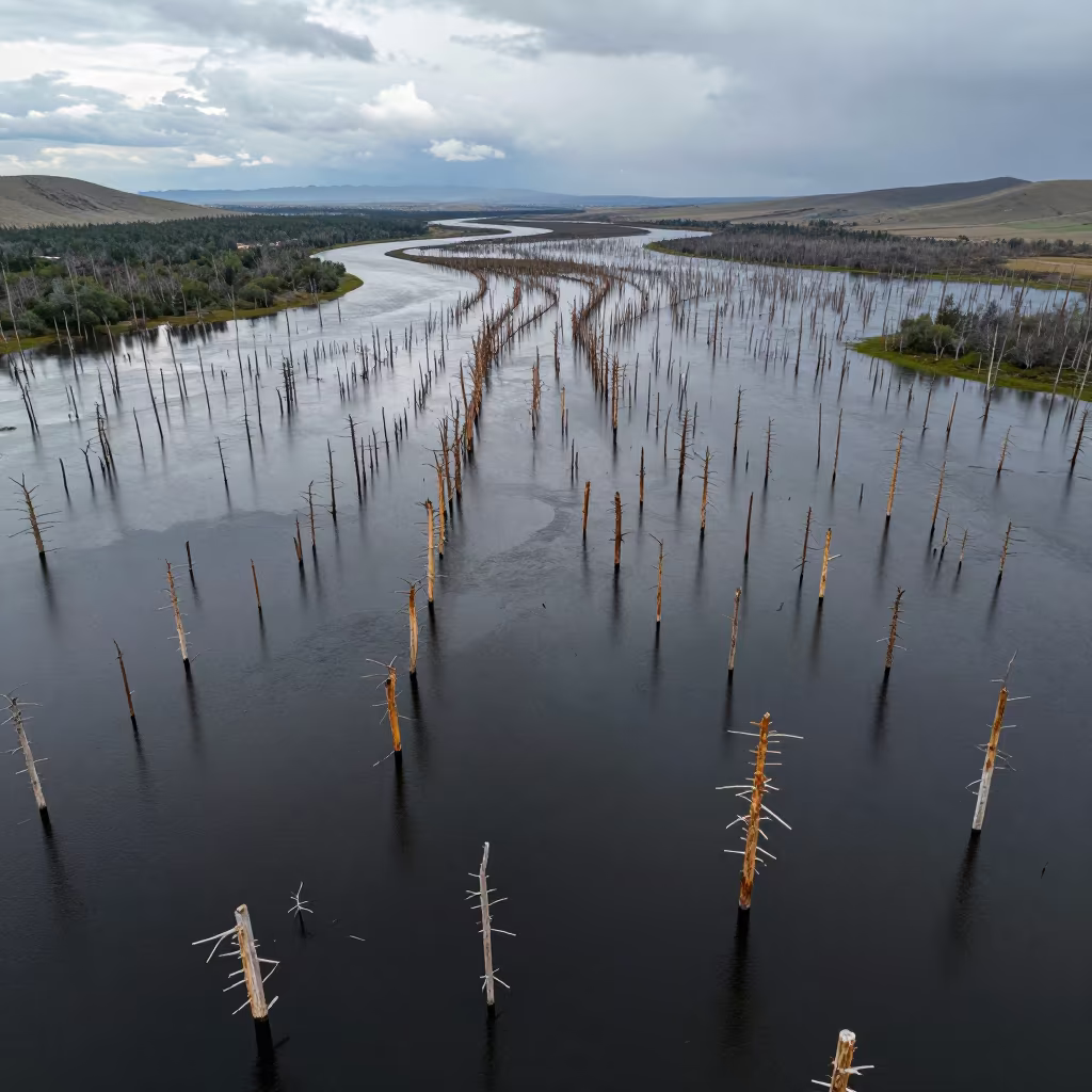
Aerial View of Flooded Forest Trunks in Mongolia
Aerial Wetland View Kamchatka Winter
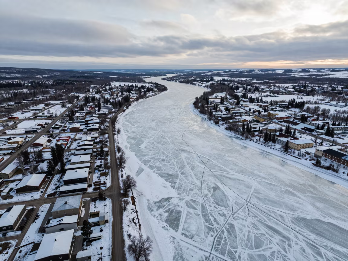
Frozen River Aerial View Whitehorse Tundra Spring
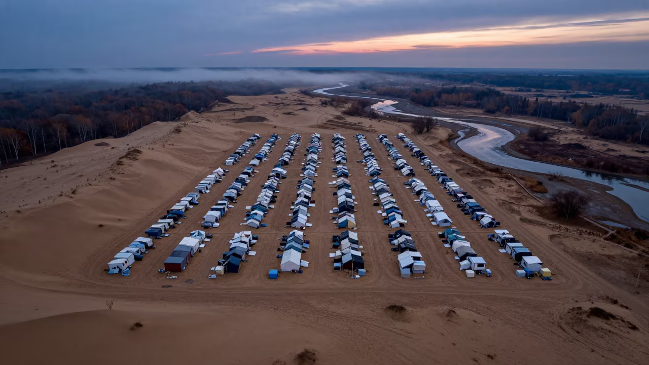
Aerial Refugee Camp Grid in Autumn Twilight
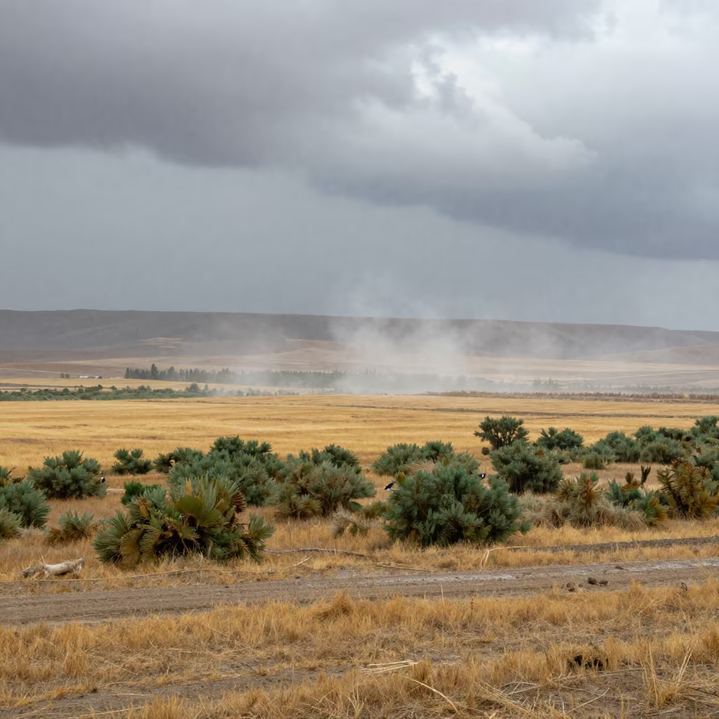
Virga Evaporating Beneath Clouds Fergana
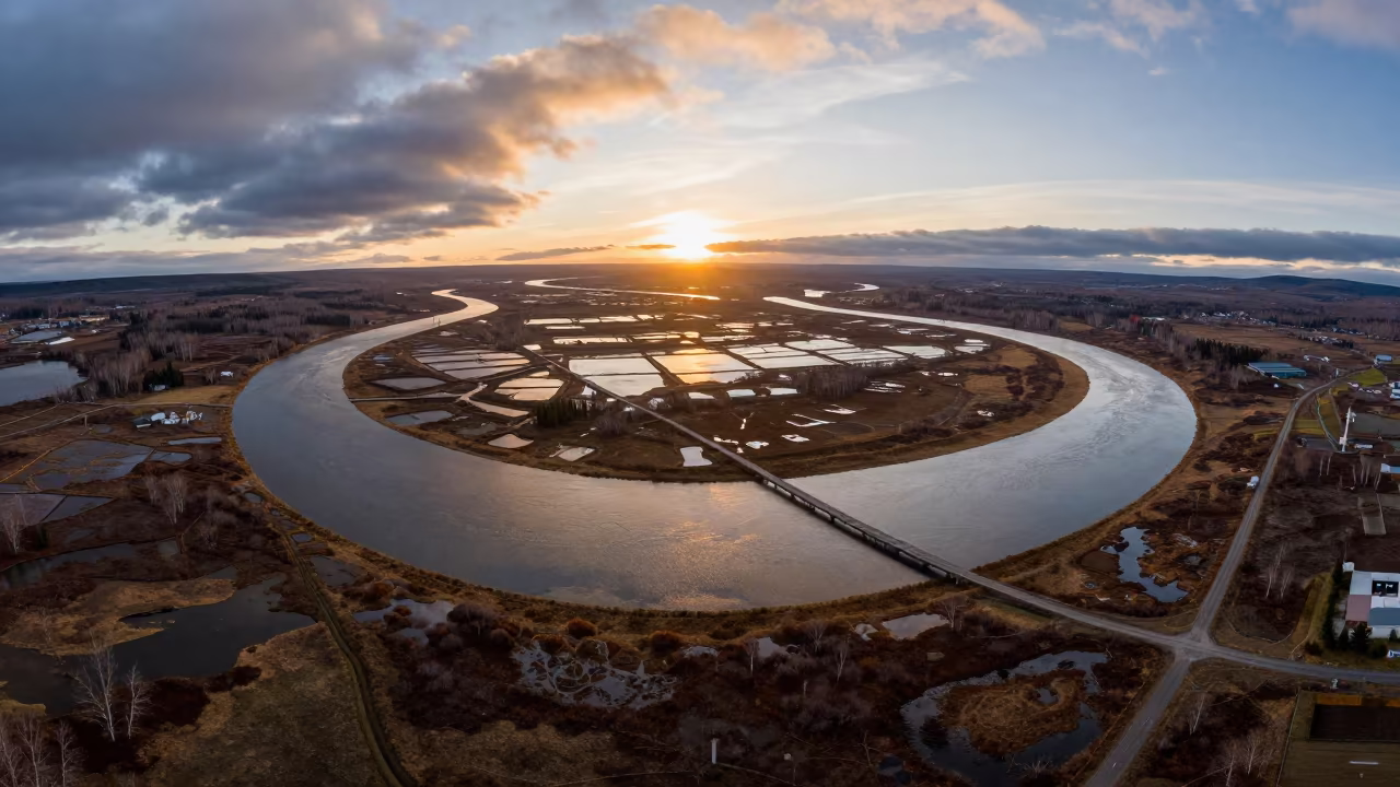
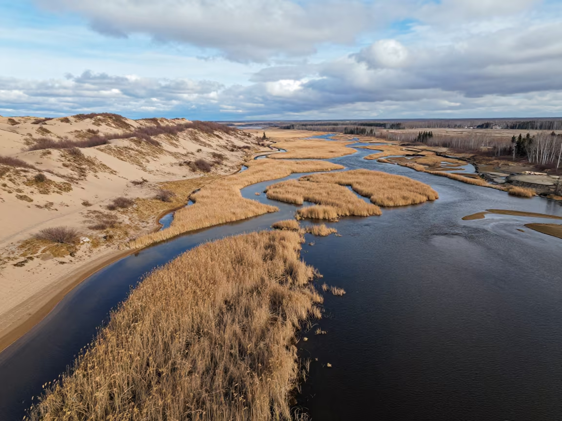
Aerial View of Kamchatka River Delta at Sunset
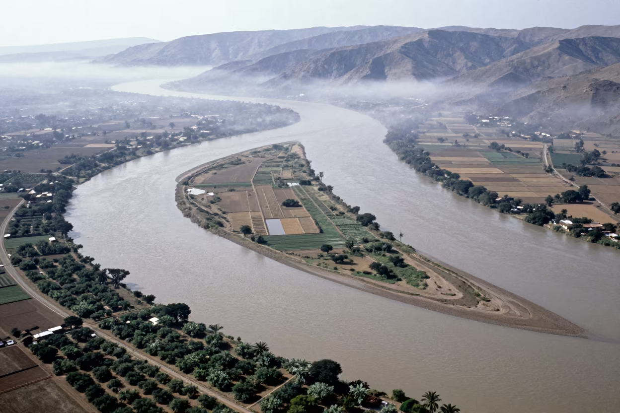
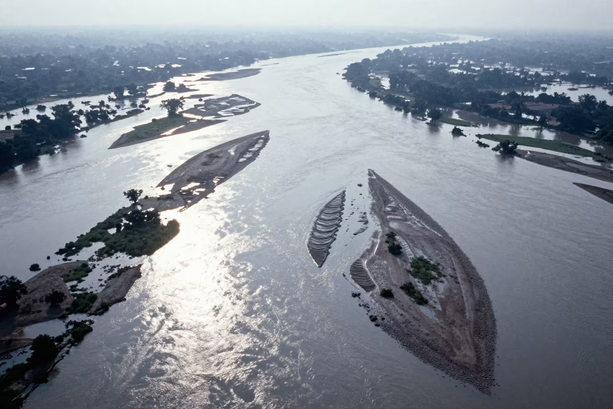
Aerial River Islands Eritrea Mist
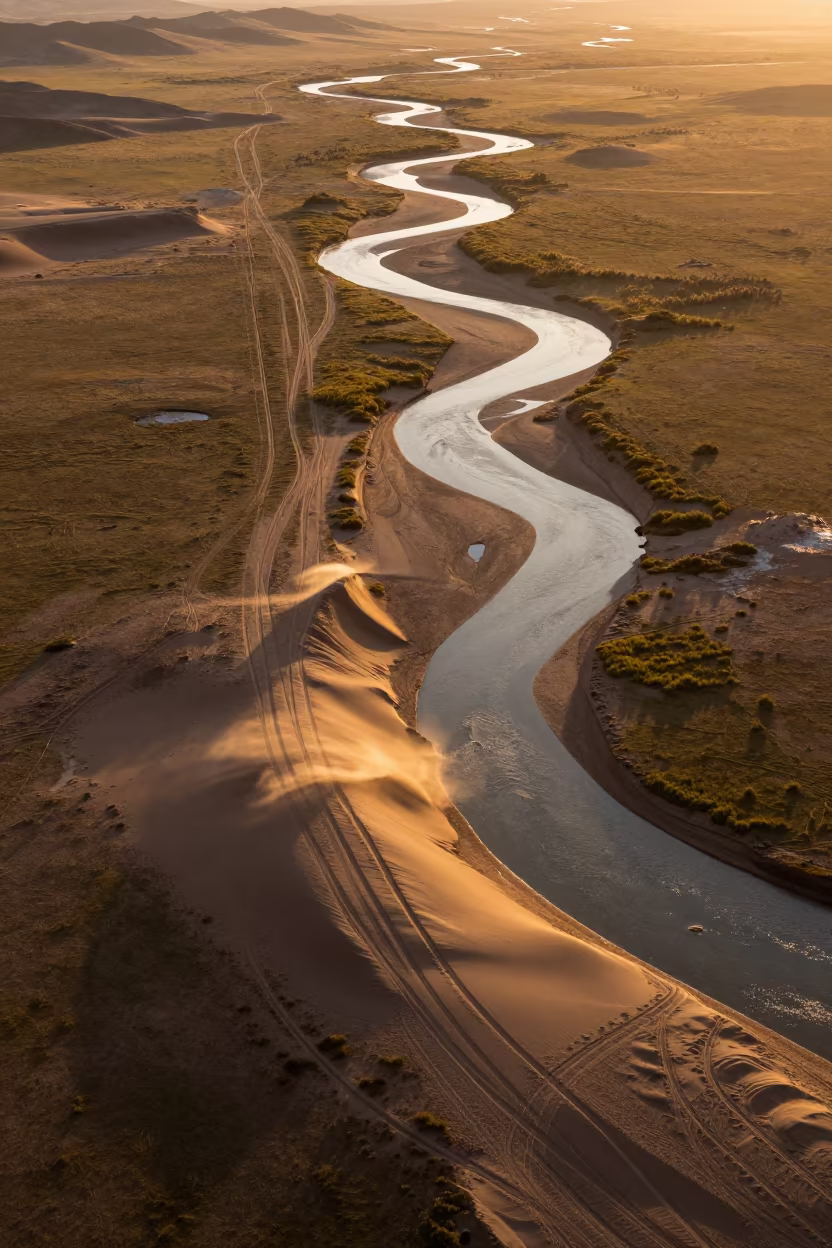
Amber Sunset Desert Tracks Over Mongolian River
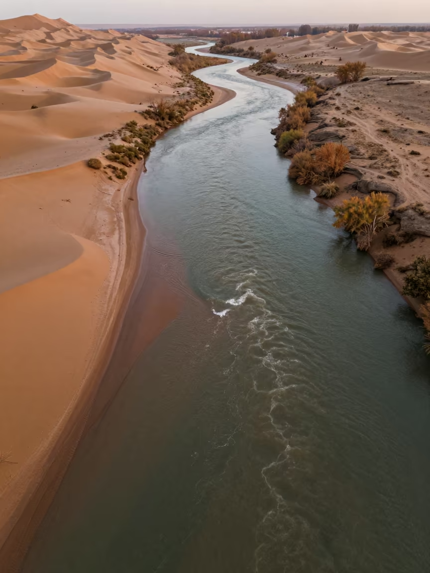
Aerial River Confluence in Autumn Dunes Near Van
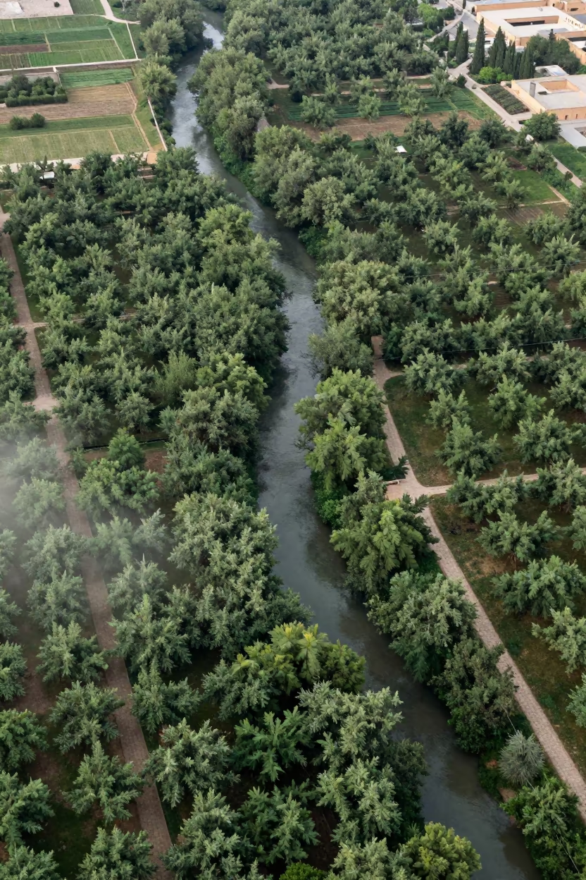
Aerial River Through Isfahan Orchard Canopy
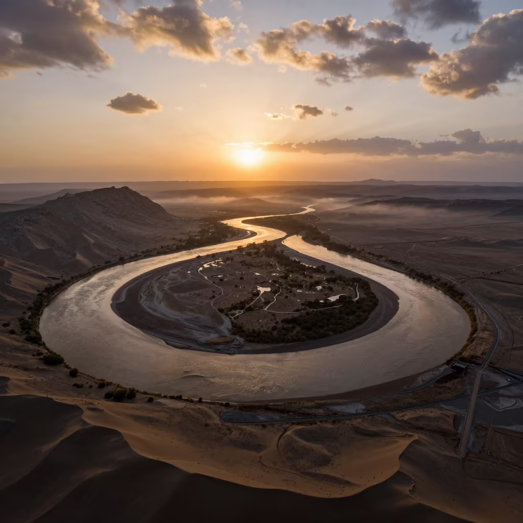
Amber Sunset River Bend Over Tajik Wadis
Aerial Braided River Islands Silver Water
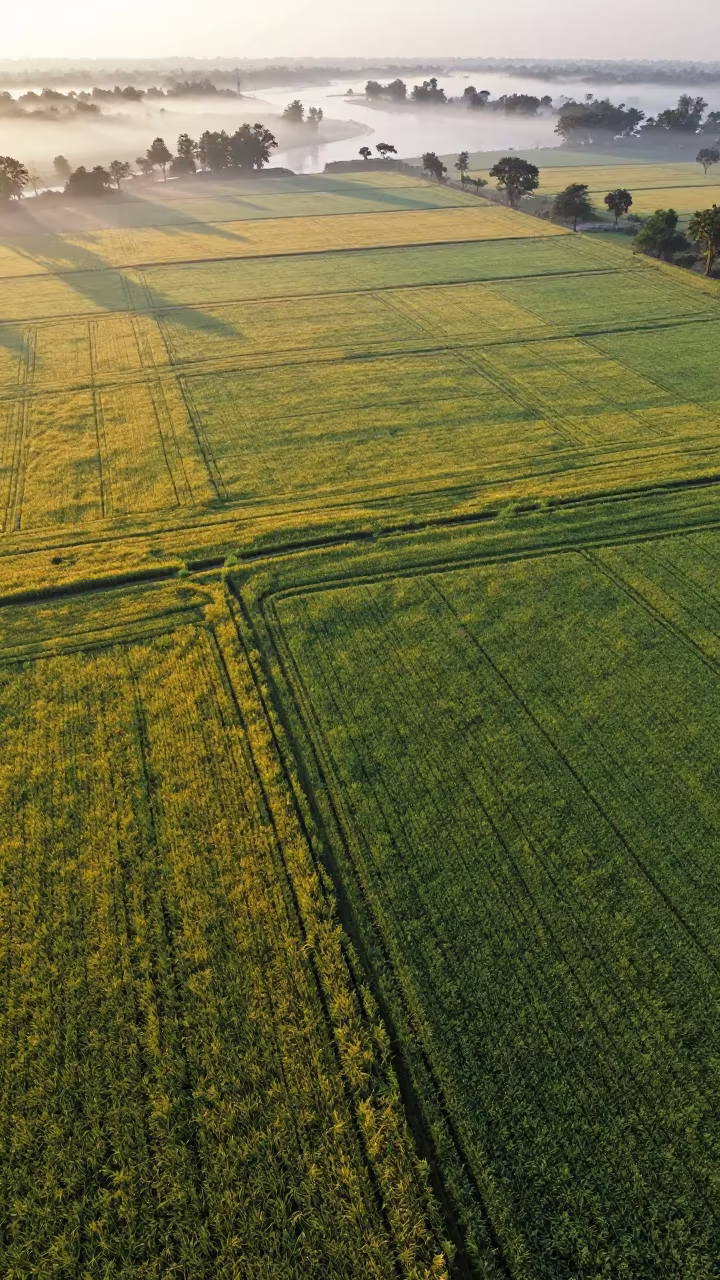
Aerial Dawn View of Barley and Oat Fields
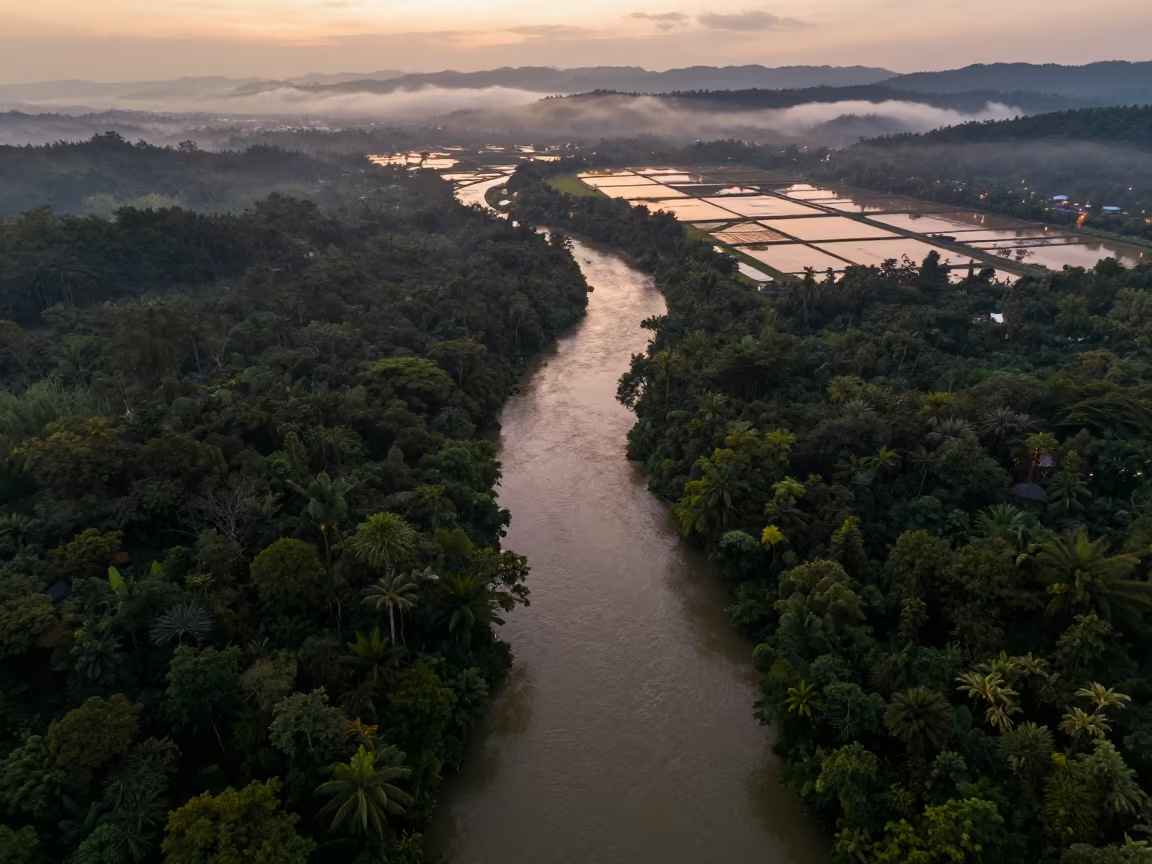
Aerial Jungle River Disappearing Under Canopy
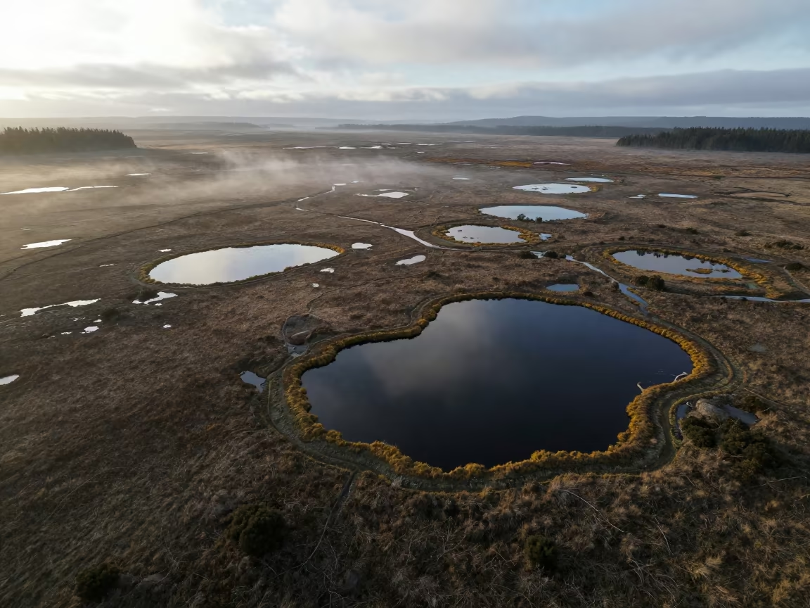
Aerial View of Dark Peat Bog Pools
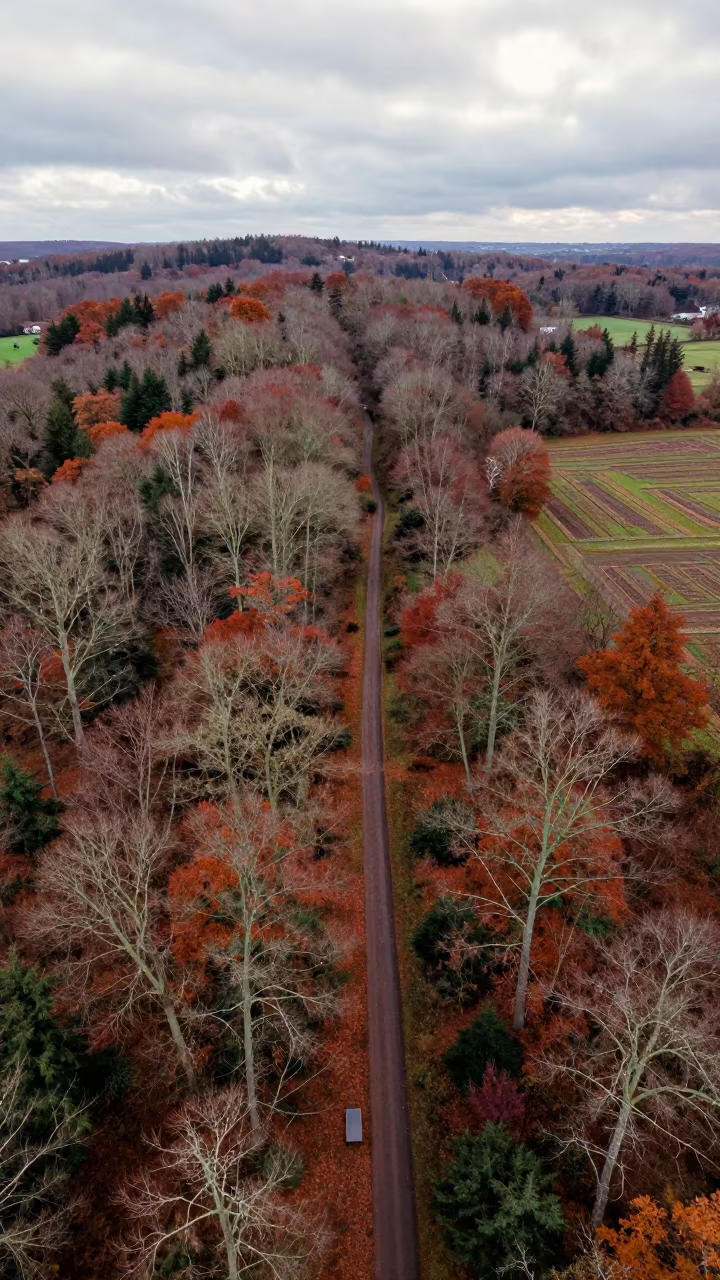
Aerial View Winding Trail Through English Forest
Aerial View of Corn and Soybean Fields Near Vinh
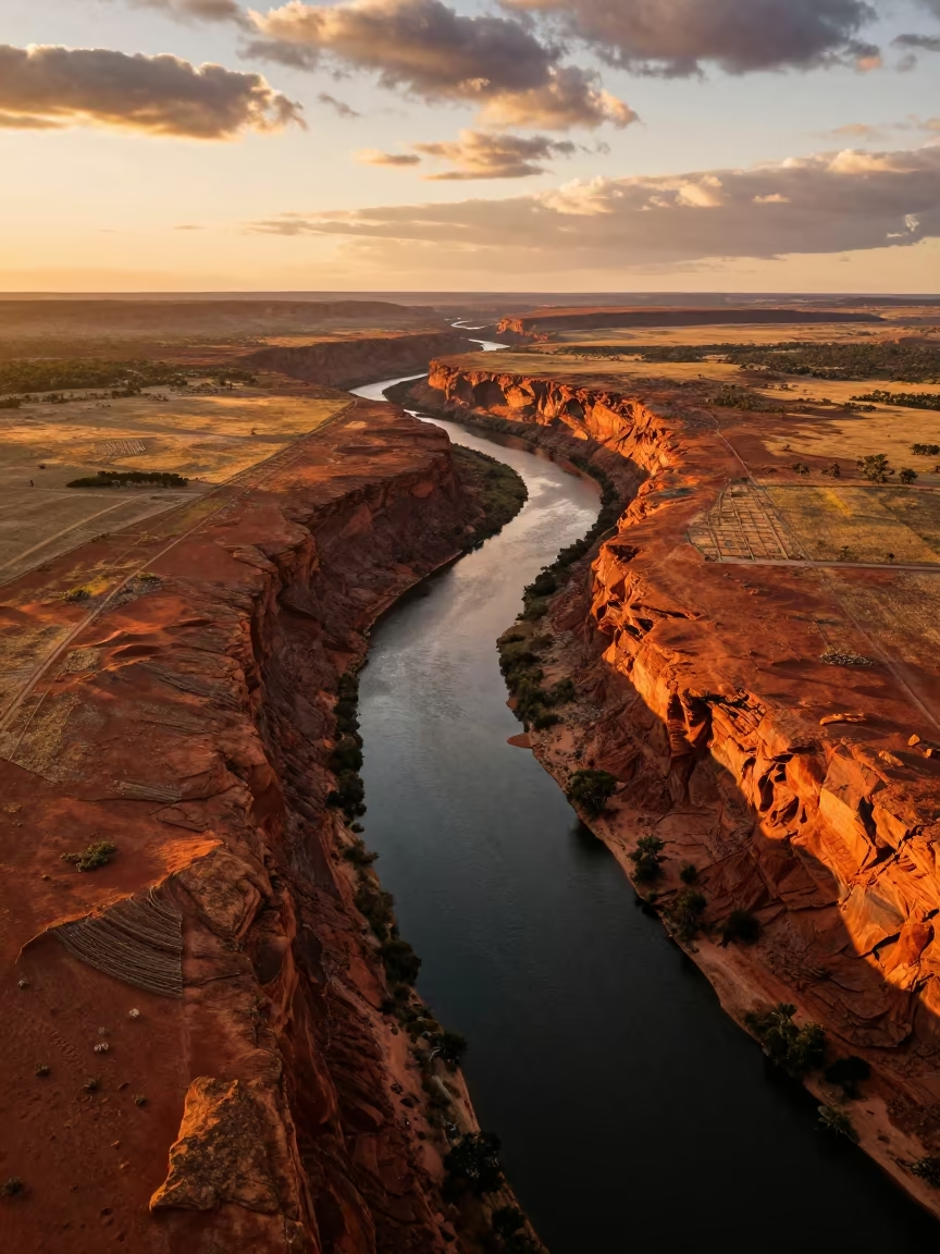
Golden Hour River Canyon Irrigation Western Australia
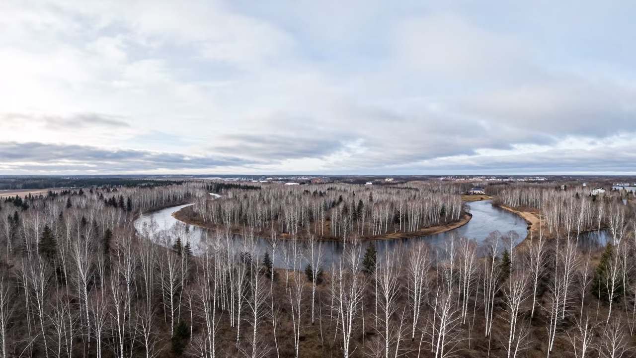
Birch Forest Aerial View Early Autumn Malmo
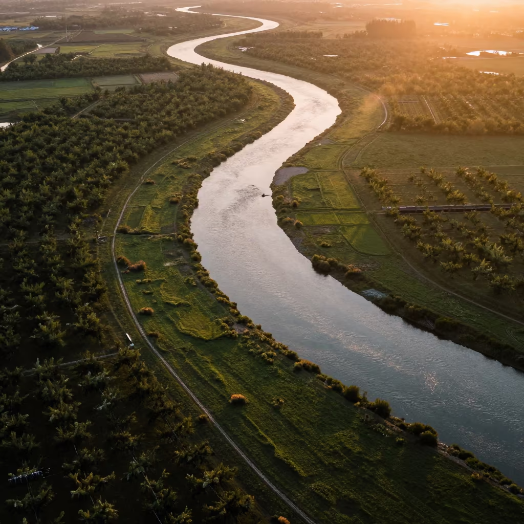
Aerial River Through Sichuan Orchards
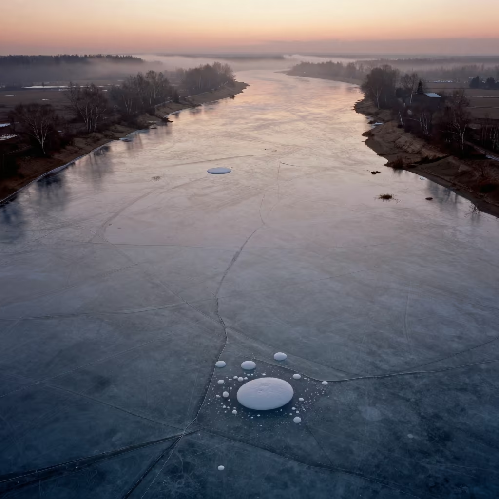
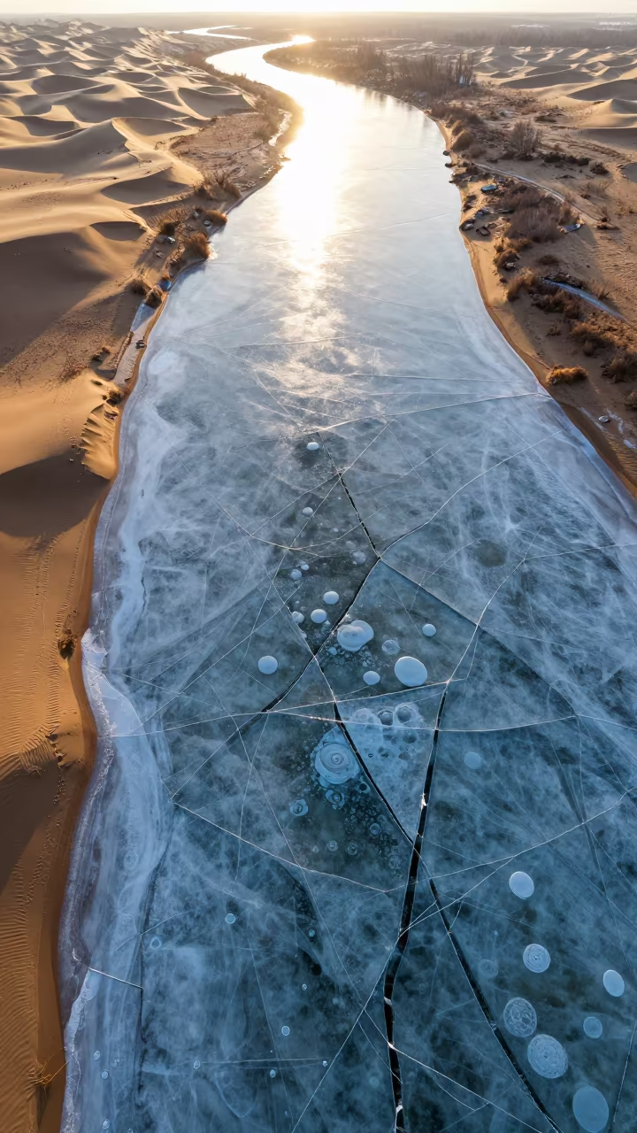
Frozen River Cracks and Bubbles in Russian Irrigation Geometry
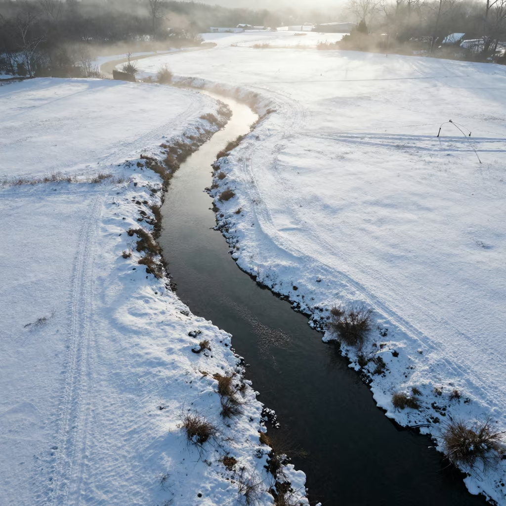
Aerial Creek Winding Through Snowy Meadow
Aerial view of autumn allotment gardens
Aerial Salt Ponds Moldova Late Afternoon
Comments