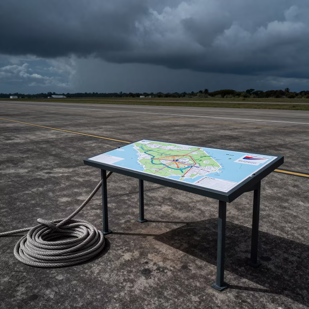
Silhouetted Grid Map Over Monsoon Airbase
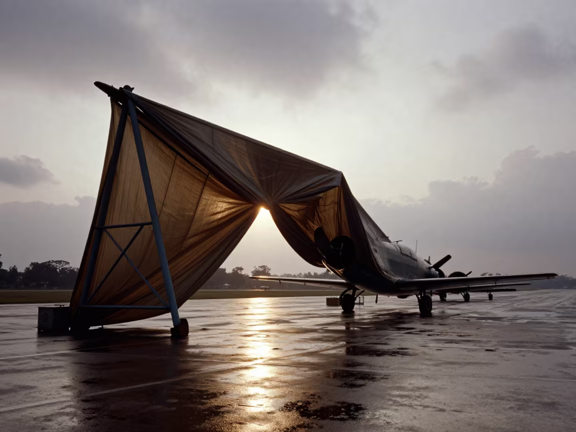
Honeyed evening light floods the Taunggyi flight line, turning the heavy monsoon sky into a diffuse, glowing backdrop. A massive metal structure stands in sharp silhouette, its rigid form defying physics by draping and folding like heavy canvas. Deep creases and fabric-like folds ripple across the surface, catching the backlight along their edges while the rest remains a solid black shape. The ground shows wet, dark tarmac reflecting the sky's muted intensity. Institutional gravity anchors the impossible drape, which hangs low over the tarmac. One fold casts a thin, sharp shadow that cuts across the wet concrete, marking the impossible geometry against the real world.
Free to download. CDN hosting requires a link back to this page. Terms
Similar Images
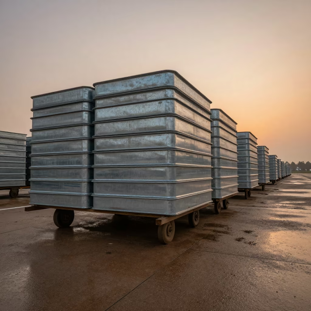
Steel Trays on Airbase Flight Line at Dusk
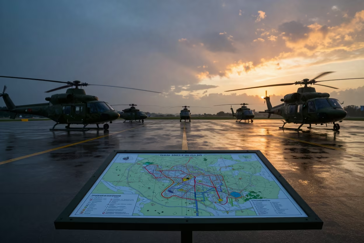
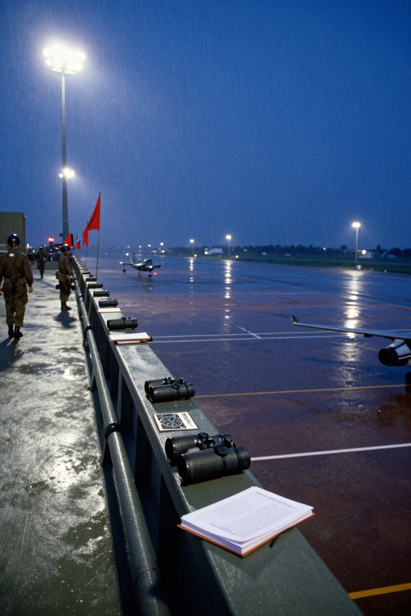
Military Map Board Sunset Rain Guangzhou
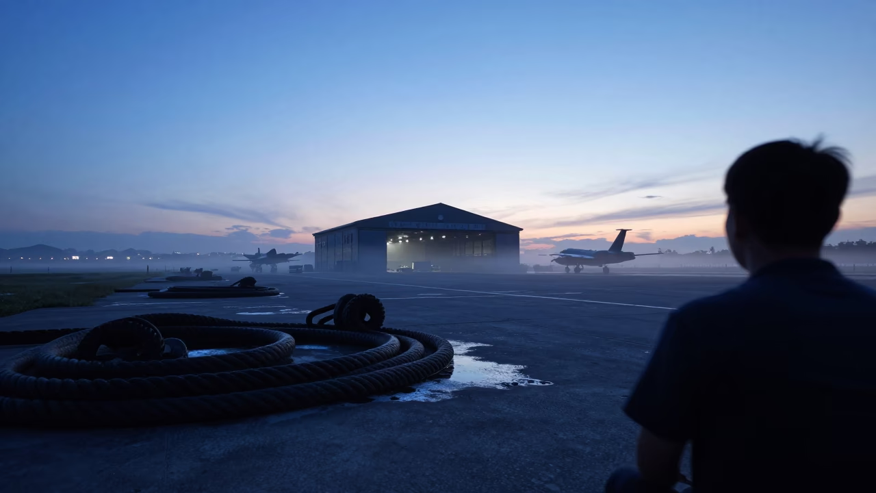
Hangar Silhouette With Hawsers in Indigo Twilight
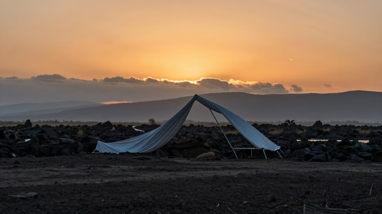
Surreal metal folds over Bhutanese salt marsh at sunset

Surreal Mangrove Corridor Under Night Sky
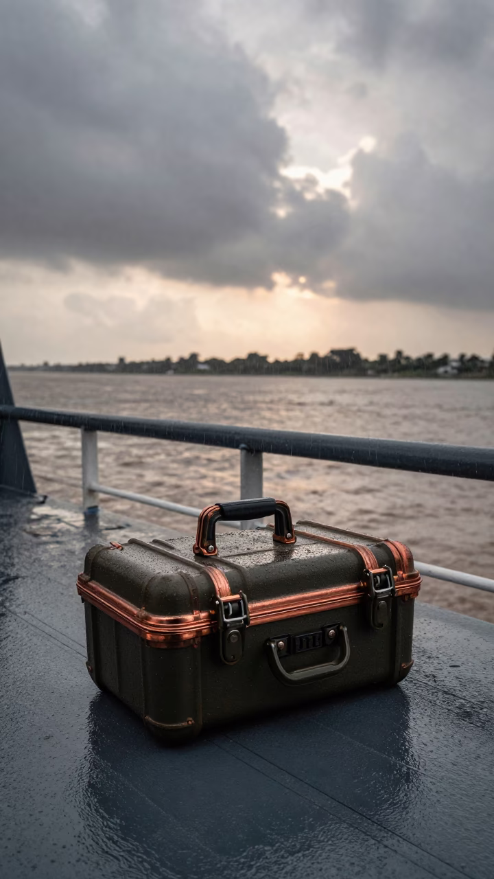
Map Case on Naval Deck in Copper Monsoon Light
Military Map Grid Before Dawn Over Chorzów Airbase
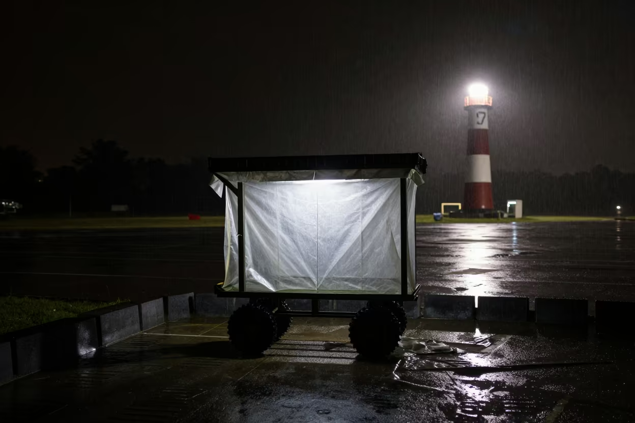
Military Poncho Liner Cart Silhouetted Night Rain
Monsoon Ledger in Blue Light Shadow
Solar Array Glinting Silver at Sunset
Bridge Cables Against Cloudy Monsoon Sky
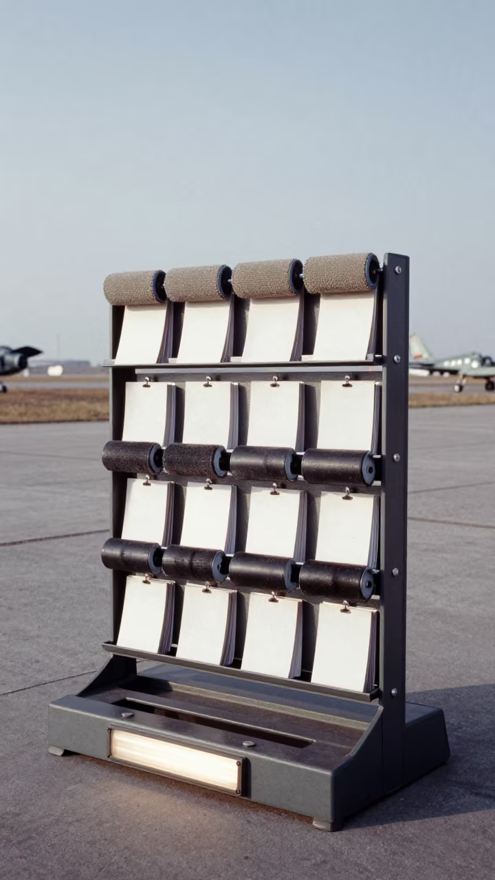
Drill Card Rack Silhouette in Autumn Mist at Dawn
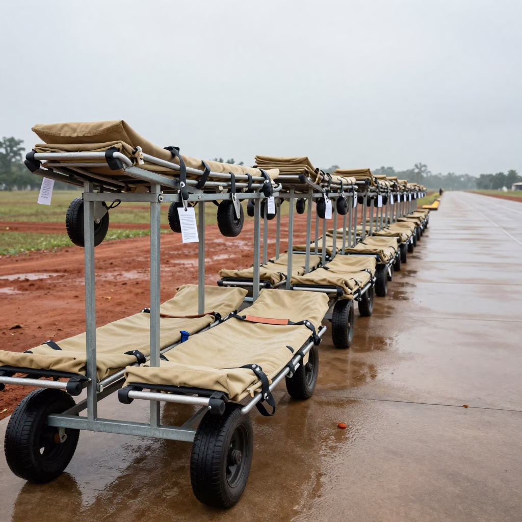
Field Stretcher Storage Bay Rainy Airbase
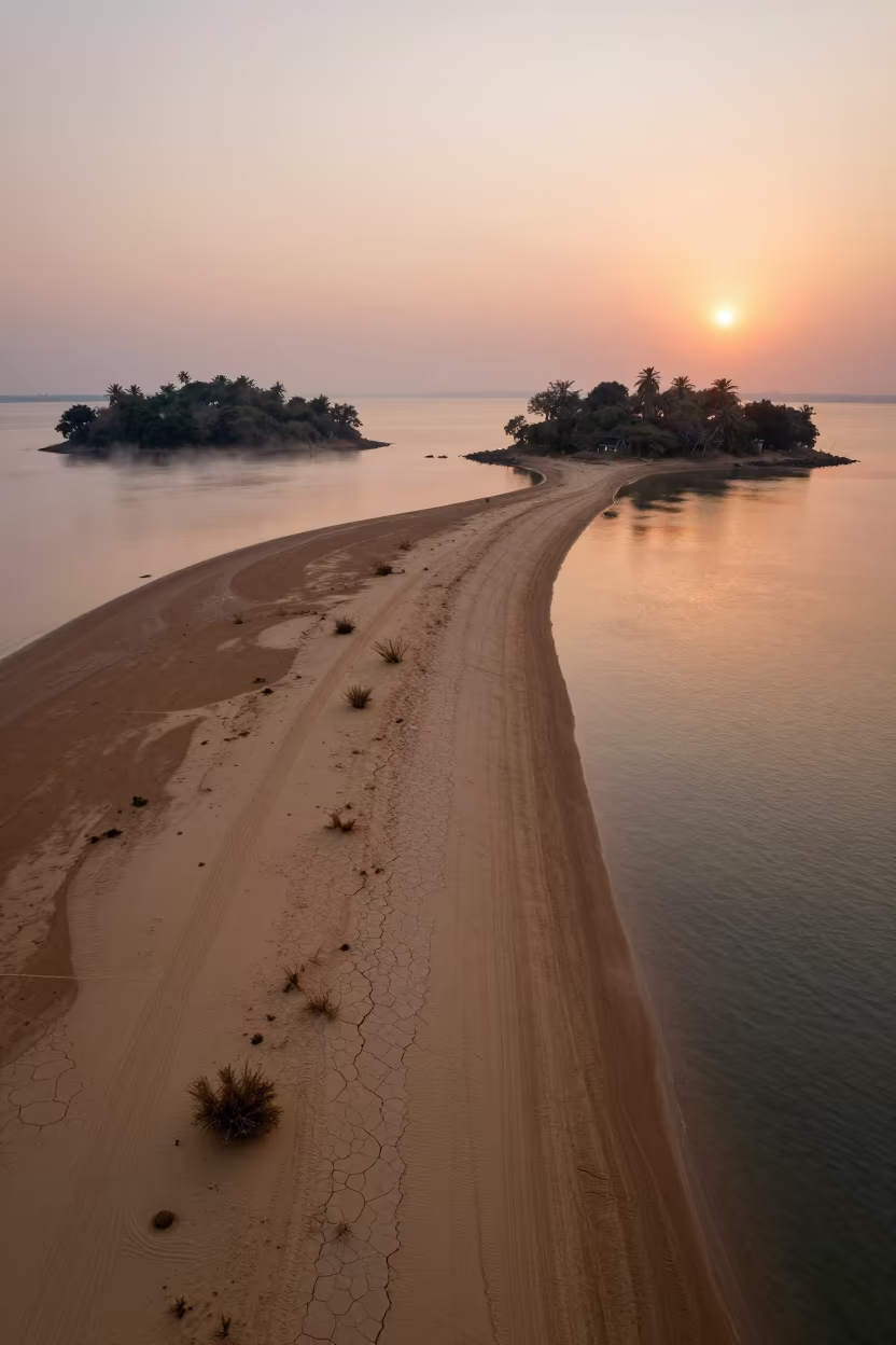
Sunset Sandbar Linking Islands Near Taunggyi
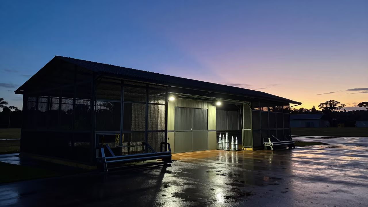
Airbase Shelter Silhouette in Indigo Twilight Minas Gerais
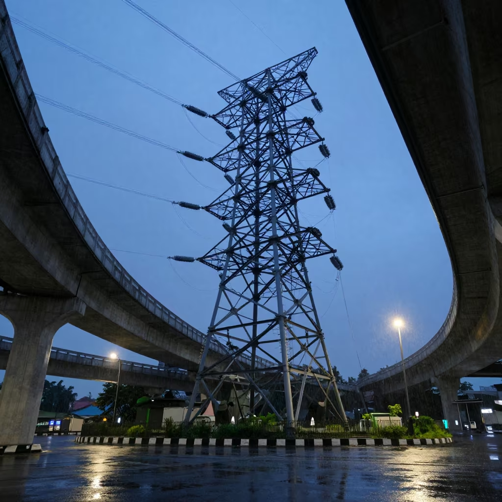
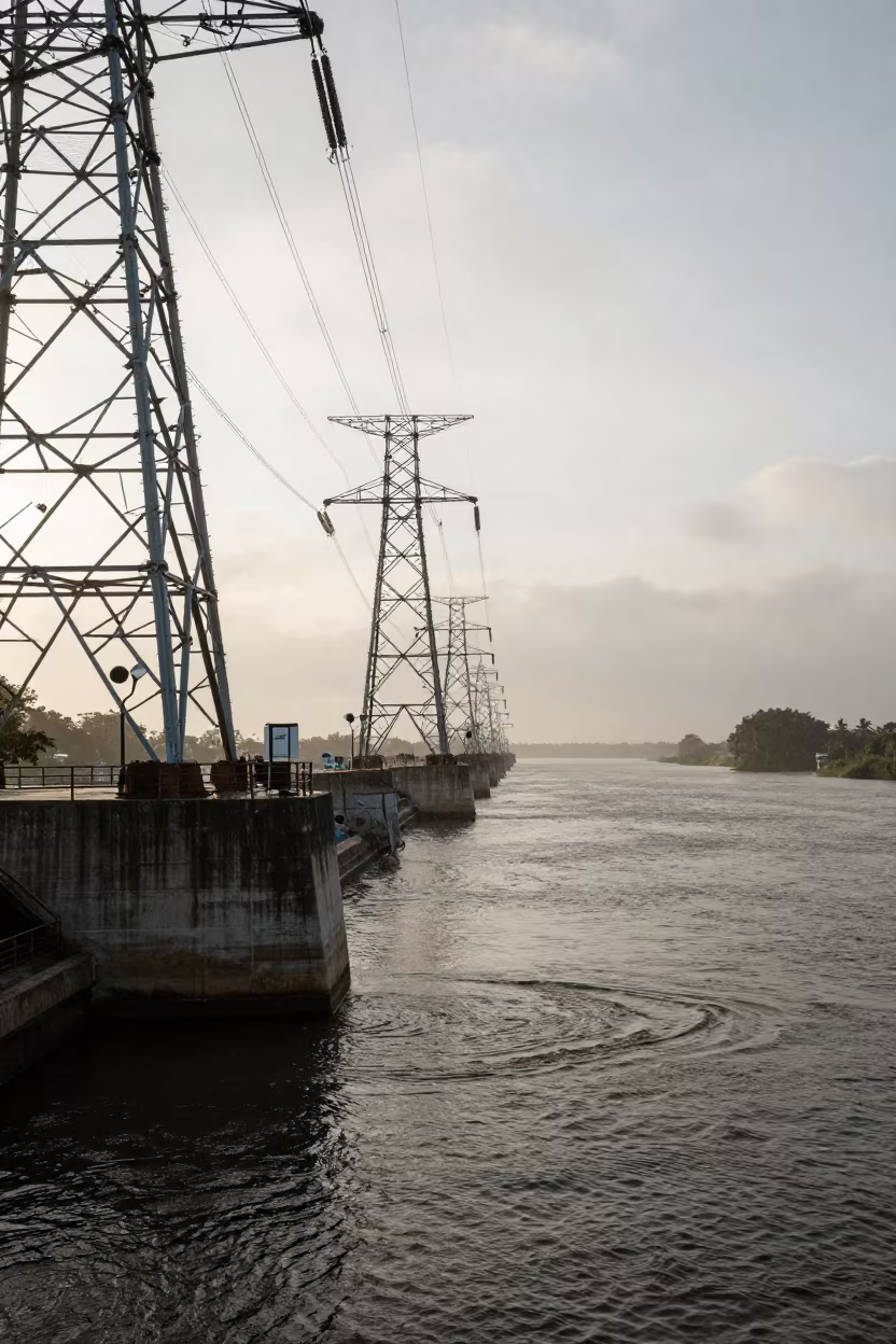
Substation Lattice Against Twilight Sky Jakarta
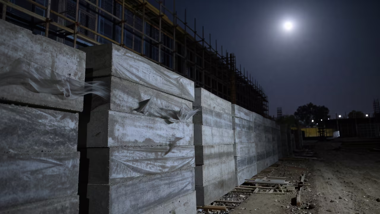
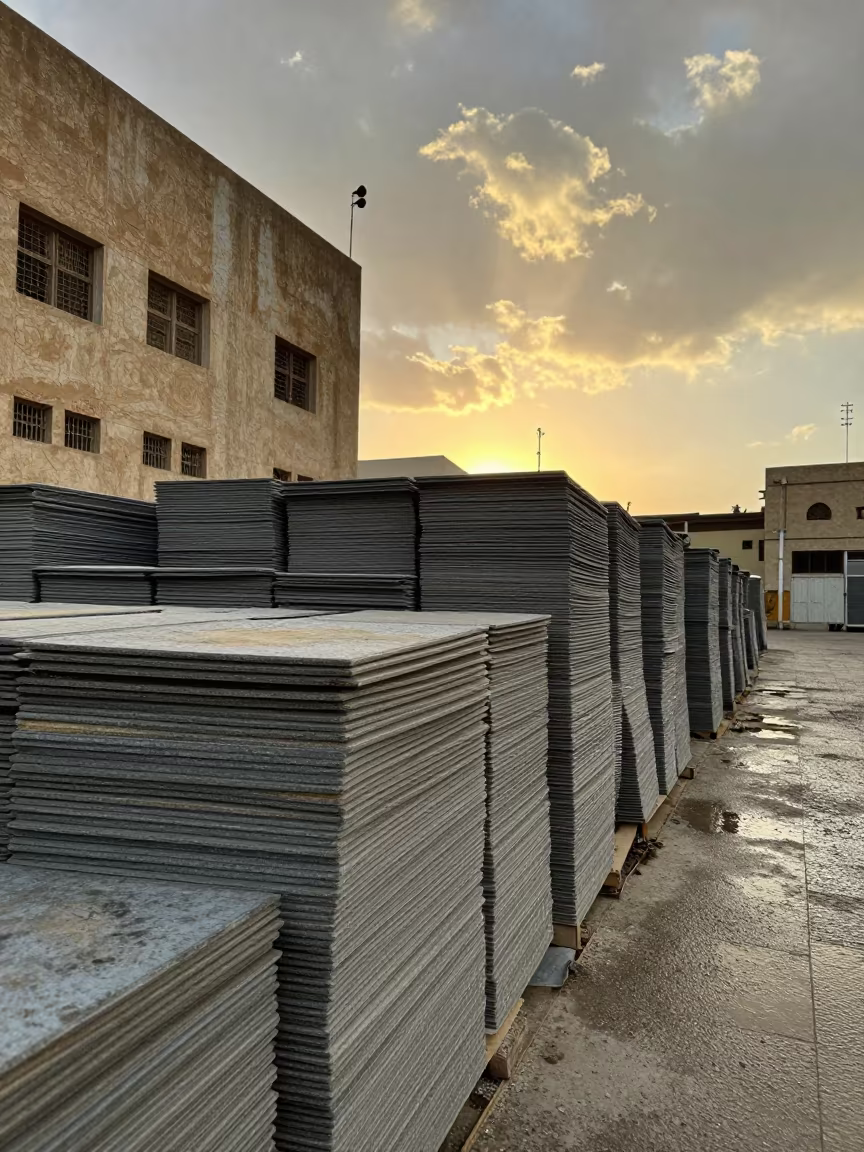
Concrete Blanket Stack Midnight Jharkhand
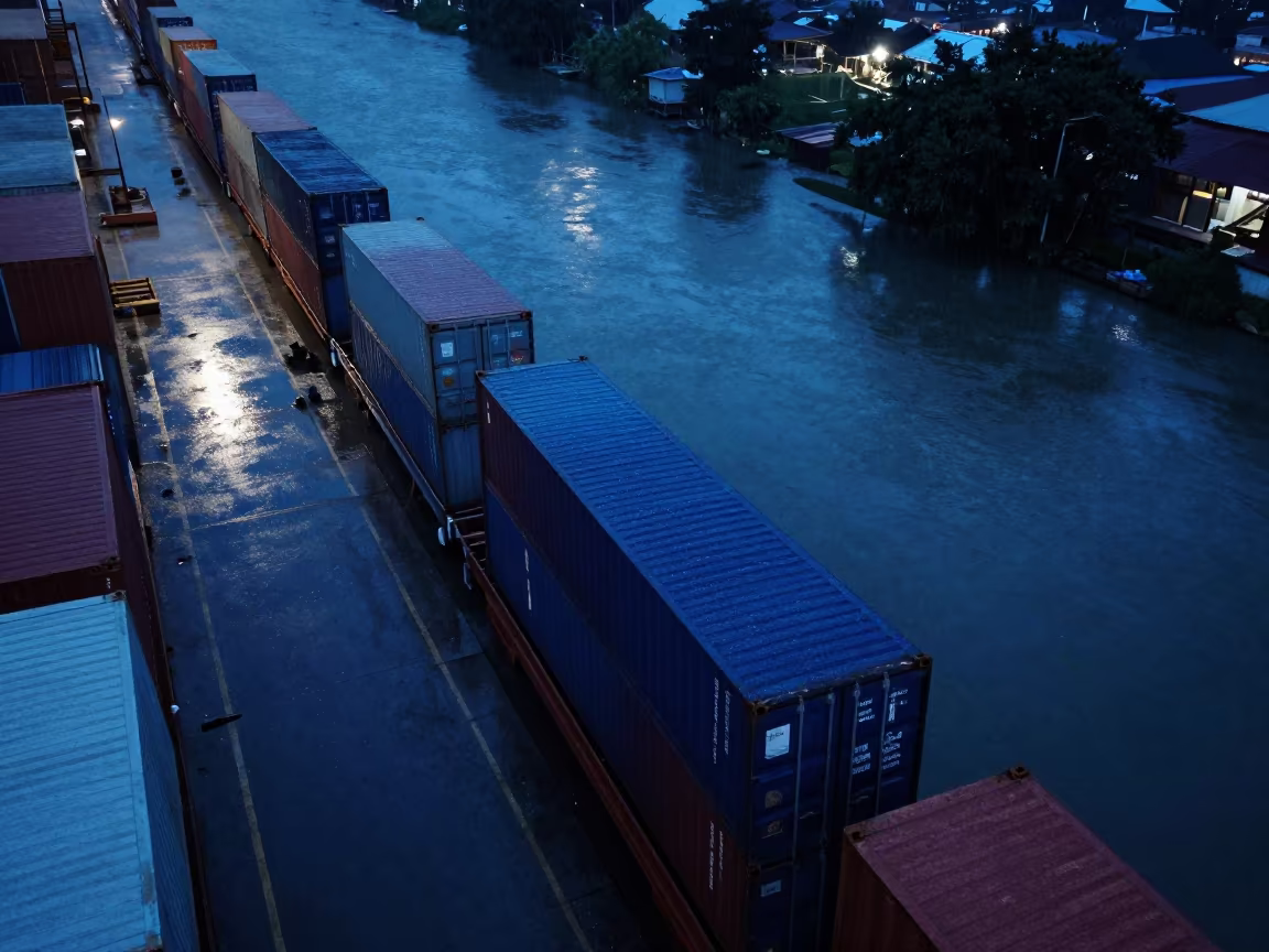
Predawn Aerial View of Harbor Containers in Thailand
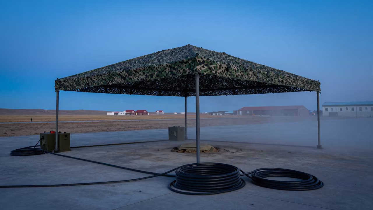
Helicopter Pad in Mongolian Twilight Dust
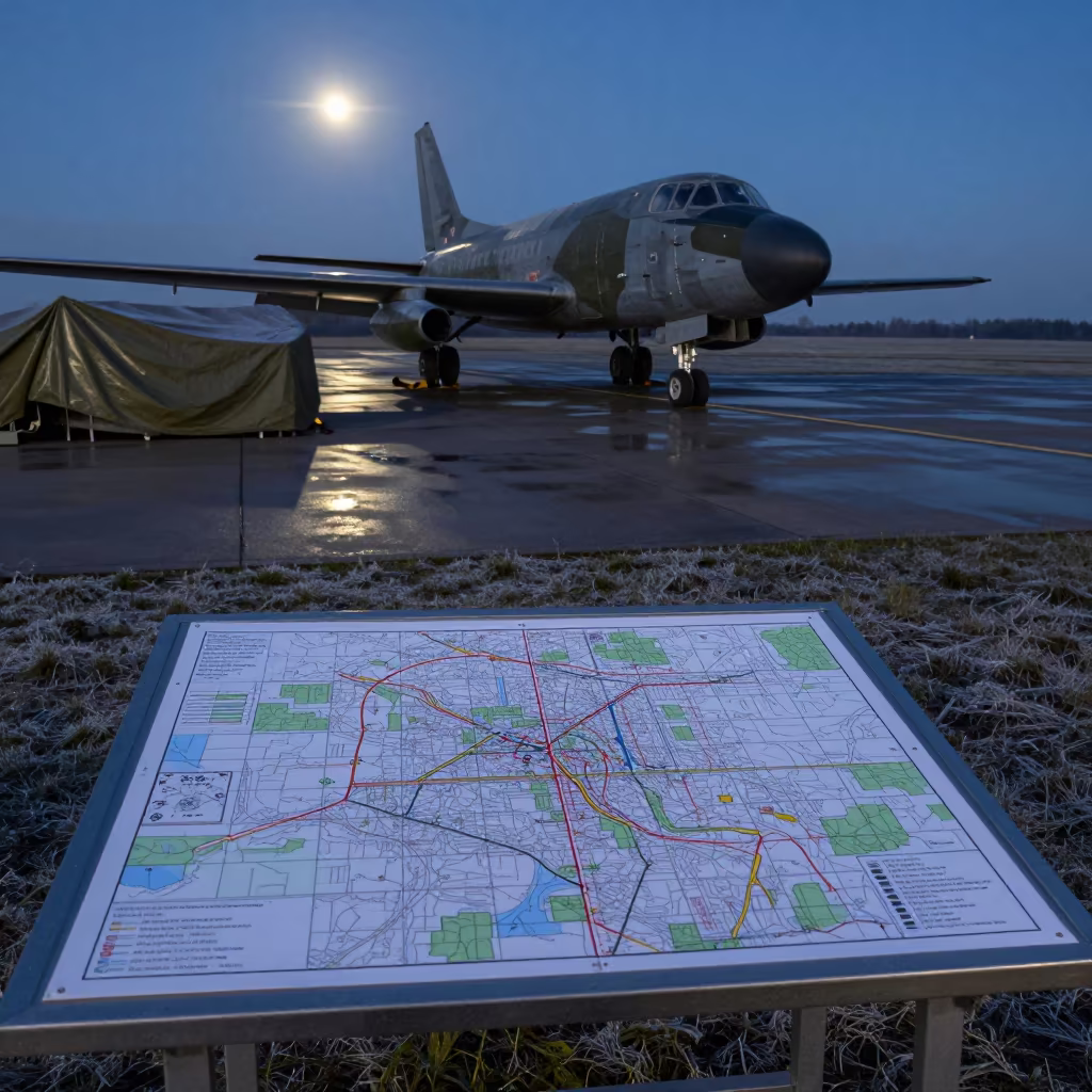
Map Table on Airbase Flight Line at Dawn
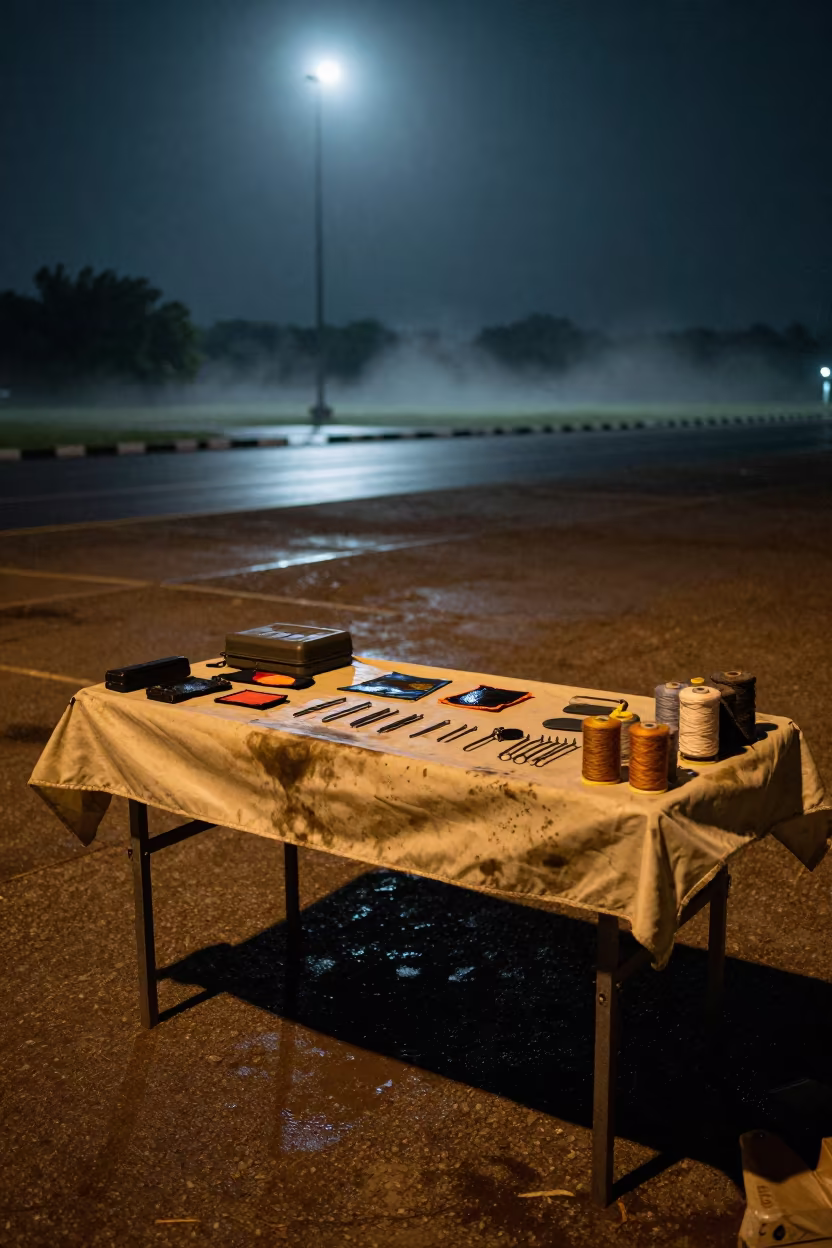
Tent Repair Kit Table After Night Exercise

Battle Rope Anchor Silhouetted in Toamasina Studio
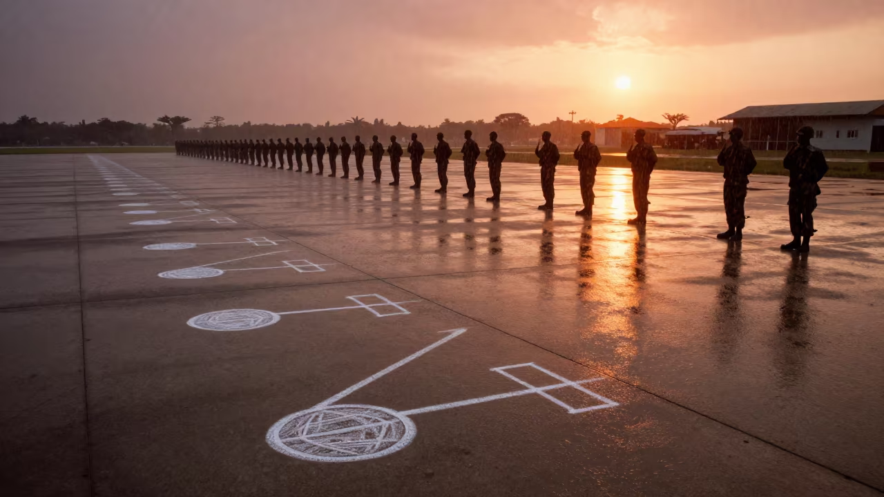
Chalk Drill Marks on Wet Angola Airbase
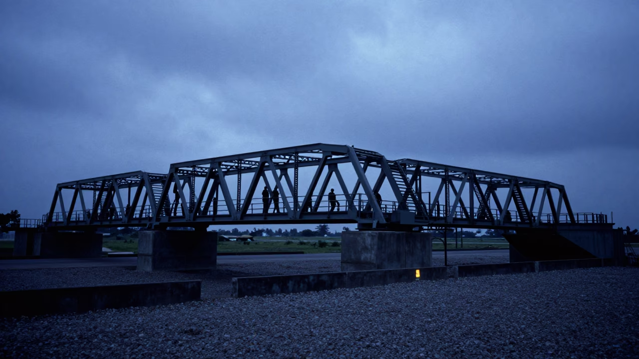
Military Bridge Section Silhouetted at Tanzanian Airbase Twilight
Dual Sun Over Military Drip Pan Nesting Rack
Senegal Airbase Deck Watch at Twilight Drizzle
Storm Surge Barrier in Late Afternoon Monsoon Light
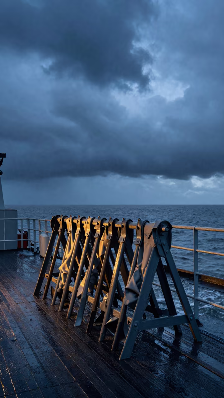
Fabric Metal Rack on Naval Deck at Blue Hour

Gilded Harp Column in Monsoon Sunset Light
Infinite Construction Stack in Sana'a Monsoon Light

Silhouetted Prayer Flags Against Night Sky
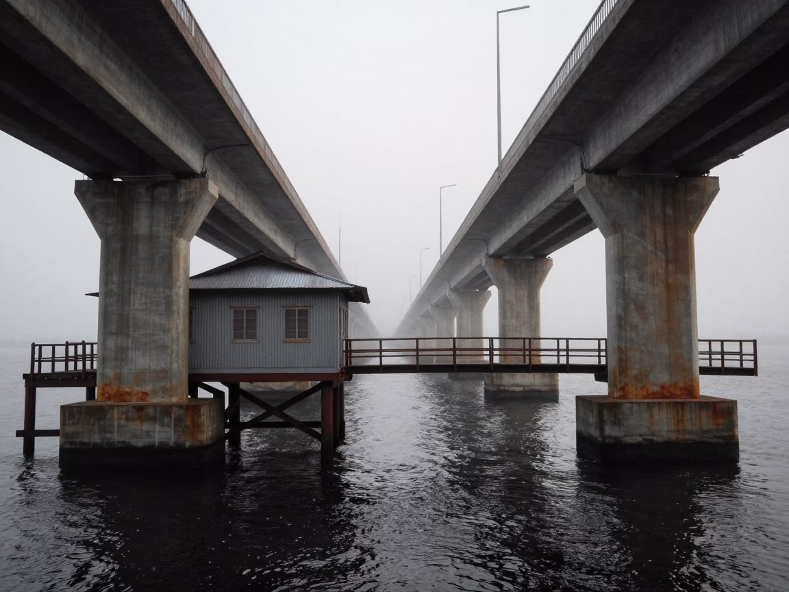
Thai Drawbridge Counterweight House in Dawn Mist
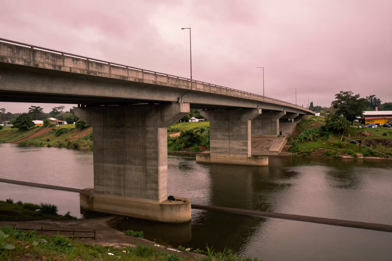
Highway Flyover Stack Over Tonalá Dam
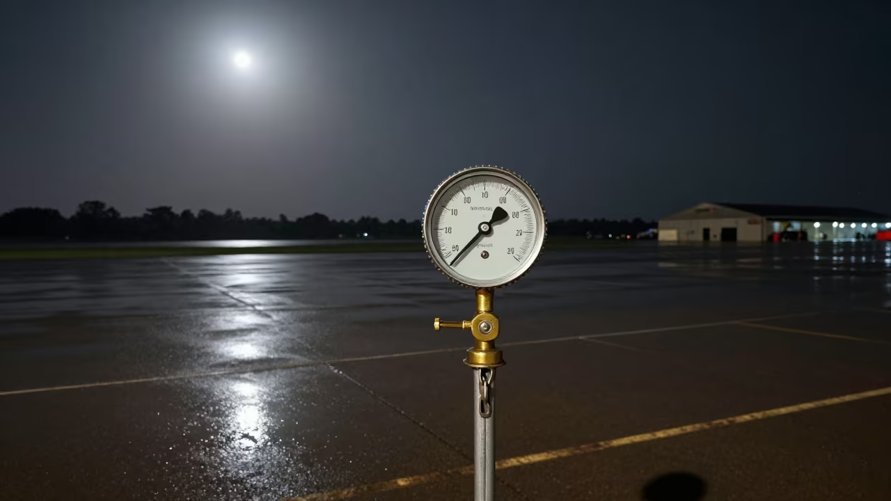
Tie-Down Chain Tension Gauge on Gambian Airbase
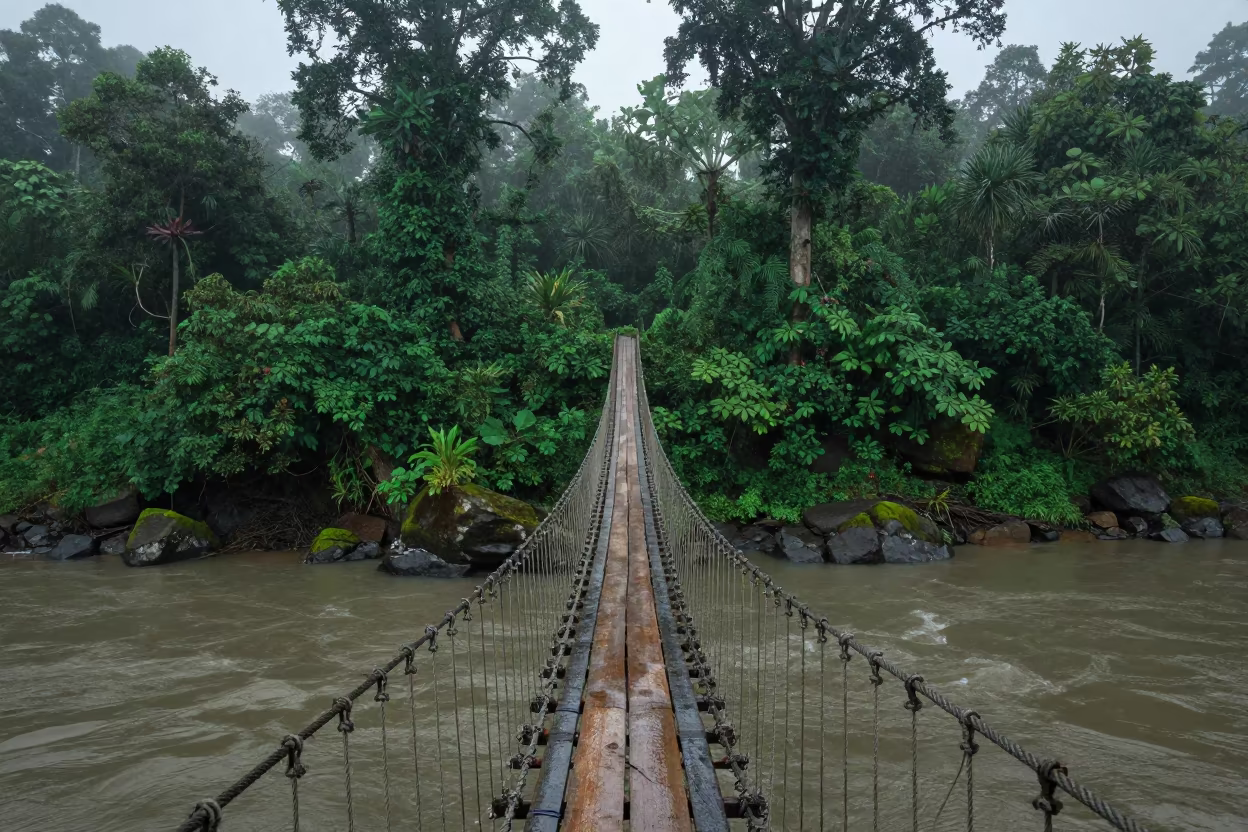
Swaying Rope Bridge Over Monsoon Gorge at Dawn
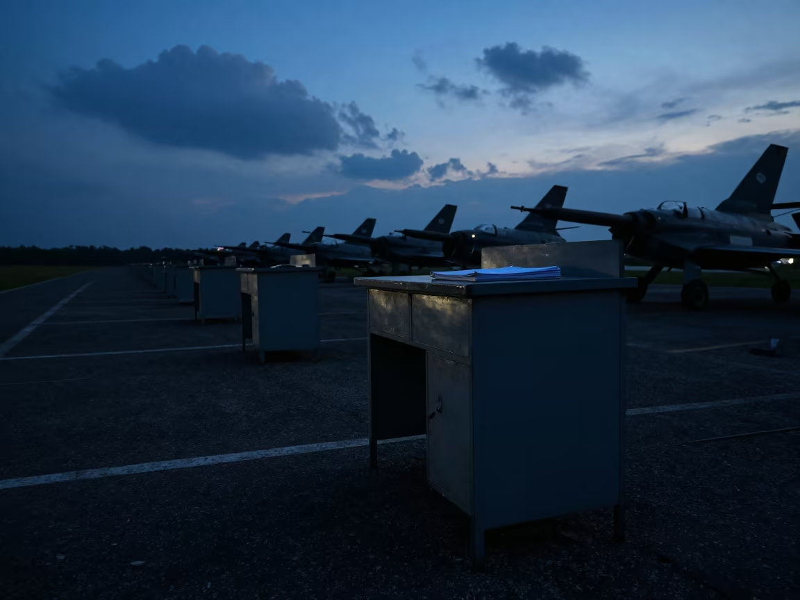
Silhouetted Ledger Desk at Nagaland Airbase
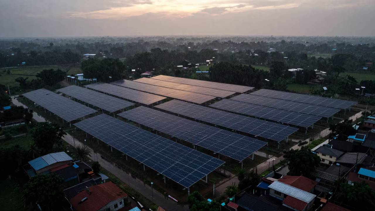
Twilight Solar Thermal Plant Karnataka Aerial
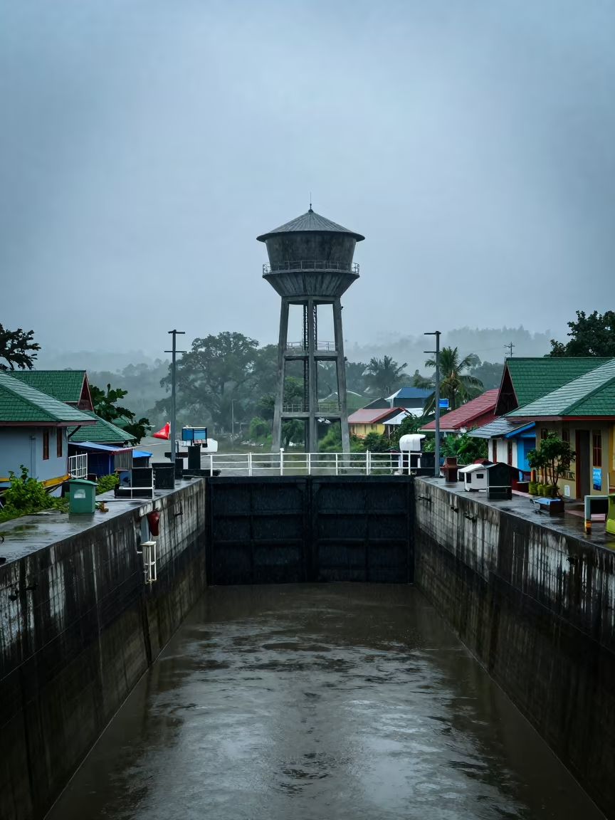
Monsoon Water Tower Over Canal Lock Meghalaya
Comments