Military Map Grid Before Dawn Over Chorzów Airbase
by Logan Bird
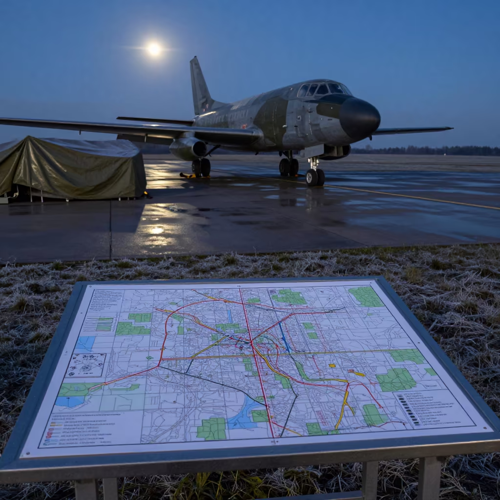
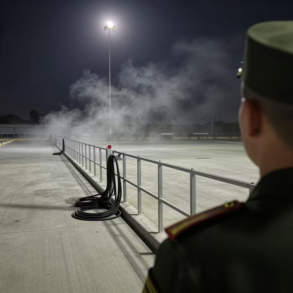
Cold moonlight bleaches the tarmac along the Chorzów airbase flight line, turning wet concrete into a slate-gray mirror. A large, semi-transparent map grid overlay rests on a metal folding table, its printed coordinates glowing faintly against the darkening sky. Heavy canvas tarps drape over parked equipment nearby, their edges snapping softly in the biting wind. The steel fuselage of a military aircraft looms in the background, its rivets catching the pale light. Shadows stretch long and sharp across the ground, showing the stillness before the day's operations begin. Frost rests on the grassy edges of the runway, marking the turn of the season. at the edge is a single reflection of the grid lines shimmering on a puddle near the table leg.
Free to download. CDN hosting requires a link back to this page. Terms
Similar Images

Nautical Dawn Map Grid Over Airbase Asmara
Map Table on Airbase Flight Line at Dawn
Silhouetted Landing Zone Kit at Midnight Airbase
Winter Airbase Map Grid Overlay Readiness
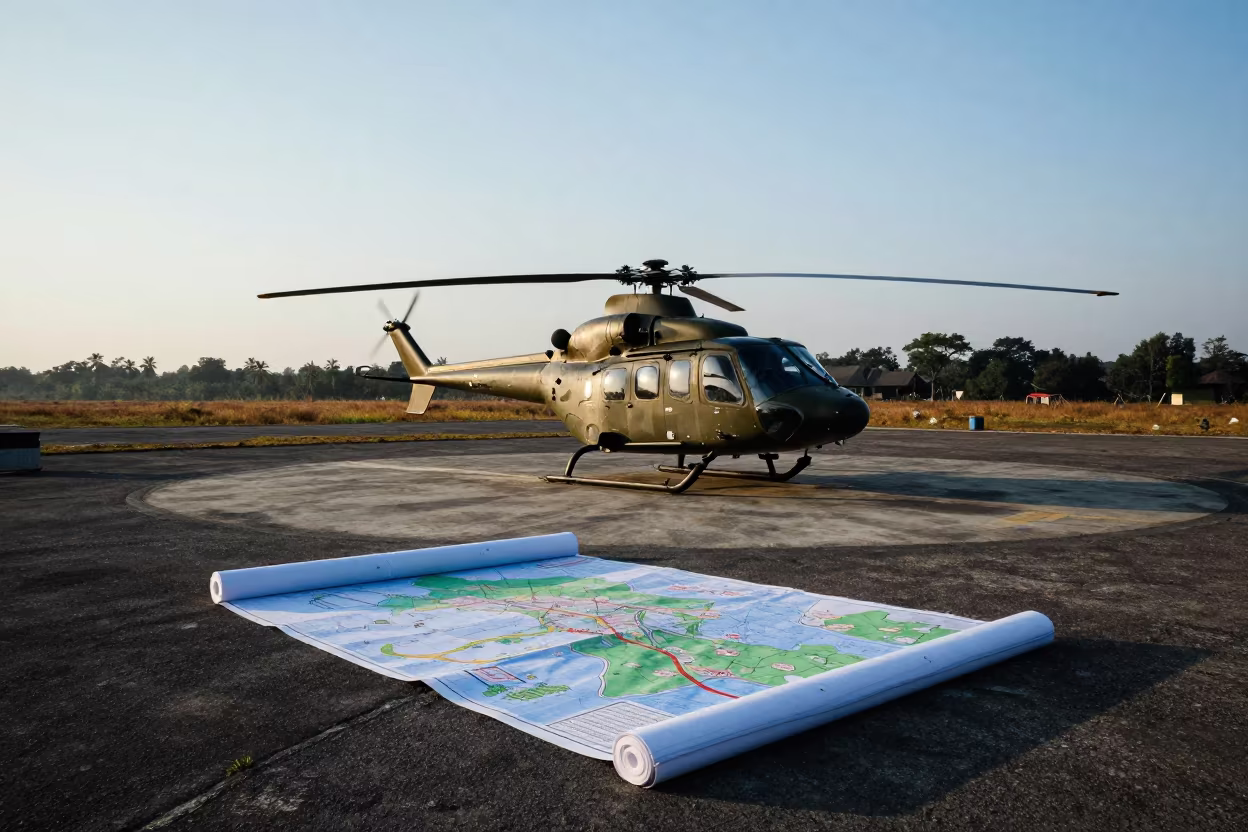
Helicopter Pad and Maps at Dawn in Mizoram

Algerian Military Map Grid Night Readiness

Gray Dawn Over Bivy Roll Cage Airbase
Midnight Map Grid on Missouri Airbase Flight Line
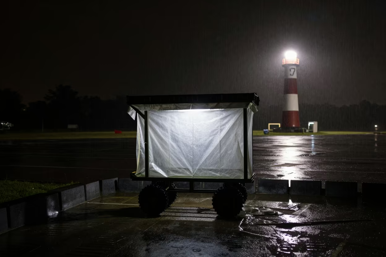
Military Poncho Liner Cart Silhouetted Night Rain
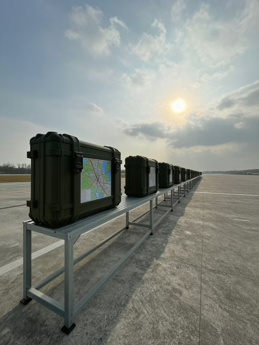
Military Map Case Shelf Airbase Morning Shadow
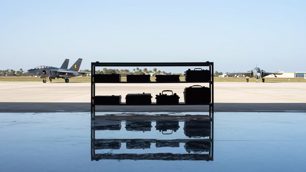
Silhouetted Map Shelf on Water Floor Castellón Airbase
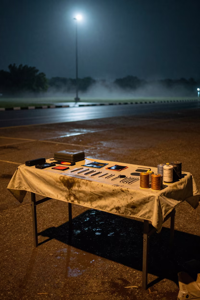
Tent Repair Kit Table After Night Exercise

Airbase Shelter Silhouette in Indigo Twilight Minas Gerais
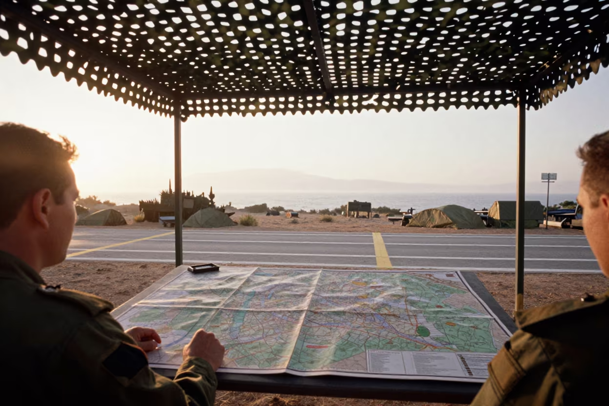
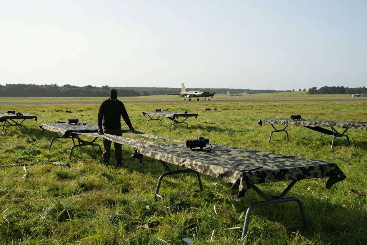
Map Table Under Camouflage Net in Early Morning Light

Military Field Stretcher Bay at Giresun Airbase

Military Chock Rack on Airbase Before Dusk
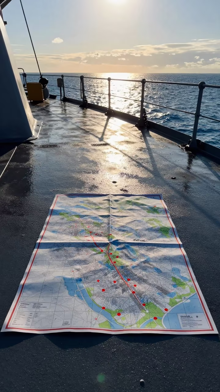
Naval Map Grid on Deck at Golden Hour
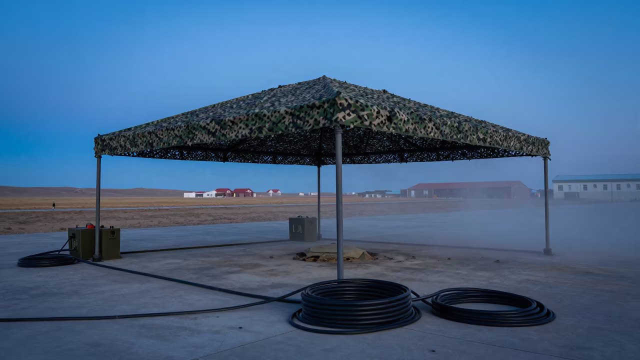
Helicopter Pad in Mongolian Twilight Dust

Low Angle Naval Hangar Threshold Morning Wind Salvador

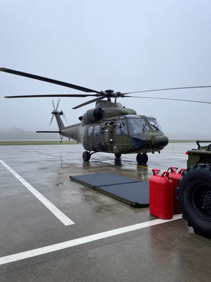
Helicopter Pad Fuel Cans Basque Dawn

Dawn light on chalk tray at Lebanon airbase

Steel Trays on Airbase Flight Line at Dusk

Gray Dawn Ruck Tin on Airbase Flight Line
Grease Pencil Map on Wet Airbase Table at Dawn

Military Briefing Stand Sunset Flight Line

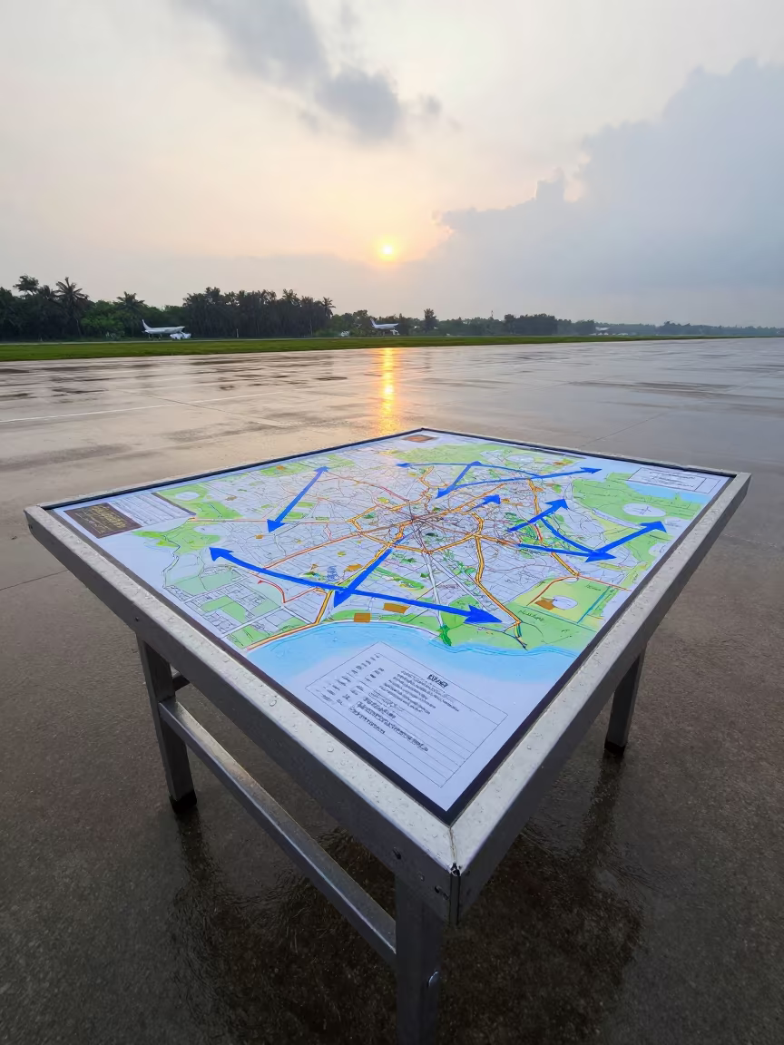
Military Map Board Sunset Rain Guangzhou
Military Helicopter Pad Dawn Monsoon Portugal
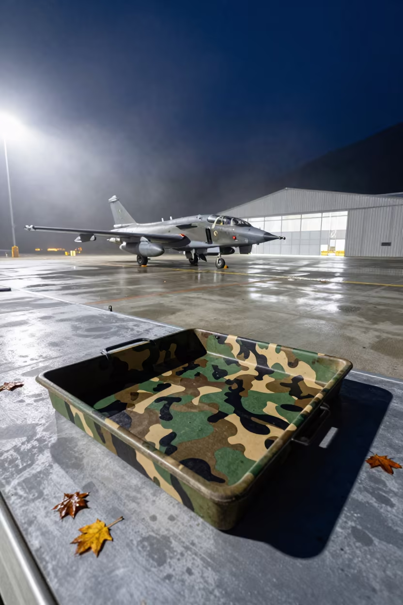
Camouflage Paint Tray on Winter Airbase Mist
Iran Airbase Checkpoint Barrier Night Dust

Helicopter Pad Sandbags Dawn Light Sweden
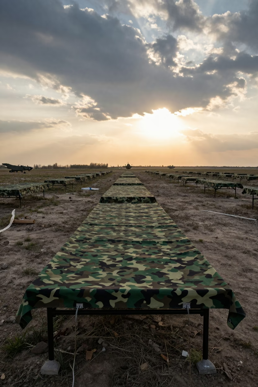
Camouflage Net Over Field Tables Serbian Airbase Sunset
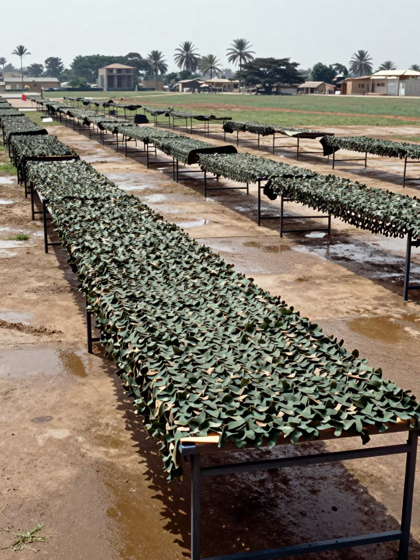
Camouflage Net Over Field Tables Omdurman Airbase
Camouflage Net Over Tables Scotland Airbase

Drill Line Silhouette Under Autumn Airbase Skies

Gray Dawn Ration Heater on Mississippi Flight Line

Military Salt Packet Crate on Airbase Flight Line

Hangar Silhouette With Hawsers in Indigo Twilight
Sentry Stove Corner on Airbase Flight Line
Comments