Map Table on Airbase Flight Line at Dawn
by Joel Roth
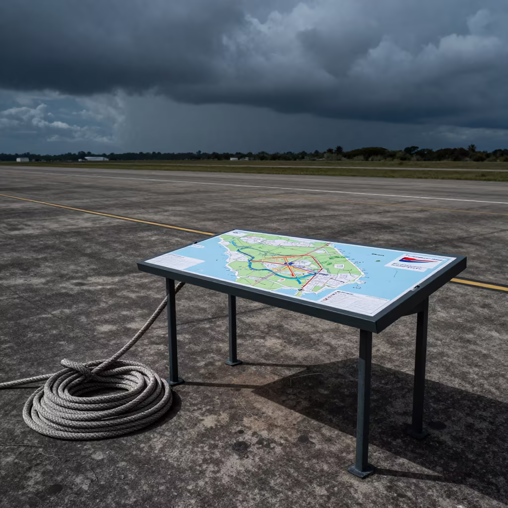
Deep shadows dominate the foreground where a tactical map table rests on the concrete flight line near Acarigua. A thick, salt-stiffened hawser coils beside the table, its fibers bleached white by the storm and hardened by the cool season air. Rim light catches the curved edges of the rope and the metal legs of the table, separating them from the dark asphalt. Faint leading lines of the tarmac stretch into the distance, guiding toward the gray horizon where the storm front is lifting. The sky above is a pale, clearing blue, against the heavy, wet look of the ground. Shadows stretch long and sharp across the surface, showing the stillness before the day's operations begin.
Free to download. CDN hosting requires a link back to this page. Terms
Similar Images
Military Map Grid Before Dawn Over Chorzów Airbase

Helicopter Pad and Maps at Dawn in Mizoram

Hangar Silhouette With Hawsers in Indigo Twilight

Airbase Shelter Silhouette in Indigo Twilight Minas Gerais
Military Chock Rack on Airbase Before Dusk

Nautical Dawn Map Grid Over Airbase Asmara

Naval Rope Locker on Cuban Airbase Morning

Helicopter Pad with Coiled Cables at Dawn

Gray Dawn Over Bivy Roll Cage Airbase
Winter Airbase Map Grid Overlay Readiness

Helicopter Pad in Mongolian Twilight Dust
Military Map Table Silhouette at Perth Airbase Twilight

Military Briefing Stand Sunset Flight Line

Night Maintenance Convoy Guide Paddle at Indiana Airbase

Helicopter Pad Sandbags Dawn Light Sweden
Morning Radio Post Silhouette Anaco Airbase

Dawn light on chalk tray at Lebanon airbase

Tent Repair Kit Table After Night Exercise

Military Airbase Flight Line Blue Hour Chocks
Grease Pencil Map on Wet Airbase Table at Dawn

Gray Dawn Ration Heater on Mississippi Flight Line
Naval Hangar Deck Rotor Blades Under Camouflage Net
Silhouetted Landing Zone Kit at Midnight Airbase

Water Can Rack on Aktau Airbase Flight Line
Gray Dawn Over Hargeisa Airbase Range Flag
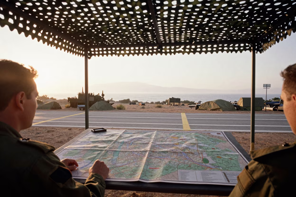
Map Table Under Camouflage Net in Early Morning Light
Helicopter Pad at Dawn with Rolled Maps
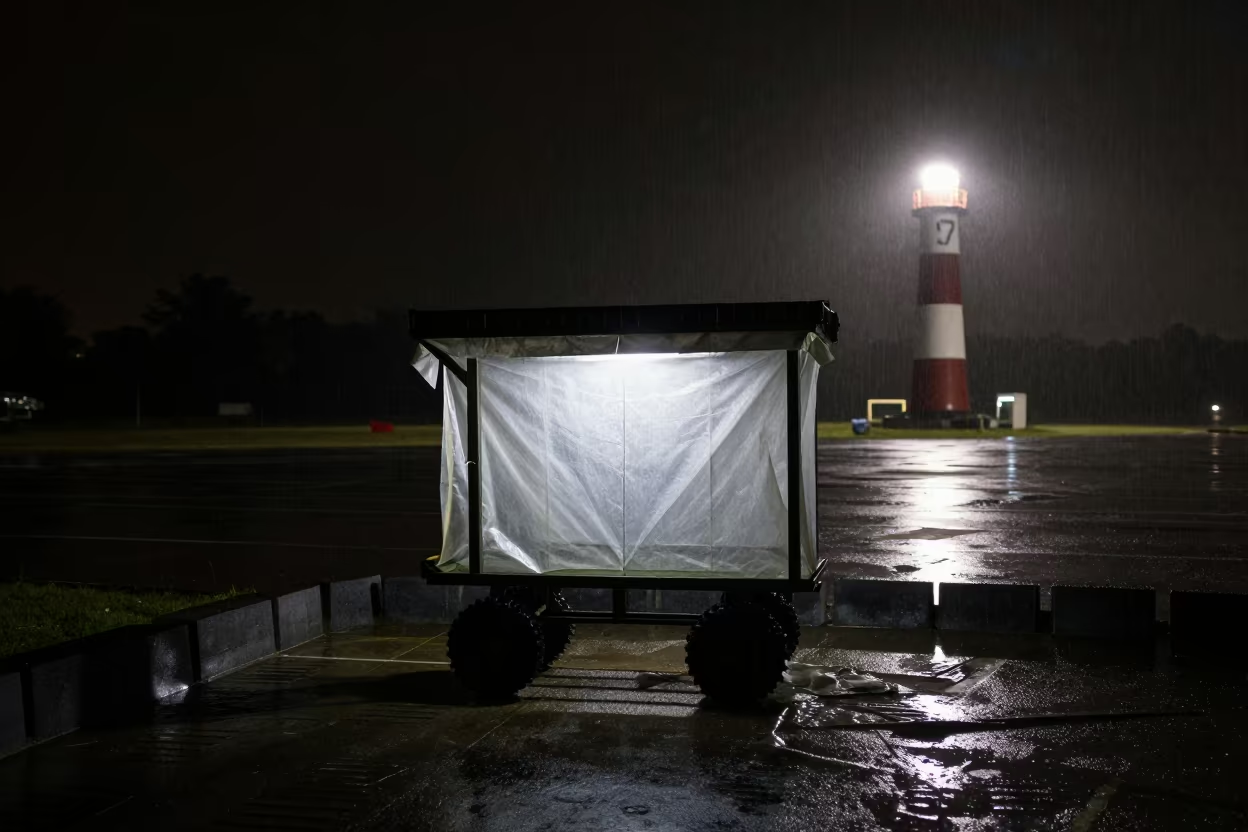
Military Poncho Liner Cart Silhouetted Night Rain
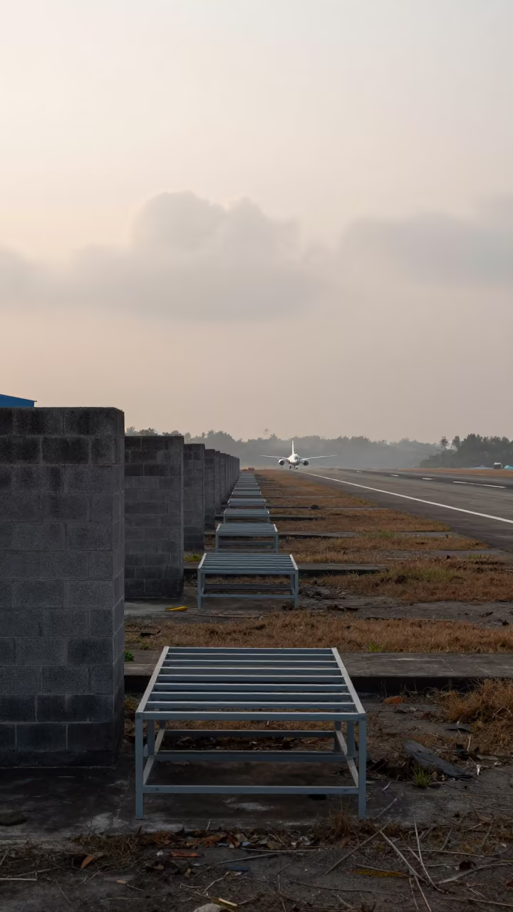
Dawn Light on Sumatra Airbase Form Rack

Helicopter Pad Fuel Cans Basque Dawn
Silhouetted Map Shelf on Water Floor Castellón Airbase

Military Generator Startup Board Bolivia Flight Line
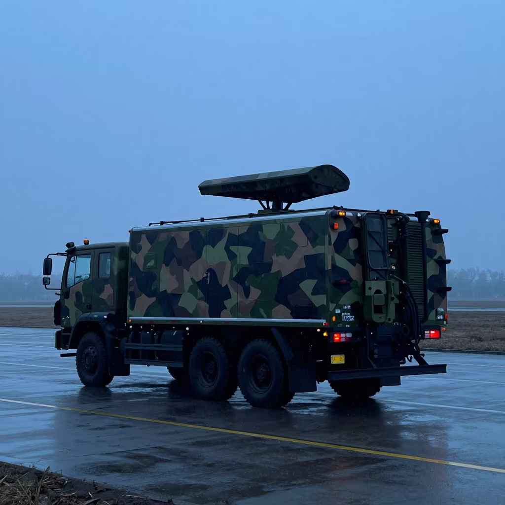
Radar Truck Silhouette in Sleet at Haikou Airbase

Midnight Map Grid on Missouri Airbase Flight Line

Low Angle Naval Hangar Threshold Morning Wind Salvador
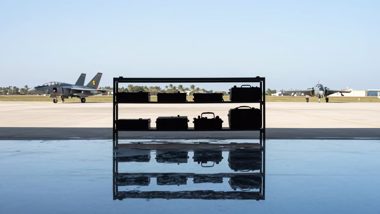
Military Map Case Shelf Airbase Morning Shadow

Estonian Airbase Tow Hookup Storm Cleanup Night
Night Rain Chocks and Vests on Airbase Flight Line

Comments