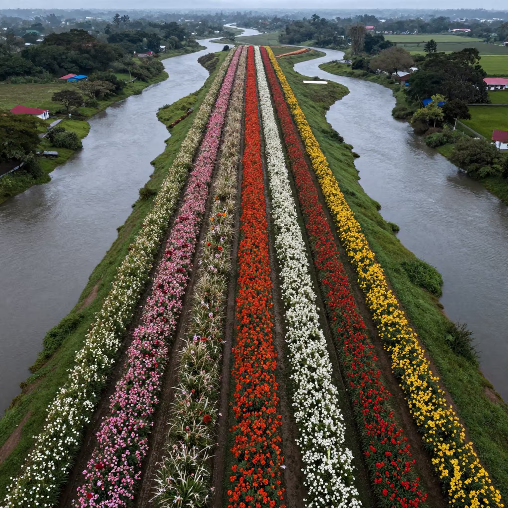
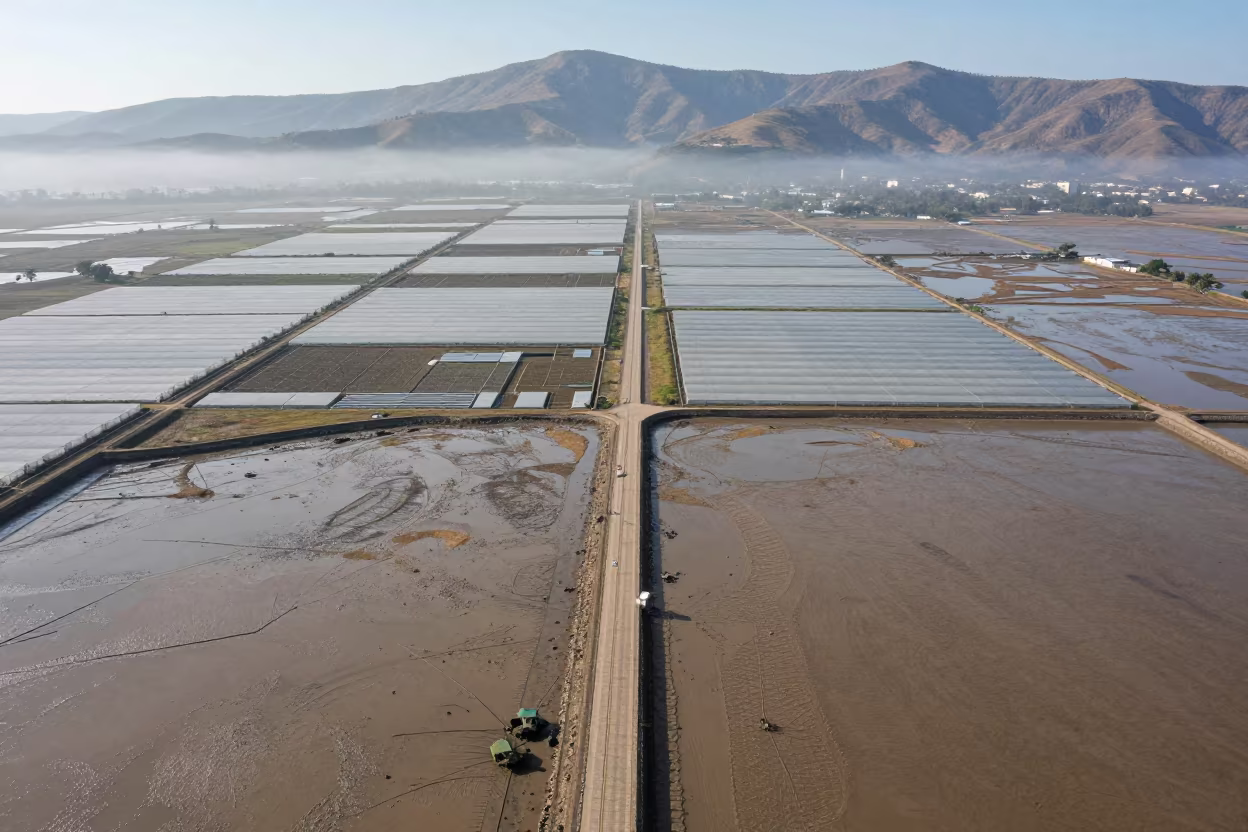
Aerial Monsoon Flower Bands Near Tegucigalpa
by Isla Rivera
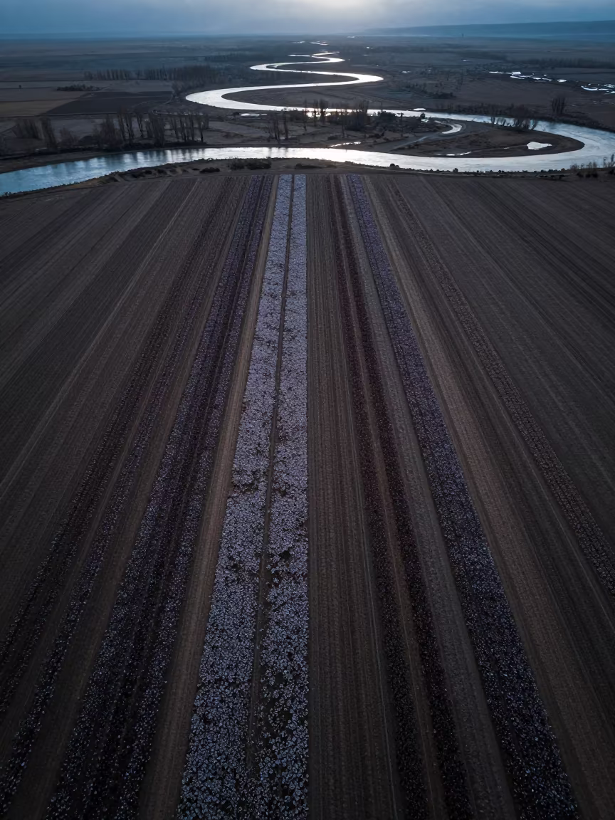
Cold silver dawn light spills over a vast agricultural patchwork, where parallel bands of flowering crops stretch toward the horizon. The fields form distinct stripes of violet, yellow, and green, separated by narrow dirt tracks that look like faint stitching on the earth. Below, braided river channels twist through the valley floor, their muddy waters reflecting the pale morning sky. Wind ripples across the crop tops, creating a textured, shimmering surface that moves in unison. The landscape feels expansive and orderly, with the geometric precision of the planting contrasting against the organic curves of the waterways. Shadows remain long and soft, showing the low angle of the rising sun.
Free to download. CDN hosting requires a link back to this page. Terms
Similar Images
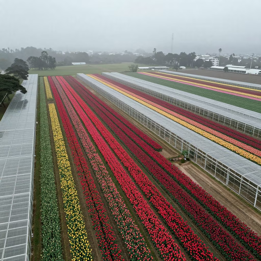
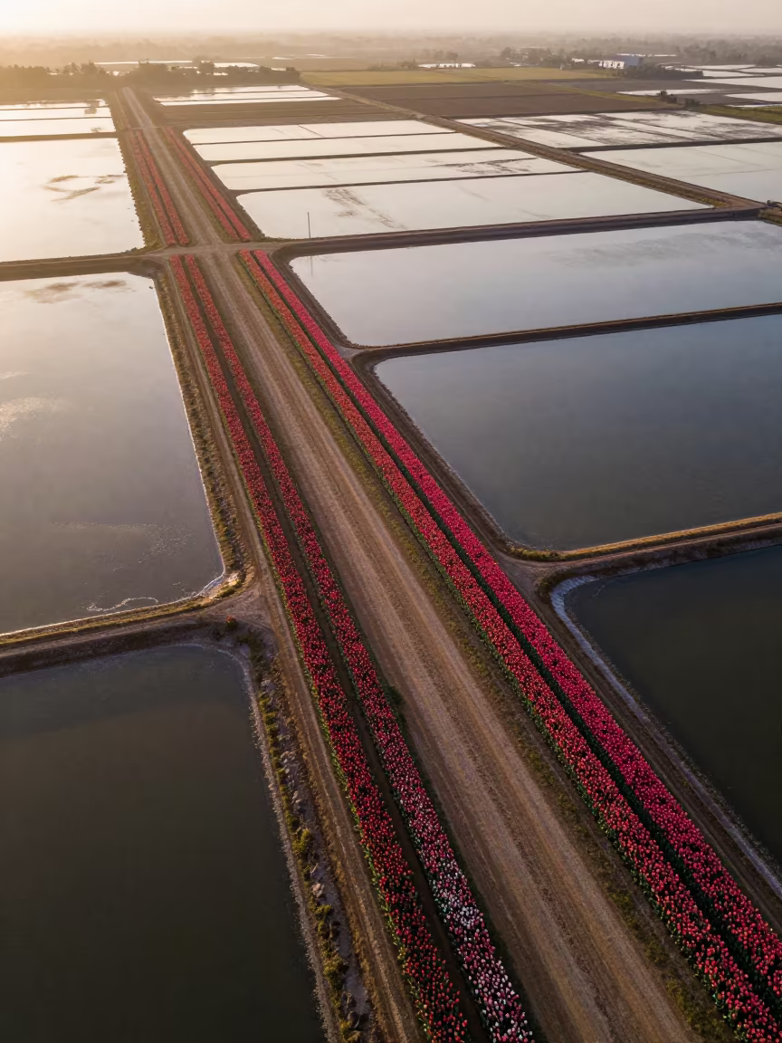
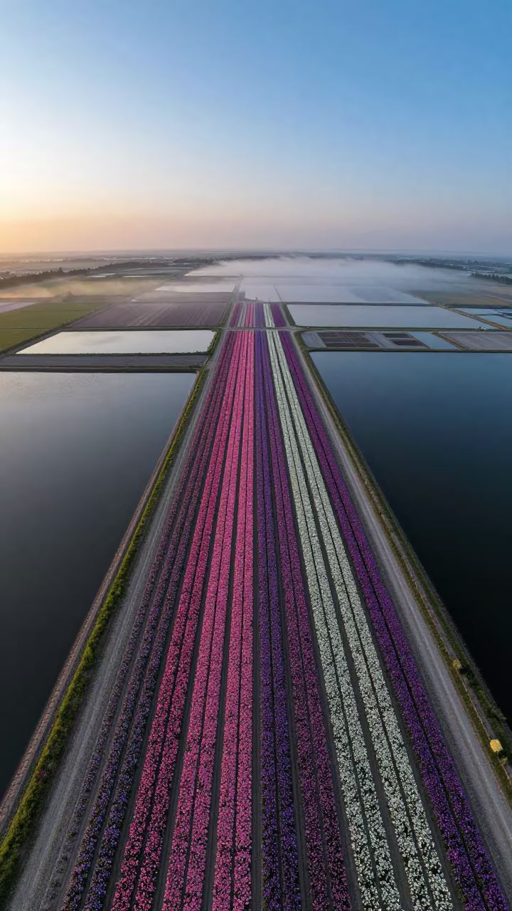
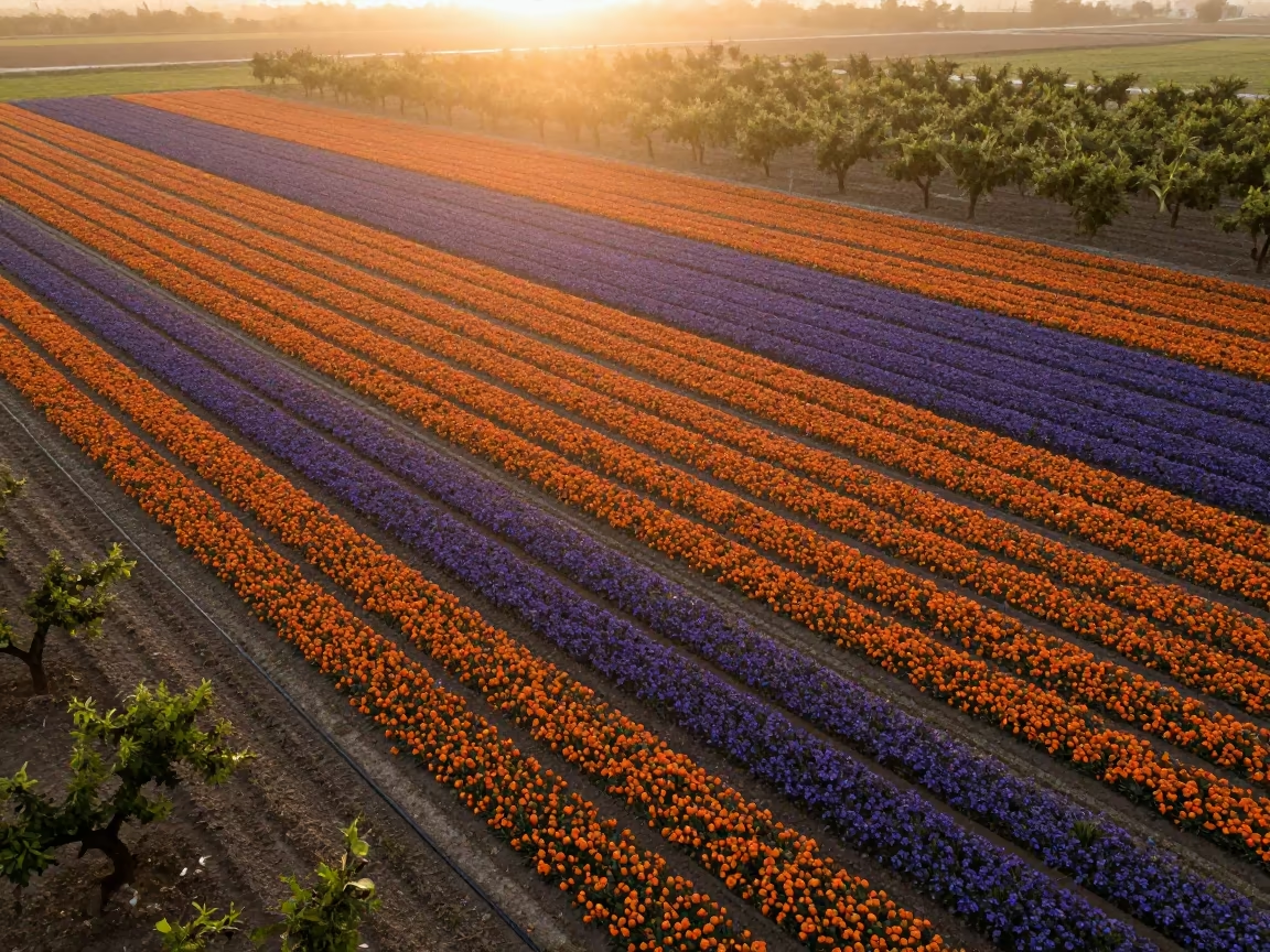
Aerial Tulip Fields Rio Greenhouse Stripes
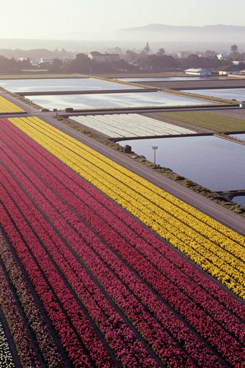
Aerial Flower Fields Near Montevideo Salt Ponds
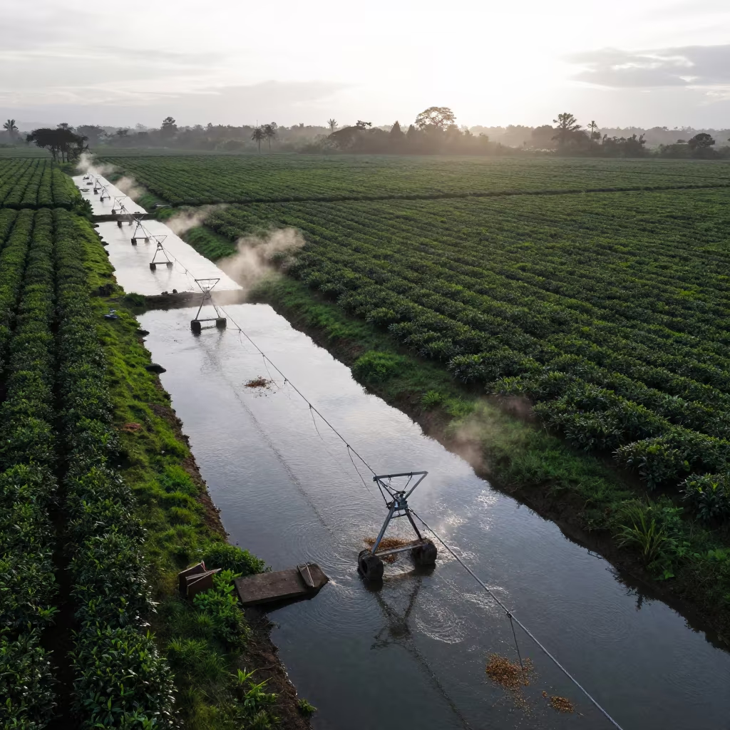
Silhouetted Irrigation Canals at Dawn in Nicaragua
Aerial Tulip Fields Benin Salt Ponds
Aerial Spring Dawn Over Salt Ponds Fields
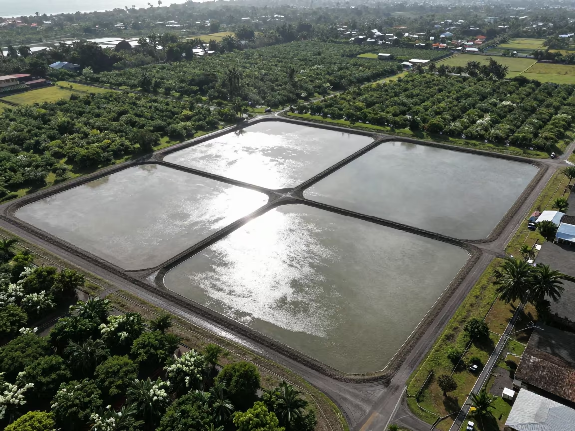
Aerial View of Salt Ponds Nicaragua
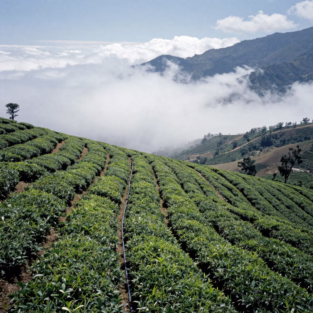
Aerial Tea Plots Descending Into Clouds San Salvador
Winter Flower Fields Above Tajik River Meanders

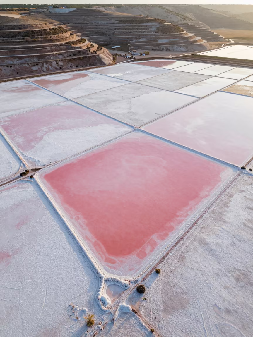
Aerial View of Pink Salt Ponds Near Quezon City

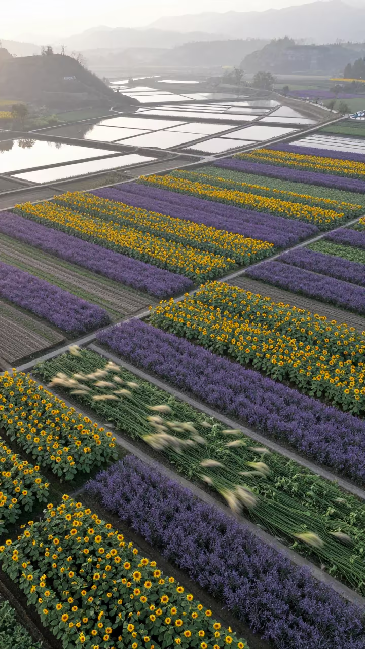
Sunflower Lavender Fields Above Salt Ponds
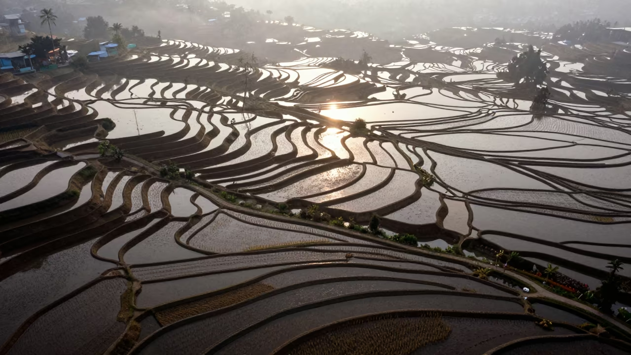
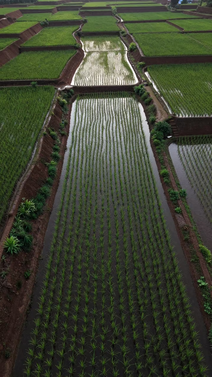
Aerial View of Rice Terraces at Dawn
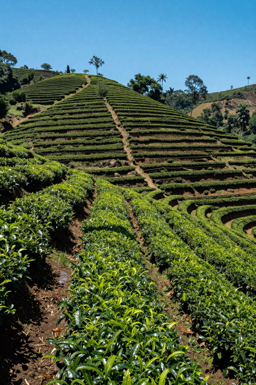
Aerial Tea Plantation Rows in Lapa Mist
Aerial Flower Bands Over Salt Ponds at Blue Hour
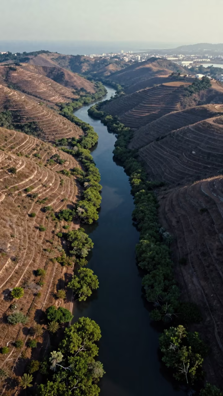
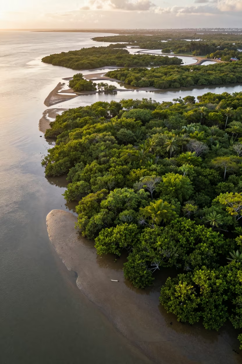
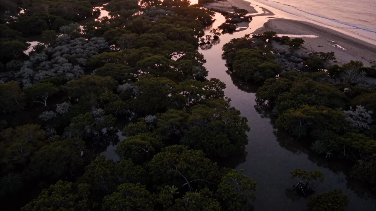
Aerial View of Queensland Mangrove Channels at Dawn
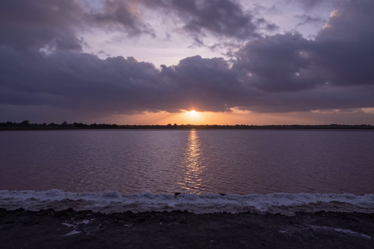
Salt Basin Silhouette Monsoon Sunset Nicaragua
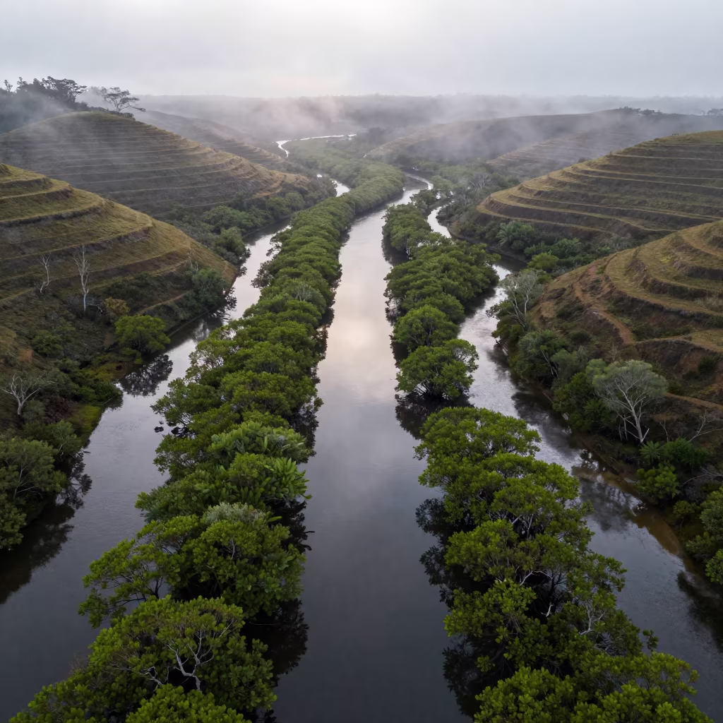
Aerial View of Mangrove Channels Before Sunrise
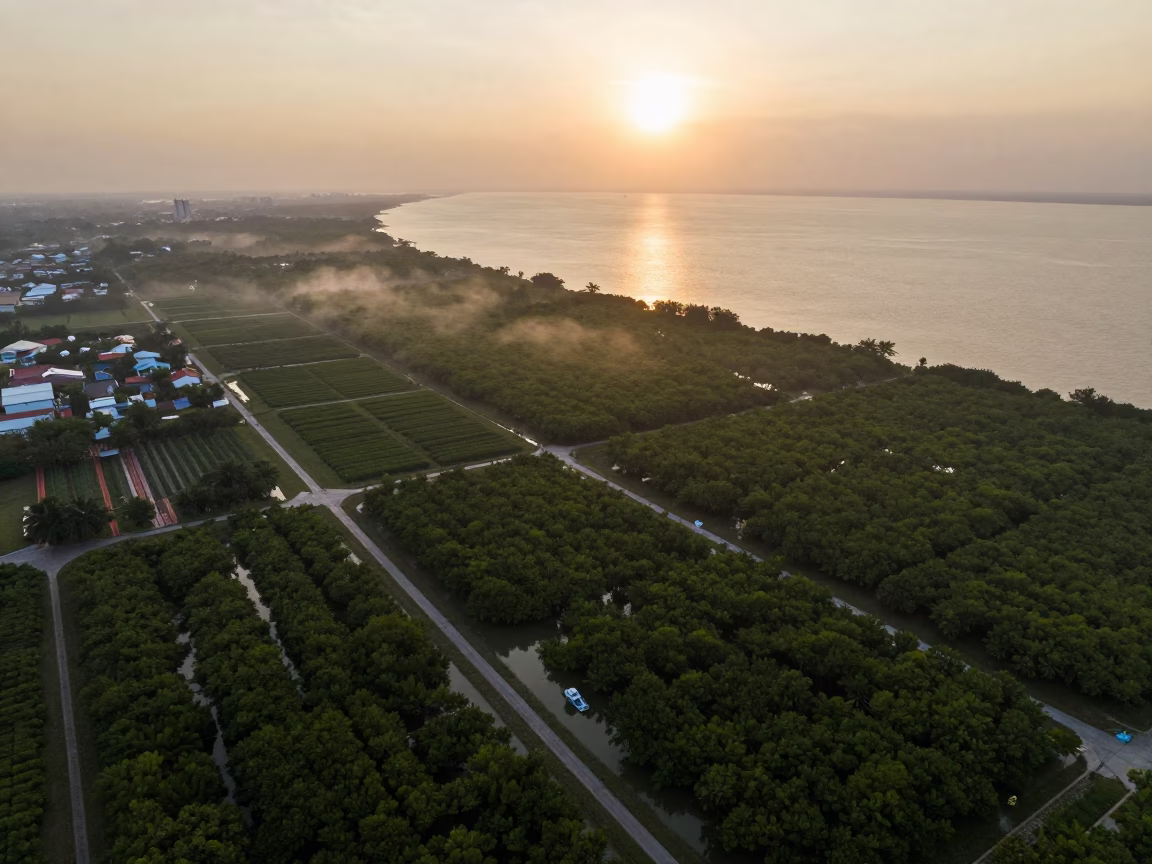
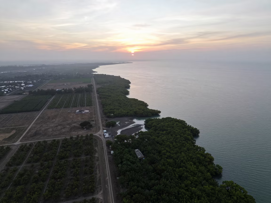
Mangrove Coastline and Irrigation Fields at Sunset
Aerial Mangrove Coastline Salvador Evening Light
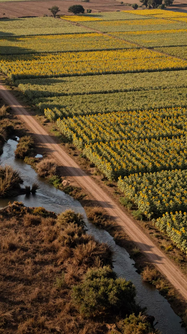
Sunflower Patchwork Above Braided River Channels
Aerial Salt Ponds Pink White Arizona

Silhouette Tulip Fields with Frozen Water Splash
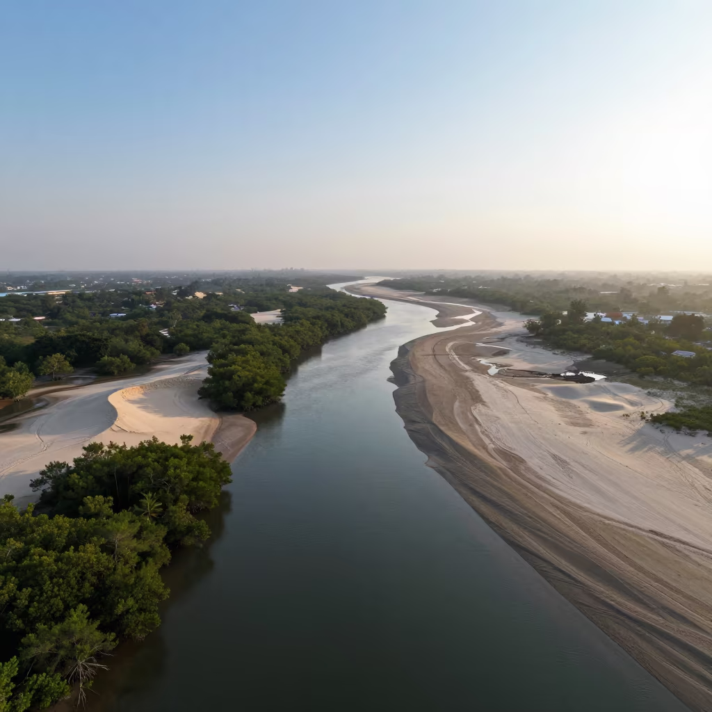
Aerial River Delta at Dawn Near Cajamarca
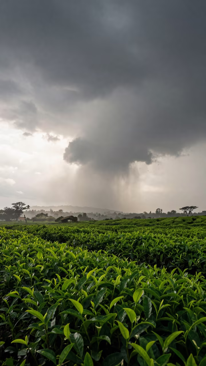
Supercell Mesocyclone Over Benin Tea Plantation
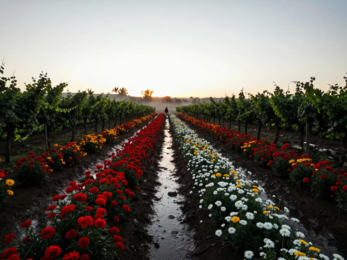
Oaxaca Flower Farms Dawn Silhouette
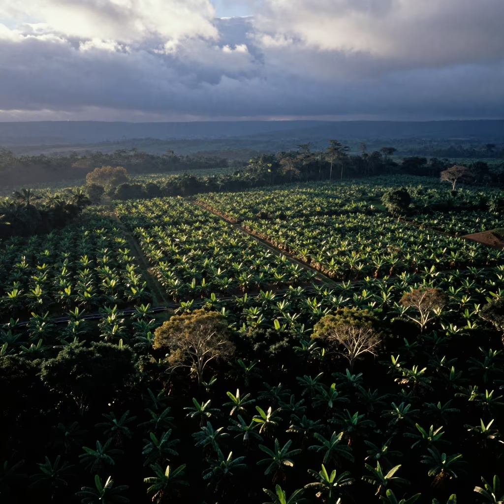
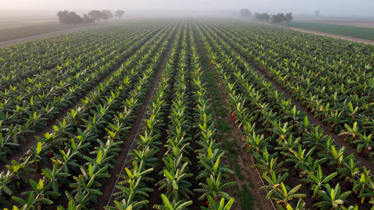
Aerial View of Cocoa and Banana Plantations at Dawn
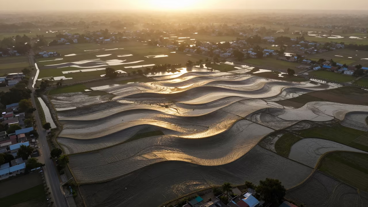
Aerial Wave Patterns Refracting Over Telangana Fields

Aerial View of Wind Turbines Over Salt Ponds
Aerial Tidal Flats Greenhouse Grids Haiti
Aerial Mangrove Channels After Rain Near Bangkok
Aerial View of Philippines Mangrove Coastline at Sunset
Copper Silhouette of Mangrove Channels Aerial View
Aerial Cocoa and Banana Plantations Colorado Dawn
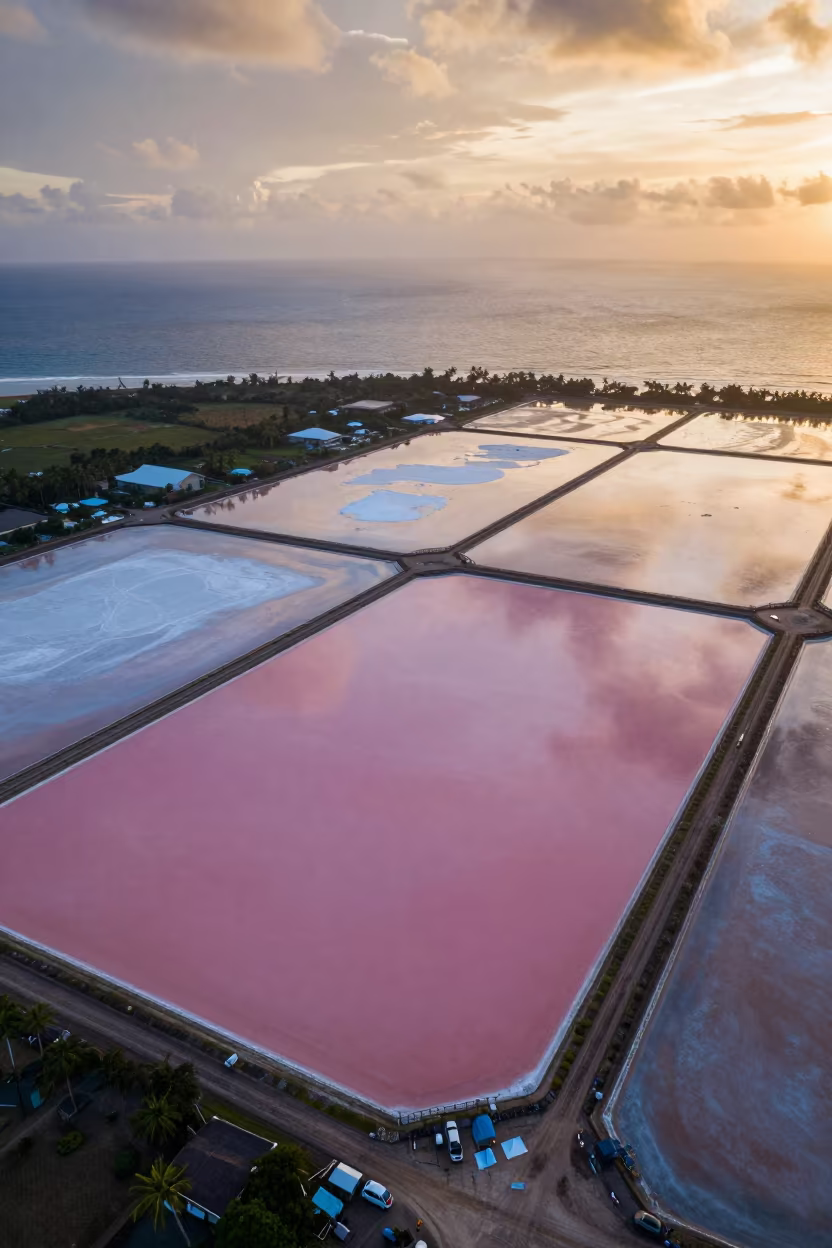
Pink Salt Ponds Under Amber Sunset Sky
Aerial View of Flower Fields in Iraq

Aerial Lavender Fields India Rainy Season

Aerial Patchwork Orchards Zapopan Dunes Wet Season

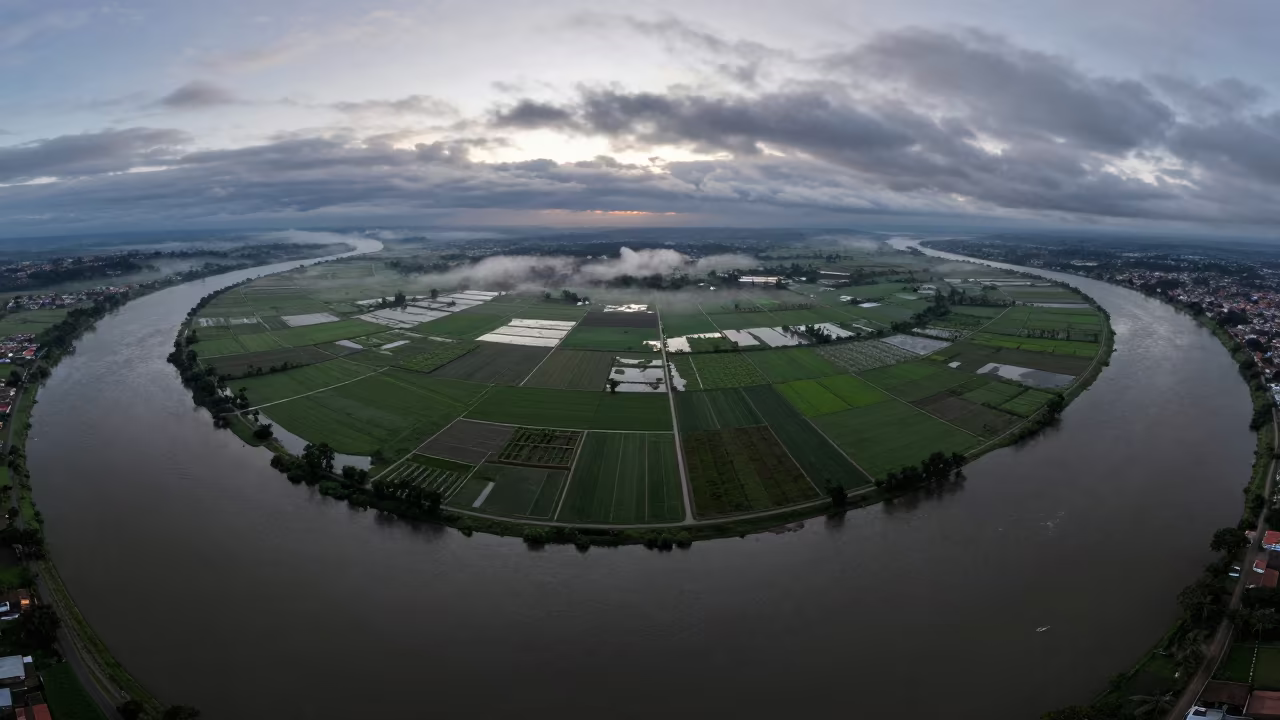
Rice Terraces Over Braided River Channels
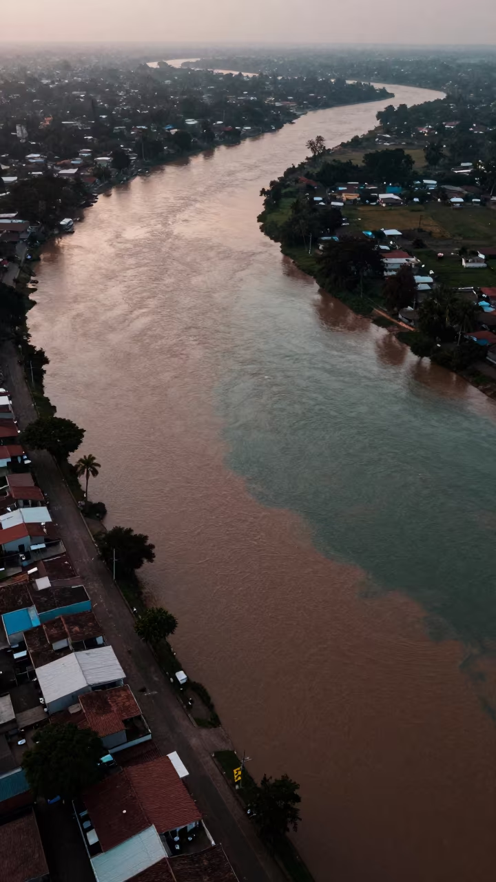
Aerial River Confluence Mixing Muddy and Clear Waters
Comments