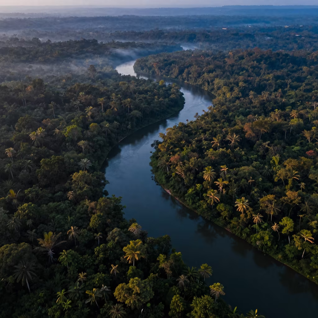
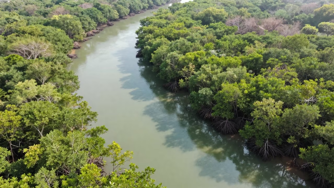
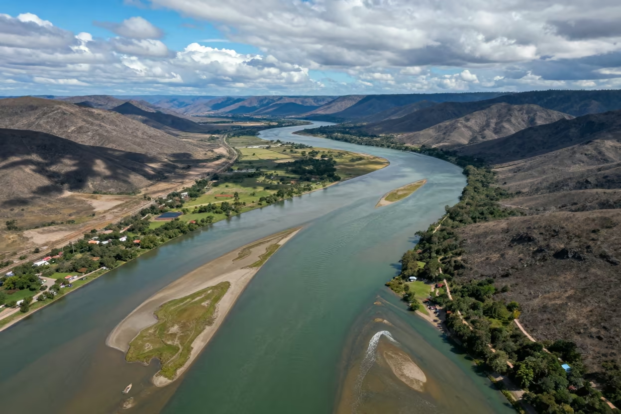
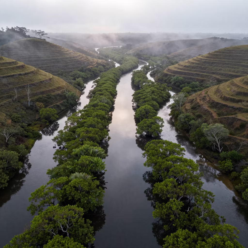
Aerial Forest River Comoros Irrigation Geometry
by Dwight Hogan
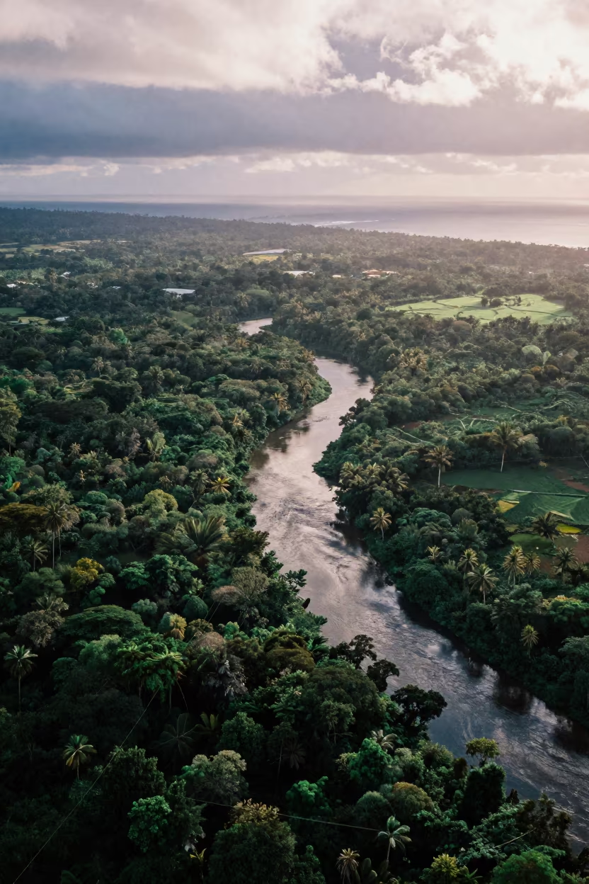
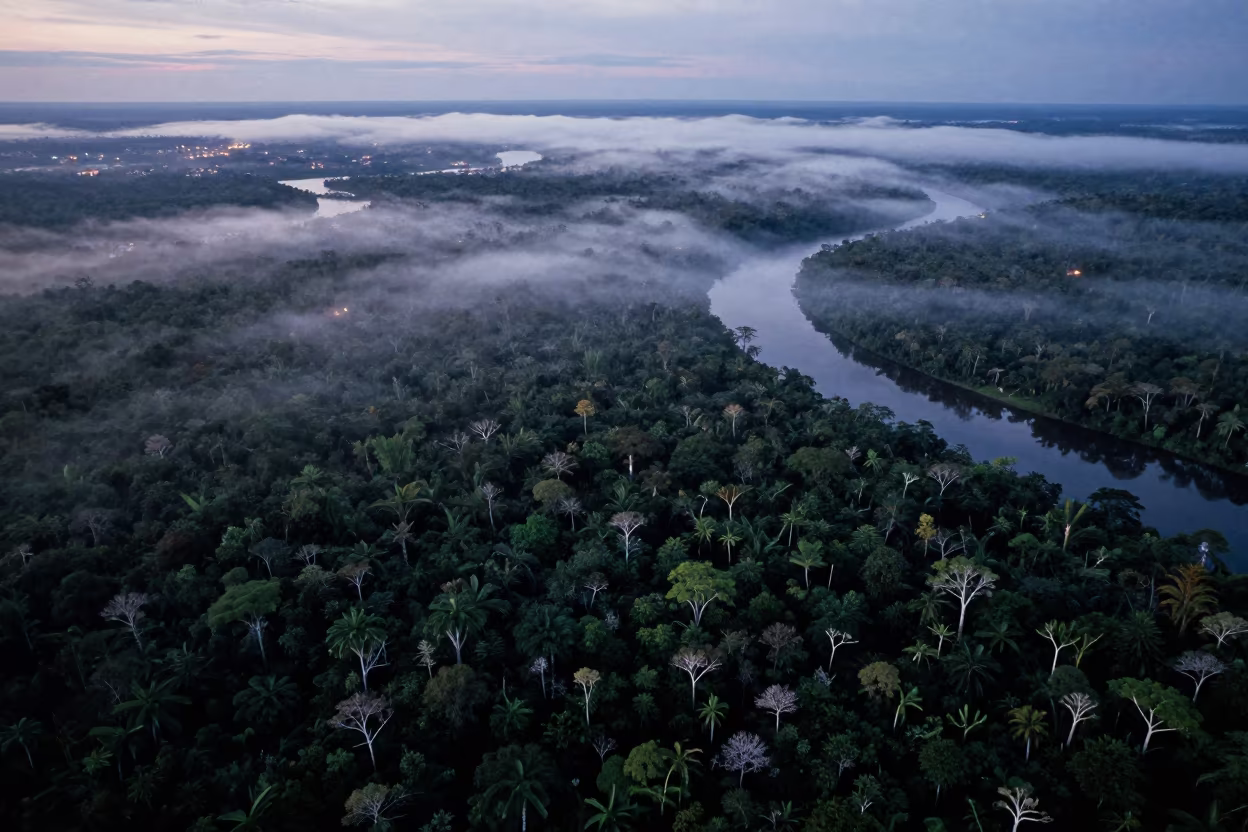
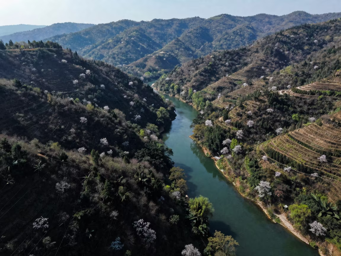
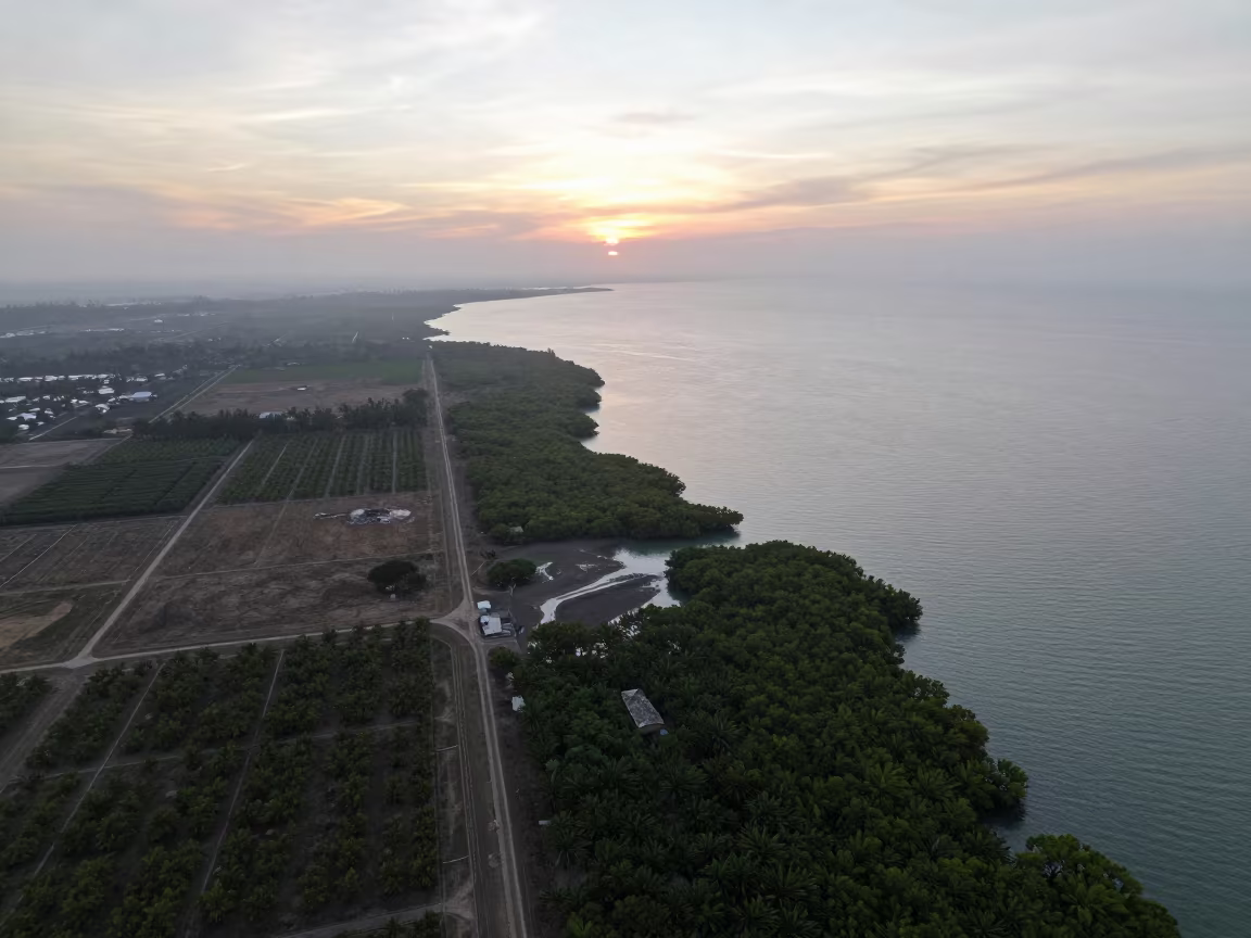
Hard coastal glare slices through low clouds, revealing a dark ribbon of river winding through dense green canopy in the Comoros. The rainy season saturates the leaves into deep emerald and black tones, while bright patches of exposed earth show the irrigation geometry below. Diagonal lines of water and cleared land create sharp tension across the frame. The river curves sharply, bordered by thick vegetation that absorbs the intense afternoon light. Patches of white cloud drift over the landscape, casting soft shadows that shift the texture of the forest floor. A narrow channel of water reflects the sky, against the rough, matte surface of the surrounding foliage.
Free to download. CDN hosting requires a link back to this page. Terms
Similar Images
Monsoon Jungle River Vanishing Under Canopy Mauritius
Aerial View of Serpentine River Through Jungle Canopy
Aerial Dawn River Through Forest Canopy UAE
Blue Hour River Aerial View Over Monsoon Jungle
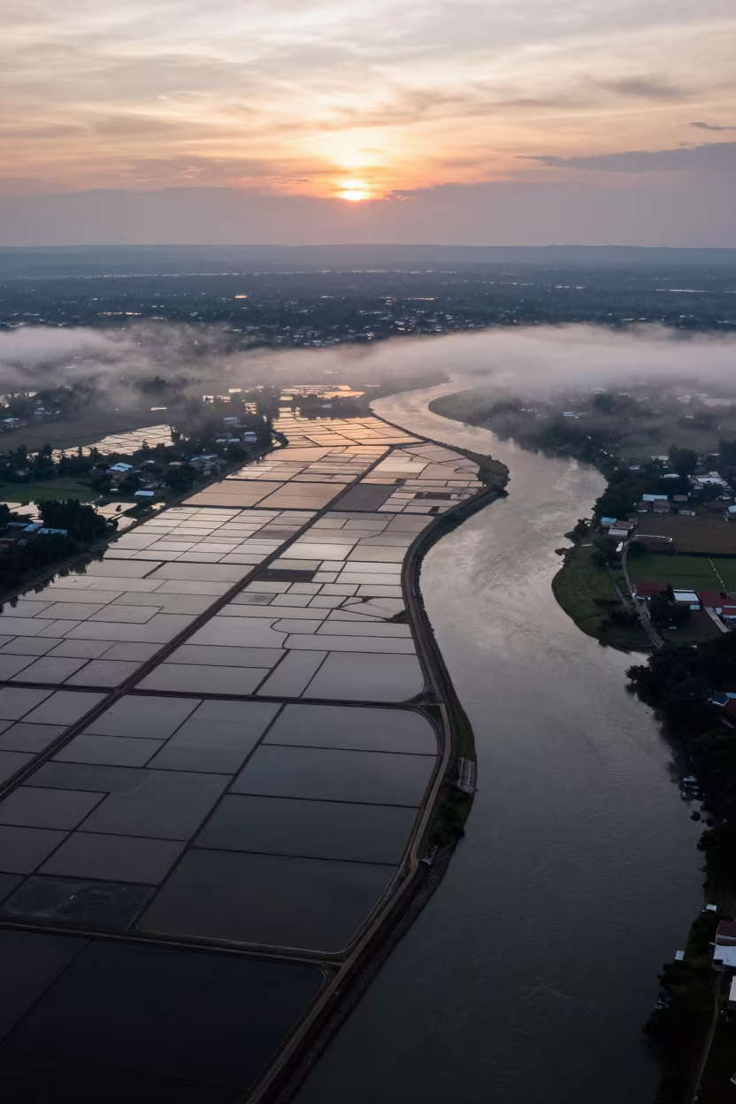
Aerial Salt Ponds Borneo River Monsoon Fog
Aerial River Islands Eritrea Mist
Braided Floodwater Aerial View Near Tamale
Aerial View of Goa Mangrove Channels
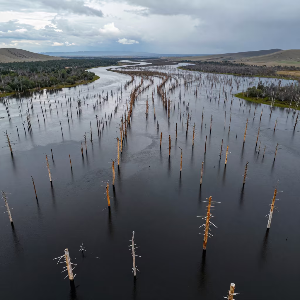
Aerial View of Flooded Forest Trunks in Mongolia
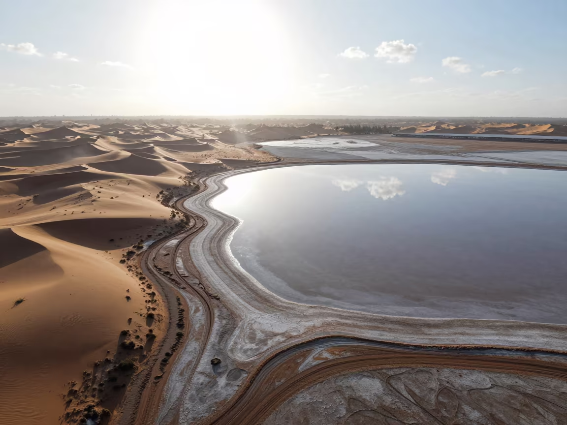
Salt Flat Sky Reflection Above Comoros Dunes
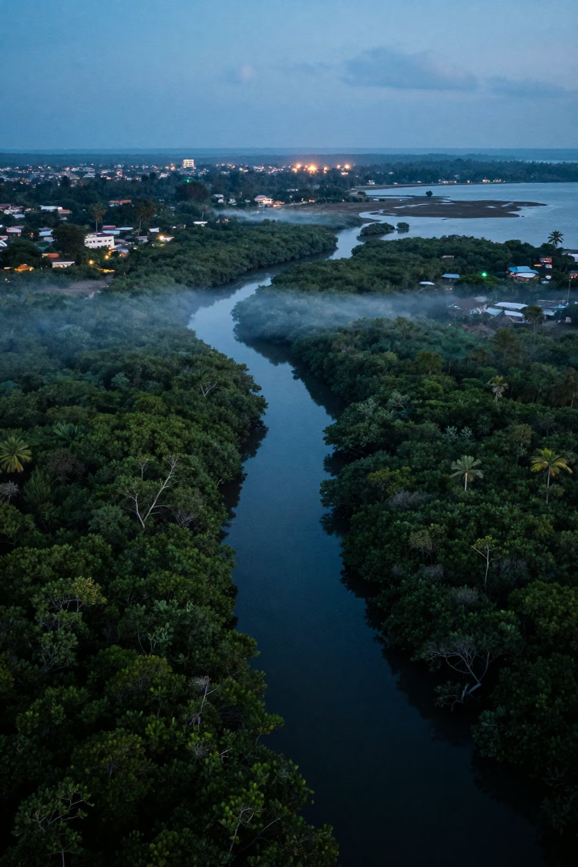
Aerial View of Dar es Salaam Mangrove Channels at Dusk

Land Rover Crossing River in Mauritius Rain
Aerial view of braided river channels near Havana
Aerial River Green Marsh Greek Islands
Aerial View Flooded Forest Silhouette Coast
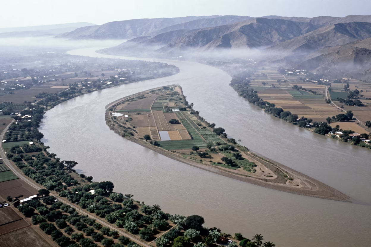
Aerial River View with Sandbars and Islands Near Mosul
Aerial View of Queensland Mangrove Channels at Dawn
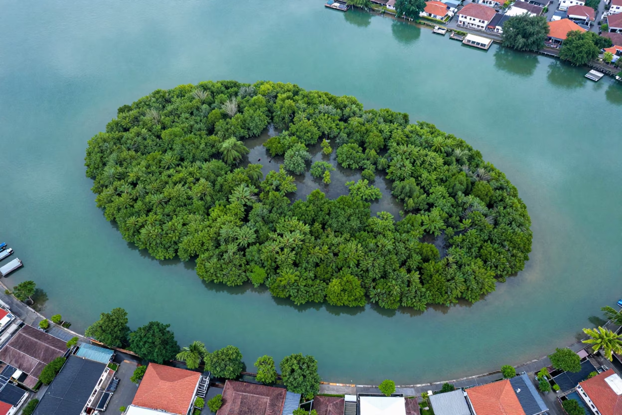
Mangrove Island Above Jakarta Rooftops
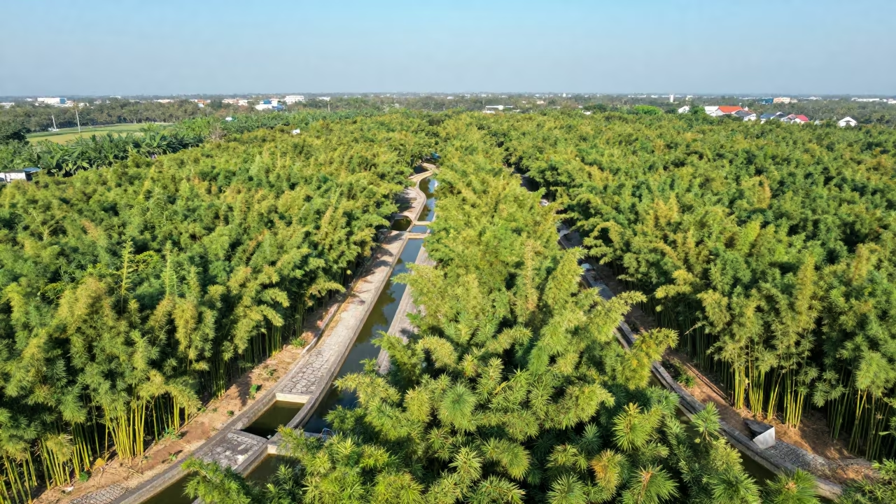
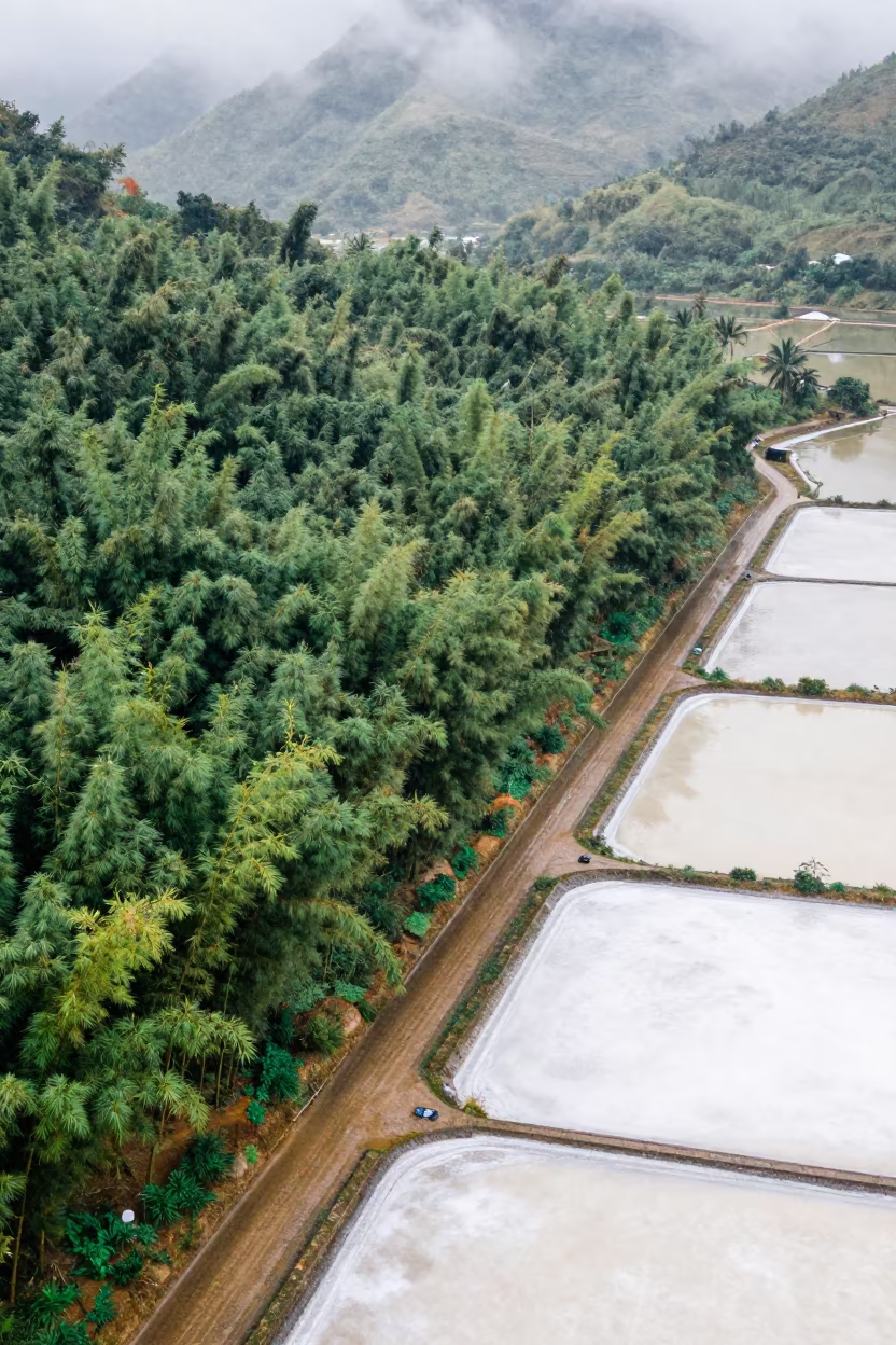
Aerial Bamboo Forest Irrigation Geometry Vietnam
Aerial Mangrove Channels After Rain Near Havana
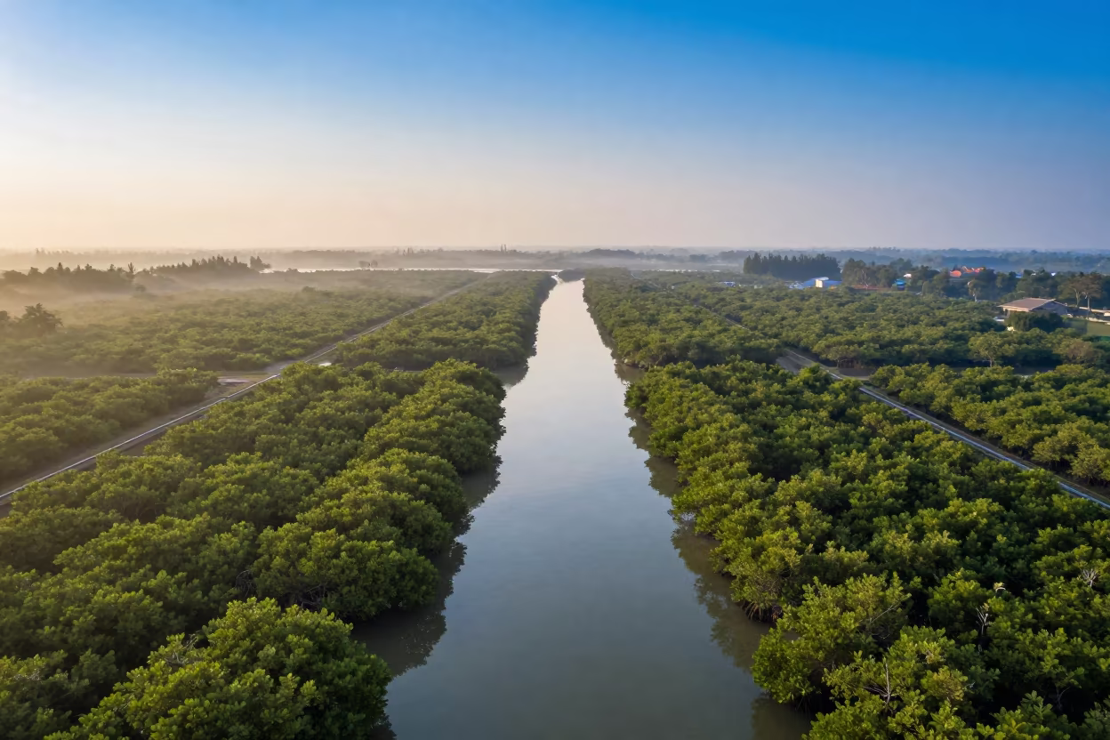
Winter Aerial View of Mangrove Channels Ho Chi Minh
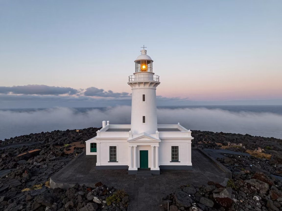
Amber Sunset Lighthouse on Comoros Rocky Island
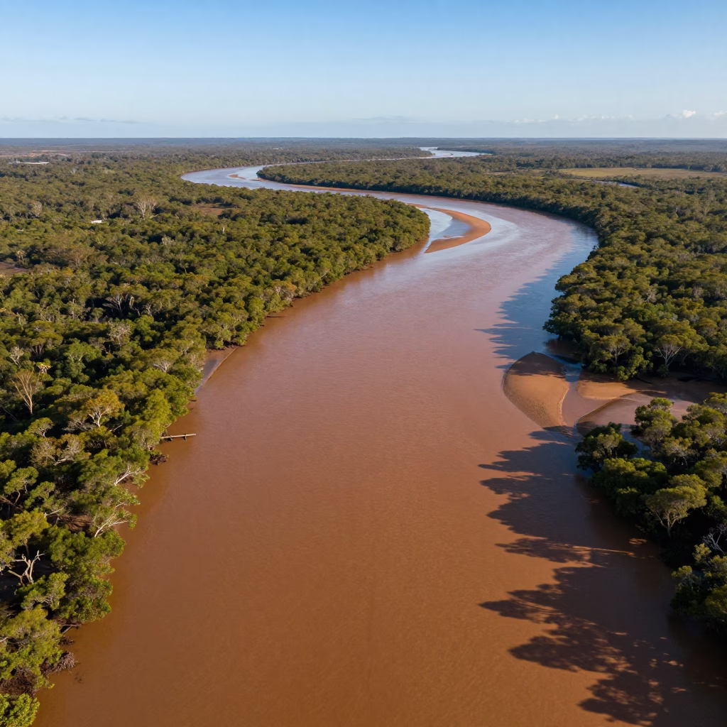
Aerial View of Queensland Mangrove Channels
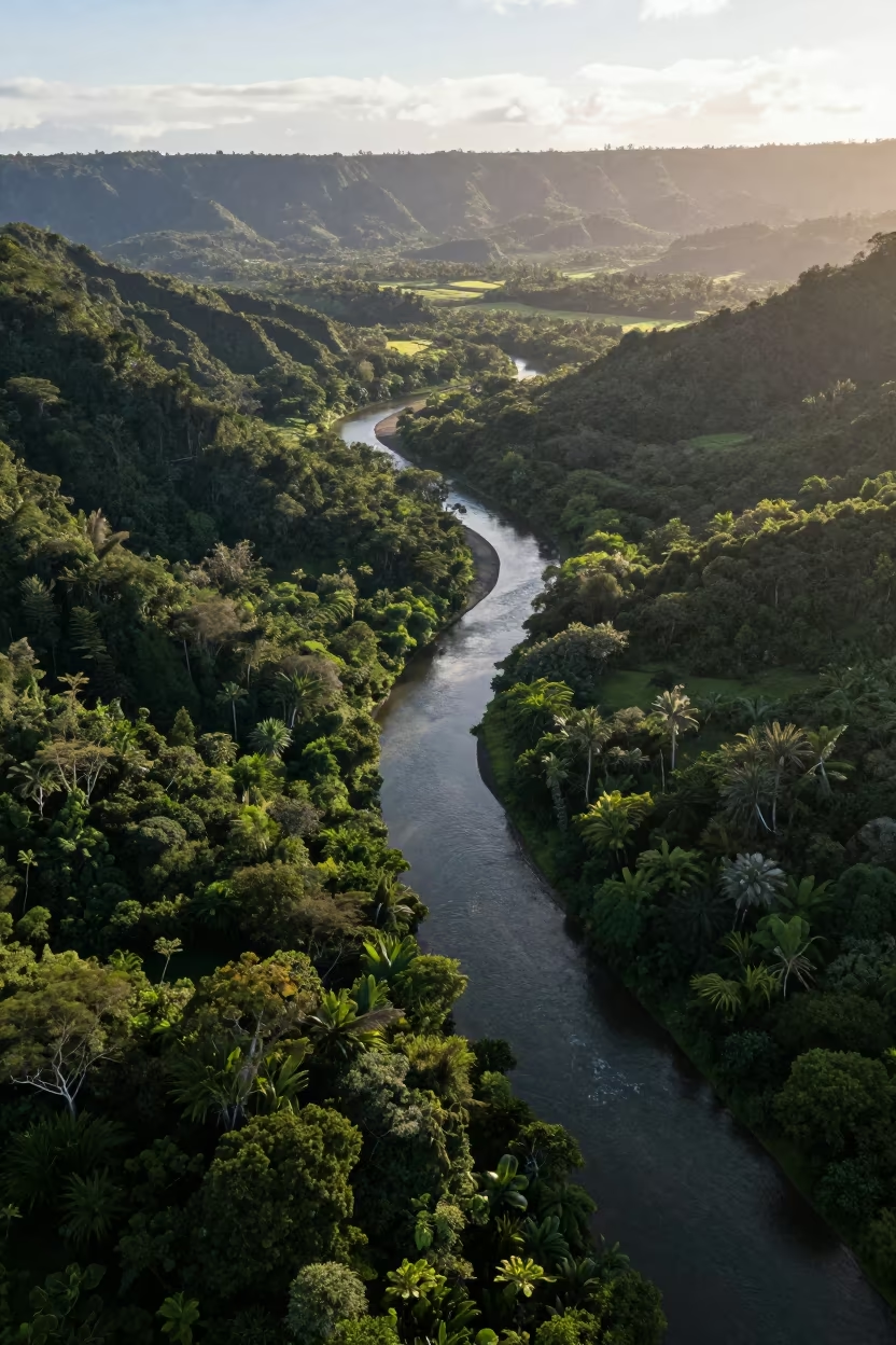
Serpentine River Through Hawaii Jungle Canopy

Helicopter Circling Borneo Fire Reflected Water
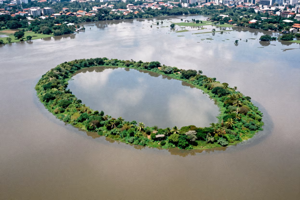
Aerial Coral Atoll Reflection Floodplain Rio
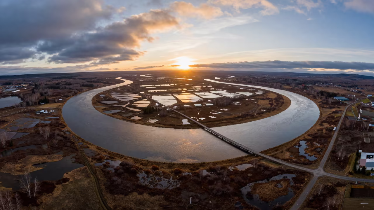
Aerial View of Kamchatka River Delta at Sunset
Drone View Bamboo Forest Vietnam Rainy Season
Aerial Boreal Forest Monsoon Canopy with River Braids
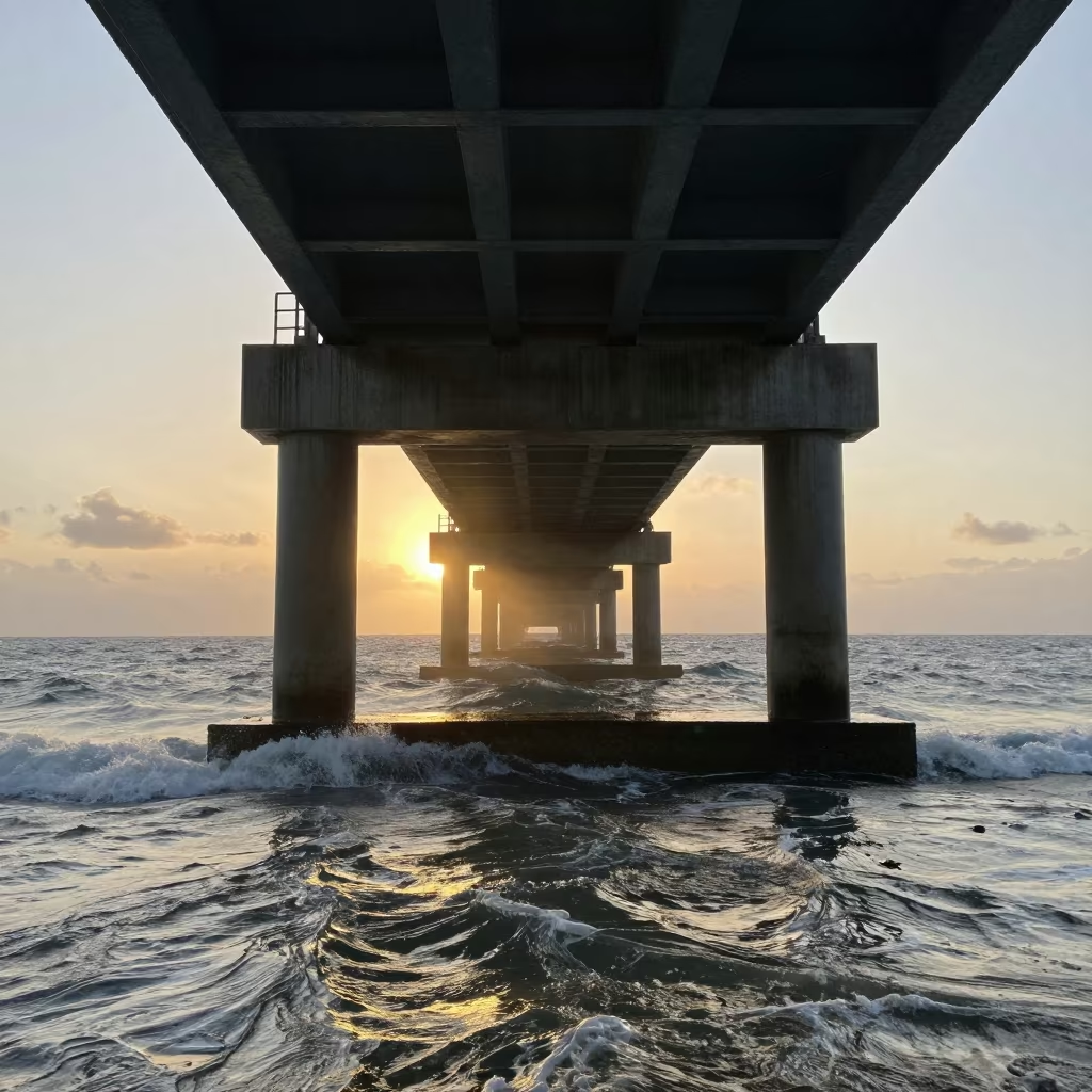
Monsoon Sunset Glow on Bridge Pier
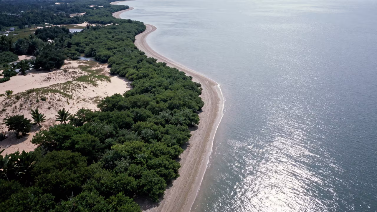
Aerial View of Malaysian Mangrove Coastline and Open Water
Dawn Mangrove Channels Aerial View Near Jakarta
Aerial River Snaking Through Forest Canopy Near Chengdu
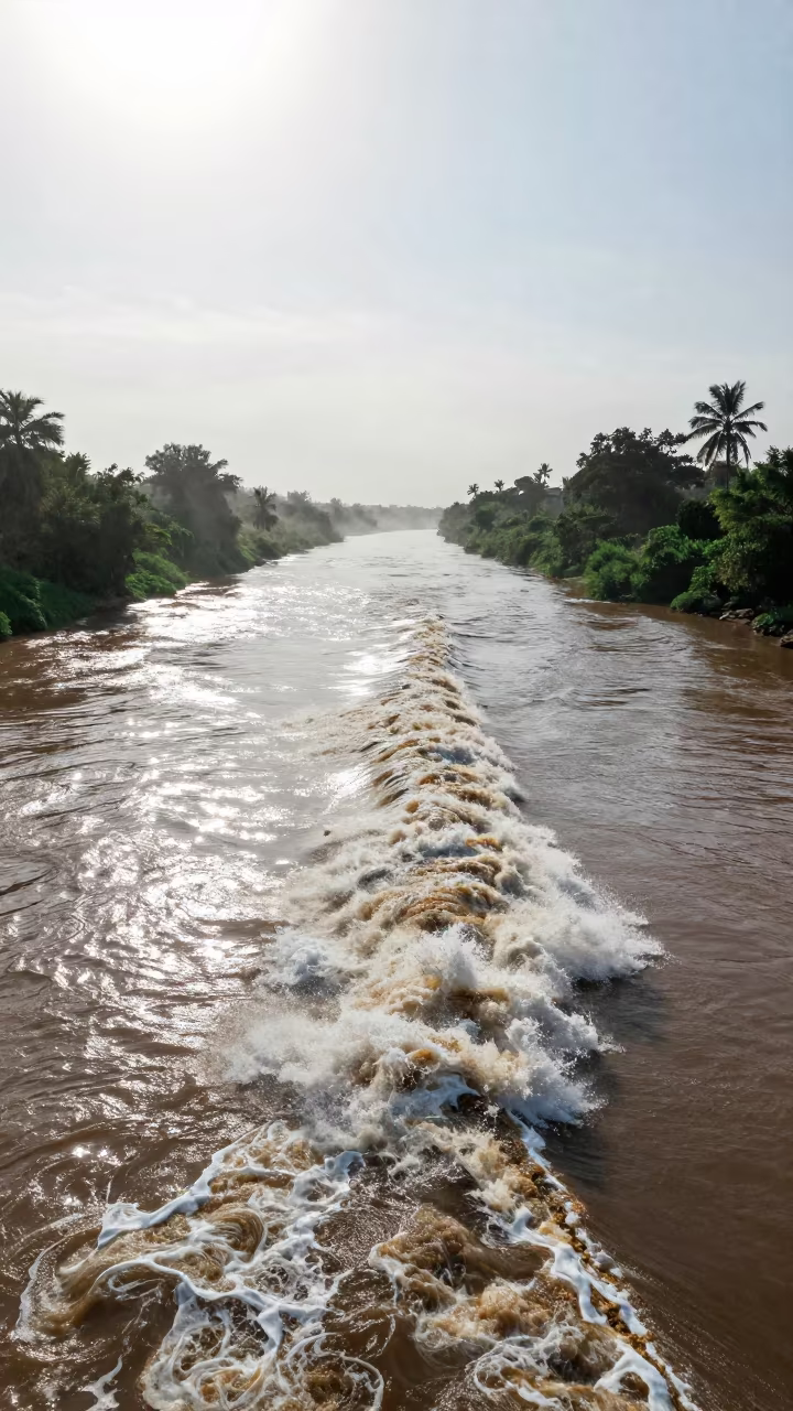
Somali River Tidal Bore Under Noon Sun
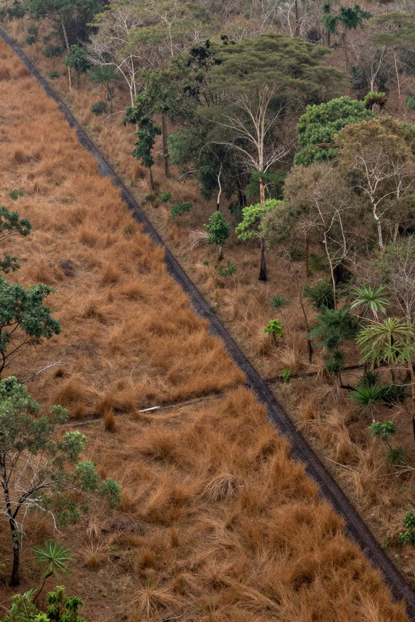
Aerial Fire Break Cut Through Dry Woodland Near Dar es Salaam
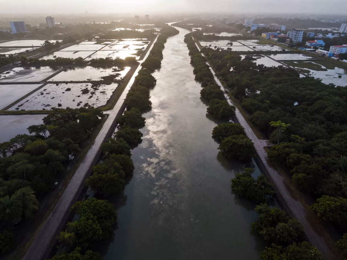
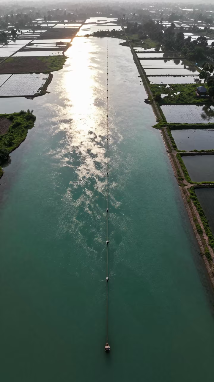
Aerial View of Taiwan Irrigation Canals at Low Tide
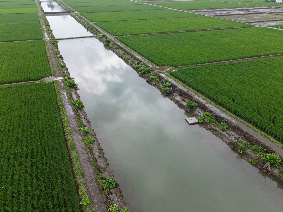
Jade Lagoon Irrigation Geometry Aerial View
Aerial View of Philippines Mangrove Coastline at Sunset
Comments