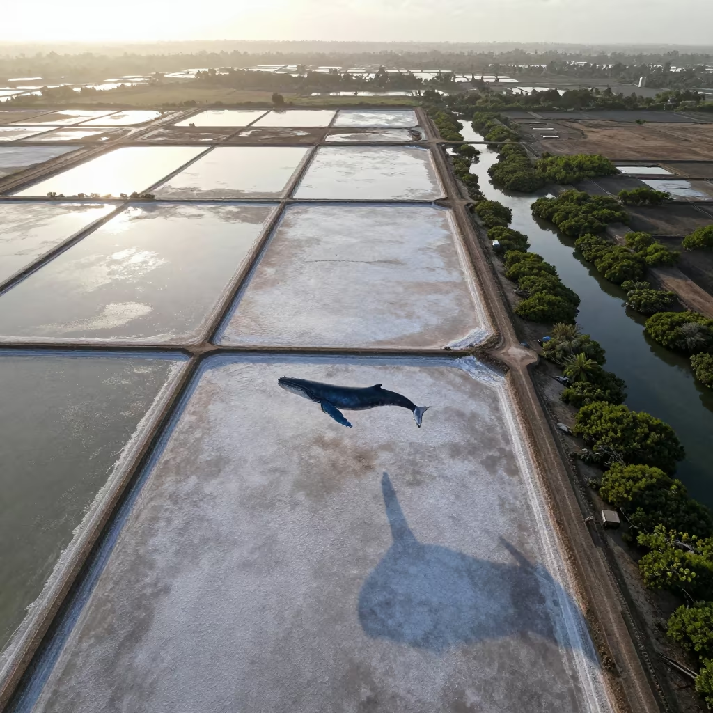
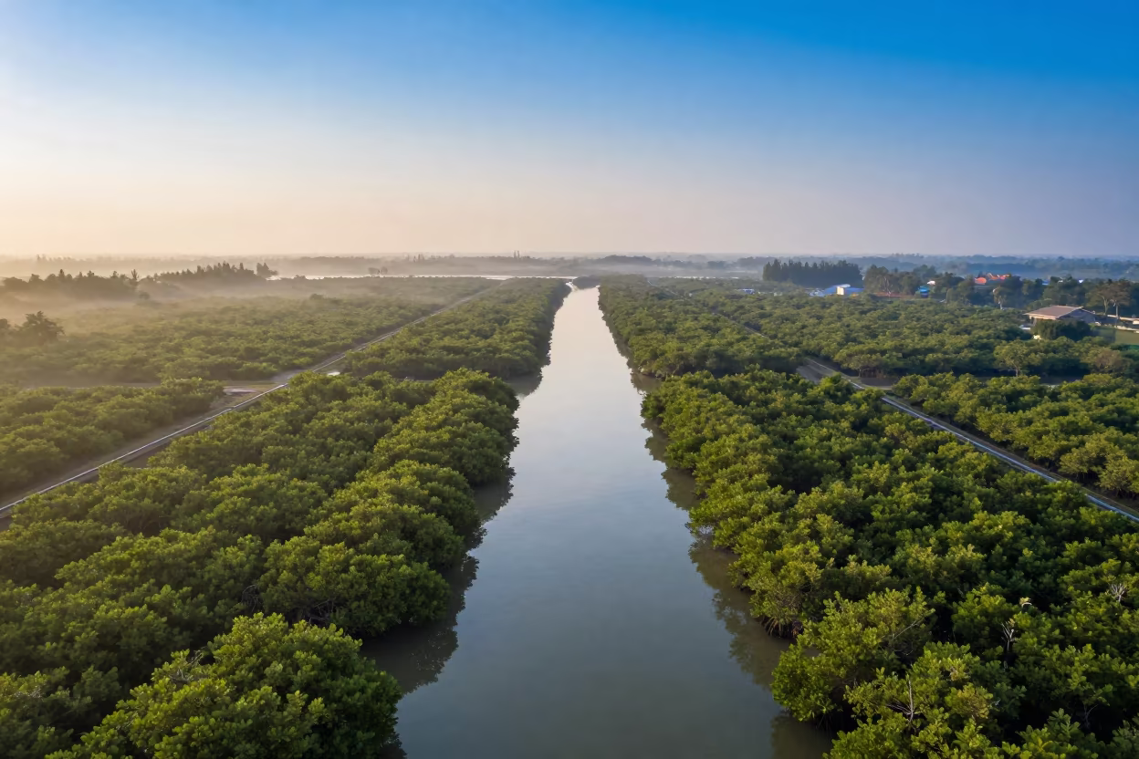
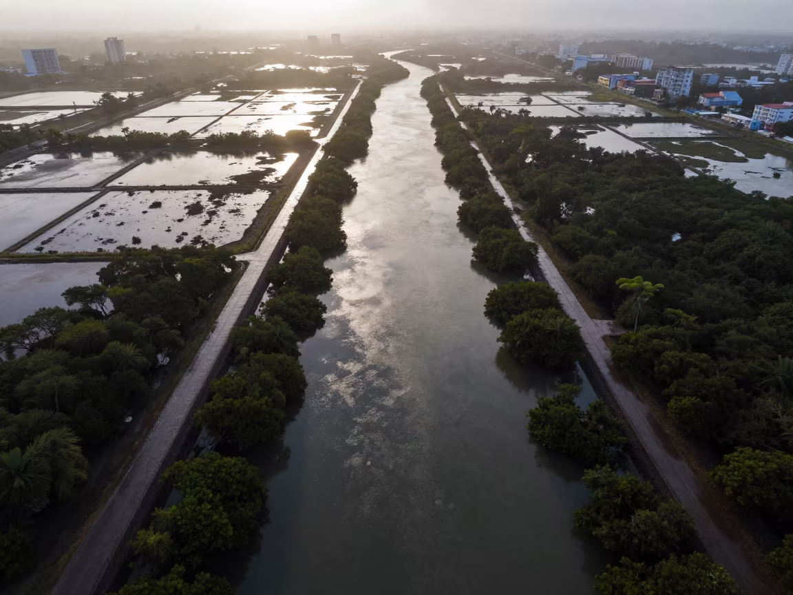
Aerial View of Dar es Salaam Mangroves and Whale Shadow
Pale morning light floods a grid of salt ponds and causeways near Dar es Salaam, revealing the intricate channels of mangrove forests below. The water reflects the soft dawn sky, creating a pattern of blues and greens that mimics a topographic map. A massive blue whale swims through the air directly above the landscape, its smooth skin catching the first rays of sun. The creature casts a distinct, dark shadow that stretches across the wet earth and shallow water, aligning perfectly with the geometric lines of the causeways. Distant haze lingers low on the horizon, softening the far edges of the salt flats while the foreground details remain sharp and cartographic. The shadow of the whale falls across a cluster of red mudflats, at the base of the impossible figure in the physical terrain.
Free to download. CDN hosting requires a link back to this page. Terms
Similar Images
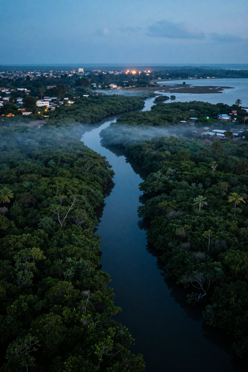
Aerial View of Dar es Salaam Mangrove Channels at Dusk
Aerial Dawn View of Zanzibar Mangrove Coastline
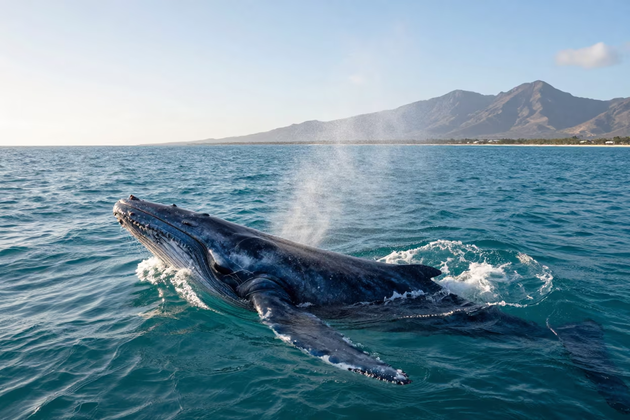
Blue Whale Surfacing Near Zanzibar in Late Afternoon

Whale Shadow Over Qatar Construction Site
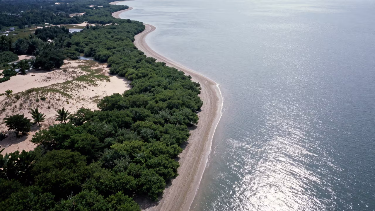
Aerial View of Malaysian Mangrove Coastline and Open Water
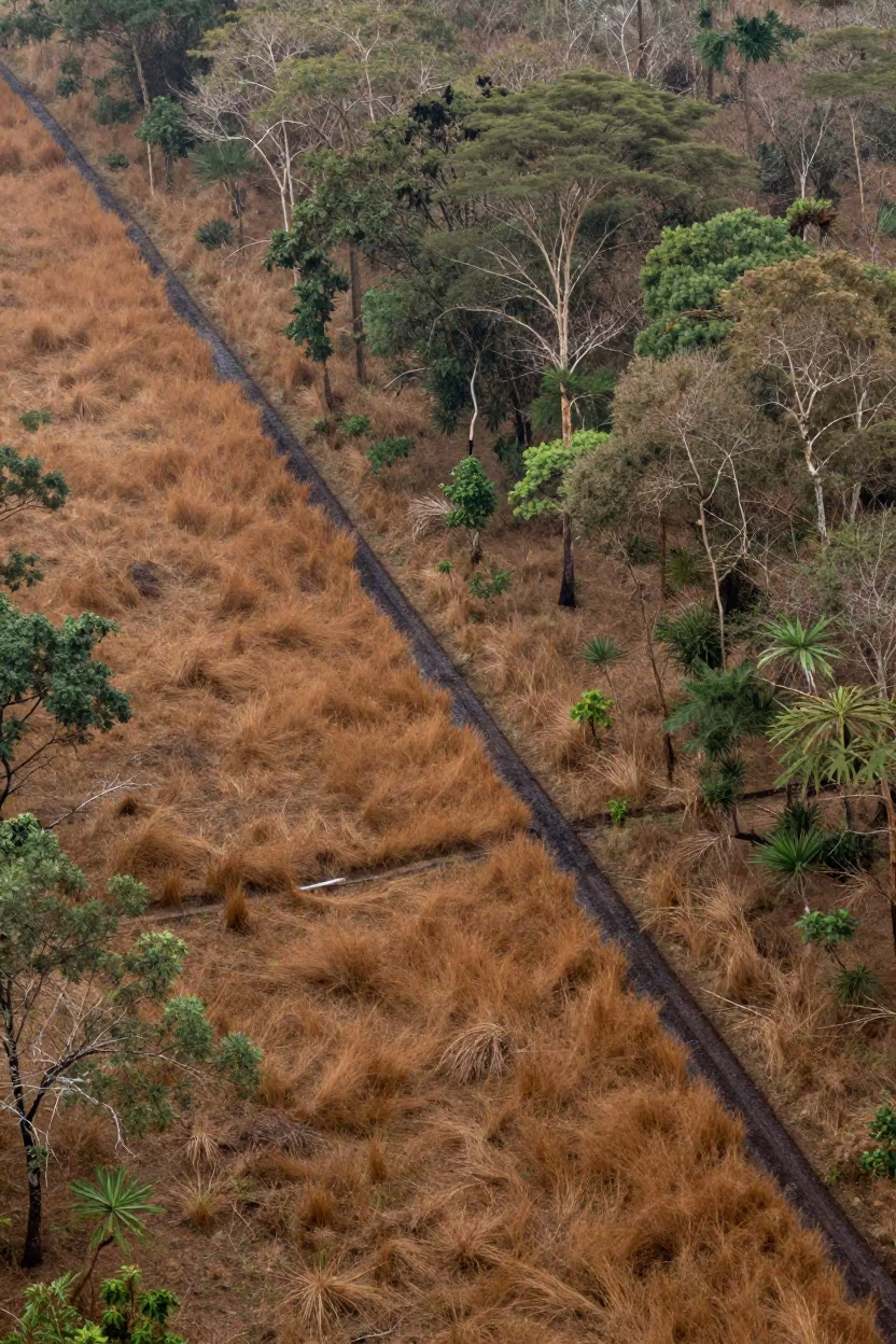
Aerial Fire Break Cut Through Dry Woodland Near Dar es Salaam
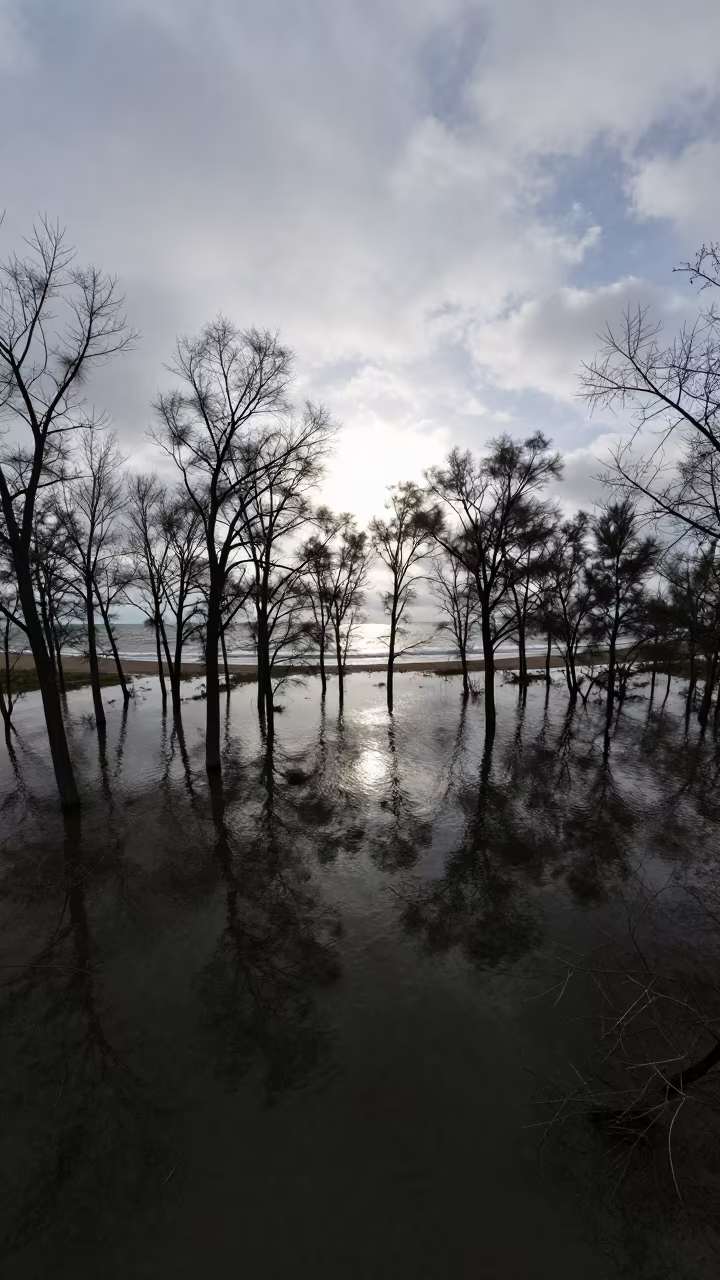
Aerial View Flooded Forest Silhouette Coast
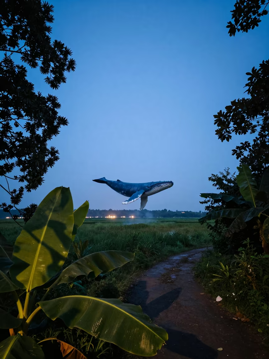
Blue Whale Shadow Over Banana Leaf Path
Dawn Mangrove Channels Aerial View Near Jakarta

Aerial View of Wind Turbines Over Salt Ponds
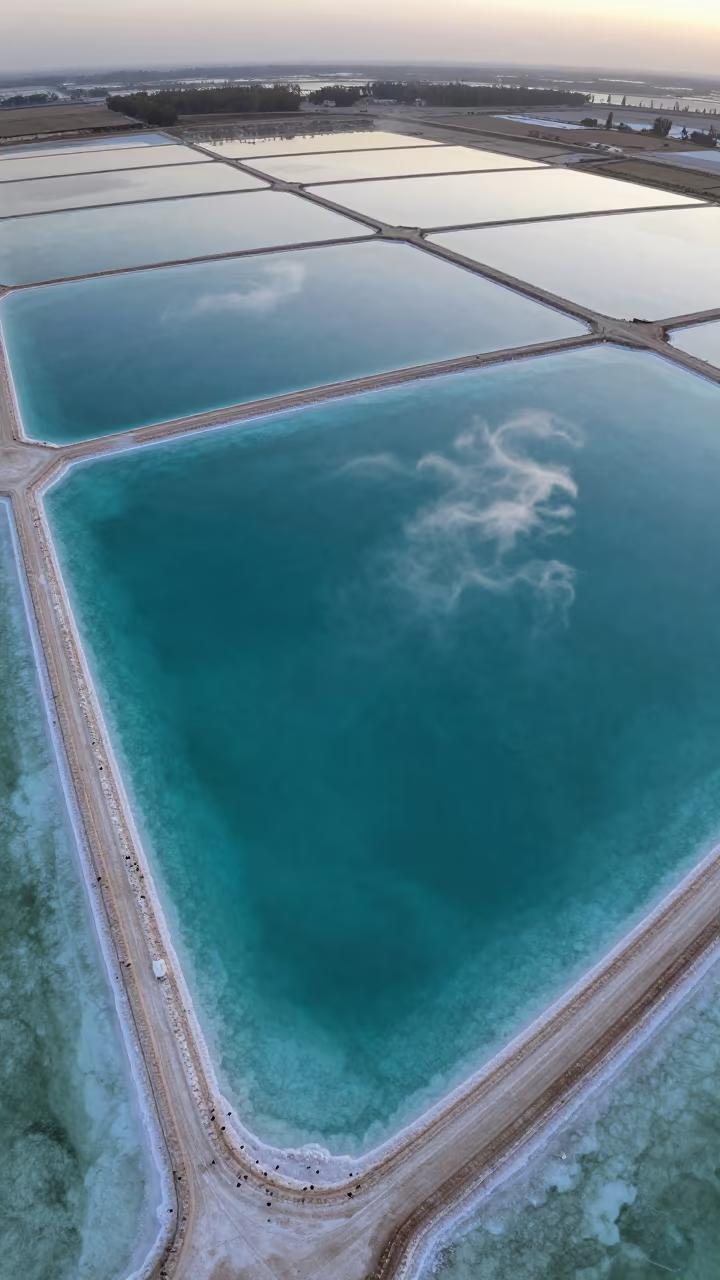
Turquoise Salt Ponds and White Sand Aerial View
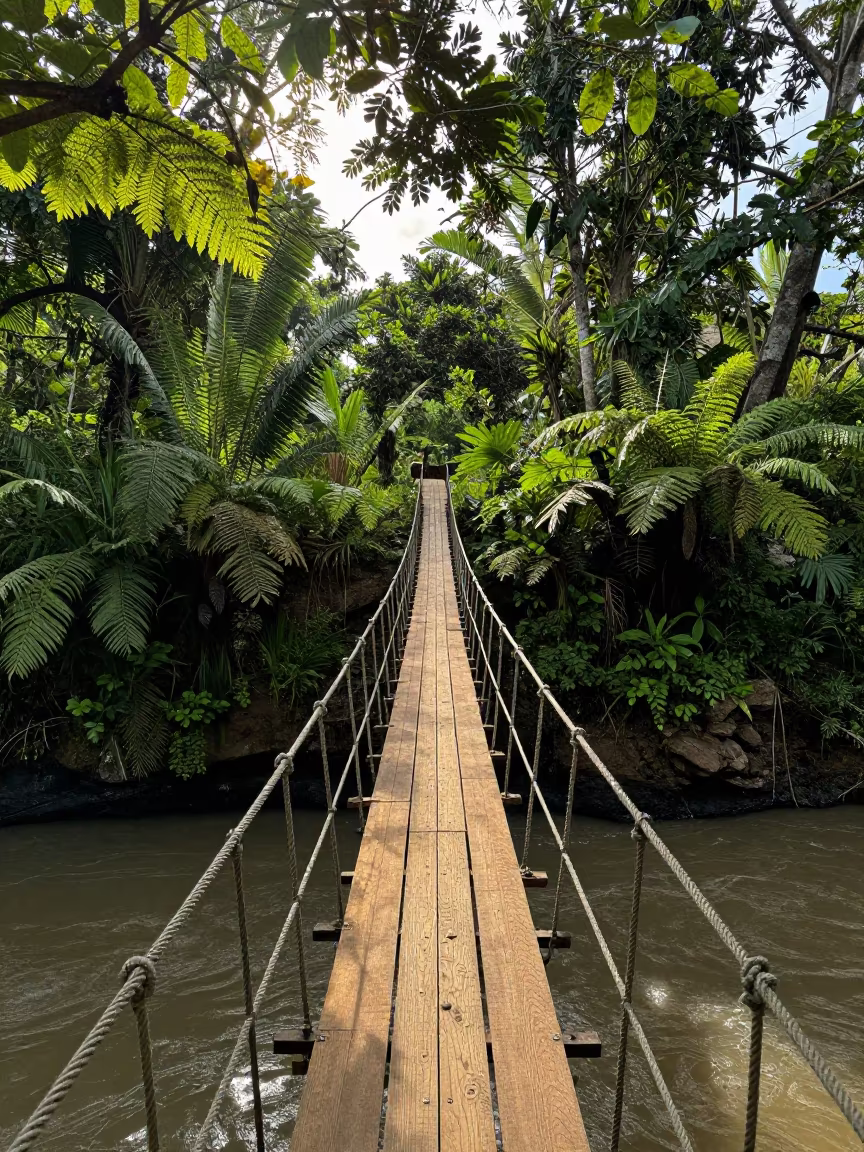
Rope Bridge Swaying Over Jungle River Gorge
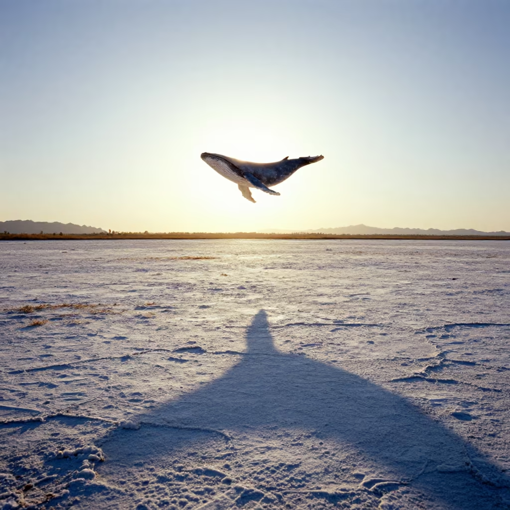
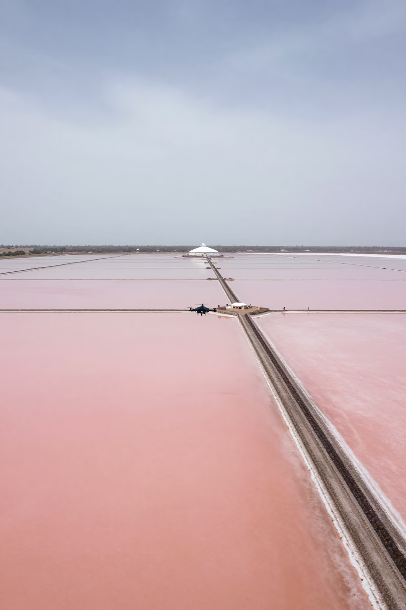
Whale Shadow on Autumn Salt Flat
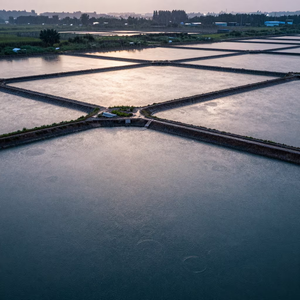
Aerial Salt Ponds Near Sarajevo After Rain
Aerial Dawn River Through Forest Canopy UAE
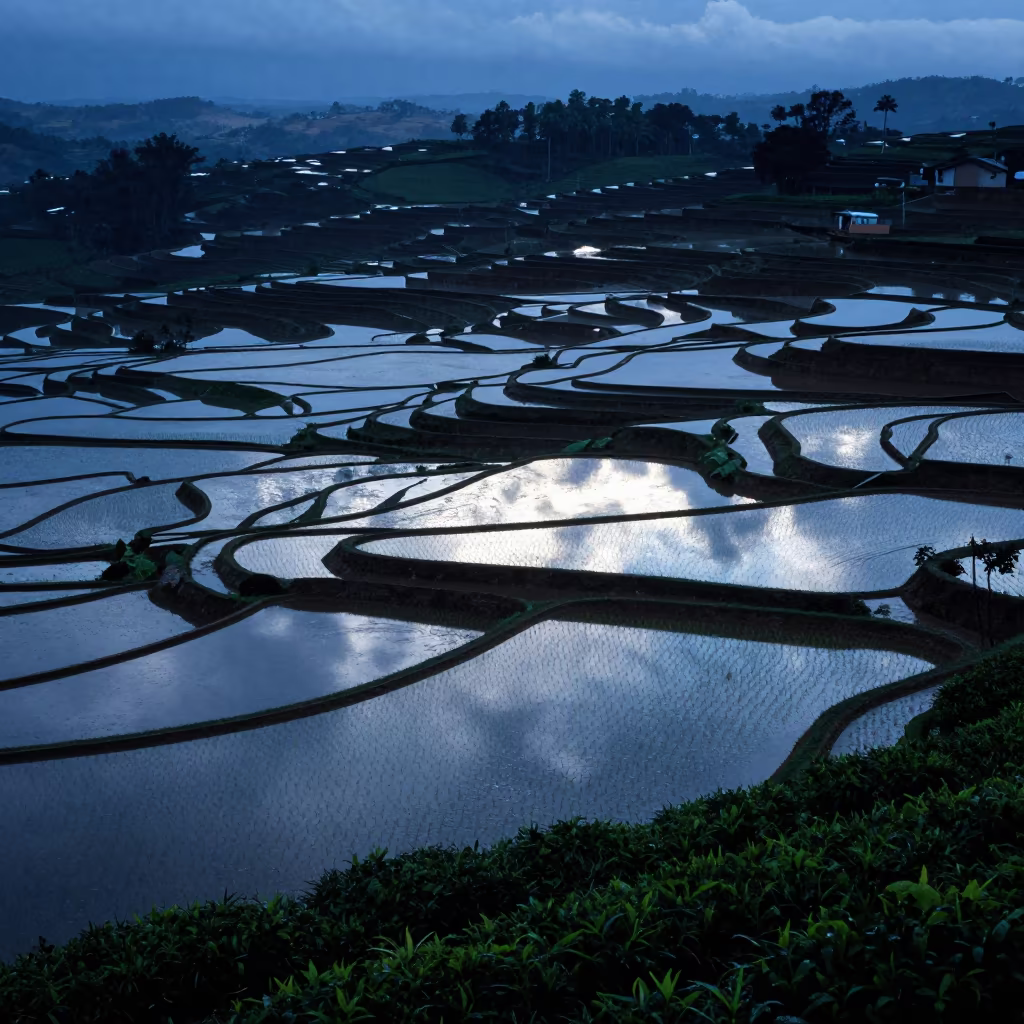
Blue Hour Flooded Rice Terraces Brazil
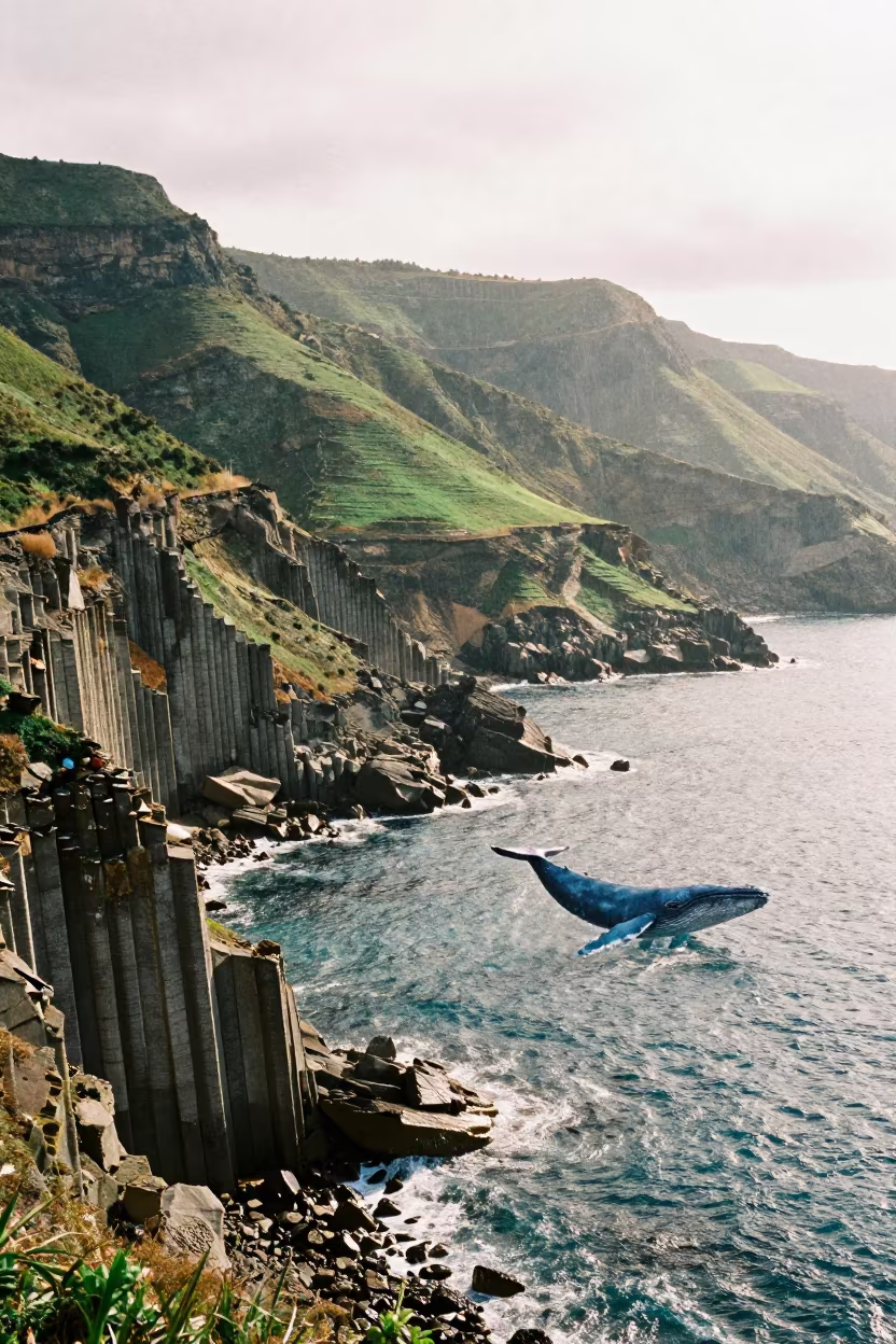
Blue Whale Shadow Over Sicilian Basalt Coast

Blue Whale Swims Above Lettuce Medan
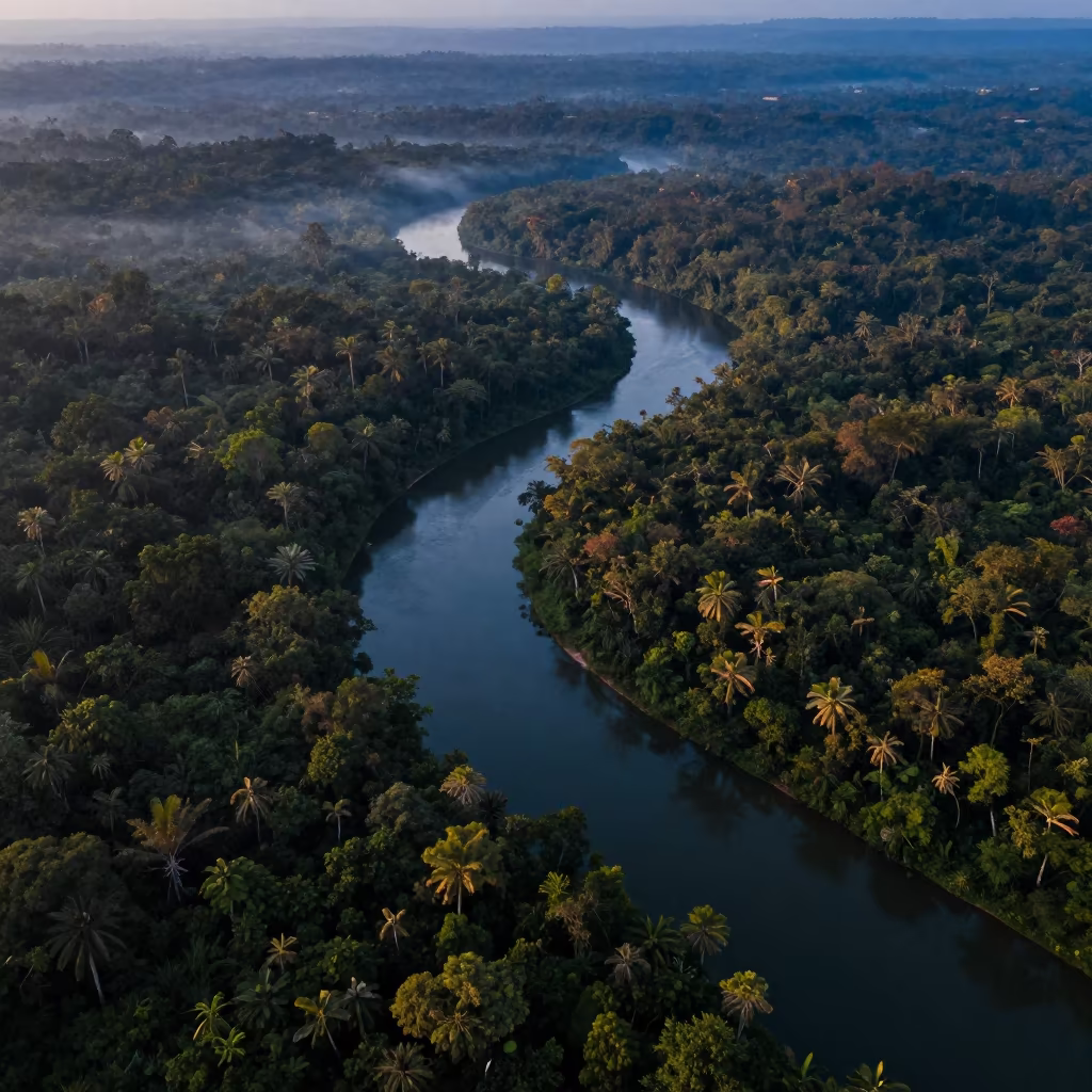
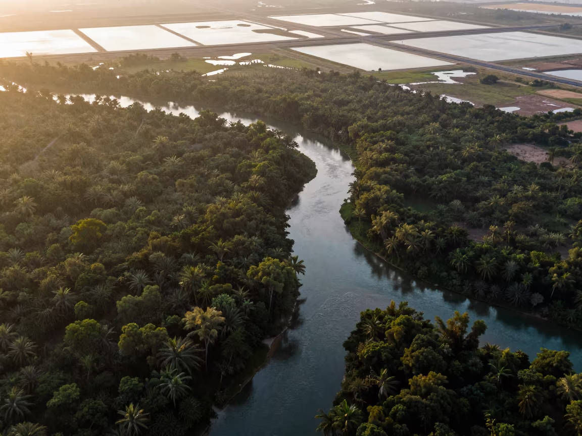
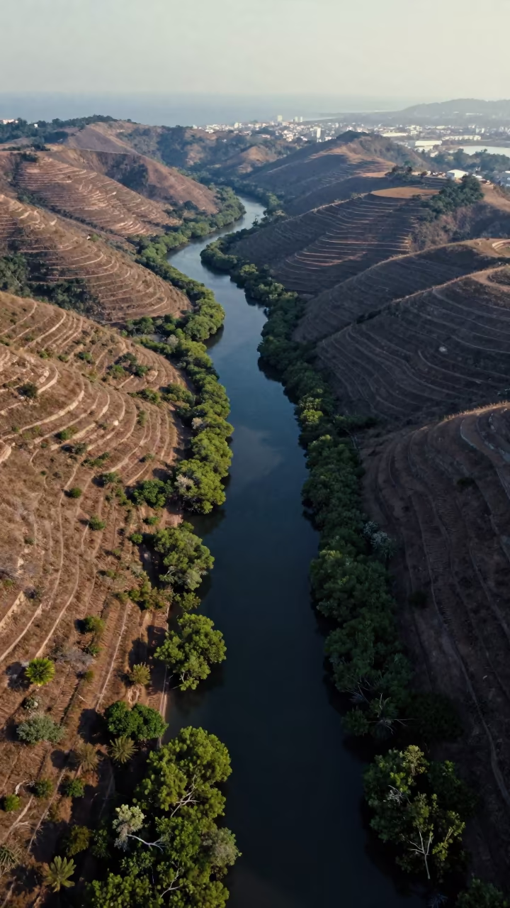
Blue Hour River Aerial View Over Monsoon Jungle

Aerial Salt Ponds at Blue Hour in Rift Valley
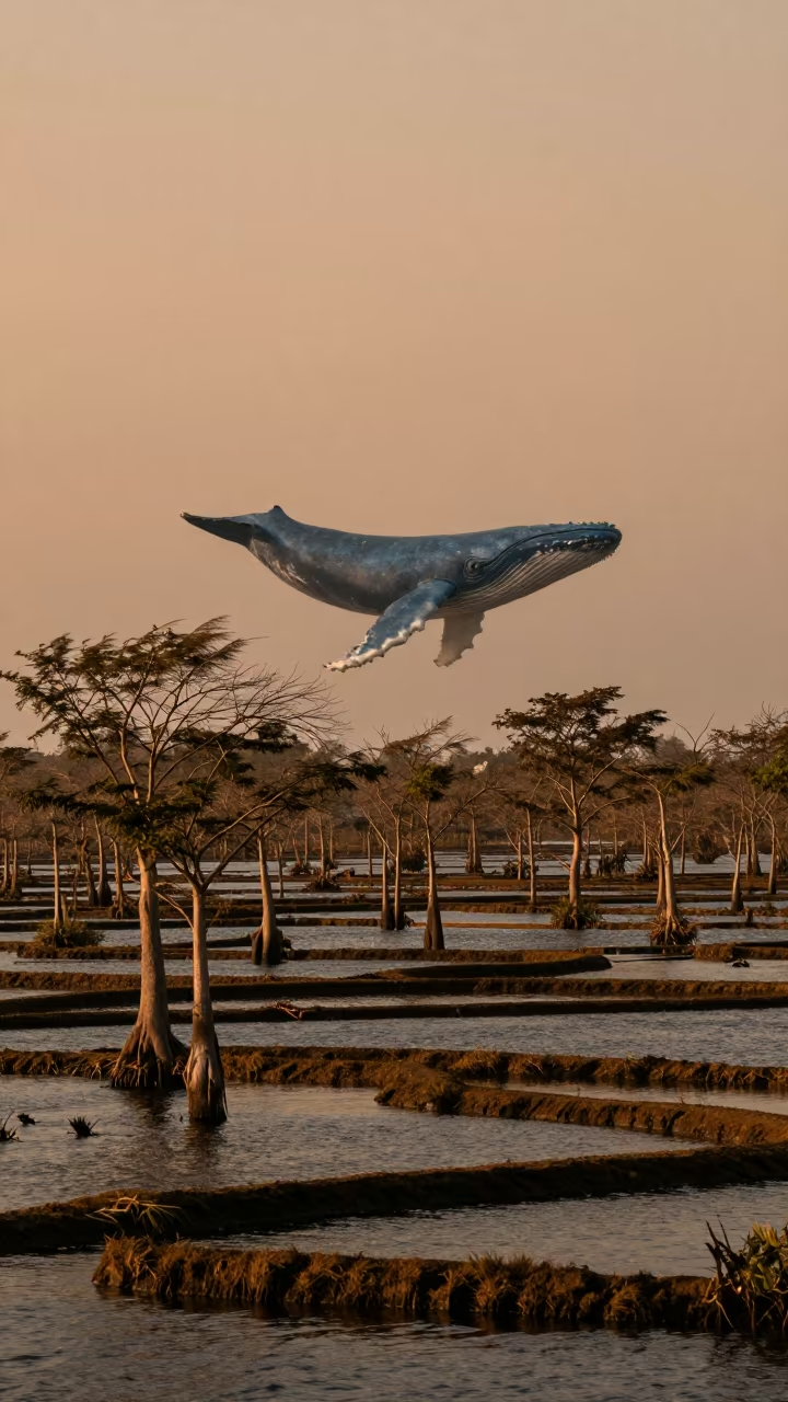
Whale Shadow Over Cypress Swamp
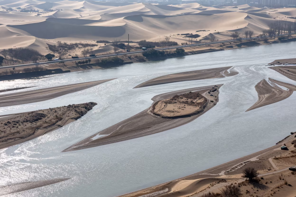
Aerial River Islands Braided Through Silver Floodwater

Cork Oak Forest with Blue Whale Sky Shadow
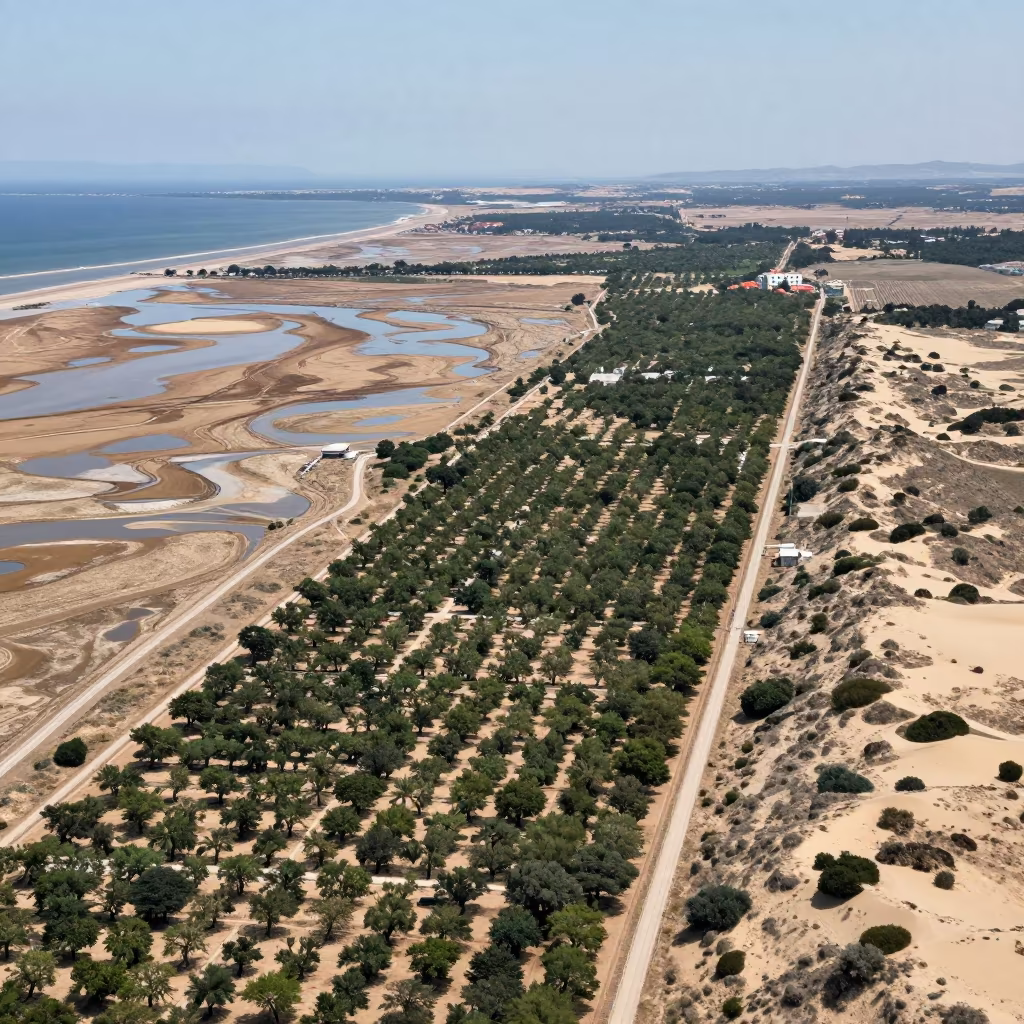
Aerial Dalmatian Orchard Grids Shore Break
Aerial Mangrove Channels After Rain Near Havana
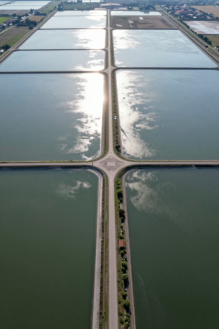
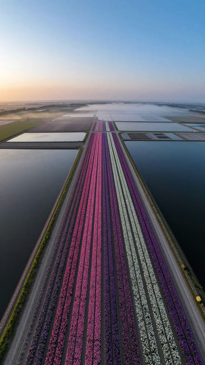
Aerial Road Network Over Salt Ponds Ambato Wet Season
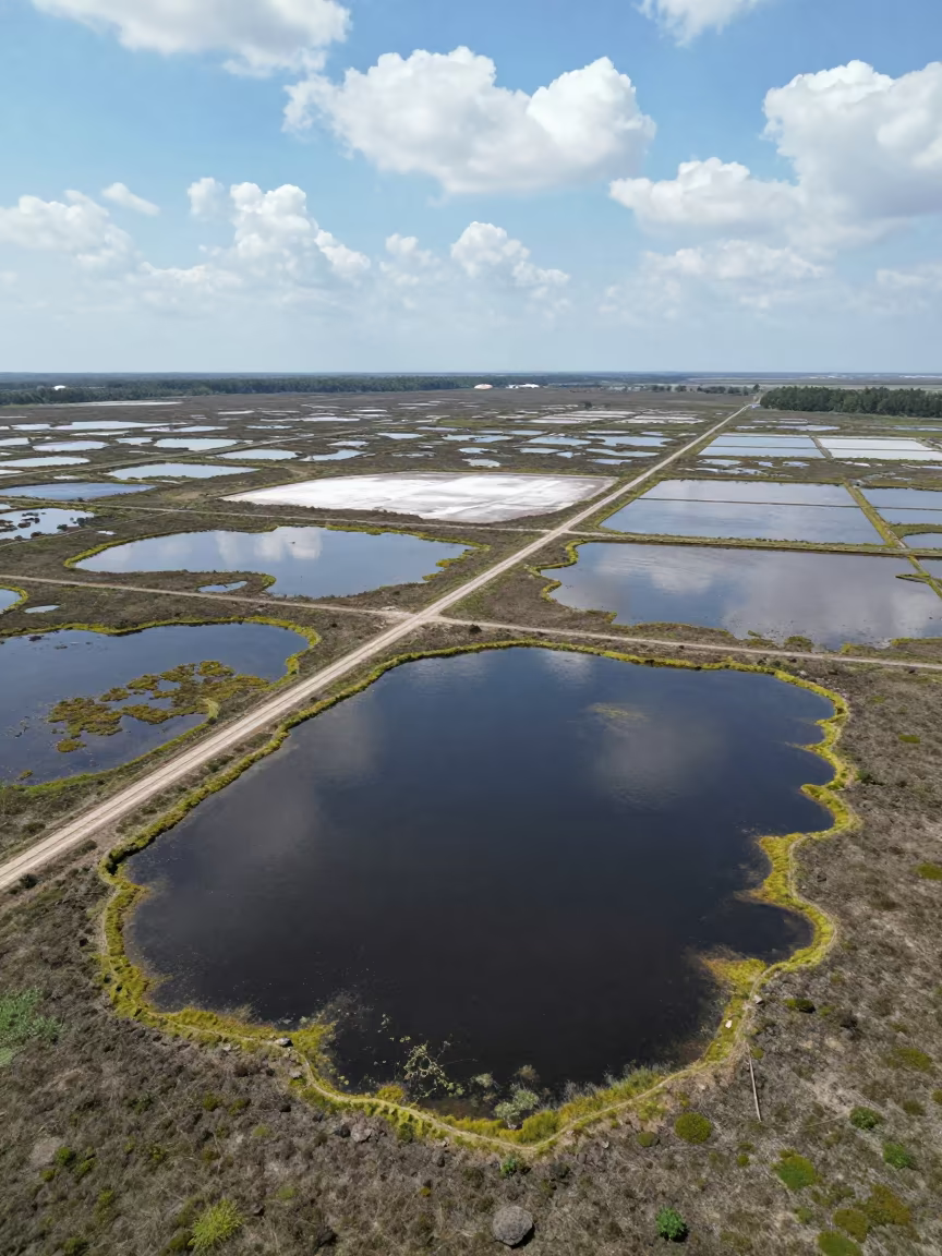
Aerial River Delta Over Salt Ponds
Monsoon Predawn Whale Shadow Over Rajasthan Radar
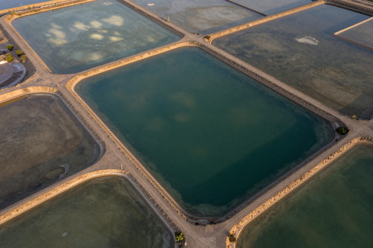
Mali Salt Ponds Aerial Emerald Water Causeways
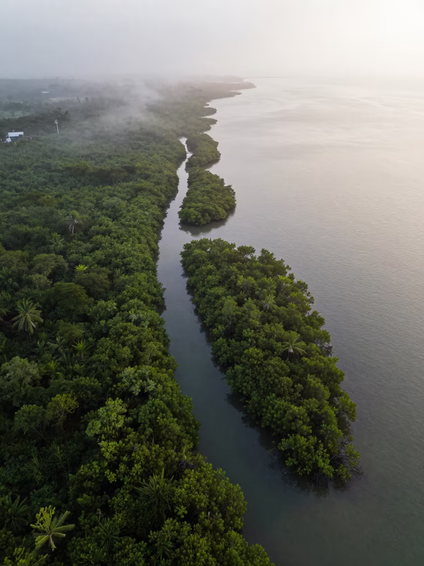
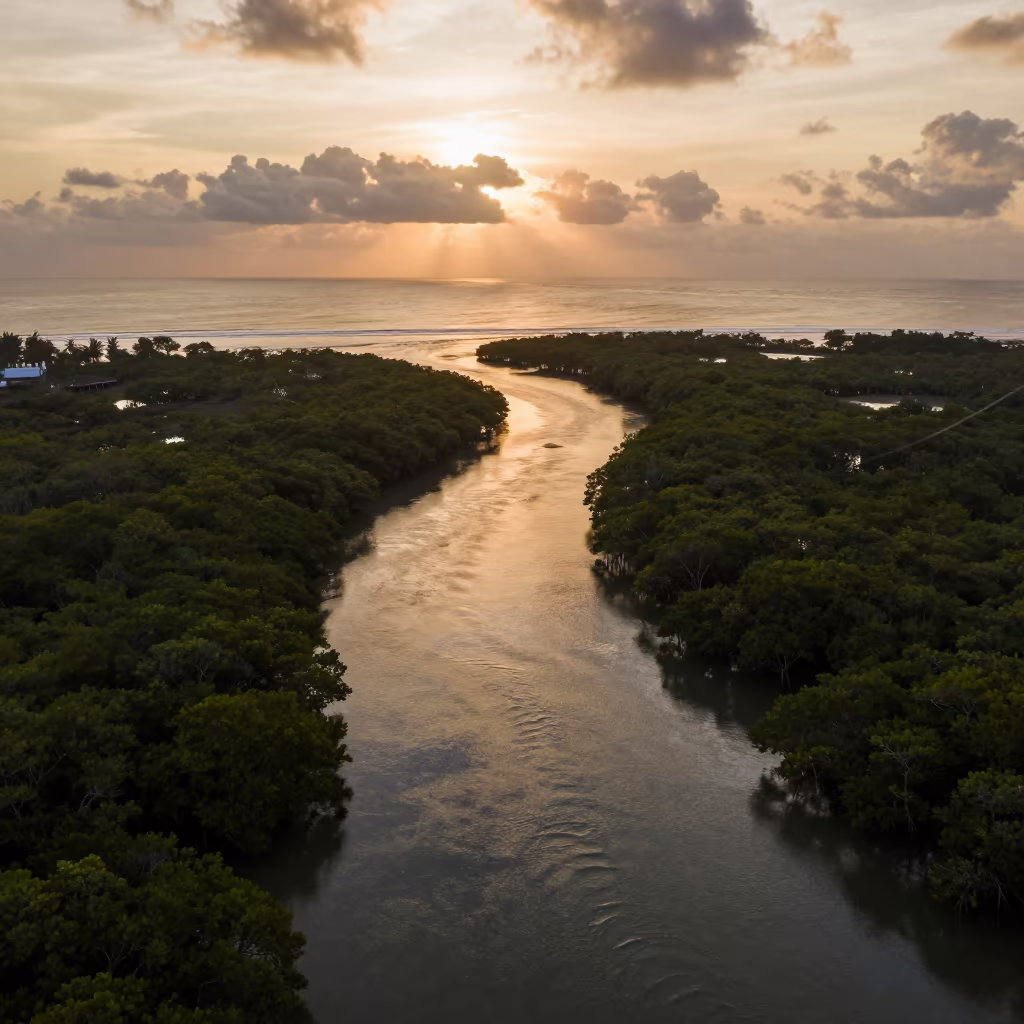
Aerial View of Mangrove Channels Before Sunrise
Golden Hour Drone View of Singapore Mangrove Channels
Aerial Peat Bog and Salt Ponds Tianjin Midsummer
Drone Over Salt Ponds Near Dam Spillway
Indigo Twilight Salt Ponds Jiangsu Aerial View

Blue Rowboat on White Sand Causeway Noon

Pink Dolphin Surfacing Under Blue Whale Shadow
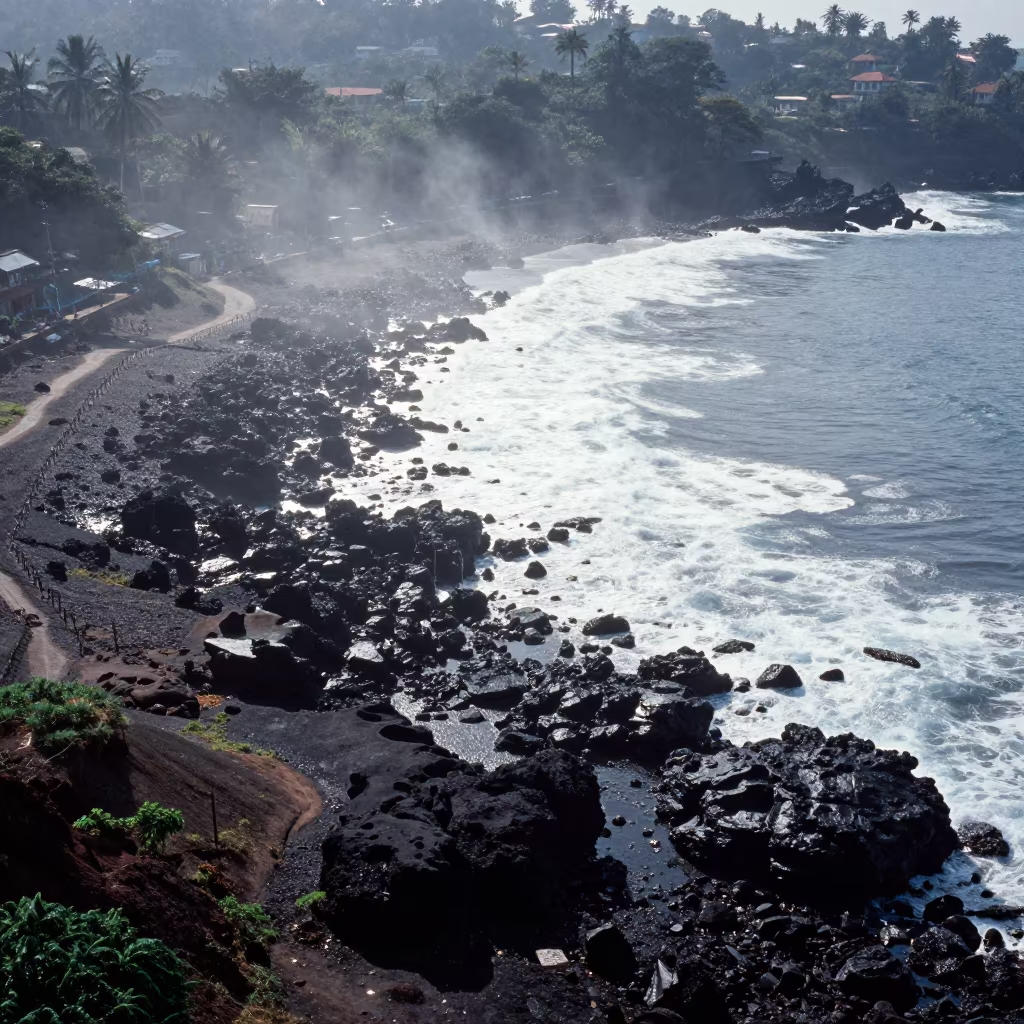
Volcanic Shoreline Aerial View After Rain

Whale Shark Through Volcanic Arch at Dawn
Comments