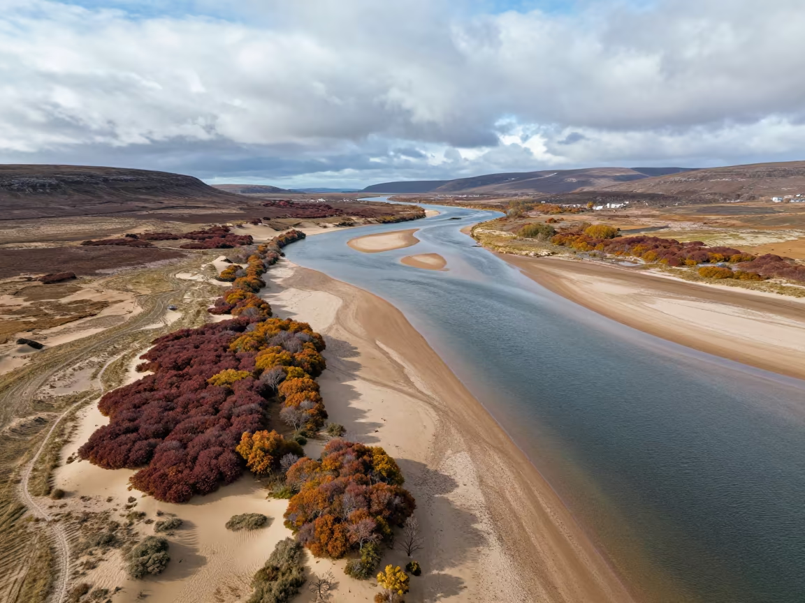
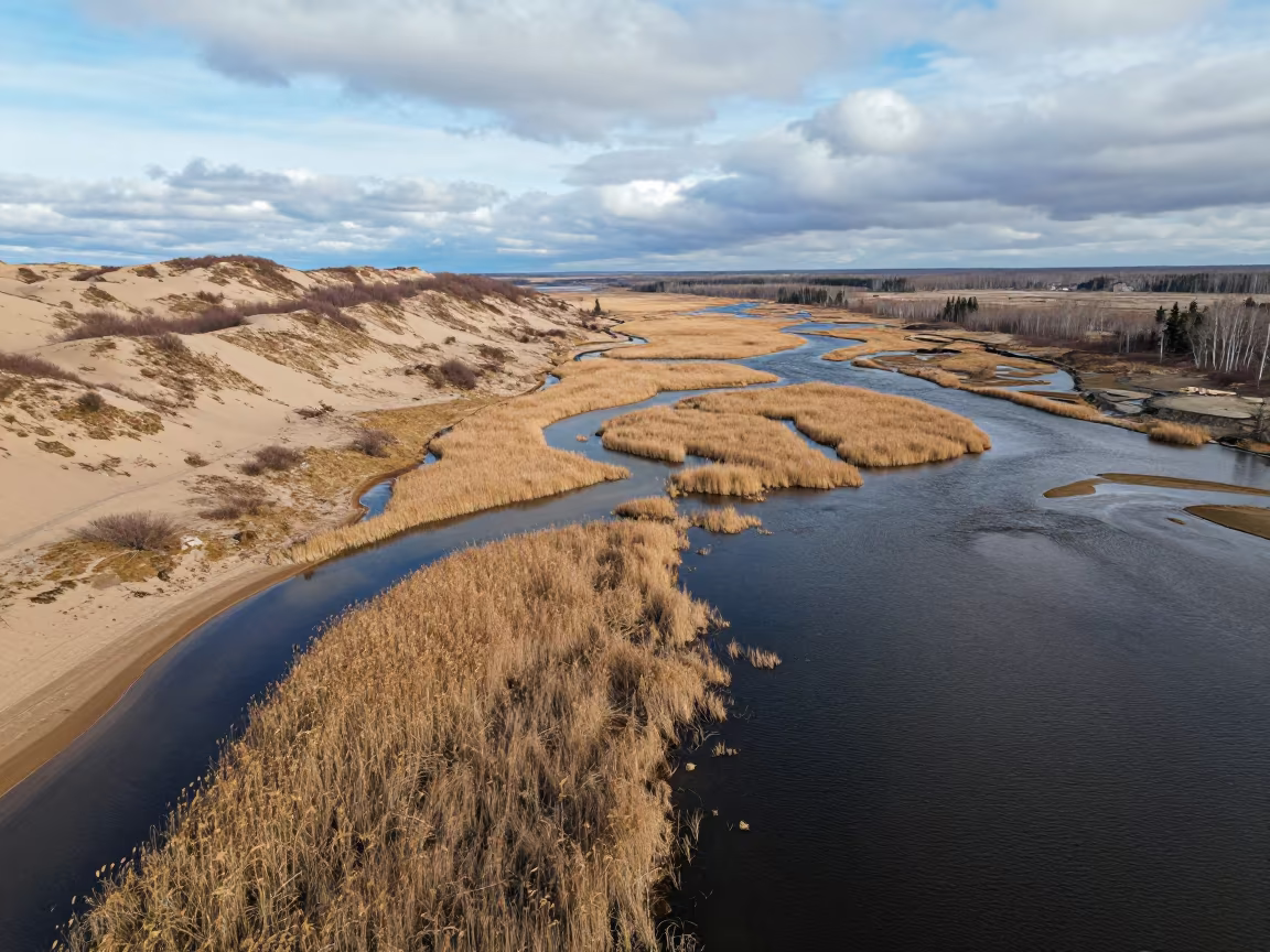
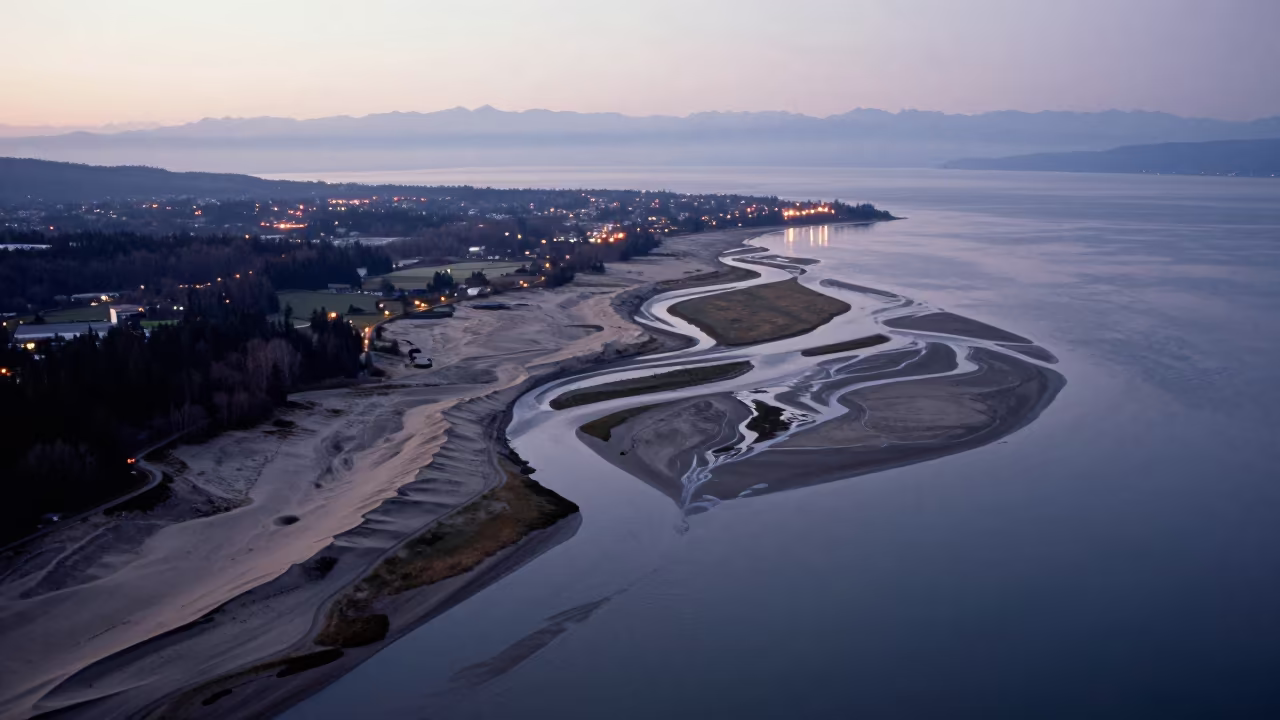
Aerial River View Over Scottish Dunes
Brilliant white sandbars cut sharply through the dark, glacial water of a wide river snaking across the landscape. The river fractures into multiple channels around low, rocky islands topped with patches of russet and ochre bracken. Dry, pale dune fields stretch along the banks, their ridges casting short, hard shadows under the flat noon glare. The water reflects the bright sky with a glassy sheen, while scattered storm clouds still break apart above the wetland terrain. Diagonal lines formed by the water's edge and dune crests create a stark, geometric tension across the frame. A thin strip of dark wet sand marks the waterline where the river meets the dry earth.
Free to download. CDN hosting requires a link back to this page. Terms
Similar Images
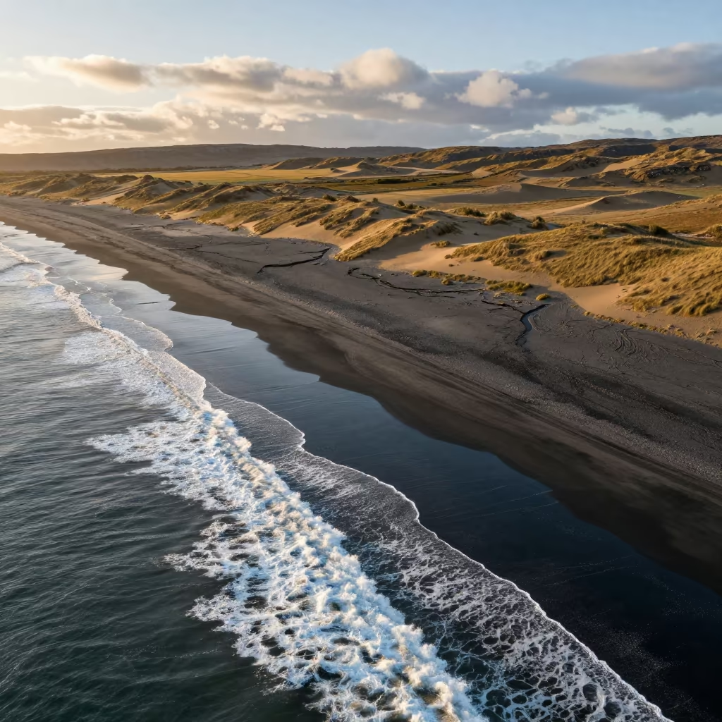
Aerial Surf Lines on Black Sand Scottish Coast

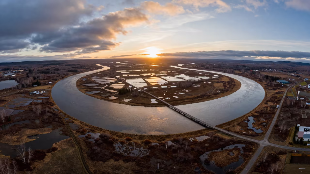
Winter Dawn Creek Over Salt Ponds Scottish Isles
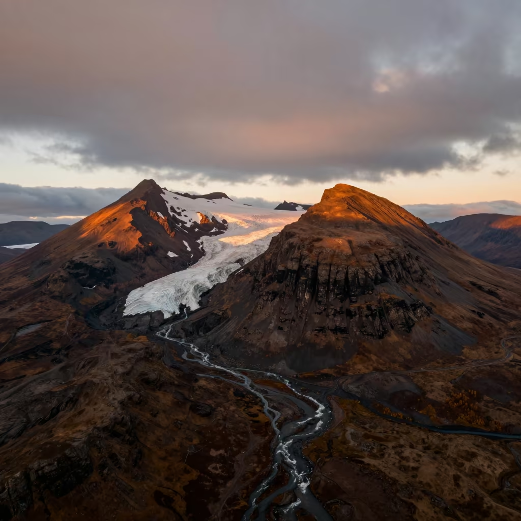
Scottish Stratovolcano Glaciers Sunset Aerial View
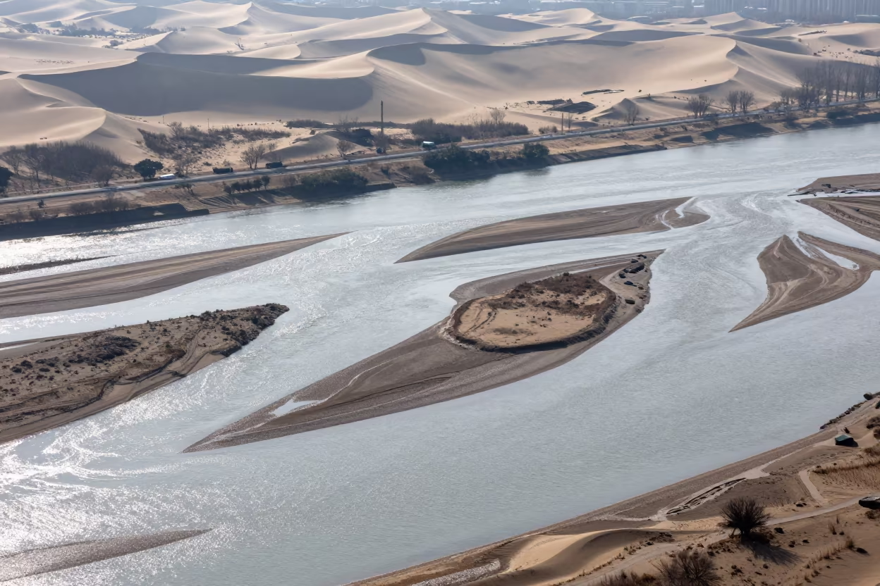
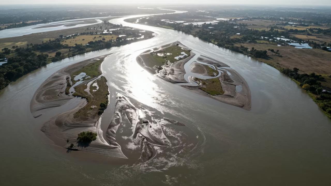
Aerial River Islands Braided Through Silver Floodwater
Swiss Tidal Island Aerial View Blue Hour
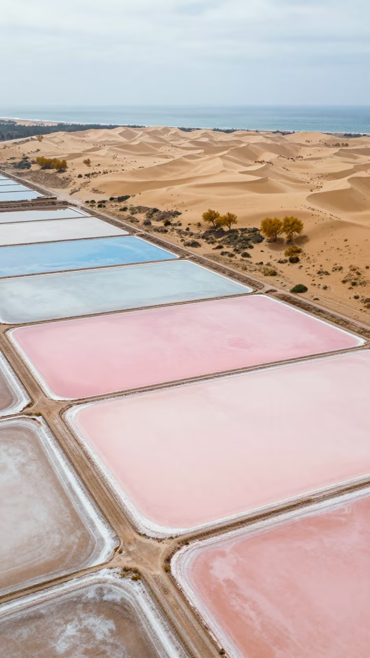
Aerial Salt Pans Pastel Sea Haze Spain
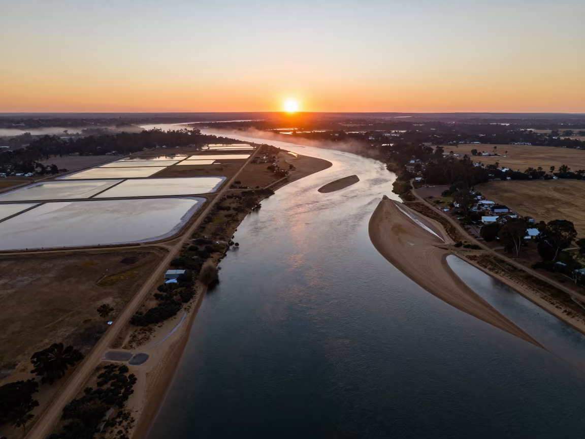
Aerial Sunset Over Salt Ponds and River Islands
Aerial Wetland View Kamchatka Winter
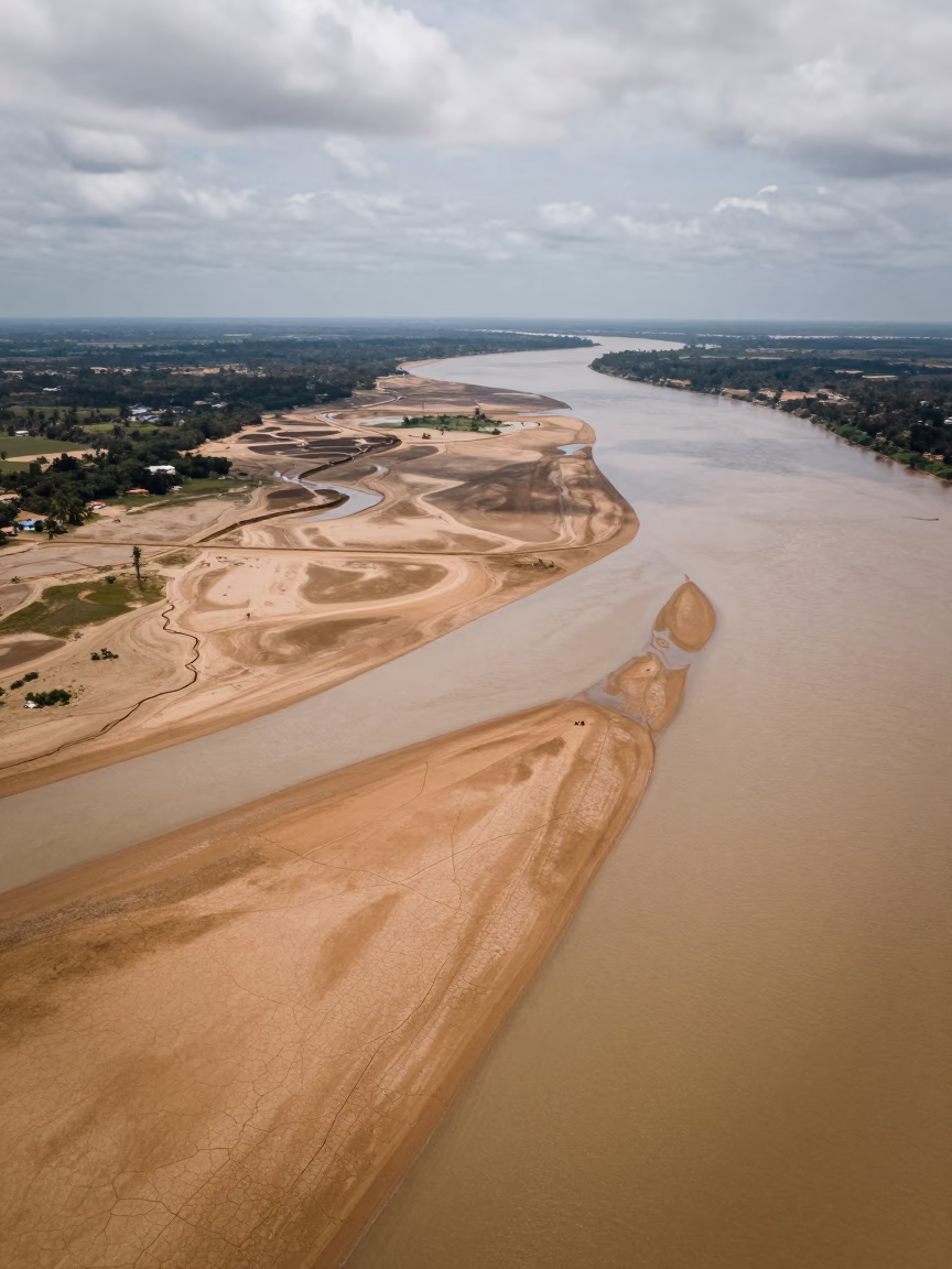
Aerial River Delta Braided Channels Cabimas
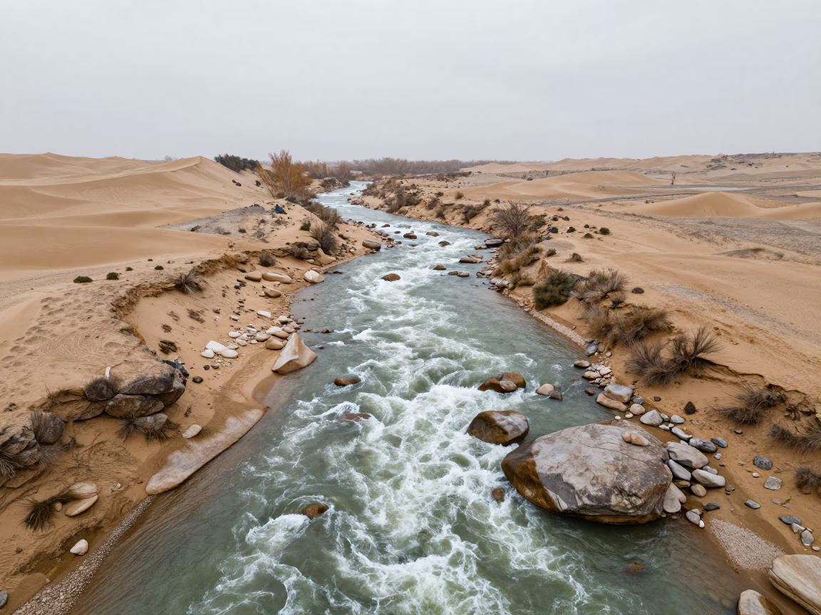
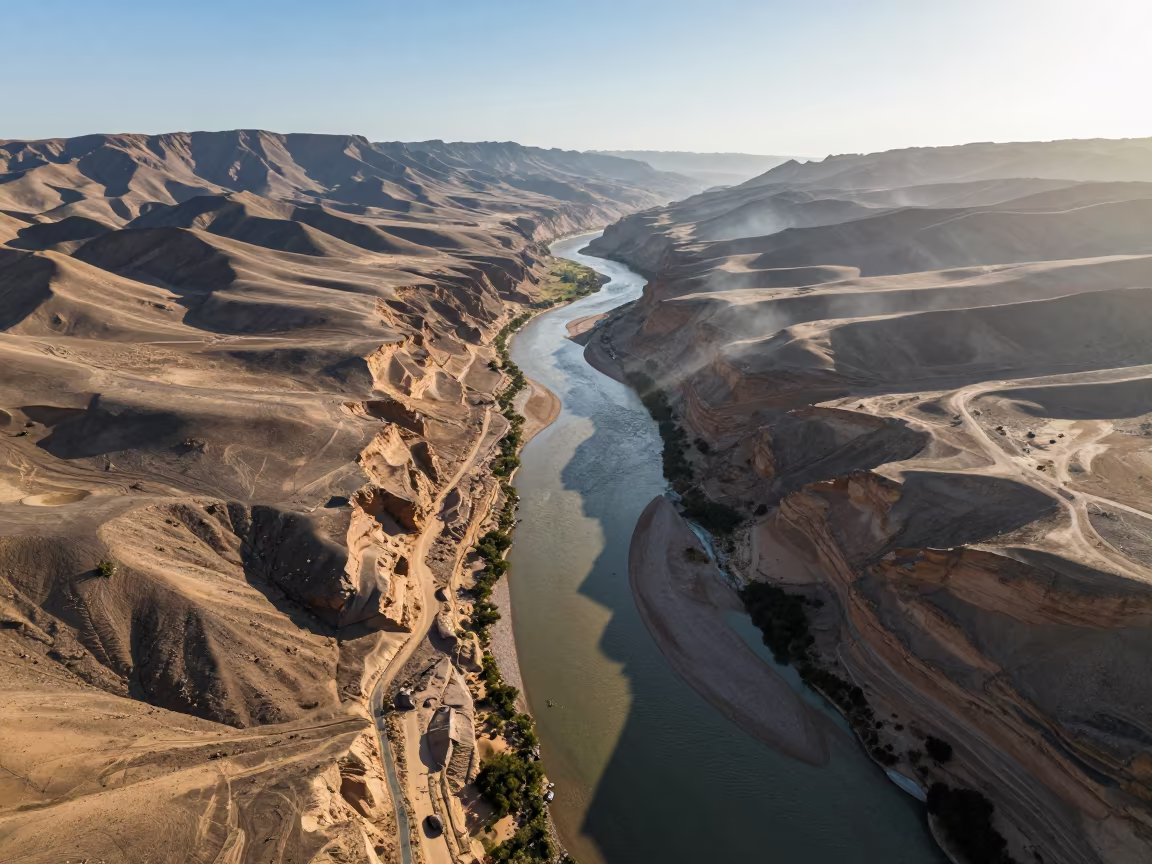
Aerial River Rapids Foam Through Dunes Jizzakh
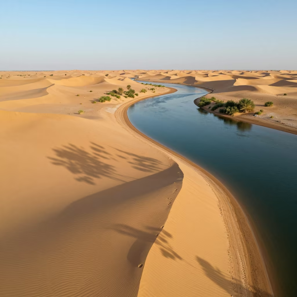
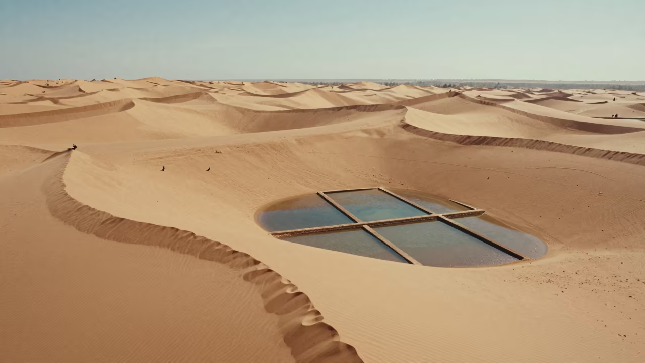
Aerial Sandbar Connecting Sahara Islands
Aerial View of Kamchatka River Delta at Sunset
Winter River Delta Aerial View West Virginia
Norwegian River Delta Aerial View Midnight Sun
Winter Tidal Island Causeway Aerial View UK
Aerial View of Braided River Delta Channels
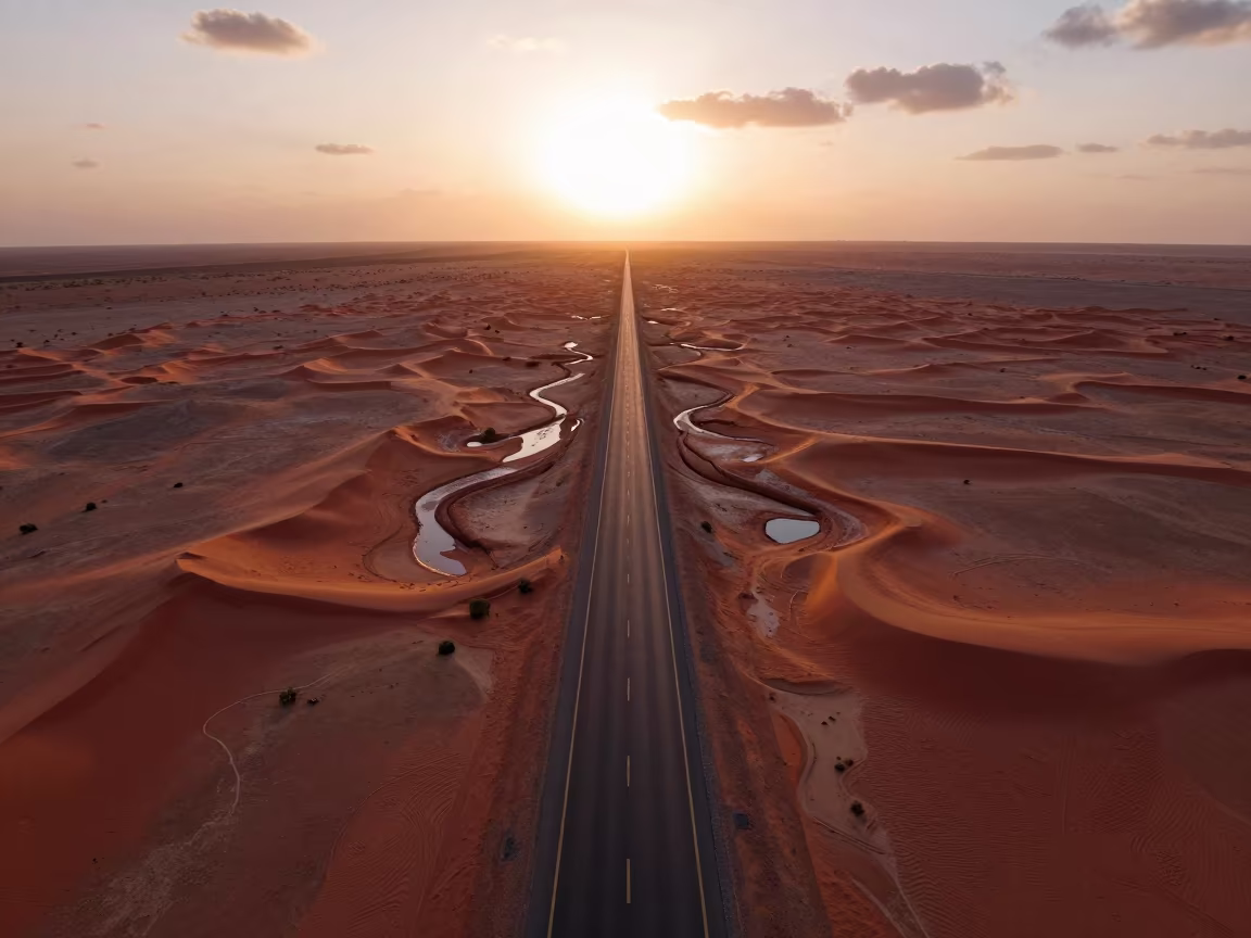
Aerial Desert Highway Vanishing Into Red Dunes
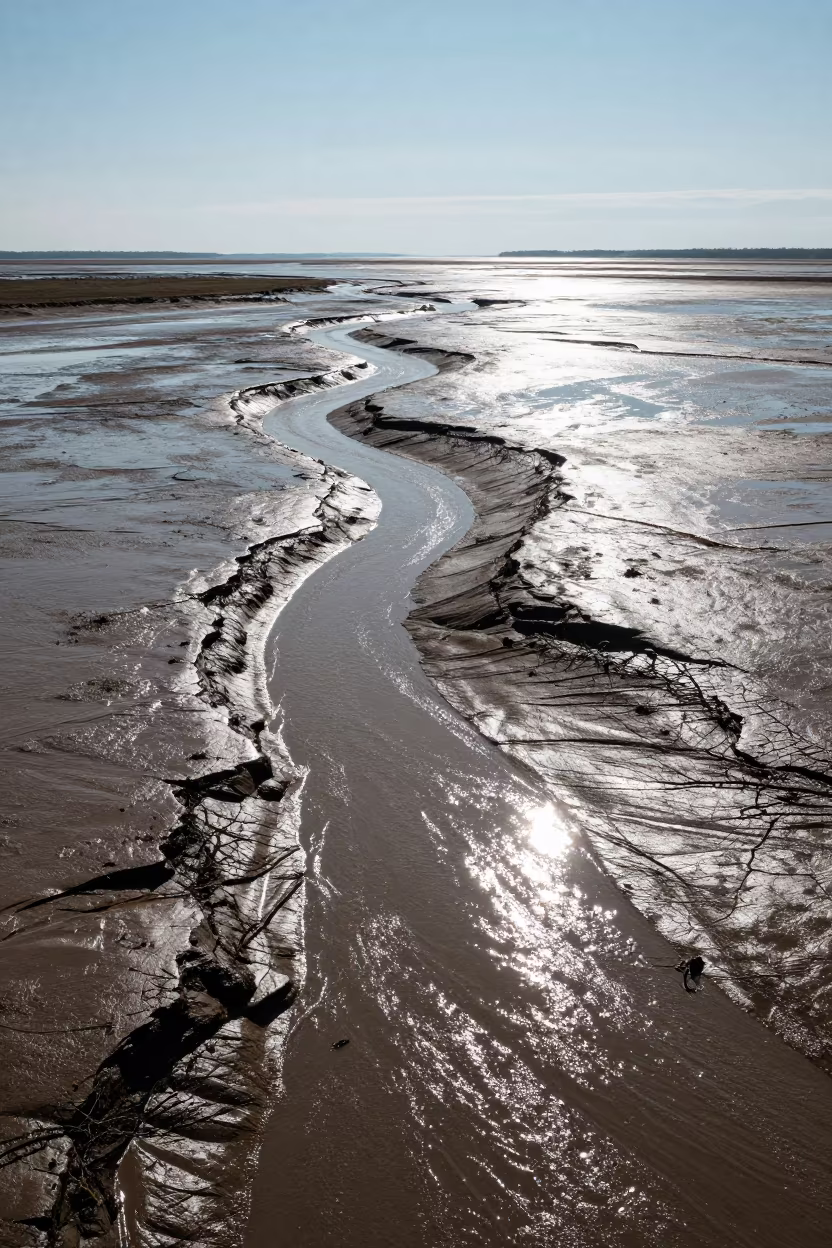
Aerial Tidal Creeks Austria Winter Mud Veins Noon
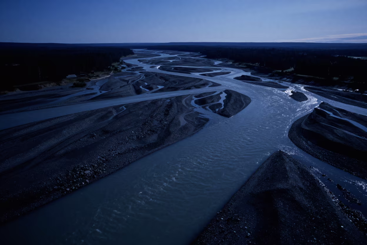
Braided Glacial Rivers Midnight Aerial View
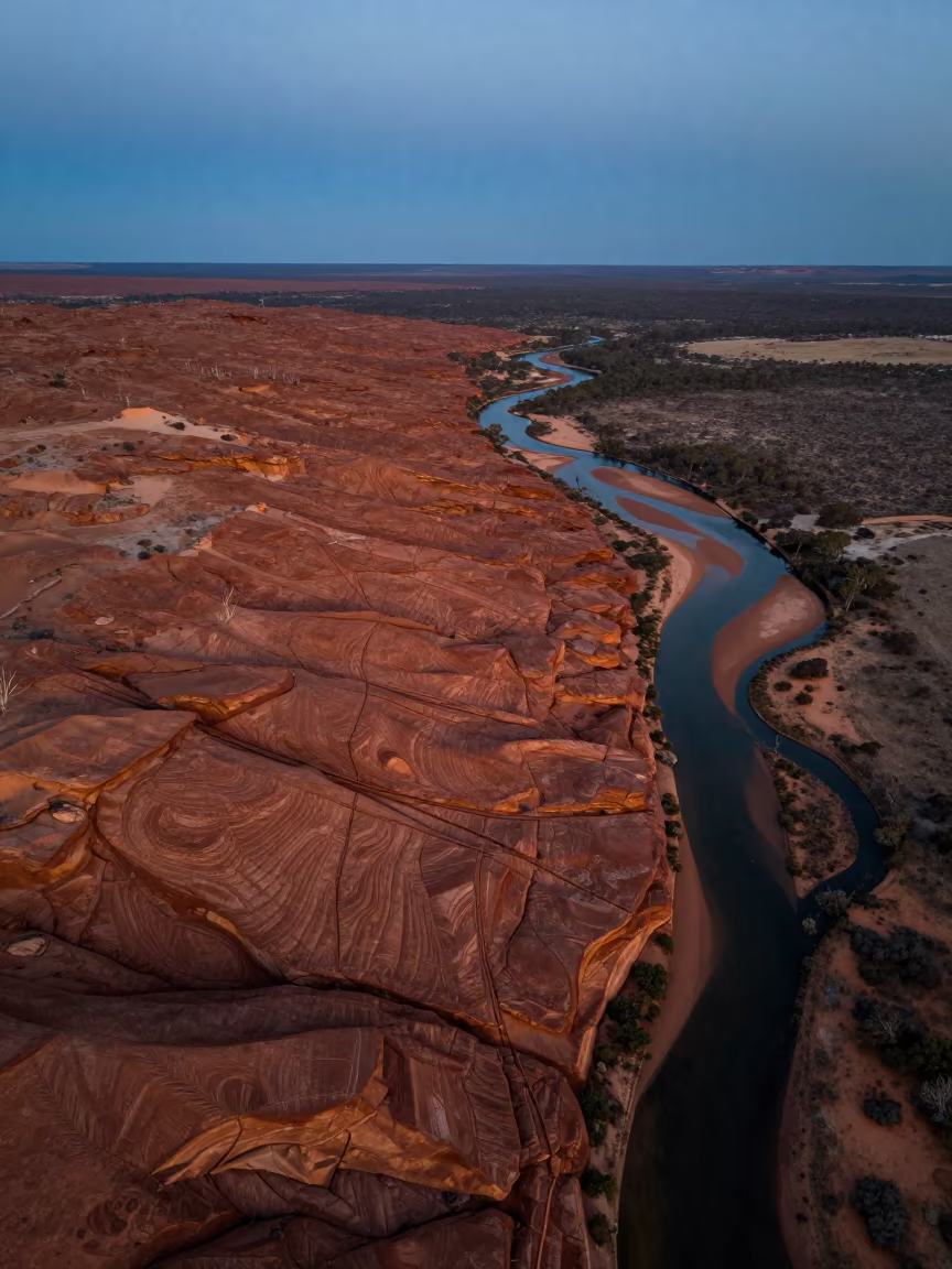
Aerial View of Petrified Dunes at Blue Hour
Aerial Braided Delta Meeting Sea at Twilight
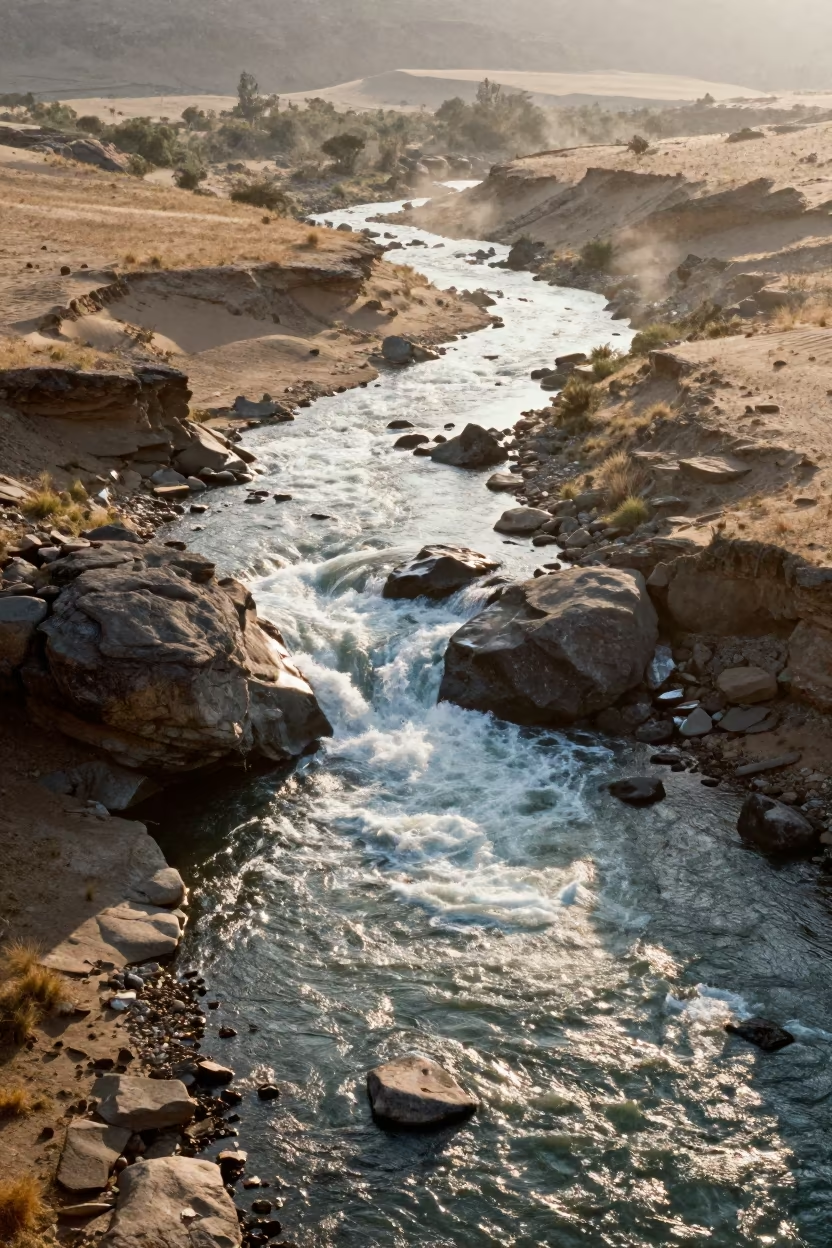
Aerial view of white rapids over Lesotho boulders

Braided Glacial River Aerial View Poland Dawn
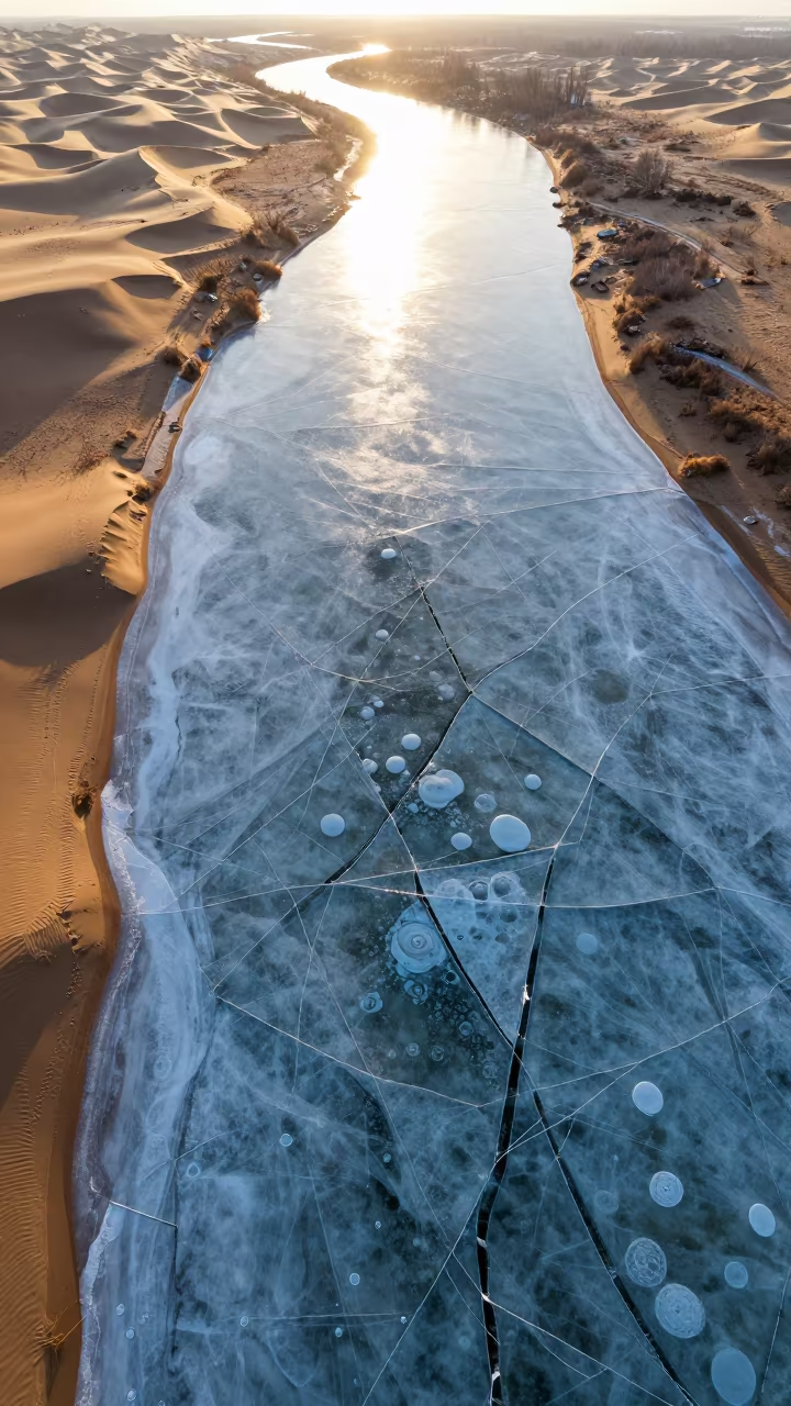
Frozen River Cracks and Bubbles Aerial View
Aerial Braided Floodwaters Near Ahvaz at Dawn
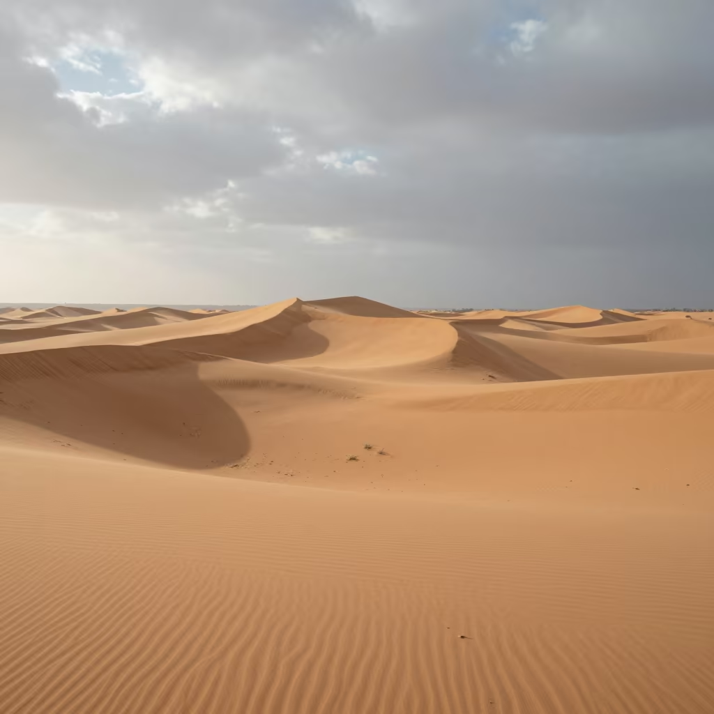
Aerial Morocco Sand Dunes Noon Shadows
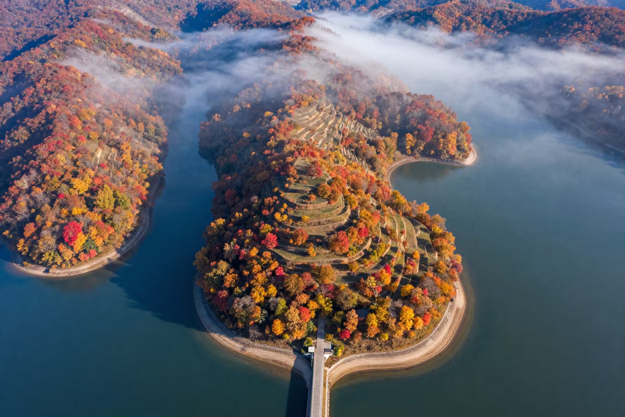
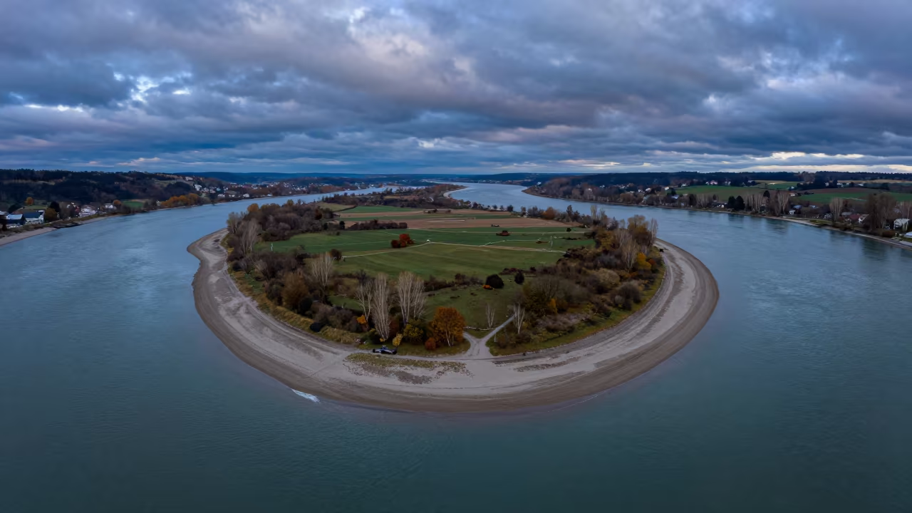
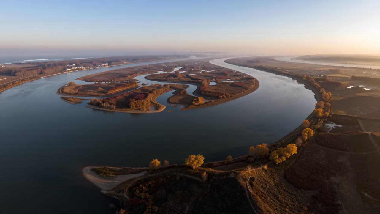
Aerial View of Tidal Island and Sand Causeway in Autumn
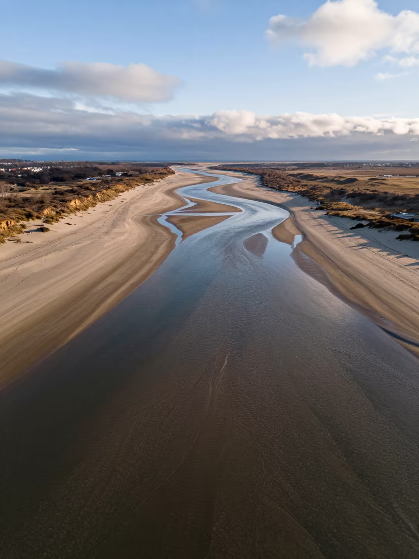
Aerial Winter Beach River Channels
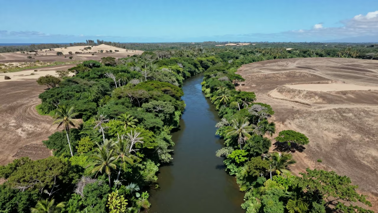
Aerial View of Jungle River Vanishing Under Canopy
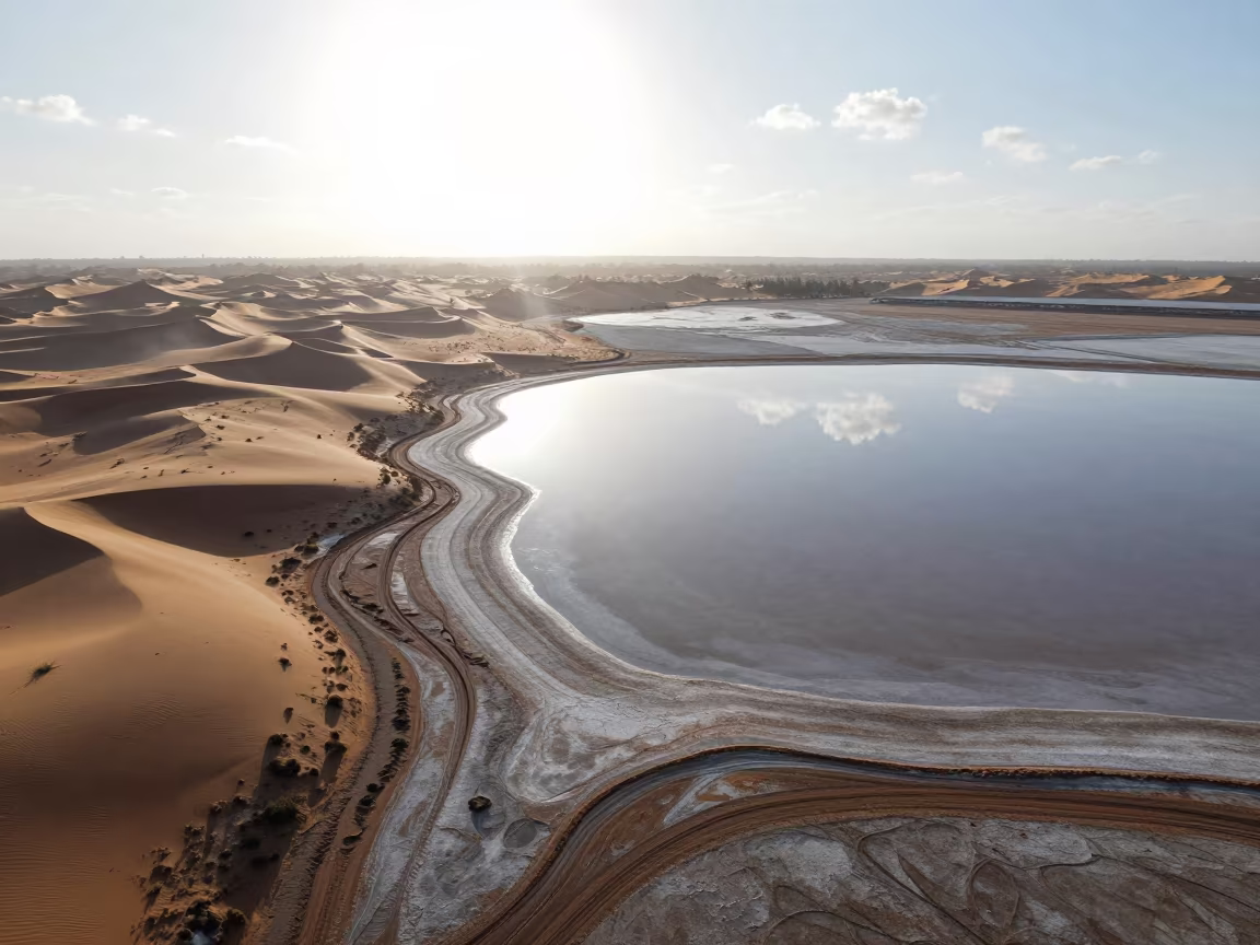
Salt Flat Sky Reflection Above Comoros Dunes

Aerial Wave Patterns Over Desert Dunes Near Mary
Aerial Dunes Near Jeddah with Sharp Shadows
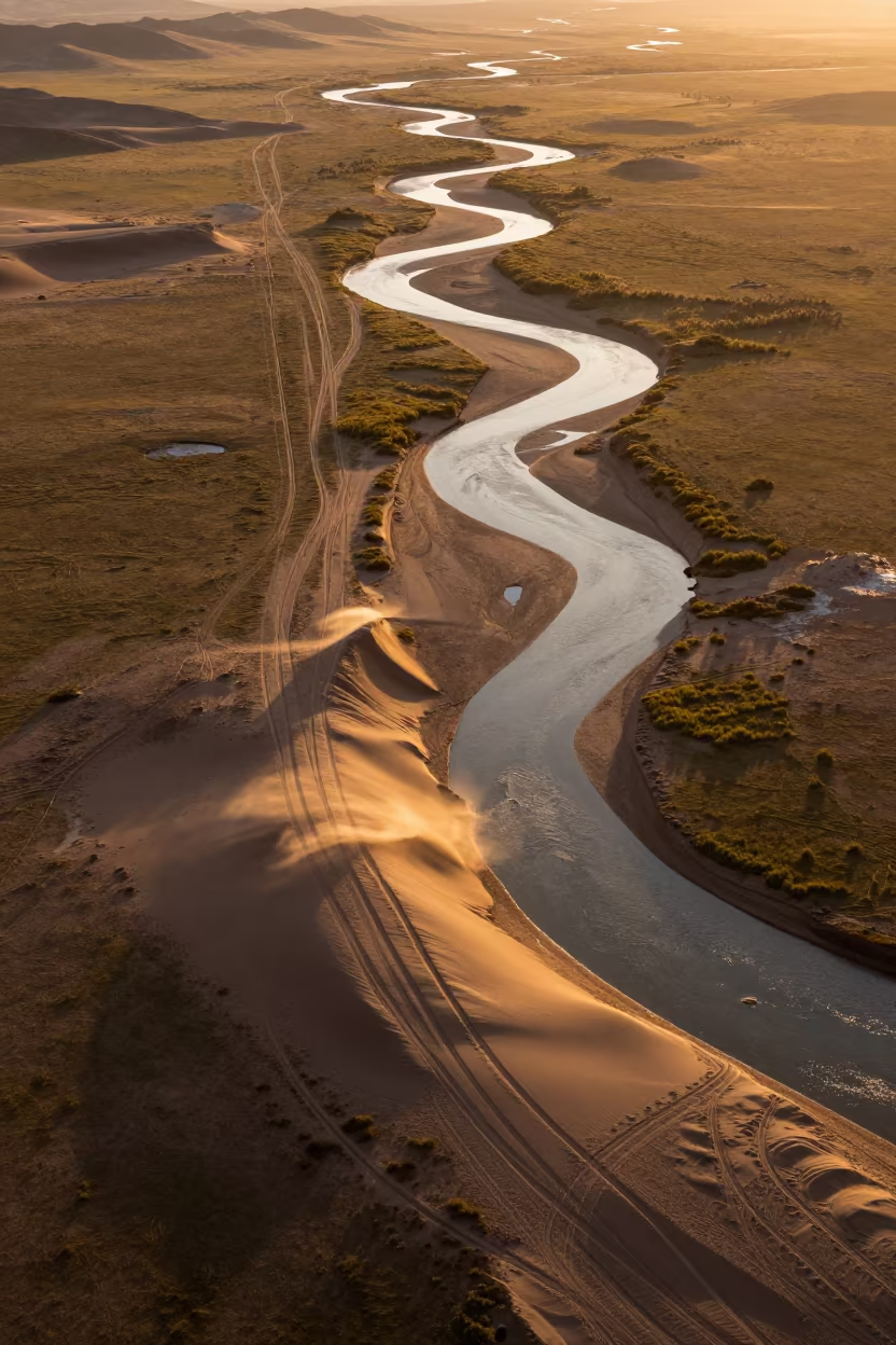
Amber Sunset Desert Tracks Over Mongolian River
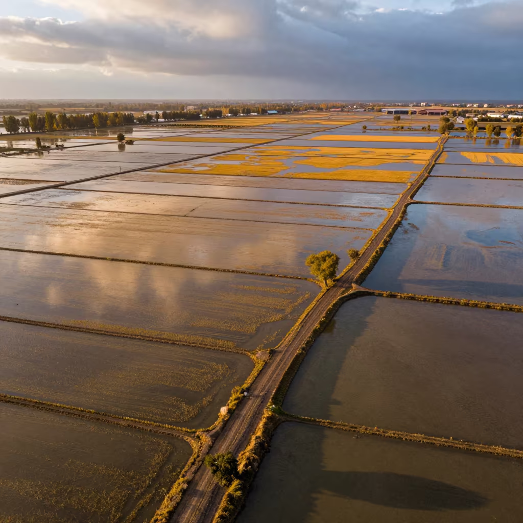
Aerial Rice Paddies Silk Road Evening Light
Libyan Canyon River Aerial View Late Afternoon

Night Aerial View of Braided Floodwater Malawi Dunes
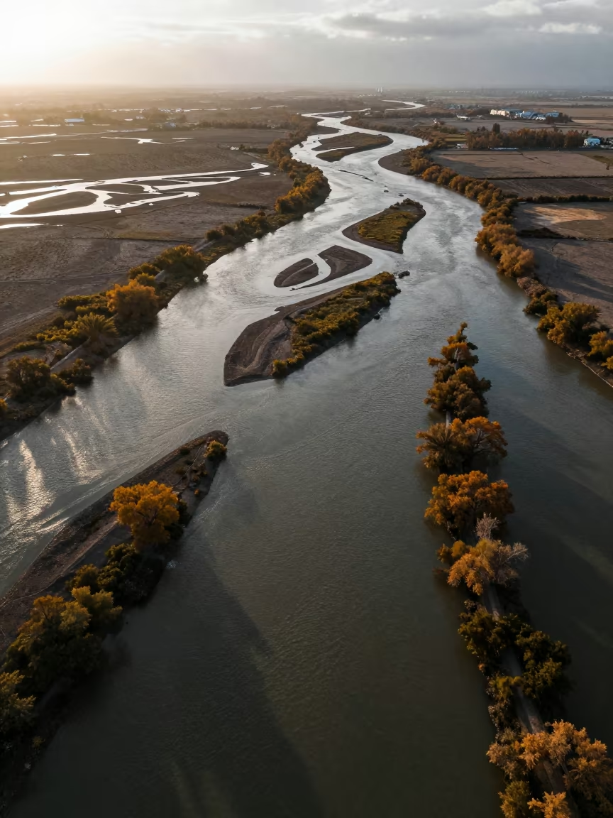
Autumn River Delta Aerial View North Korea
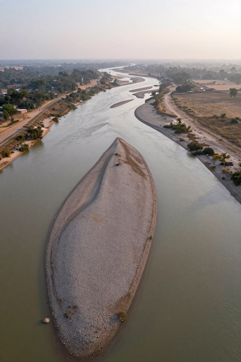
Braided Floodwater Channels Aerial View
Comments