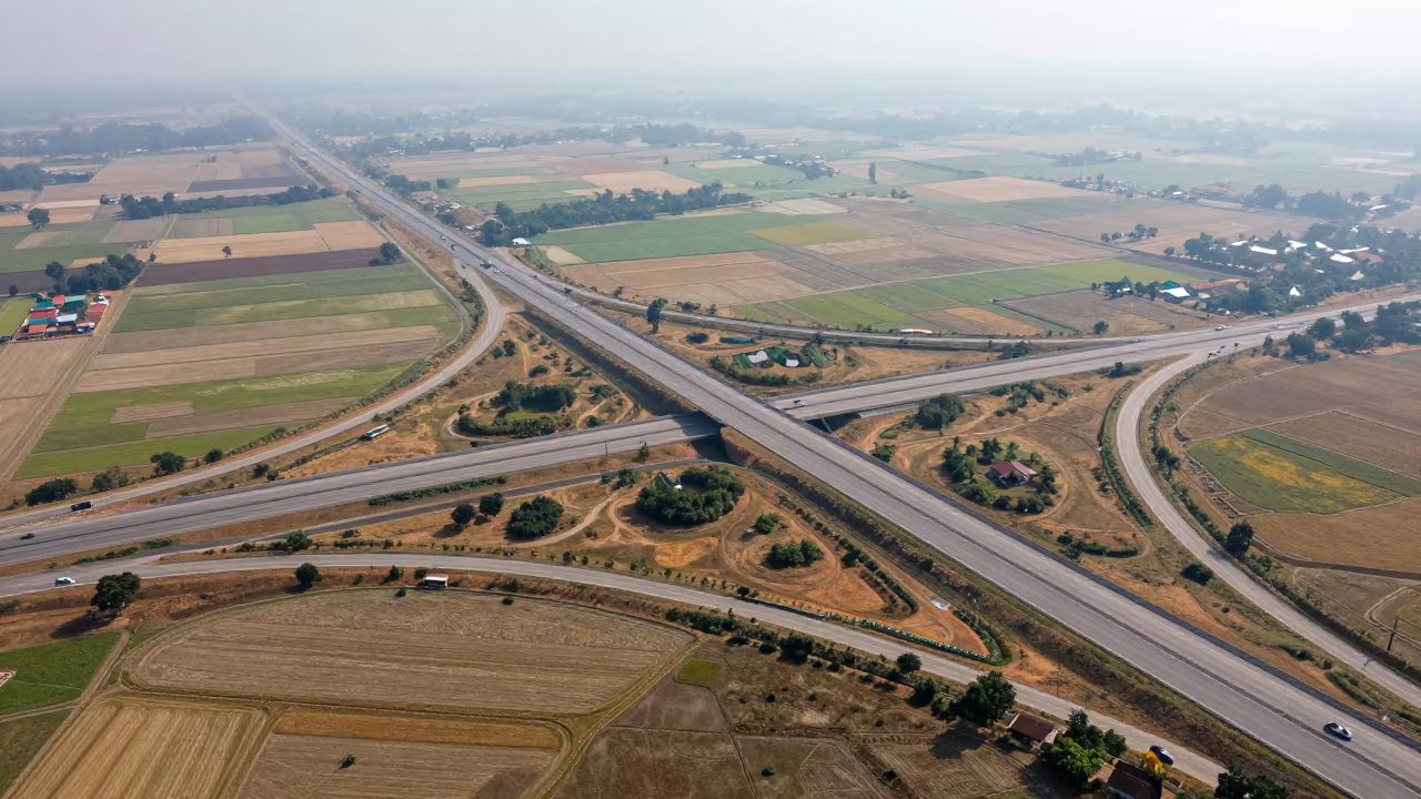
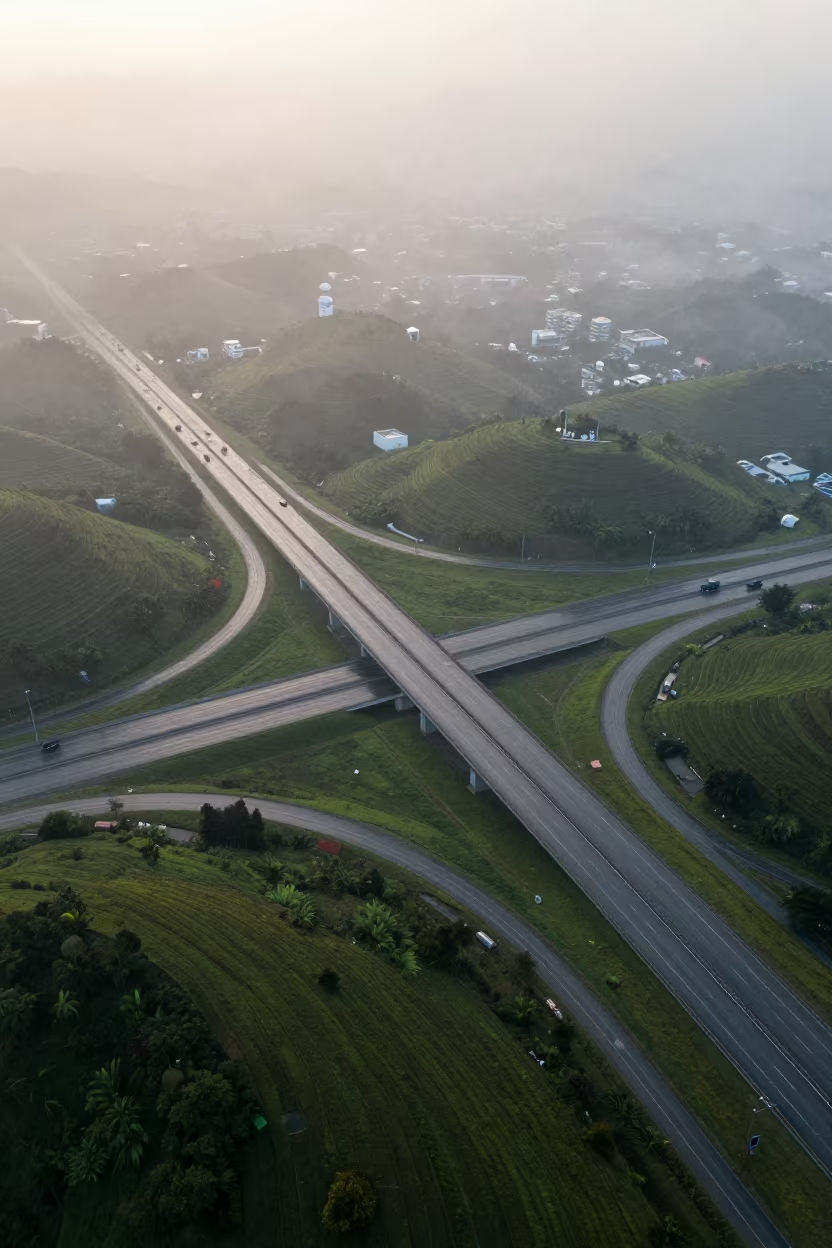
Aerial Freeway Interchange Irrigation Geometry Derby
by Mallory Cote
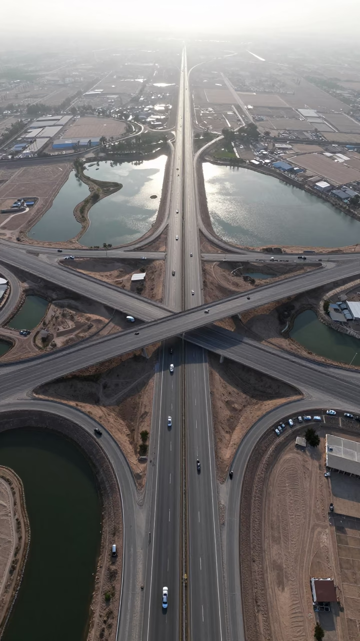
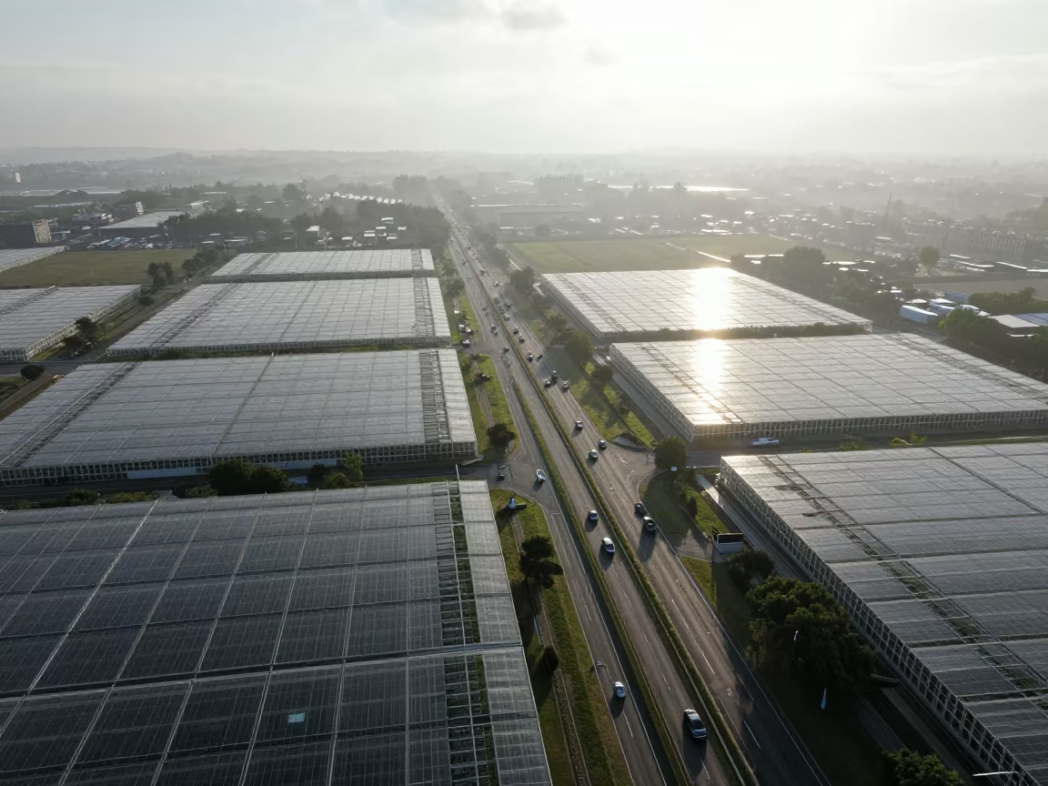
Directly overhead, a complex web of concrete ribbons curves and merges beneath a thin veil of light fog. The late-afternoon sun reflects off adjacent irrigation pools, casting shimmering silver patches across the gray asphalt and warm earth tones of the surrounding fields. Vehicles appear as tiny, slow-moving specks of red and white, tracing the curves of the ramps. The geometric precision of the water channels creates a grid-like pattern that contrasts with the organic flow of the traffic. Shadows stretch long and soft, defining the depth of the overpasses. The texture of the pavement is smooth and uniform, interrupted only by the faint white lane markings. At the edge of the frame, the irrigation water catches the light, creating a bright, liquid border against the dry, dusty soil of the early summer landscape.
Free to download. CDN hosting requires a link back to this page. Terms
Similar Images
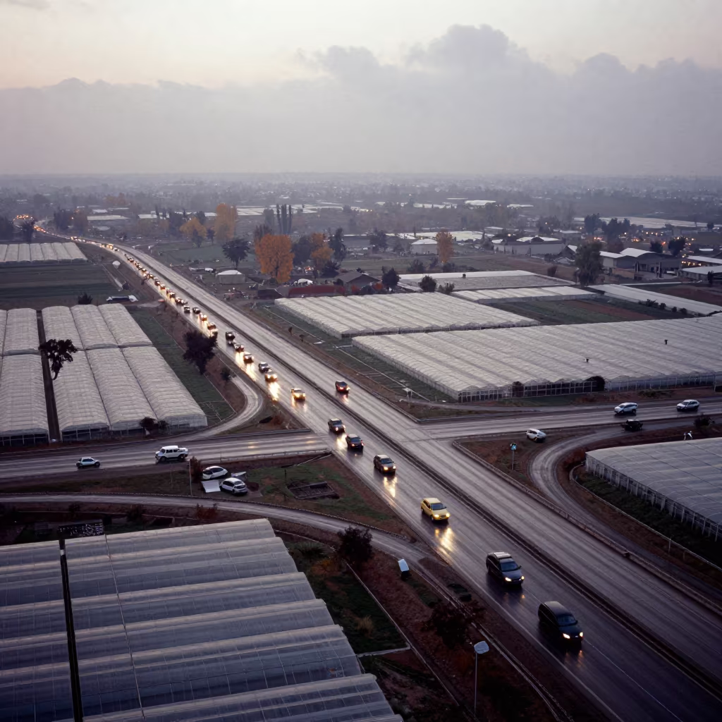
Autumn Freeway Interchange Over Greenhouse Grids
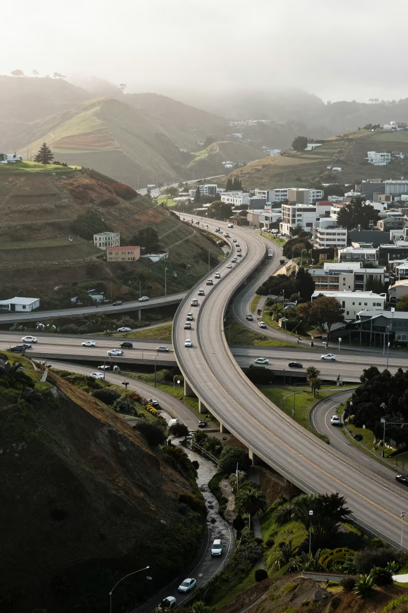
Aerial Rush Hour Freeway Near San Francisco Hills
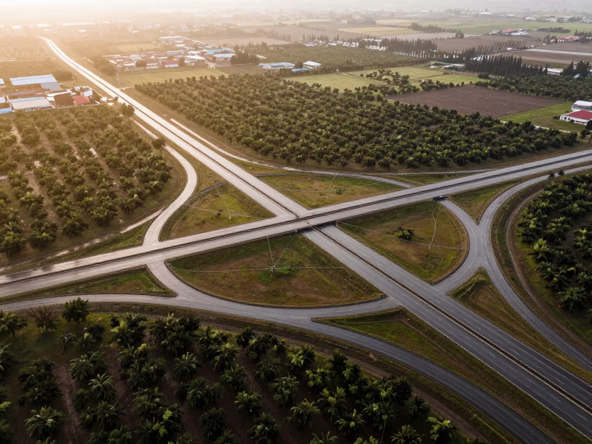
Golden Hour Aerial View of Peruvian Highway Cloverleaf
Aerial Cambodia Freeway Interchange Dry Season
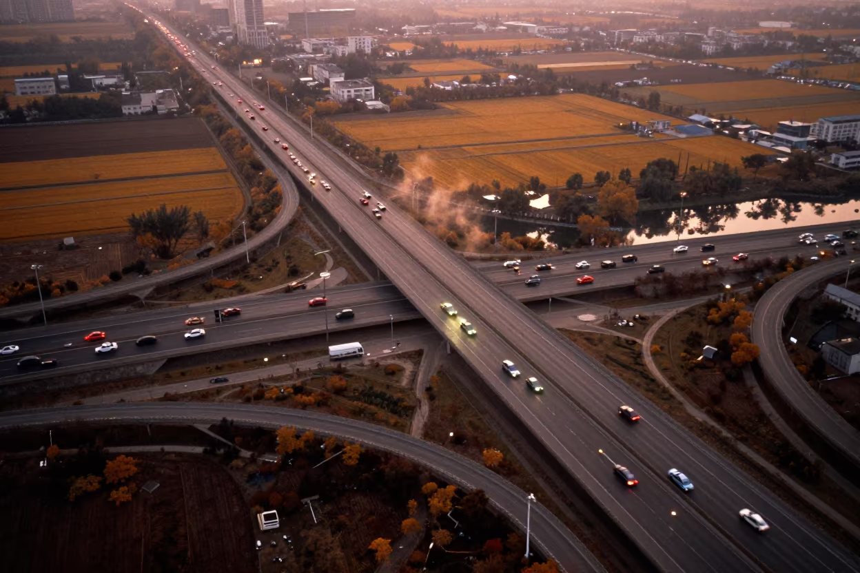
Zhengzhou Freeway Interchange Autumn Aerial
Aerial View of Irrigation Canals in Iran
Dubai Highway Vanishing Into Red Desert Dunes
Irish Salt Ponds Aerial Limestone Karst View
Aerial View of Copper Hills and Switchback Roads
Cloverleaf Highway Above Greenhouses at Dawn
Hebei Road Network Aerial Late Summer Afternoon
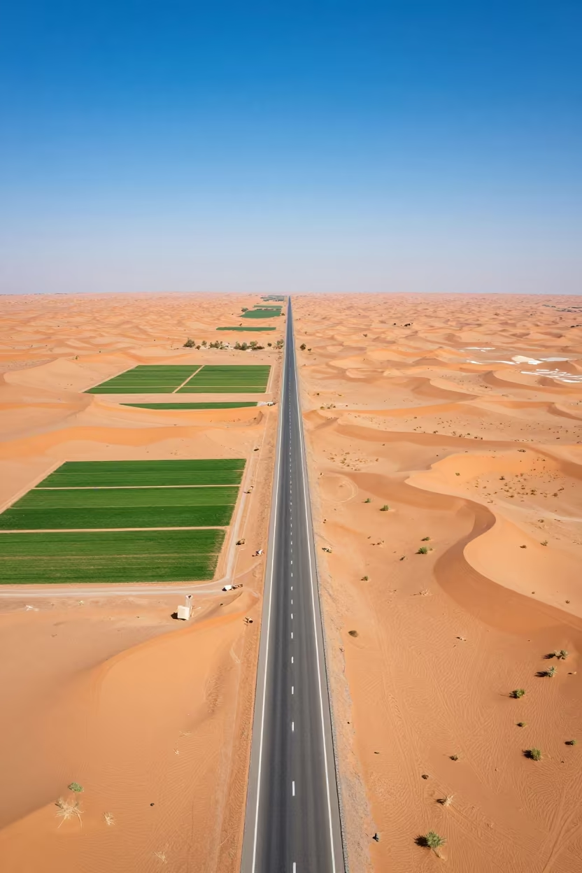
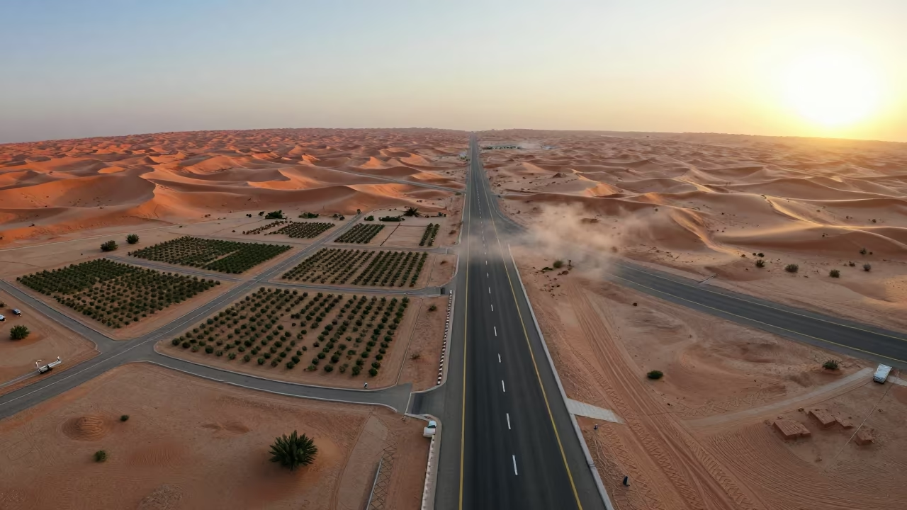
Saudi Desert Highway Cutting Through Red Dunes
Misty Aerial View of Mayari Freeway at Dawn
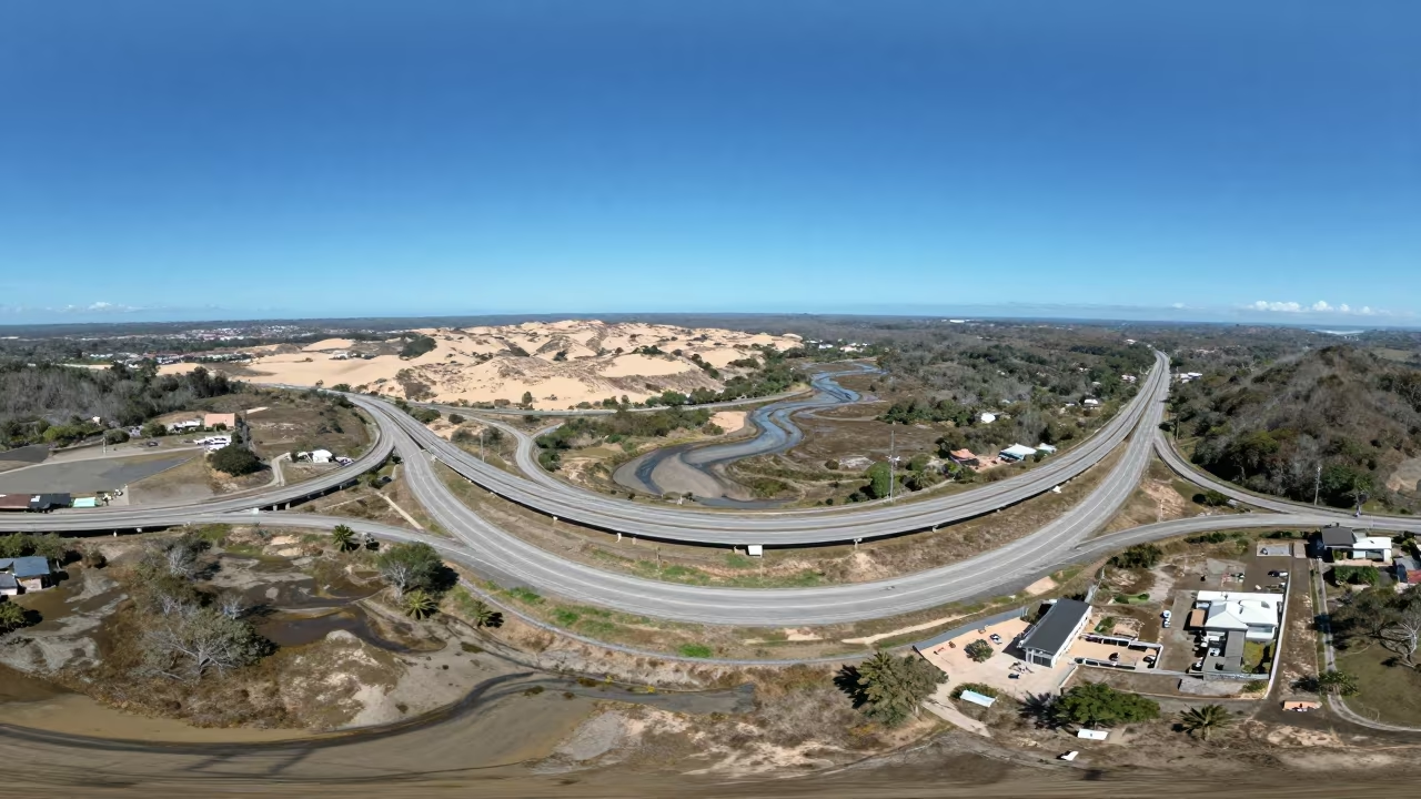
Highway Interchange Over Costa Rican Dunes
Winter Desert Switchbacks Drone View Mexico

Aerial View of Winter Harbor Geometric Ice Pans
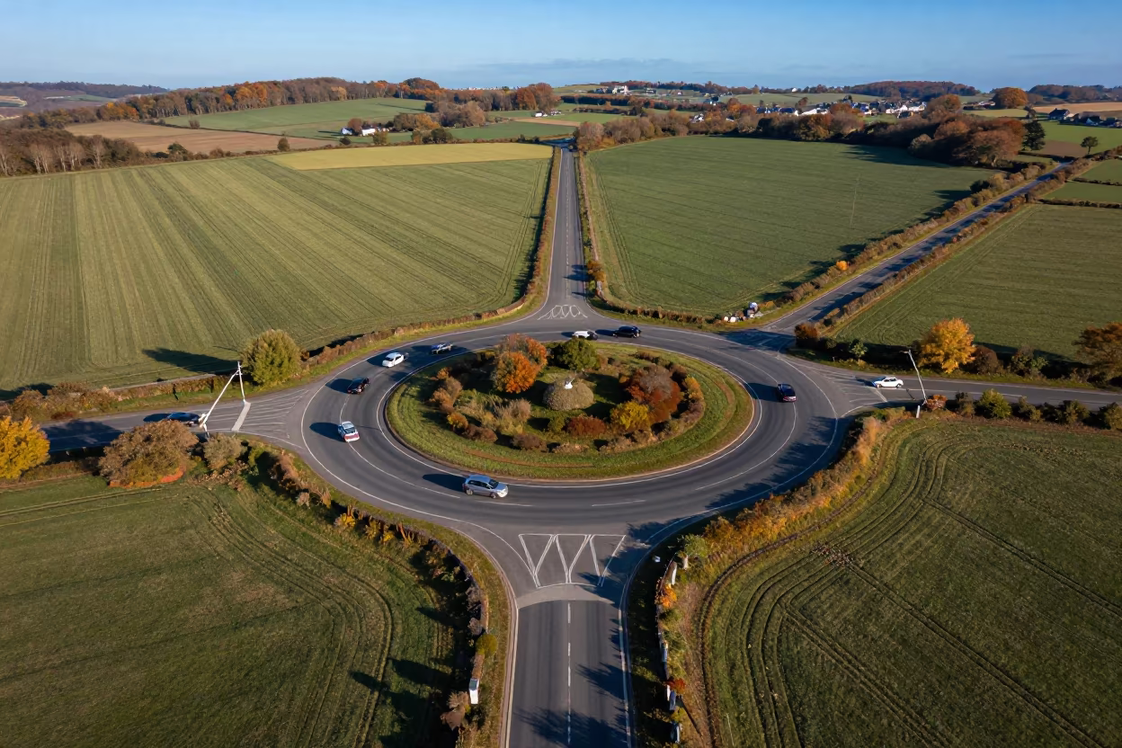
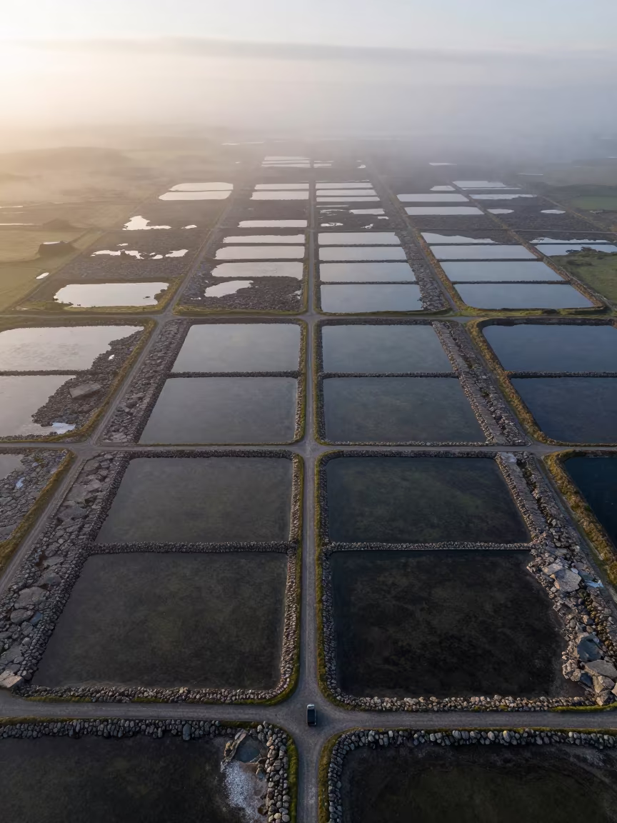
Aerial Roundabout Brittany Irrigation Geometry
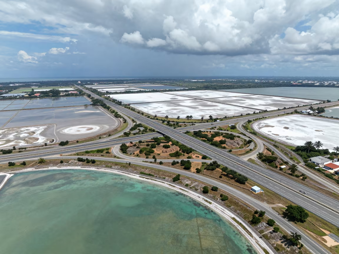
Aerial View of Cloverleaf Highway Over Salt Ponds
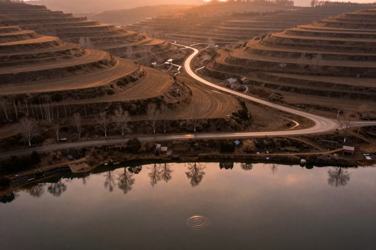
Surreal Aerial View of Lanes Reflecting Over Harbin Hills
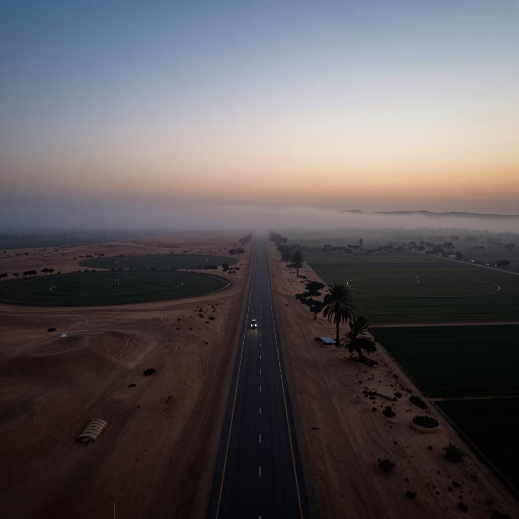
Desert Highway Silhouette Above Irrigation Fog
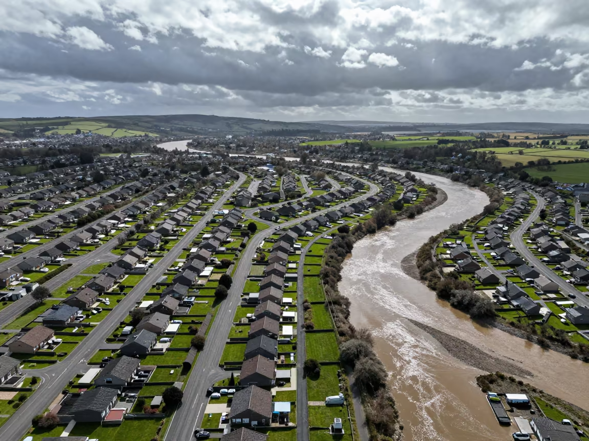
Aerial Suburban Cul-de-sacs Over Welsh River Meanders
Dubai Desert Highway Dunes Aerial View
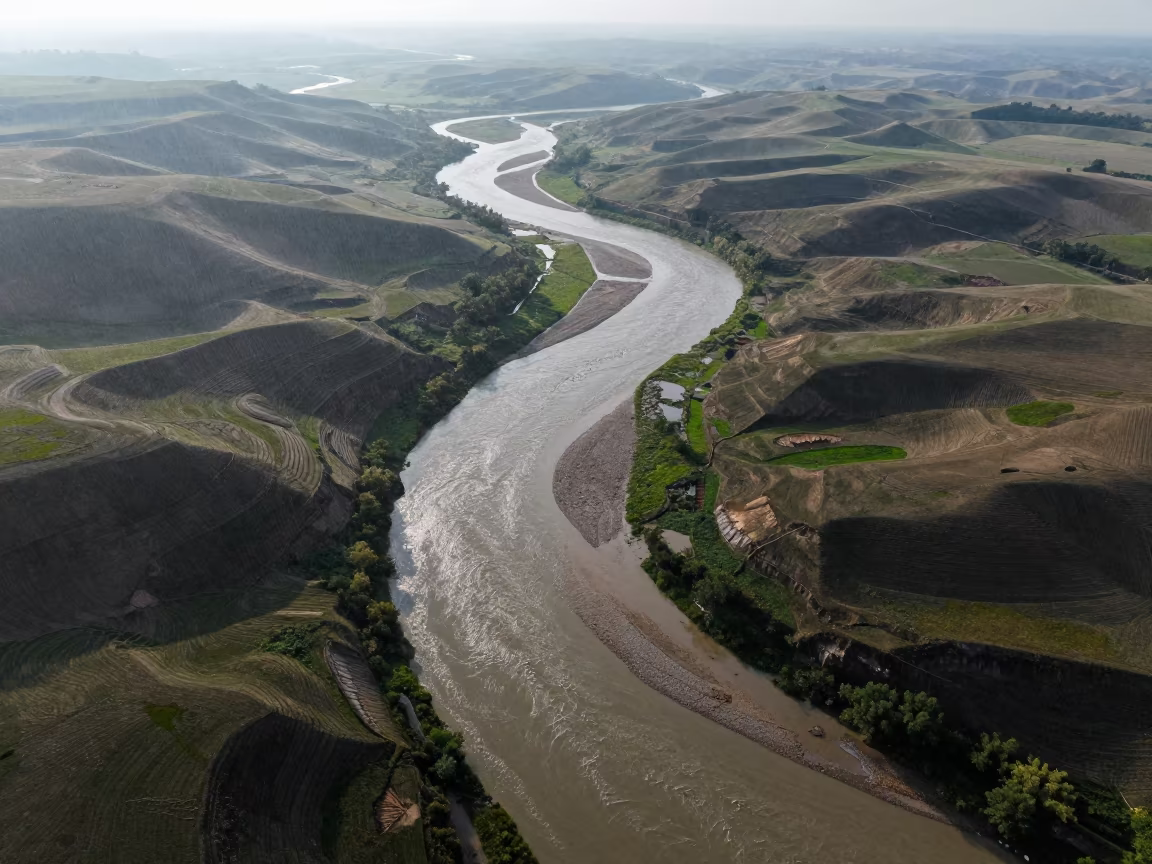
Braided River System Above Kansas Hills
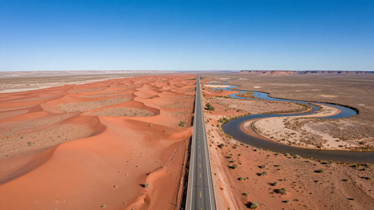
Arizona Desert Highway Vanishing Into Red Dunes
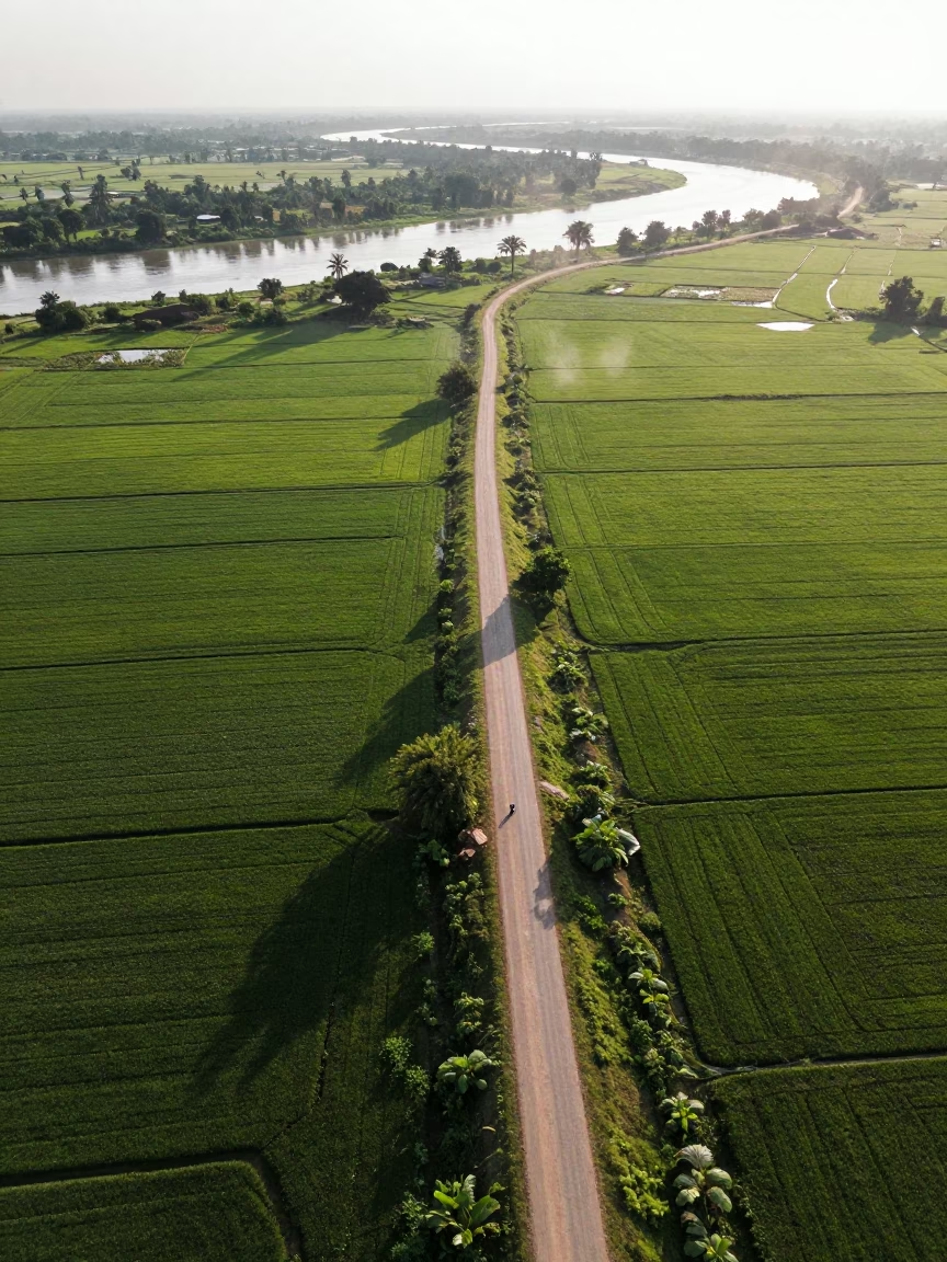
Aerial View of Country Lanes and Irrigation Fields
Aerial View of Hubei Irrigation Fields at Dawn

Rice Terraces Over Braided River Channels
Snow Dusted Cloverleaf Highway Aerial View
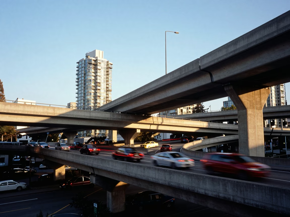
Vancouver Overpass Interchange at Clear Late-afternoon Light
Dawn Causeway Traffic Over Greenhouse Grids East London
River Delta Branching Over Kimberley Greenhouse Grids
Dawn Spray on Dam Crest Road Rim Light
Aerial View of Irrigation Patterns Near Chelmsford
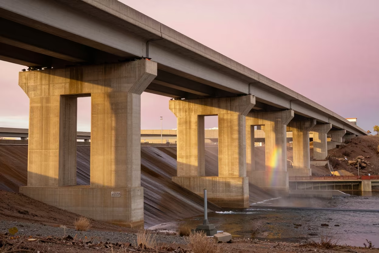
Highway Flyover Stack Over Albuquerque Dam at Golden Hour
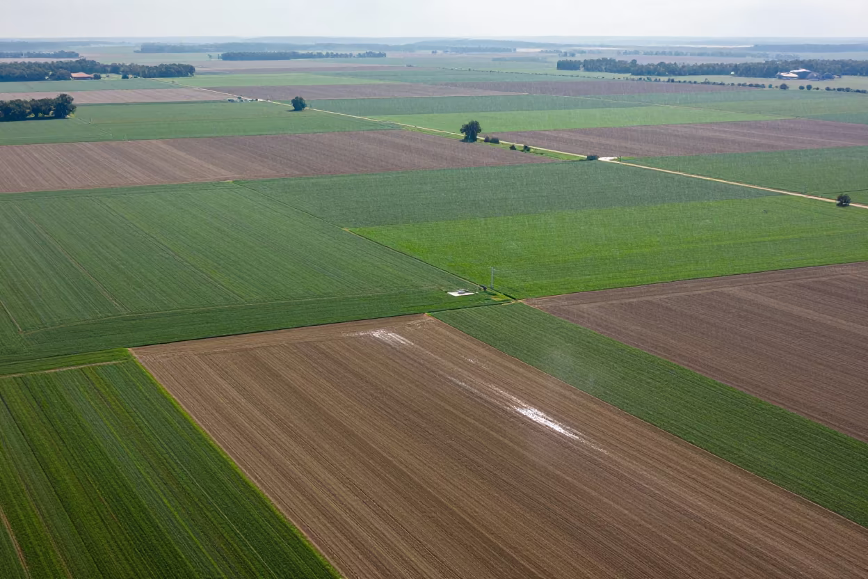
Kansas Farmland Patchwork Under Drizzle
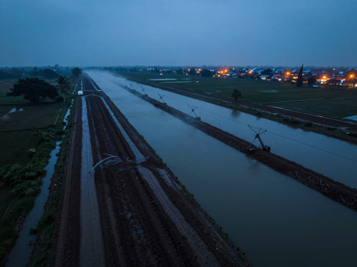
Surabaya Irrigation Canals Blue Hour Drone View
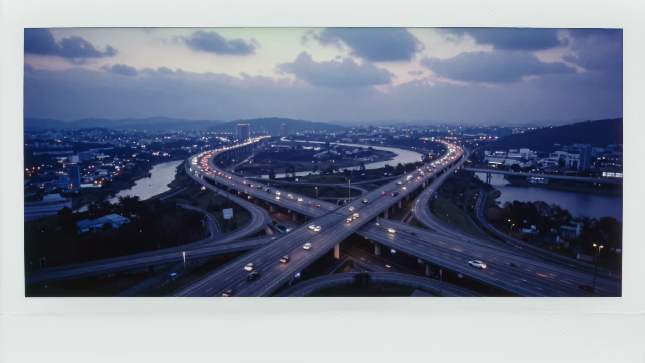
Blue Hour Freeway Interchange South Korea
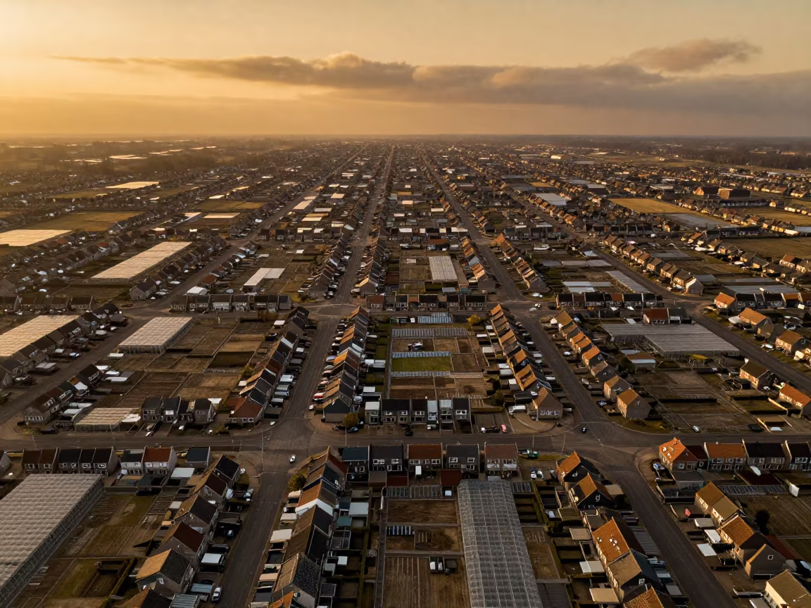
Amber Dutch Cul-de-sac Grid Aerial View
Comments