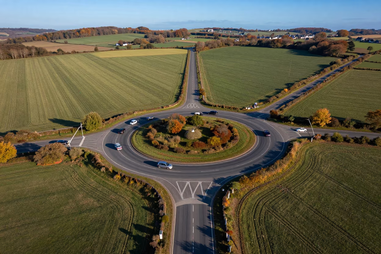
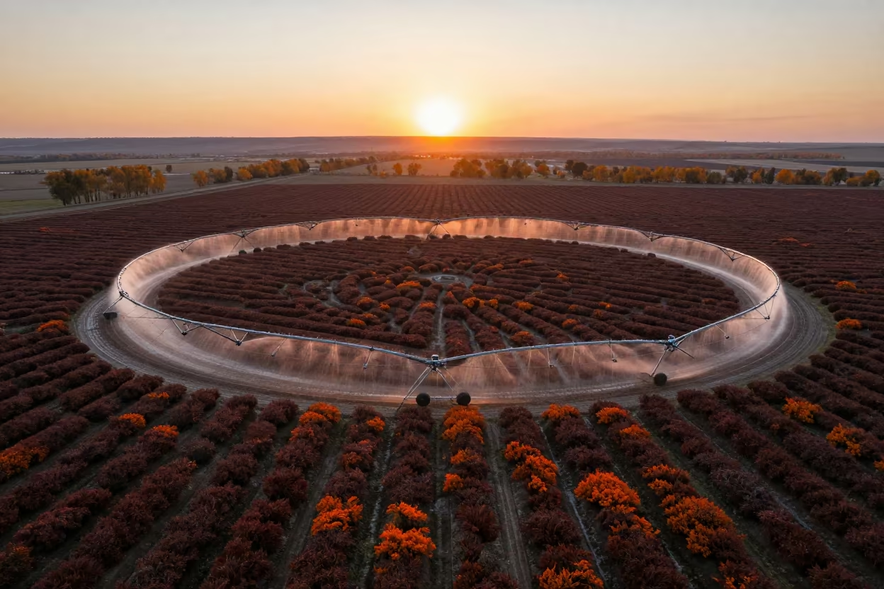
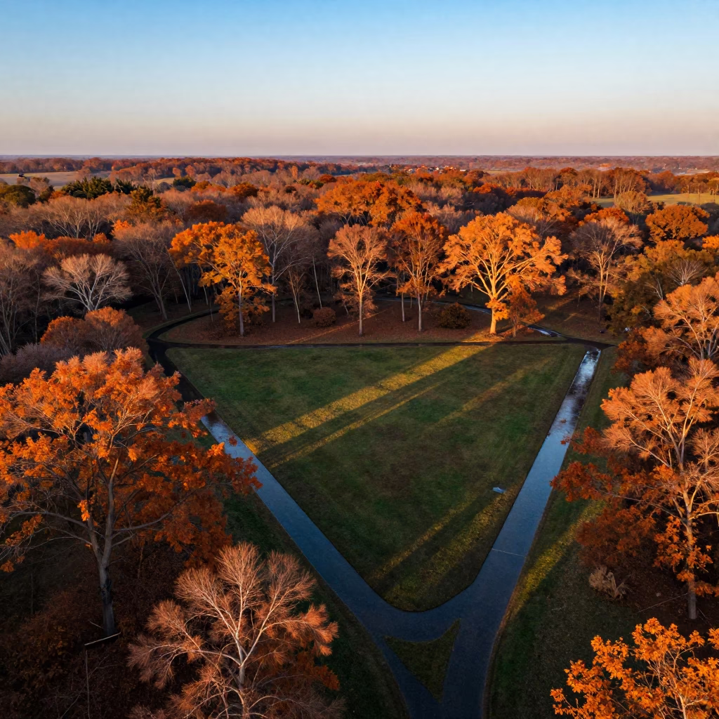
Aerial Roundabout Brittany Irrigation Geometry
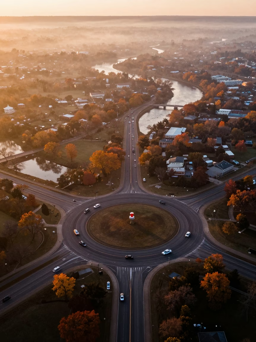
Sunlight slices across the Brittany landscape in sharp late-afternoon rays, exposing the stark geometry of irrigation patterns below. A circular traffic roundabout anchors the center, its asphalt surface catching the bright daylight while cars appear as small, moving specks along the curved lanes. Diagonal lines from the surrounding fields cut across the frame, creating a tense visual rhythm against the perfect circle. The earth displays a patchwork of autumnal greens and fading browns, marking the turn of the seasons under a cloudless, deep blue sky. Sharp shadows stretch across the fields, showing the flatness of the terrain and the precise order of the agricultural grid. A white vehicle navigates the outer ring, casting a tiny, distinct shadow on the dark pavement.
Free to download. CDN hosting requires a link back to this page. Terms
Similar Images
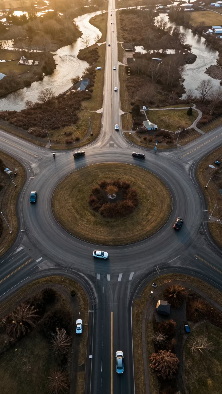
Aerial winter roundabout over braided rivers
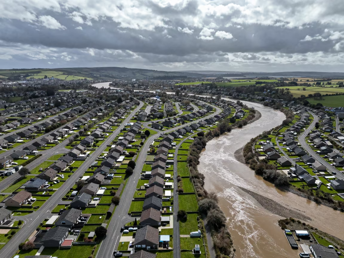
Aerial Suburban Cul-de-sacs Over Welsh River Meanders
Golden Hour Aerial View of Peruvian Highway Cloverleaf
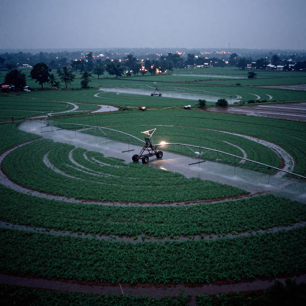
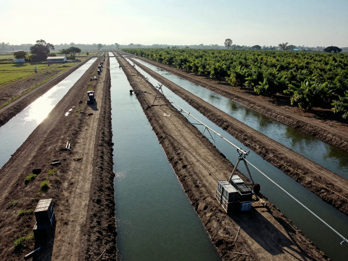
Circular Irrigation Patterns Karnataka Rainy Season
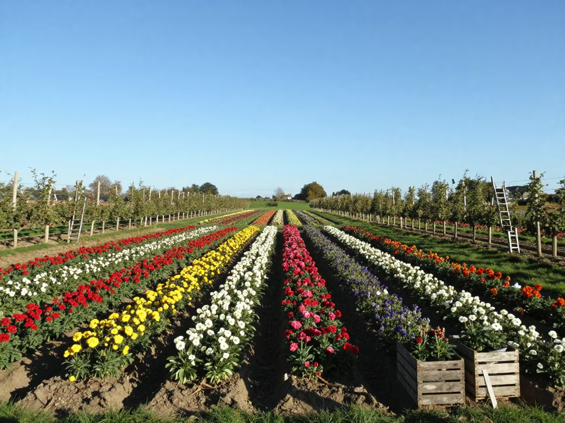
Silhouetted Flower Farms in Brittany
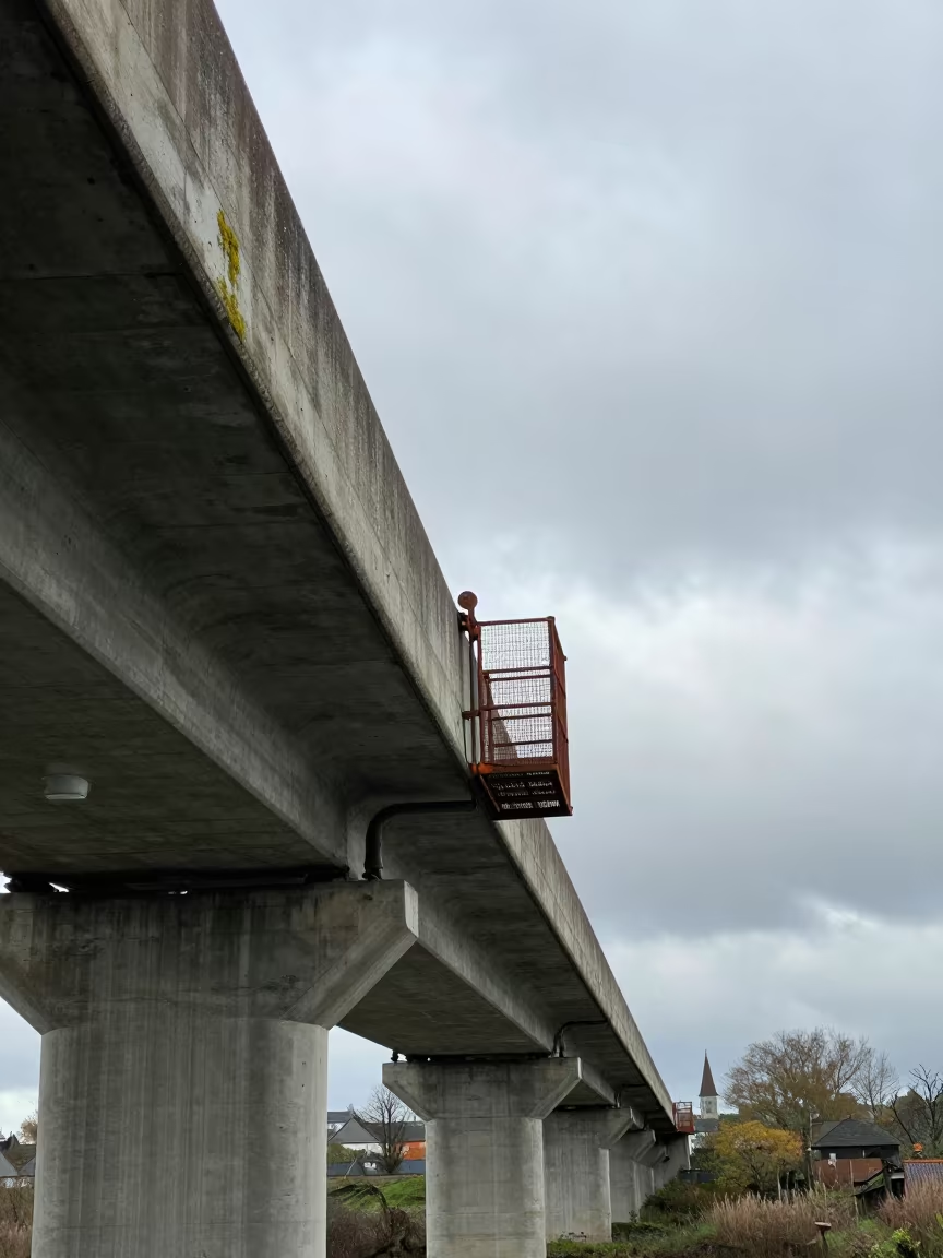
Bridge Maintenance Cage Swinging in Brittany Wind
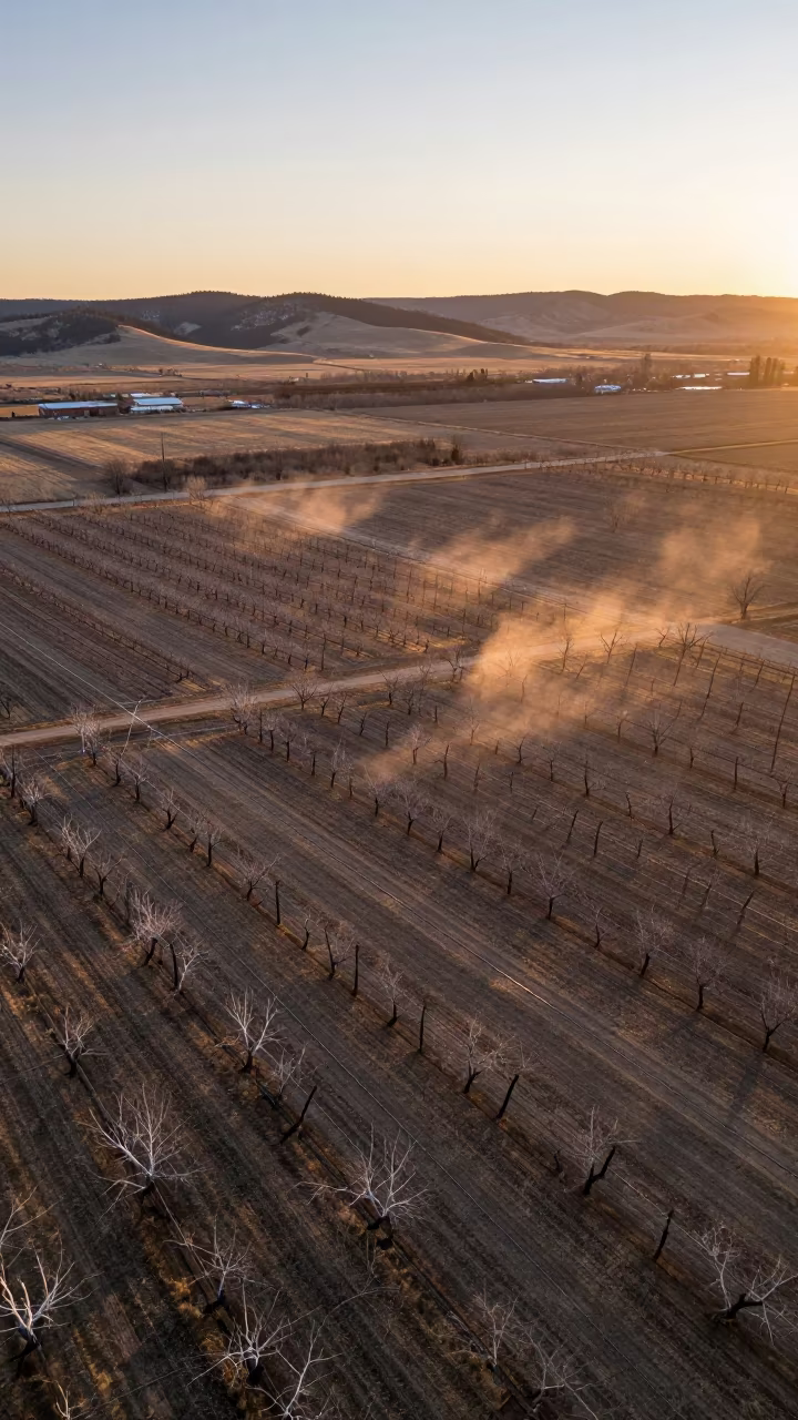
Aerial View of Colorado Orchards at Sunset
Autumn Irrigation Pivot Patterns Tea Plantation
Aerial Monsoon Roundabout Over Braided Rivers Gujarat
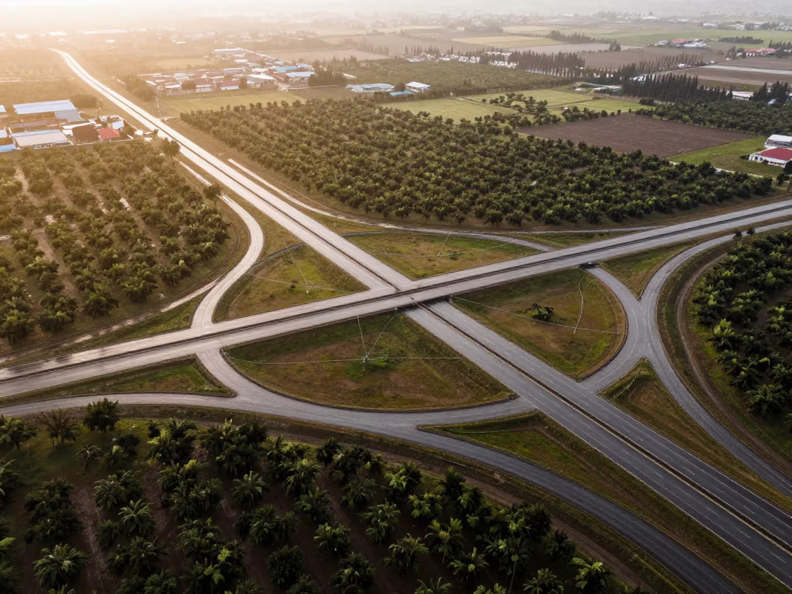
Aerial Freeway Interchange Irrigation Geometry Derby
Aerial Bridge View Over River With Dappled Light
Aerial Roundabout Traffic River Wollongong
Symmetrical Drone View of Railroad Bridge Over Gorge
Basque Aerial View of Autumn Rooftops and Water Wakes
Aerial View of Roundabout Traffic Near Mixco Greenhouses
Aerial autumn forest sunset irrigation geometry Arua
Aerial View of Roundabout Traffic Near Braided River
Winter Frost Bridge Span Brittany Noon

Dawn Shadows Over Irrigation Geometry Stadium
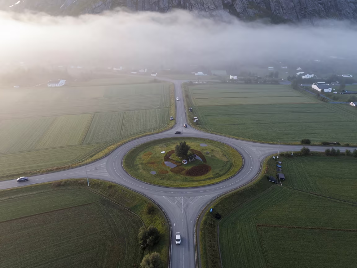
Aerial View of Norwegian Roundabout in Misty Dawn
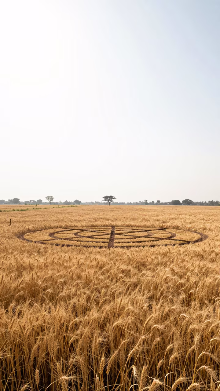
Golden Wheat Crop Circle Monsoon Noon Bhiwandi
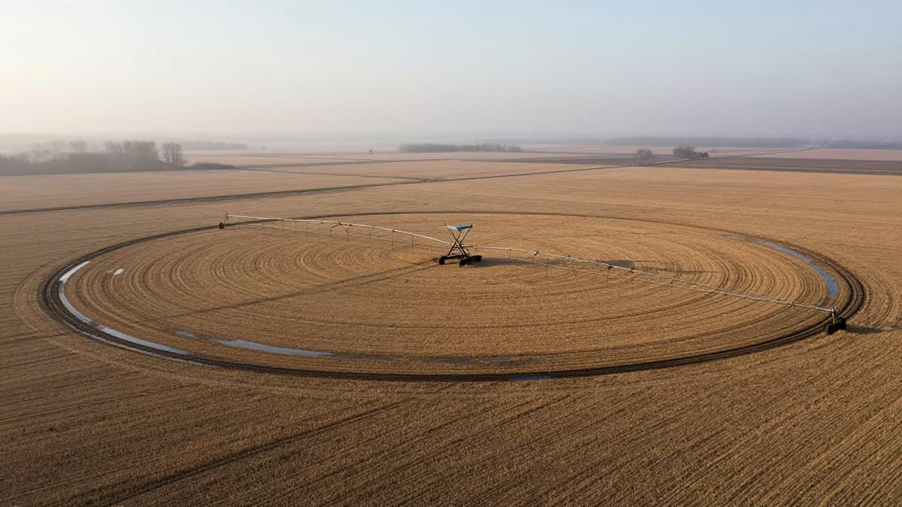
Circular Irrigation Patterns Over Harvested Field
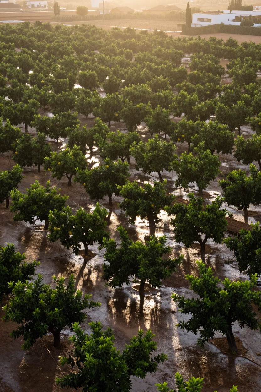
Aerial Patchwork Orchards Sunset Rain Alicante
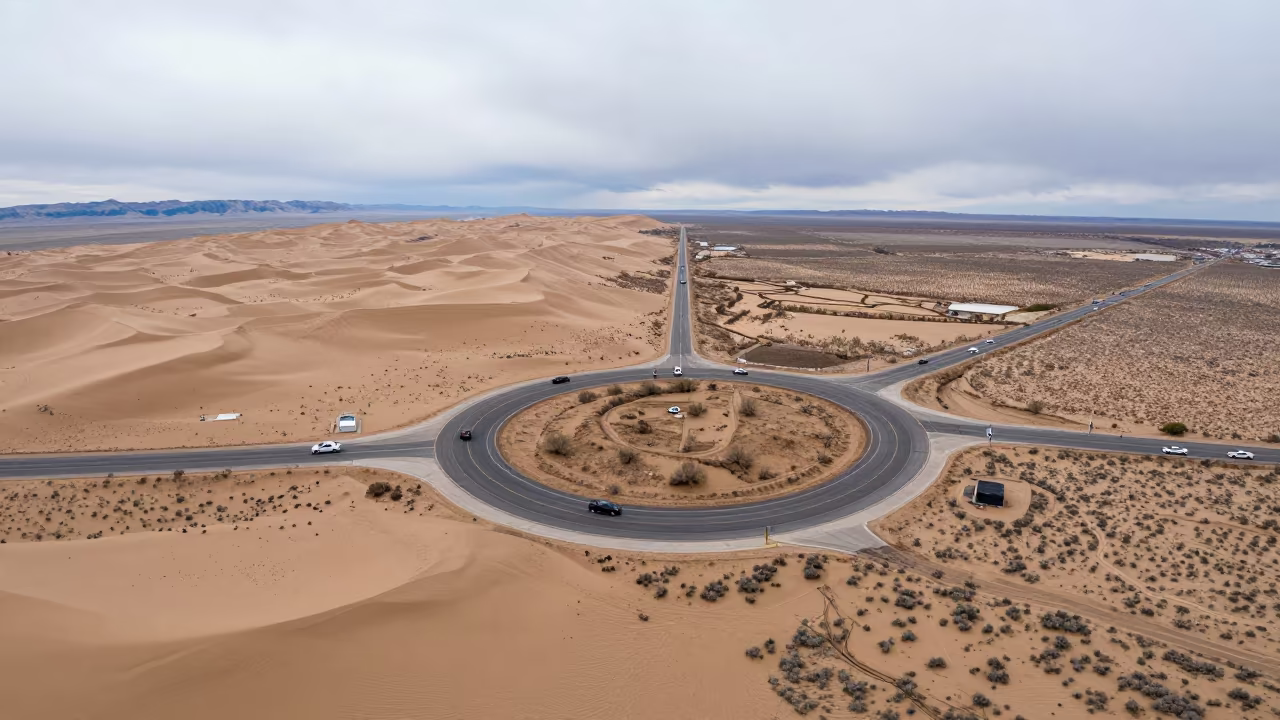
Utah Roundabout Amid Dunes Overcast Sky
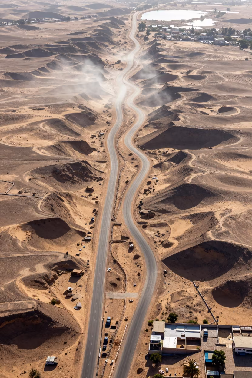
Aerial View of Rajasthan Desert Switchbacks Noon Sun
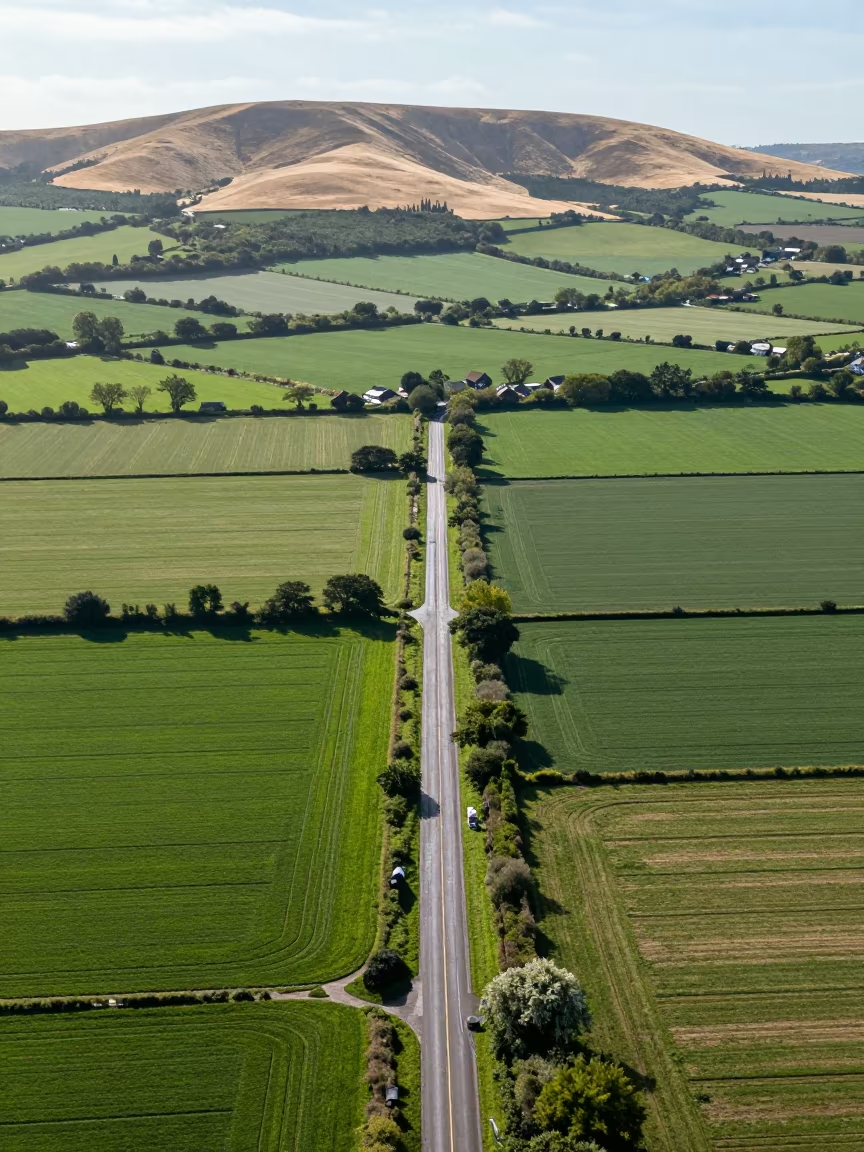
Aerial View of Country Lanes and Irrigation Fields
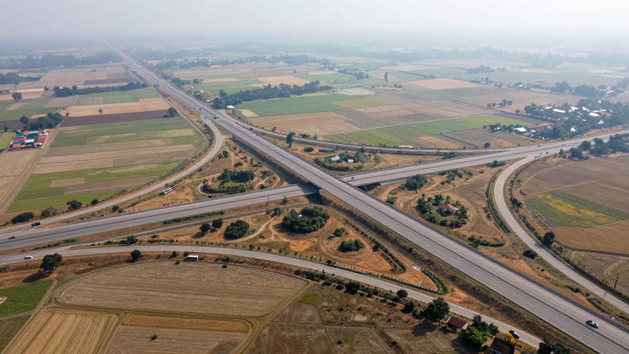
Aerial Cambodia Freeway Interchange Dry Season
Austrian Suspension Bridge After Storm
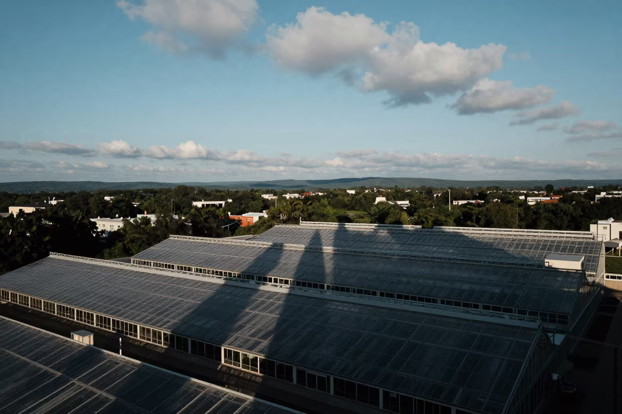
Aerial Skyscraper Shadows Over West Virginia Greenhouses
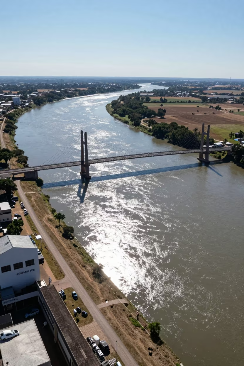
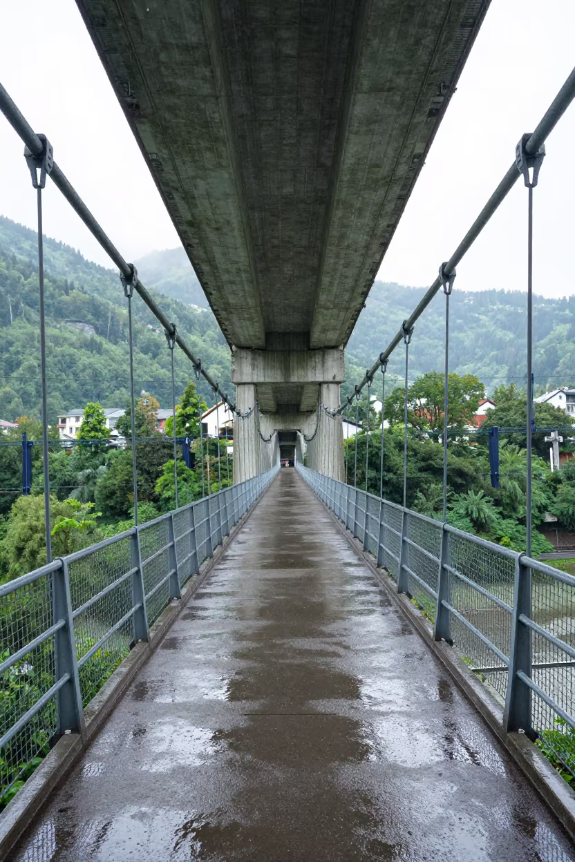
Aerial View of Suspension Bridge Over River
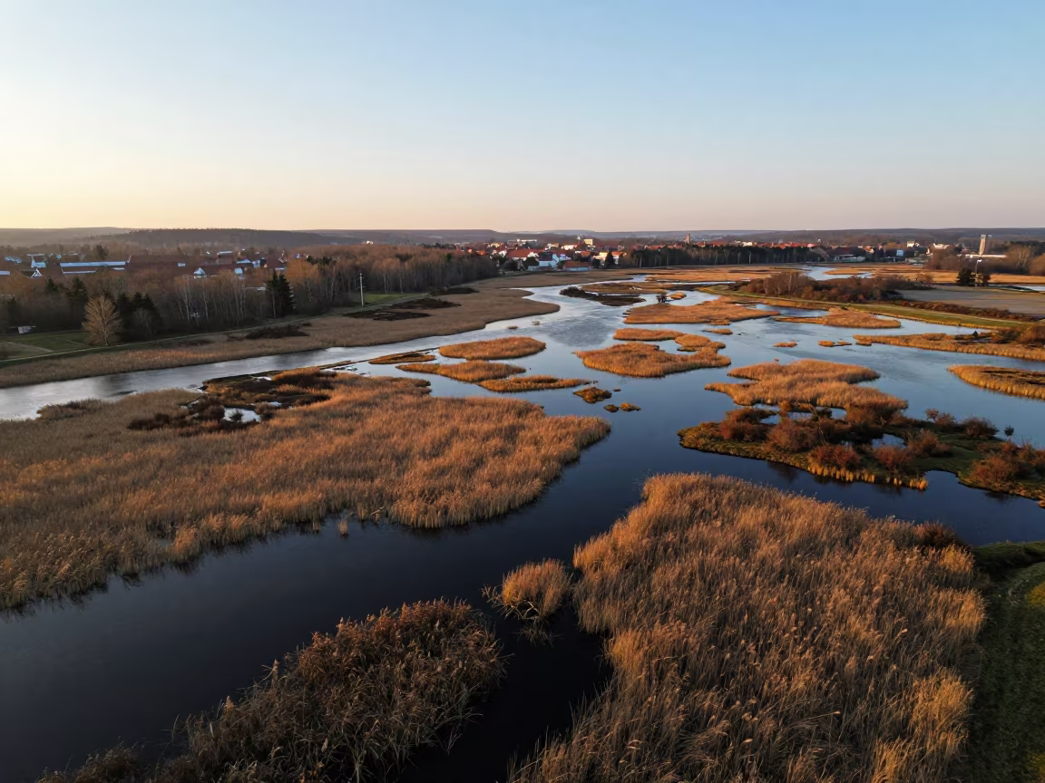
Golden Hour Aerial Wetland Saxony Reeds
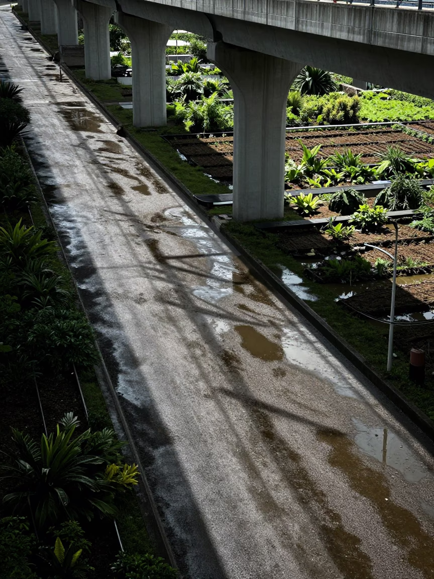
Viaduct shadow cutting across allotment gardens after rain in Kaohsiung Taiwan midday
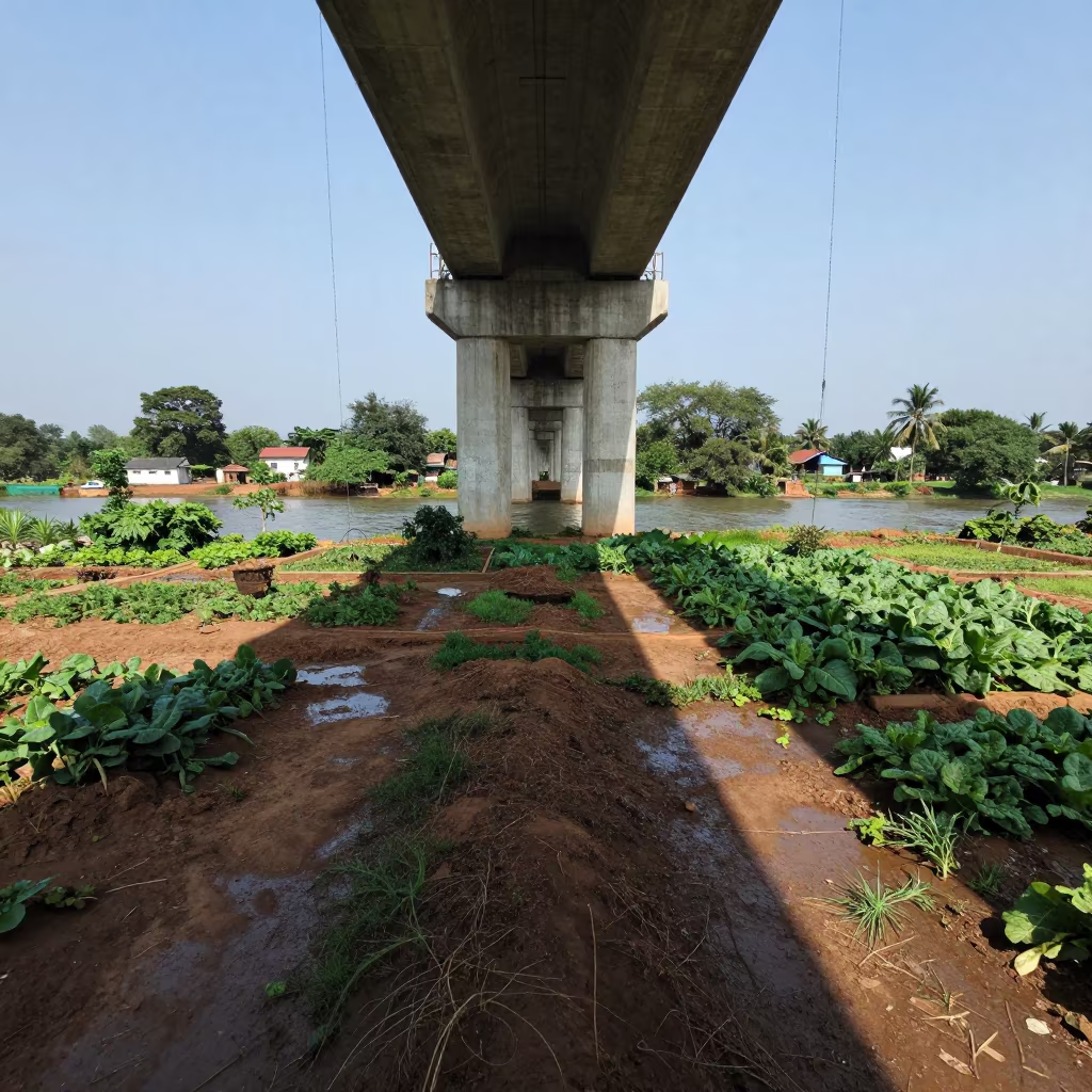
Viaduct Shadow Cuts Across Odisha Gardens

Land Rover Crossing Mirror River on Lyon Causeway

Radiotelescope Crane at Dawn on Brittany Platform
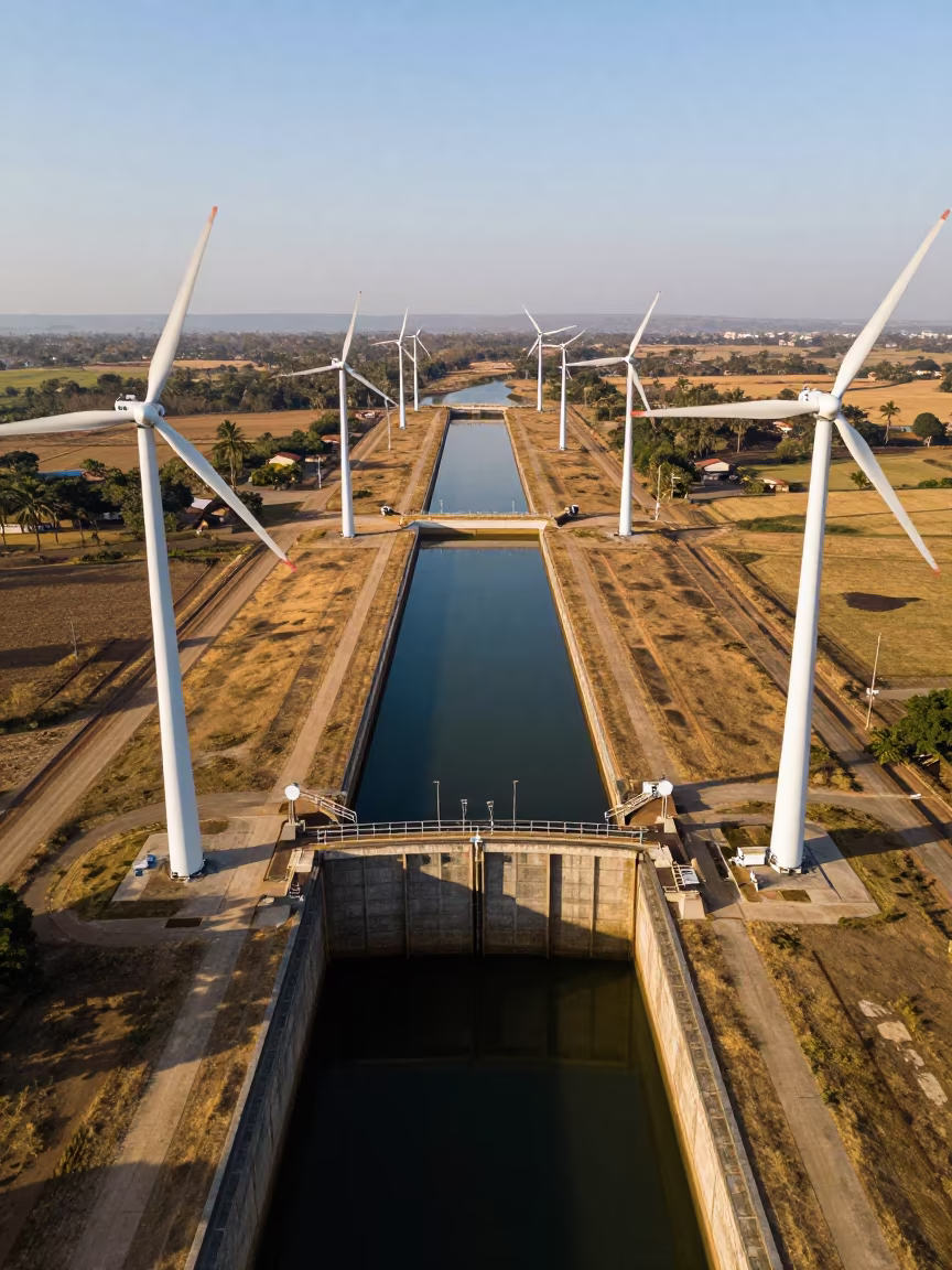
Drone View of Wind Turbines Over Canal Lock
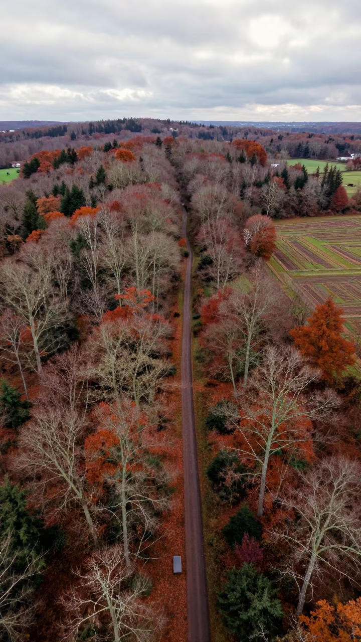
Aerial View Winding Trail Through English Forest
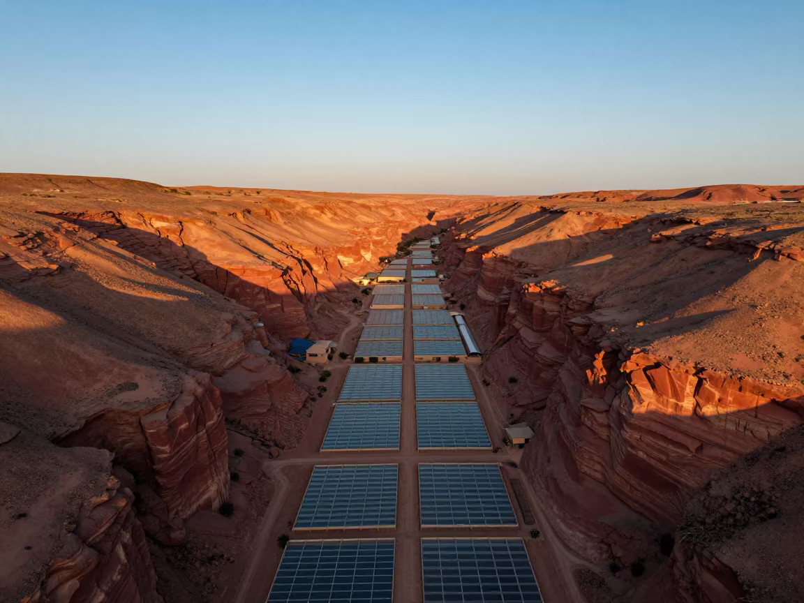
Golden Hour Drone View Red Canyon Near Marrakech
Comments