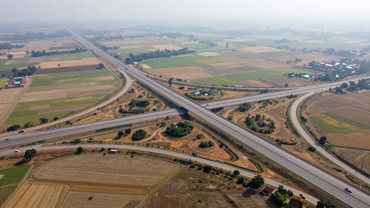
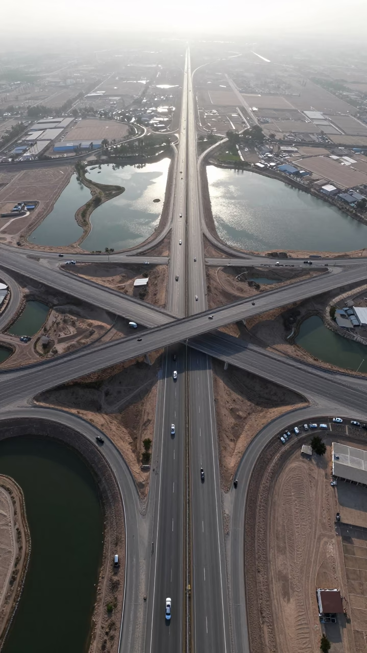
Aerial Cambodia Freeway Interchange Dry Season
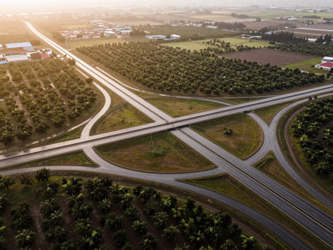
Bright midday light floods a sprawling freeway interchange suspended above a grid of irrigation fields in Cambodia. The dry season leaves the earth in shades of parched ochre and dusty beige, contrasting sharply with the dark asphalt ribbons weaving through the landscape. A light fog hovers low over the green rice paddies, softening the edges of the geometric water channels while keeping the concrete structures crisp and distinct. Vehicles appear as tiny, moving specks along the curved ramps, showing the immense scale of the infrastructure. The layout follows a strict rule of thirds, drawing the eye across the intersecting roads and the precise, man-made geometry of the waterways below. A sharp shadow from a concrete overpass cuts across a patch of dry earth, defining the depth between the sky and the ground.
Free to download. CDN hosting requires a link back to this page. Terms
Similar Images

Phnom Penh Cambodia Golden Hour Highway Flyover and Riverfront Life
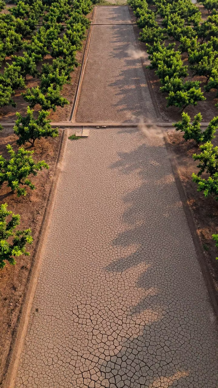
Cracked Mud Patterns Over Cambodian Orchards
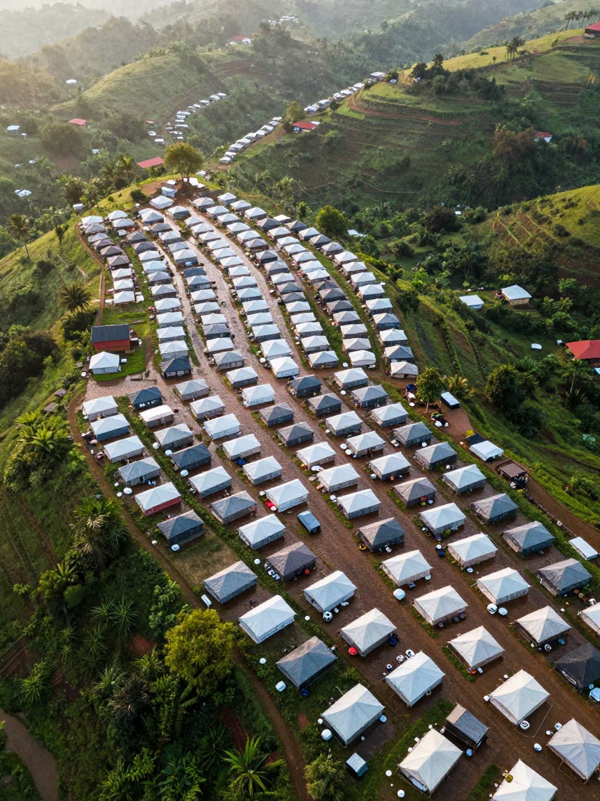
Aerial Refugee Camp Grid Rows Cambodia Hills
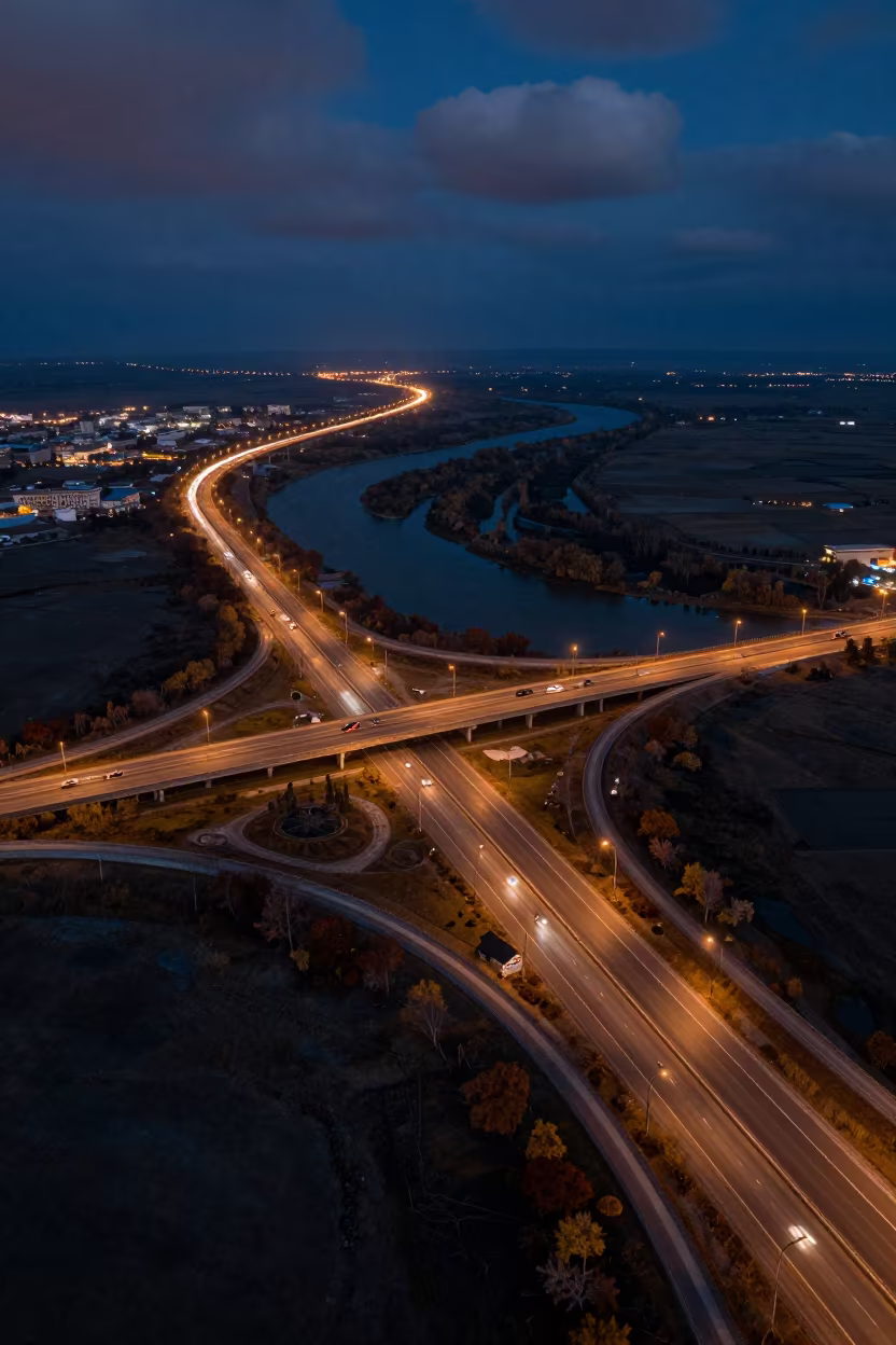
Aerial Night View Uzbekistan Highway Interchange
Aerial Freeway Interchange Irrigation Geometry Derby
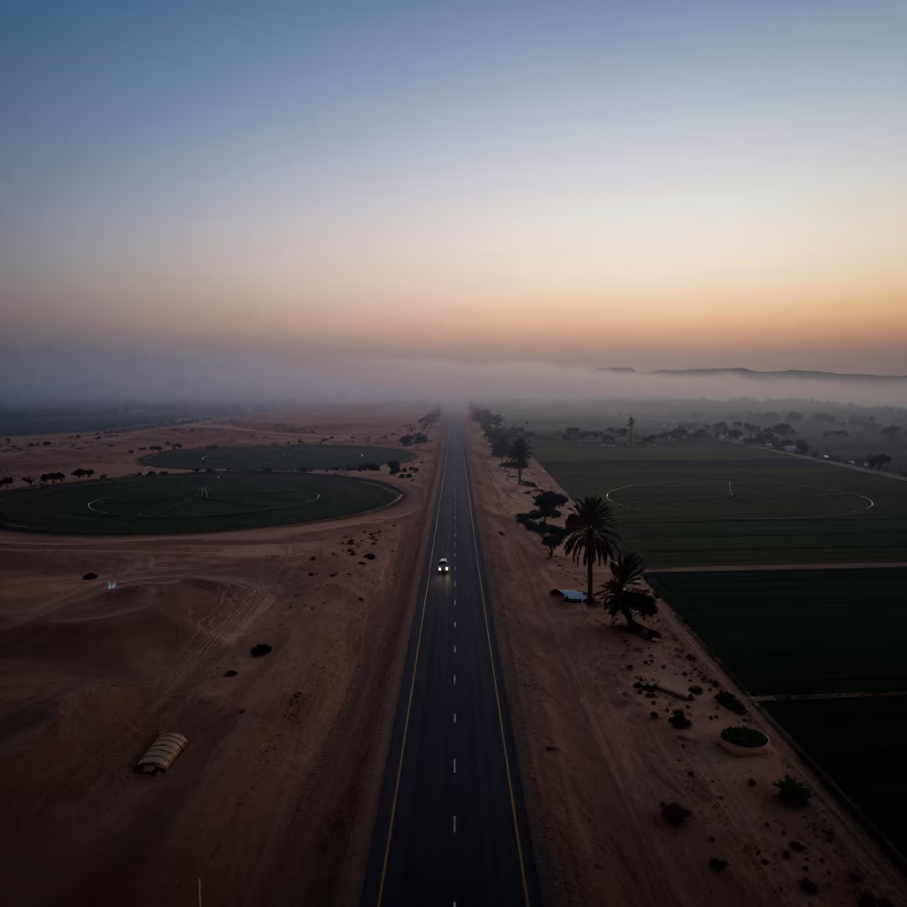
Desert Highway Silhouette Above Irrigation Fog
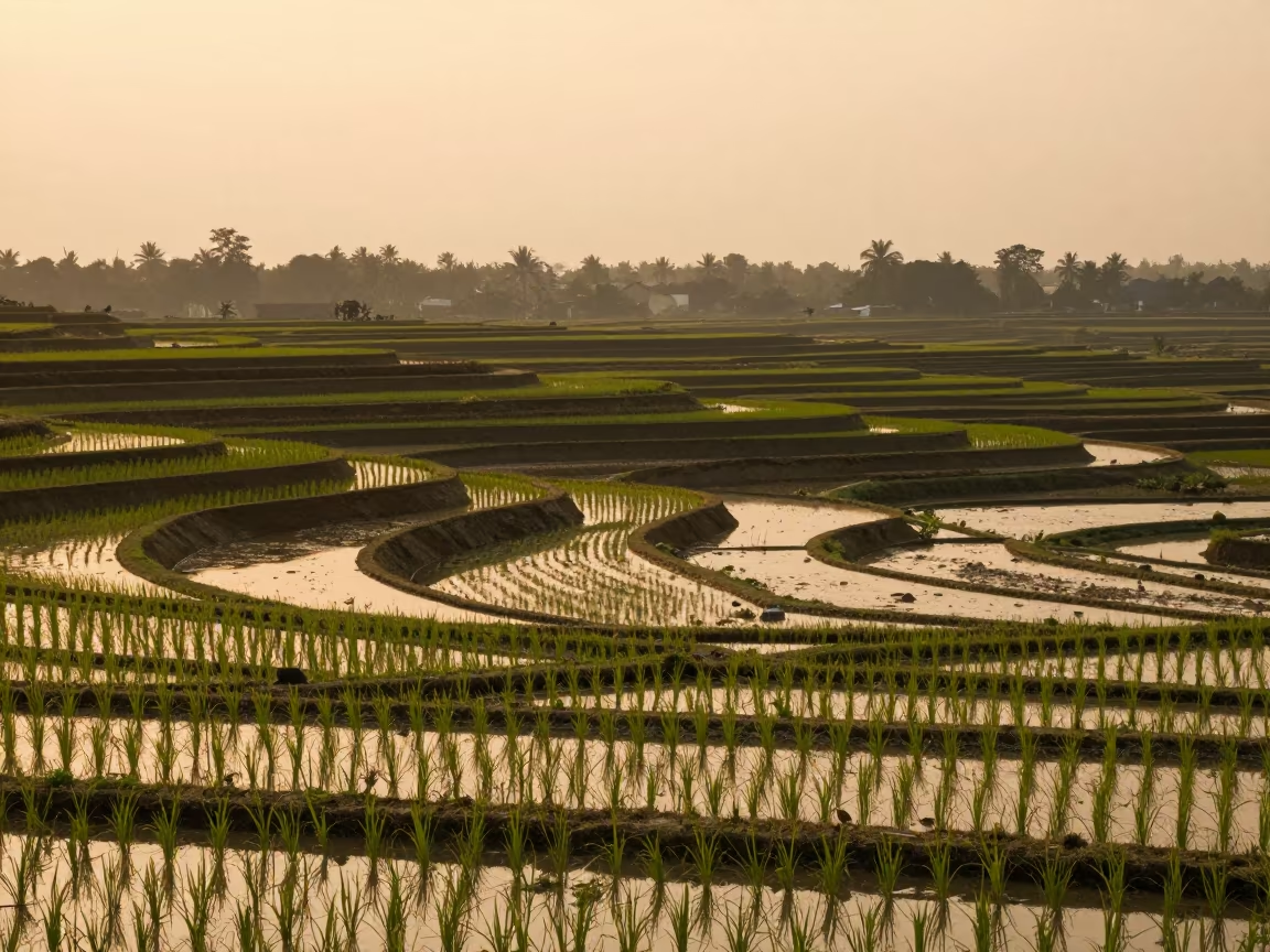
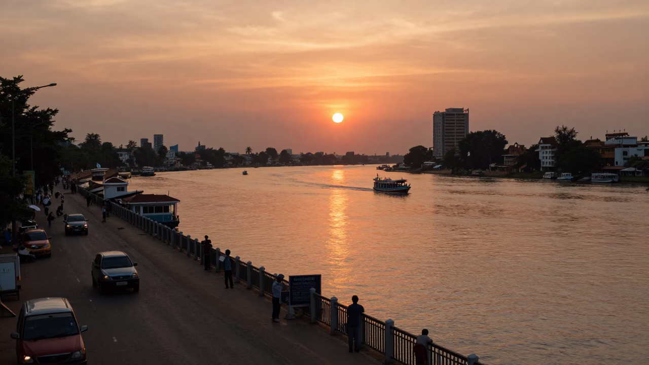
Golden Hour Rice Terraces Riverside Phnom Penh
Bamboo Footbridge Over Harvested Rice Field Bali
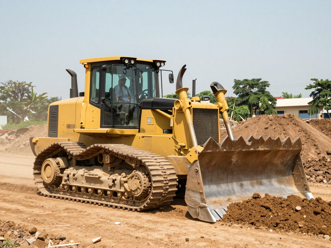
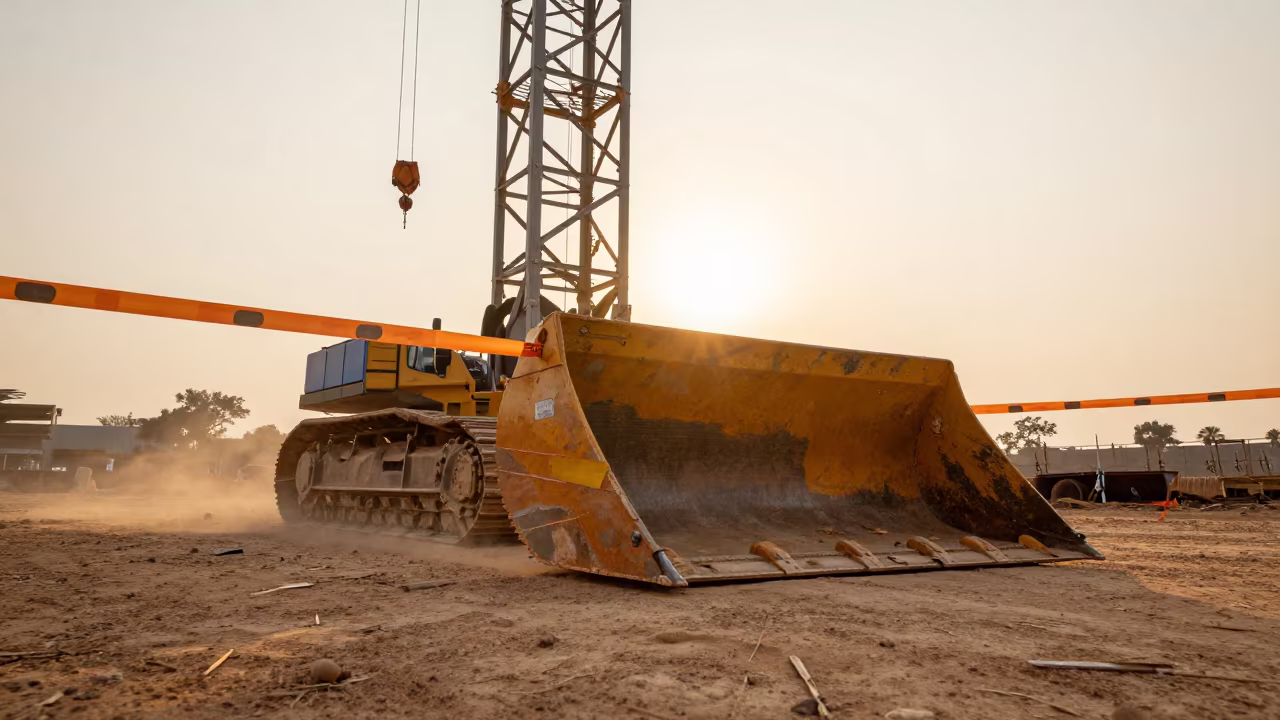
Pushing Earth at Midday Light in Phnom Penh
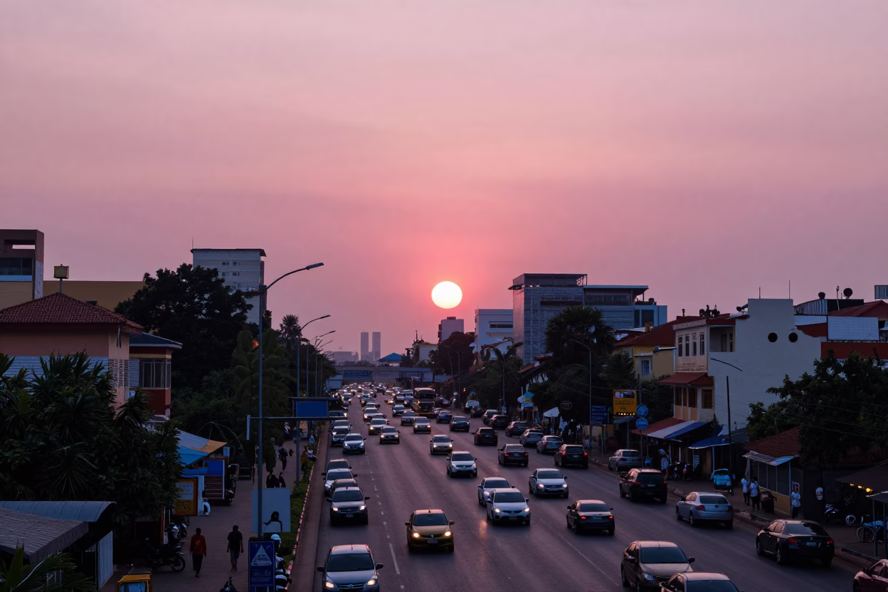
Phnom Penh Evening Highway Flyover Against Pink Horizon with Busy Street Life
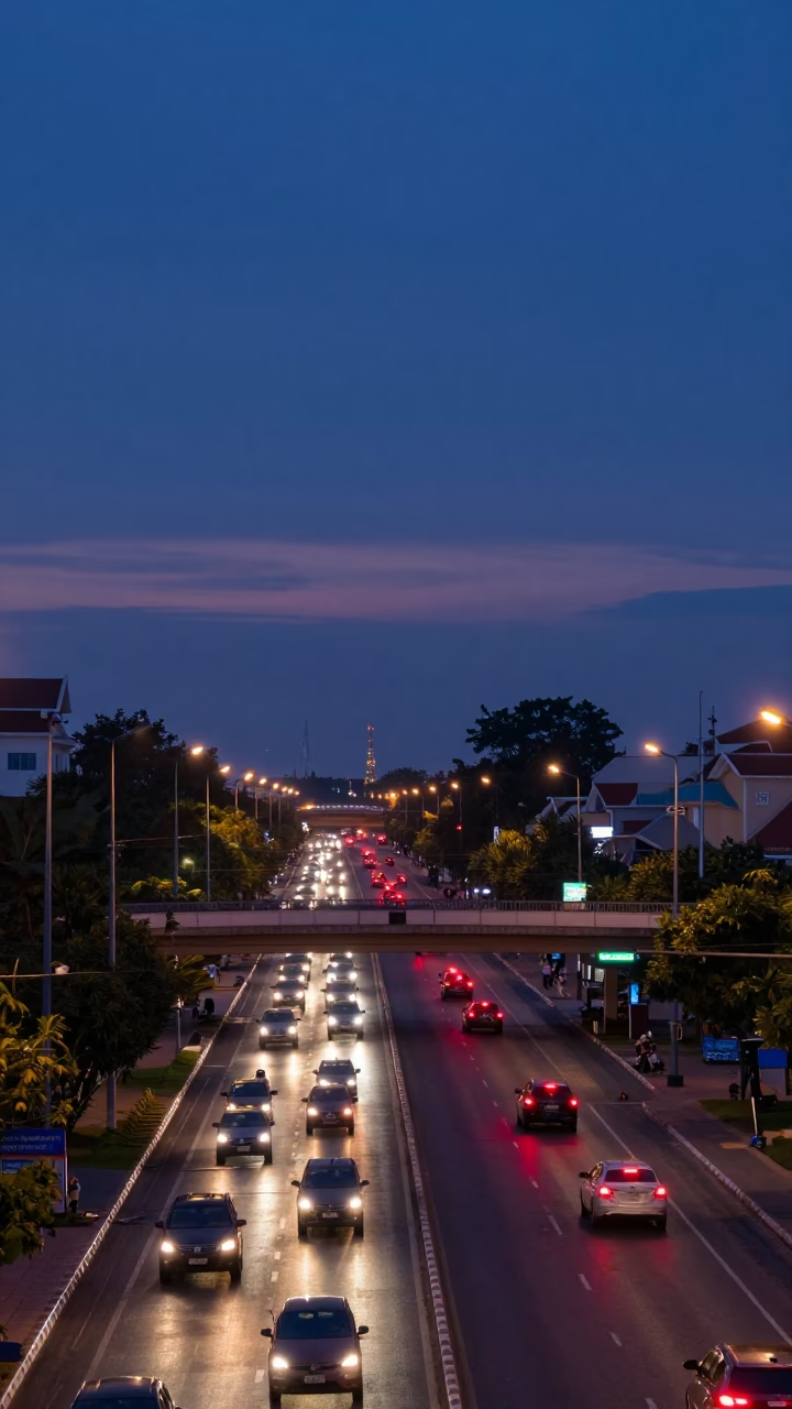
Interchange Glowing in Phnom Penh at Nautical Dawn Light
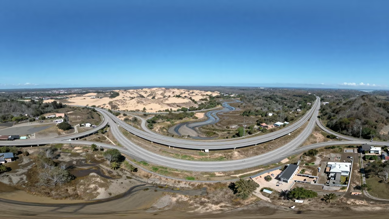
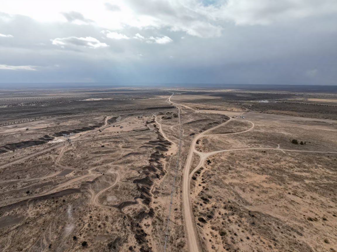
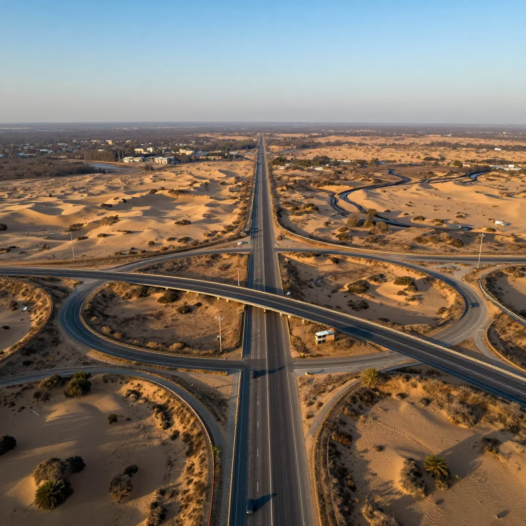
Highway Interchange Over Costa Rican Dunes
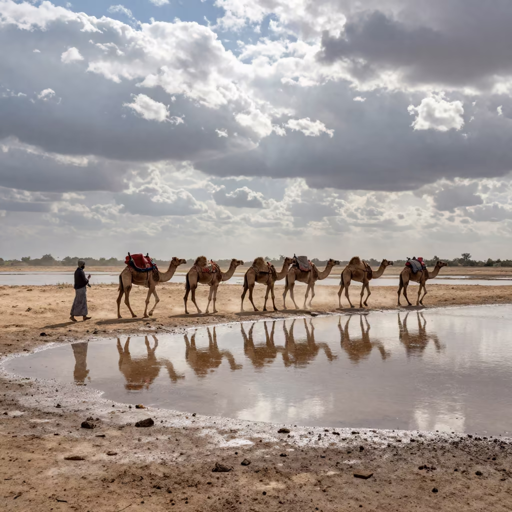
Camel Caravan on Marsh Causeway Under Stacked Clouds
Golden Hour Aerial View of Peruvian Highway Cloverleaf
Paver Bucket Under Crane at Dawn in Cambodia
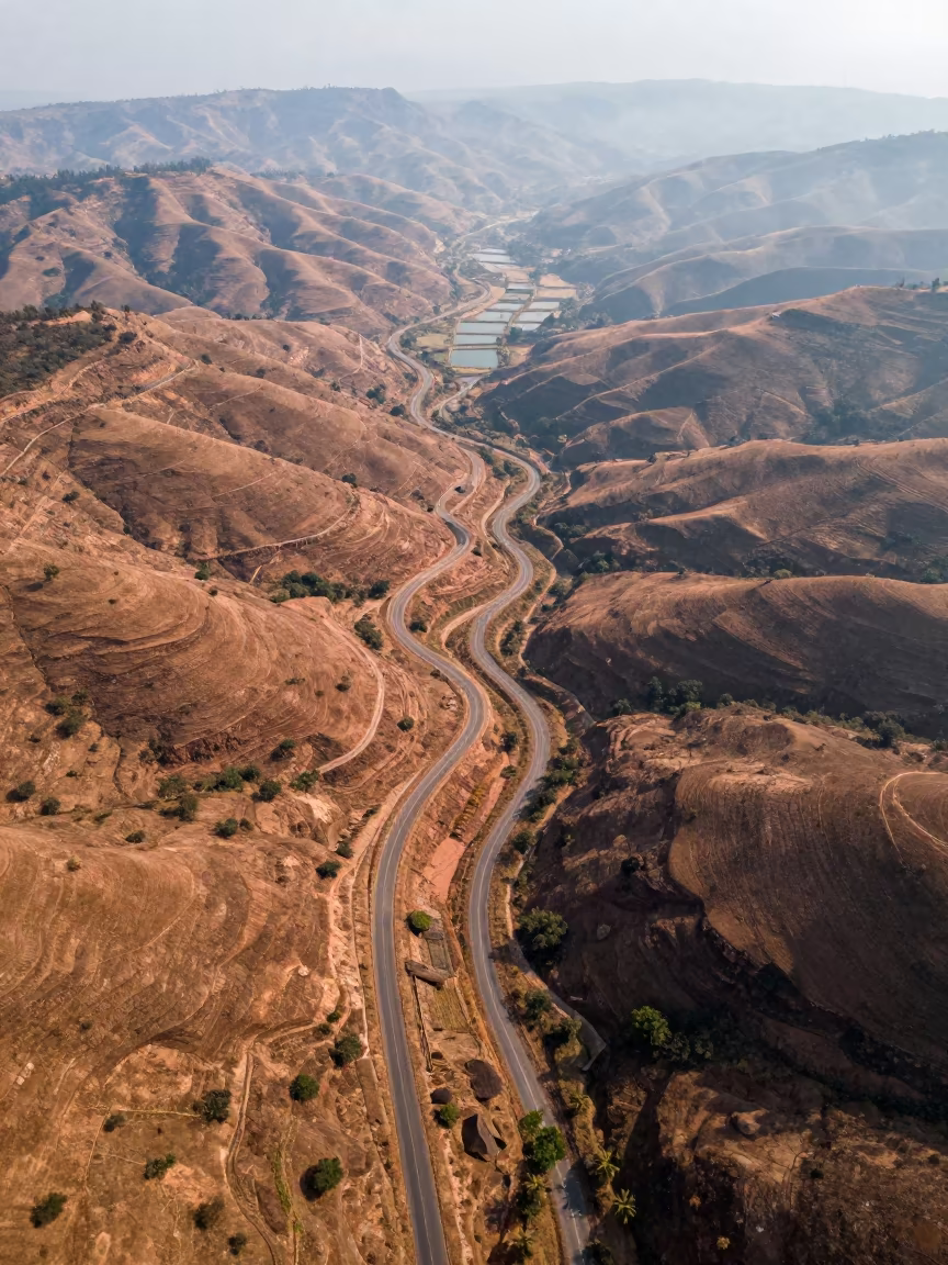
Aerial View of Copper Hills and Switchback Roads
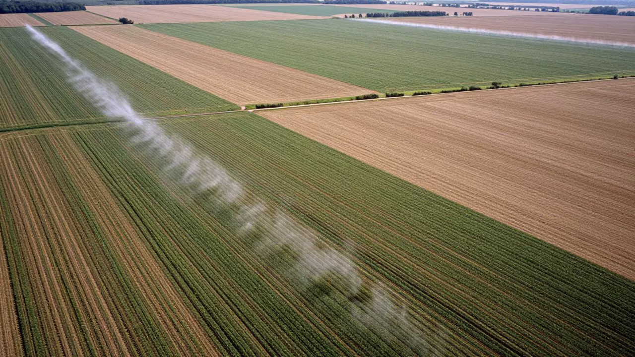
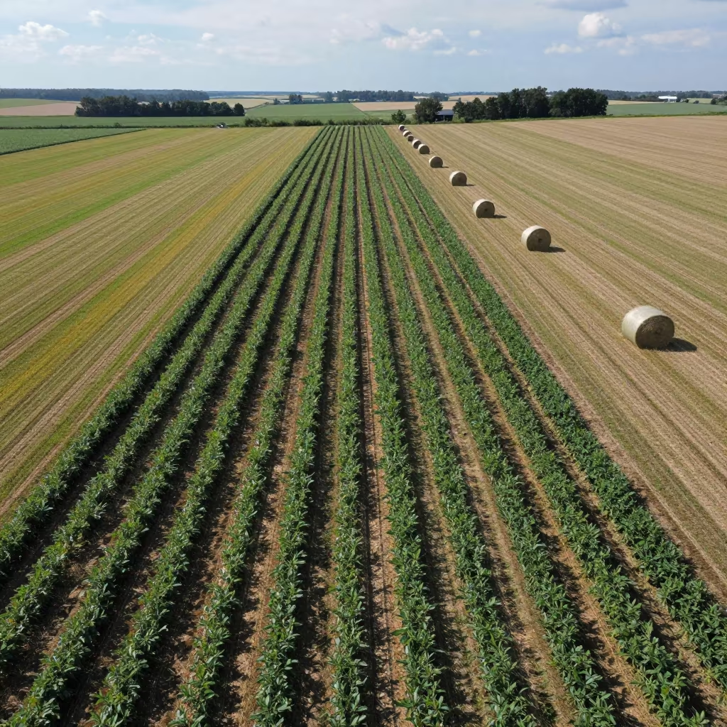
Aerial Kansas Farmland Irrigated Rows
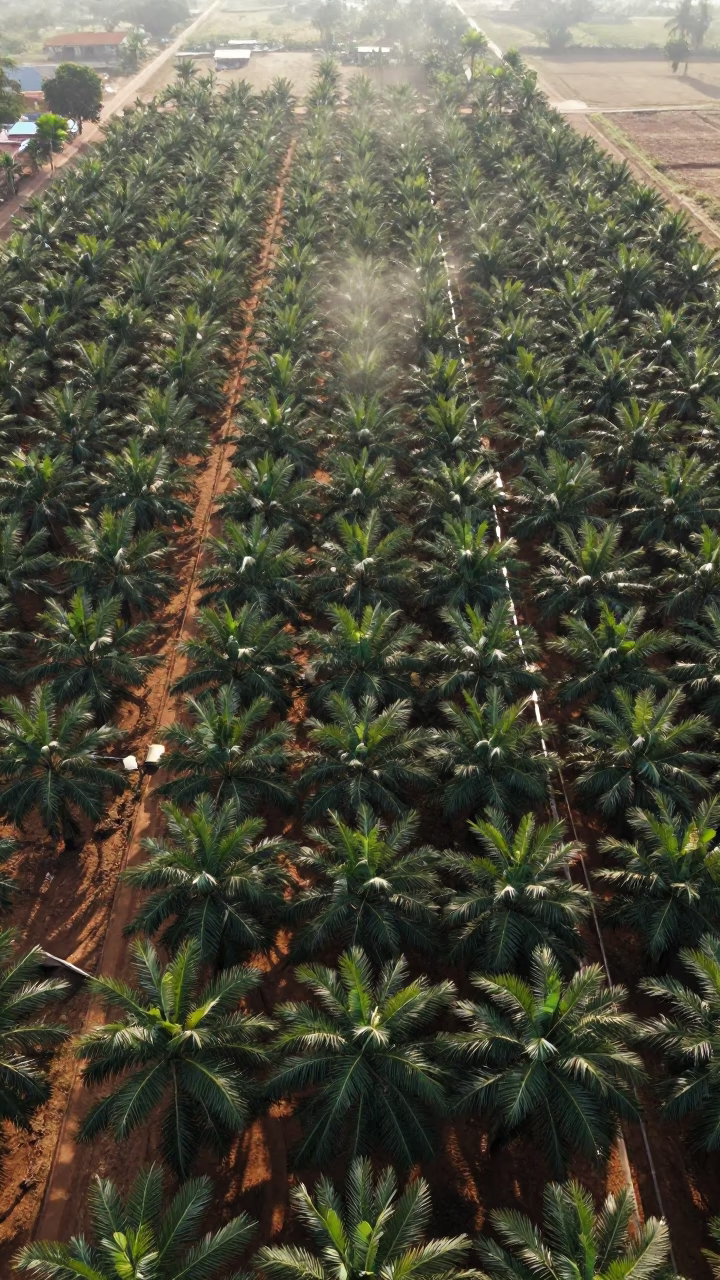
Aerial Grid of Palm Oil Plantation Rows
Busy Phnom Penh Street Scene Under Flat Noon Light with Traffic Shadows
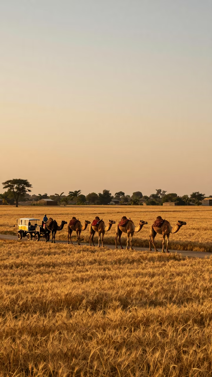
Camel Caravan Crossing Wheat Fields at Sunset
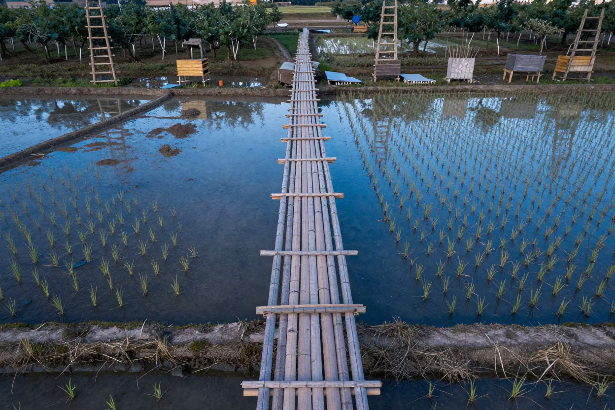
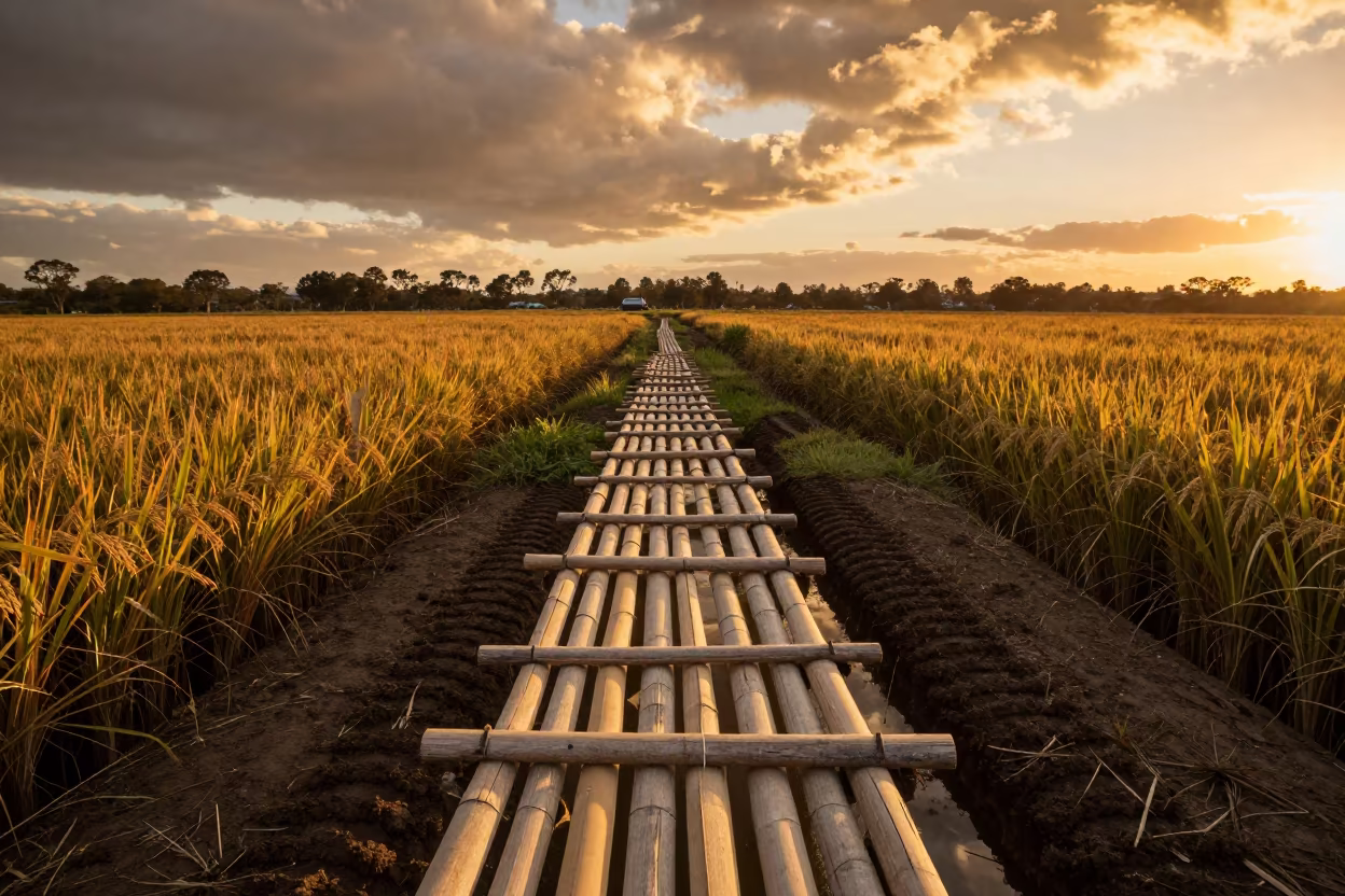
Aerial View of Bamboo Bridge Over Rice Paddies
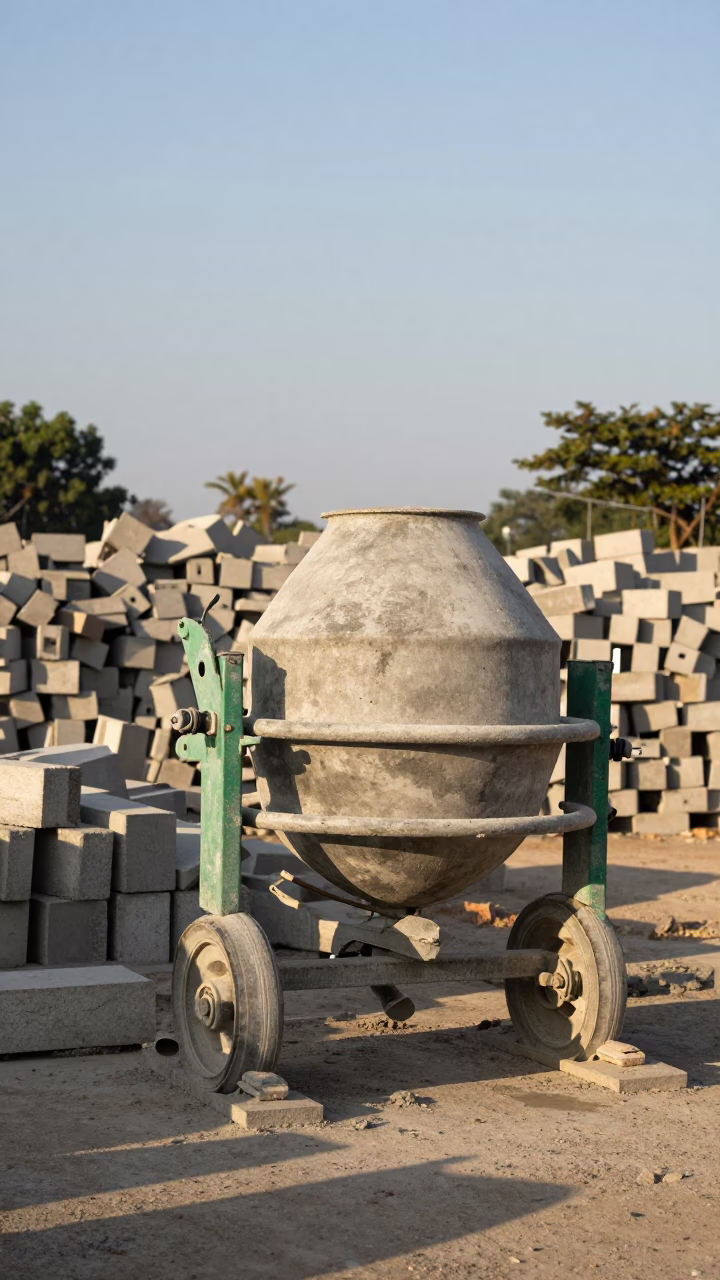
Phnom Penh Construction Site Cement Mixer in Late Afternoon Light Cambodia
Winter Desert Switchbacks Drone View Mexico
Phnom Penh Afternoon Light at Clear Late-afternoon Light
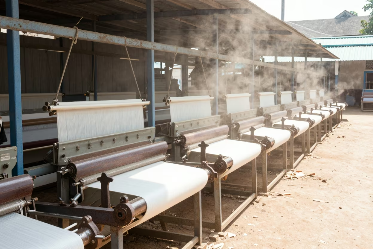
Loom Row in Dry Dust Light at Vientiane Rail Yard
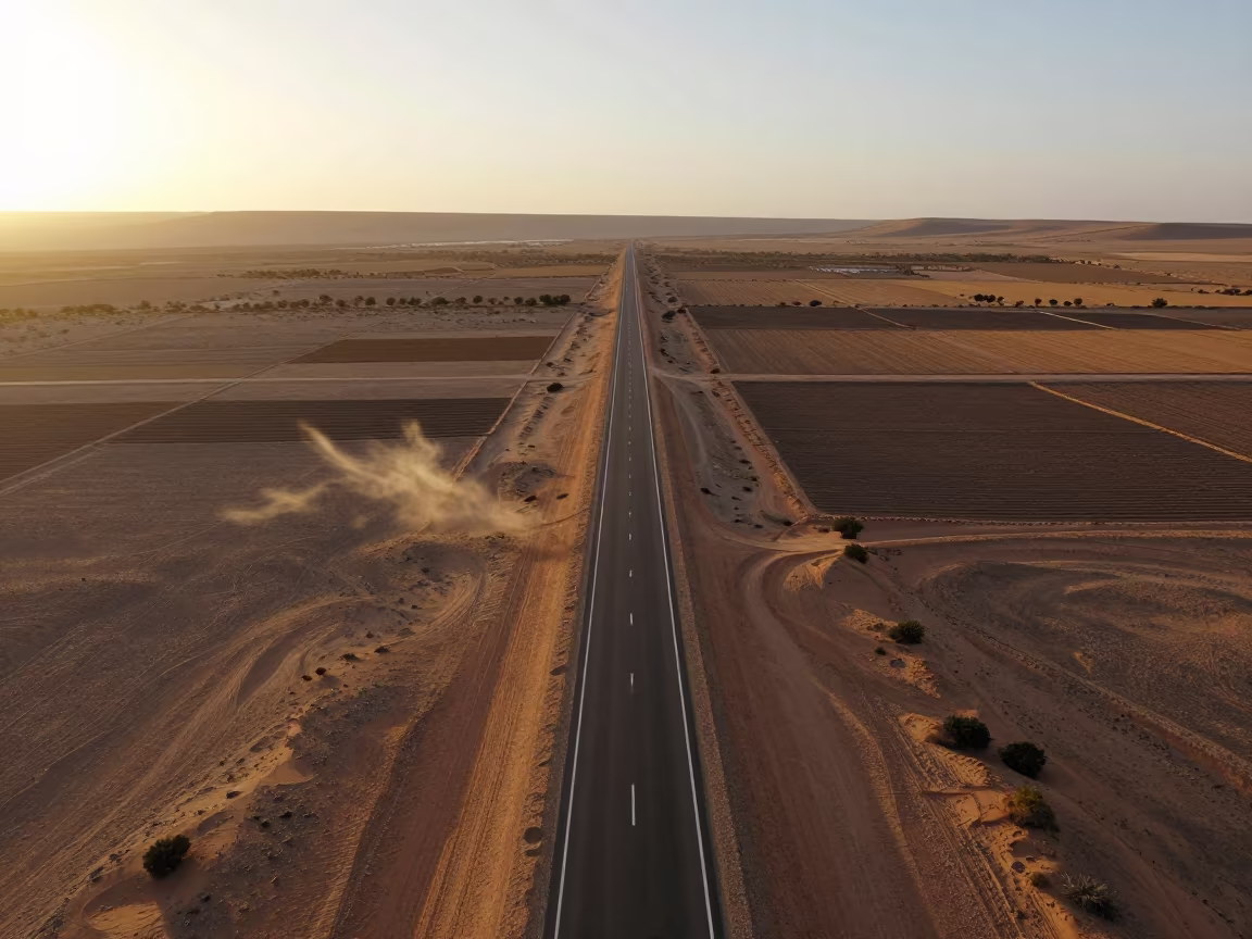
Aerial View of Straight Desert Highway Morocco
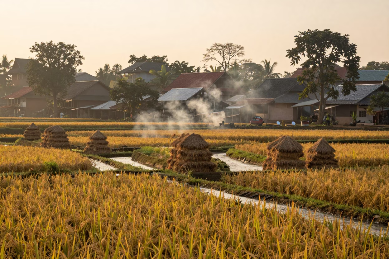
Rice Terrace Village Morning Smoke Phnom Penh
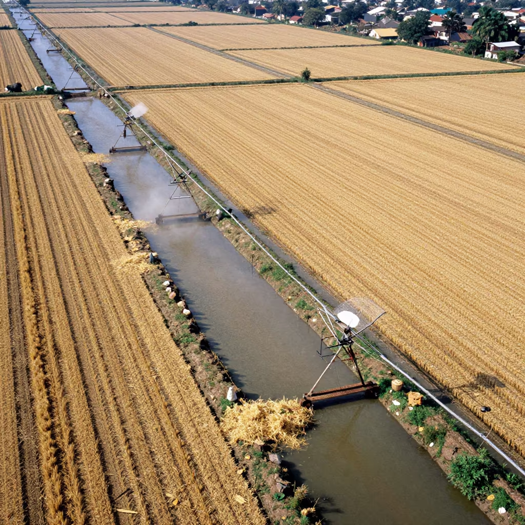
Aerial View of Irrigation Canals in Jashore
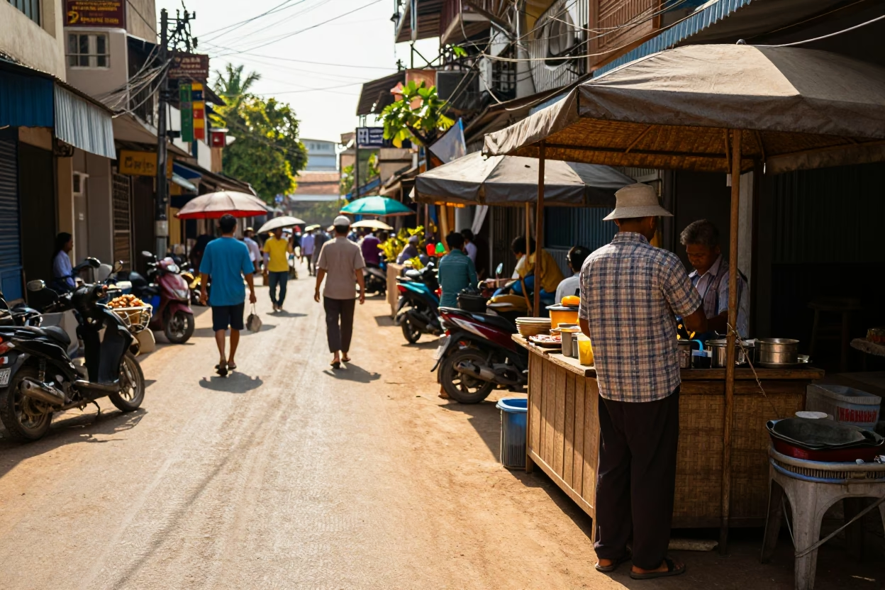
Sunlit Phnom Penh Street Scene with Woven Cane Texture and Local Commerce
Aerial View of Cloverleaf Highway Near Dunes
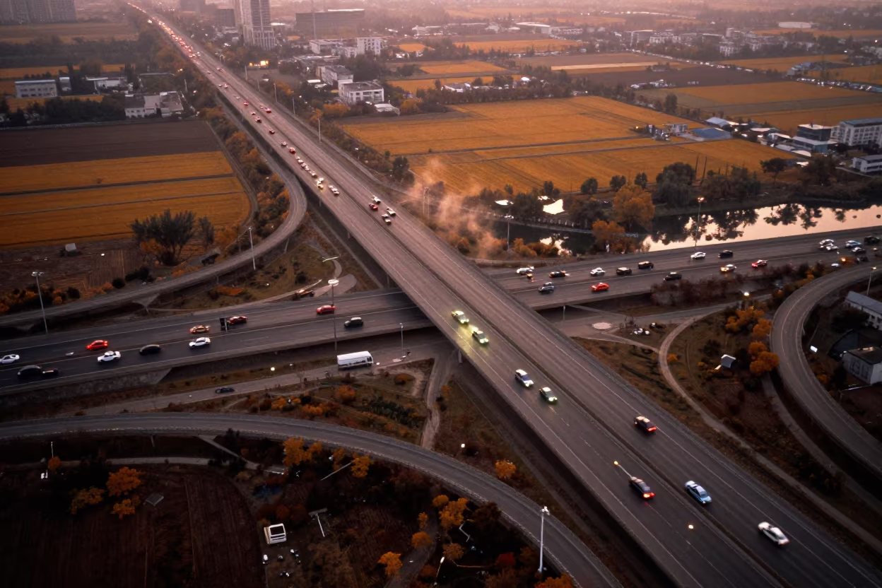
Zhengzhou Freeway Interchange Autumn Aerial
Golden Hour Street Scene in Phnom Penh Cambodia with Bridge Maintenance and River Traffic
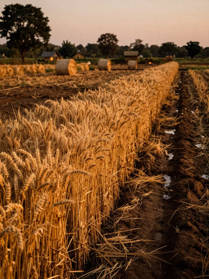
Golden Wheat Stalks Before Harvest in Cambodia
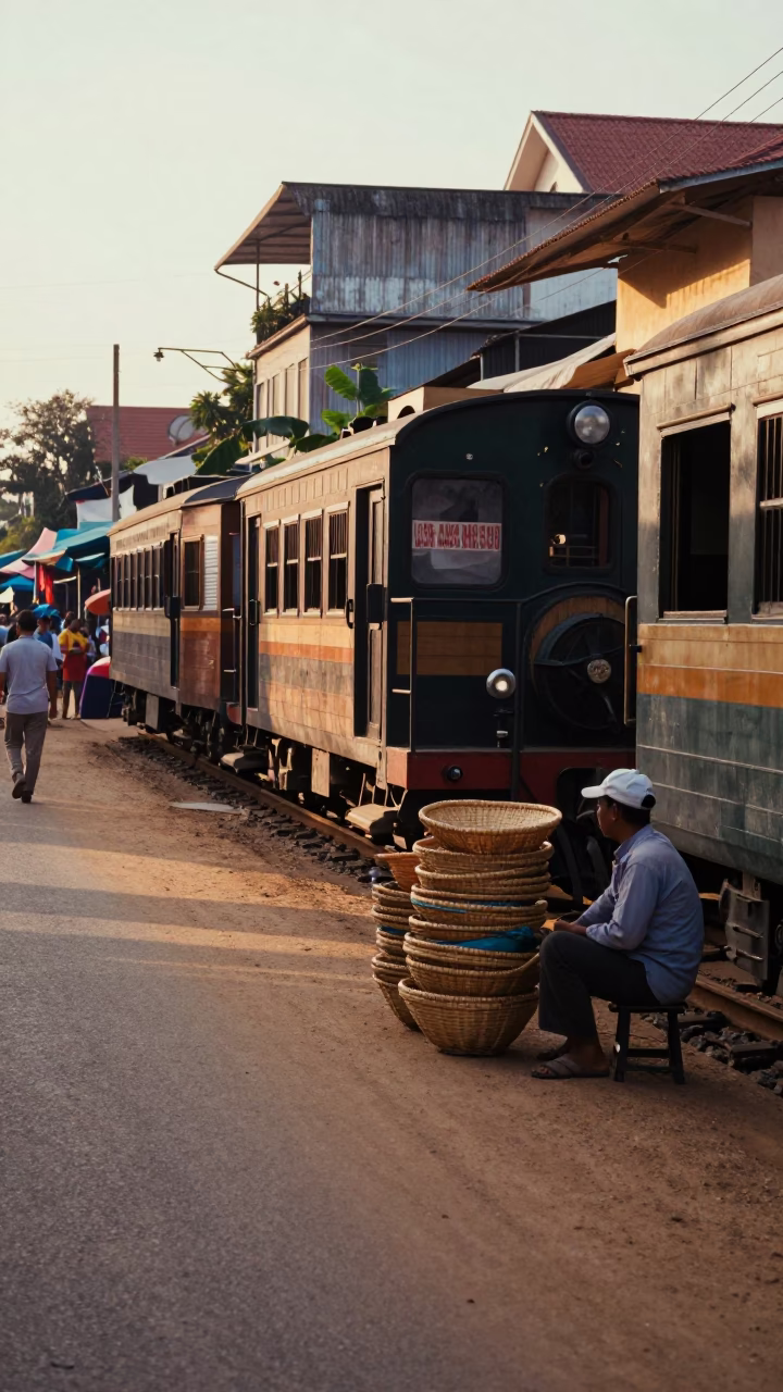
Late Afternoon Street Scene in Phnom Penh Cambodia with Narrow Gauge Train
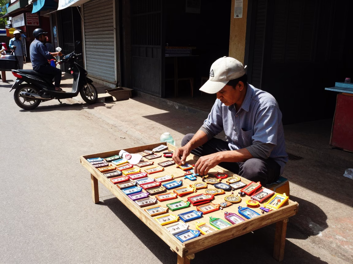
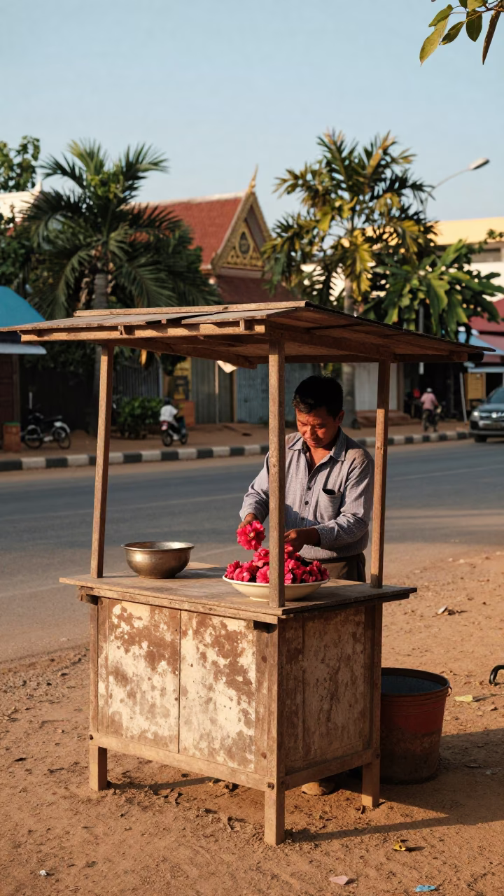
Amulet Vendor Display Under Flat Noon Light in Phnom Penh Cambodia Street Scene
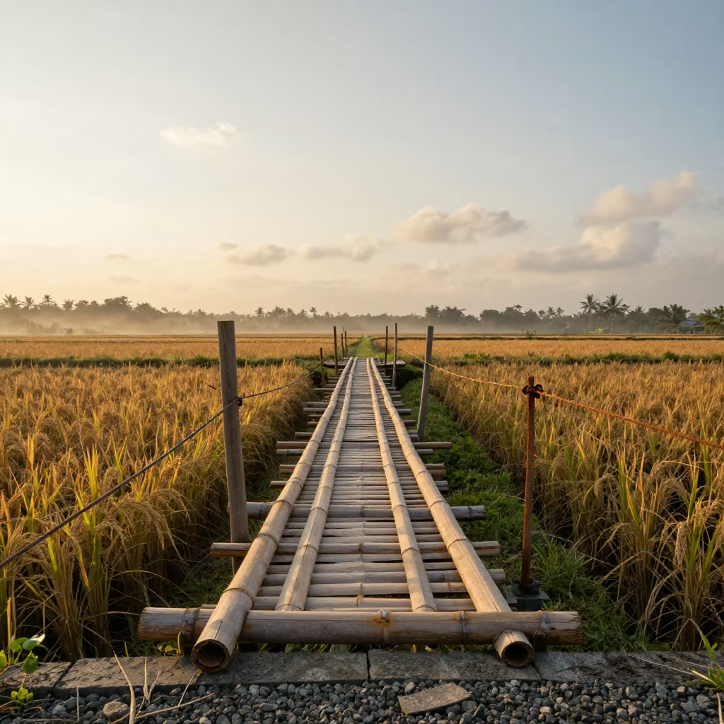
Bamboo Footbridge Over Rice Canal at Golden Hour
Kansas Farm Aerial Quilt Midmorning Light
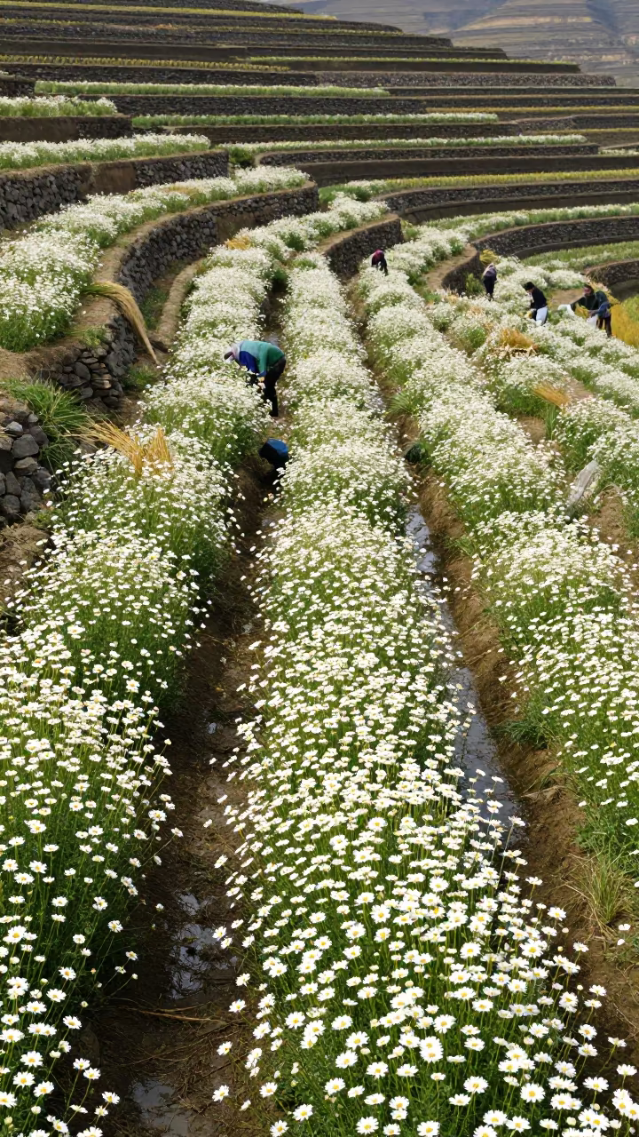
Chamomile Harvest Among Terraced Rice Paddies
Comments