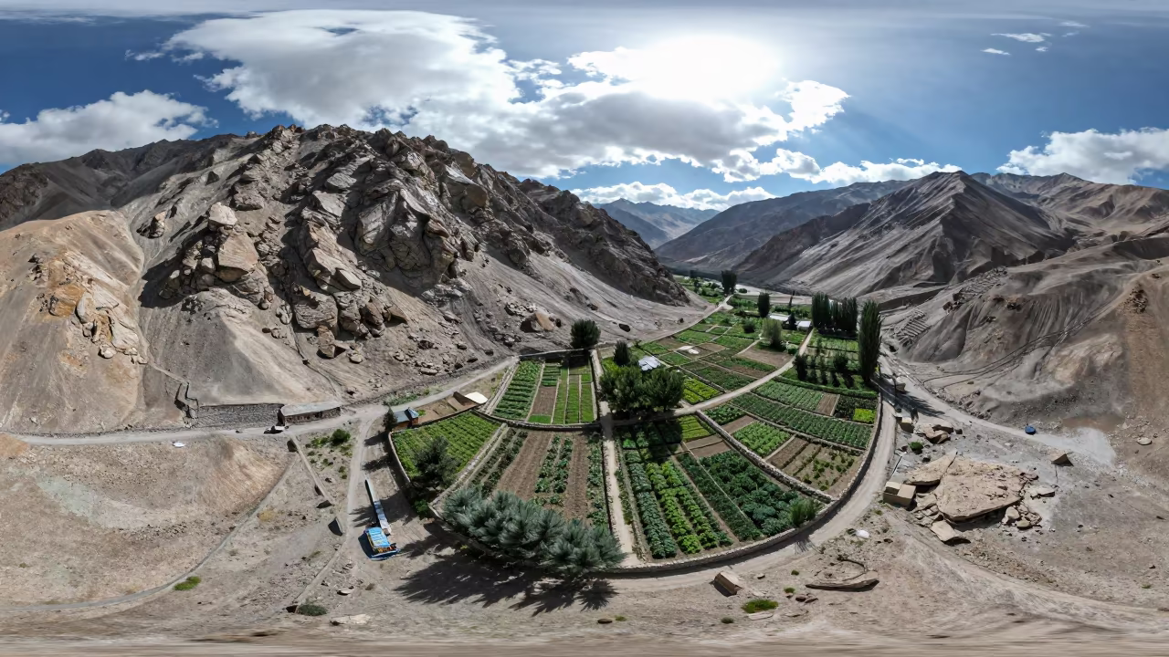
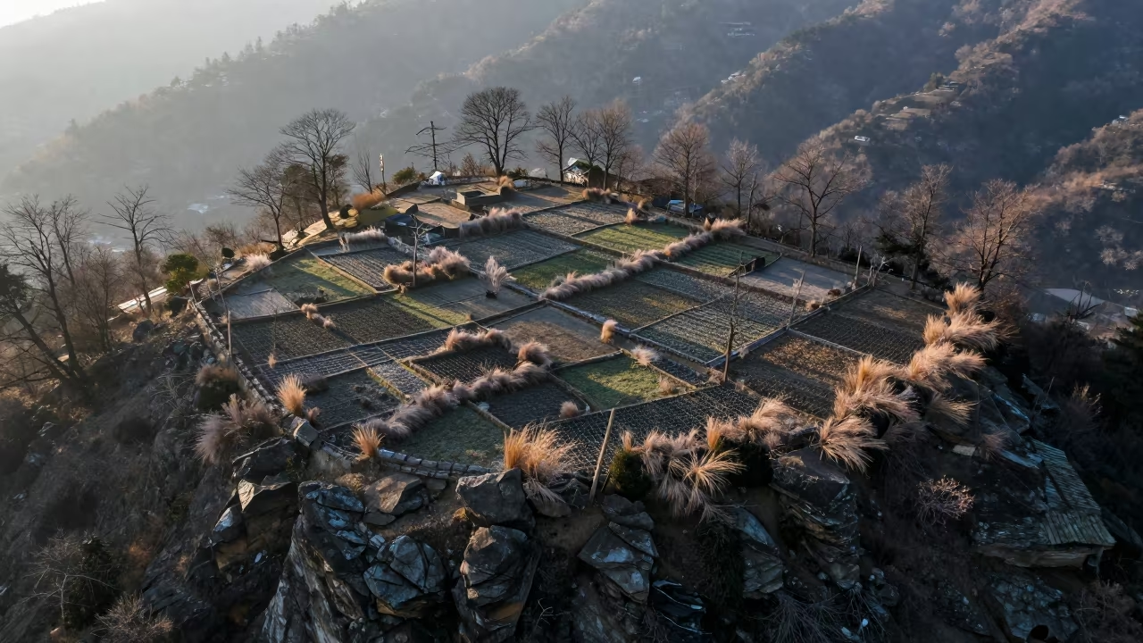
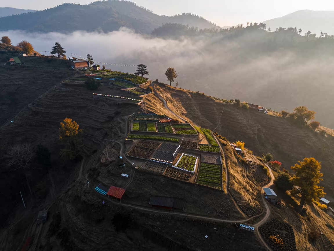
Leh Valley Allotment Gardens Aerial Map View
by Erika Cohen
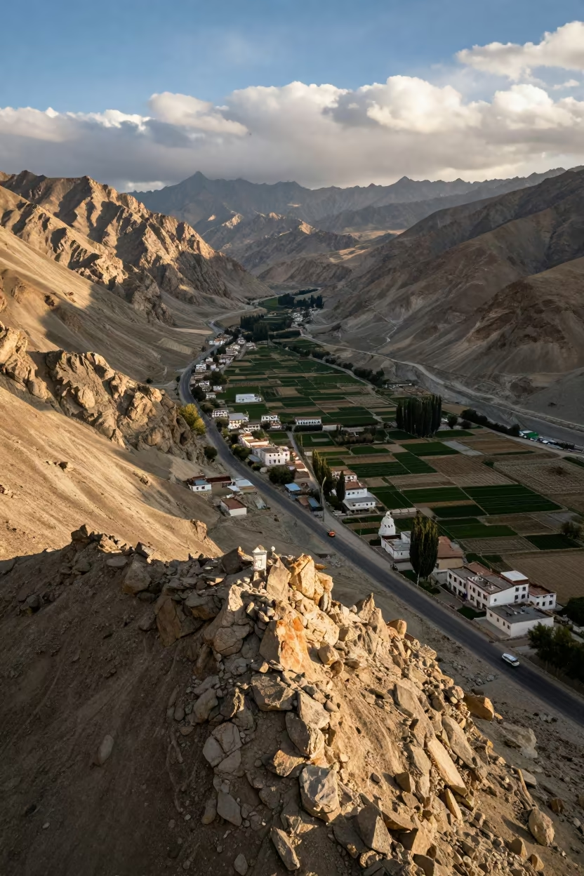
Low morning sun floods a rocky saddle near Leh, casting elongated shadows that stretch across a geometric patchwork of allotment gardens. The scene resembles a topographic map where vibrant green plots rest against the rust-colored, arid earth of the mountain valley. Dry stone walls define the boundaries of each cultivated square, while sparse shrubs dot the surrounding high-altitude terrain. Dramatic, billowing clouds hover overhead, casting shifting patches of darkness across the fields. The textures range from the smooth, tilled soil of the gardens to the rough, weathered rock of the saddle. A faint dust trail winds along a narrow path at the edge of the frame, marking the transition between the cultivated land and the wild, undulating landscape below.
Free to download. CDN hosting requires a link back to this page. Terms
Similar Images
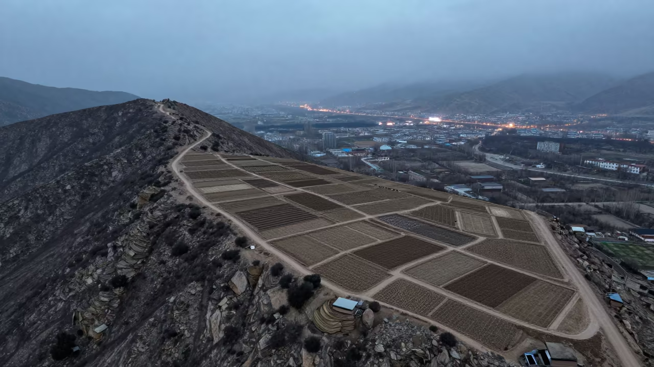
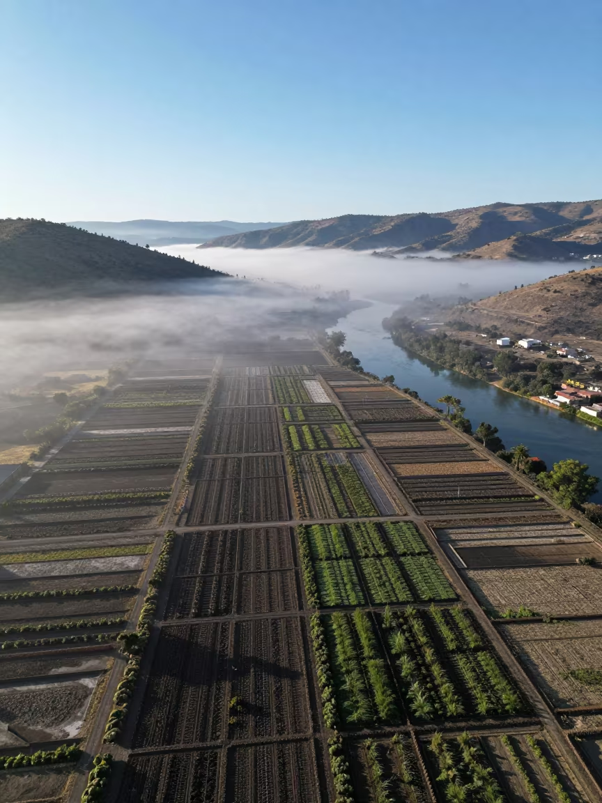
Aerial View of Lhasa Allotments in Steel Blue Mist
Leh Mountain Pass Rooftops Aerial View
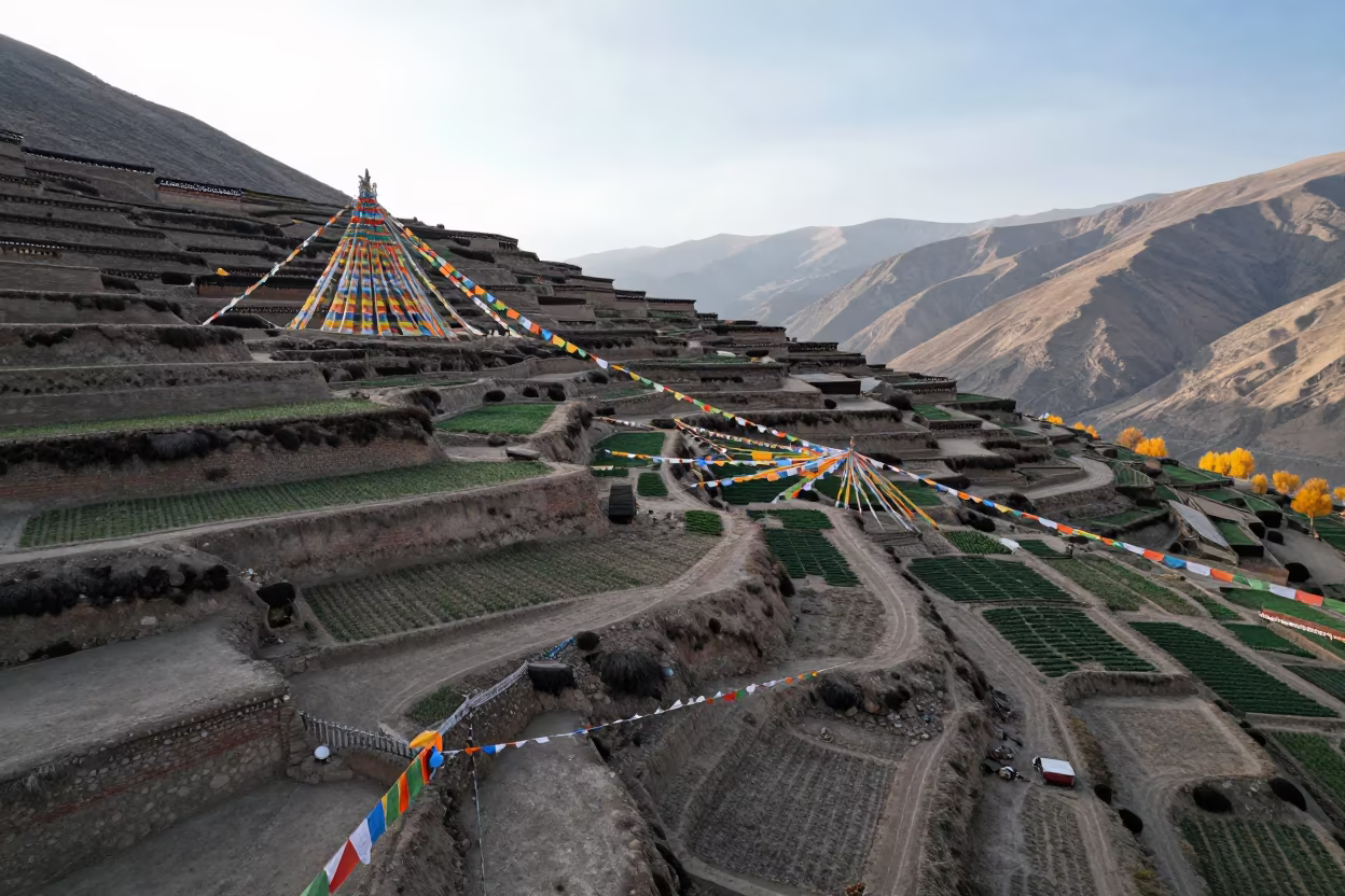
Aerial View of Lhasa Allotment Gardens on Ridge

Aerial View of Pali Allotment Gardens in Low Sun
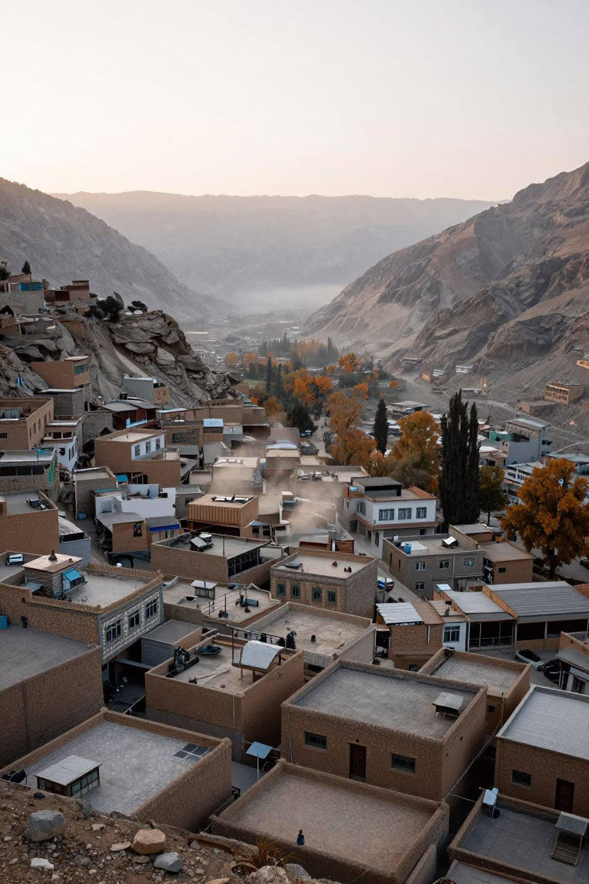
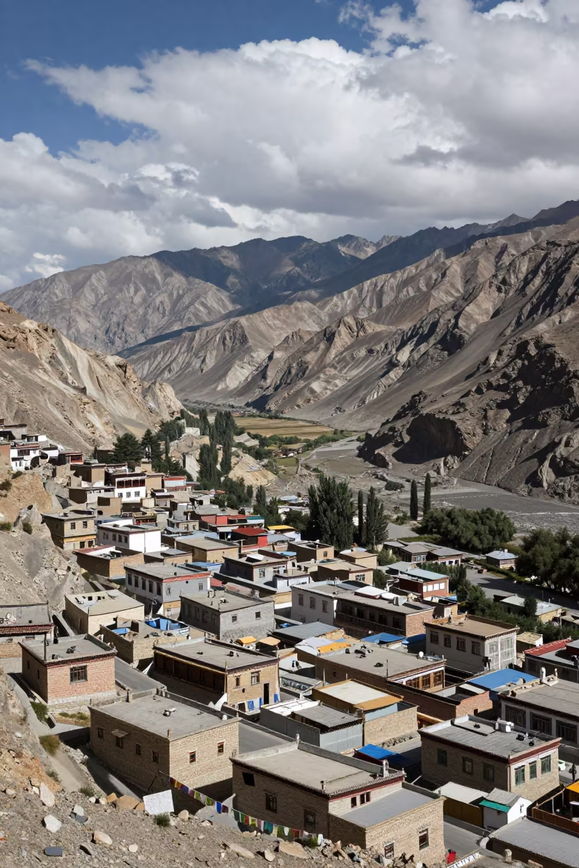
Aerial View of Leh Rooftops at Dawn
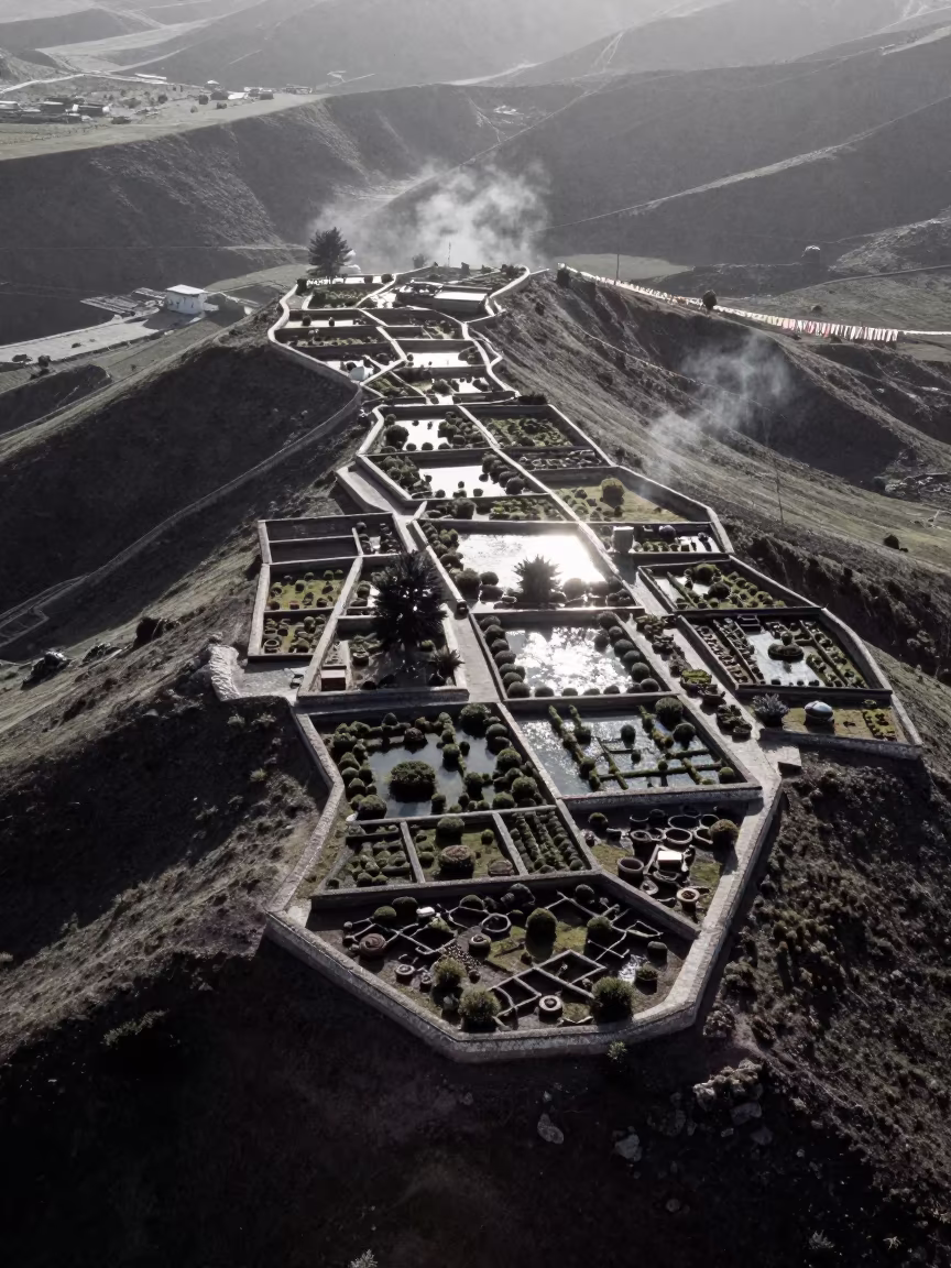
Aerial View of Lhasa Mountain Gardens
Aerial View of Indonesian Allotment Gardens
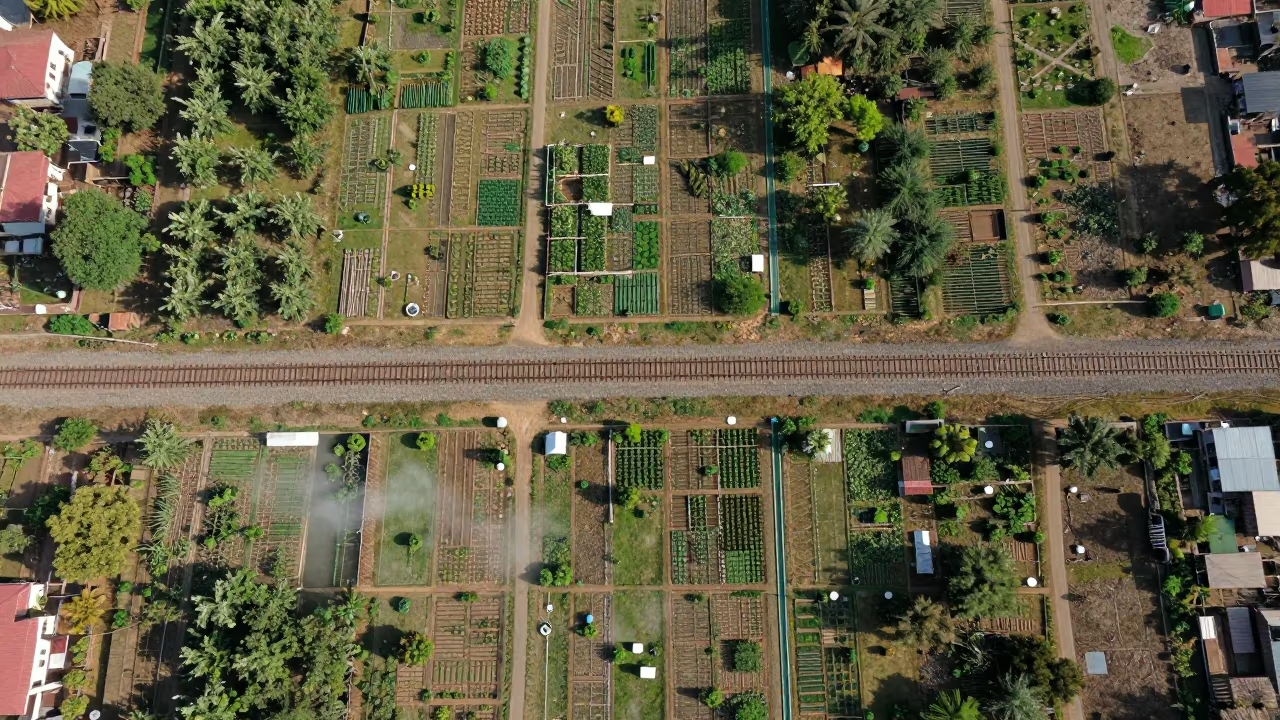
Aerial View of Rajkot Allotments and Sidings
Winter Dawn Over Shimla Allotment Gardens
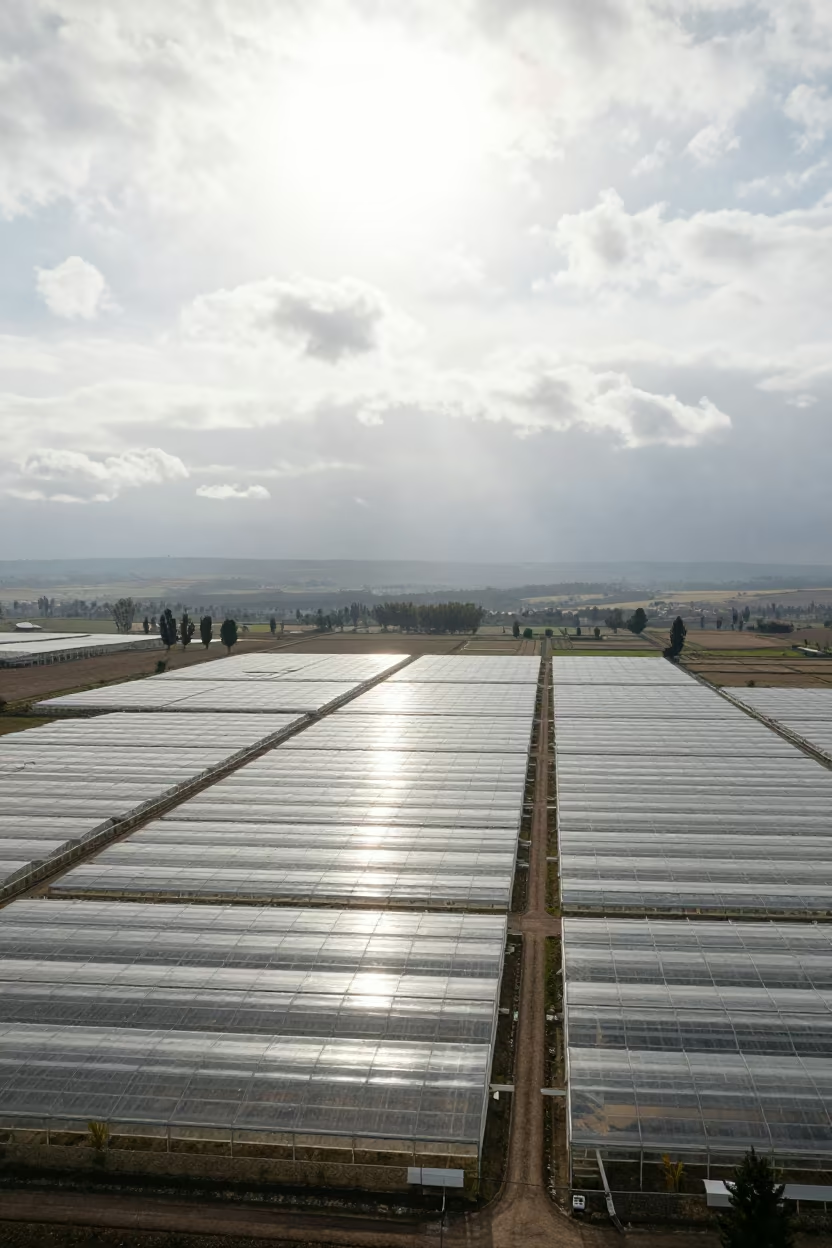
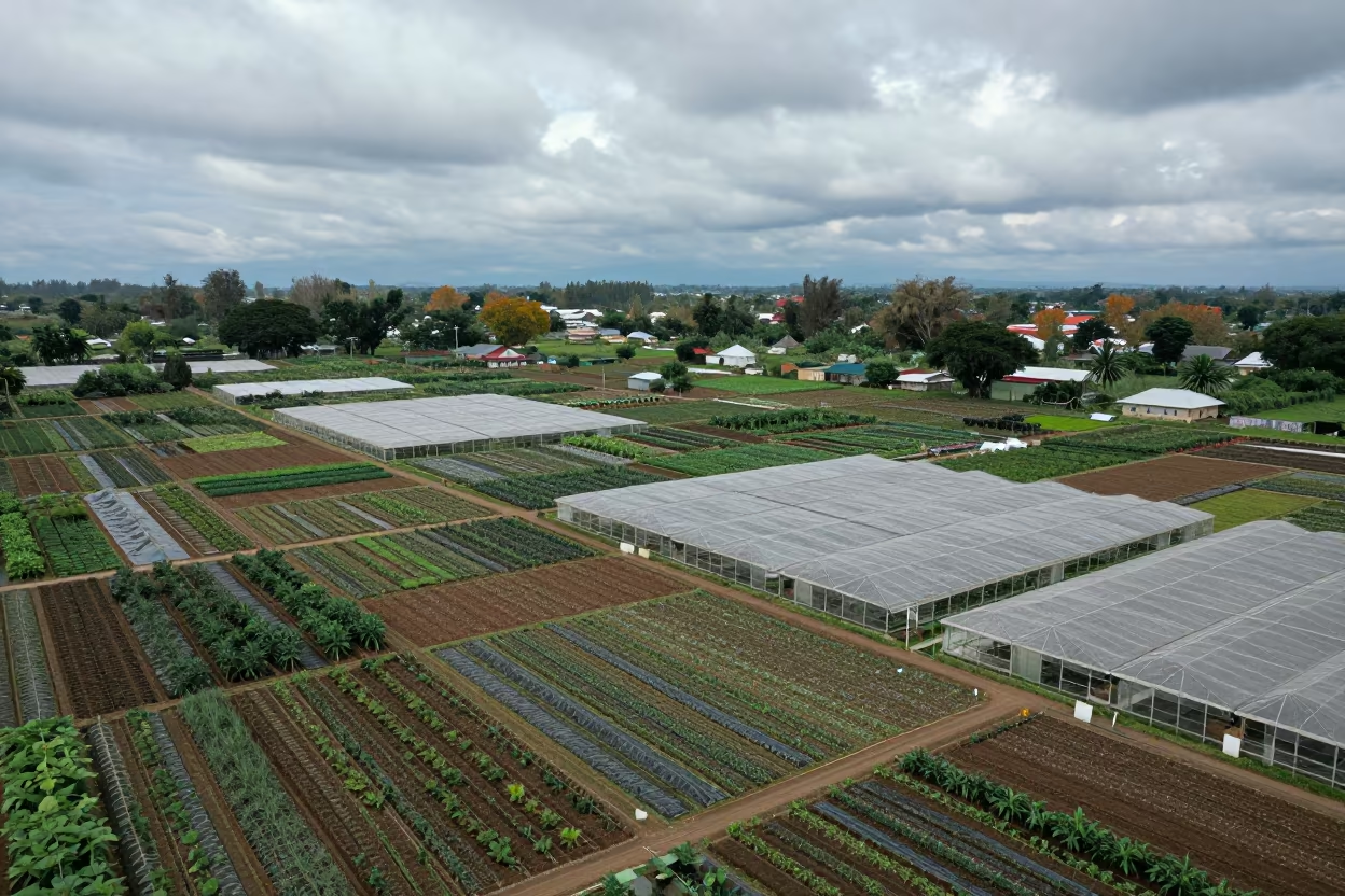
Aerial View of Lesotho Greenhouse Grids Noon

Aerial Barge Wakes Rocky Mountain Saddle Leh Valley

Dawn Shadows Over Kathmandu Allotment Gardens

Golden Hour Sea of Clouds Leh Mountain Summit
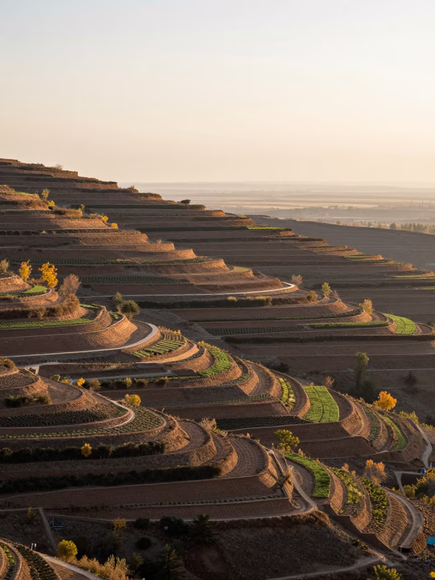
Castile Allotment Gardens Aerial Late Autumn Dawn
Aerial View of Autumn Allotment Gardens Near Namangan

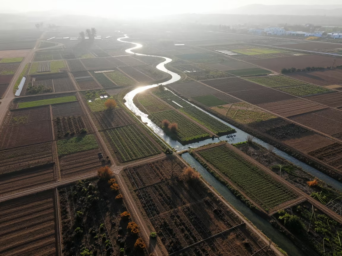
Allotment Gardens Patchwork Aerial View

Barge Wakes High Altitude Mountain Valley Leh

Botanist Pressing Alpine Flowers Near Leh
Aerial view of rain-soaked allotment plots near Guadalajara

Allotment Gardens Aerial View at Dusk
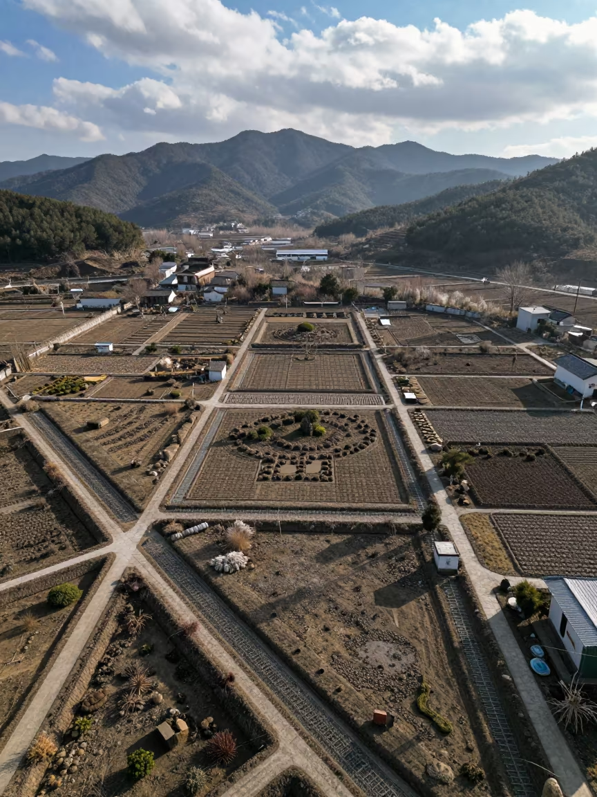
Aerial Winter Garden Irrigation Patterns Zhejiang
Aerial view of autumn allotment gardens

Cloud Sea View from Leh Mountain Pass Under Noon Sun

Harbin Allotment Gardens in Late Autumn Sun Shower
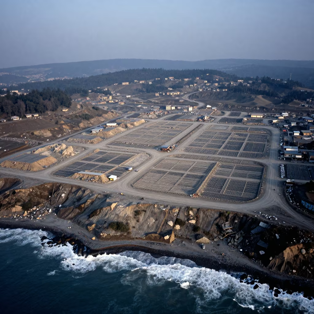
Aerial Geometric Landfill Cells in Sikkim Dawn
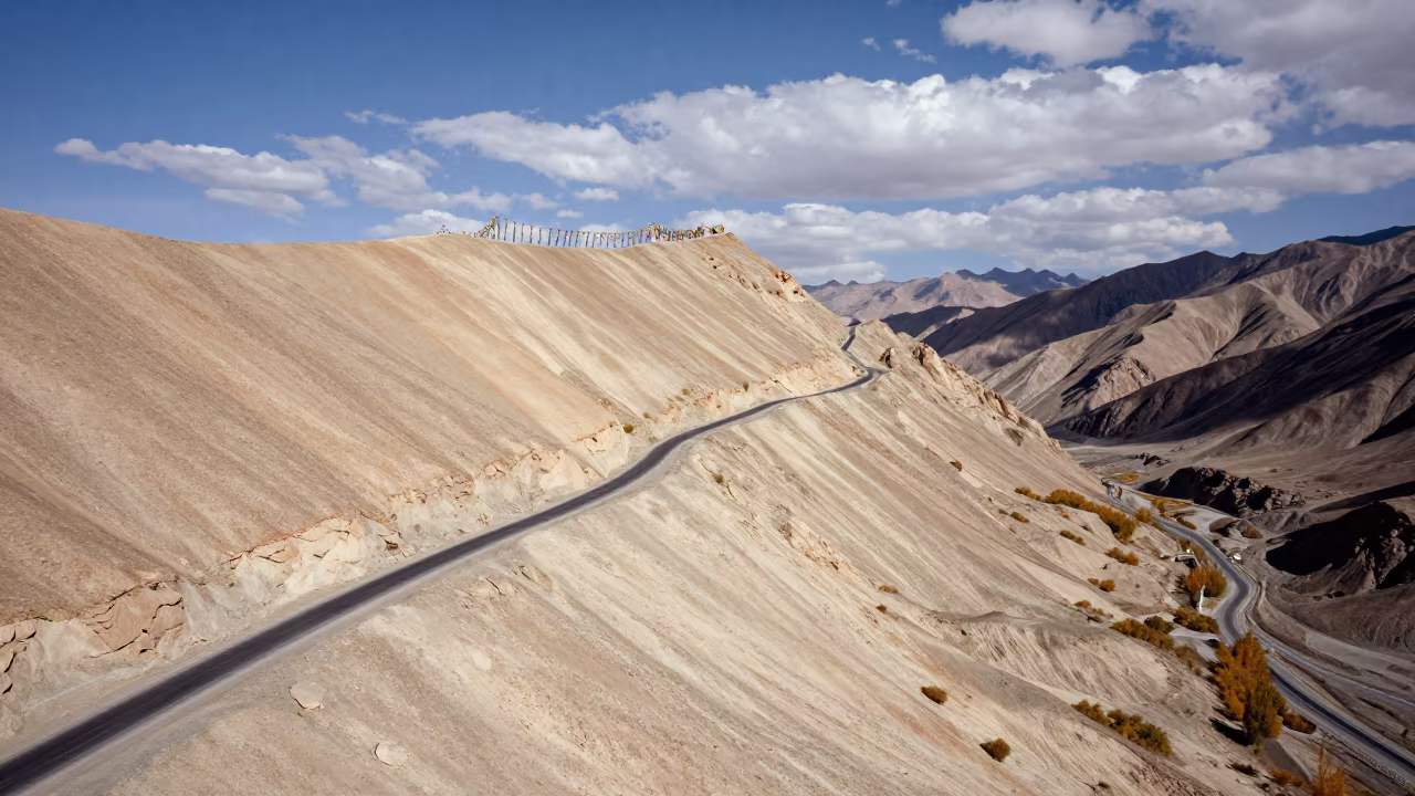
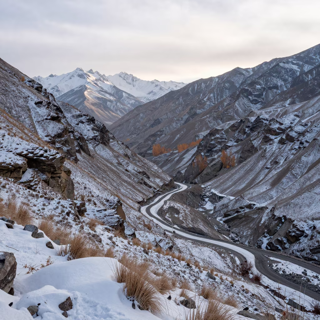
Aerial Desert Switchbacks Leh Ridge Autumn
Aerial View of Autumn Allotment Gardens Near Coast
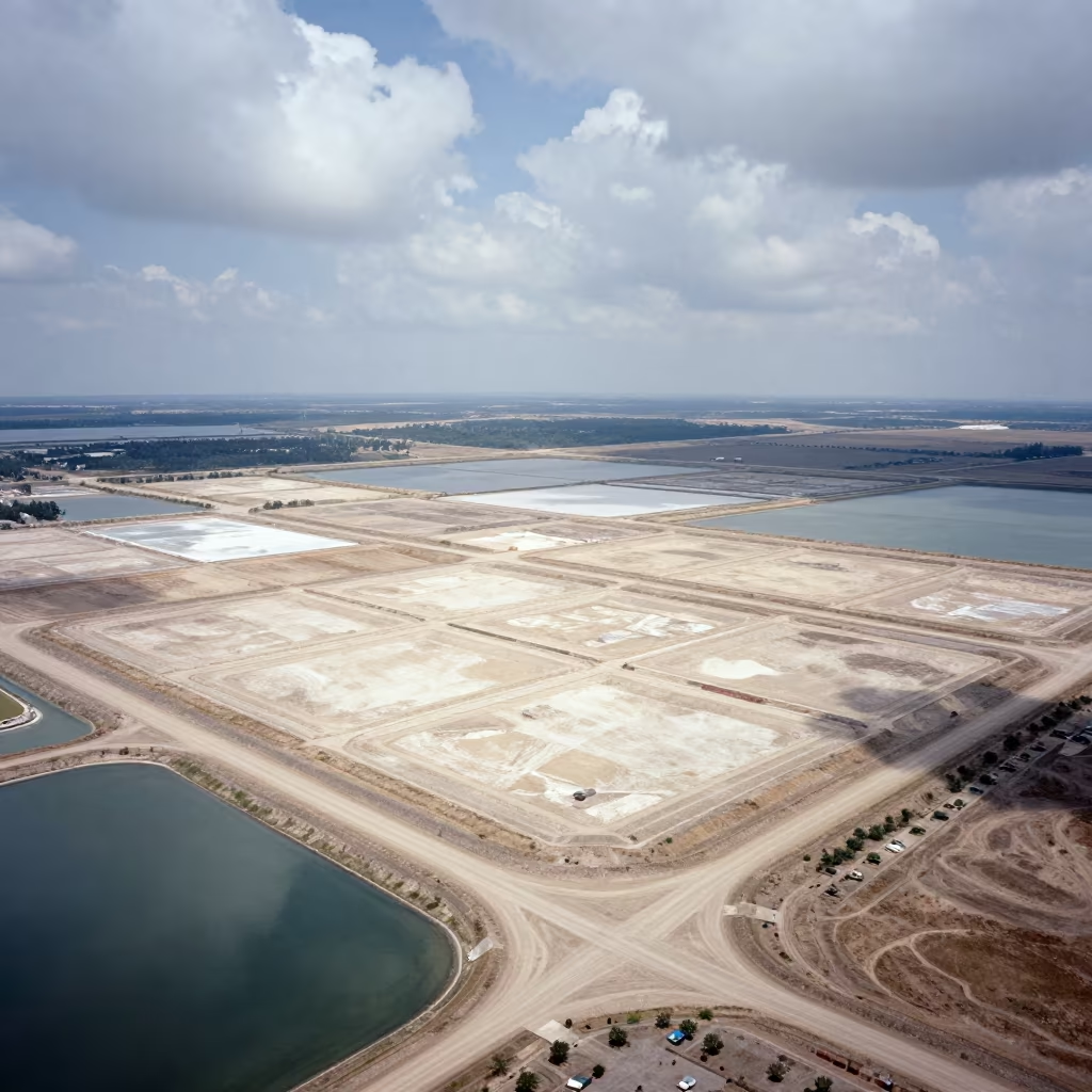
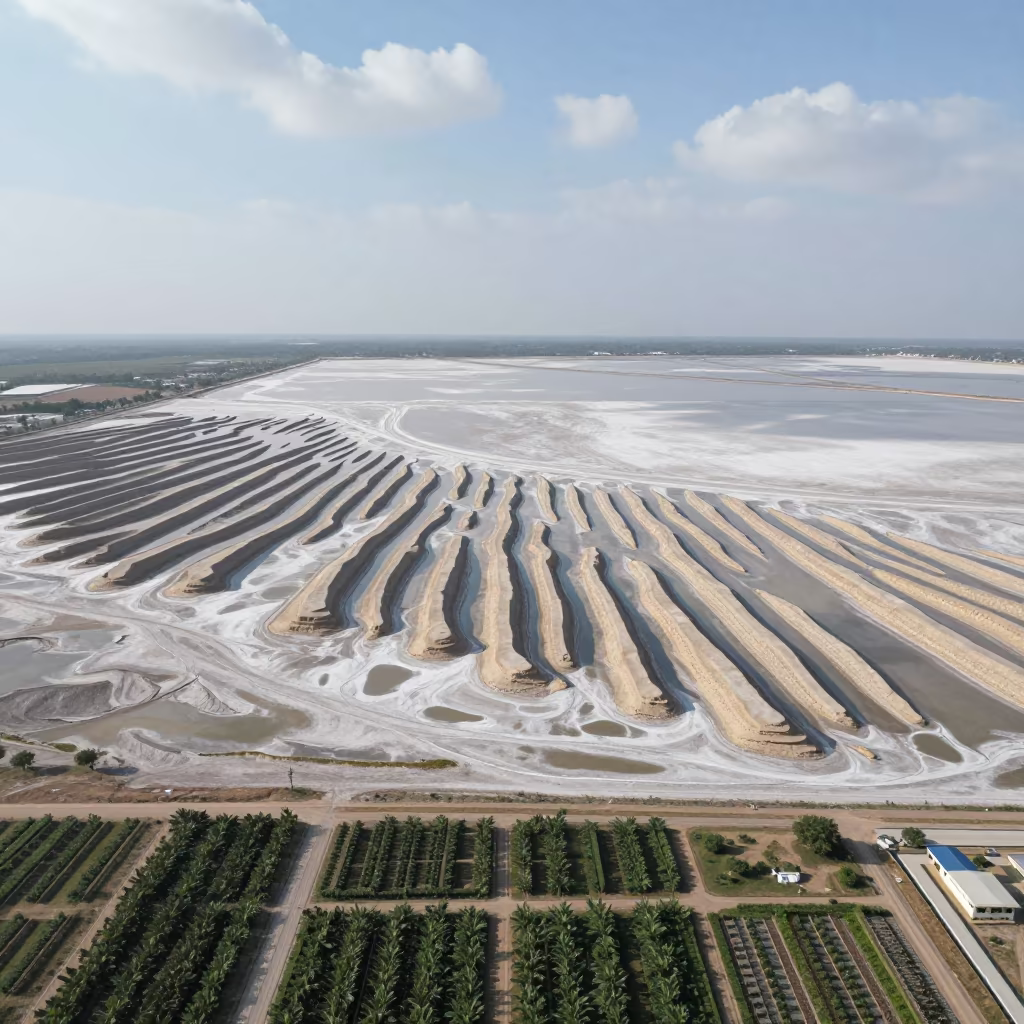
Aerial View of Geometric Landfill Cells Near Salt Ponds
Honeyed Ridge Above Mist Over Leh Shoreline
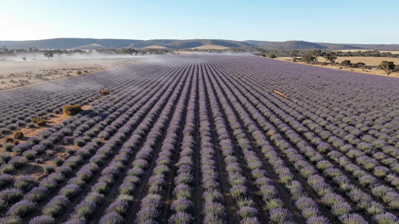
Lavender Rows Aerial View Australia Mountain Morning

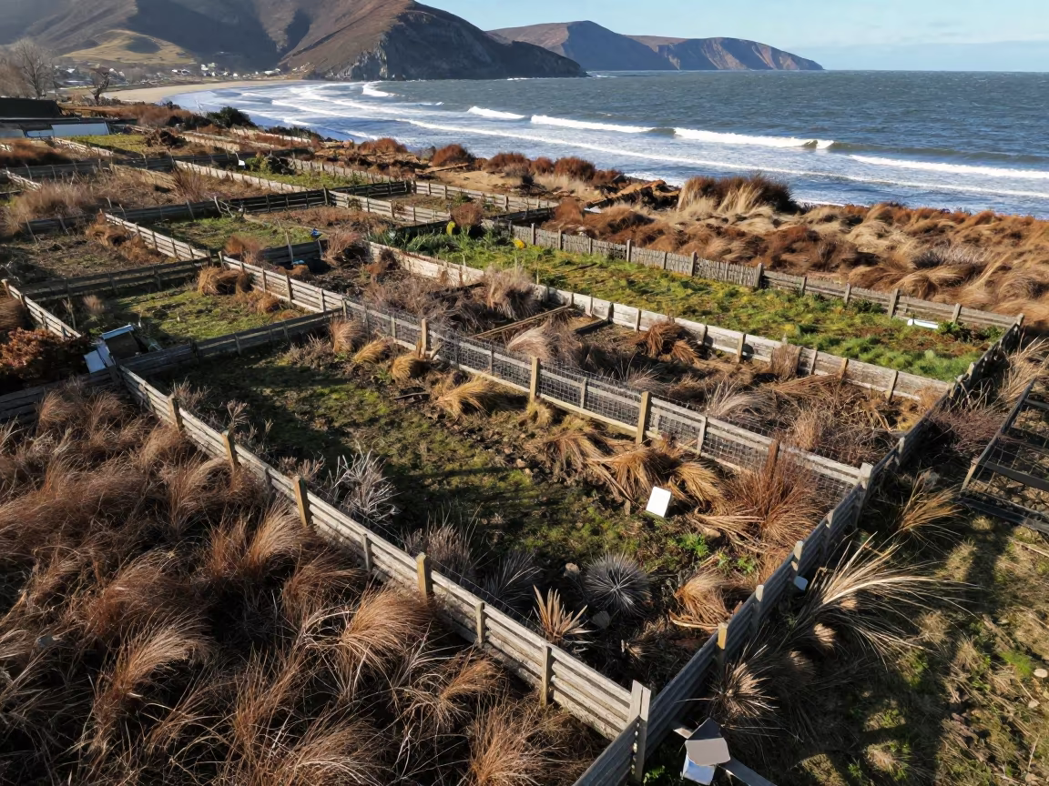
Rhode Island Allotment Plots Dawn Fog Aerial View

Aerial Lavender Fields India Rainy Season
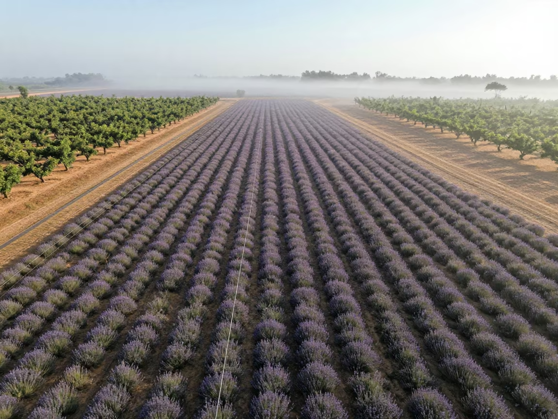
Aerial Lavender Fields Geometric Rows Mist
High Altitude Causeway Traffic Over Leh Valley

Aerial View of Sikkim Cemetery in Copper Dusk Light
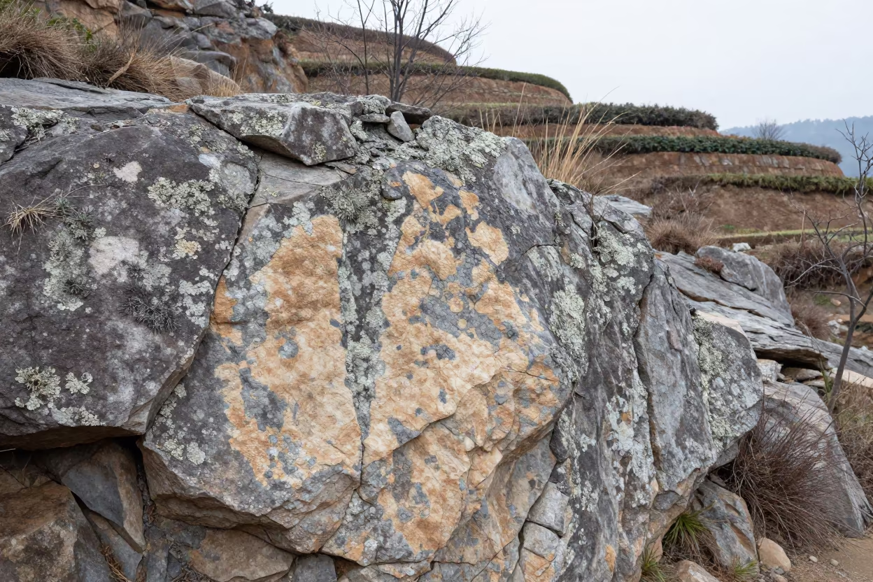
Map Lichen on Rock Face Nagaland Terraced Garden
Wind Sculpted Yardangs Aerial Salt Flat View
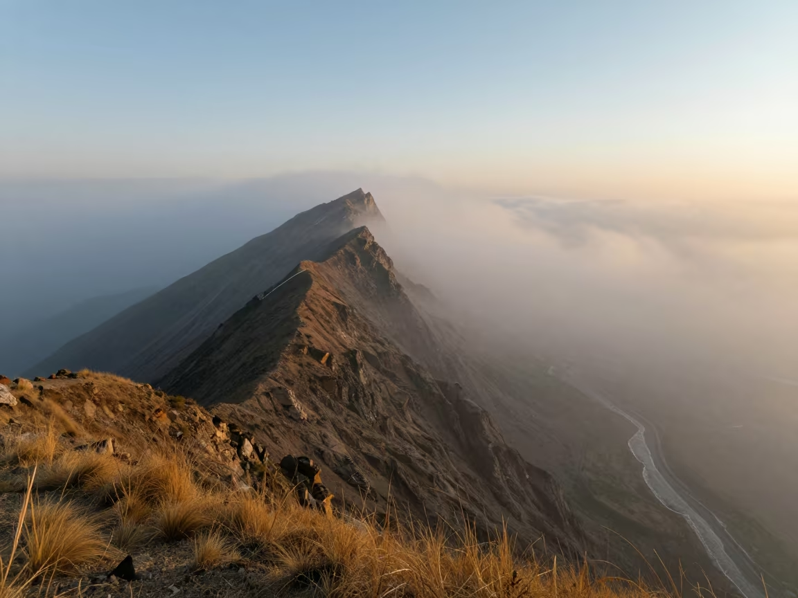
Dawn Light Over Leh Mountain Pass in Autumn
Comments