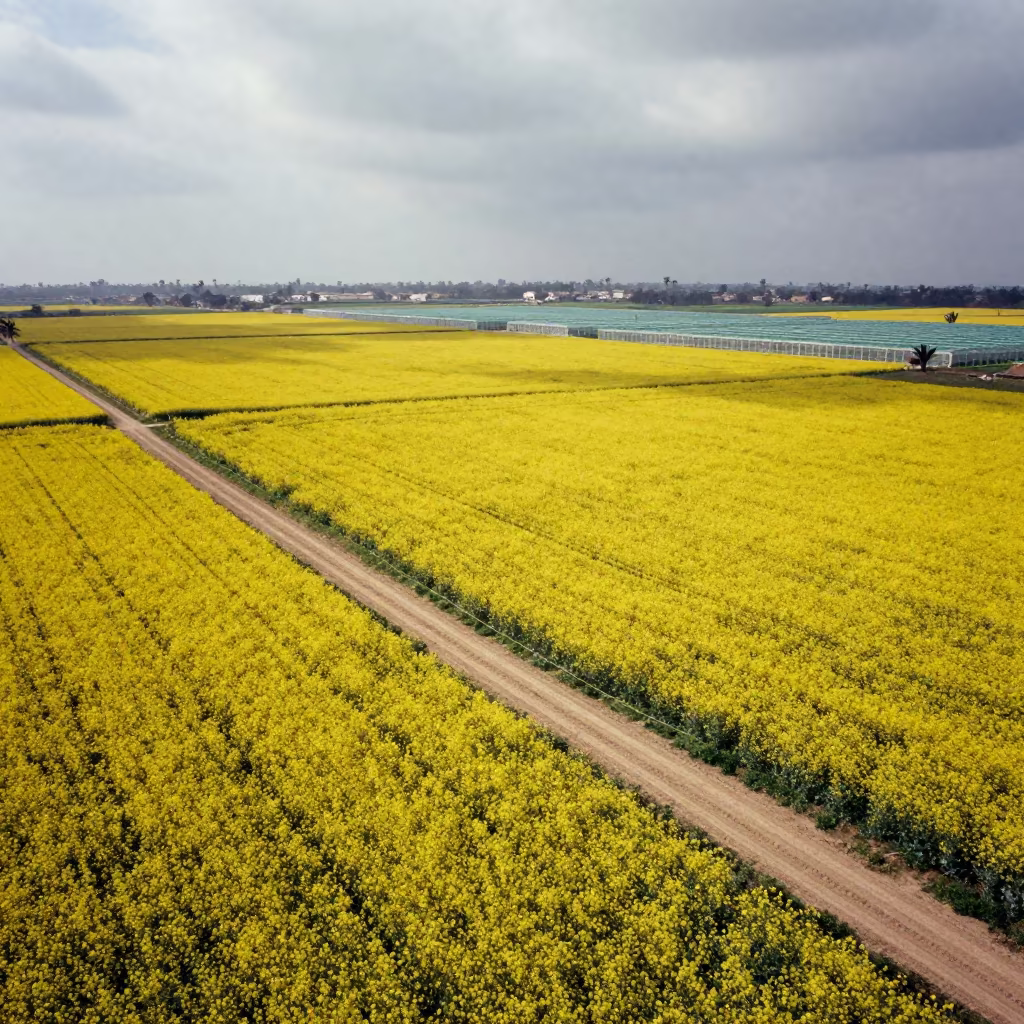
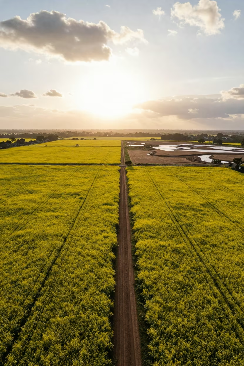
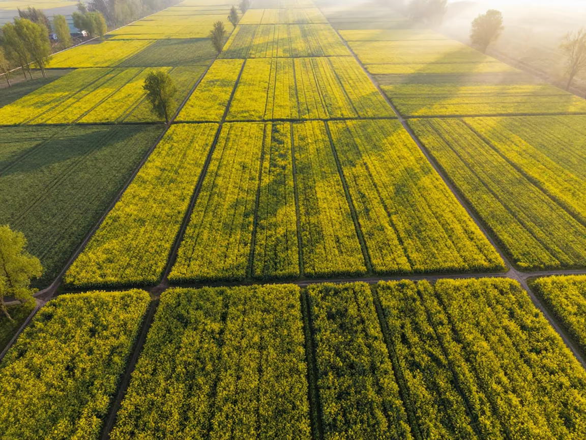
Aerial View of Mustard Fields Near Benghazi
Golden-yellow mustard blooms cover the earth in a vast, textured mosaic, interrupted only by the sharp, linear cuts of unpaved dirt tracks. From this high vantage point, the landscape unfolds as a geometric grid of greenhouse structures visible in the distance, their white frames standing out against the vibrant crop. Heavy, slate-gray clouds dominate the sky, diffusing the tropical sunlight into a soft, even glow that eliminates harsh shadows. The winter season is evident in the muted tones of the soil and the dense, uniform canopy of the plants. The tracks wind through the fields, creating a network of brown veins against the yellow sea, leading toward the structured rows of the agricultural infrastructure.
Free to download. CDN hosting requires a link back to this page. Terms
Similar Images
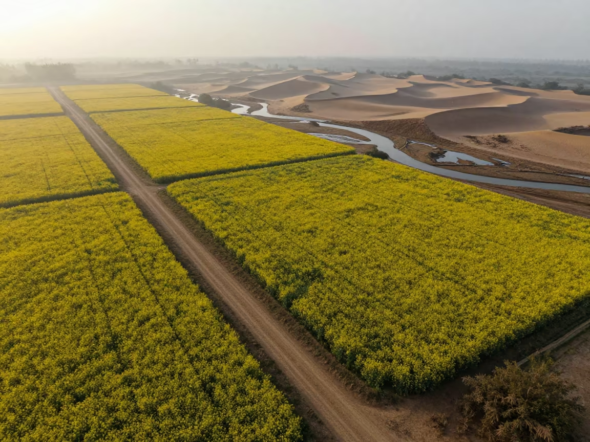
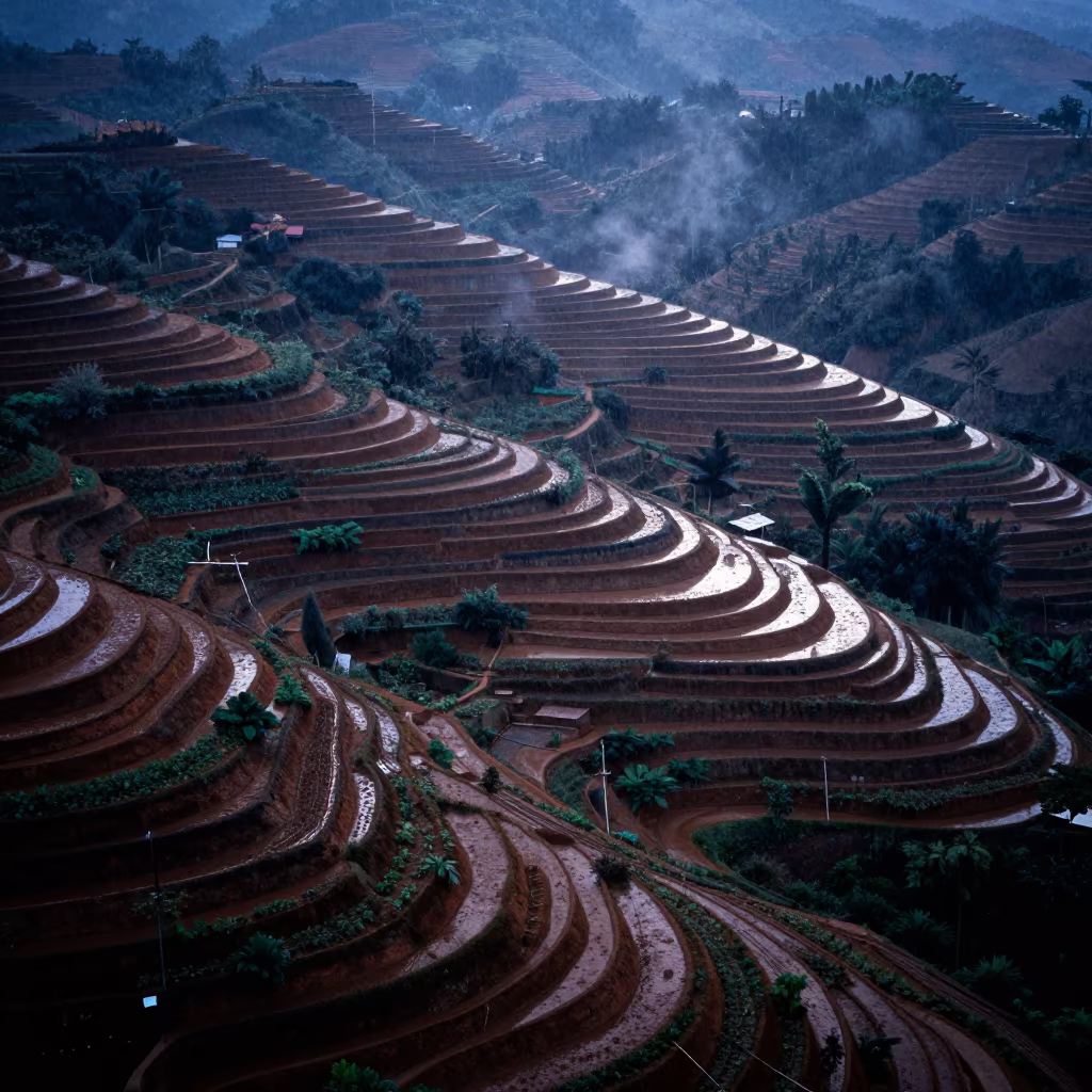
Aerial View of Mustard Fields and Wadis
Mustard Fields and Tracks in Rio Grande do Sul Aerial View
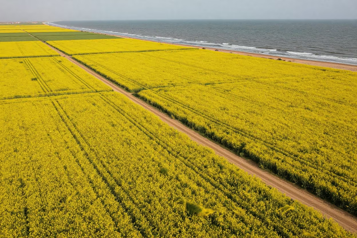
Mustard Fields and Tracks Near Jeddah Coast
Monsoon Mustard Fields Aerial View Ramadi Coast
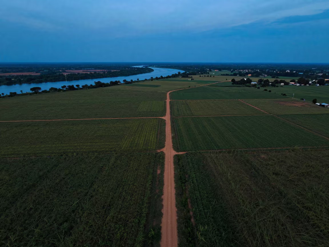
Mustard Fields and Braided Rivers at Dusk
Mustard Fields and Dirt Tracks at Dawn Near Nikko
Aerial View of Gabon Mustard Fields Twilight
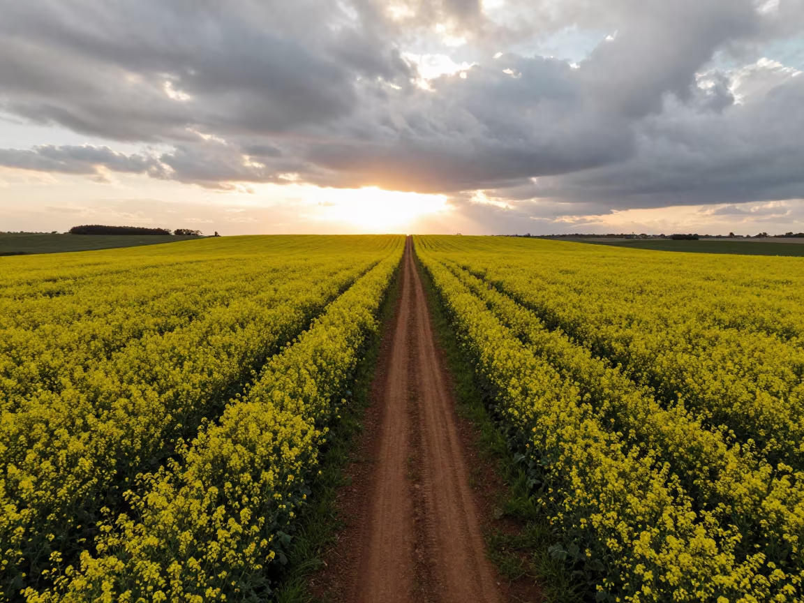
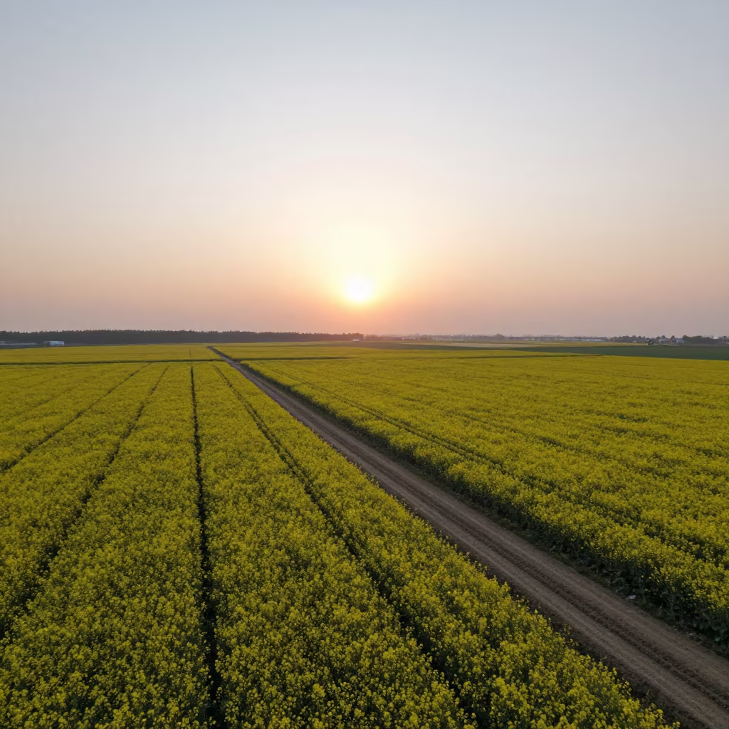
Mustard Fields Aerial View Golden Hour Silhouette
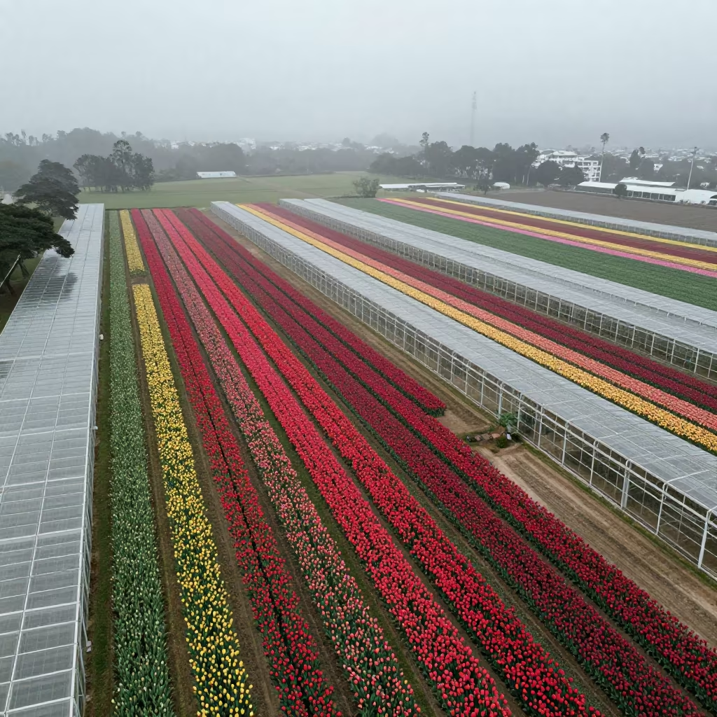
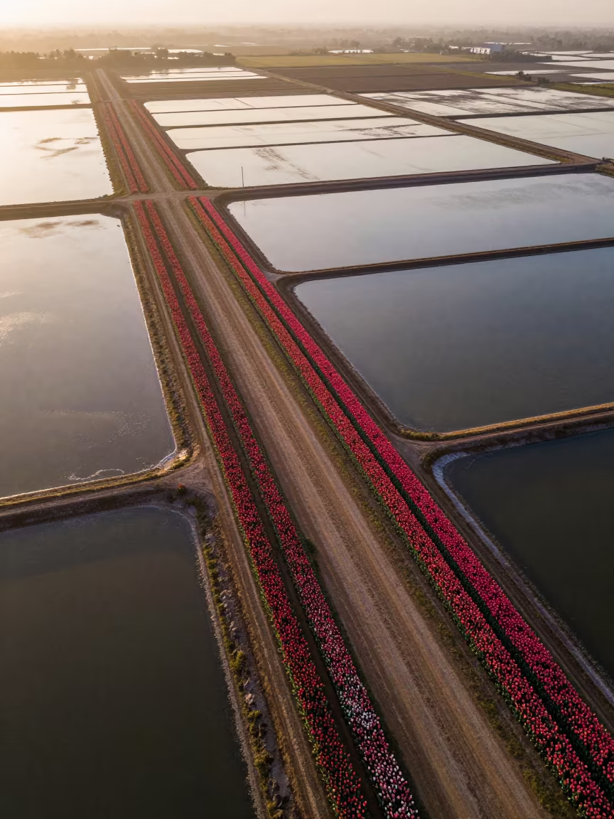
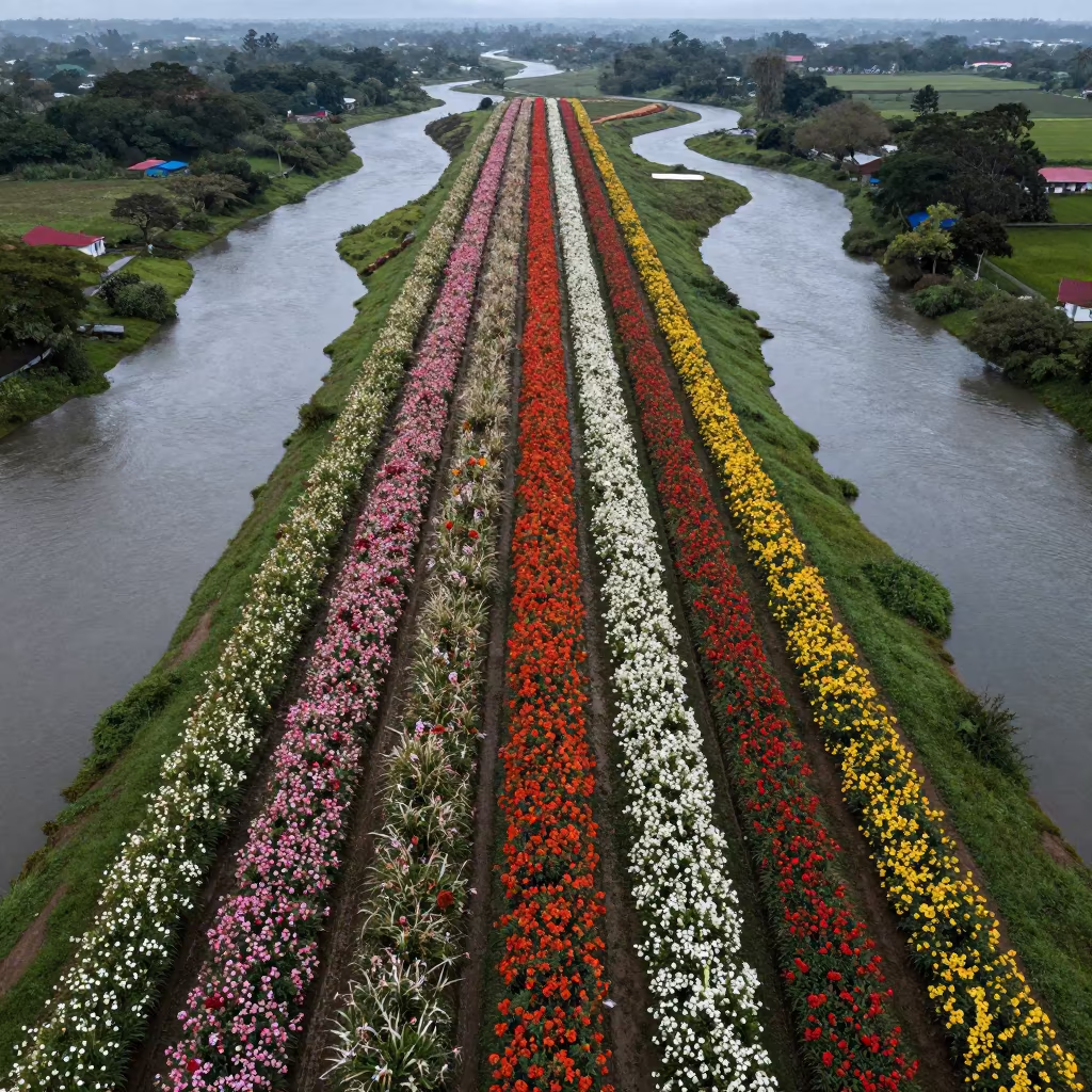
Aerial Tulip Fields Rio Greenhouse Stripes
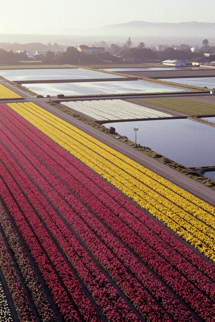
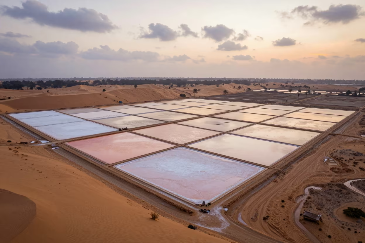
Aerial Flower Fields Near Montevideo Salt Ponds
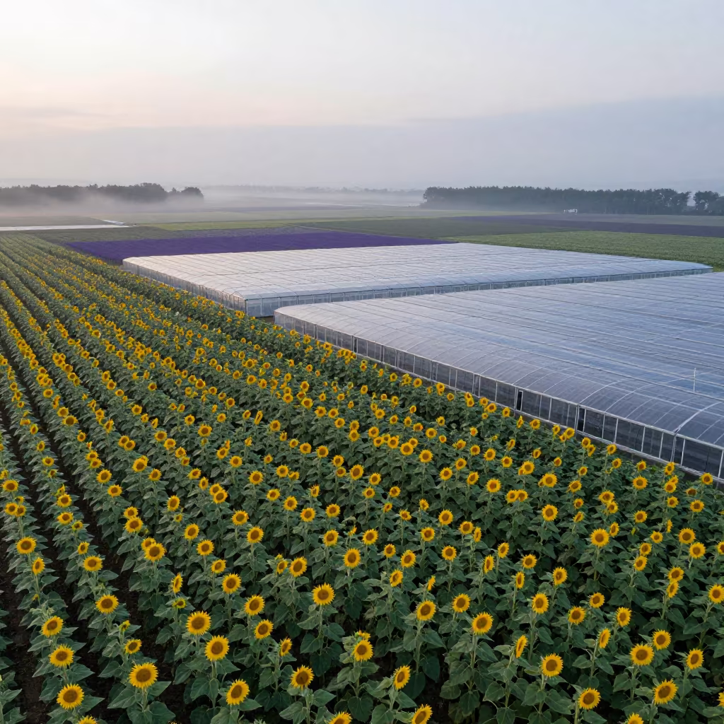
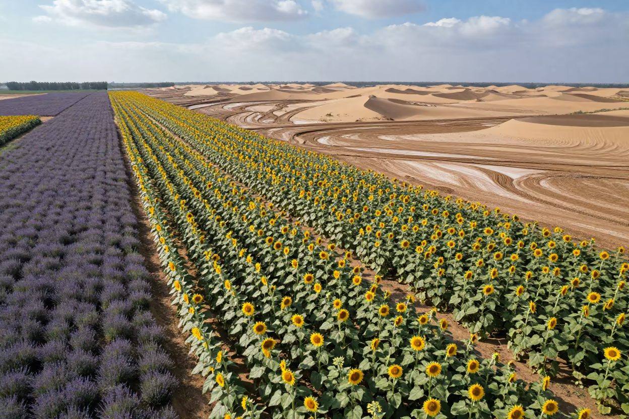
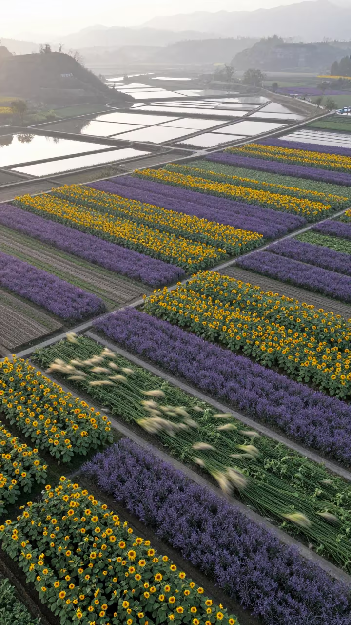
Aerial patchwork of sunflower and lavender fields
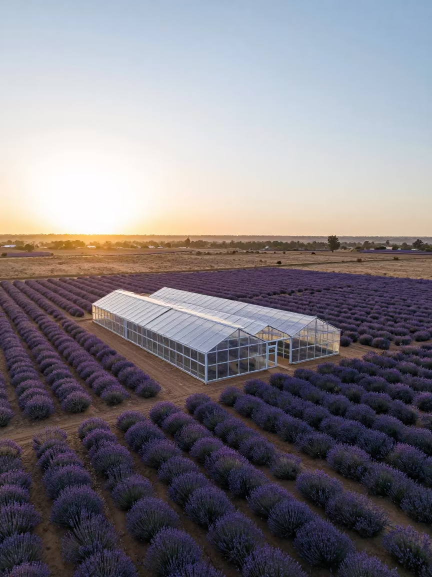
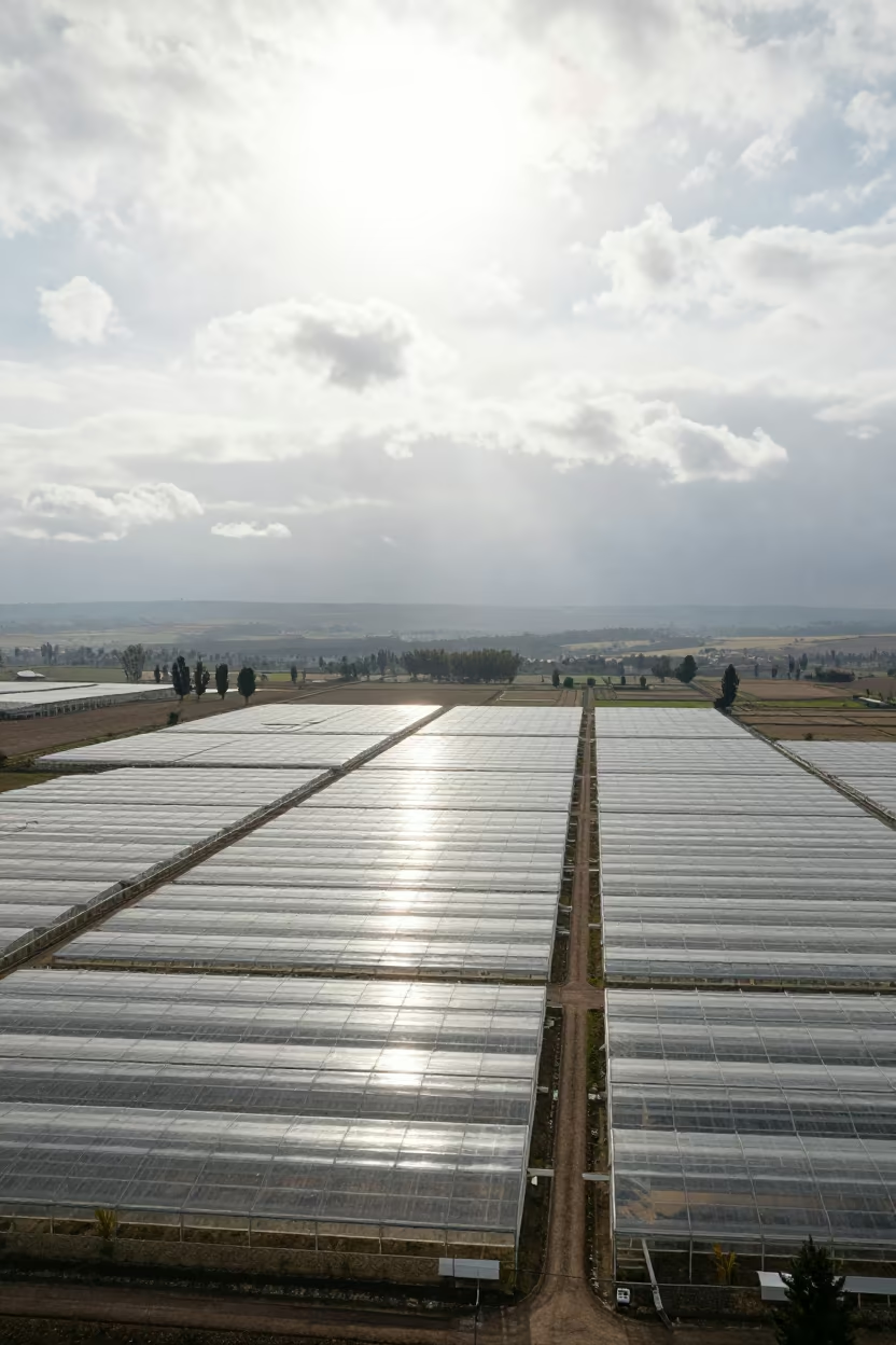
Surreal Transparent Greenhouse Rows Senegal
Aerial Salt Pans Pastel Rectangles Mombasa Coast
Aerial Tulip Fields Benin Salt Ponds
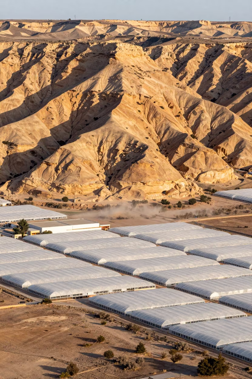
Amber Mesa and Greenhouse Grids Tunisia Aerial
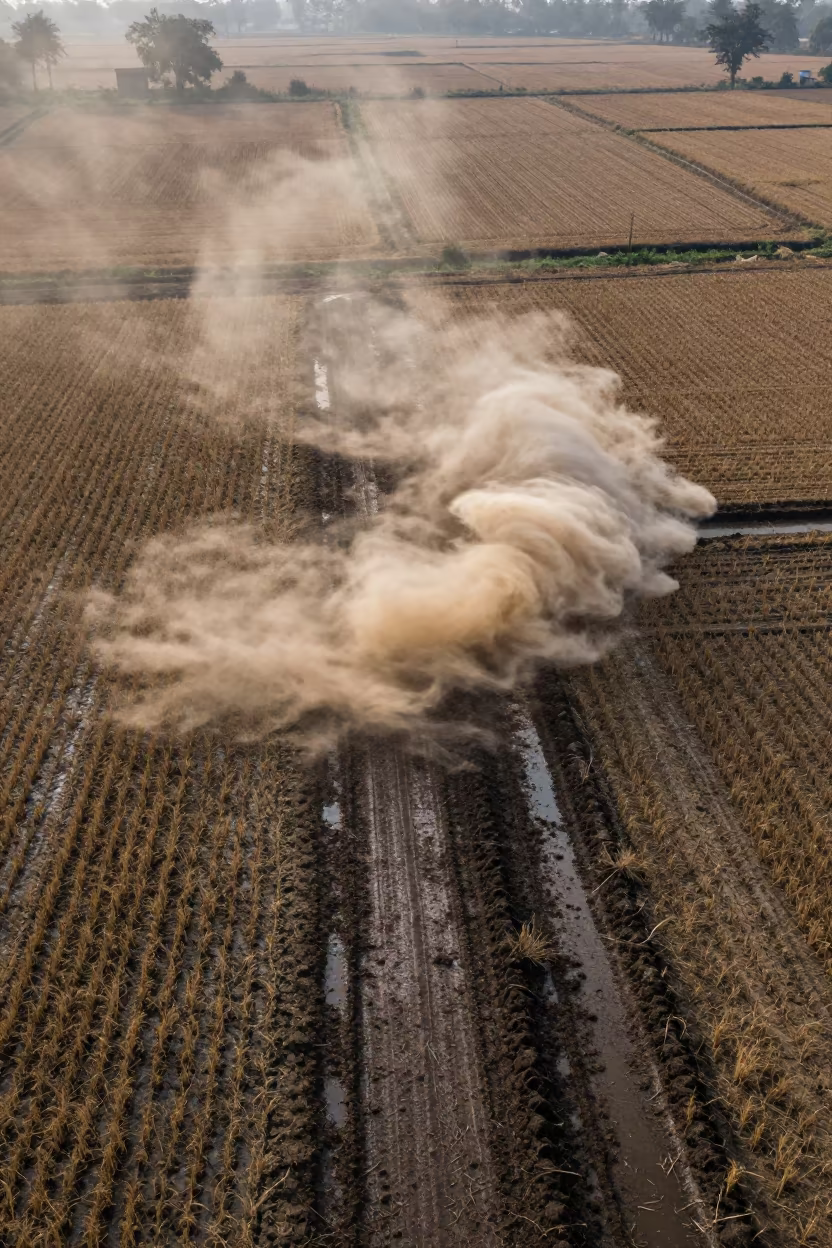
Dust Devil Spins Over Bangladesh Winter Field
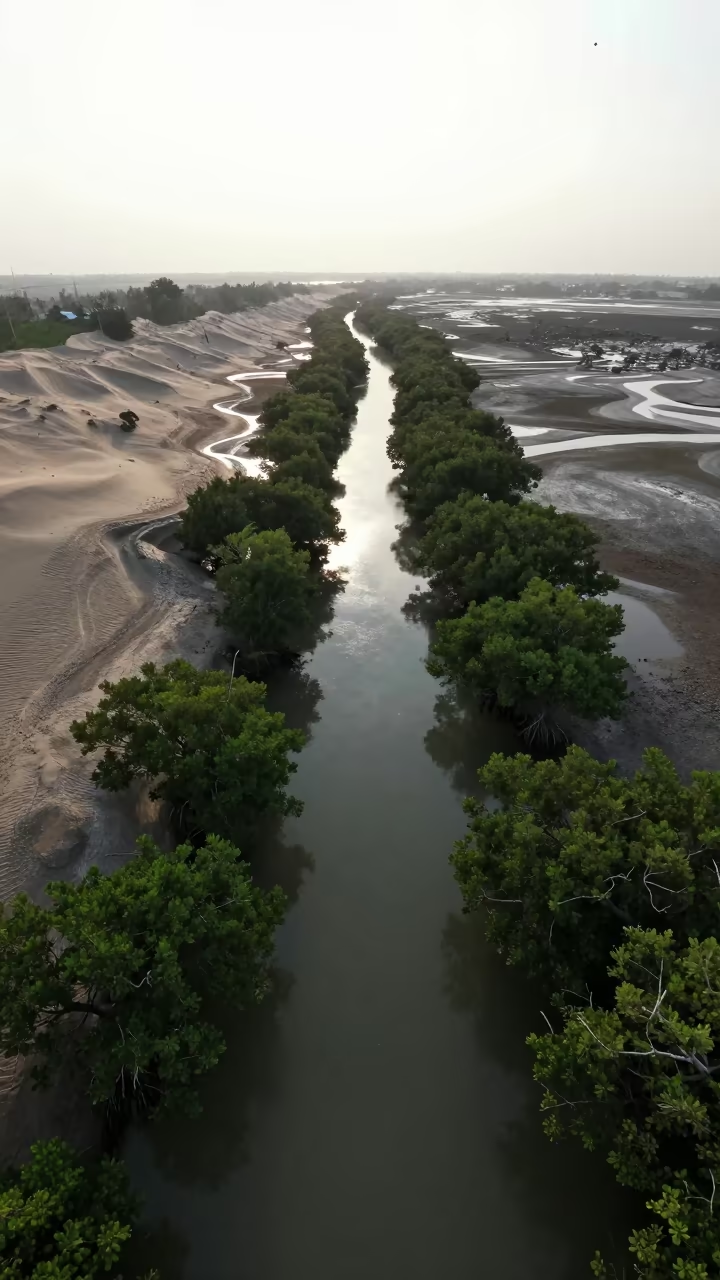
Silhouetted Mangrove Channels Jakarta Dune Fields
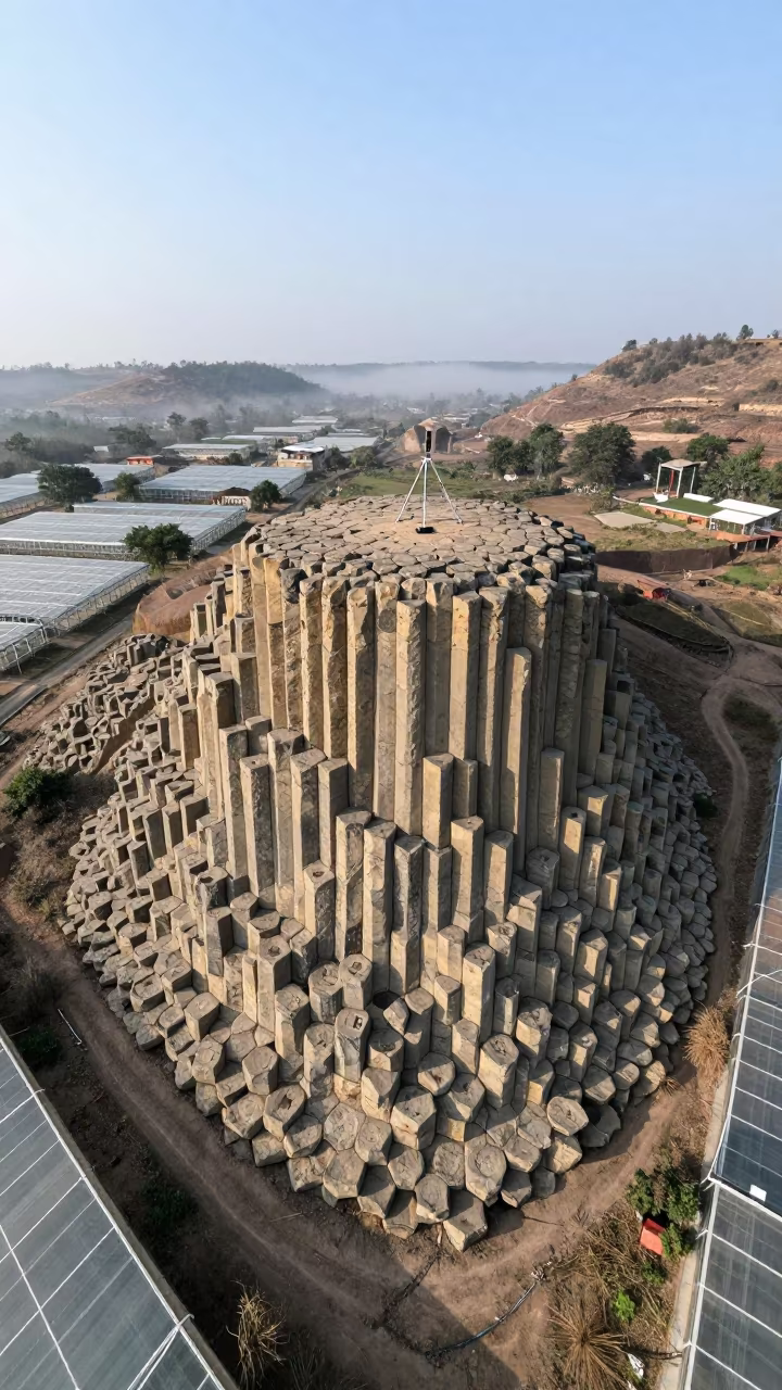
Honeycomb Basalt Columns Above Greenhouse Grids
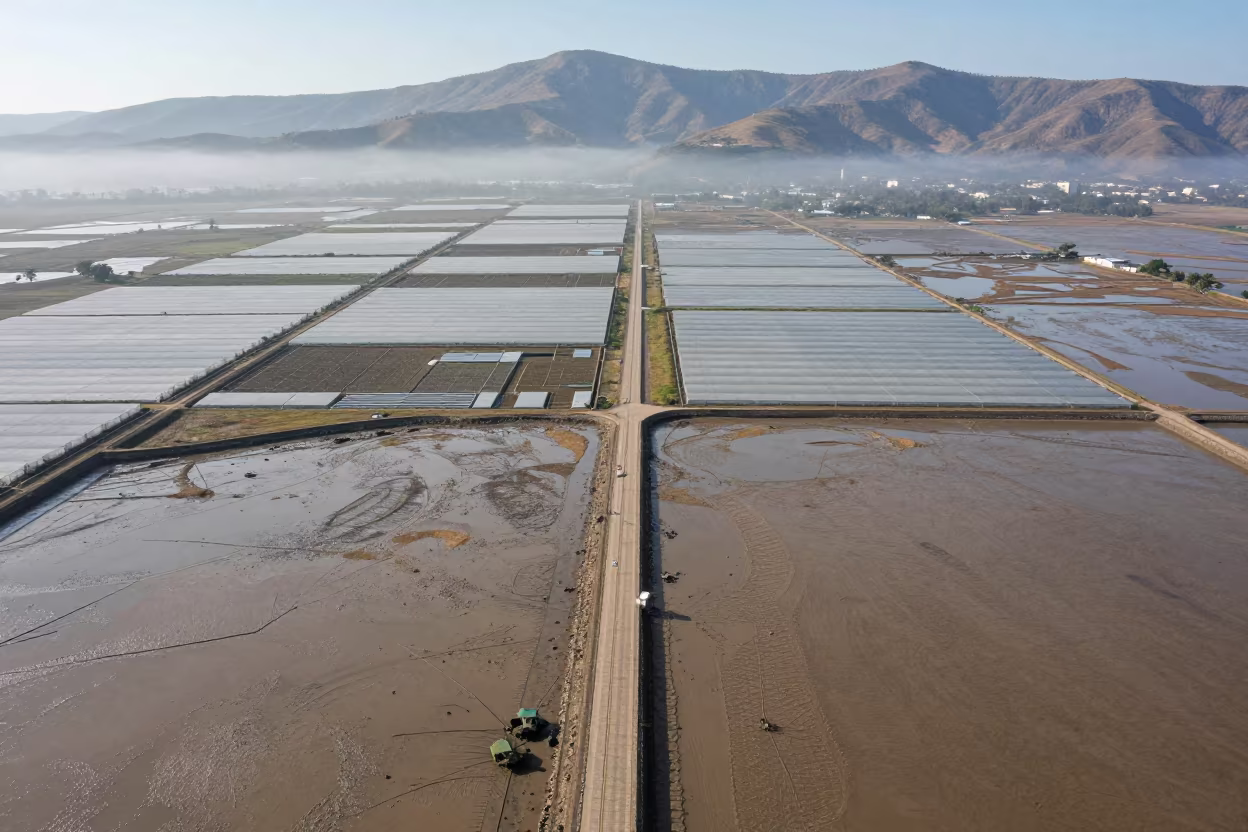
Aerial View of Lesotho Greenhouse Grids Noon
Winter Twilight Allotment Plots Mandalay Hills

Sunflower Fields and Dunes at Sunset in Alsace
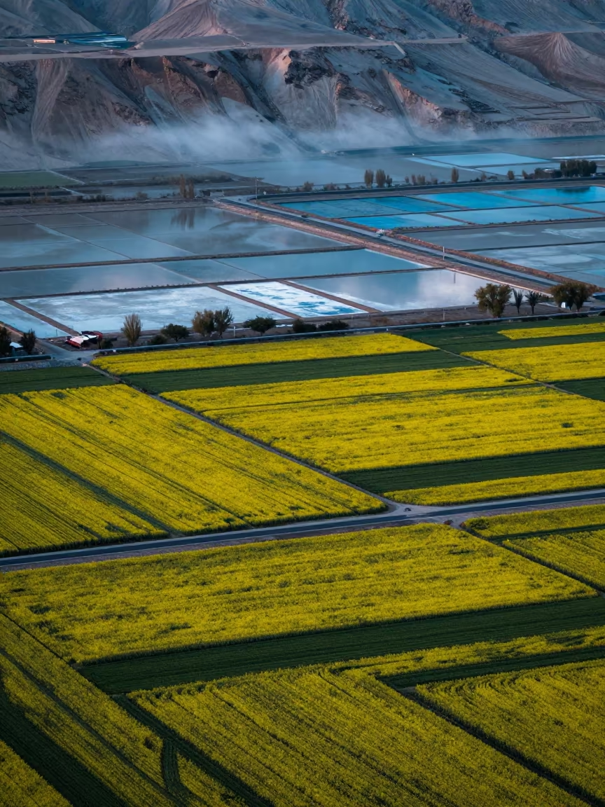
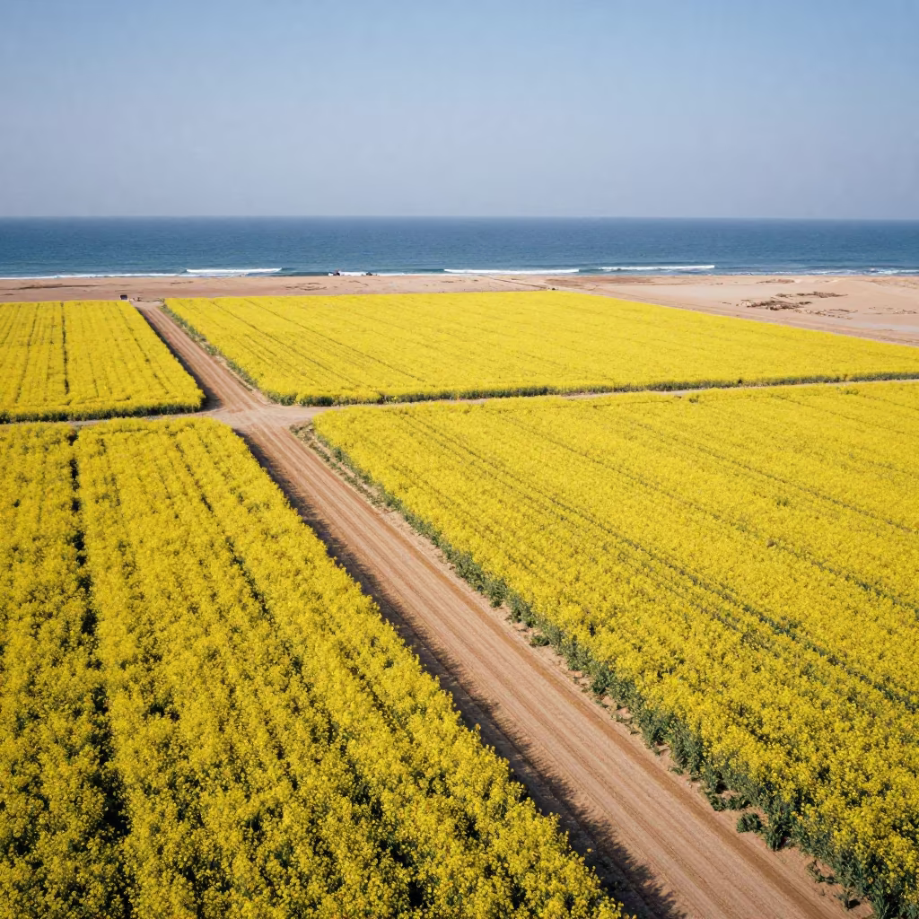
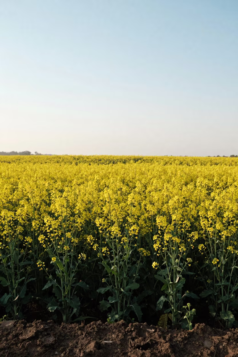
Yellow Canola Fields Over Winter Salt Ponds
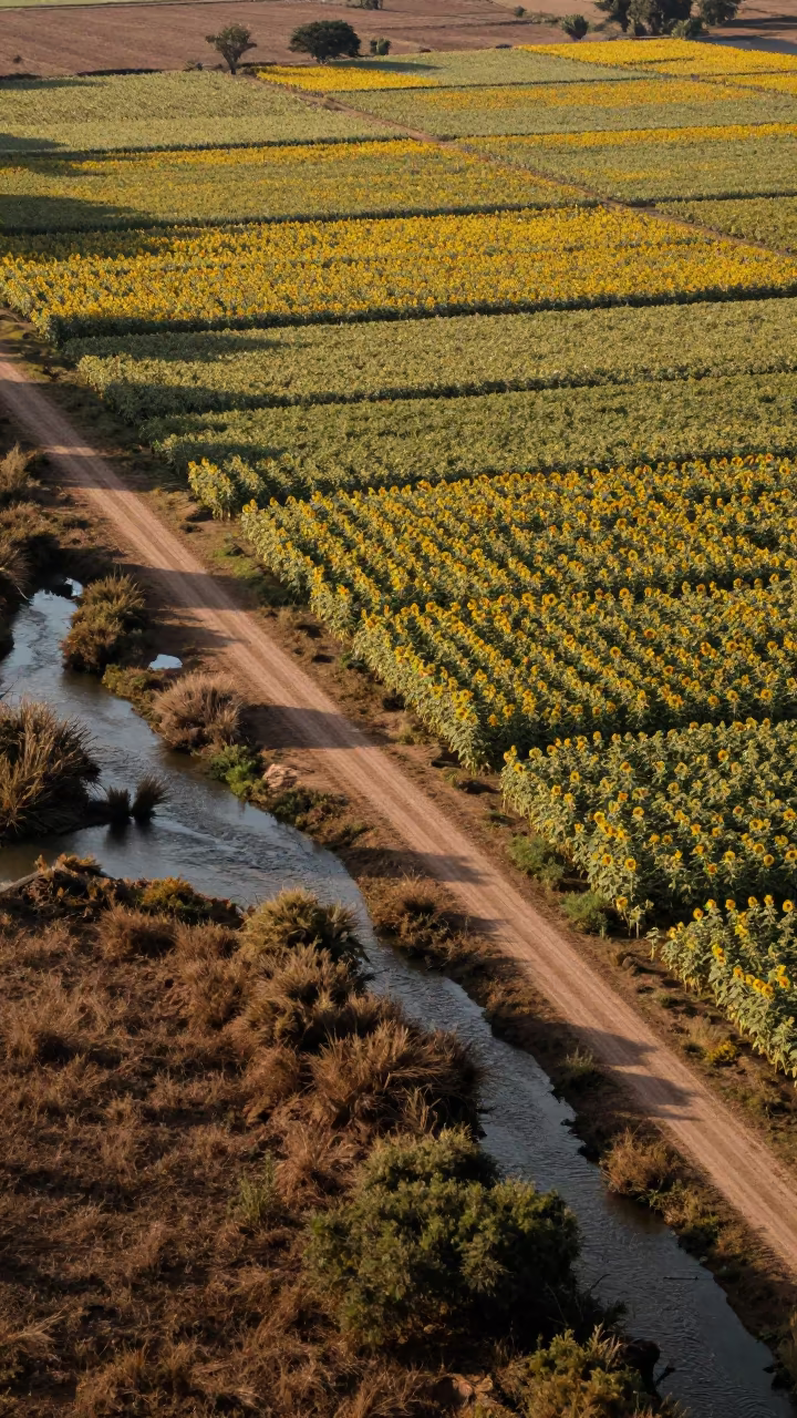
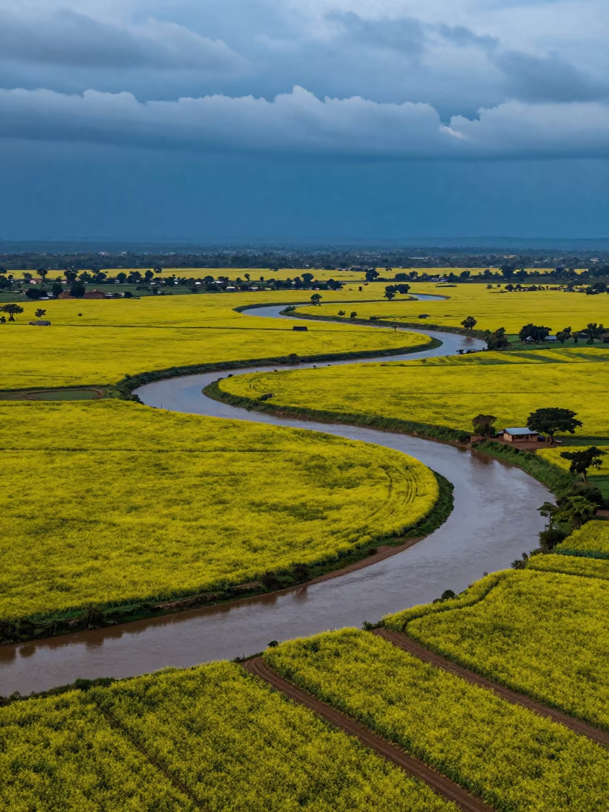
Sunflower Patchwork Above Braided River Channels
Autumn Sunflower and Lavender Fields Aerial View
Aerial Monsoon Flower Bands Near Tegucigalpa
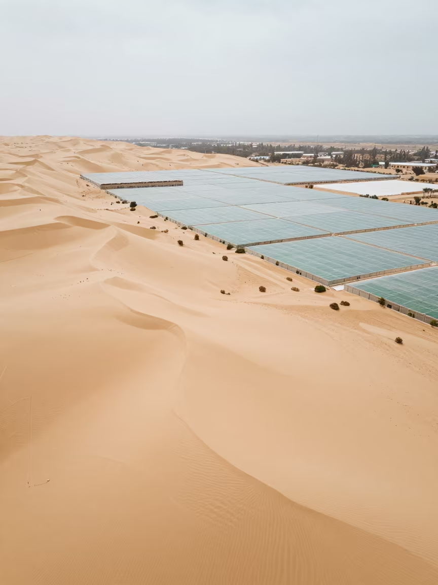
Aerial Sand Dunes Over Libyan Greenhouse Grids

Bamboo Thatch Pavilion Over Rice Paddy Madagascar
Aerial Spring Dawn Over Salt Ponds Fields
Aerial Tidal Flats Greenhouse Grids Haiti

Wisteria Tunnel Purple Bloom Dawn Mist Ethiopia
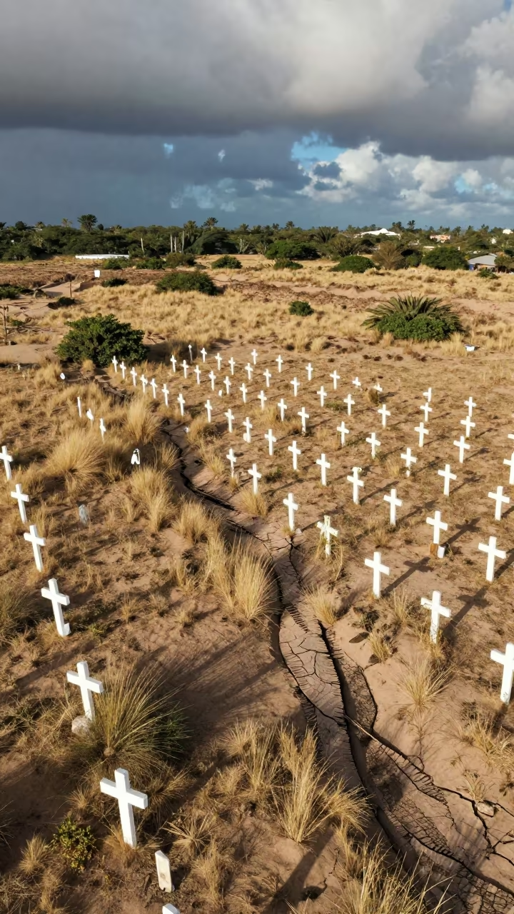
Aerial Cemetery White Crosses Dune Fields Cochabamba
Electric Yellow Canola Field Near Mbarara
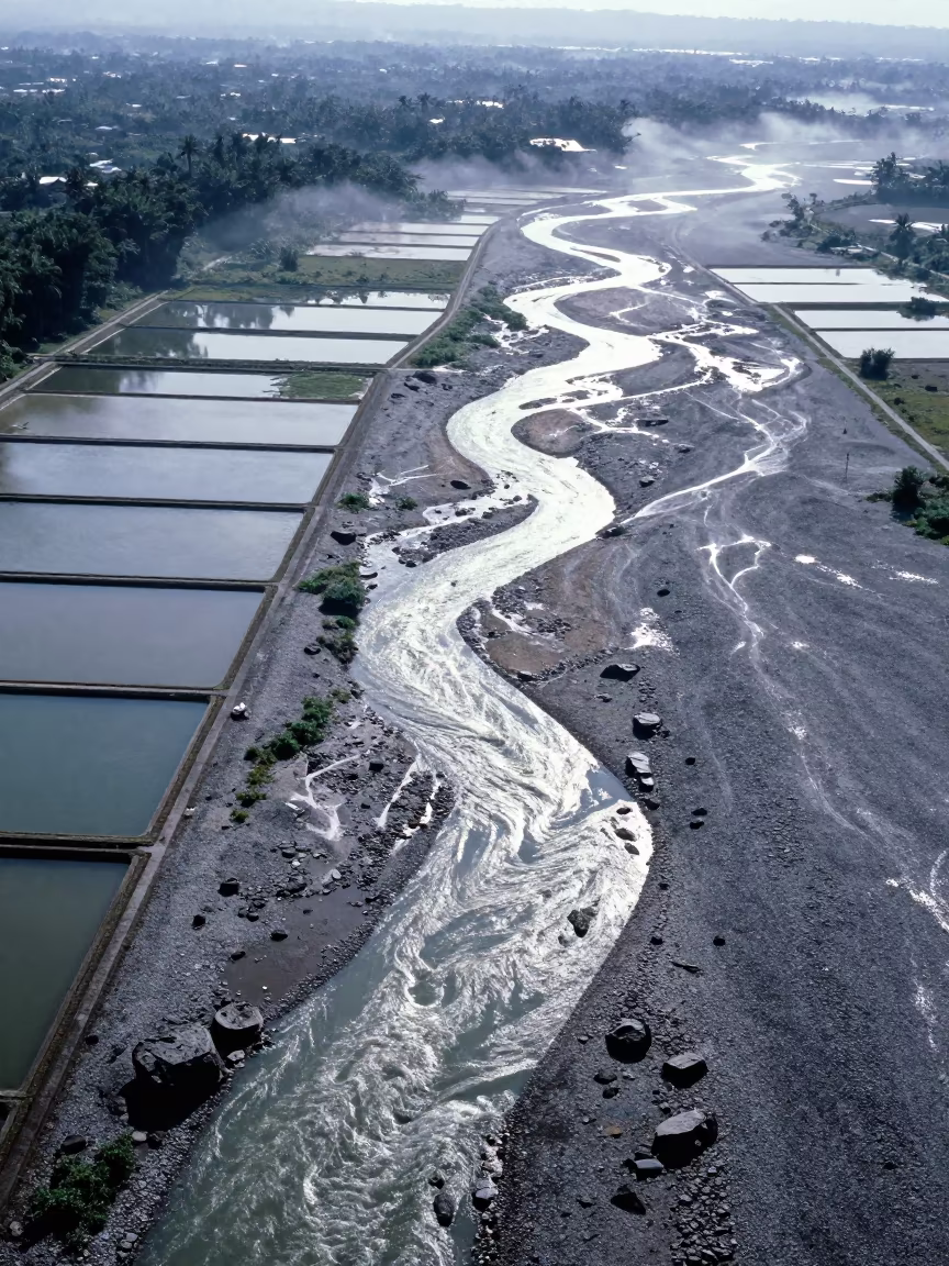
Braided Glacial Rivers Over Salt Ponds Ouagadougou
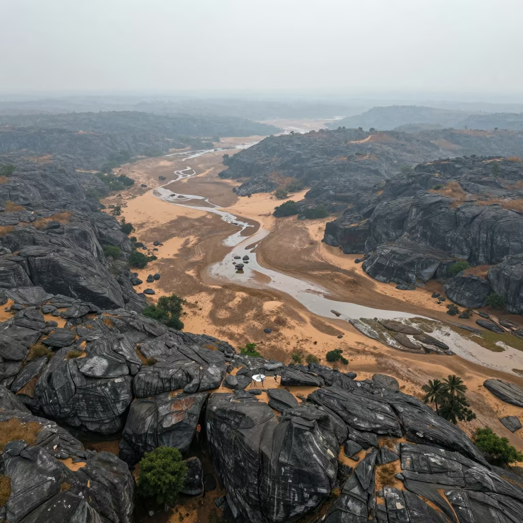
Aerial View of Limestone Karst and Dunes Near Mysore

Silhouetted Daisies Massachusetts Monsoon Sunset
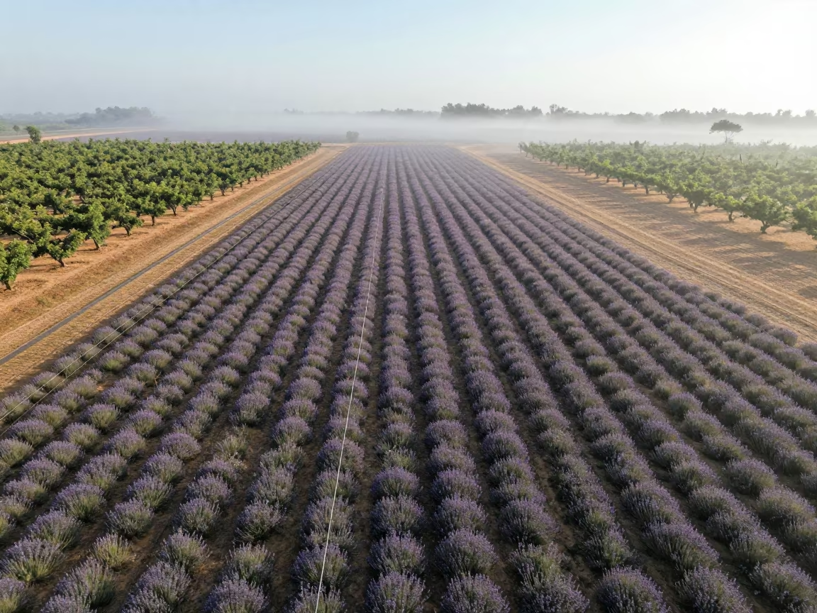
Aerial Lavender Fields Geometric Rows Mist
Aerial View of Yellow Canola Fields Near Srinagar
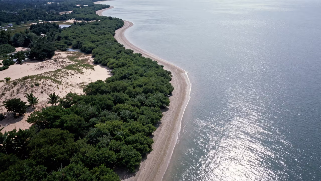
Aerial View of Malaysian Mangrove Coastline and Open Water

Comments