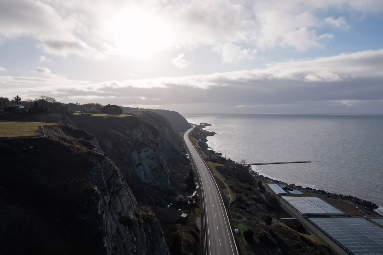
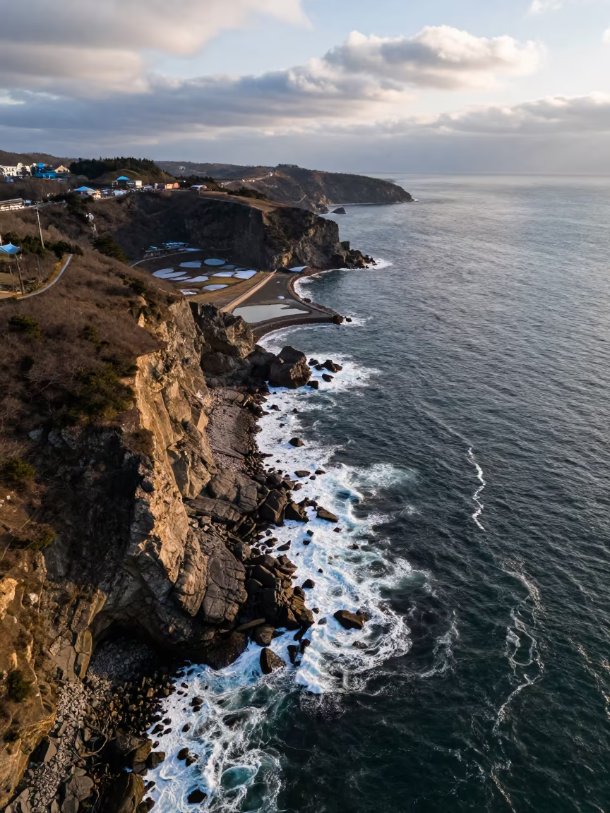
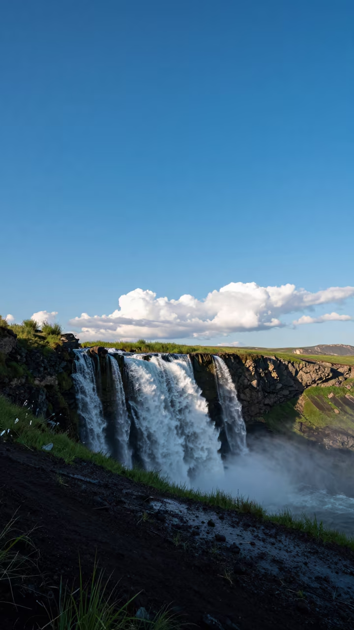
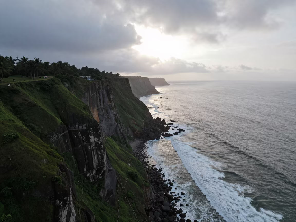
Aerial Coastal Highway Cliff Edge Salt Ponds
by Devon Klein
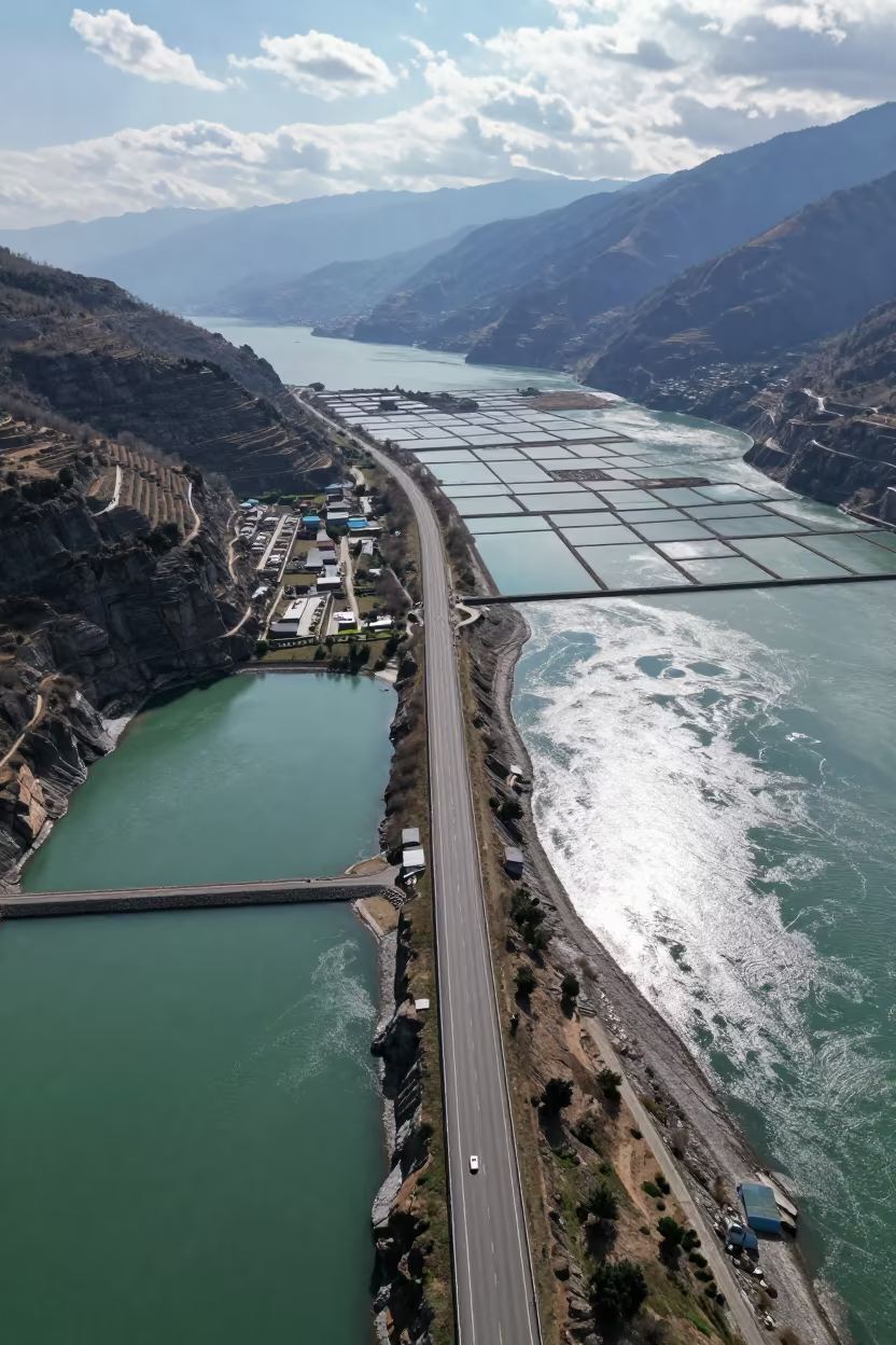
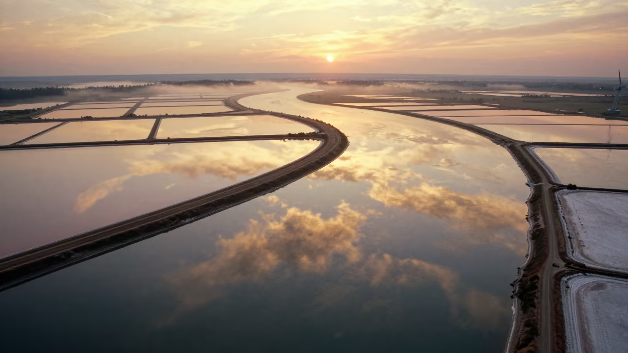
Pale turquoise water fills rectangular salt ponds below a winding asphalt highway that traces the jagged cliff edge. The road curves sharply against the white salt crusts and dark earthen causeways dividing the geometric basins. Above, low gray clouds break into patches of bright blue sky, casting shifting reflections across the shimmering water surfaces. The midday sun flattens shadows, showing the stark contrast between the dark road, the white salt, and the deep blue of the open water. Layers of depth recede as the highway disappears into the hazy horizon where the land meets the sky. A thin line of white foam marks the boundary where a small wave breaks against the rocky shore.
Free to download. CDN hosting requires a link back to this page. Terms
Similar Images
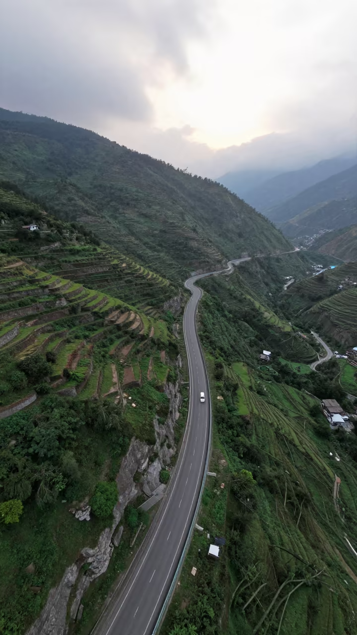
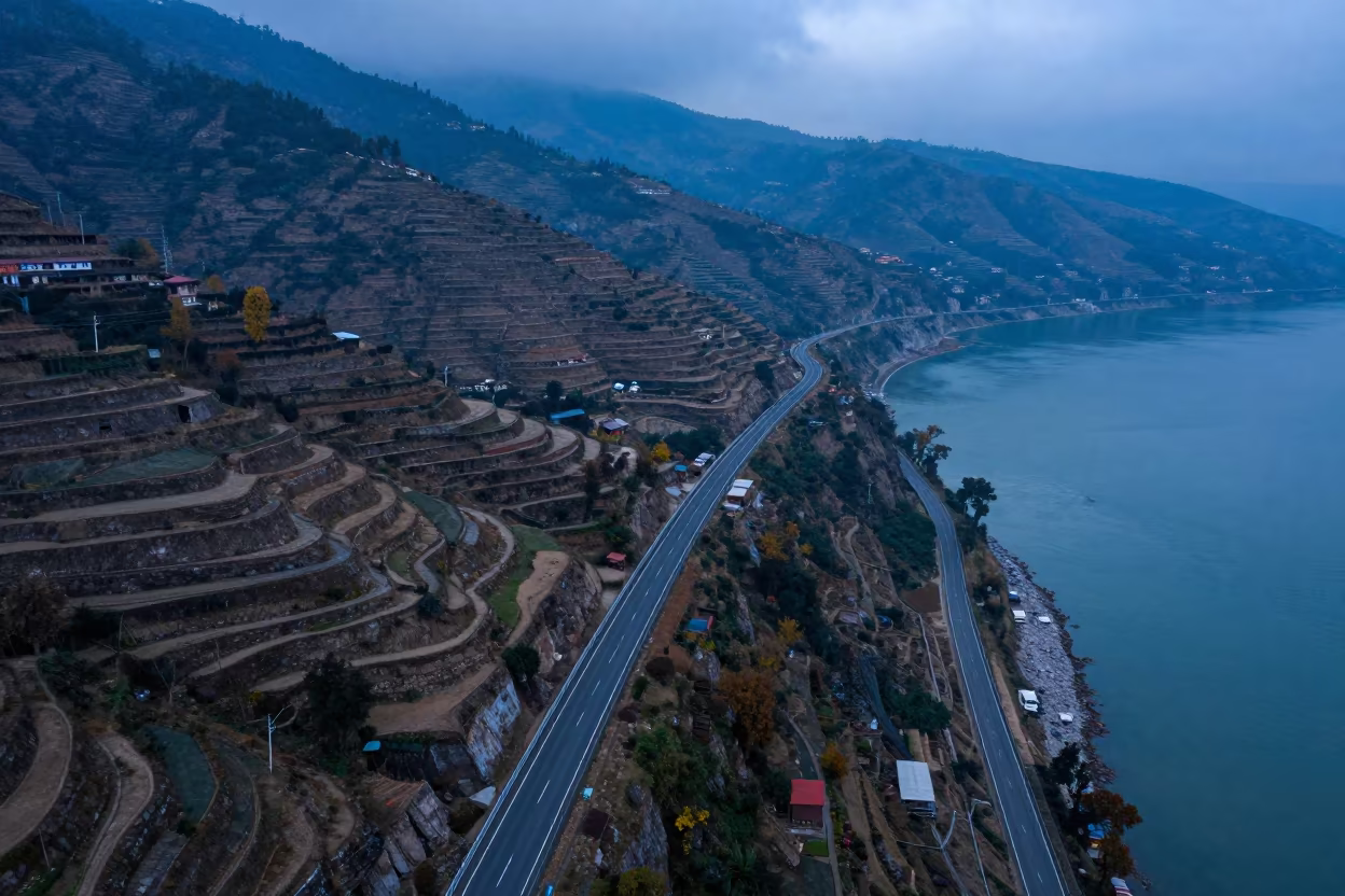
Aerial Coastal Highway Cliffside Uttarakhand Pre dawn
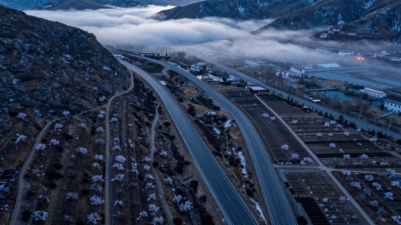
Winter Twilight Coastal Highway Cliff Aerial View
Coastal Cliff Runoff Channels Evening Light
Coastal Highway Cliff Edge Aerial View
Salt Ponds and Waves Near Pushkar
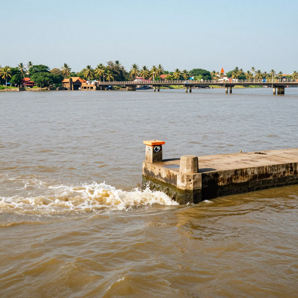
Vibrant Kochi India Backwaters Bridge Pier Cutwater Splitting Brown Water in Bright Midmorning Light
Hanging Valley Waterfall Rim Light Morning Shadow
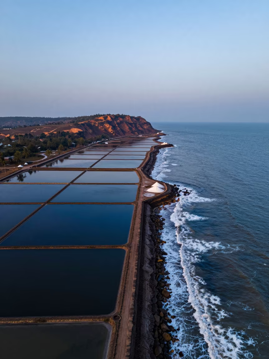
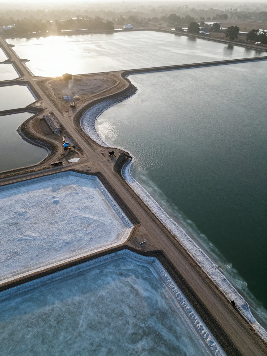
Blue Evening Sea Haze Over Goa Salt Ponds
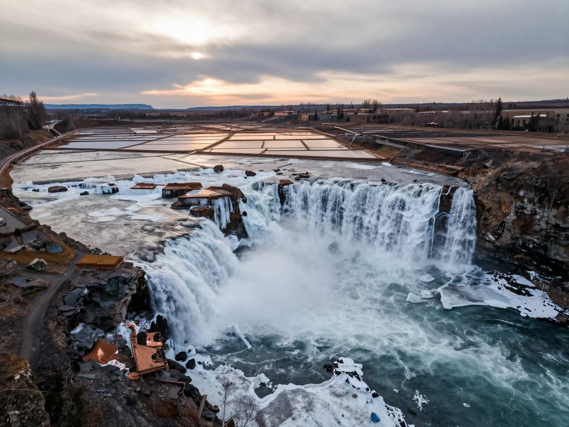
Frozen Waterfall Over Salt Ponds Alberta
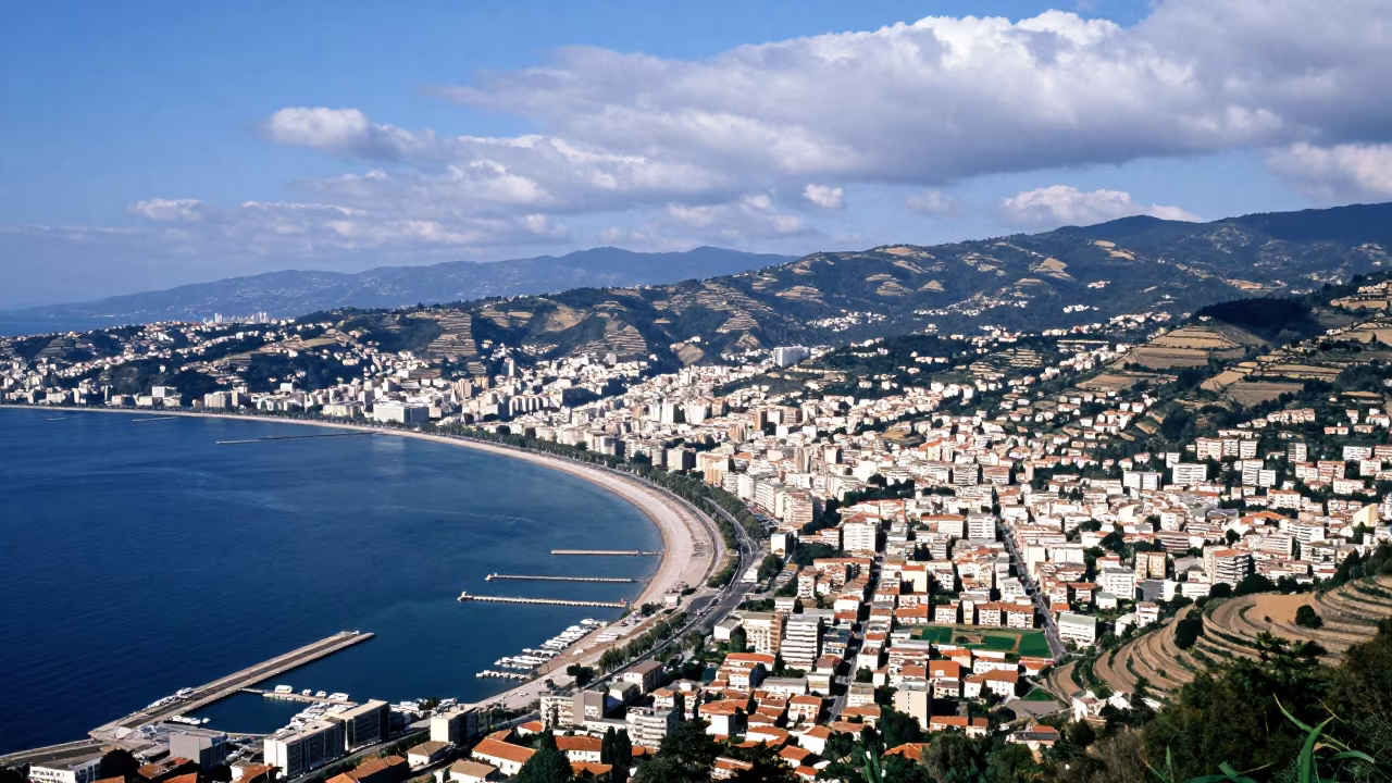
Aerial Coastal City Curved Bay Docks Midsummer Storm Clearing
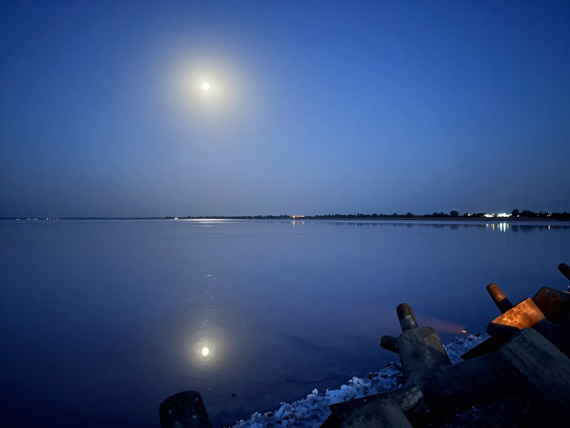
Moonlit Salt Flat Reflection Twilight Delhi
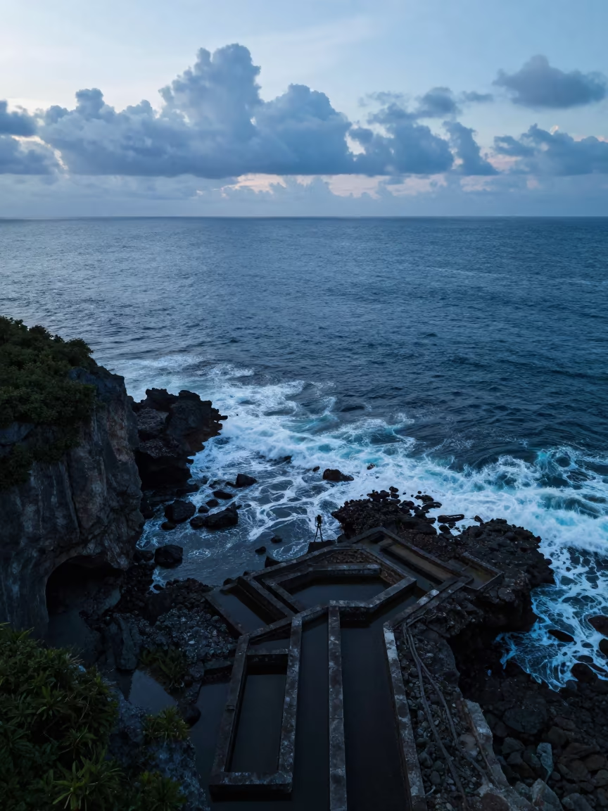
Blue Hour Cliffs Bitten by Surf Above Irrigation
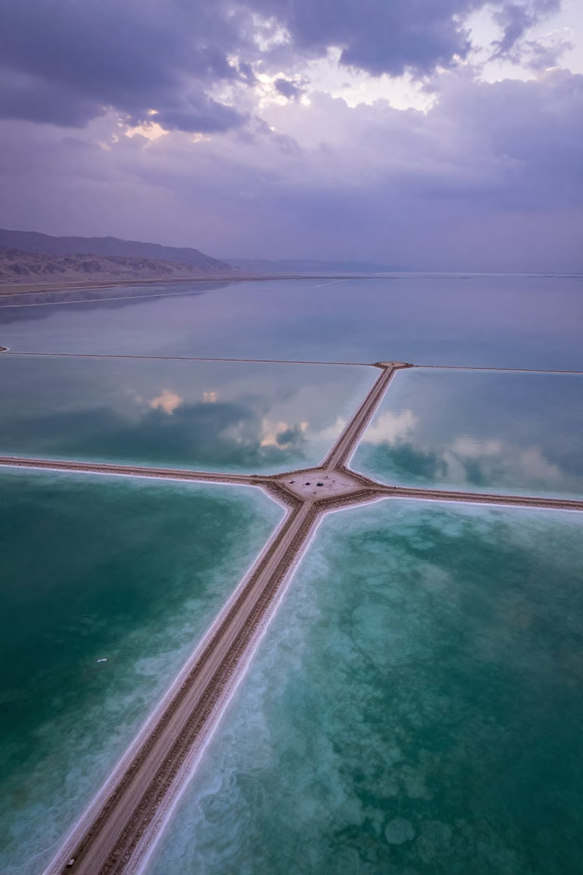
Dead Sea Salt Ponds Reflecting Dramatic Sky
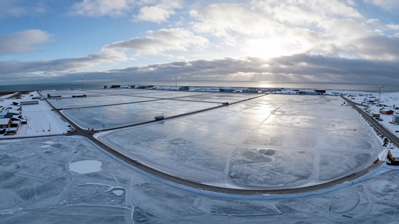
Aerial Winter Harbor Ice Iceland Salt Ponds
Aerial River Delta Branching Into Sea Near Cape Town
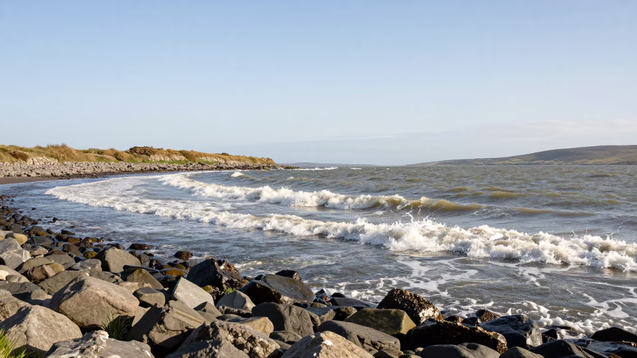
Tidal Bore Wave Northern Ireland Shore
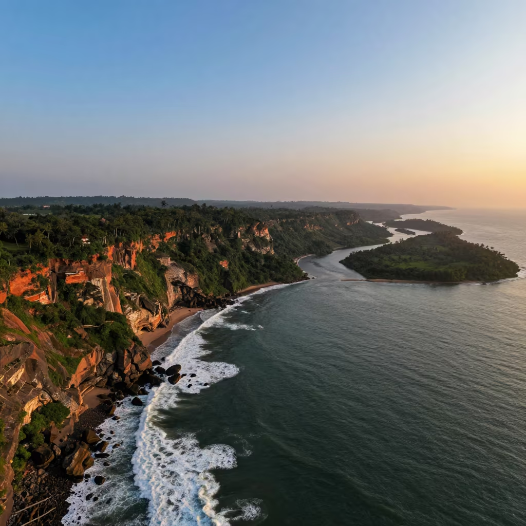
Aerial View of Kerala Sea Cliffs at Sunset
Misty Coastal Highway Cliff Edge Twilight Aerial View
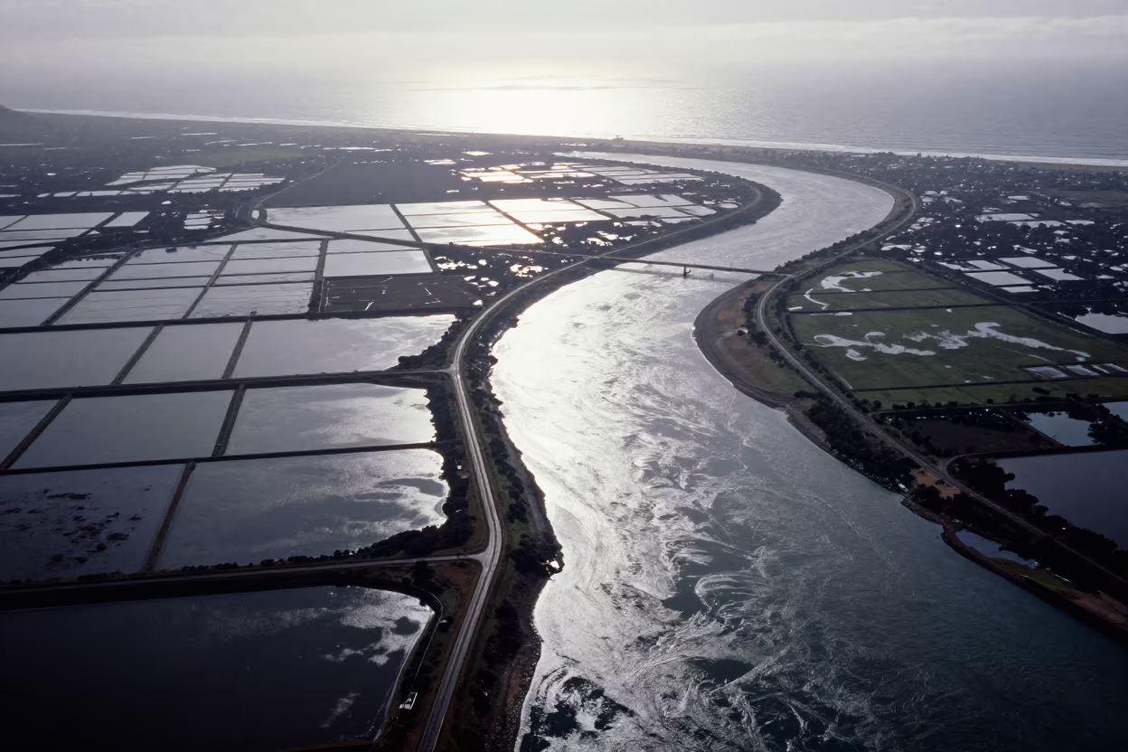
Salt Ponds and River Bend at Golden Hour
Sunrise Over Uttarakhand Ridge Above Clouds
Indigo Fjord Twilight Granite Waterfall Reflection
Columnar Basalt at Tidal Waterfall Shore
Winter Cliffs Bitten by White Surf Aerial View
Inverted Cloud Waterfall on Alberta Floodplain
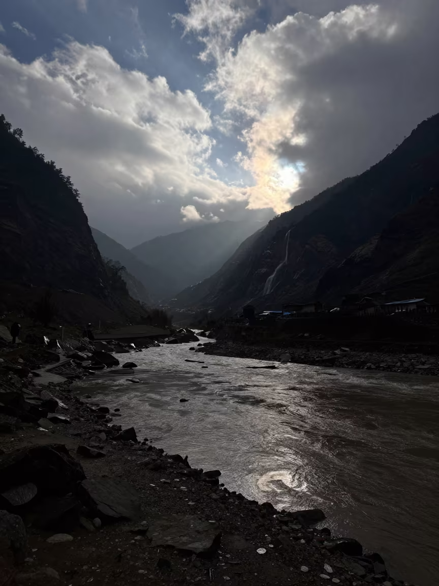
Surreal Dawn Over Uttarakhand Winding Road
Moonlit Glacier River on Volcanic Sand
Winter Lagoon in Sikkim Mountain Shore
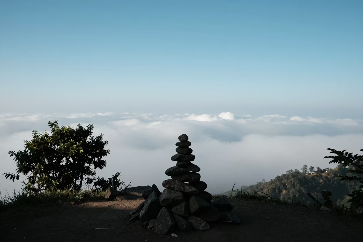
Cloud Sea Below Summit Cairn Shimla
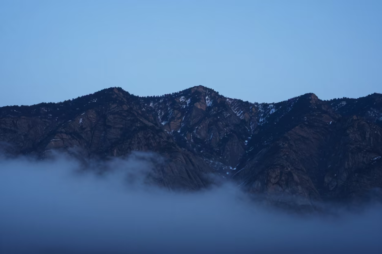
Steel Blue Ridge Above Clouds Uttarakhand
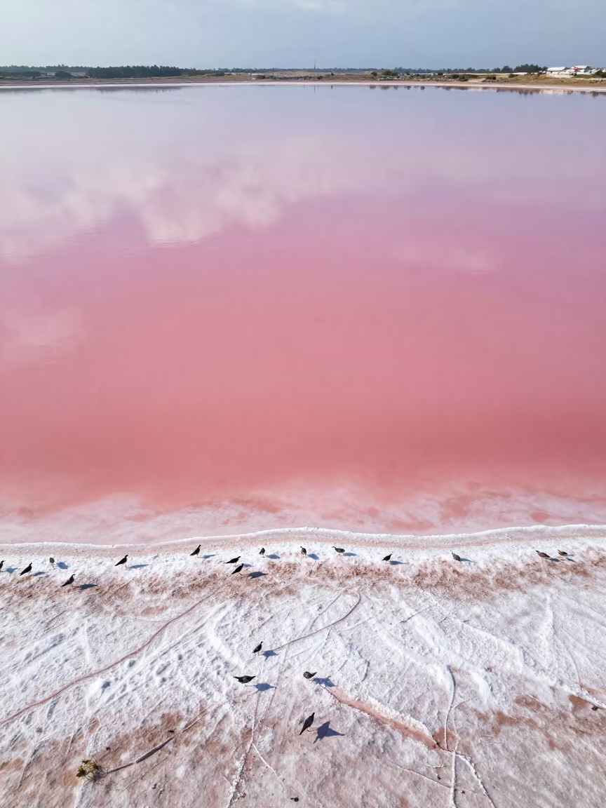
Pink Salt Lake Valencia Floodplain After Rain
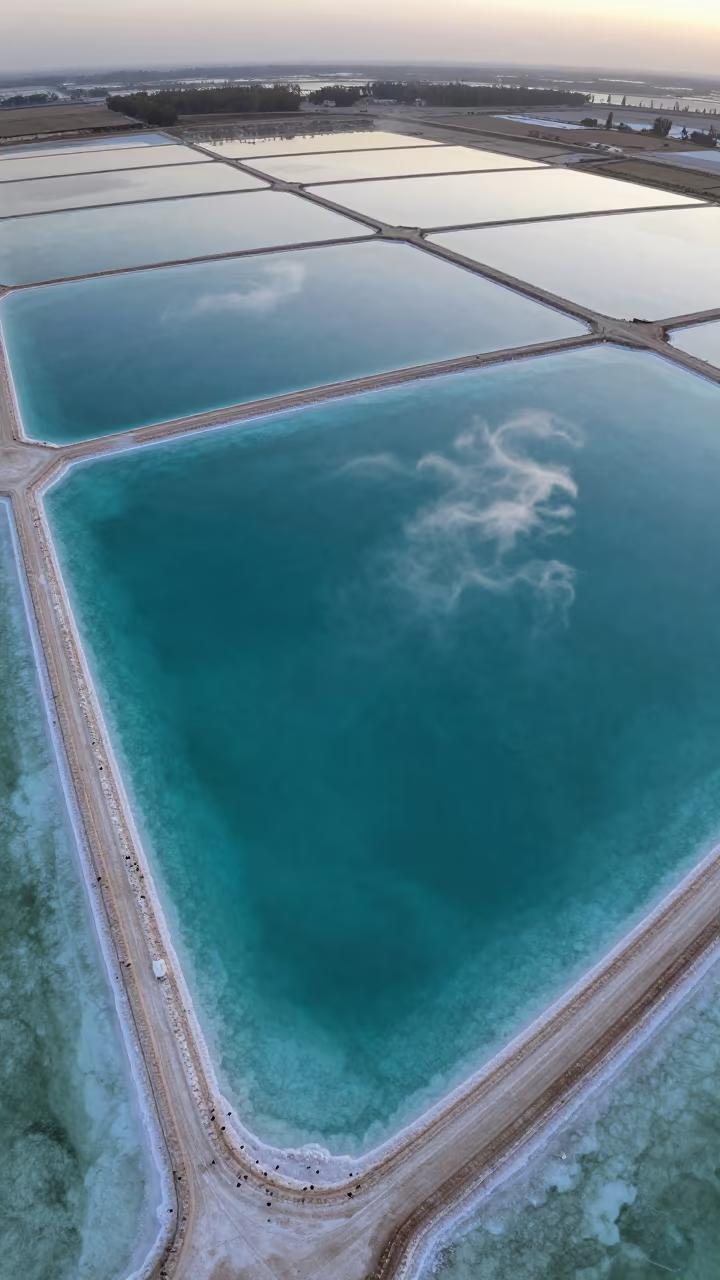
Turquoise Salt Ponds and White Sand Aerial View
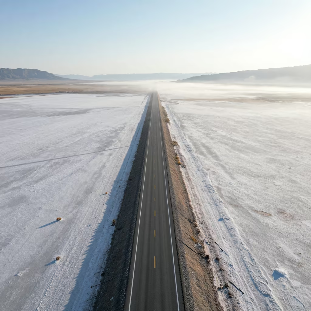
Utah Salt Ponds Highway Desert Morning Fog
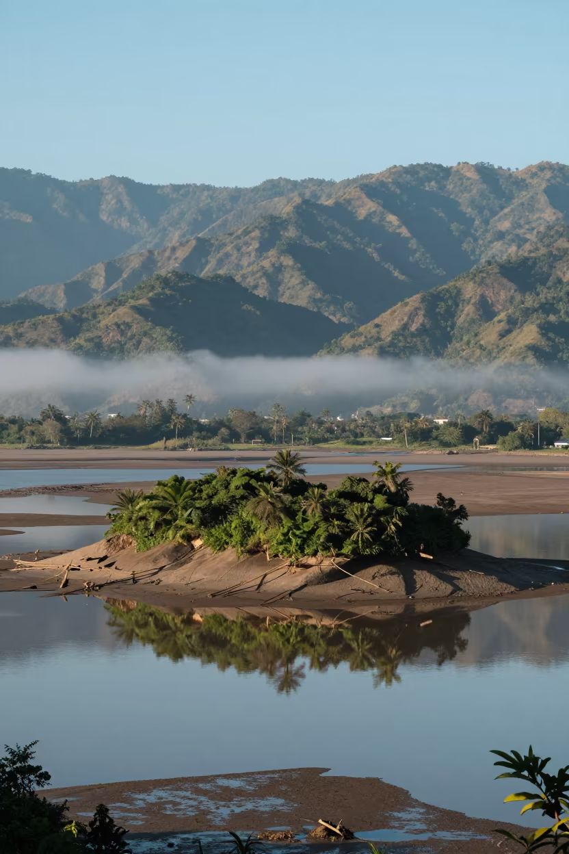
Tidal Island Ridge Reflections Wet Season
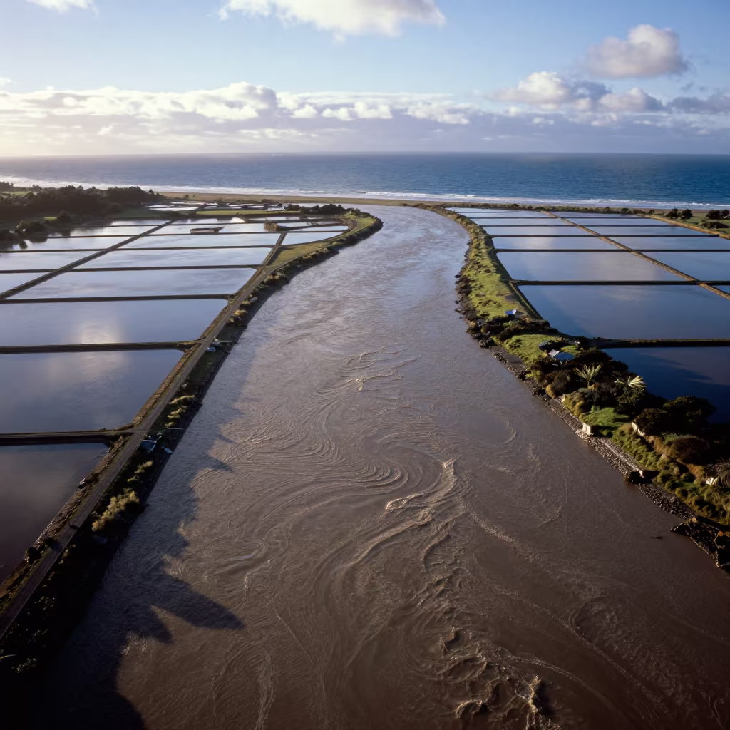
Aerial Dawn River Meets Ocean Muddy Swirls
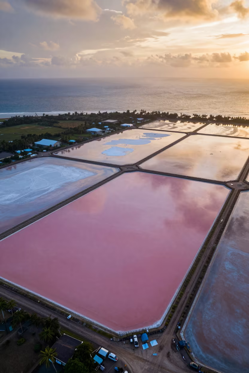
Pink Salt Ponds Under Amber Sunset Sky
Aerial Kerala Cliffs Dawn Rain Surf
Sailboat Anchored in Moonlit Andalusian Cove
Kochi India Coastal Breakwater Warning Beacons Noon Sunlight Realistic Landscape

Comments