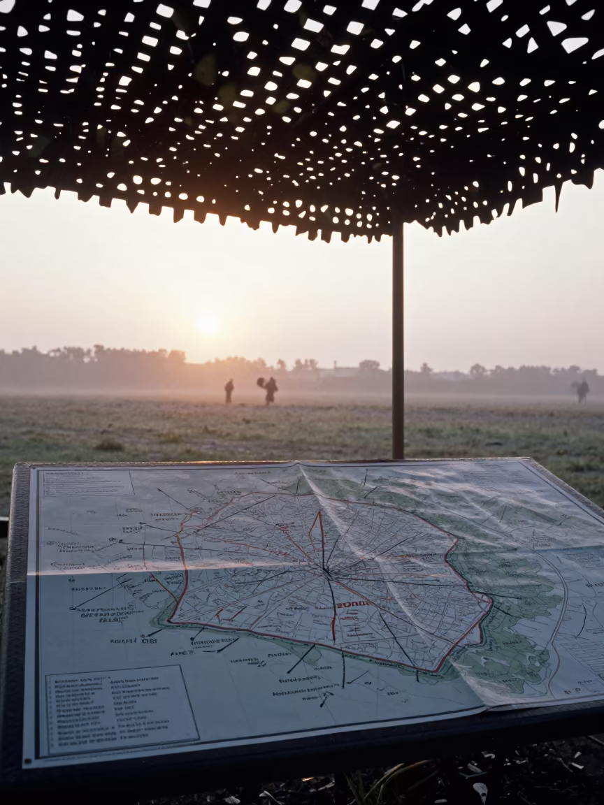
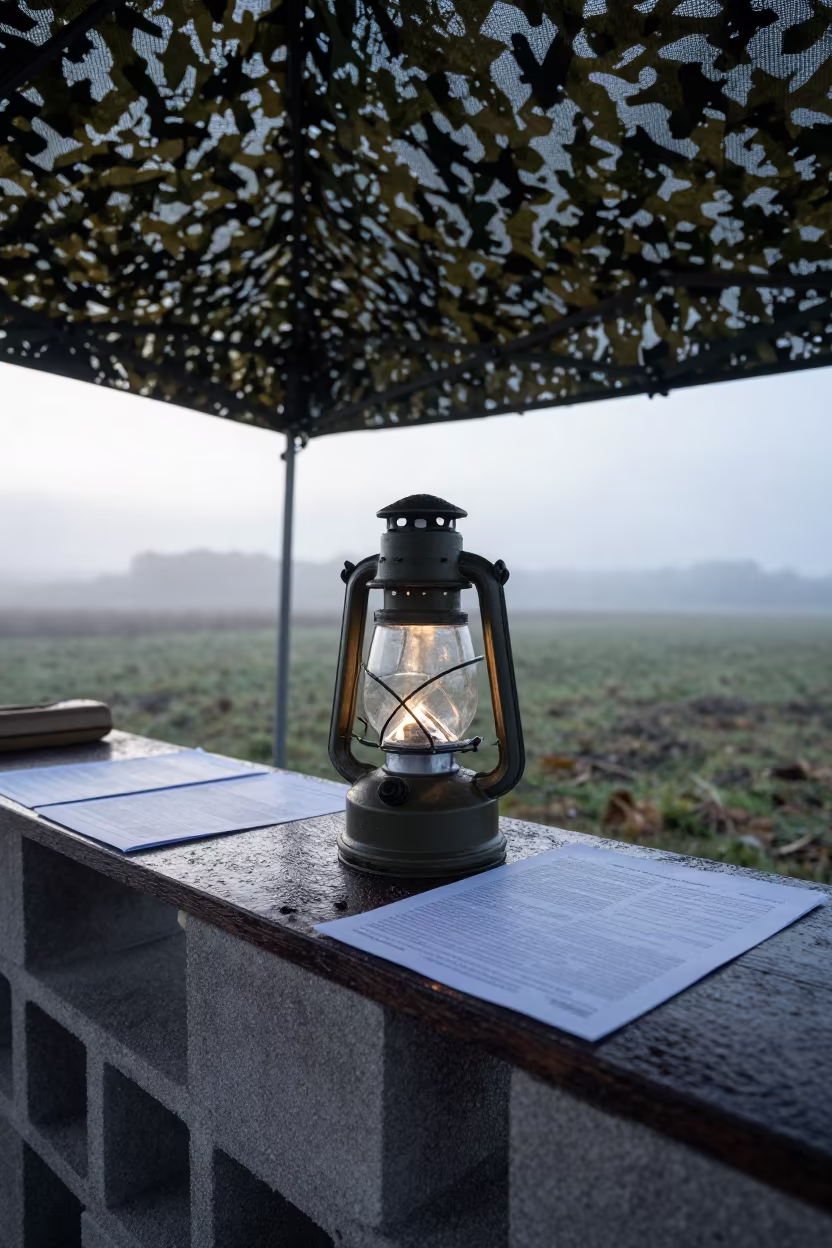
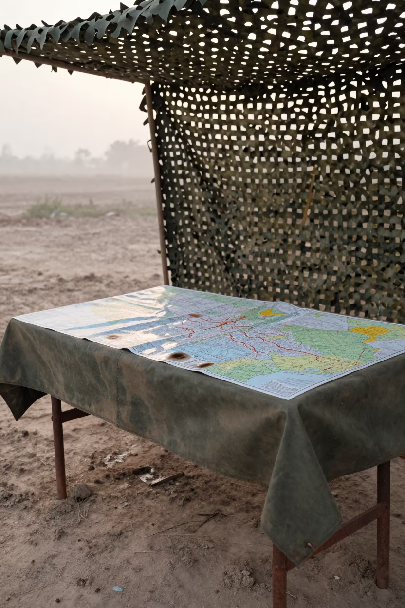
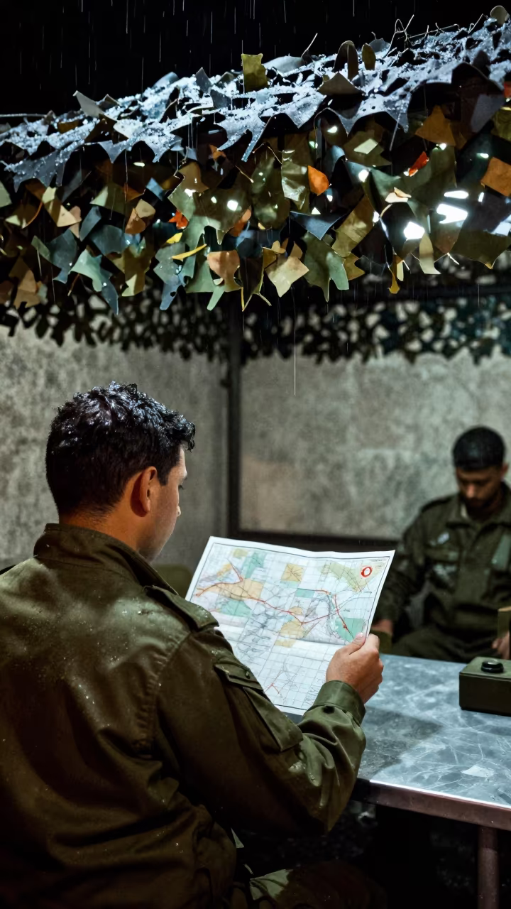
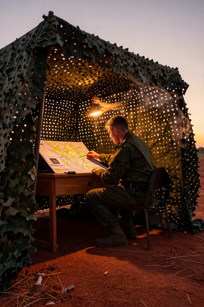
Dawn Command Map Under Camouflage Net
Low morning light cuts through the horizon haze, illuminating a heavy wooden table draped in a map covered in red and blue grease pencil arrows. A camouflage netting hangs overhead, casting dappled shadows across the surface where dust motes swirl in the air, likely stirred by nearby rotor wash. The rough texture of the map paper contrasts with the smooth, worn wood grain. Faint sea spray glistens on the table edge, hinting at the damp Northern Ireland coast nearby. The scene holds a quiet gravity, with the strategic lines of the arrows standing out against the muted greens and browns of the shelter. One arrow tip rests precisely on a grid line, marking a specific coordinate.
Free to download. CDN hosting requires a link back to this page. Terms
Similar Images
Map Table Under Camouflage Net in Early Morning Light
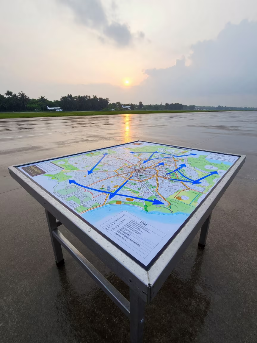
Dawn Command Map Table Arrows Guelmim
Grease Pencil Command Map at Dawn Checkpoint
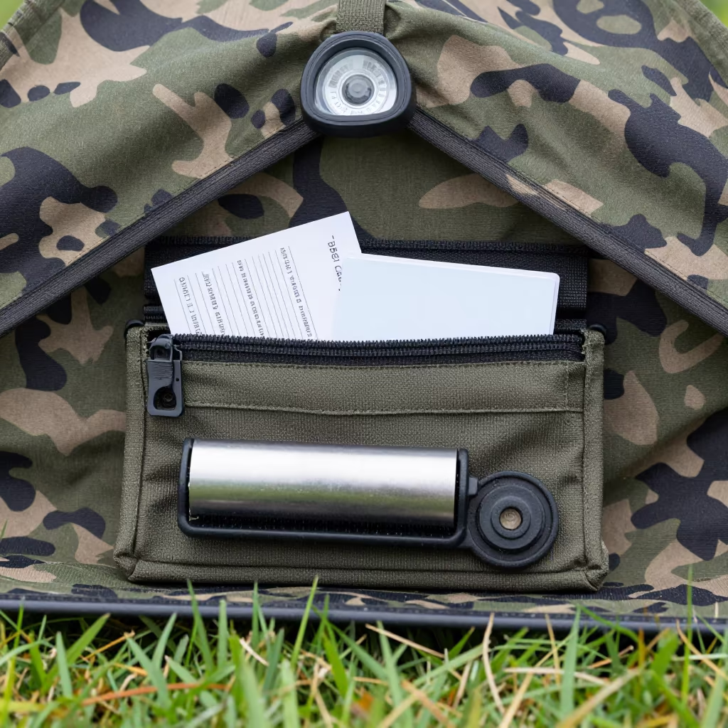
Military Lens Pouch Under Netting in Ireland
Grease Pencil Map on Wet Airbase Table at Dawn
Dawn Command Map With Arrows Burkina Faso
Field Desk Lantern Shelf Before Dawn
Command Map Table With Arrows At Dawn Sulaymaniyah
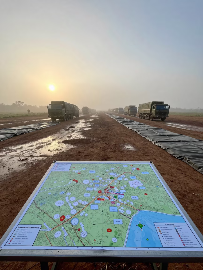
Grease Pencil Map Arrows at Myanmar Dawn
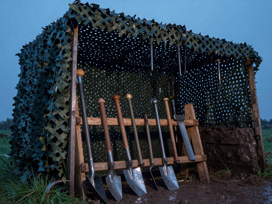
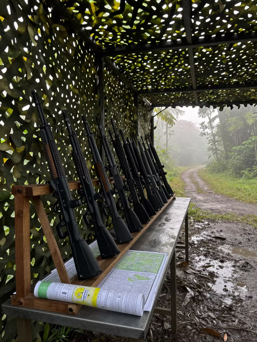
Military trench tool rack under net Ireland evening
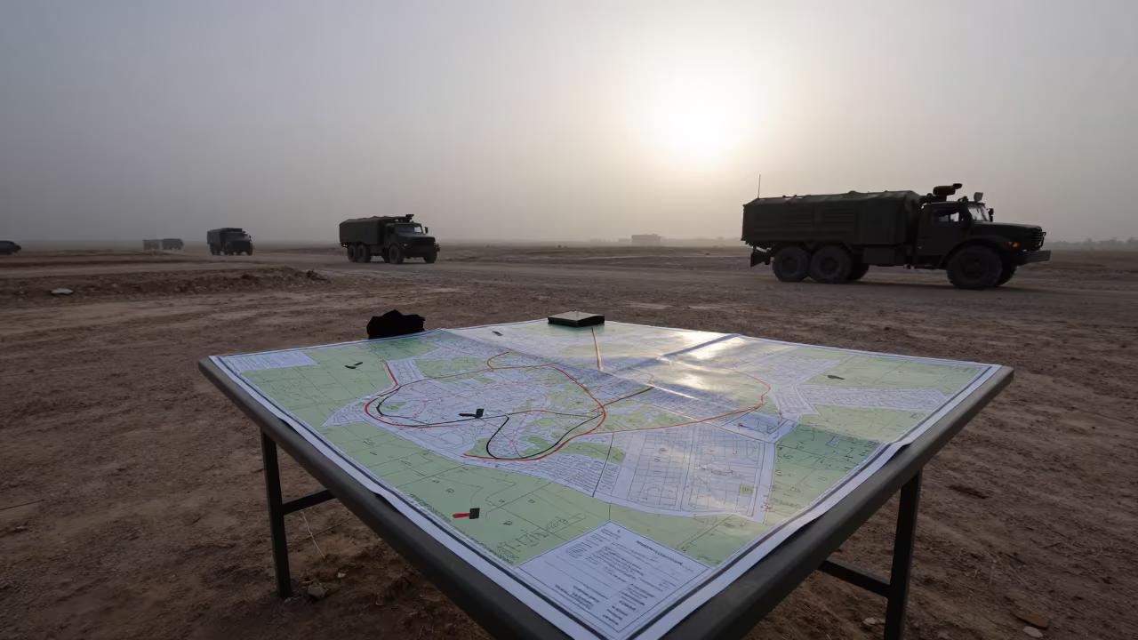
Map Table Under Camo Net in Iraq Mist
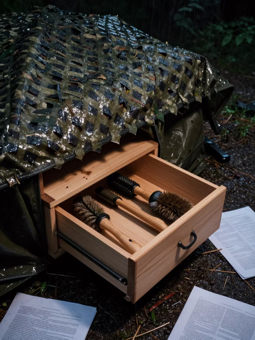
Military Lint Brush Drawer Under Camo Net
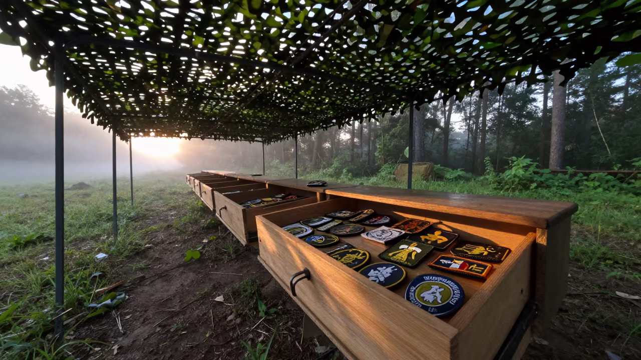
Dawn Light on Military Patch Drawer Under Net

Amber Sunset Field Shower Racks Finland

Chem Light Crate Under Camo Shelter Georgia
Grease Pencil Tray Map Overlay in Honduran Shelter
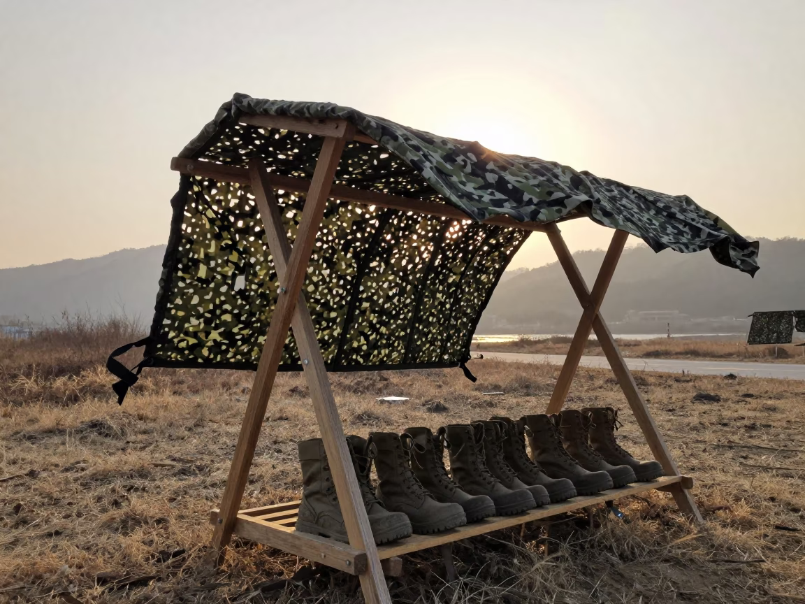
Dawn Light on Military Boot Rack Under Net
Cable Lock Cup on Field Desk Before Dawn
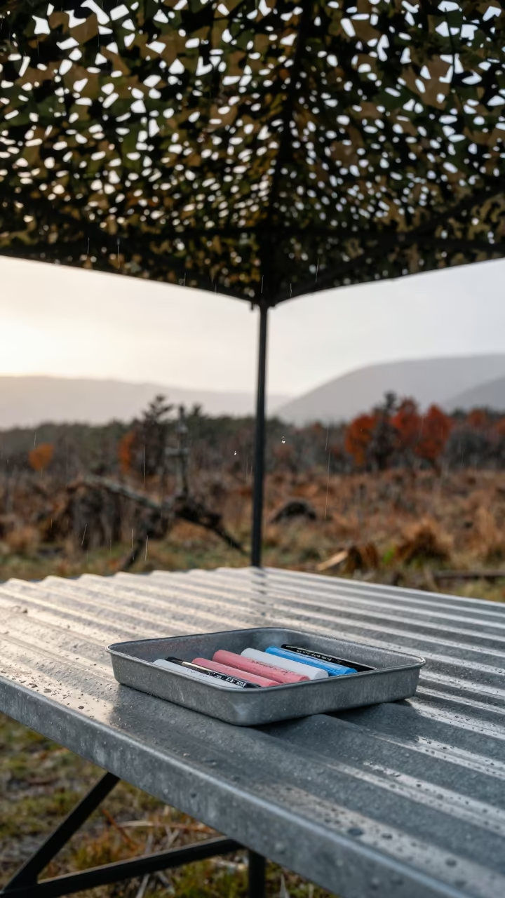
Patagonia Convoy Chalk Tray in Dawn Rain
Jordan Command Post Sunset Planning Table
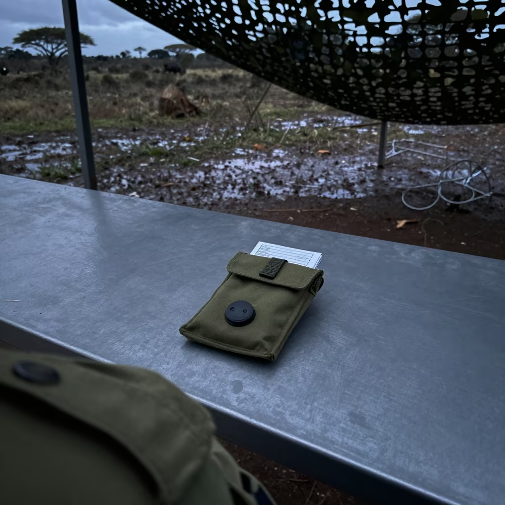
Customs Stamp Pouch Under Camo Net at Dawn
Canteen Clicker Tray Under Camo Net at Sunset
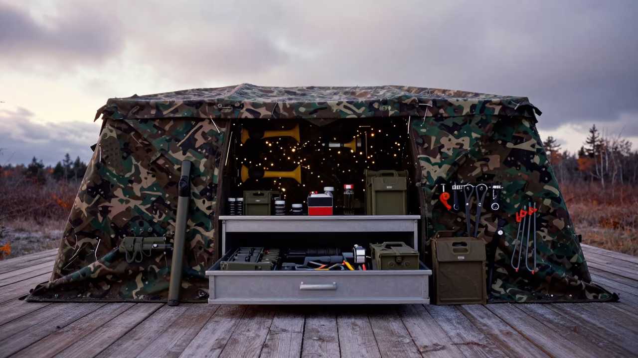
Dawn Readiness Inside Para Camouflage Shelter
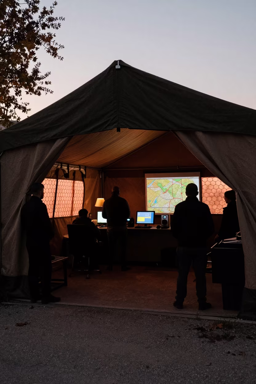
Silhouetted Command Tent in Nablus Bay
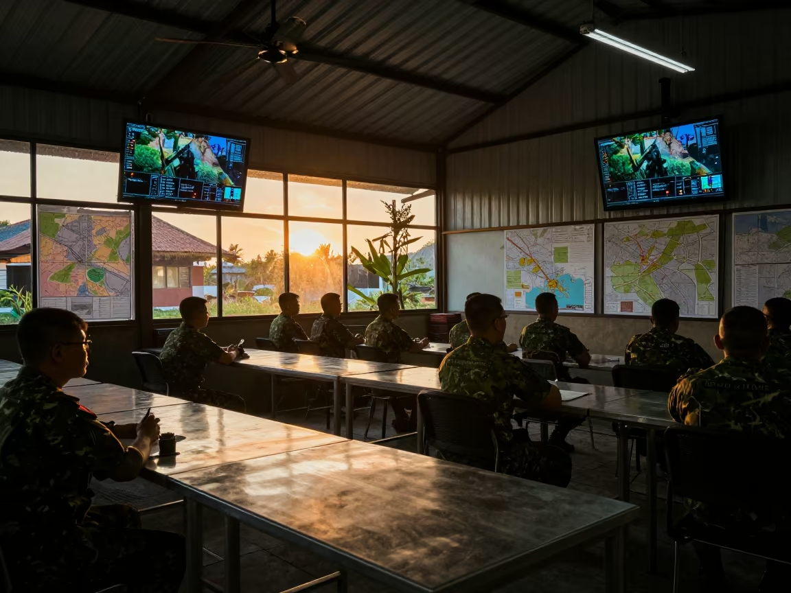
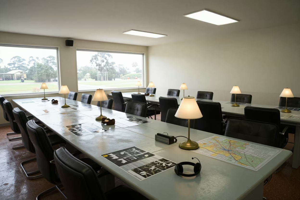
Military Briefing Room Maps Screens Bali Sunset
Algerian Military Map Grid Night Readiness
Savannah Military Command Post Sunset Planning
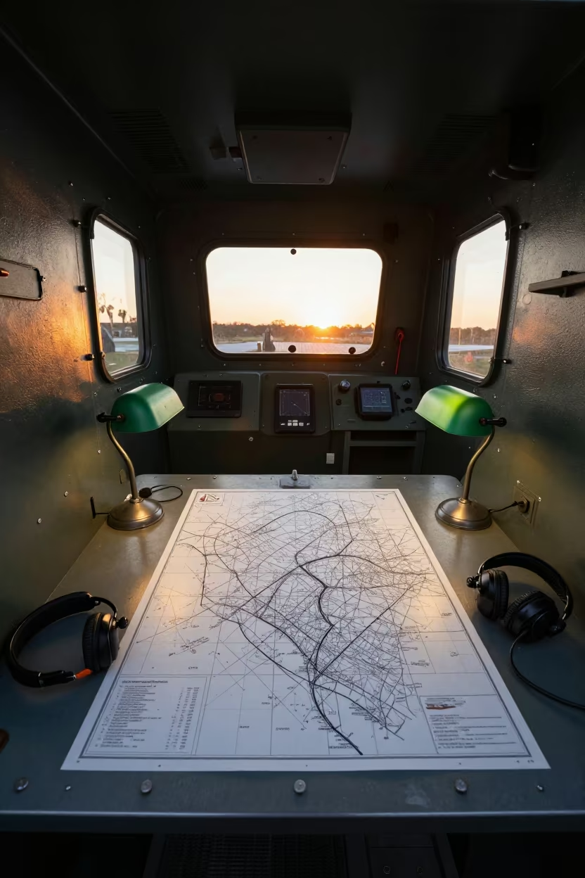
Military Command Post Inside Armored Vehicle Bay
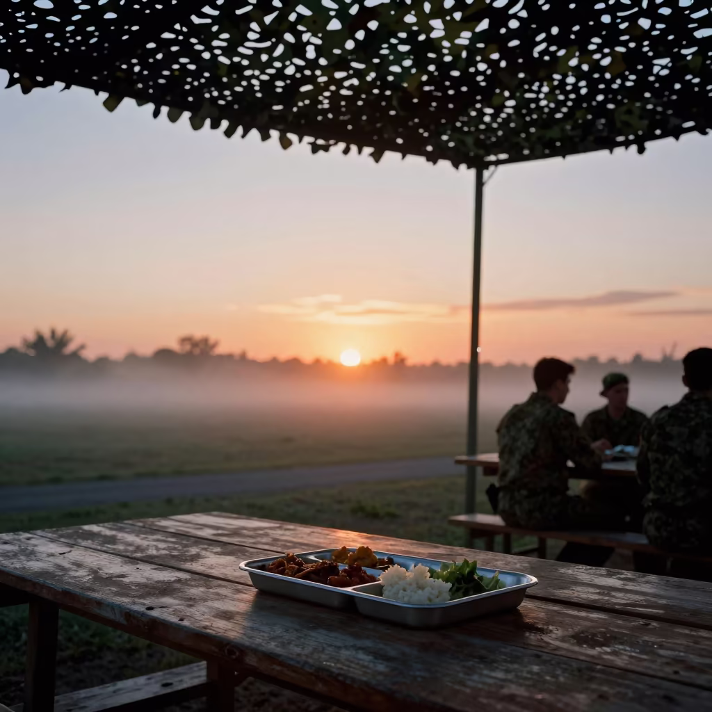
Military Command Post Mess Hall Before Service
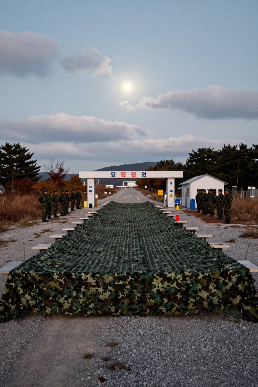
Dawn Checkpoint Camouflage Net Busan
Dispatch Map Drawer Under Camo Net at Sunset
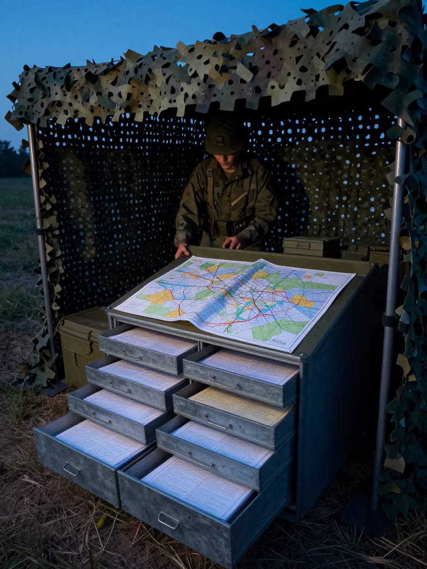
Military Dispatch Map Drawer Under Camo Net
Military Supply Drawer Beneath Camouflage Net
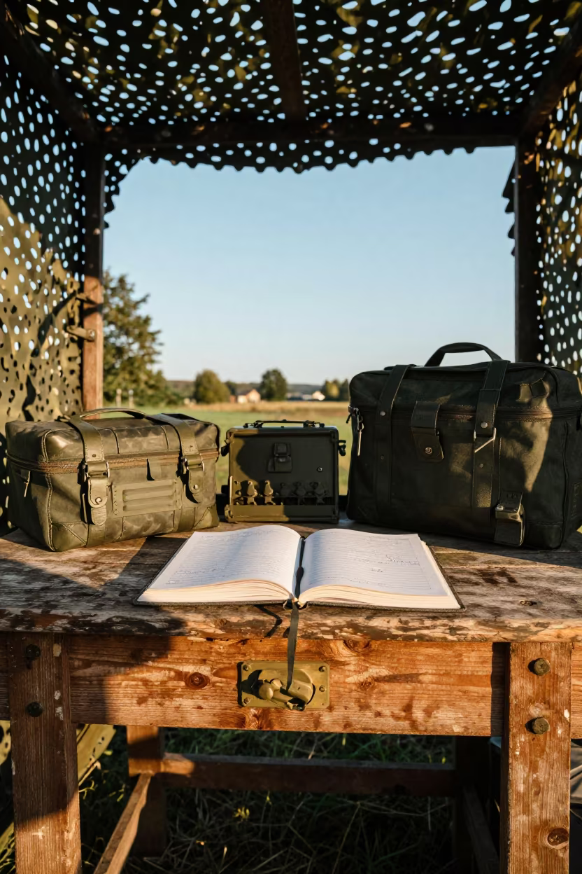
Military Gear Ledger Desk Under Camo Net
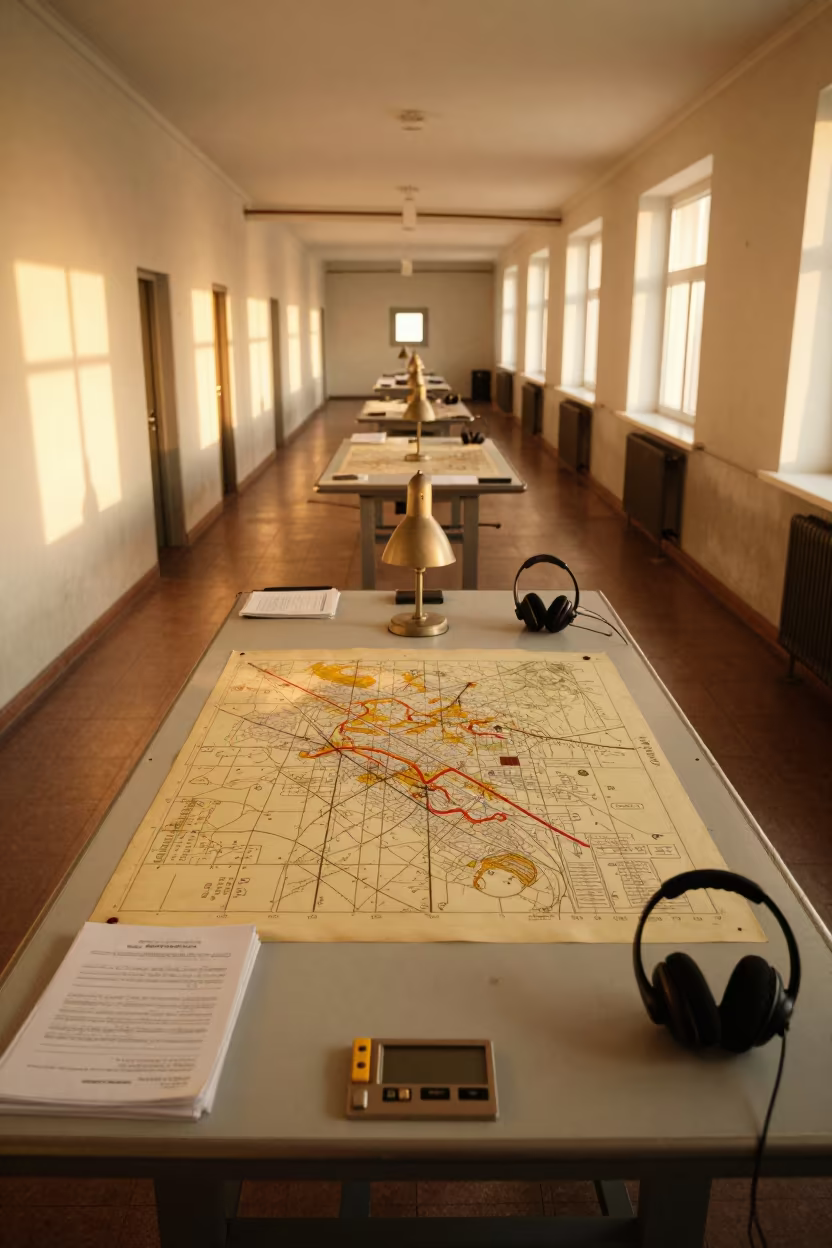
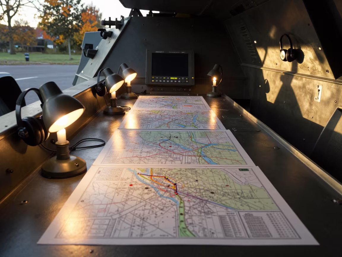
Command Post Map Lamps and Overlays at Golden Hour
Military Command Post Map Table Midday Light
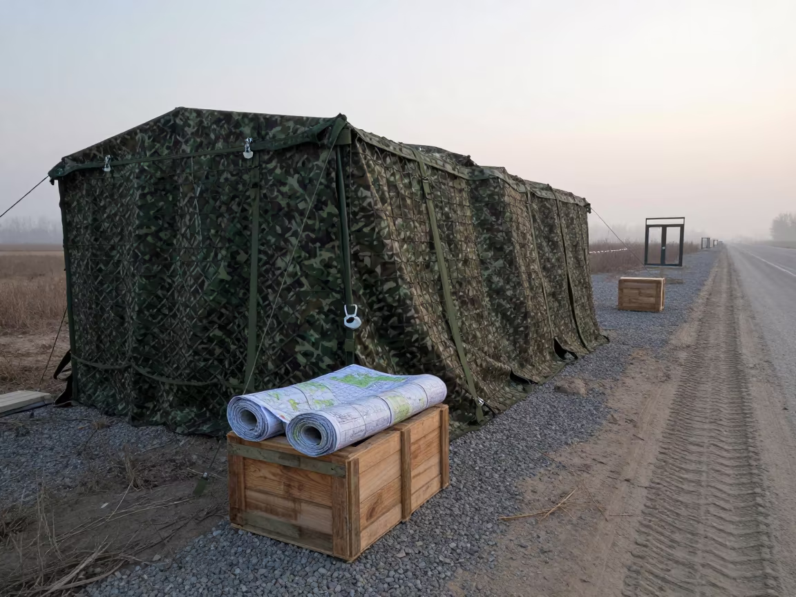
Dawn Military Checkpoint with Camouflage Net Shelter
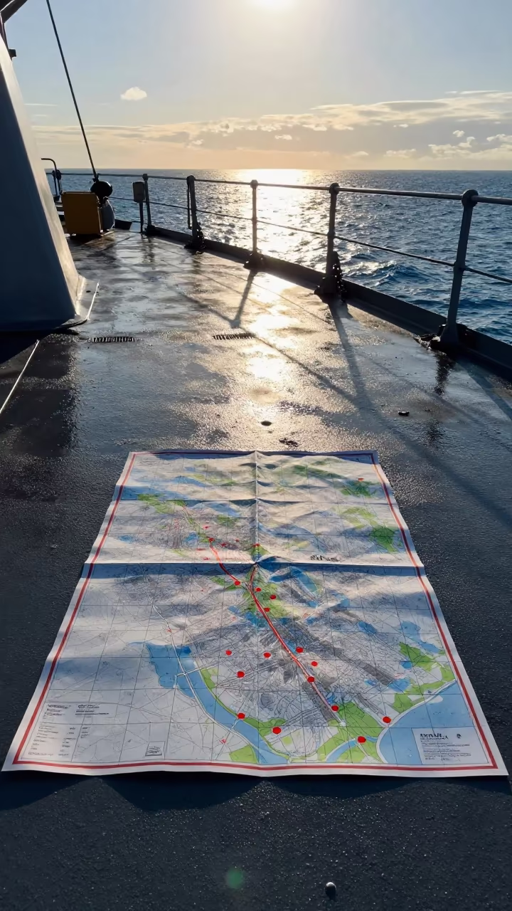
Naval Map Grid on Deck at Golden Hour

Comments